
Your search for “Pennine” returned 123 images.
Clear Search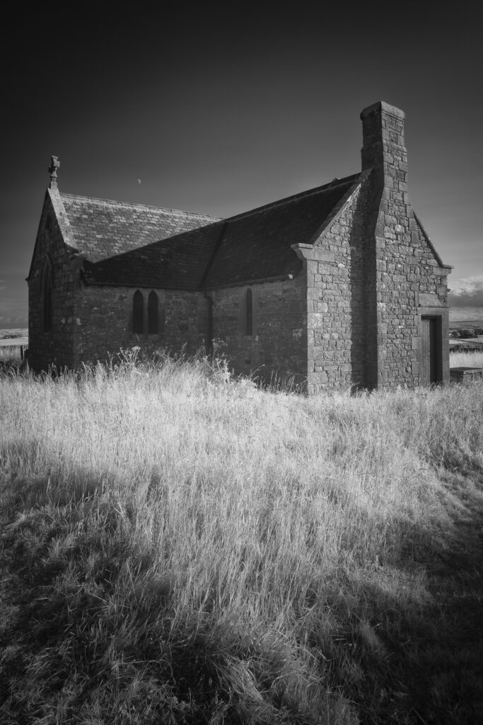
England, Northumberland, St Andrew’s Church & the Hopper Mausoleum. Black & White infrared photo of the redundant church of St Andrew's & the Hopper Mausoleum.which stand isolated upon Greymare Hil near Shotley.
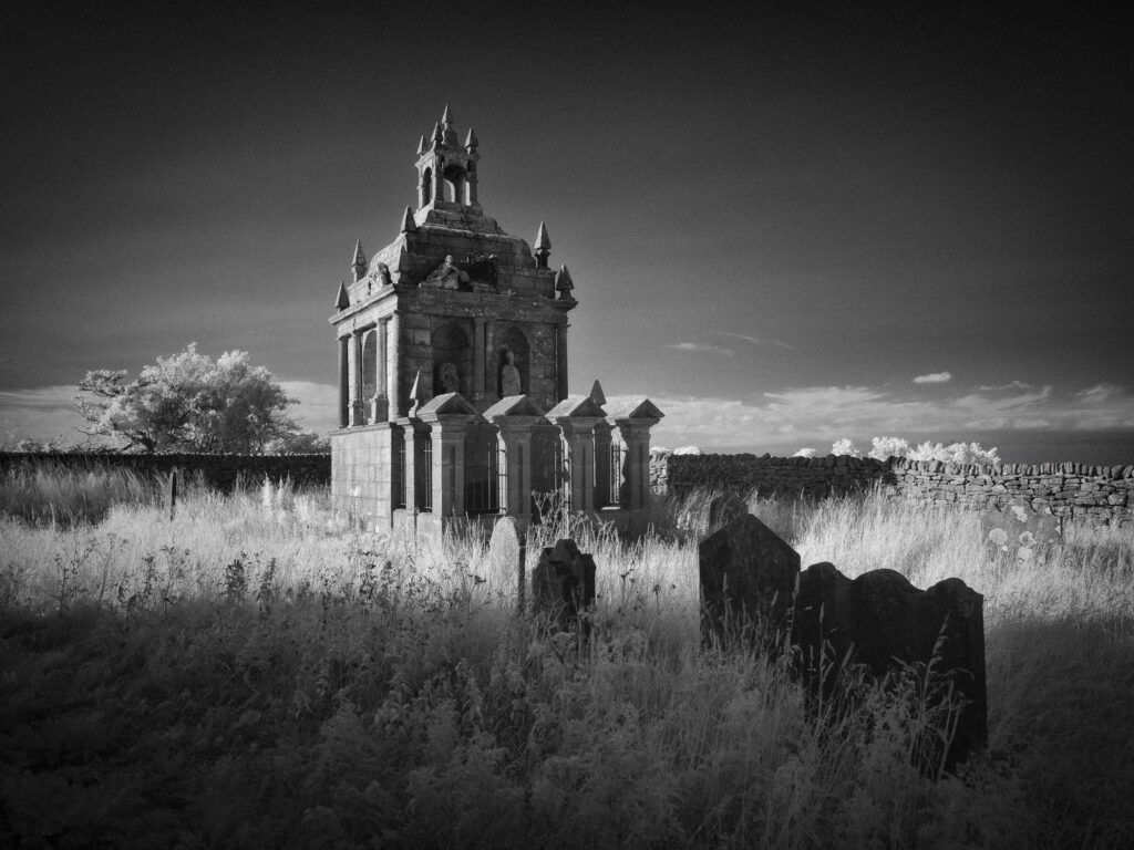
England, Northumberland, St Andrew’s Church & the Hopper Mausoleum. Black & White infrared photo of the redundant church of St Andrew's & the Hopper Mausoleum.which stand isolated upon Greymare Hil near Shotley.
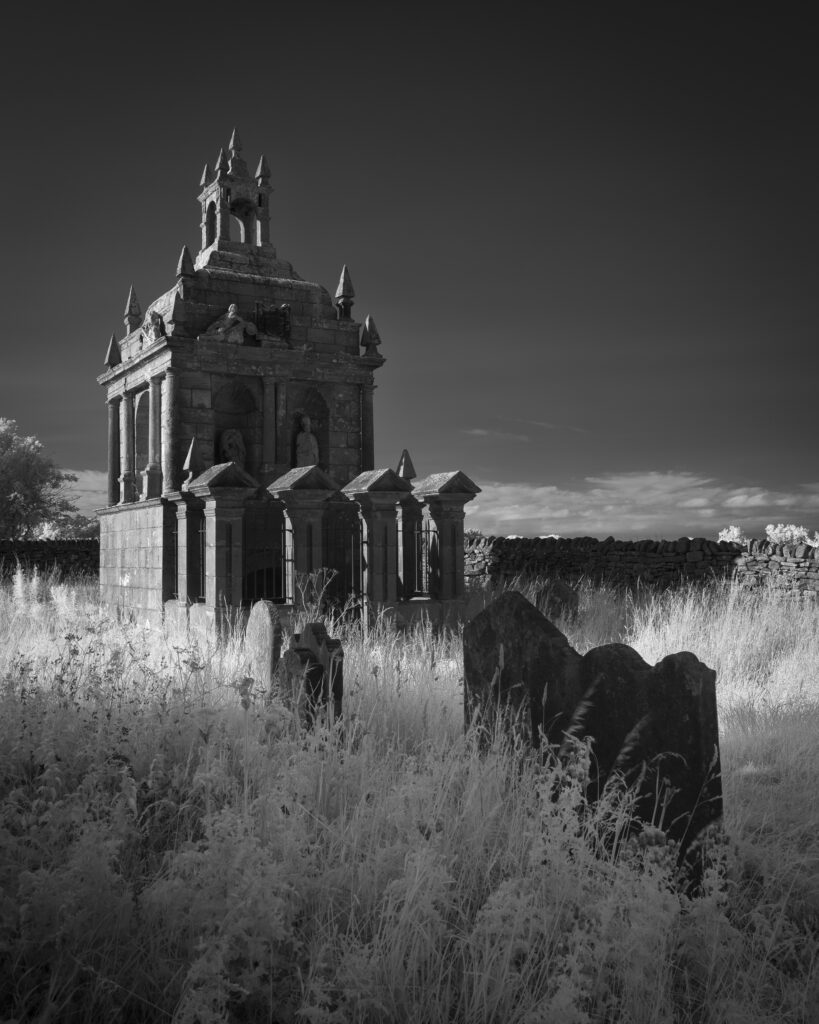
England, Northumberland, St Andrew’s Church & the Hopper Mausoleum. Black & White infrared photo of the redundant church of St Andrew's & the Hopper Mausoleum.which stand isolated upon Greymare Hil near Shotley.
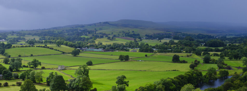
England, County Durham, North Pennines National Landscape. View across Teesdale from Whistle Crag, near Middleton-in-Teesdale.
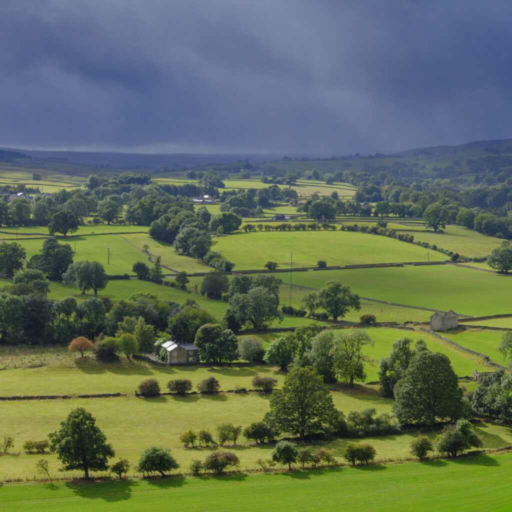
England, County Durham, North Pennines National Landscape. View across Teesdale from Whistle Crag, near Middleton-in-Teesdale.
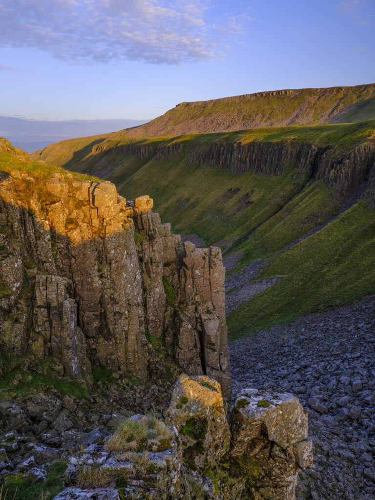
England, Cumbria, High Cup Nick. High Cup Gill — also known as High Cup Nick — is a strikingly symmetrical U-shaped valley carved deep into the Pennine escarpment near Appleby-in-Westmorland, Cumbria, within the North Pennines Area of Outstanding Natural Beauty.
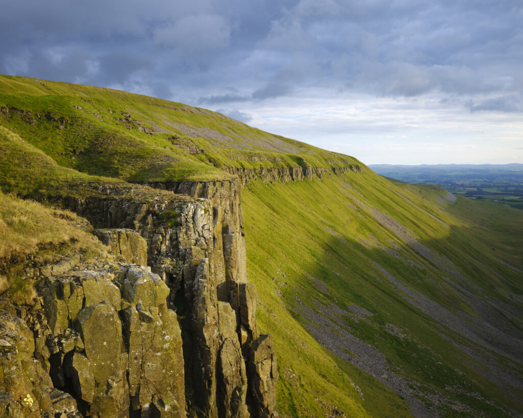
England, Cumbria, High Cup Nick. High Cup Gill — also known as High Cup Nick — is a strikingly symmetrical U-shaped valley carved deep into the Pennine escarpment near Appleby-in-Westmorland, Cumbria, within the North Pennines Area of Outstanding Natural Beauty.
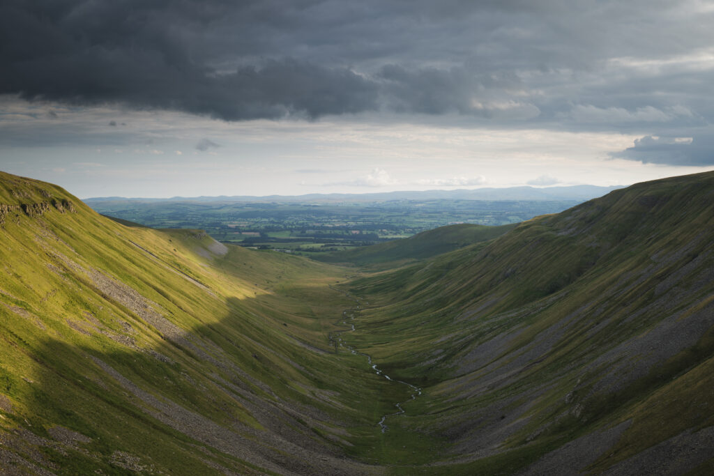
England, Cumbria, High Cup Nick. High Cup Gill — also known as High Cup Nick — is a strikingly symmetrical U-shaped valley carved deep into the Pennine escarpment near Appleby-in-Westmorland, Cumbria, within the North Pennines Area of Outstanding Natural Beauty.
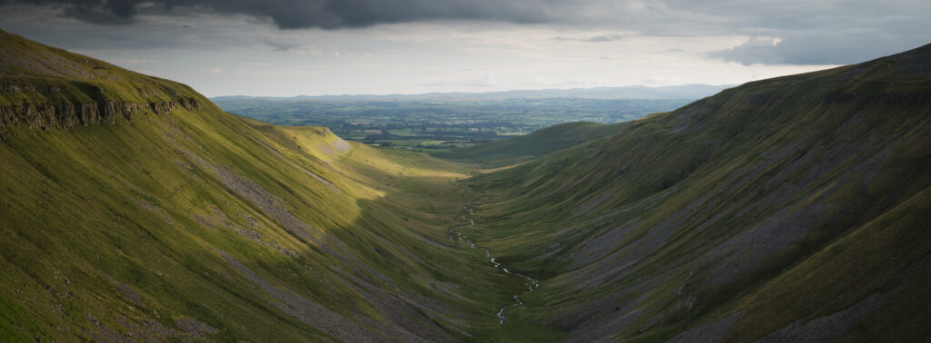
England, Cumbria, High Cup Nick. High Cup Gill — also known as High Cup Nick — is a strikingly symmetrical U-shaped valley carved deep into the Pennine escarpment near Appleby-in-Westmorland, Cumbria, within the North Pennines Area of Outstanding Natural Beauty.
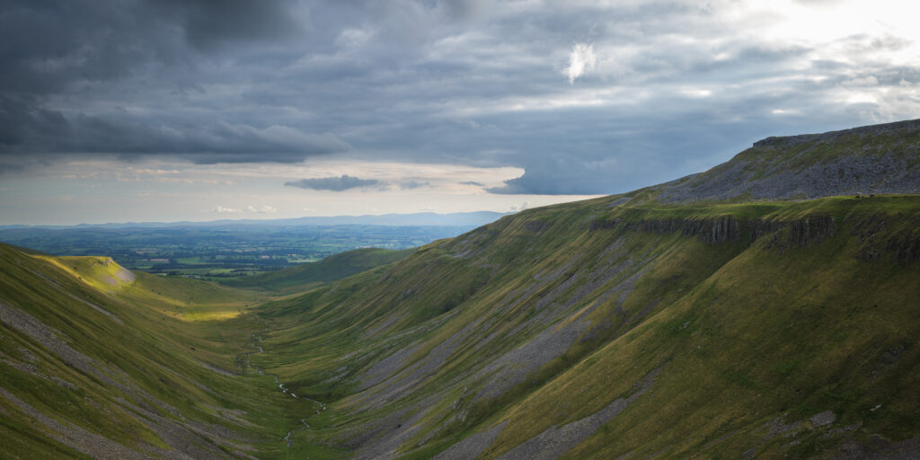
England, Cumbria, High Cup Nick. High Cup Gill — also known as High Cup Nick — is a strikingly symmetrical U-shaped valley carved deep into the Pennine escarpment near Appleby-in-Westmorland, Cumbria, within the North Pennines Area of Outstanding Natural Beauty.
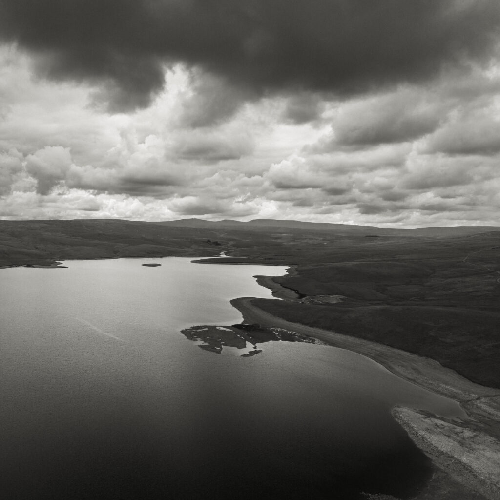
England, County Durham, Cow Green Reservoir. Aerial photo of Cow Green Reservoir, built to supply water to the industries of Teesside.
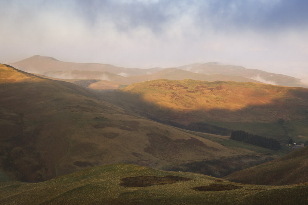
Scotland, Scottish Borders, Kirk Yetholm. View from the Pennine Way near White Law in Northumberland, looking towards Wildgoose Hill, Latchly Hill and the Southern Uplands in the Scottish Borders, on a misty morning at sunrise.
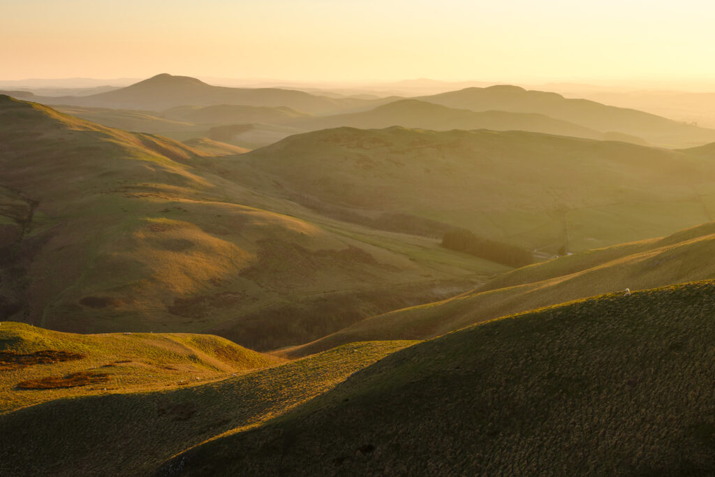
Scotland, Scottish Borders, Kirk Yetholm. View from the Pennine Way near White Law in Northumberland, looking towards Wildgoose Hill, Latchly Hill, the Southern Uplands and the Eildon Hills in the Scottish Borders, on a misty evening at sunset.
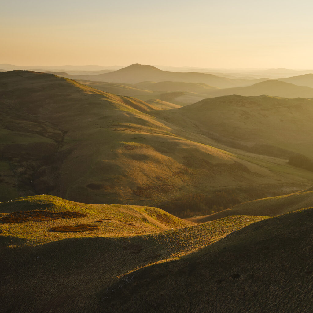
Scotland, Scottish Borders, Kirk Yetholm. View from the Pennine Way near White Law in Northumberland, looking towards Wildgoose Hill, Latchly Hill, the Southern Uplands and the Eildon Hills in the Scottish Borders, on a misty evening at sunset.
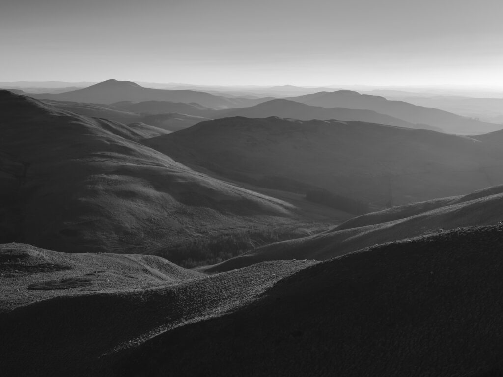
Scotland, Scottish Borders, Kirk Yetholm. View from the Pennine Way near White Law in Northumberland, looking towards Wildgoose Hill, Latchly Hill, the Southern Uplands and the Eildon Hills in the Scottish Borders, on a misty evening at sunset.
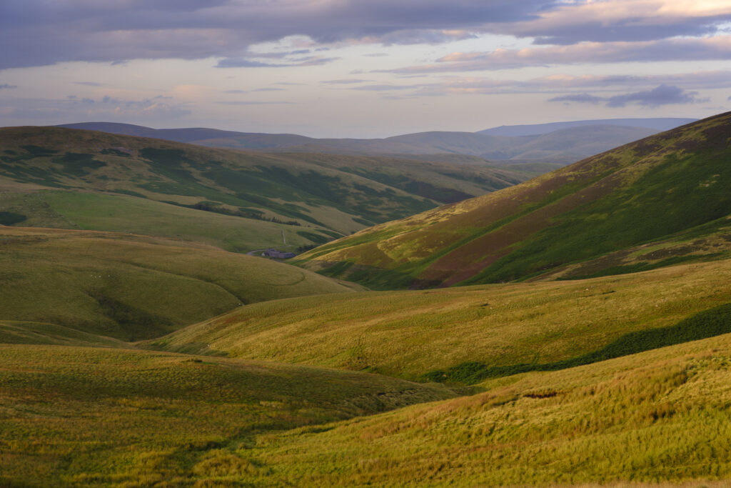
England, Northumberland, Northumberland National Park. Evening light illuminates the rolling hills of Upper Coquetdale in Northumberland National Park.
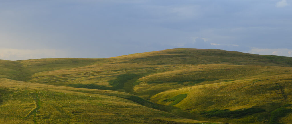
England, Northumberland, Northumberland National Park. Evening light illuminates the rolling hills of Upper Coquetdale in Northumberland National Park.
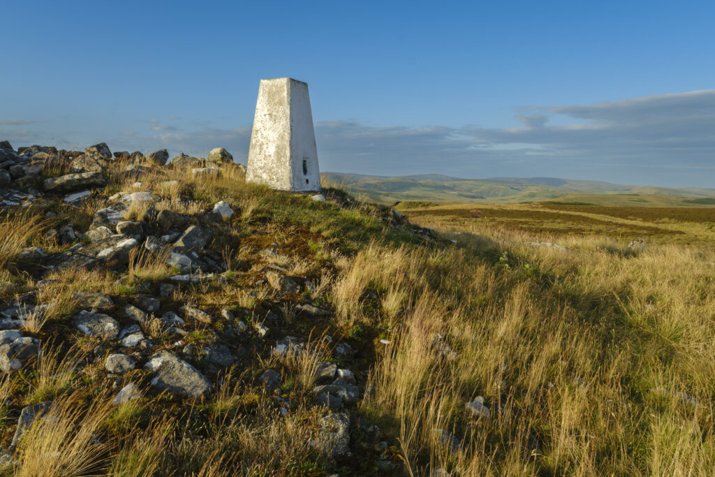
England, Northumberland, Northumberland National Park. Ridlees Cairn located in the Otterburn Ranges towards the western end of Upper Coquetdale.
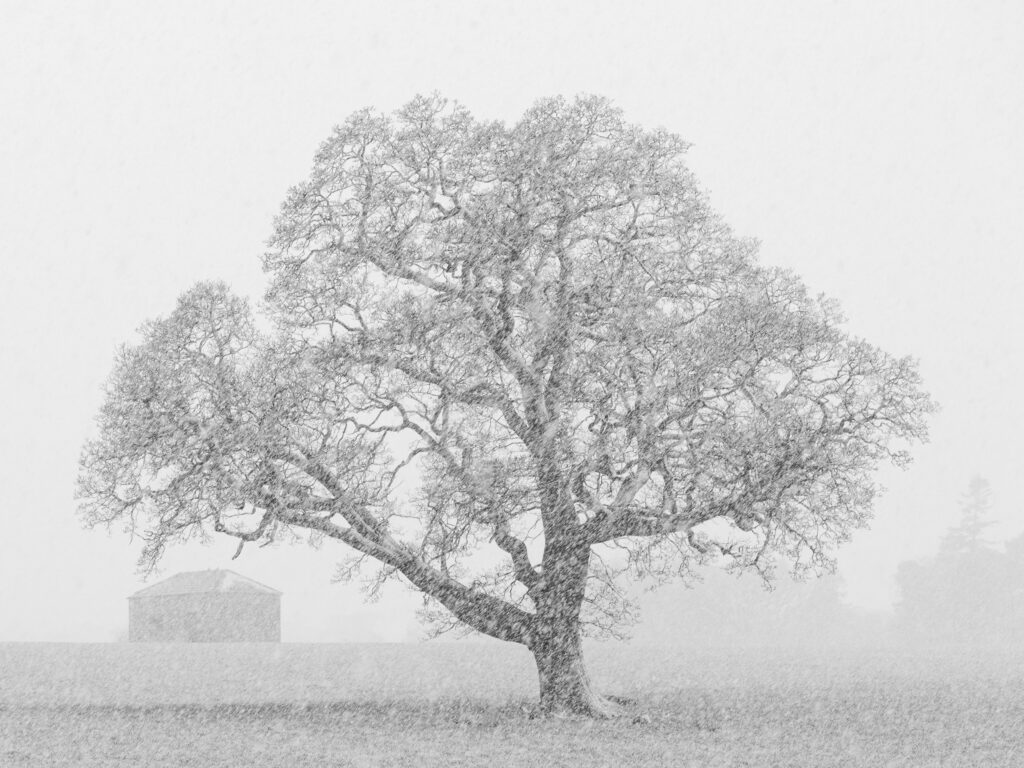
England, County Durham, Barnard Castle. A spring snowfall creates blizzard like conditions on farm land near Barnard Castle.
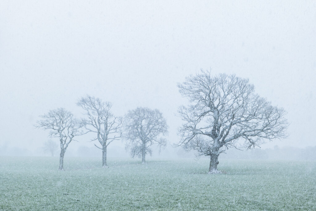
England, County Durham, Barnard Castle. A spring snowfall creates blizzard like conditions on farm land near Barnard Castle.
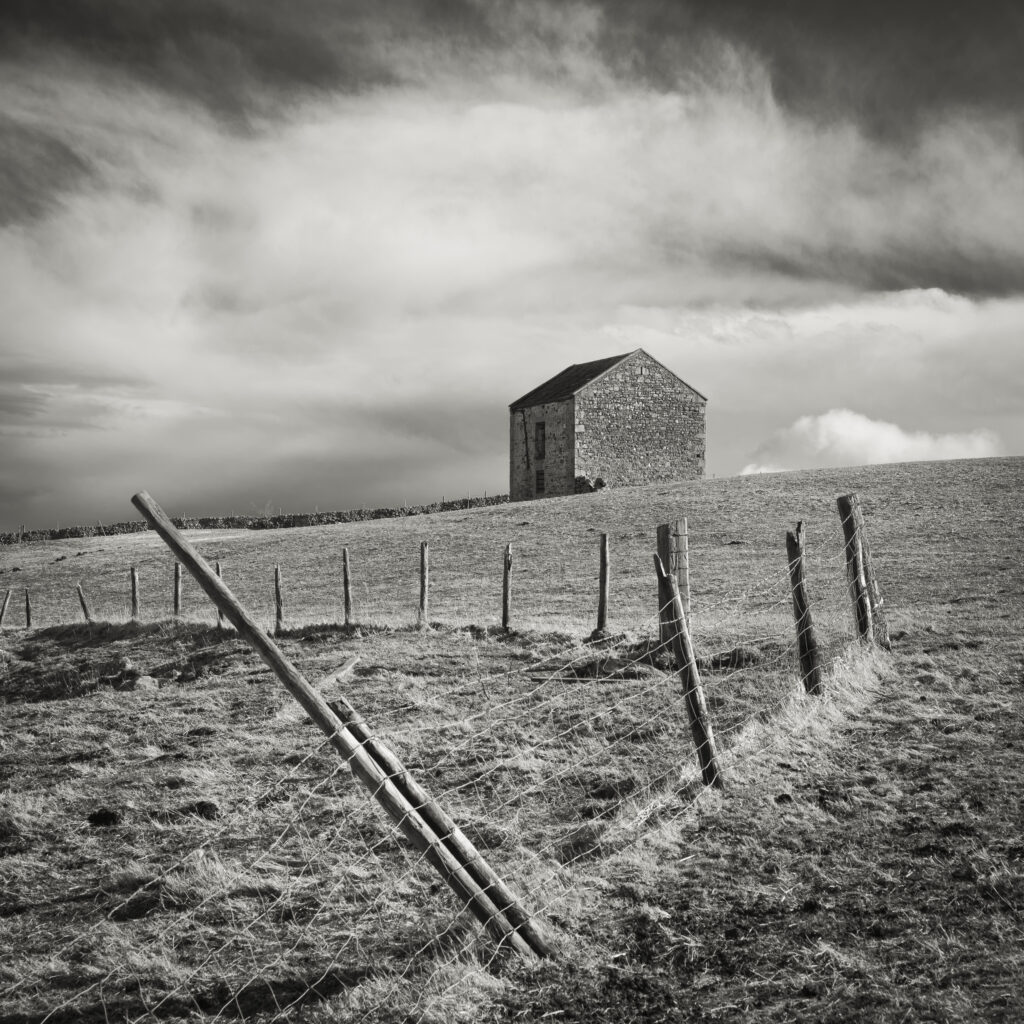
England, County Durham, Tees Dale. Farm building in a sheep field near to Bowlees.
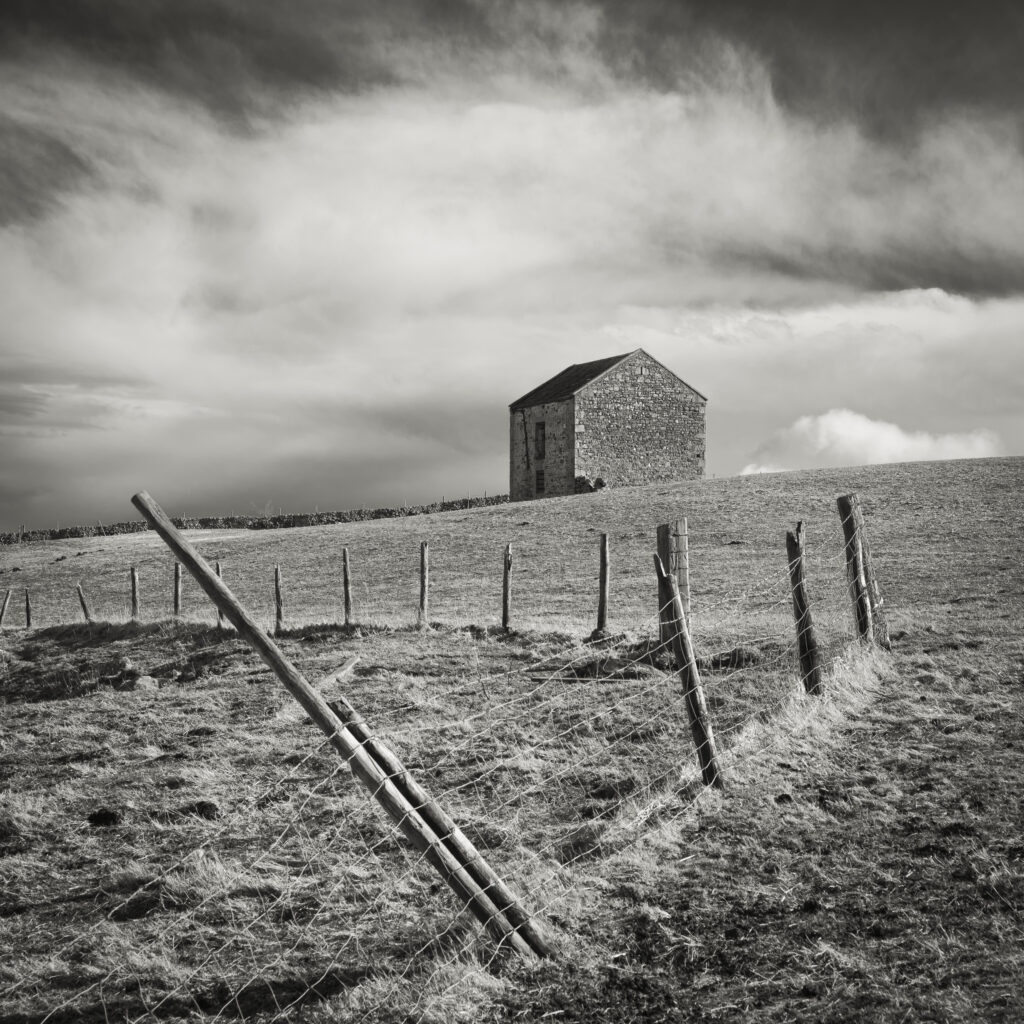
England, County Durham, Tees Dale. Farm building in a sheep field near to Bowlees.
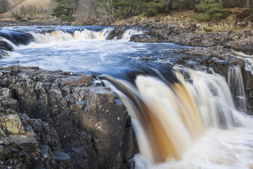
England, County Durham, Low Force. The River Tees cascades down the Low Force waterfall in County Durham.
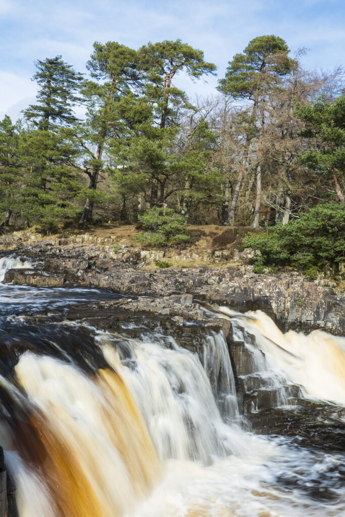
England, County Durham, Low Force. The River Tees cascades down the Low Force waterfall in County Durham.
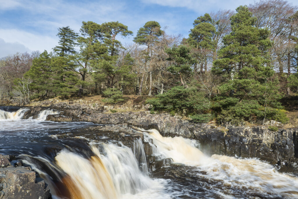
England, County Durham, Low Force. The River Tees cascades down the Low Force waterfall in County Durham.
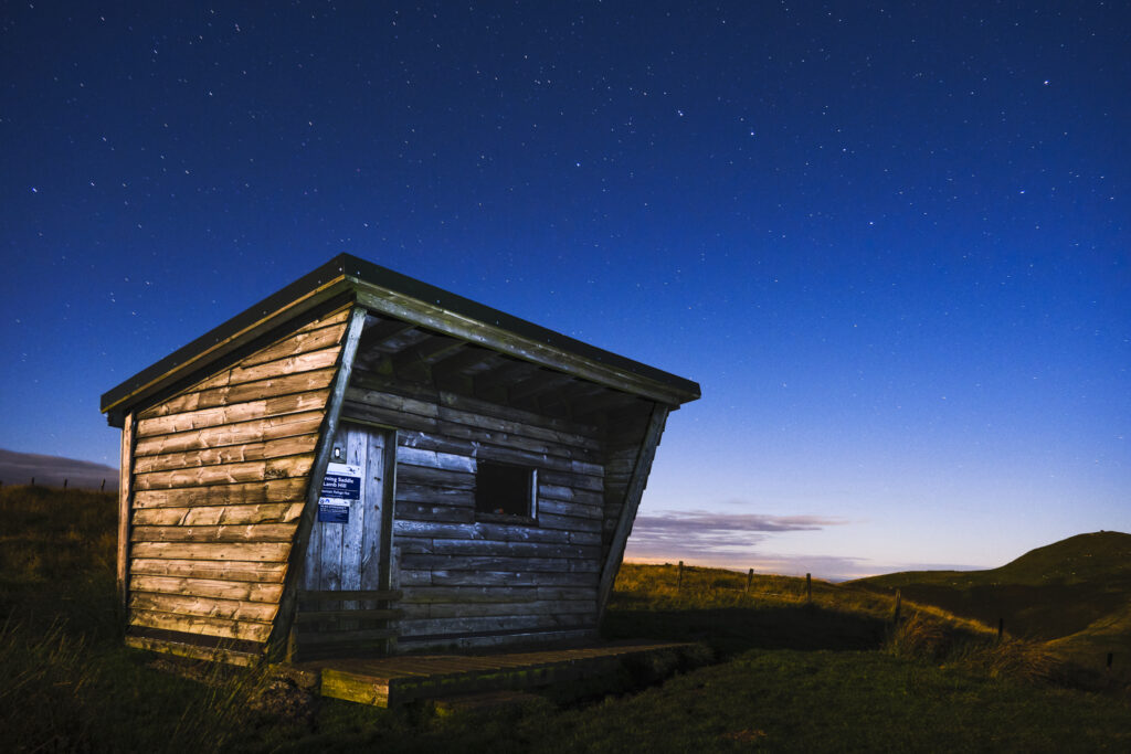
England, Northumberland, Northumberland National Park. Midnight at the Yearning Saddle / Lamb Hill Refuge Hut, located along the Pennine Way long distance track as it runs through the Cheviot Hills near the Scottish Border.
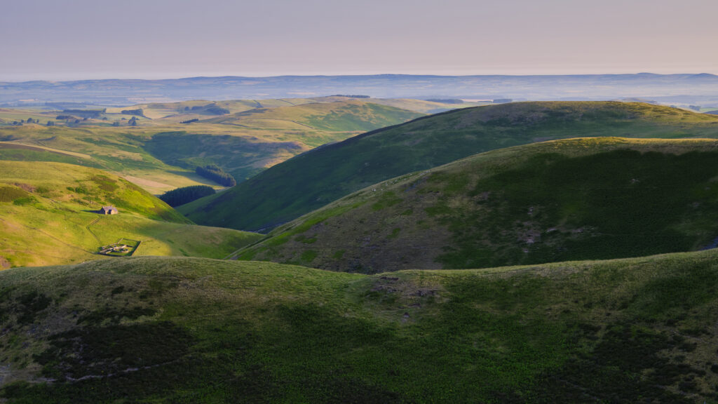
England, Northumberland, Northumberland National Park. Looking north from the Lamb Hill Mountain Refuge Hut at dawn, across the national park towards the Scottish Borders.
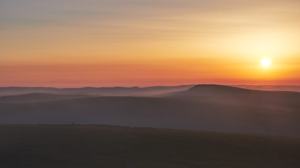
England, Northumberland, Northumberland National Park. Smoke from a nearby wild fire on the Otterburn Ranges engulfs the Cheviot Hills.
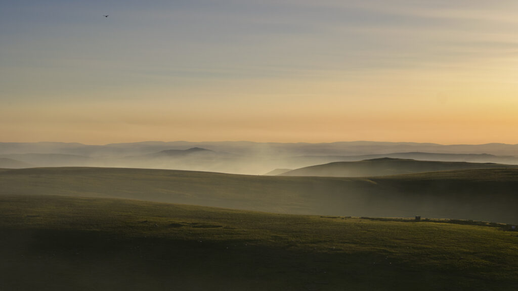
England, Northumberland, Northumberland National Park. Smoke from a nearby wild fire on the Otterburn Ranges engulfs the Cheviot Hills.
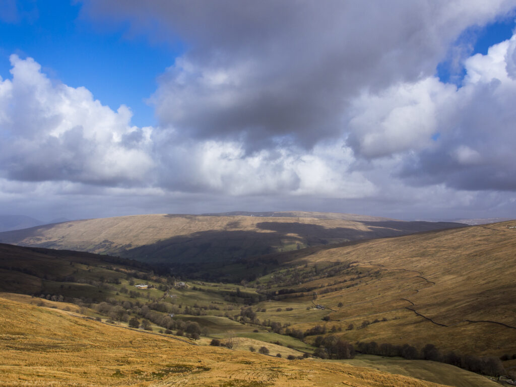
England, North Yorkshire, Yorkshire Dales National Park. Deepdale, a secluded valley in the Yorkshire Dales National Park near the village of Dent.
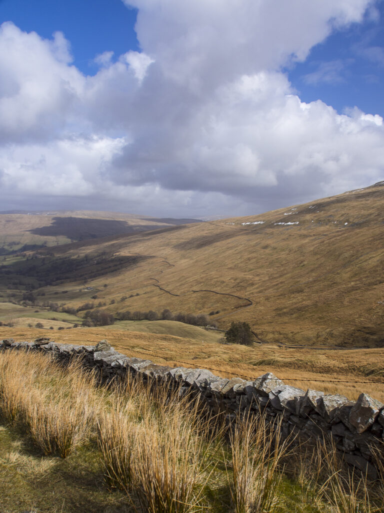
England, North Yorkshire, Yorkshire Dales National Park. Deepdale, a secluded valley in the Yorkshire Dales National Park near the village of Dent.
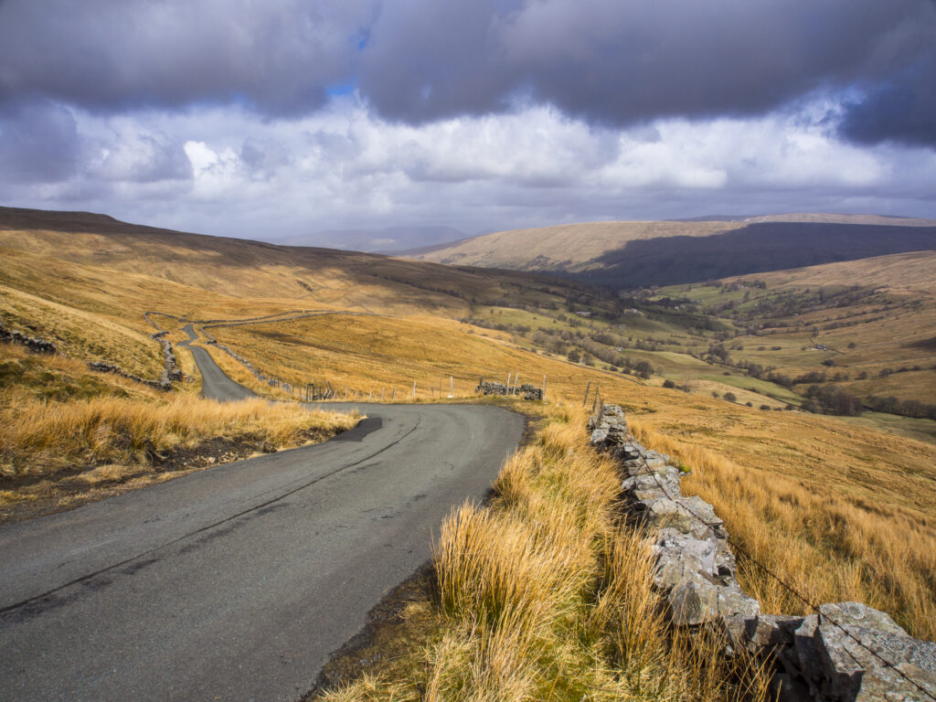
England, North Yorkshire, Yorkshire Dales National Park. Deepdale, a secluded valley in the Yorkshire Dales National Park near the village of Dent.
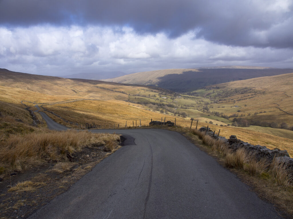
England, North Yorkshire, Yorkshire Dales National Park. Deepdale, a secluded valley in the Yorkshire Dales National Park near the village of Dent.
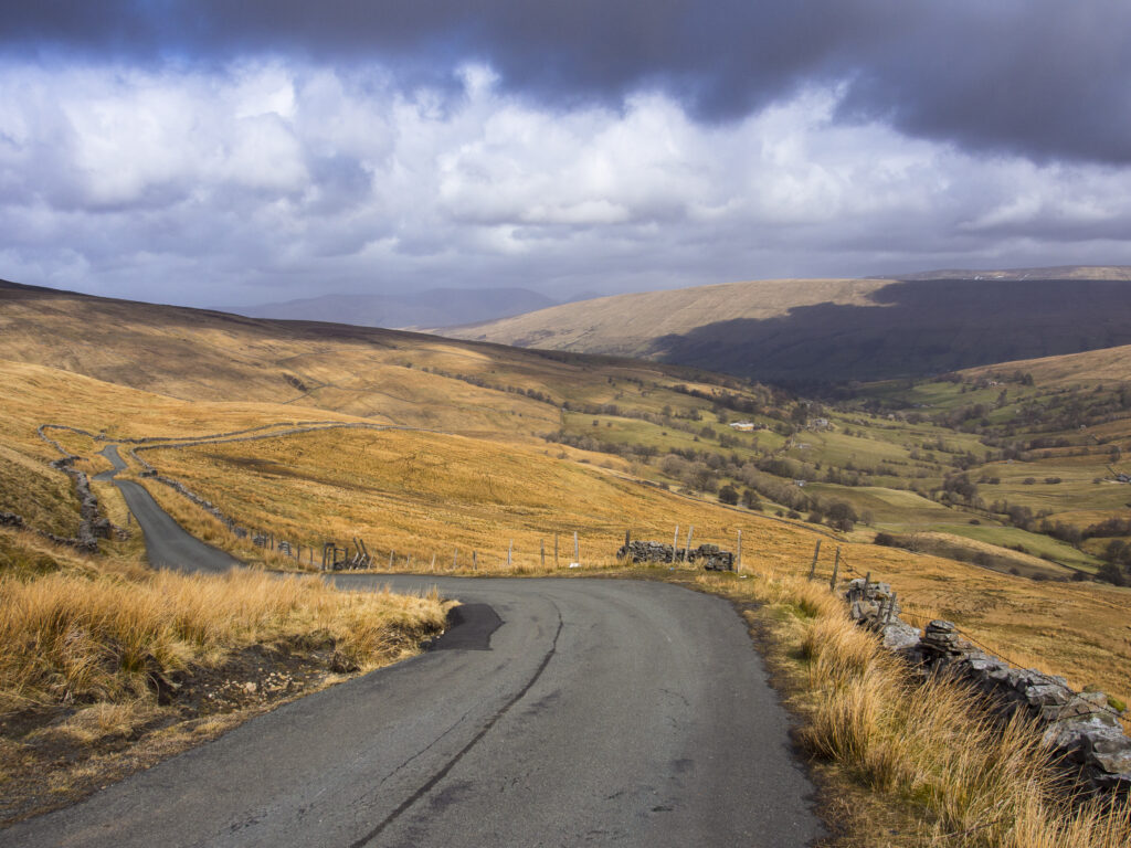
England, North Yorkshire, Yorkshire Dales National Park. Deepdale, a secluded valley in the Yorkshire Dales National Park near the village of Dent.
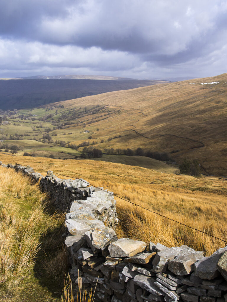
England, North Yorkshire, Yorkshire Dales National Park. Deepdale, a secluded valley in the Yorkshire Dales National Park near the village of Dent.
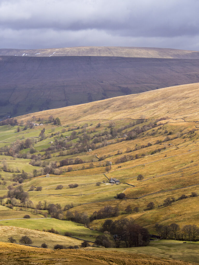
England, North Yorkshire, Yorkshire Dales National Park. Deepdale, a secluded valley in the Yorkshire Dales National Park near the village of Dent.
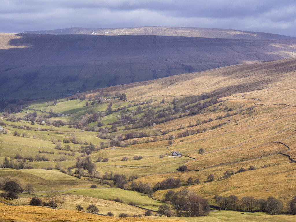
England, North Yorkshire, Yorkshire Dales National Park. Deepdale, a secluded valley in the Yorkshire Dales National Park near the village of Dent.
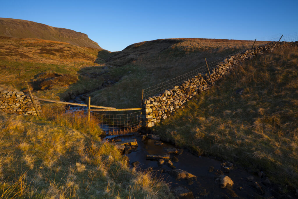
England, North Yorkshire, Yorkshire Dales National Park. Last light on Horton Moor in the Pennines, with the distinctive peak of Pen-y-ghent in the distance.
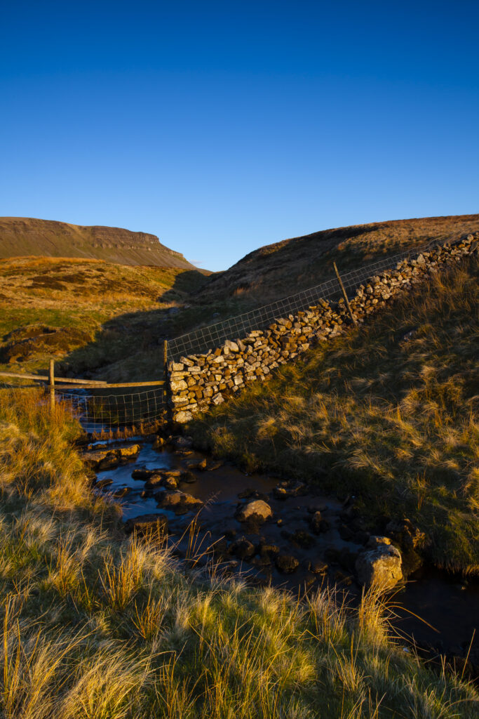
England, North Yorkshire, Yorkshire Dales National Park. Last light on Horton Moor in the Pennines, with the distinctive peak of Pen-y-ghent in the distance.
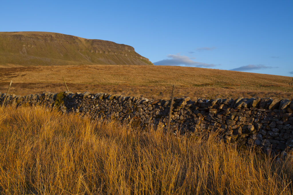
England, North Yorkshire, Yorkshire Dales National Park. Last light on Horton Moor in the Pennines, with the distinctive peak of Pen-y-ghent in the distance.
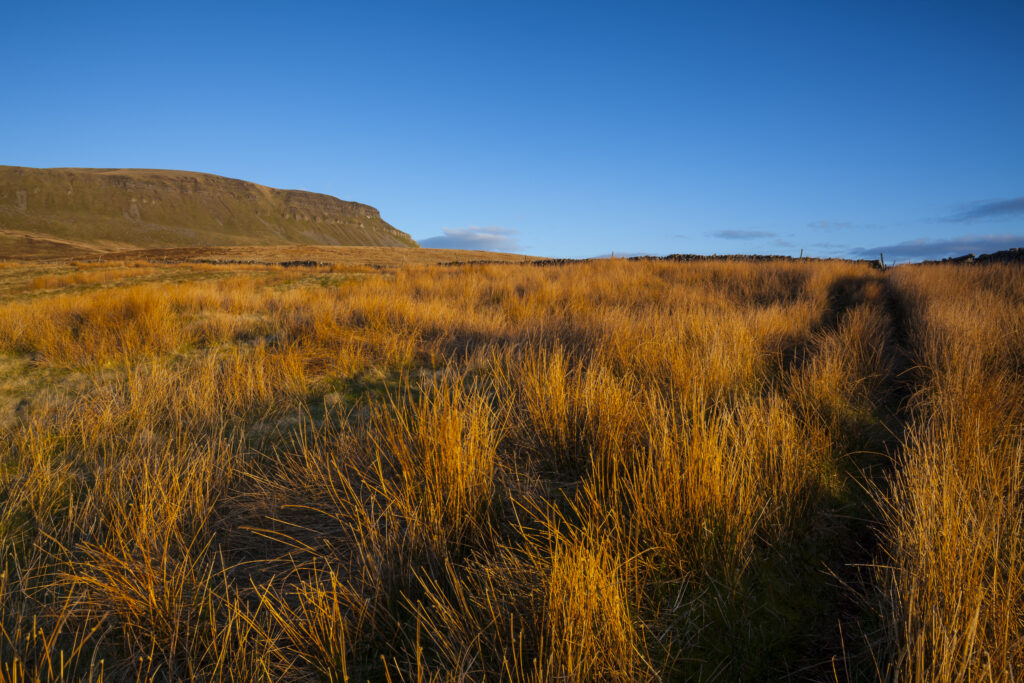
England, North Yorkshire, Yorkshire Dales National Park. Last light on Horton Moor in the Pennines, with the distinctive peak of Pen-y-ghent in the distance.
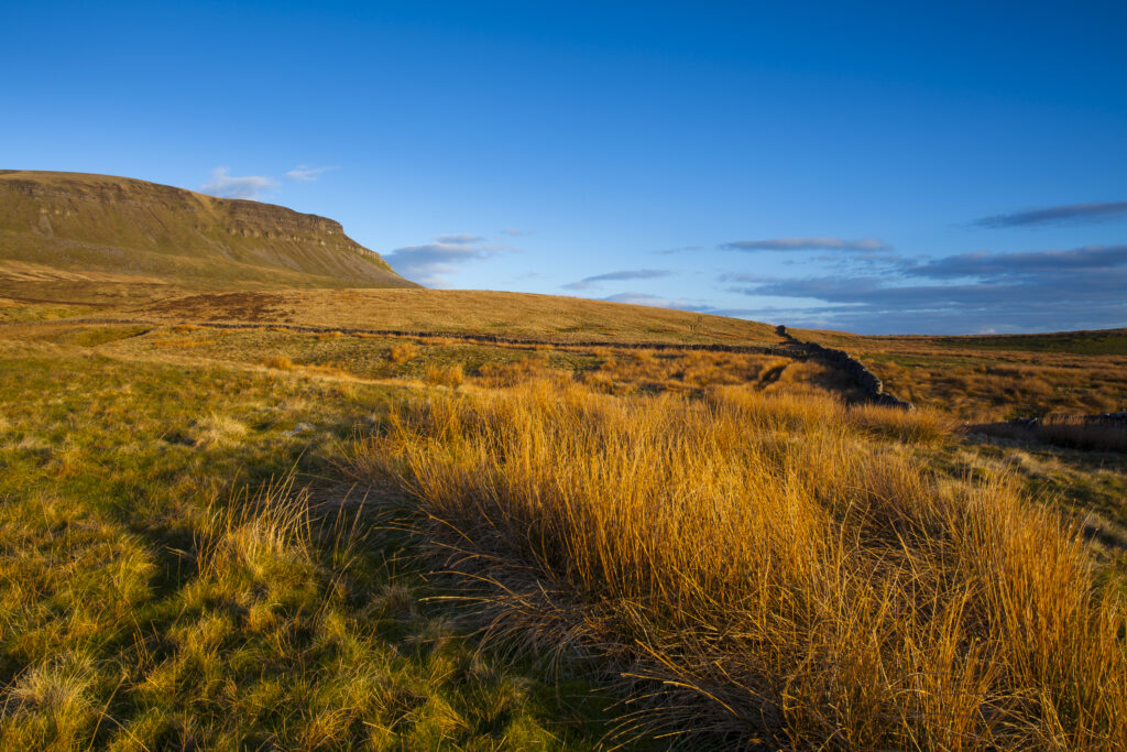
England, North Yorkshire, Yorkshire Dales National Park. Last light on Horton Moor in the Pennines, with the distinctive peak of Pen-y-ghent in the distance.
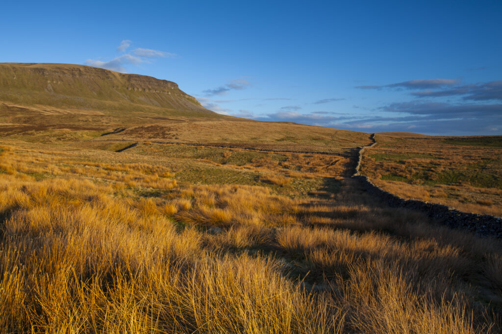
England, North Yorkshire, Yorkshire Dales National Park. Last light on Horton Moor in the Pennines, with the distinctive peak of Pen-y-ghent in the distance.
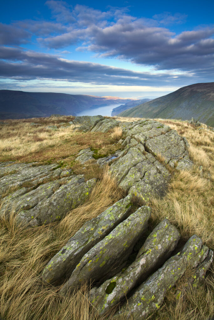
England, Cumbria, Lake District National Park. Looking towards Haweswater Reservoir and the Northern Pennines from Harter Fell, part of the Eastern Lake District Fells.
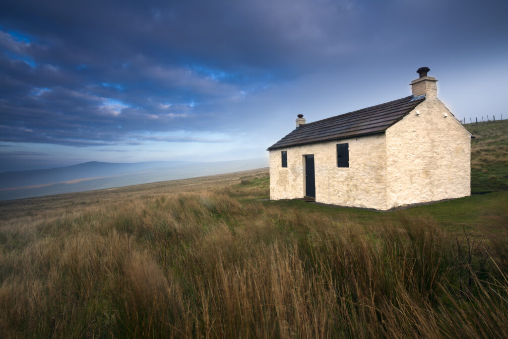
England, Cumbria, North Pennines. A small cottage located within the barren landscape of Hartside Pass near Alston within the North Pennines Area of Outstanding Natural Beauty (AONB)
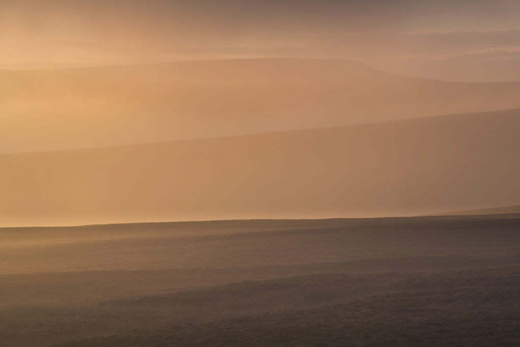
England, Cumbria, Alston Moor. Morning mist and fog covers the North Pennine hills near Alston Moor in Cumbria.
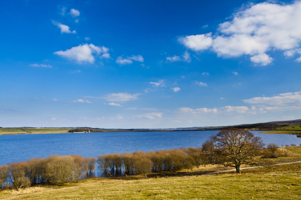
England, Northumberland / County Durham, Derwent Reservoir. Tree on the banks of the Derwent Reservoir, during the winter months.
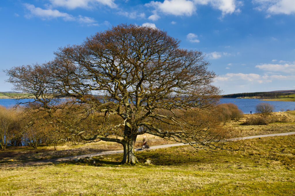
England, Northumberland / County Durham, Derwent Reservoir. Tree on the banks of the Derwent Reservoir, during the winter months.
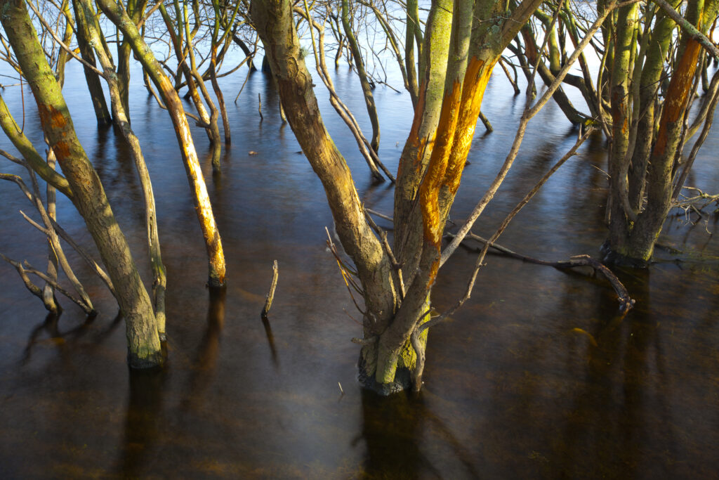
England, Northumberland / County Durham, Derwent Reservoir. Trees submerged in flood waters in the Derwent Reservoir.
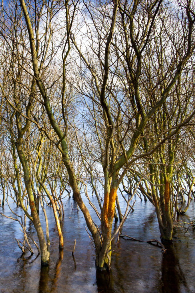
England, Northumberland / County Durham, Derwent Reservoir. Trees submerged in flood waters in the Derwent Reservoir.
Favourites
Photofeed
