
Your search for “wilderness” returned 738 images.
Clear Search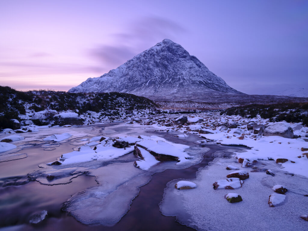
Scotland, Scottish Highlands, Glencoe. The River Etive over looked by the imposing peak of Buachaille Etive Mòr, on a mid winters day at dusk.
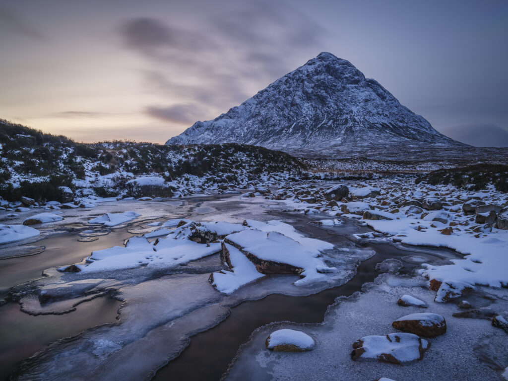
Scotland, Scottish Highlands, Glencoe. The River Etive over looked by the imposing peak of Buachaille Etive Mòr, on a mid winters day at dusk.
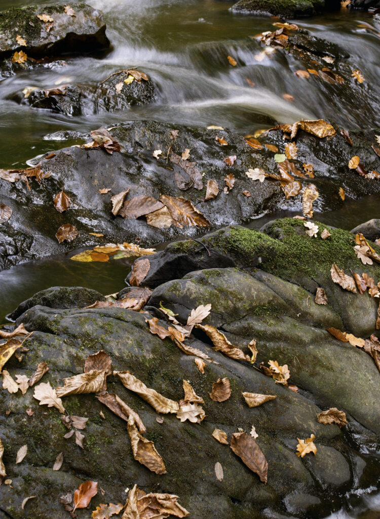
England, Northumberland, Bellingham. Autumn leaves on rocks downstream of Hareshaw Linn, a popular spot located within Northumberland National Park.
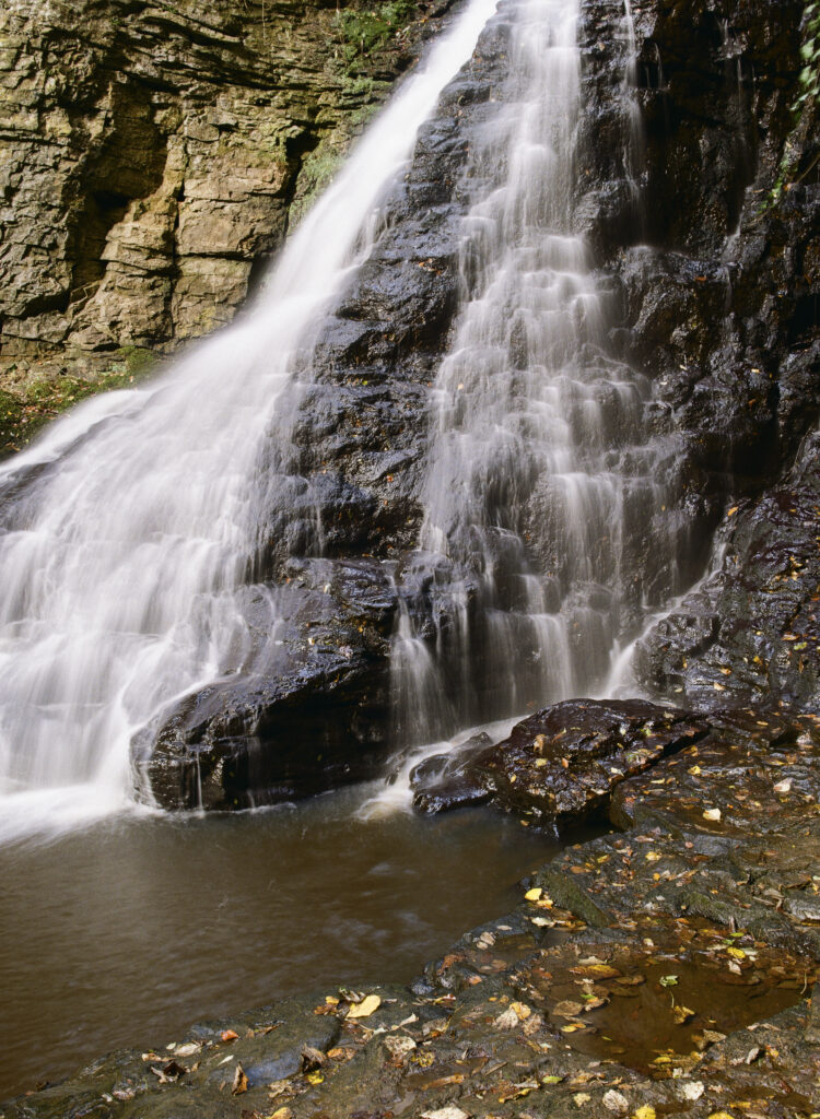
England, Northumberland, Hareshaw Linn. The flowing waterfall of Hareshaw Linn a popular spot located within Northumberland National Park.
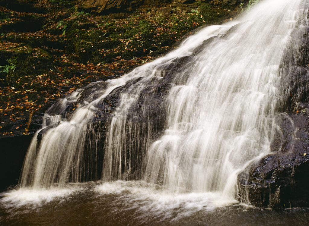
England, Northumberland, Hareshaw Linn. The flowing waterfall of Hareshaw Linn a popular spot located within Northumberland National Park.
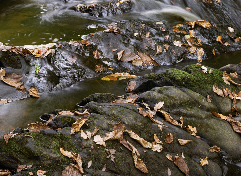
England, Northumberland, Bellingham. Autumn leaves on rocks downstream of Hareshaw Linn, a popular spot located within Northumberland National Park.
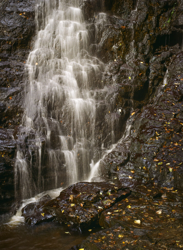
England, Northumberland, Hareshaw Linn. The flowing waterfall of Hareshaw Linn a popular spot located within Northumberland National Park.
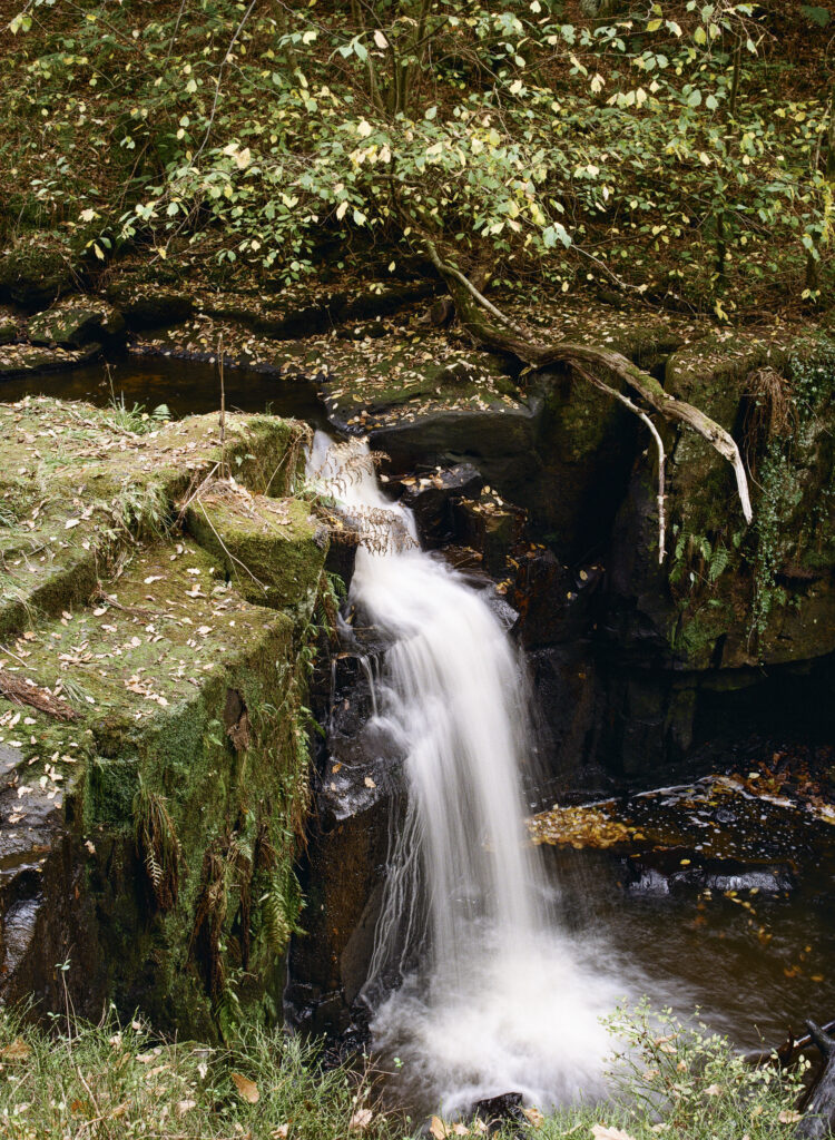
England, Northumberland, Bellingham. Small waterfall downstream of Hareshaw Linn, a popular spot located within Northumberland National Park.
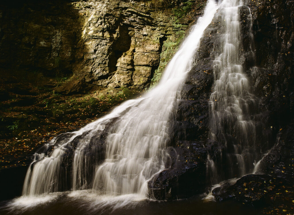
England, Northumberland, Hareshaw Linn. The flowing waterfall of Hareshaw Linn a popular spot located within Northumberland National Park.
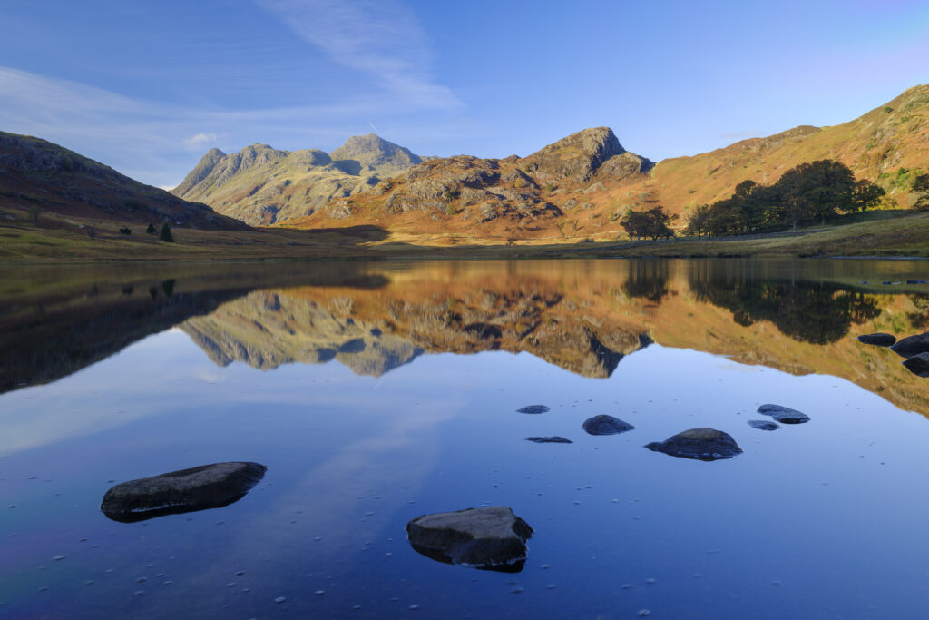
England, Cumbria, Lake District National Park. The Langdale Mountains reflected on the calm waters of Blea Tarn.
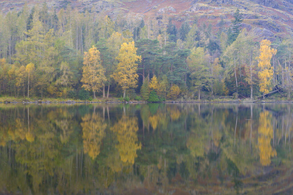
England, Cumbria, Lake District National Park. Autumnal woodland reflected on the calm waters of Blea Tarn.
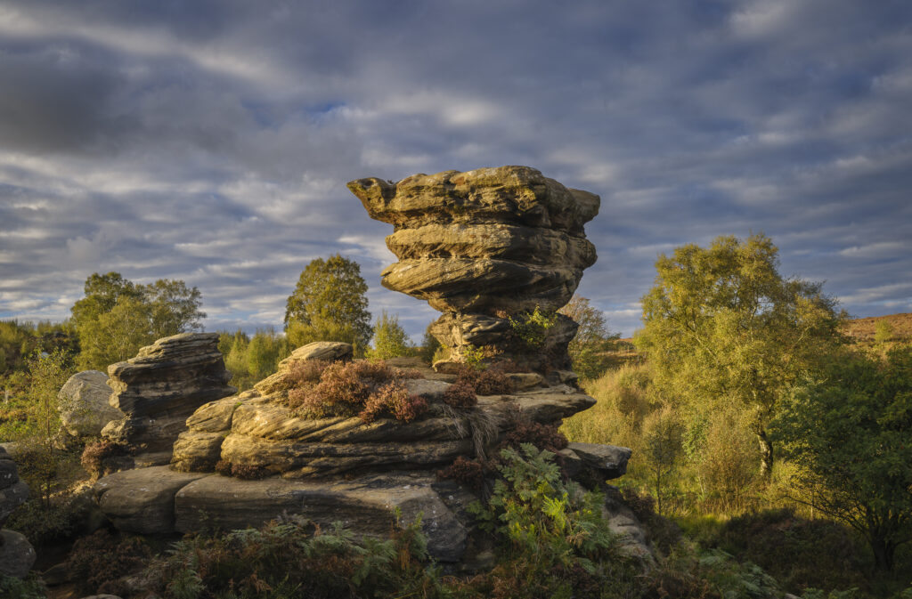
England, North Yorkshire, Brimham Rocks. Unique Rock formations of Brimham Rocks at Brimham in Nidderdale, found scattered over the wild expanse of Brimham Moor.
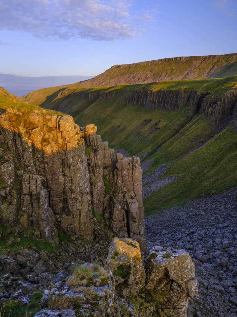
England, Cumbria, High Cup Nick. High Cup Gill — also known as High Cup Nick — is a strikingly symmetrical U-shaped valley carved deep into the Pennine escarpment near Appleby-in-Westmorland, Cumbria, within the North Pennines Area of Outstanding Natural Beauty.
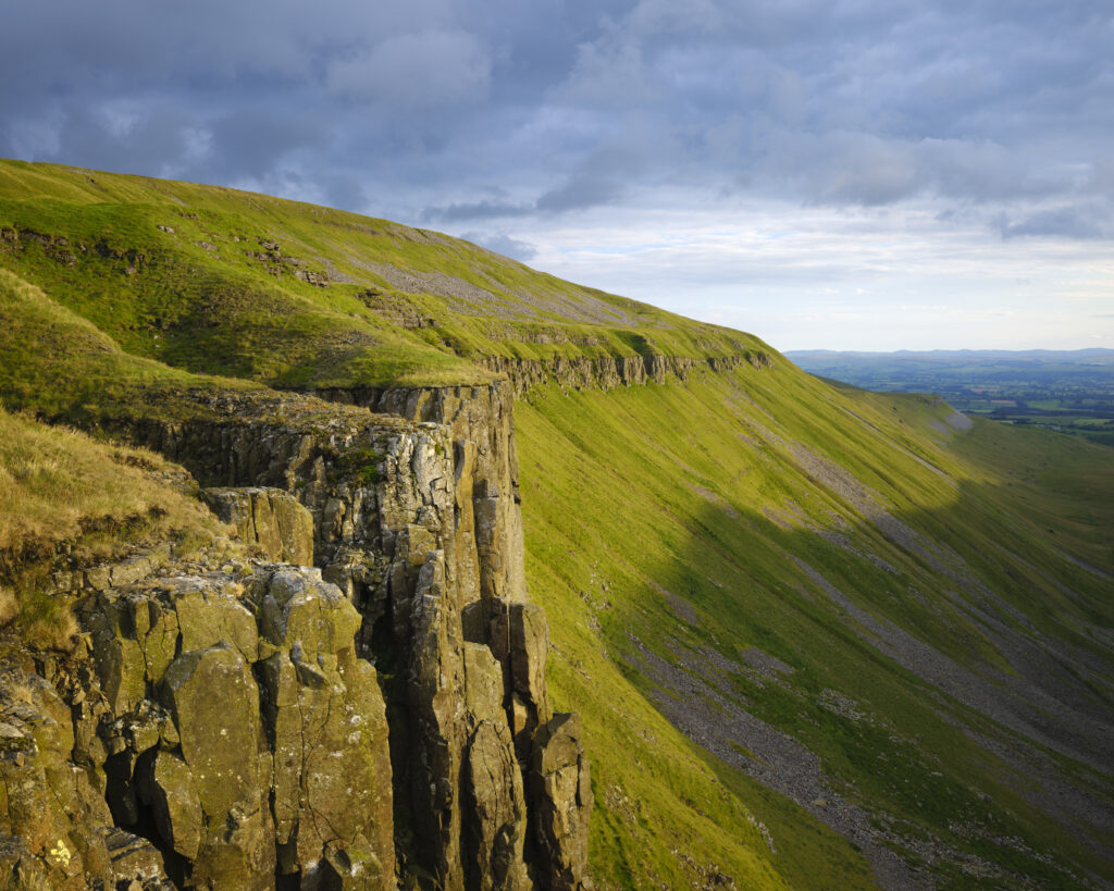
England, Cumbria, High Cup Nick. High Cup Gill — also known as High Cup Nick — is a strikingly symmetrical U-shaped valley carved deep into the Pennine escarpment near Appleby-in-Westmorland, Cumbria, within the North Pennines Area of Outstanding Natural Beauty.
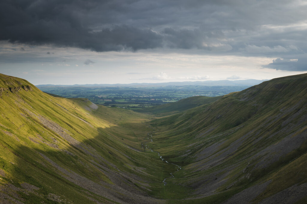
England, Cumbria, High Cup Nick. High Cup Gill — also known as High Cup Nick — is a strikingly symmetrical U-shaped valley carved deep into the Pennine escarpment near Appleby-in-Westmorland, Cumbria, within the North Pennines Area of Outstanding Natural Beauty.
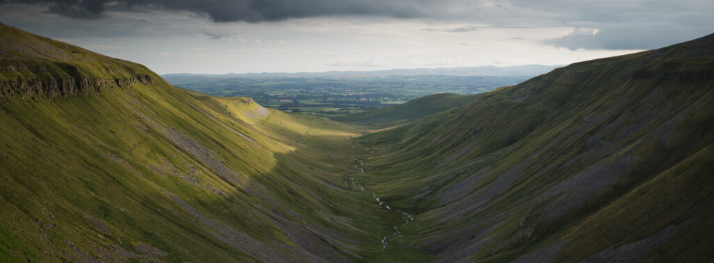
England, Cumbria, High Cup Nick. High Cup Gill — also known as High Cup Nick — is a strikingly symmetrical U-shaped valley carved deep into the Pennine escarpment near Appleby-in-Westmorland, Cumbria, within the North Pennines Area of Outstanding Natural Beauty.
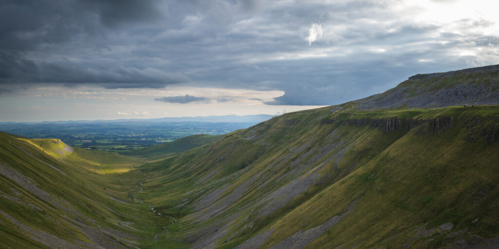
England, Cumbria, High Cup Nick. High Cup Gill — also known as High Cup Nick — is a strikingly symmetrical U-shaped valley carved deep into the Pennine escarpment near Appleby-in-Westmorland, Cumbria, within the North Pennines Area of Outstanding Natural Beauty.
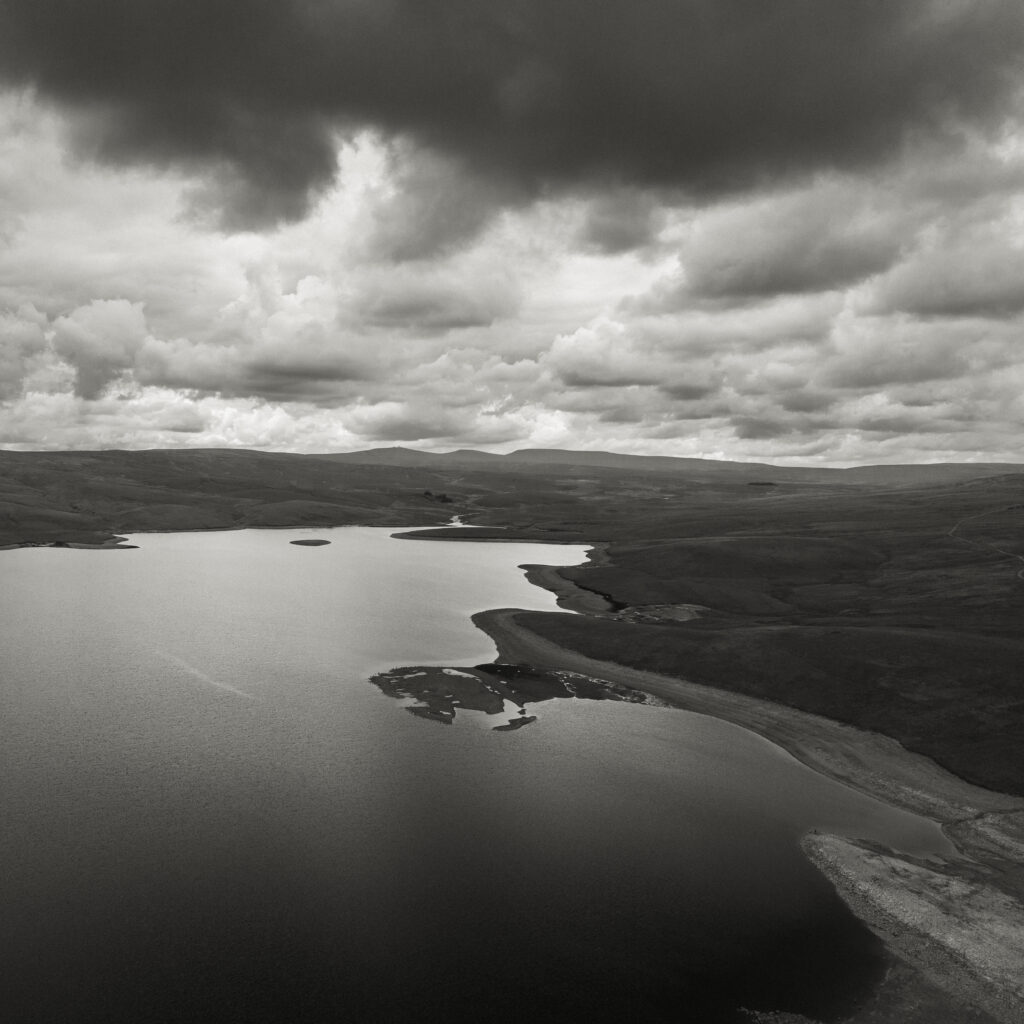
England, County Durham, Cow Green Reservoir. Aerial photo of Cow Green Reservoir, built to supply water to the industries of Teesside.
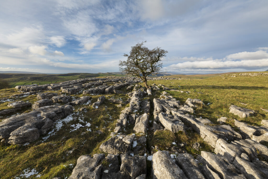
England, North Yorkshire, Yorkshire Dales National Park. Limestone pavement and a single tree at Winskill Stones Nature Reserve in the Yorkshire Dales.
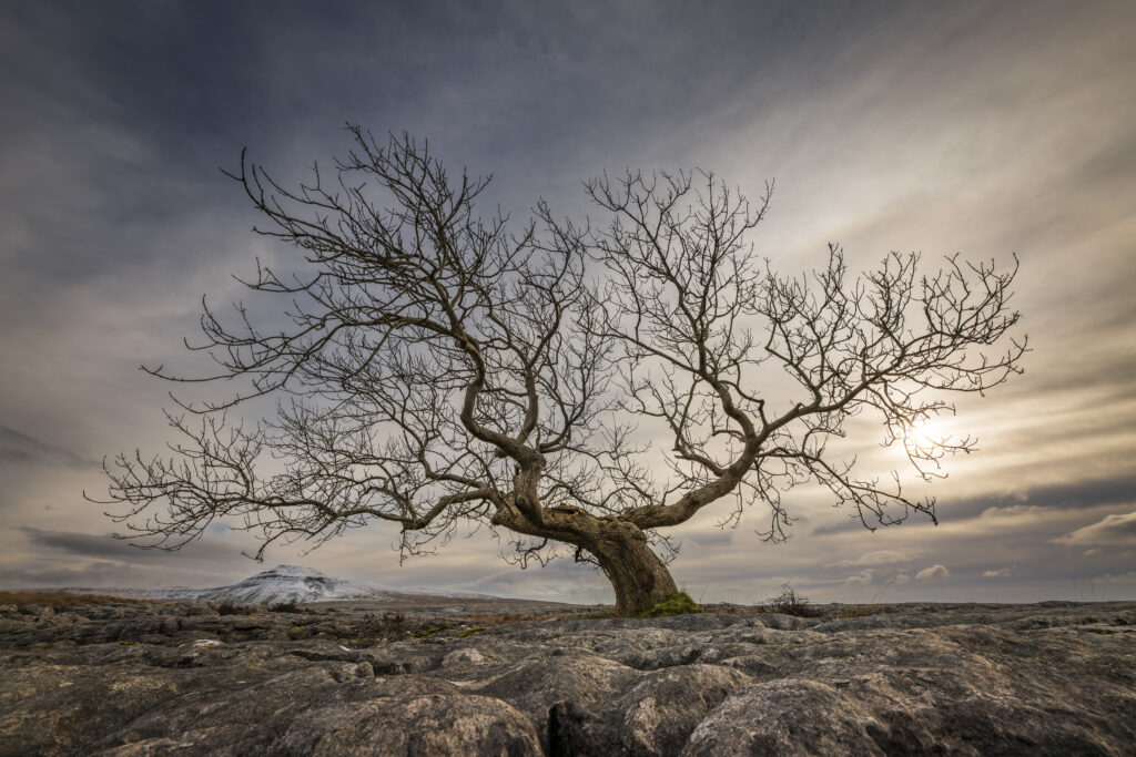
England, North Yorkshire, Yorkshire Dales National Park. A single tree in the limestone pavement known as Twisleton Scars with Ingleborough in the distance.
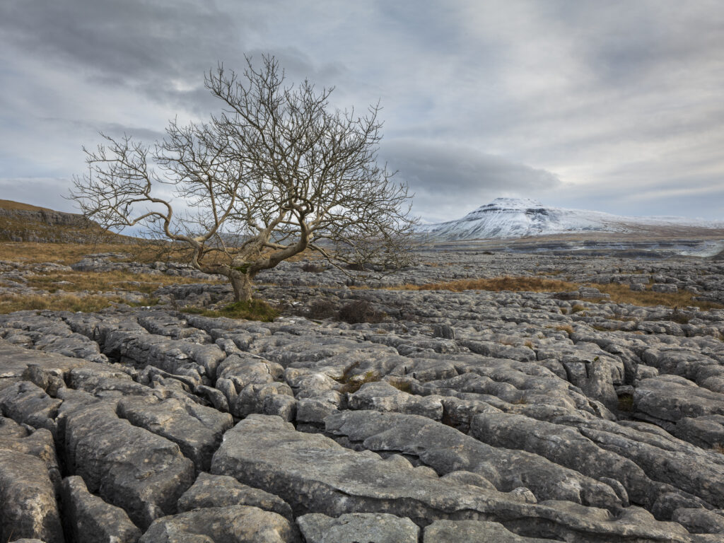
England, North Yorkshire, Yorkshire Dales National Park. A single tree in the limestone pavement known as Twisleton Scars with Ingleborough in the distance.
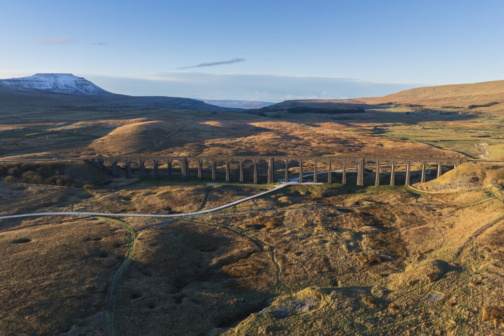
England, North Yorkshire, Yorkshire Dales National Park. Ribblehead Viaduct, a railway viaduct crossing the valley of the River Ribble at Ribblehead.
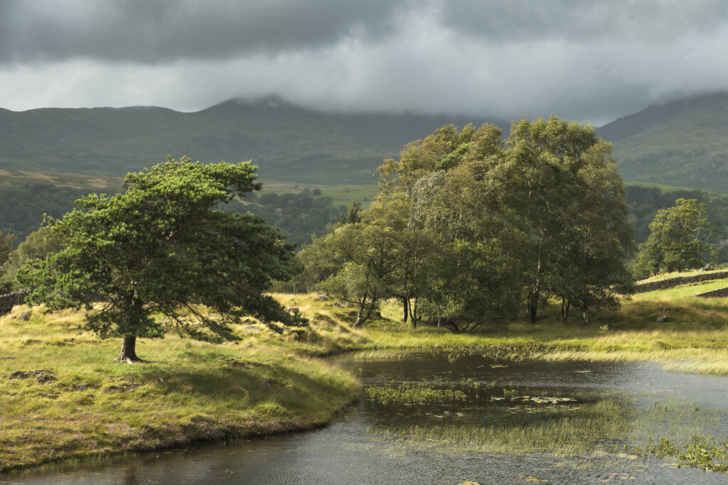
England, Cumbria, Lake District National Park. A windy afternoon at Kelly Hall Tarn near Coniston.
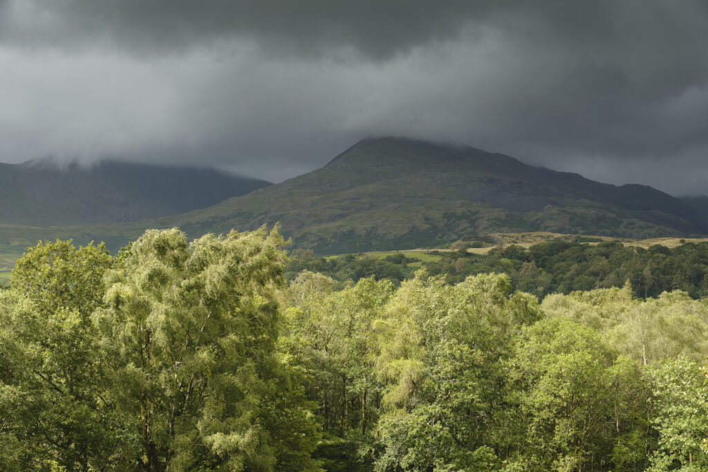
England, Cumbria, Lake District National Park. Stormy conditions looking towards the Coniston Fells.
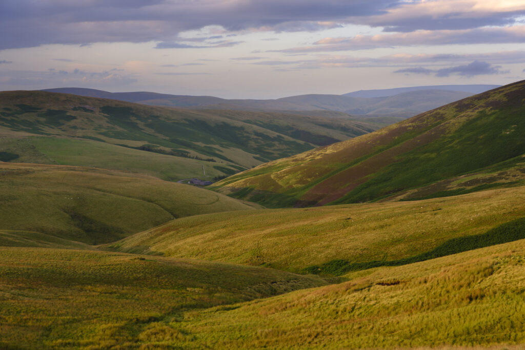
England, Northumberland, Northumberland National Park. Evening light illuminates the rolling hills of Upper Coquetdale in Northumberland National Park.
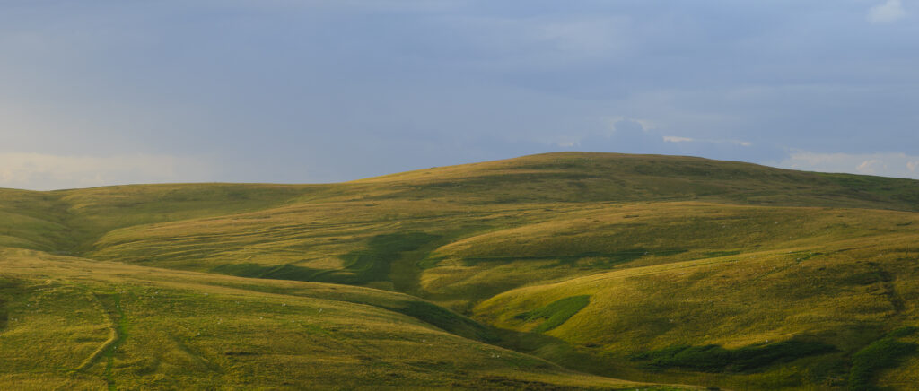
England, Northumberland, Northumberland National Park. Evening light illuminates the rolling hills of Upper Coquetdale in Northumberland National Park.
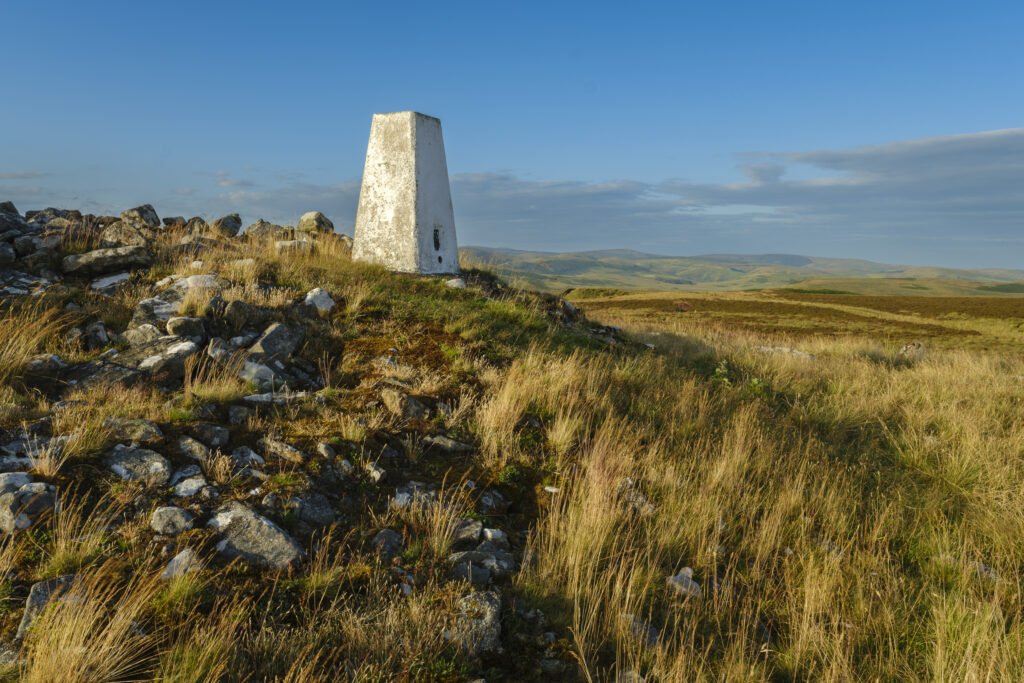
England, Northumberland, Northumberland National Park. Ridlees Cairn located in the Otterburn Ranges towards the western end of Upper Coquetdale.
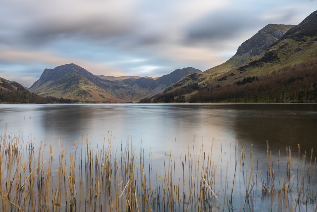
England, Cumbria, Lake District National Park. Buttermere, with Fleetwith Pike in the distance.
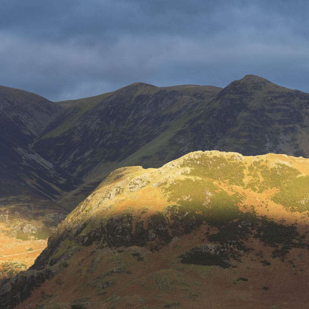
England, Cumbria, Lake District National Park. Breaking light on the mountains near Crummock Water and Buttermere.
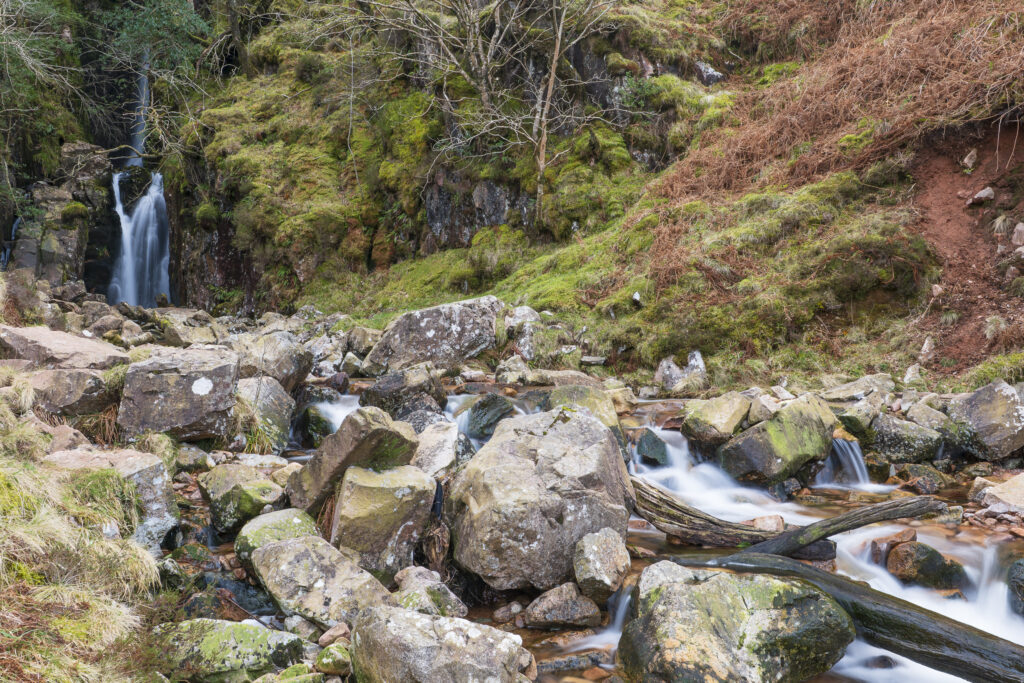
England, Cumbria, Lake District National Park. Scale Force near the village of Buttermere within the Lake District National Park.
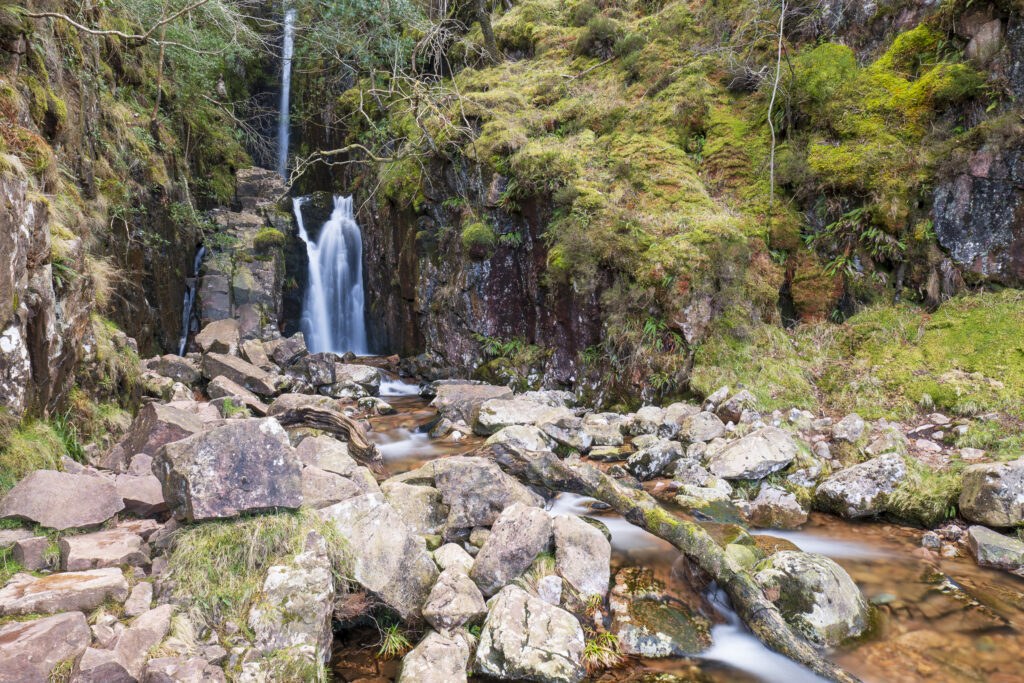
England, Cumbria, Lake District National Park. Scale Force near the village of Buttermere within the Lake District National Park.
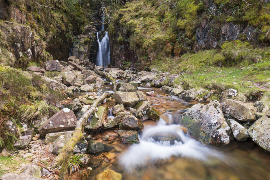
England, Cumbria, Lake District National Park. Scale Force near the village of Buttermere within the Lake District National Park.
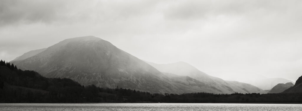
England, Cumbria, Lake District National Park. Rain clouds engulf the mountain peaks surrounding Loweswater.
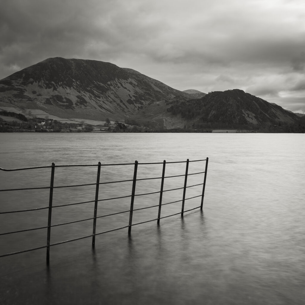
England, Cumbria, Lake District National Park. Ennerdale Water, a remote lake located in the North-West Lake District.
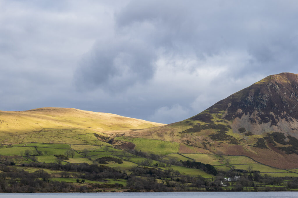
England, Cumbria, Lake District National Park. Mountains surrounding Ennerdale Water, a remote lake located in the North-West Lake District.
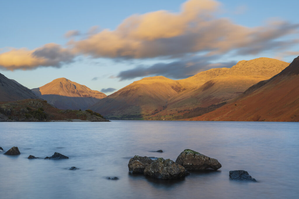
England, Cumbria, Lake District National Park. After light illuminates the mountains surrouding Wasdale, viewed from Wastwater – The deepest lake in England.
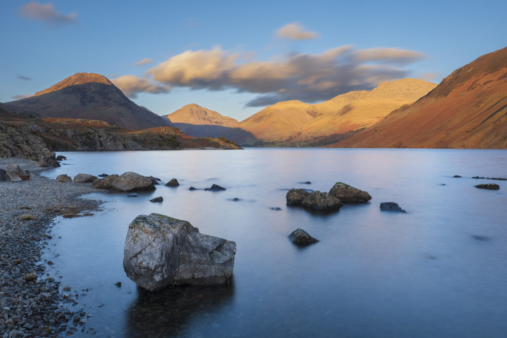
England, Cumbria, Lake District National Park. After light illuminates Great Gable and the other mountains surrouding Wasdale, viewed from Wastwater – The deepest lake in England.
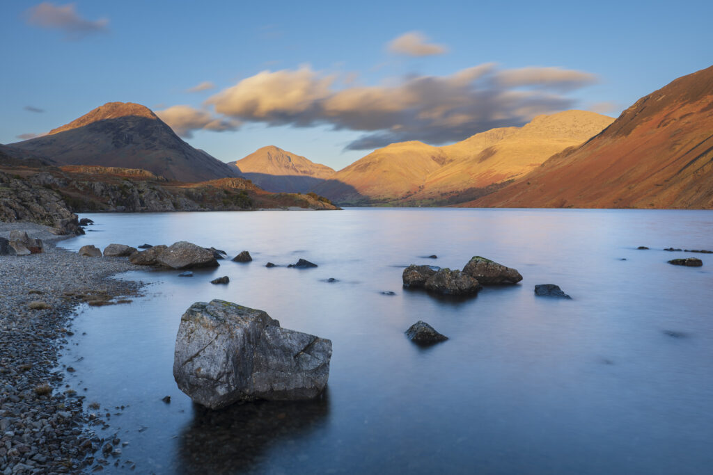
England, Cumbria, Lake District National Park. After light illuminates Great Gable and the other mountains surrouding Wasdale, viewed from Wastwater – The deepest lake in England.
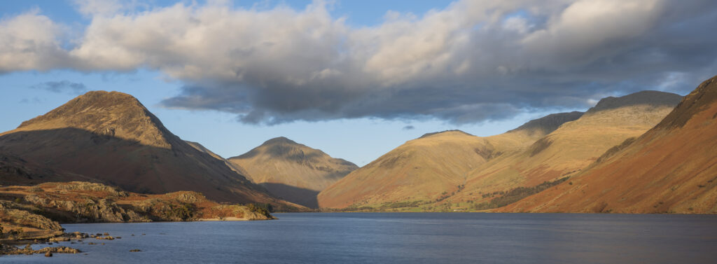
England, Cumbria, Lake District National Park. After light illuminates Great Gable and the other mountains surrouding Wasdale, viewed from Wastwater – The deepest lake in England.
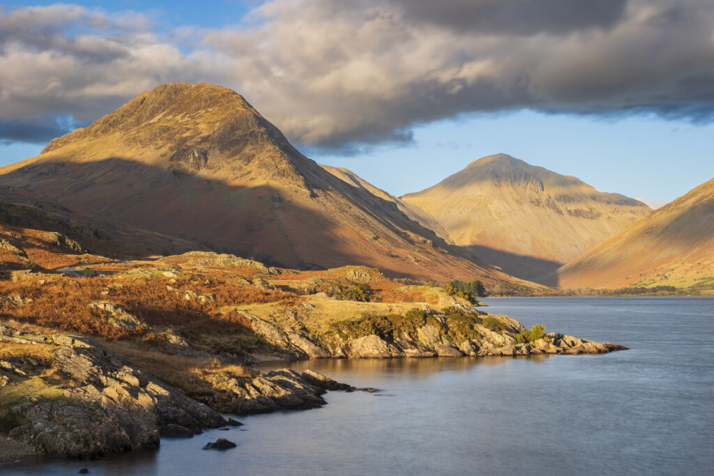
England, Cumbria, Lake District National Park. Evening light illuminates Great Gable and the other mountains surrouding Wasdale, viewed from Wastwater – The deepest lake in England.
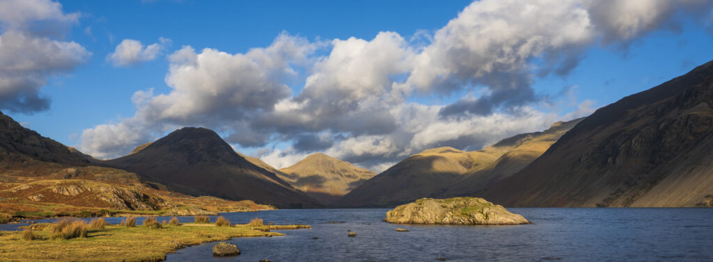
England, Cumbria, Lake District National Park. After light illuminates Great Gable and the other mountains surrouding Wasdale, viewed from Wastwater – The deepest lake in England.
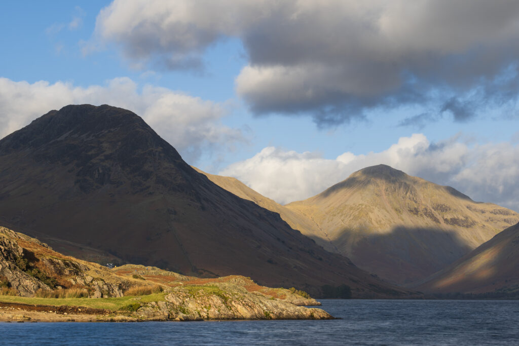
England, Cumbria, Lake District National Park. After light illuminates Great Gable and the other mountains surrouding Wasdale, viewed from Wastwater – The deepest lake in England.
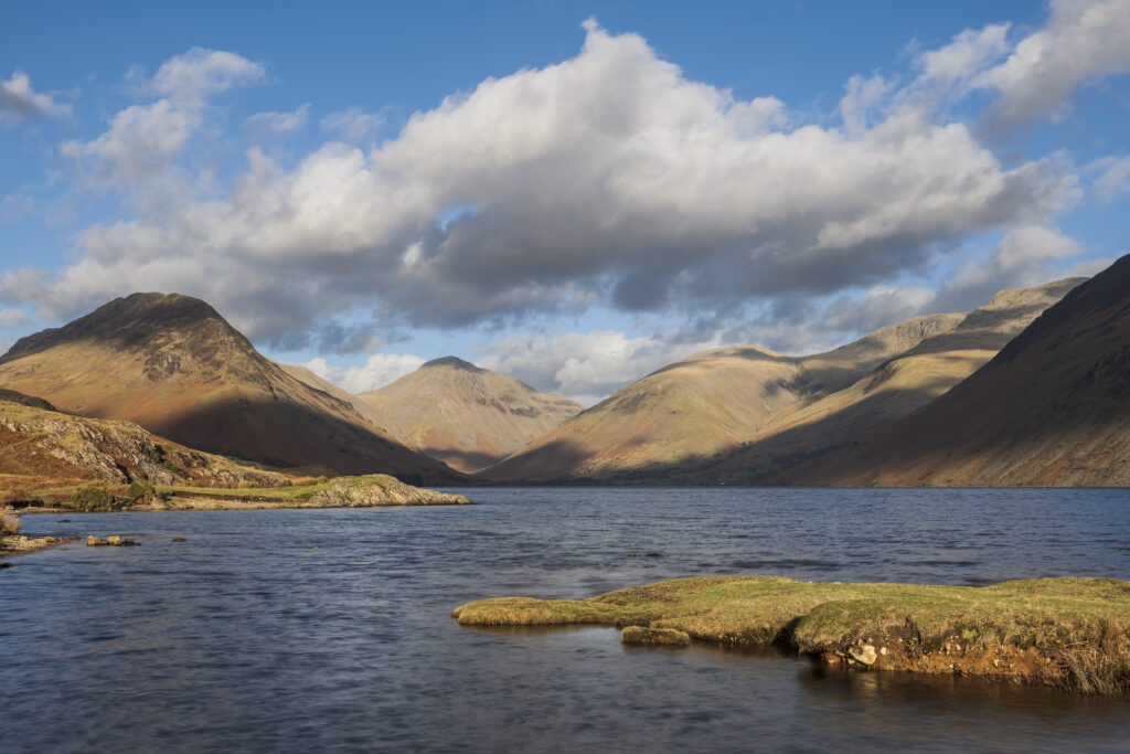
England, Cumbria, Lake District National Park. After light illuminates Great Gable and the other mountains surrouding Wasdale, viewed from Wastwater – The deepest lake in England.
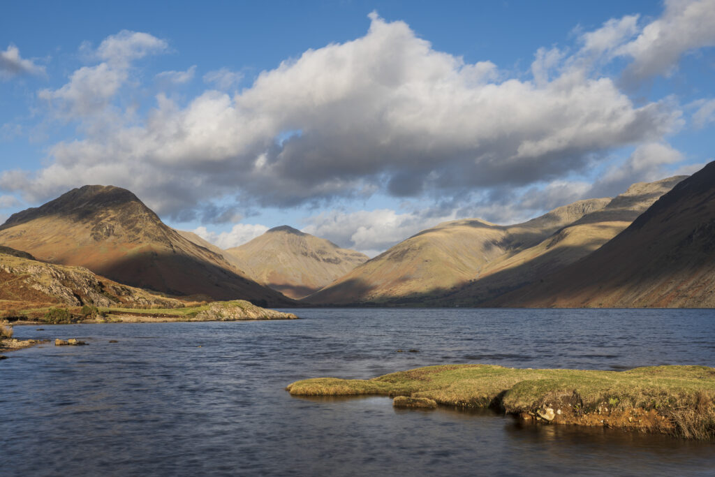
England, Cumbria, Lake District National Park. After light illuminates Great Gable and the other mountains surrouding Wasdale, viewed from Wastwater – The deepest lake in England.
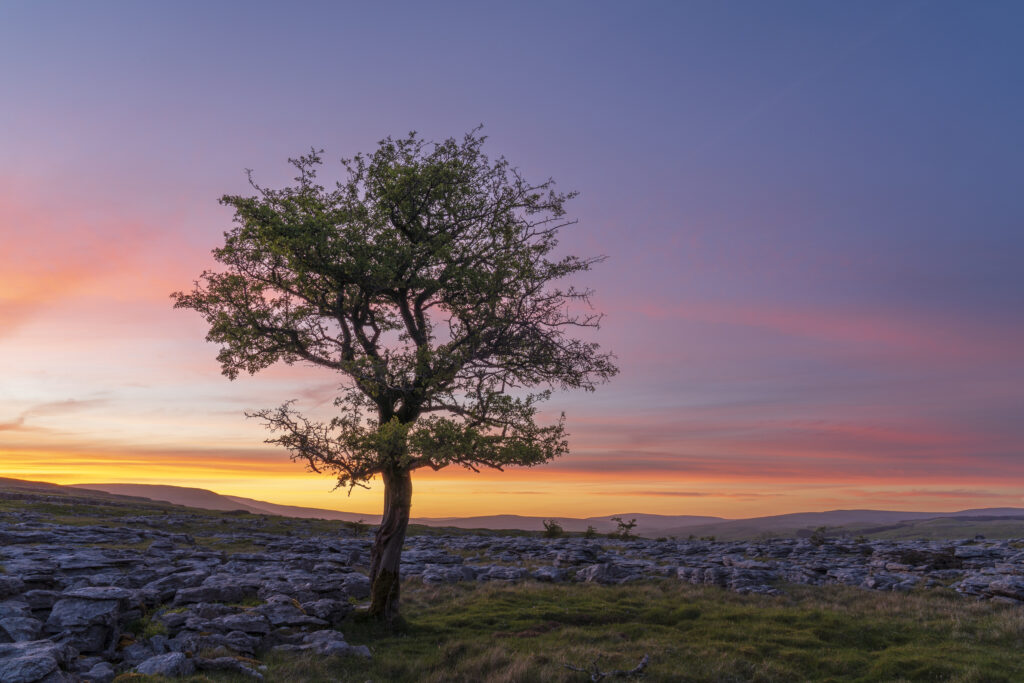
England, North Yorkshire, Yorkshire Dales National Park. Lone tree and the limestone pavement of Moughton Scars viewed at sunset.
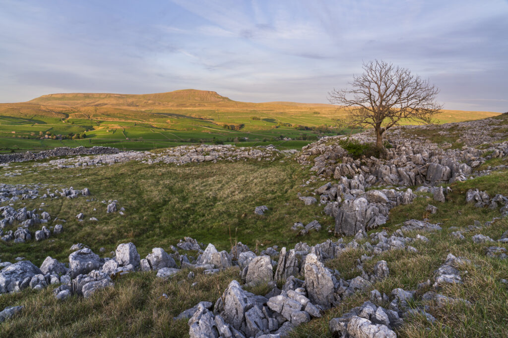
England, North Yorkshire, Yorkshire Dales National Park. Moughton Scars, looking towards the peak of Pen-y-ghent.
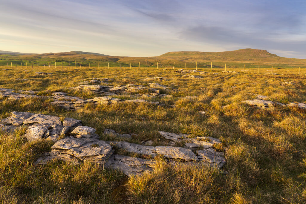
England, North Yorkshire, Yorkshire Dales National Park. Moughton Scars, looking towards the peak of Pen-y-ghent.
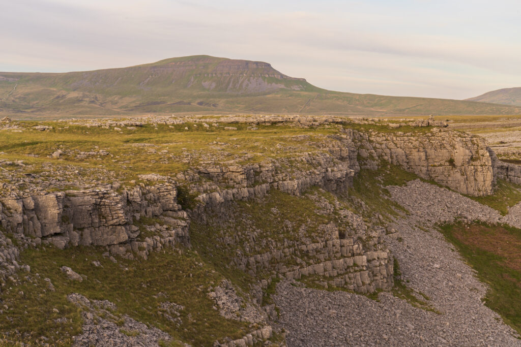
England, North Yorkshire, Yorkshire Dales National Park. Moughton Scars, looking towards the peak of Pen-y-ghent.
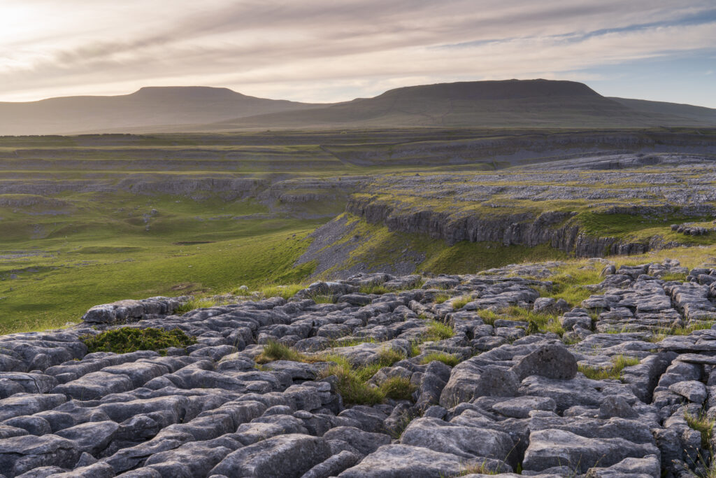
England, North Yorkshire, Yorkshire Dales National Park. Looking towards the peak of Ingleborough and the Moughton Scars, a natural karst landform (limestone pavement) which is common in the Yorkshire Dales.
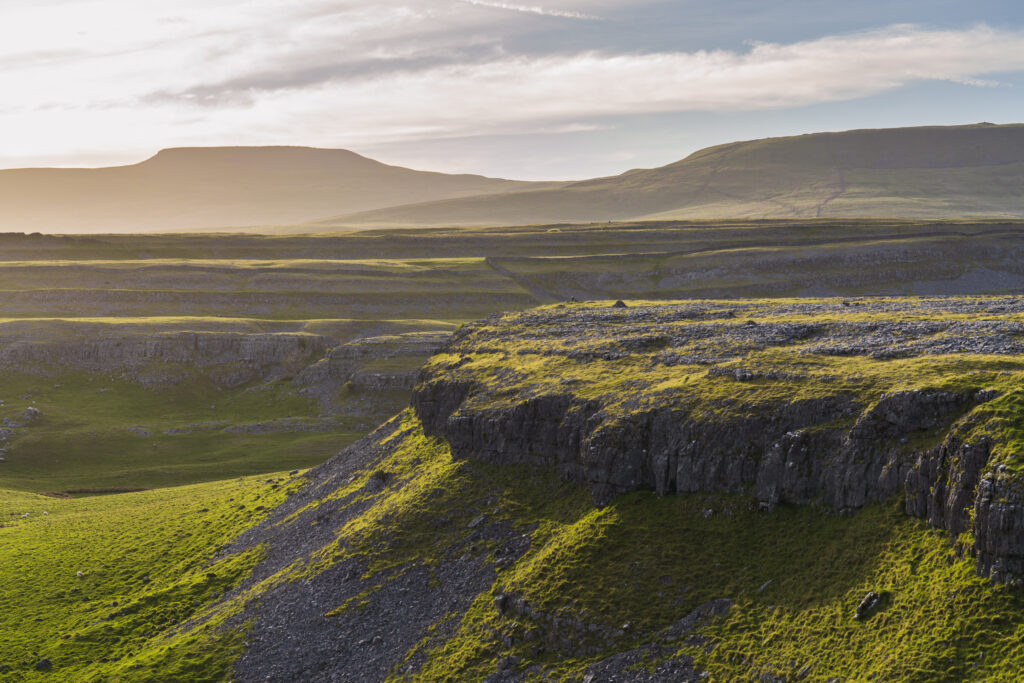
England, North Yorkshire, Yorkshire Dales National Park. Looking towards the peak of Ingleborough and the Moughton Scars, a natural karst landform (limestone pavement) which is common in the Yorkshire Dales.
Favourites
Photofeed
