
Your search for “countryside” returned 252 images.
Clear Search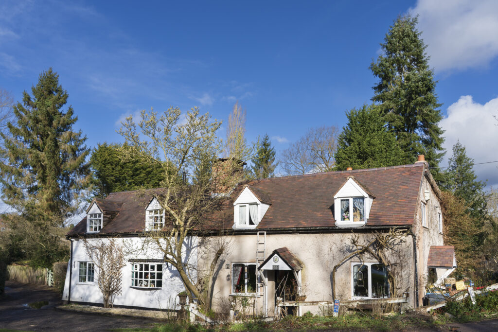
England, West Midlands, Kinver. Stone cottage and trees on the Staffordshire and Worcestershire Canal near Kinver
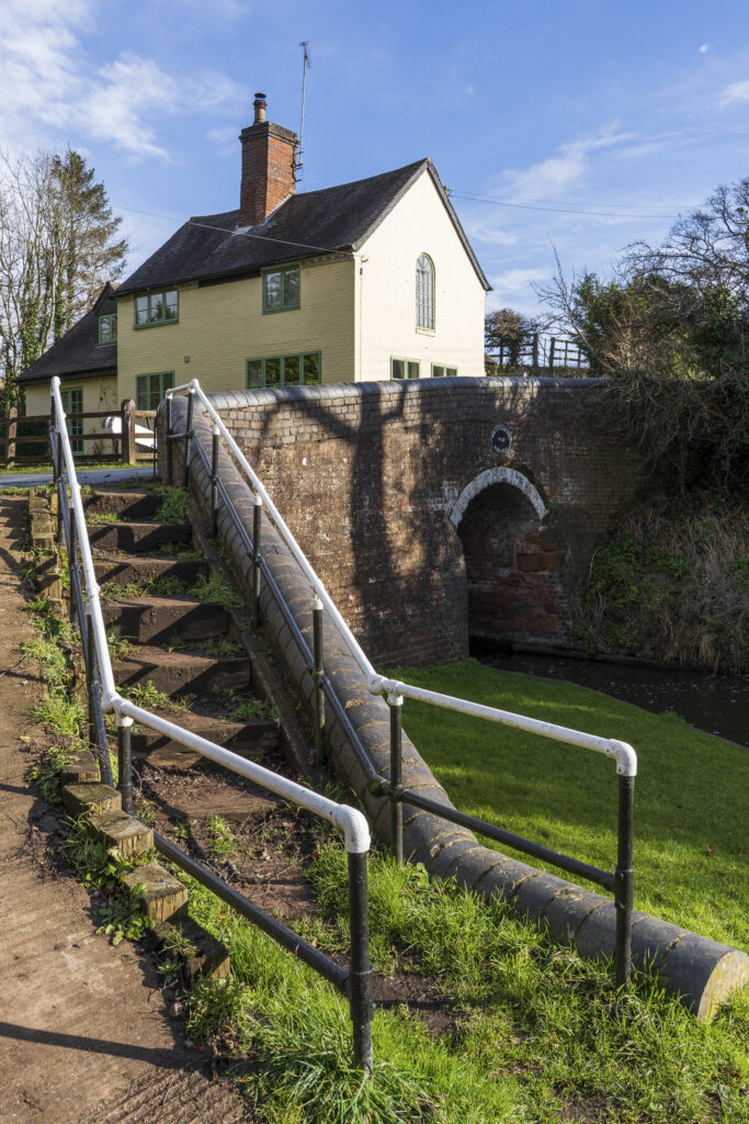
England, West Midlands, Kinver. Stone house and bridge crossing the Staffordshire and Worcestershire Canal near Kinver

England, West Midlands, Kinver. Riverbank trees reflected on the Staffordshire and Worcestershire Canal near Kinver
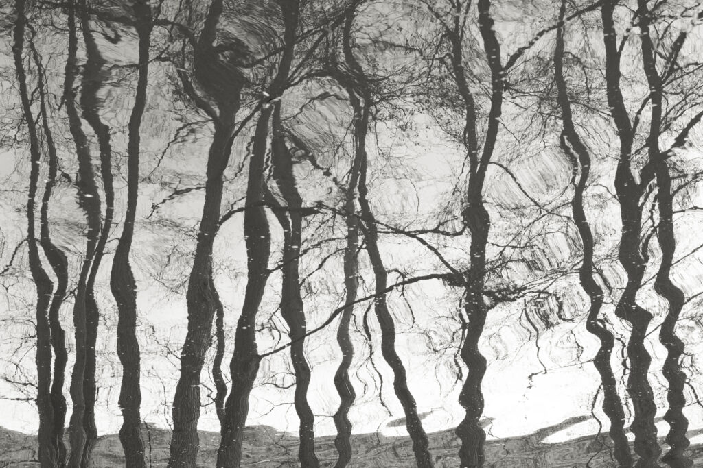
England, West Midlands, Kinver. Riverbank trees reflected on the Staffordshire and Worcestershire Canal near Kinver

England, West Midlands, Kinver. Riverbank trees reflected on the Staffordshire and Worcestershire Canal near Kinver
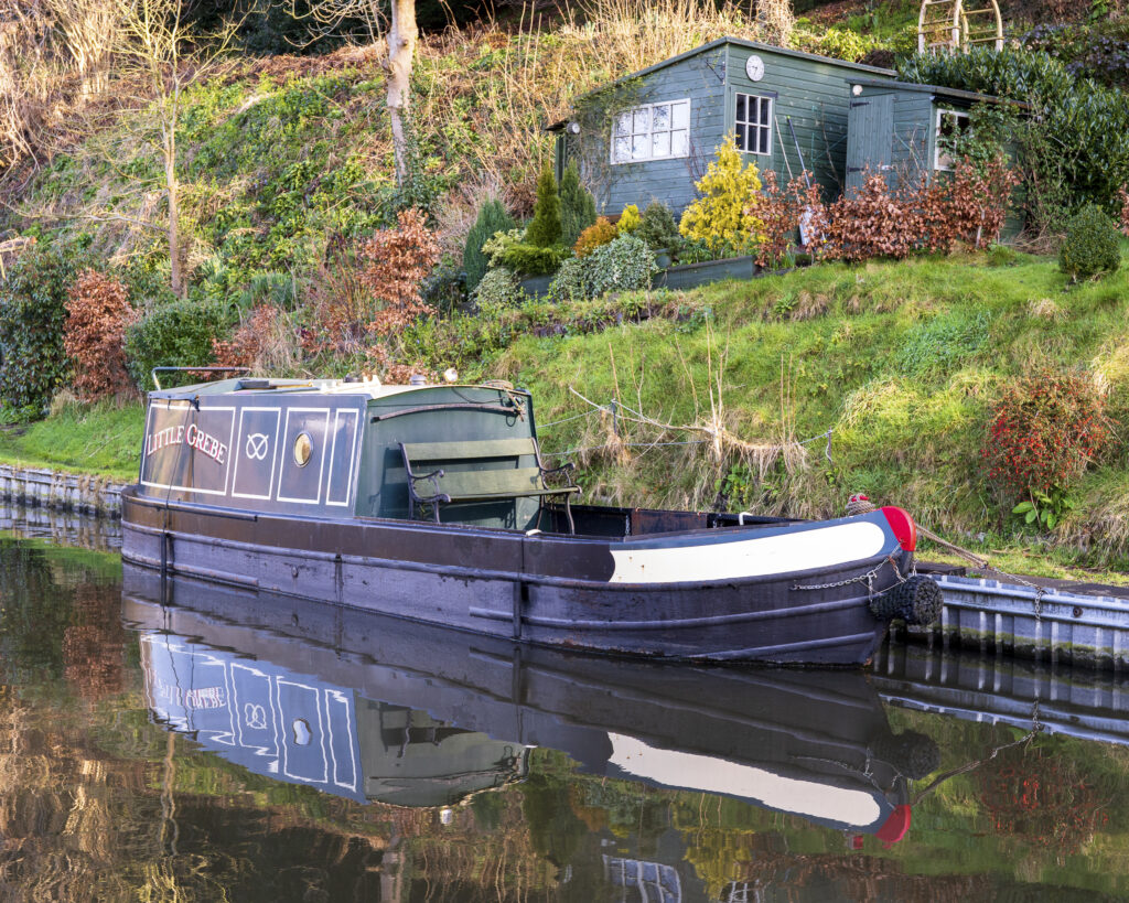
England, West Midlands, Kinver. Narrowboat moored on the Staffordshire and Worcestershire Canal near Kinver
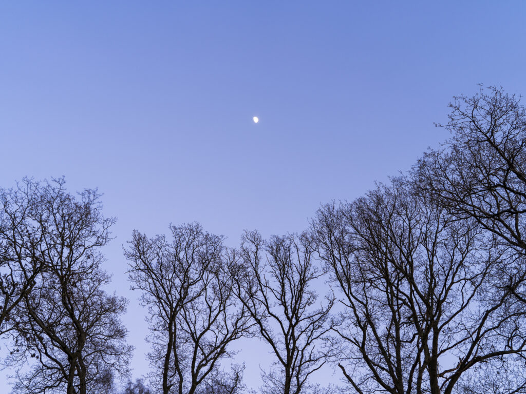
England, West Midlands, Kinver Edge. Pocket of woodland at Kinver Edge, a popular walking location near Stourbridge.
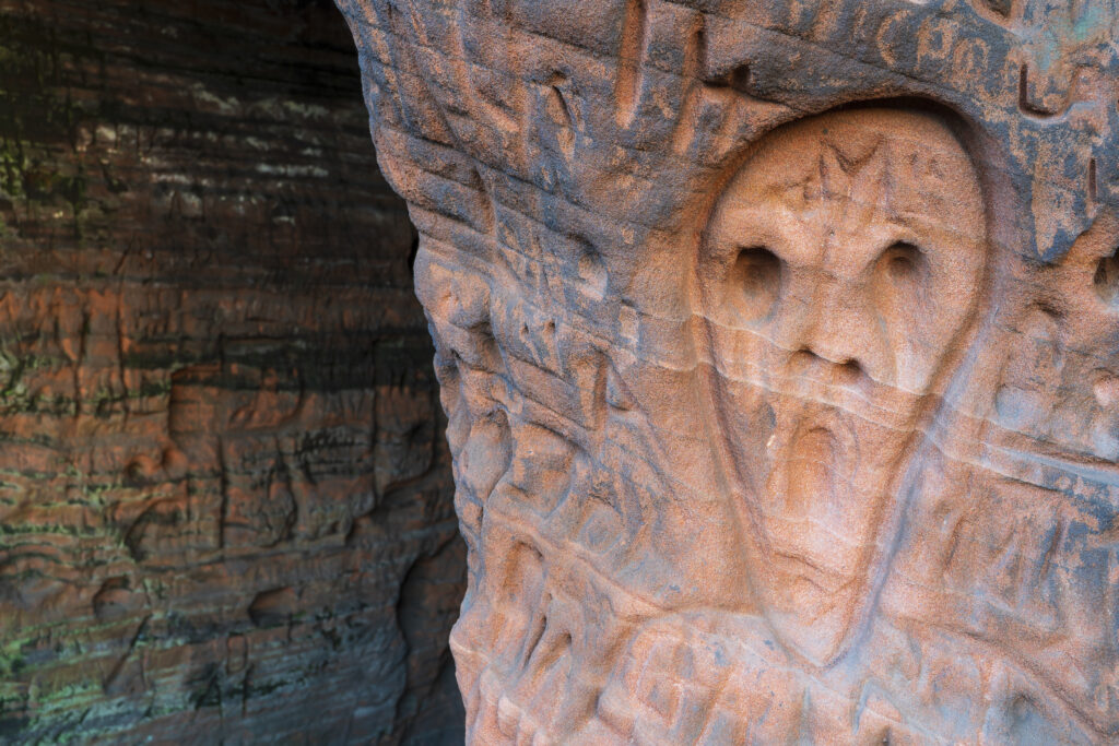
England, West Midlands, Kinver Edge. Carved graffiti in the sandstone walls of the caves in Nannys Rock.
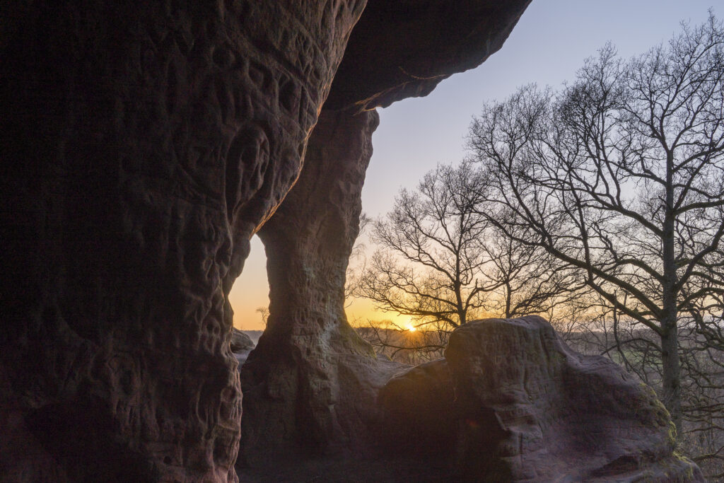
England, West Midlands, Kinver Edge. Carved graffiti in the sandstone walls of the caves in Nannys Rock.
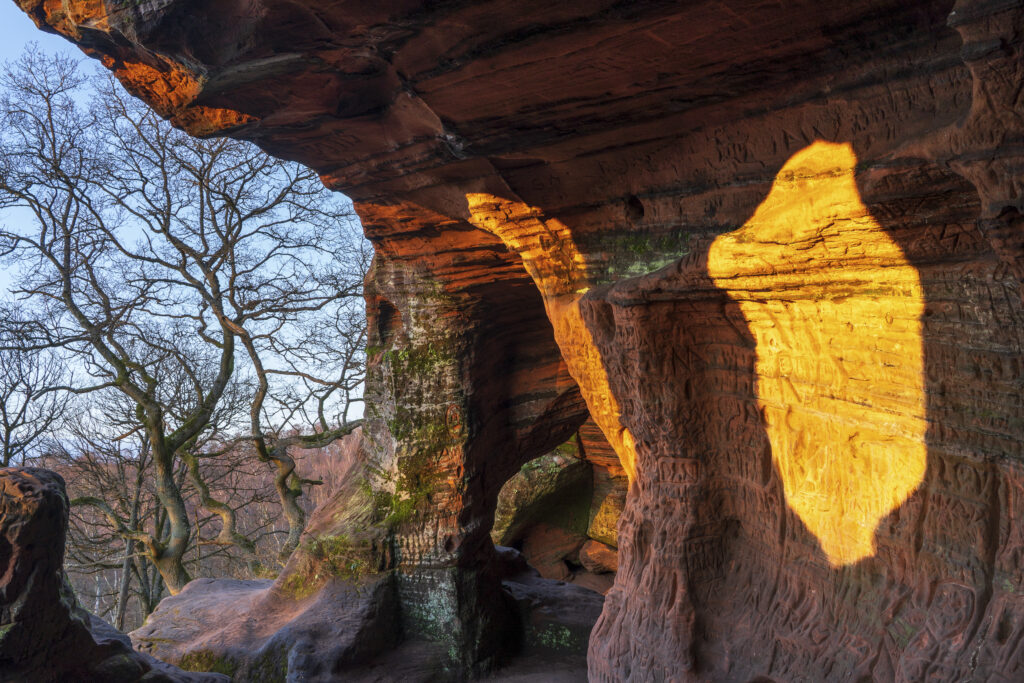
England, West Midlands, Kinver Edge. Carved graffiti in the sandstone walls of the caves in Nannys Rock.
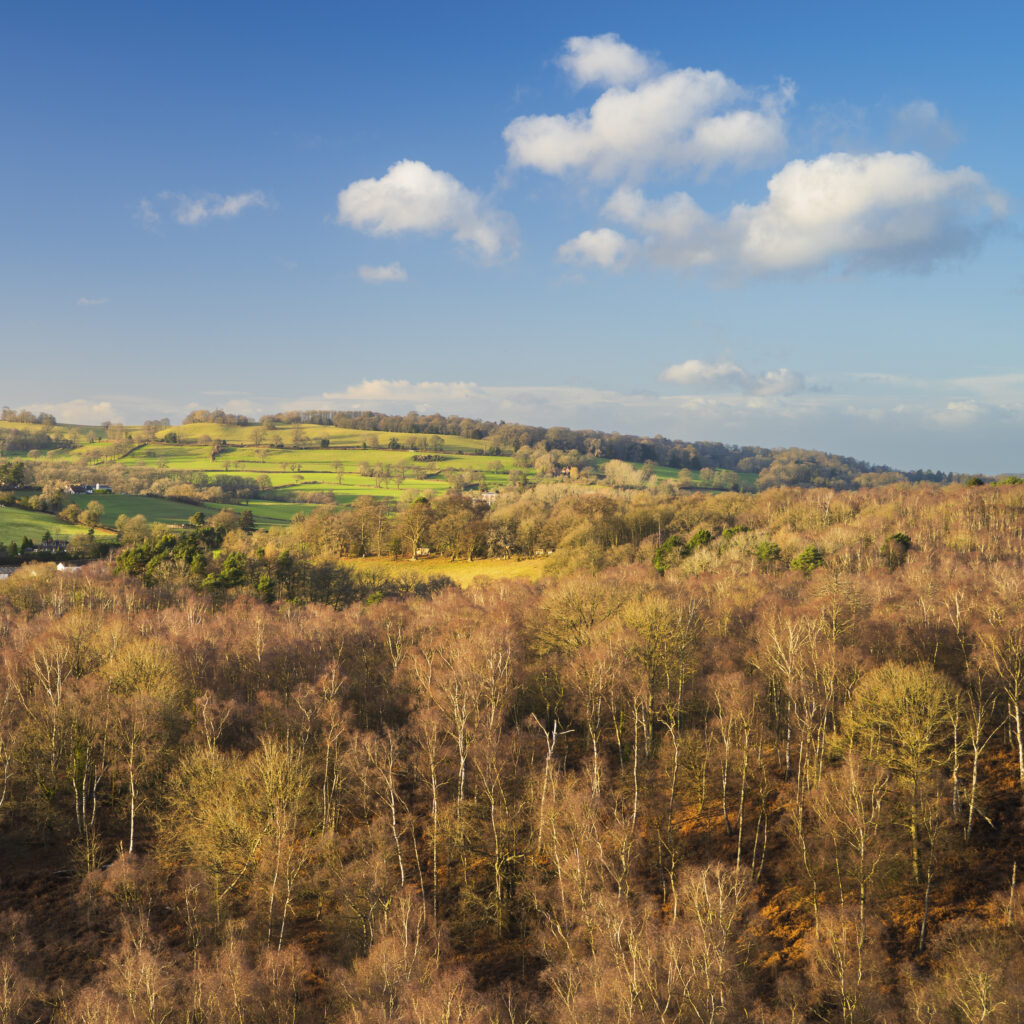
England, West Midlands, Kinver Edge. View from the top of Nannys Rock – a popular viewpoint along Kinver Edge.
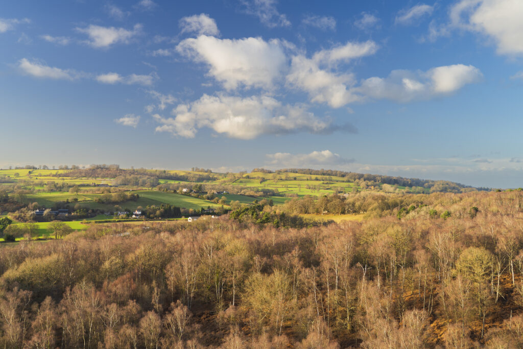
England, West Midlands, Kinver Edge. View from the top of Nannys Rock – a popular viewpoint along Kinver Edge.
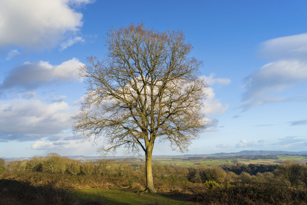
England, West Midlands, Kinver. Trees on the heathland of Kiver Edge – once the location of an Iron Age Hillfort
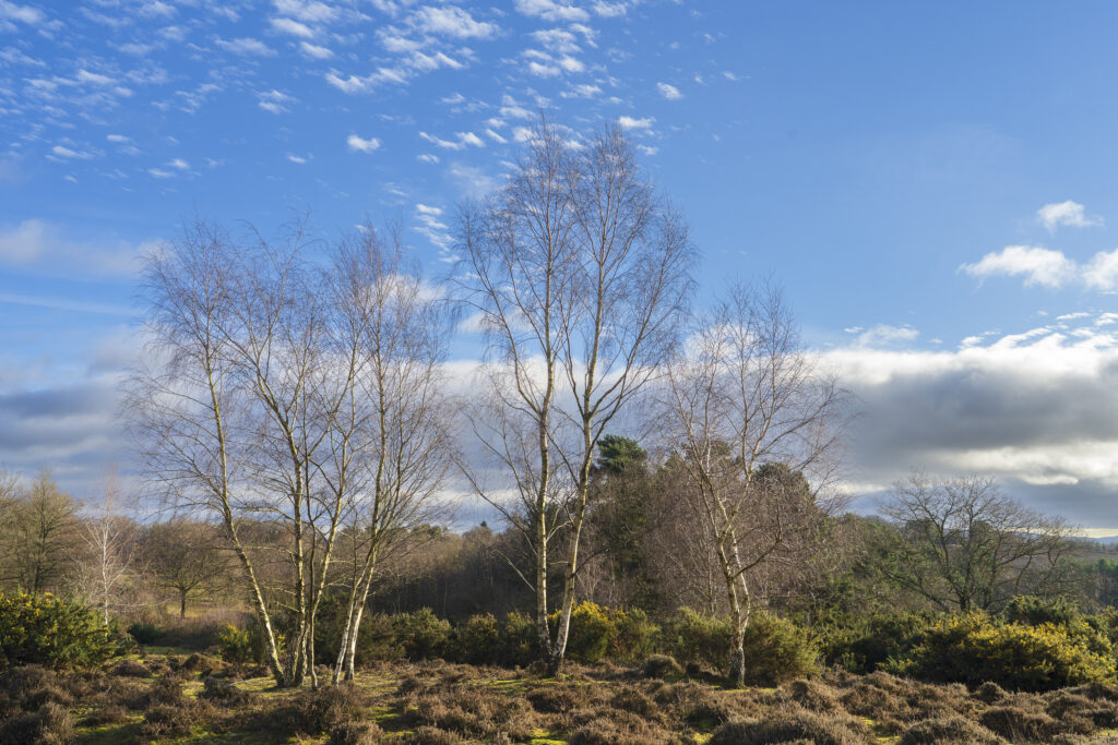
England, West Midlands, Kinver. Trees on the heathland of Kiver Edge – once the location of an Iron Age Hillfort
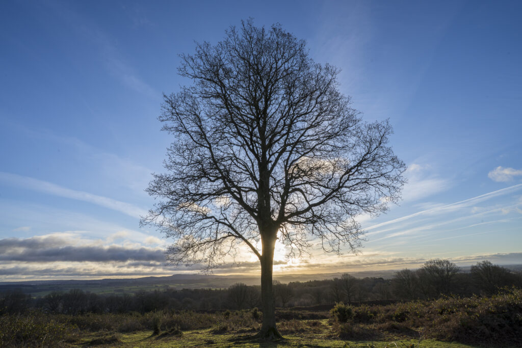
England, West Midlands, Kinver. Tree at sunrise on the heathland of Kiver Edge – once the location of an Iron Age Hillfort
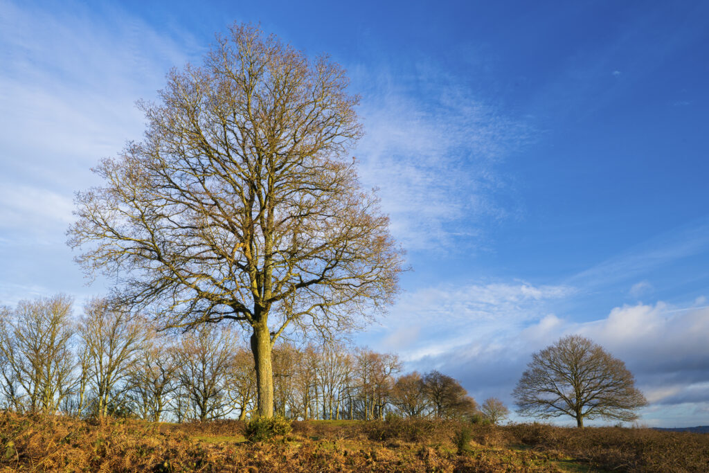
England, West Midlands, Kinver. Trees on the heathland of Kiver Edge – once the location of an Iron Age Hillfort
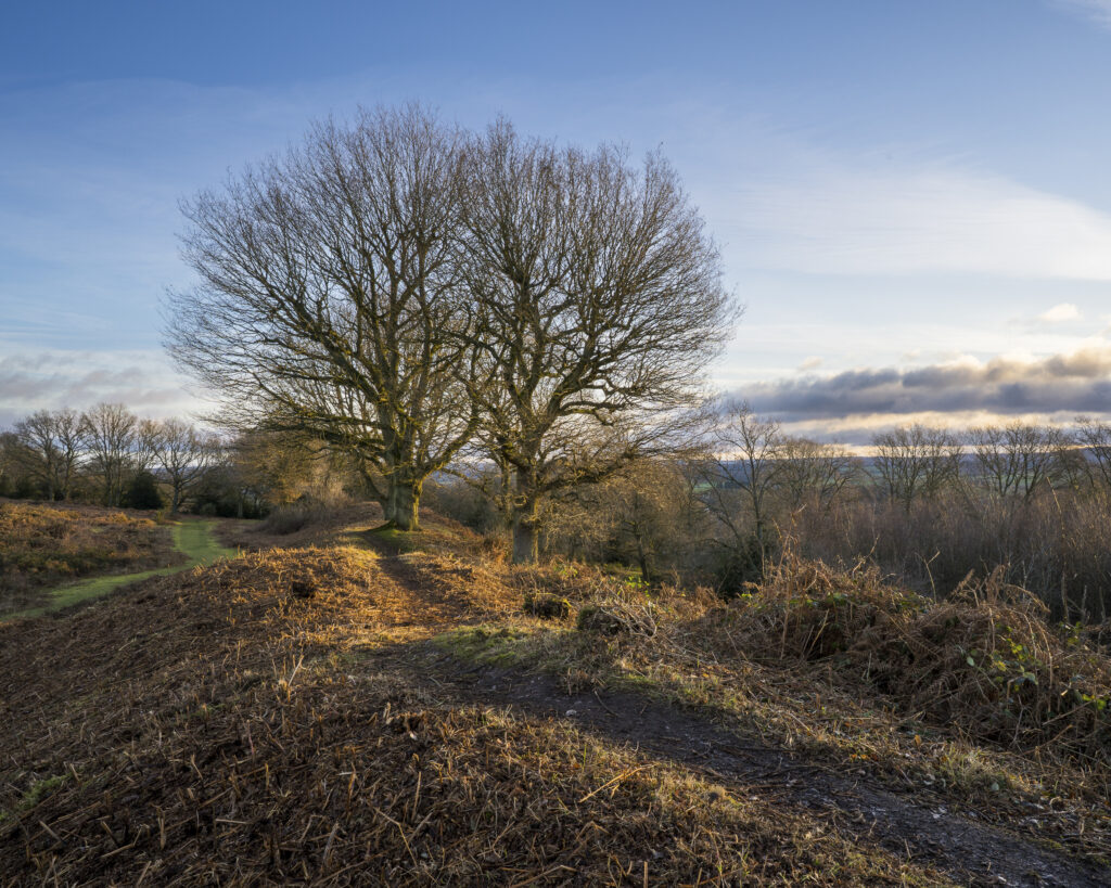
England, West Midlands, Kinver. Trees on the heathland of Kiver Edge – once the location of an Iron Age Hillfort
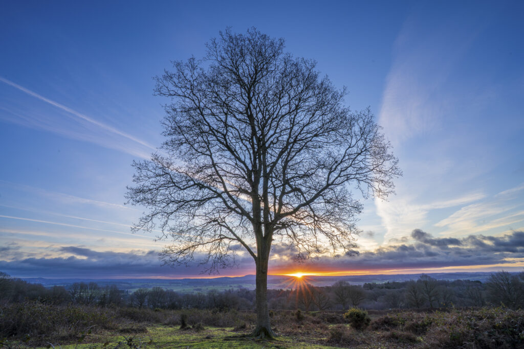
England, West Midlands, Kinver. Tree at sunrise on the heathland of Kiver Edge – once the location of an Iron Age Hillfort
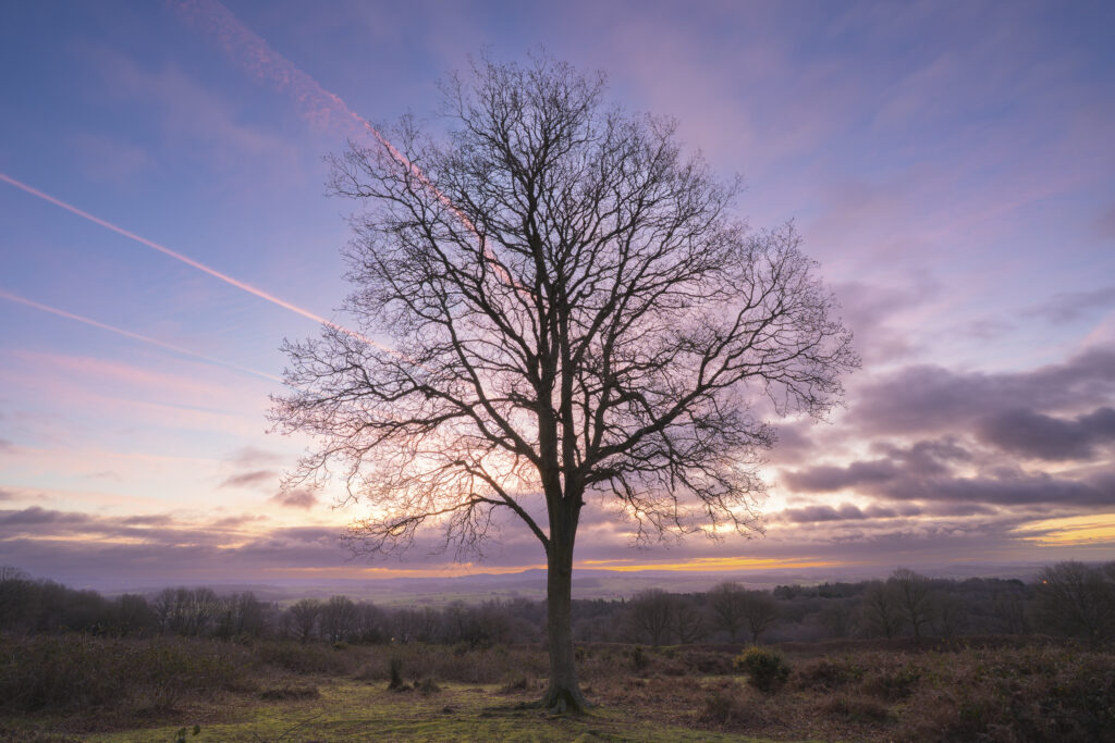
England, West Midlands, Kinver. Tree at sunrise on the heathland of Kiver Edge – once the location of an Iron Age Hillfort
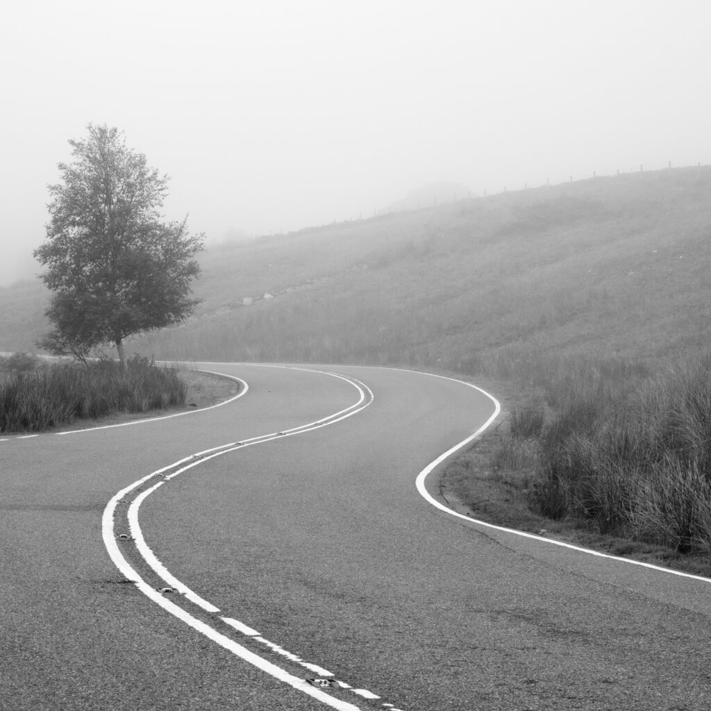
Scotland, Scottish Highlands, Loch Tarff. A misty morning at Loch Tarff, a small freshwater loch located near Loch Ness and Fort Augustus.
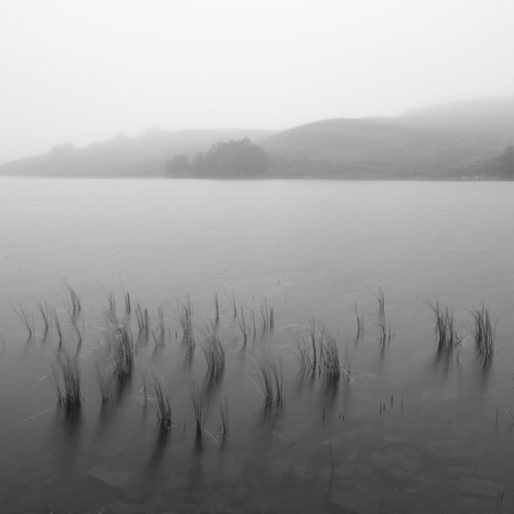
Scotland, Scottish Highlands, Loch Tarff. A misty morning at Loch Tarff, a small freshwater loch located near Loch Ness and Fort Augustus.
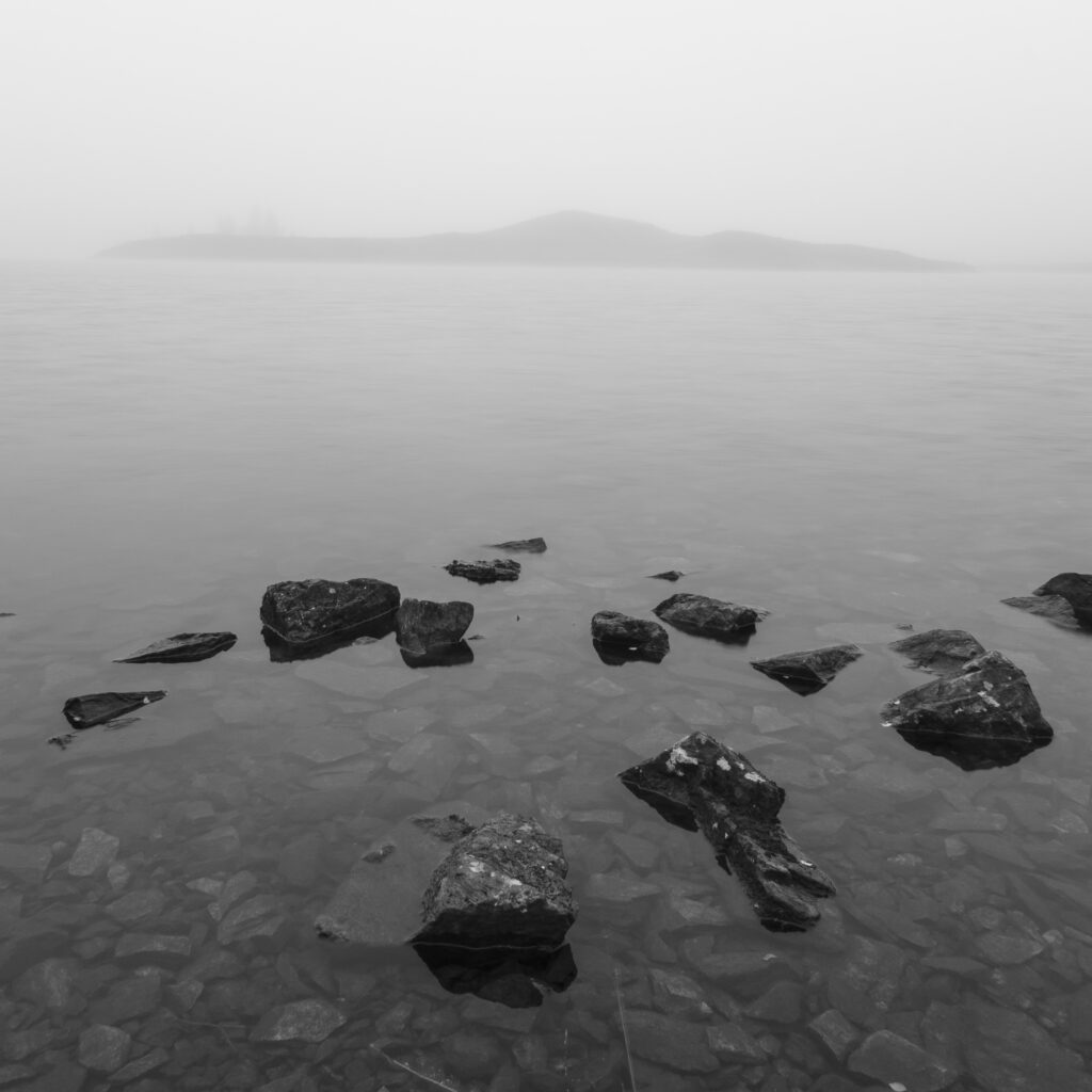
Scotland, Scottish Highlands, Loch Tarff. A misty morning at Loch Tarff, a small freshwater loch located near Loch Ness and Fort Augustus.
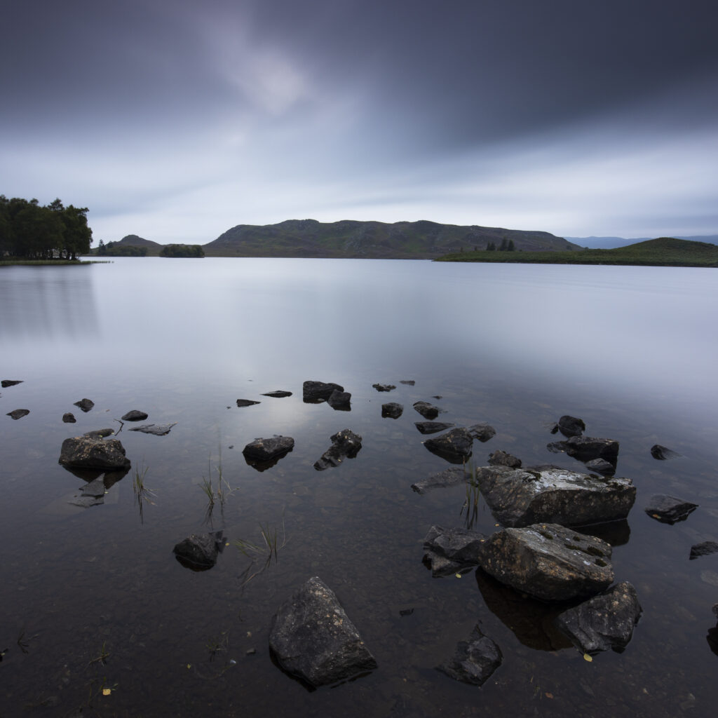
Scotland, Scottish Highlands, Loch Tarff. Dusk at Loch Tarff, a small freshwater loch located near Loch Ness and Fort Augustus.
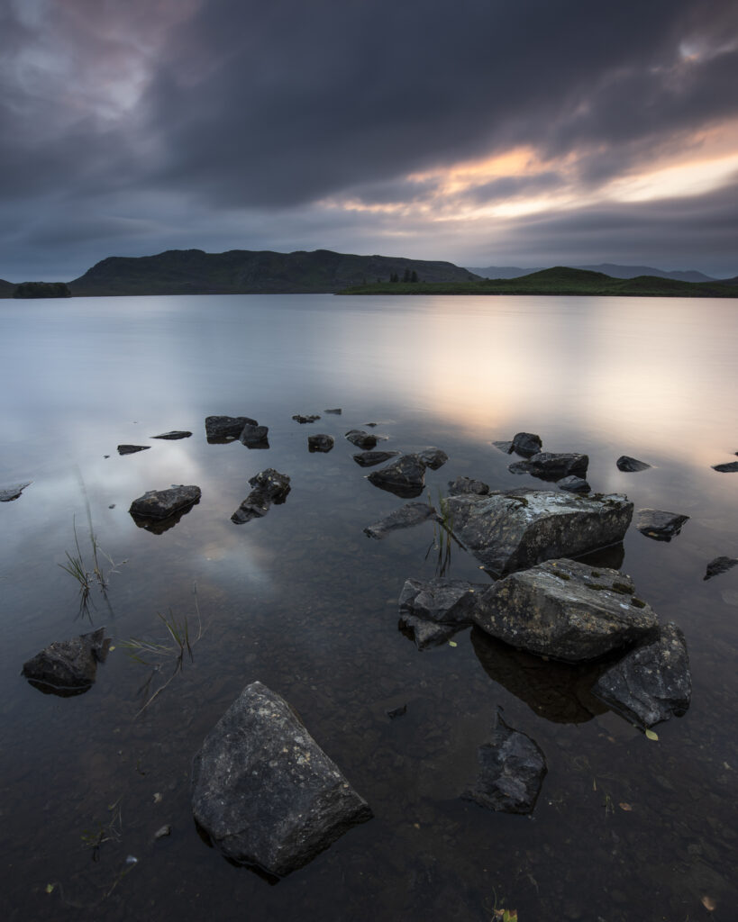
Scotland, Scottish Highlands, Loch Tarff. Dusk at Loch Tarff, a small freshwater loch located near Loch Ness and Fort Augustus.
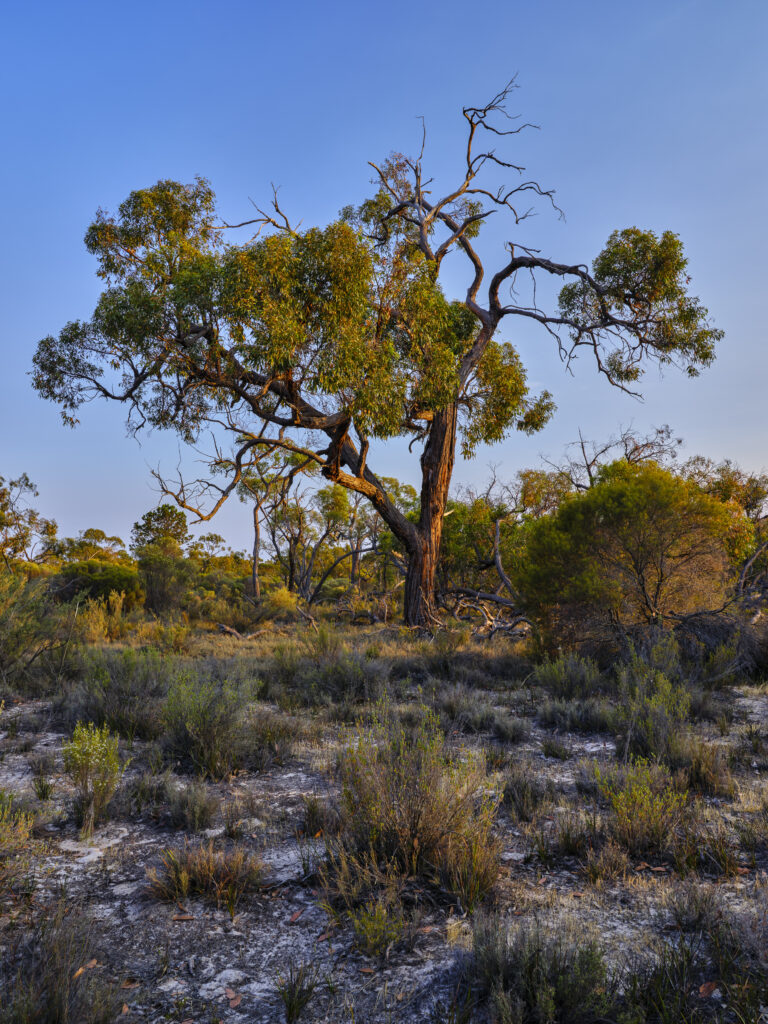
Australia, Victoria, Little Desert National Park. Native bushland in the Little Desert National Park, located near the Victoria / SA border.
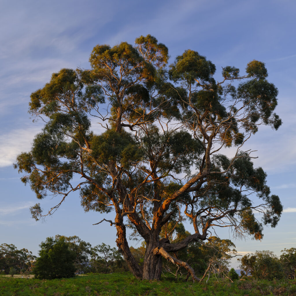
Australia, Victoria, Victoria Valley. Gum tree at last light, photographed on a summers evening in the Grampians.
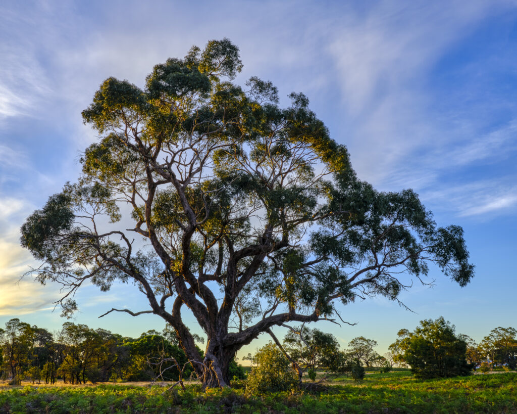
Australia, Victoria, Victoria Valley. Gum tree at last light, photographed on a summers evening in the Grampians.
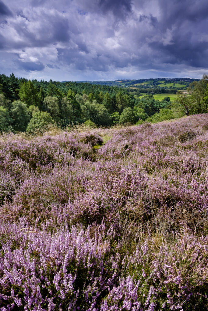
England, Staffordshire / Worcestershire, Kinver Edge. Purple flowering heather, Rolling hills and Forestry Commision woodlands viewed from Kinver Edge.
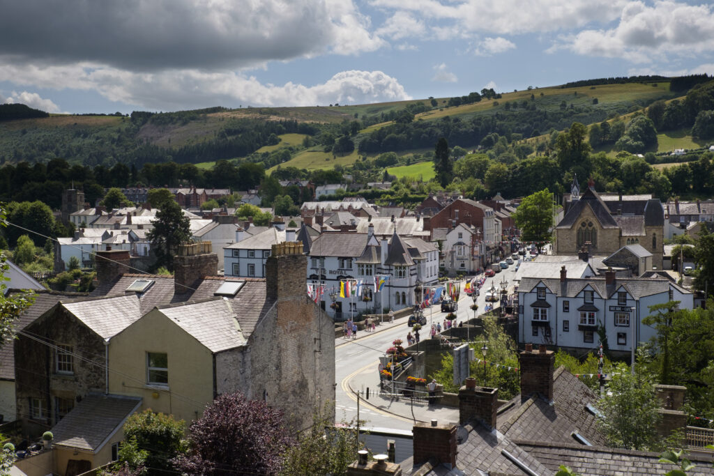
Wales, Denbighshire, Llangollen. View from train station looking across Langollen and surrounding hills and countryside.
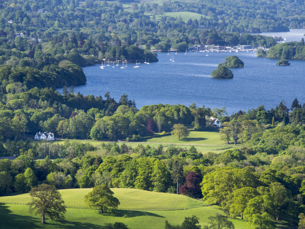
England, Cumbria, Lake District National Park. Rolling countryside near the small village of Troutbeck above Lake Windermere.
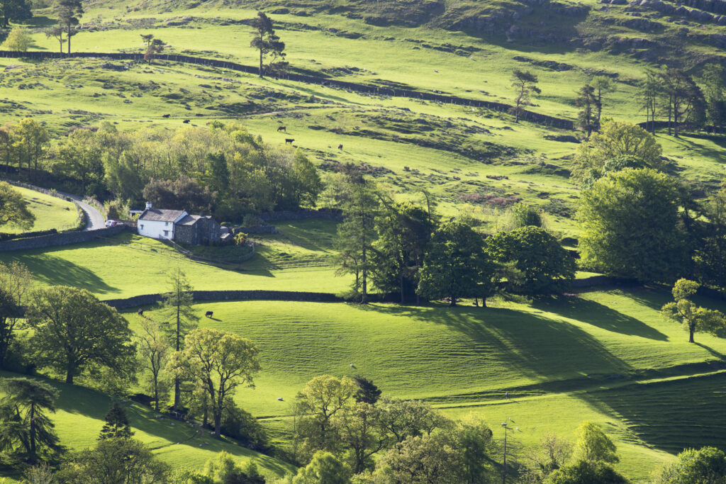
England, Cumbria, Lake District National Park. Rolling countryside near the small village of Troutbeck above Lake Windermere.
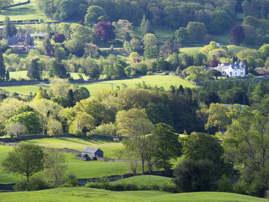
England, Cumbria, Lake District National Park. Rolling countryside near the small village of Troutbeck above Lake Windermere.
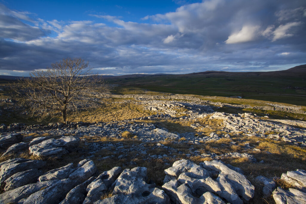
England, North Yorkshire, Yorkshire Dales National Park. Lone tree and limestone pavement in the area known as Moughton Scars near the small village of Horton in Ribblesdale.
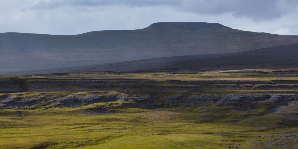
England, North Yorkshire, Yorkshire Dales National Park. Looking towards the peak of Ingleborough and the Moughton Scars, a natural karst landform (limestone pavement) which is common in the Yorkshire Dales.
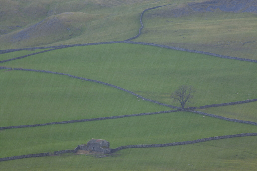
England, North Yorkshire, Yorkshire Dales National Park. Looking down on Crummack Dale during a snow shower and it's traditional dry-stone walls and barn which is a typical feature of the Yorkshire Dales.
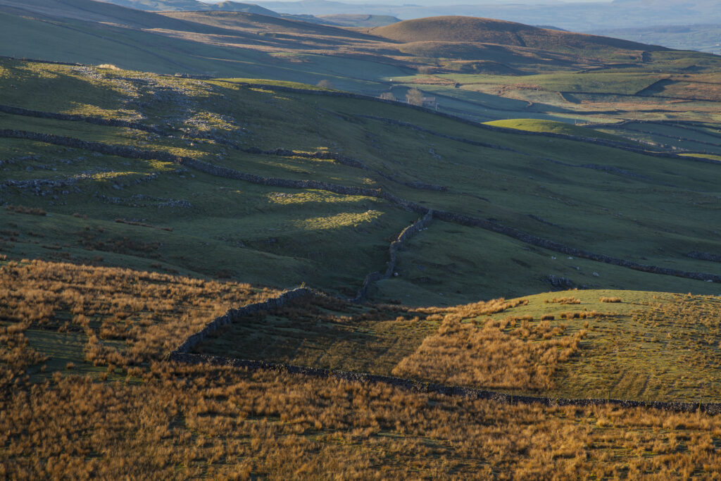
England, North Yorkshire, Yorkshire Dales National Park. Early morning light on fields, moorland and dry stone walls in Ribblesdale.
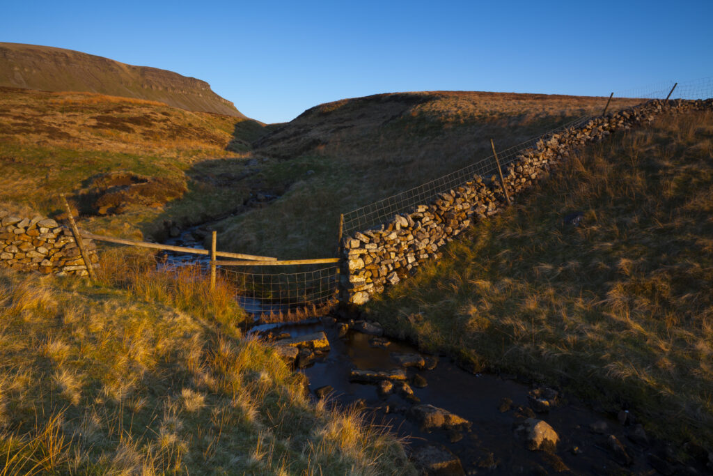
England, North Yorkshire, Yorkshire Dales National Park. Last light on Horton Moor in the Pennines, with the distinctive peak of Pen-y-ghent in the distance.
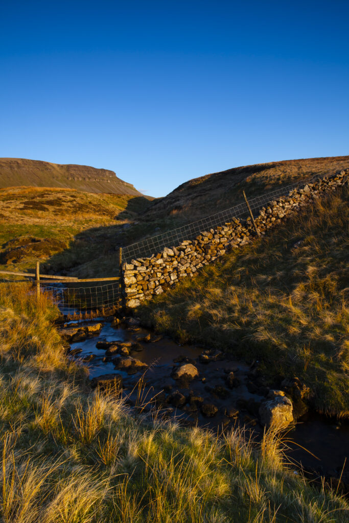
England, North Yorkshire, Yorkshire Dales National Park. Last light on Horton Moor in the Pennines, with the distinctive peak of Pen-y-ghent in the distance.
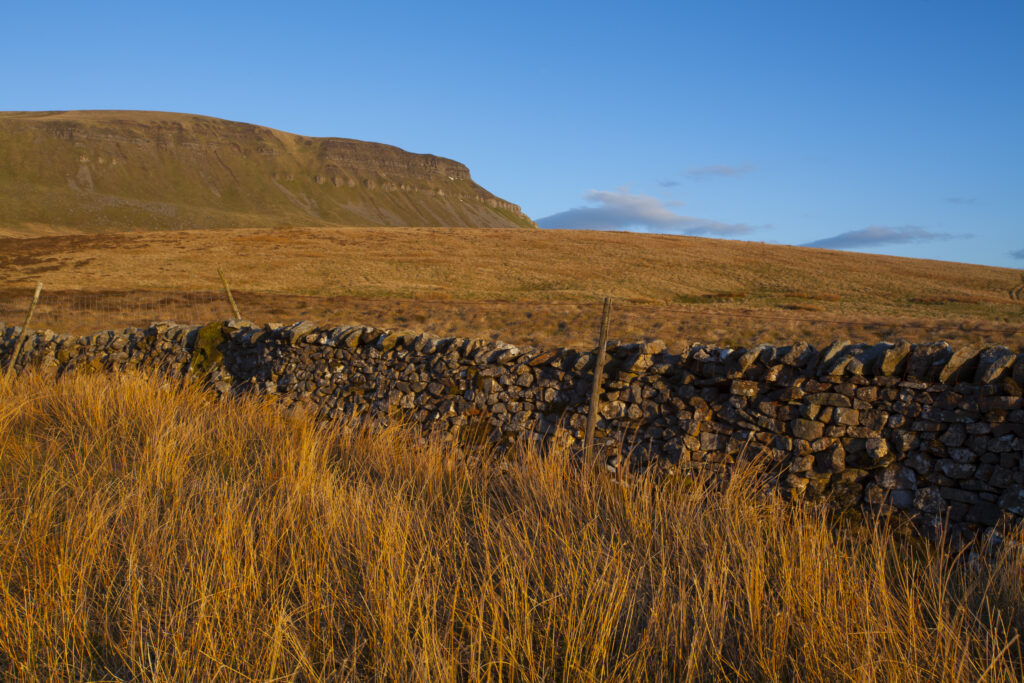
England, North Yorkshire, Yorkshire Dales National Park. Last light on Horton Moor in the Pennines, with the distinctive peak of Pen-y-ghent in the distance.
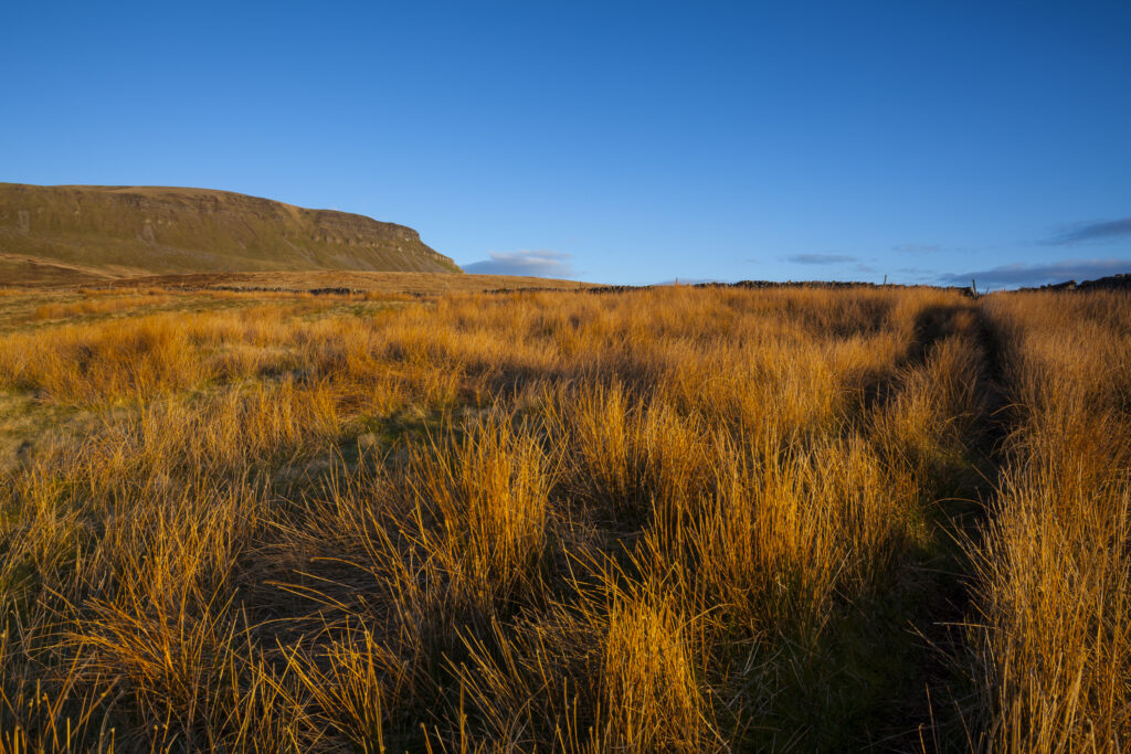
England, North Yorkshire, Yorkshire Dales National Park. Last light on Horton Moor in the Pennines, with the distinctive peak of Pen-y-ghent in the distance.
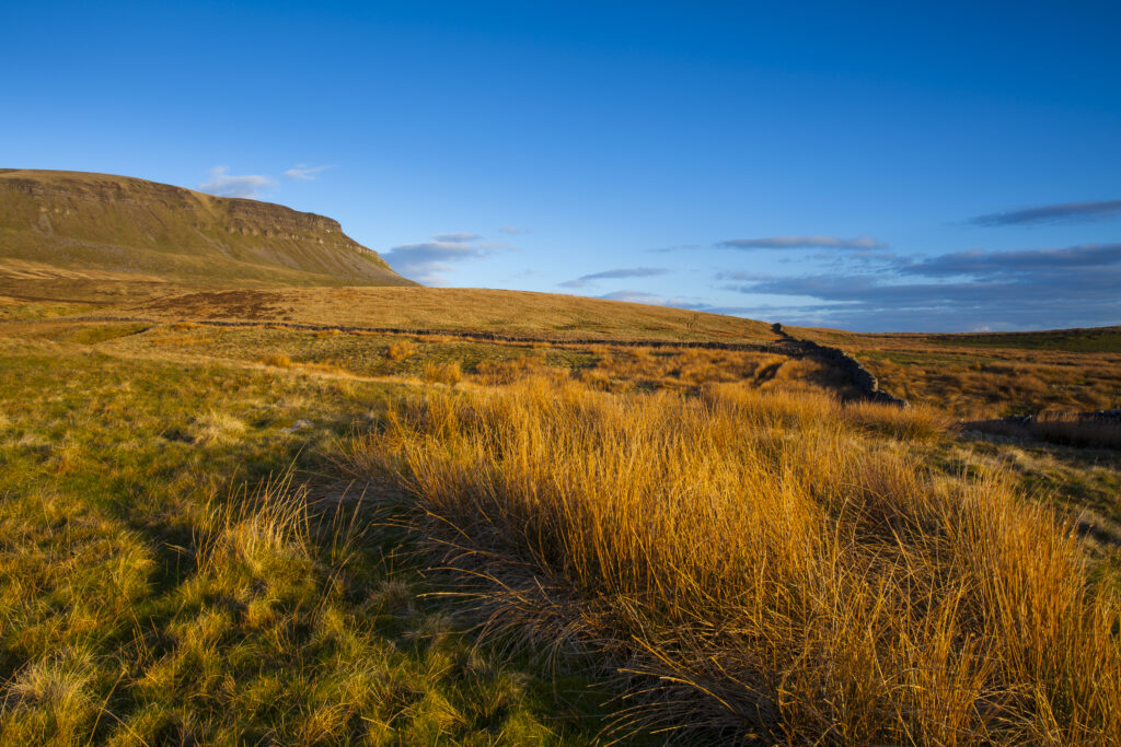
England, North Yorkshire, Yorkshire Dales National Park. Last light on Horton Moor in the Pennines, with the distinctive peak of Pen-y-ghent in the distance.
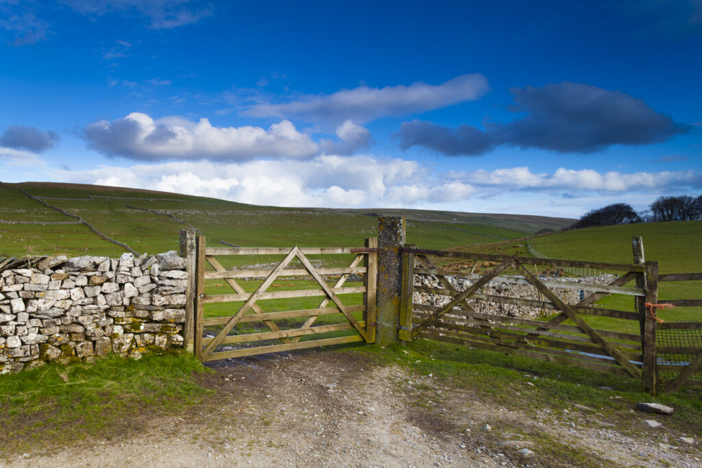
England, North Yorkshire, Yorkshire Dales National Park. Farm field and wooden gates, near the small village of Horton in Ribblesdale.
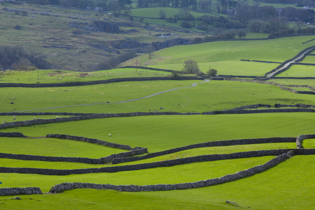
England, North Yorkshire, Yorkshire Dales National Park. Looking down on traditional dry-stone walls and fields which are a typical feature of the Yorkshire Dales near Ingleton.
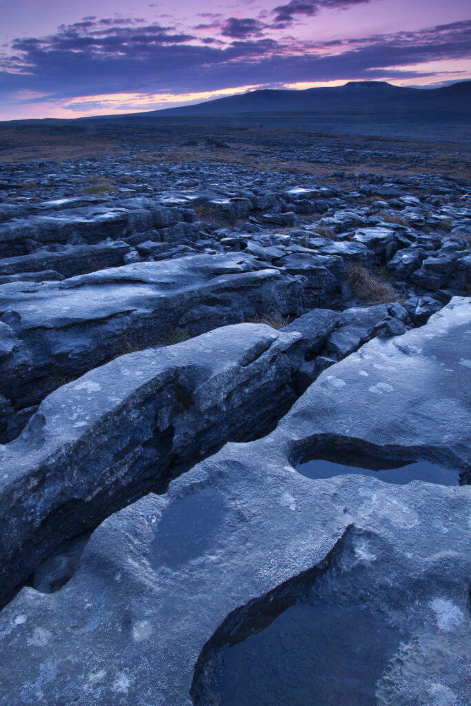
England, North Yorkshire, Yorkshire Dales National Park. Limestone pavement known as Moughton Scars, near the small village of Horton in Ribblesdale, with the peaks of Ingleborough in the distance.
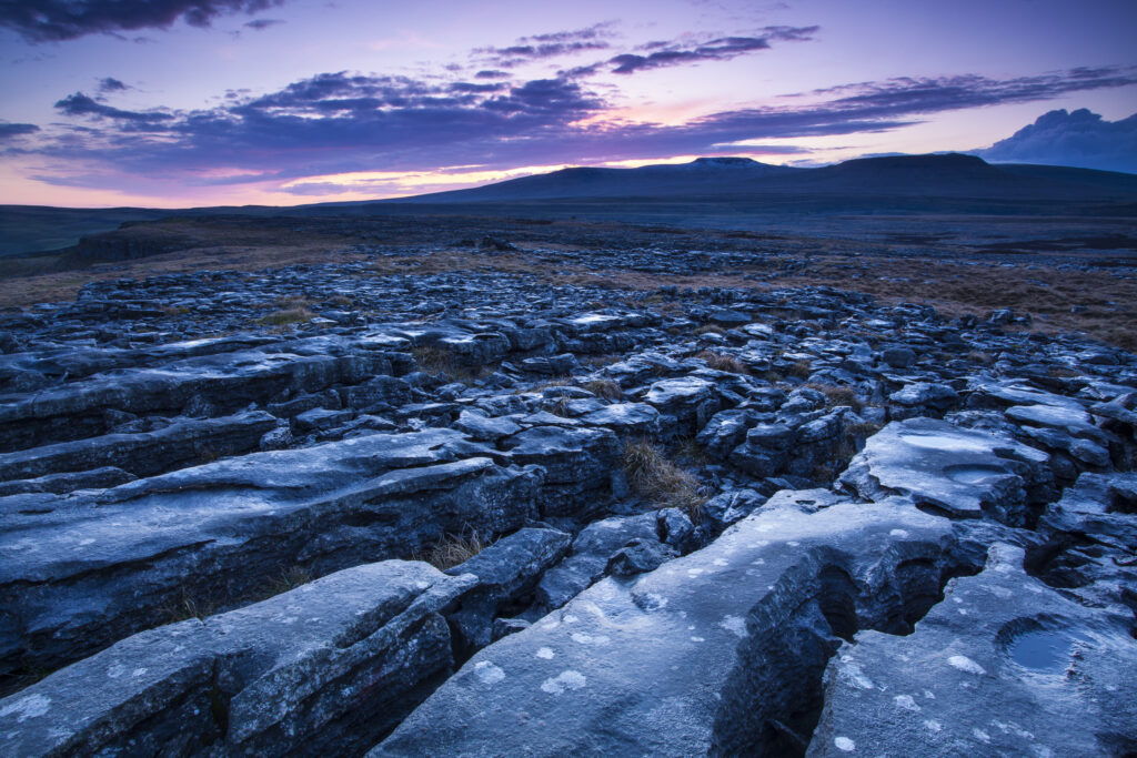
England, North Yorkshire, Yorkshire Dales National Park. Limestone pavement known as Moughton Scars, near the small village of Horton in Ribblesdale, with the peaks of Ingleborough in the distance.
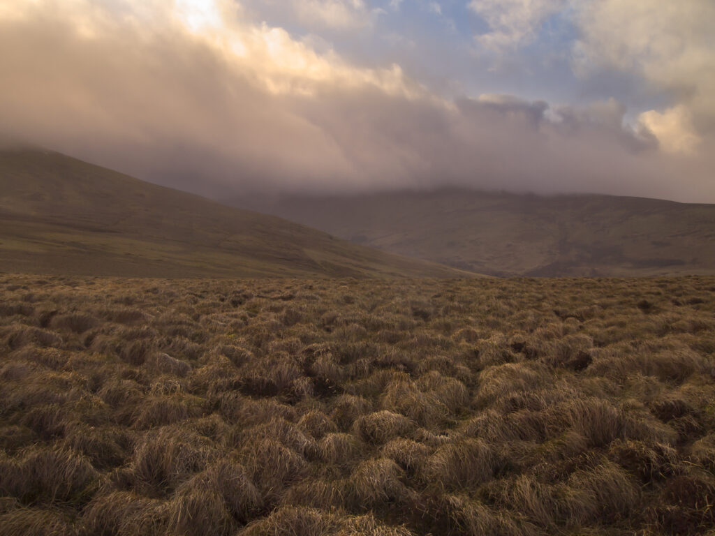
England, Northumberland, Northumberland National Park. Looking across the Harthope Valley towards the Cheviot, from the upper slopes of the Cheviot Hills.
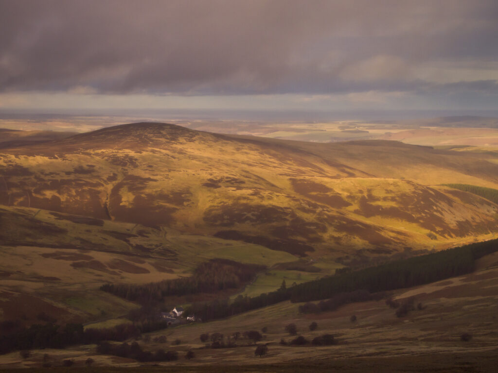
England, Northumberland, Northumberland National Park. Looking down towards the Harthope Valley, during a rain storm, from the upper slopes of the Cheviot Hills.
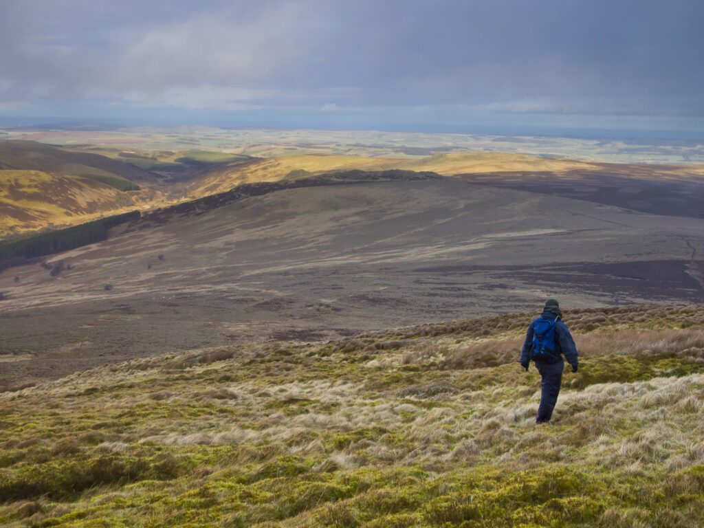
England, Northumberland, Northumberland National Park. Hiker walking down towards the Harthope Valley, from the upper slopes of the Cheviot Hills.
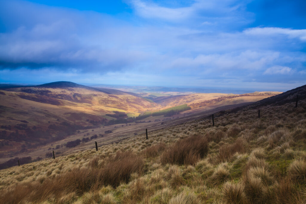
England, Northumberland, Northumberland National Park. Looking down towards the Harthope Valley, during a rain storm, from the upper slopes of the Cheviot Hills.
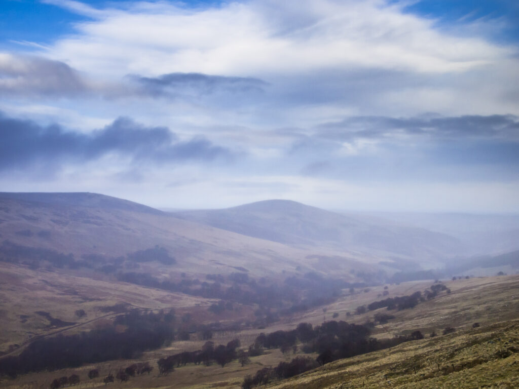
England, Northumberland, Northumberland National Park. Looking across the Harthope Valley towards the Cheviot, from the upper slopes of the Cheviot Hills.
Favourites
Photofeed
