
Your search for “water” returned 1263 images.
Clear Search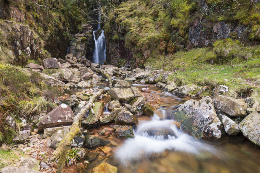
England, Cumbria, Lake District National Park. Scale Force near the village of Buttermere within the Lake District National Park.
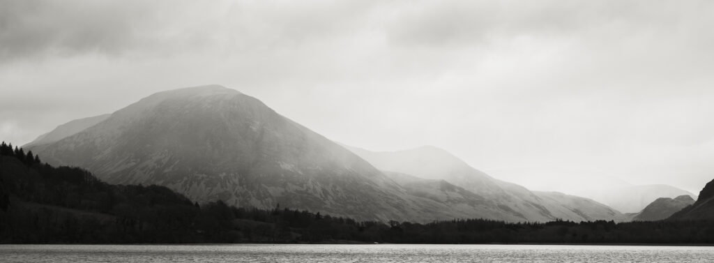
England, Cumbria, Lake District National Park. Rain clouds engulf the mountain peaks surrounding Loweswater.
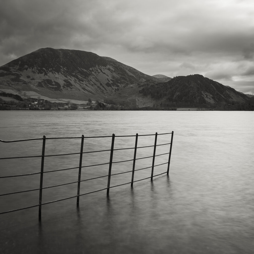
England, Cumbria, Lake District National Park. Ennerdale Water, a remote lake located in the North-West Lake District.
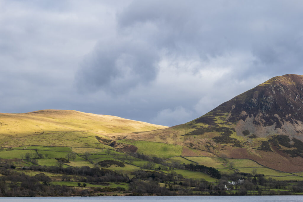
England, Cumbria, Lake District National Park. Mountains surrounding Ennerdale Water, a remote lake located in the North-West Lake District.
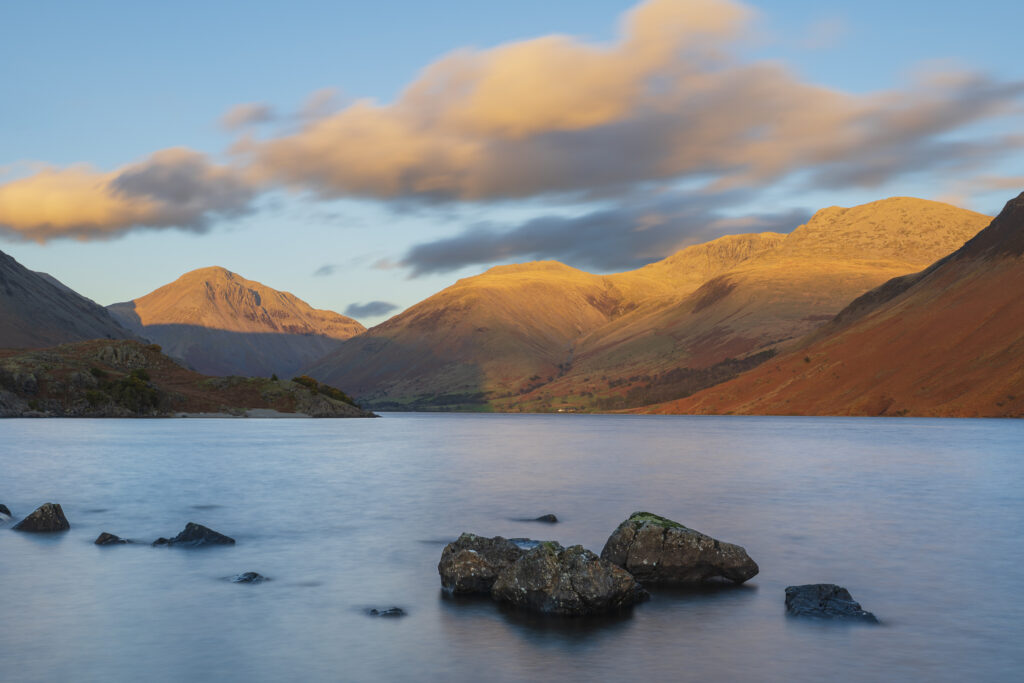
England, Cumbria, Lake District National Park. After light illuminates the mountains surrouding Wasdale, viewed from Wastwater – The deepest lake in England.
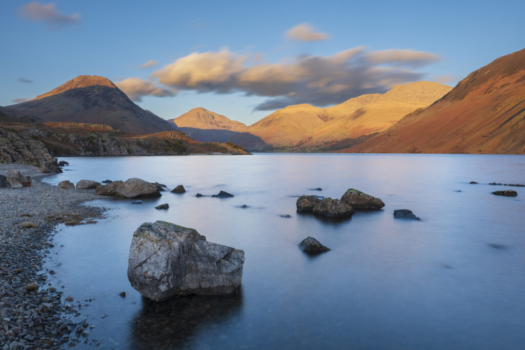
England, Cumbria, Lake District National Park. After light illuminates Great Gable and the other mountains surrouding Wasdale, viewed from Wastwater – The deepest lake in England.
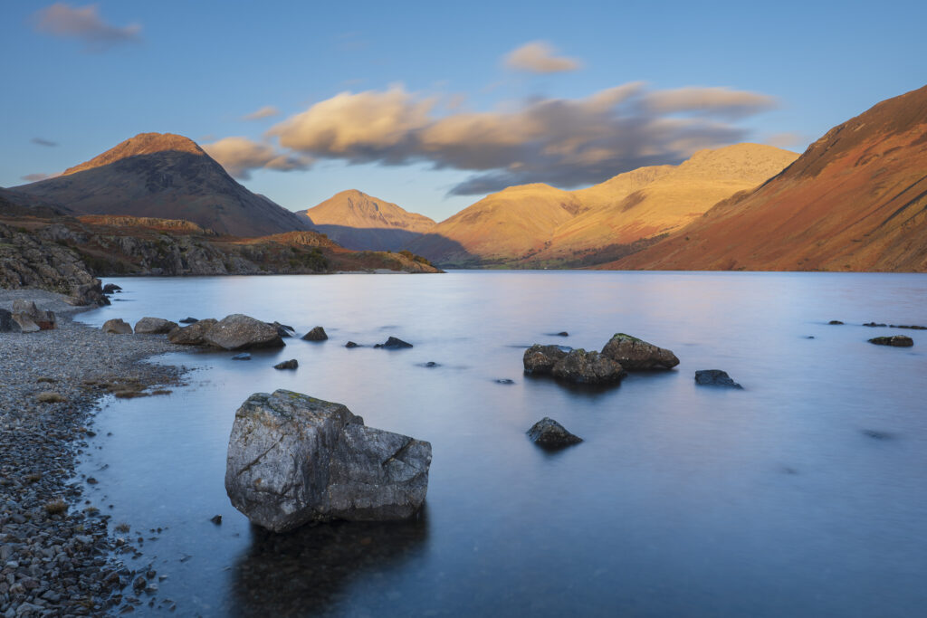
England, Cumbria, Lake District National Park. After light illuminates Great Gable and the other mountains surrouding Wasdale, viewed from Wastwater – The deepest lake in England.
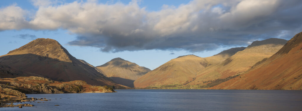
England, Cumbria, Lake District National Park. After light illuminates Great Gable and the other mountains surrouding Wasdale, viewed from Wastwater – The deepest lake in England.
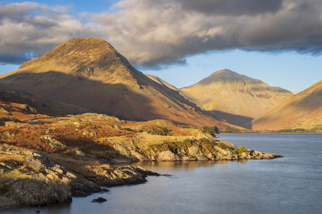
England, Cumbria, Lake District National Park. Evening light illuminates Great Gable and the other mountains surrouding Wasdale, viewed from Wastwater – The deepest lake in England.
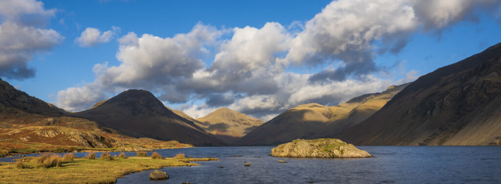
England, Cumbria, Lake District National Park. After light illuminates Great Gable and the other mountains surrouding Wasdale, viewed from Wastwater – The deepest lake in England.
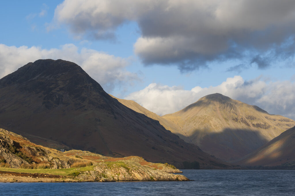
England, Cumbria, Lake District National Park. After light illuminates Great Gable and the other mountains surrouding Wasdale, viewed from Wastwater – The deepest lake in England.
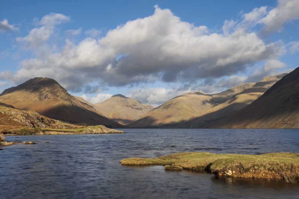
England, Cumbria, Lake District National Park. After light illuminates Great Gable and the other mountains surrouding Wasdale, viewed from Wastwater – The deepest lake in England.
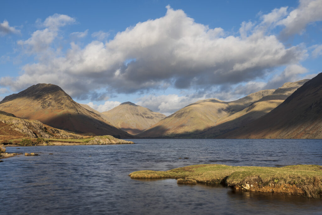
England, Cumbria, Lake District National Park. After light illuminates Great Gable and the other mountains surrouding Wasdale, viewed from Wastwater – The deepest lake in England.
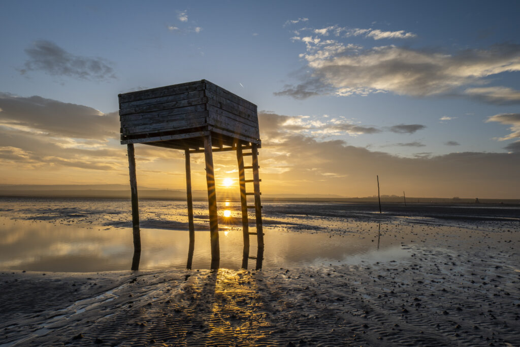
England, Northumberland, Northumberland Heritage Coast. Emergency shelter on the Pilgrim's Causeway linking the Holy Island of Lindisfarne off the Northumberland Coast with the mainland.
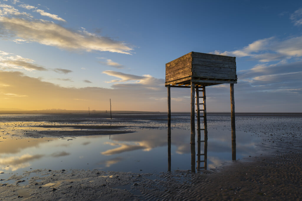
England, Northumberland, Northumberland Heritage Coast. Emergency shelter on the Pilgrim's Causeway linking the Holy Island of Lindisfarne off the Northumberland Coast with the mainland.
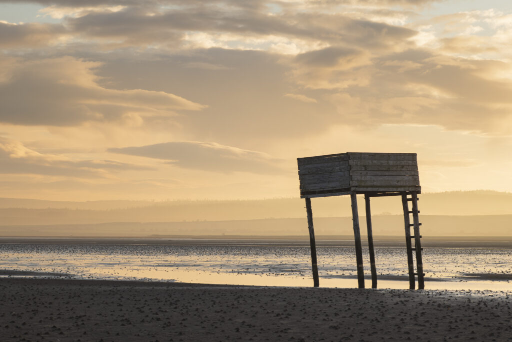
England, Northumberland, Northumberland Heritage Coast. Emergency shelter on the Pilgrim's Causeway linking the Holy Island of Lindisfarne off the Northumberland Coast with the mainland.
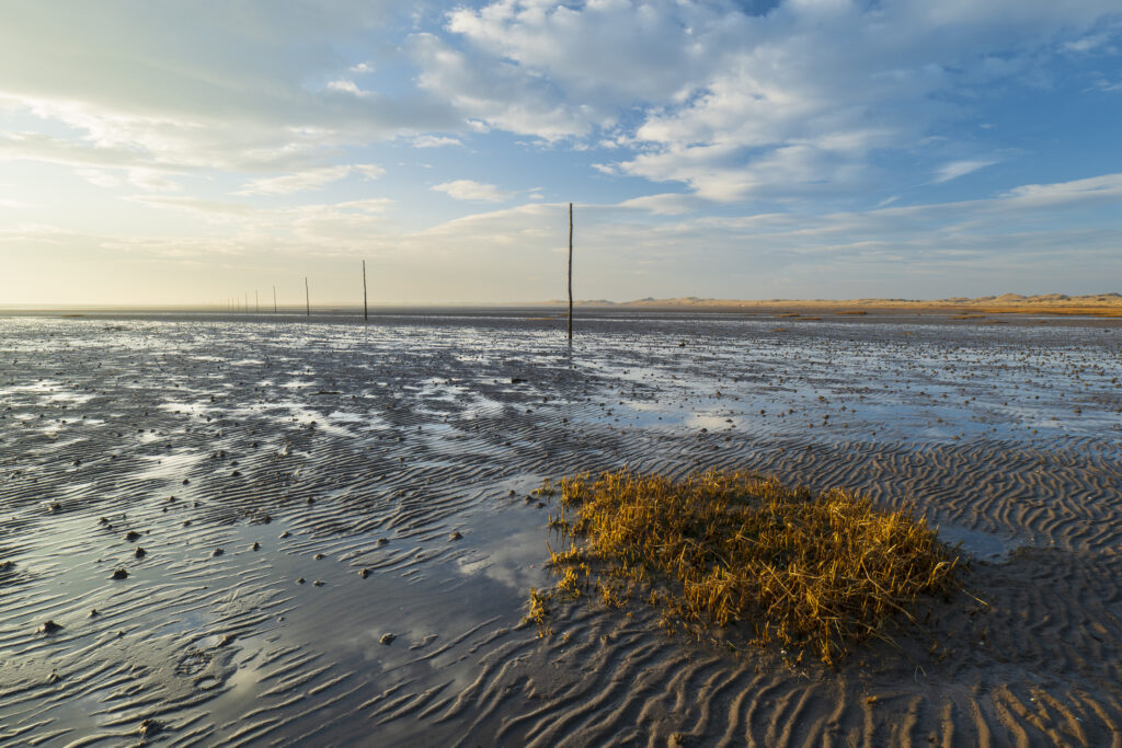
England, Northumberland, Northumberland Heritage Coast. Wooden posts marking the Pilgrim's Causeway linking the Holy Island of Lindisfarne off the Northumberland Coast with the mainland.
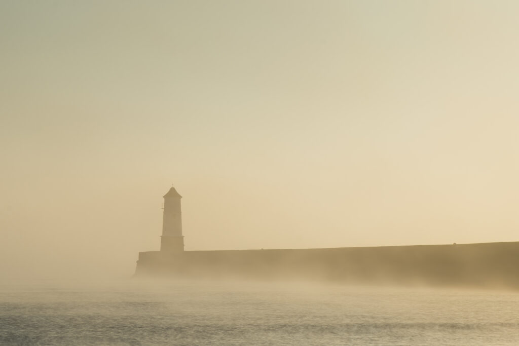
England, Northumberland, Berwick Upon Tweed. A misty morning at Berwick Upon Tweed, with the lighthouse and pier surrounded in fog.
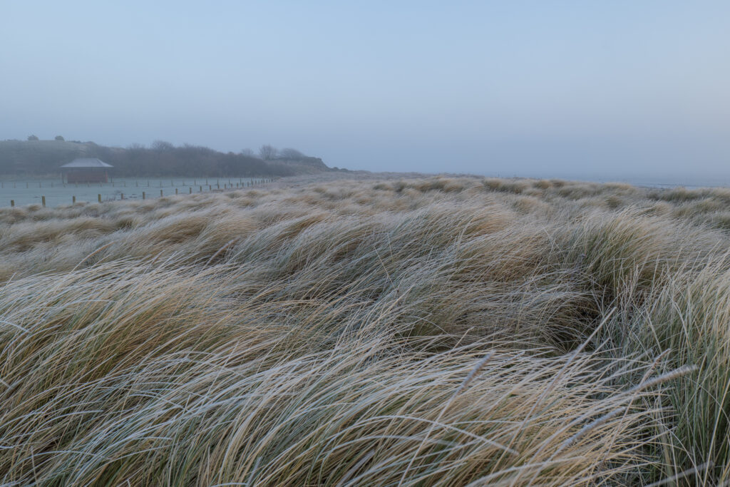
England, Northumberland, Berwick Upon Tweed. A misty morning on the coast at Berwick Upon Tweed, with the coast line engulfed by fog.
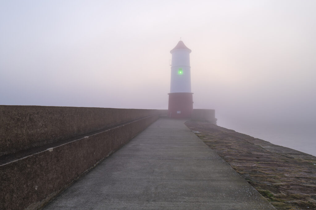
England, Northumberland, Berwick Upon Tweed. A misty morning at Berwick Upon Tweed, with the lighthouse and pier surrounded in fog.
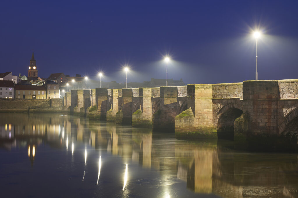
England, Northumberland, Berwick Upon Tweed. Evening scene of Berwick Old Bridge Bridge spanning the River Tweed.
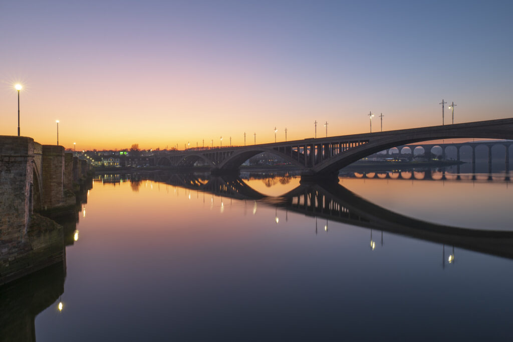
England, Northumberland, Berwick Upon Tweed. The colours of dusk reflected in the still waters of the river Tweed with the three bridges in view.
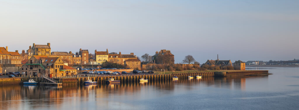
England, Northumberland, Berwick Upon Tweed. Panoramic view of the Quayside at Berwick Upon Tweed viewed at sunset.
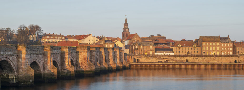
England, Northumberland, Berwick Upon Tweed. Berwick Old Bridge spanning the River Tweed.
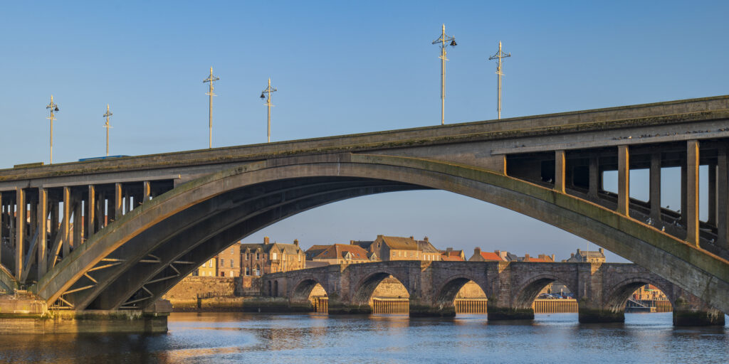
England, Northumberland, Berwick Upon Tweed. Berwick Old Bridge and Royal Tweed Bridge spanning the River Tweed.
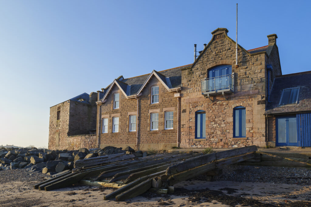
England, Northumberland, Berwick Upon Tweed. The Old Lifeboat House near the quayside and the mouth of the tweed.
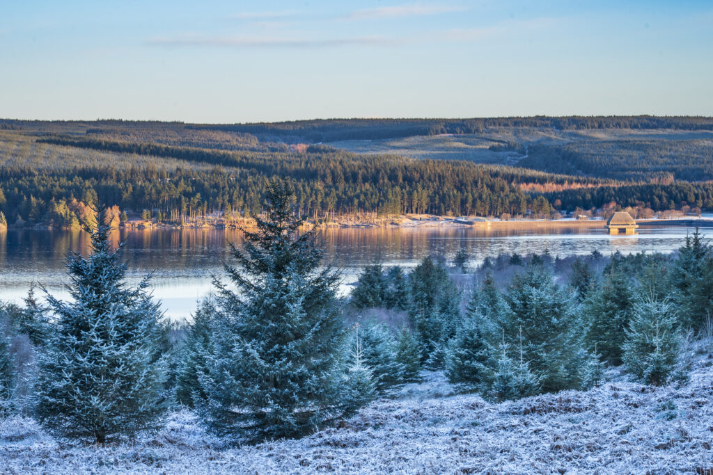
England, Northumberland, Kielder Water & Forest Park. View from the Elf Kirk Viewpoint looking over the snow covered landscape of the Kielder Water & Forest Park.
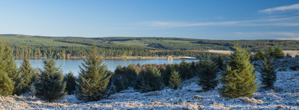
England, Northumberland, Kielder Water & Forest Park. View from the Elf Kirk Viewpoint looking over the snow covered landscape of the Kielder Water & Forest Park.
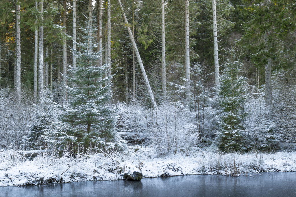
England, Northumberland, Kielder Water & Forest Park. The snow covered landscape of the Bakethin Nature Reserve (Conservation area) in Northern Kielder.
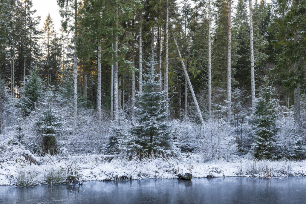
England, Northumberland, Kielder Water & Forest Park. The snow covered landscape of the Bakethin Nature Reserve (Conservation area) in Northern Kielder.
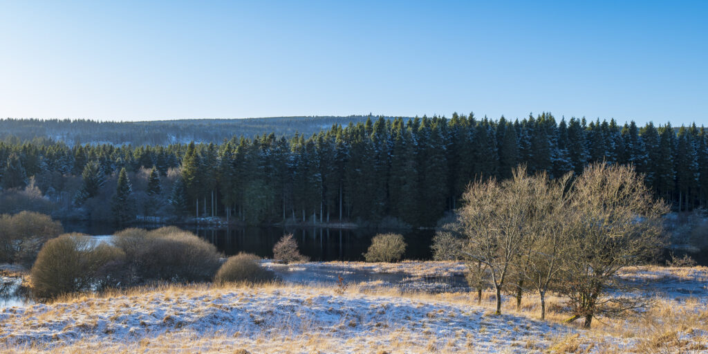
England, Northumberland, Kielder Water & Forest Park. The snow covered landscape of the Bakethin Nature Reserve (Conservation area) in Northern Kielder.
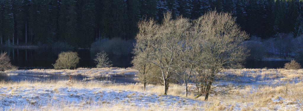
England, Northumberland, Kielder Water & Forest Park. The snow covered landscape of the Bakethin Nature Reserve (Conservation area) in Northern Kielder.
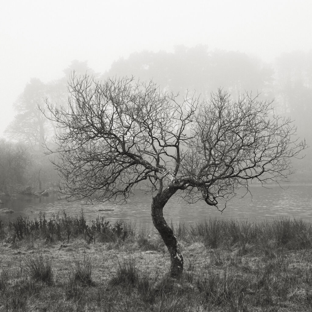
England, Northumberland, Hadrian's Wall. A misty morning near Hadrians Wall, a world heritage site located within the Northumberland National Park.
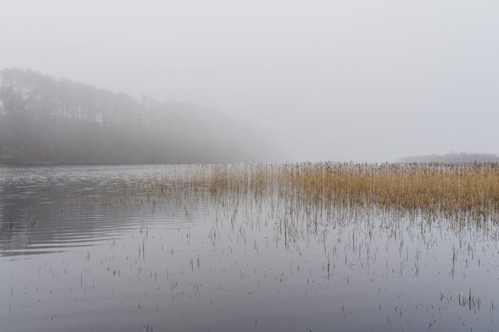
England, Northumberland, Hadrian's Wall. A misty morning near Hadrians Wall, a world heritage site located within the Northumberland National Park.
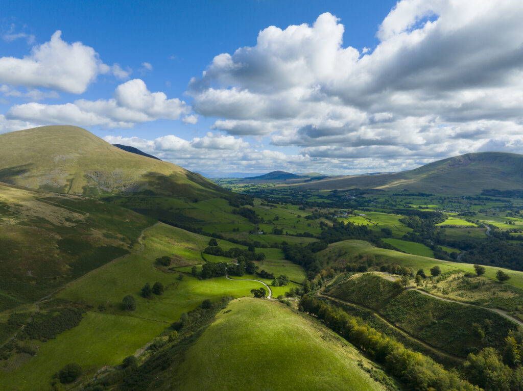
England, Cumbria, Lake District National Park. Aerial view from near the summit of Latrigg looking towards the north east lake district.
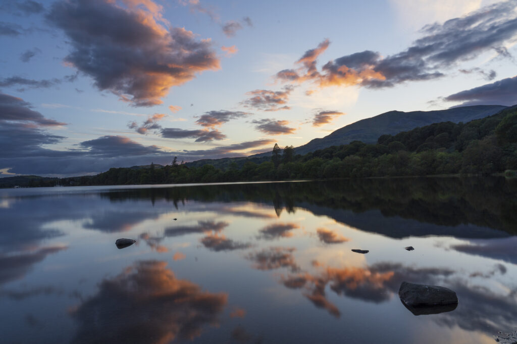
England, Cumbria, Lake District National Park. Lakeland hills and a colourful sunset reflected upon the still face of Coniston Water.
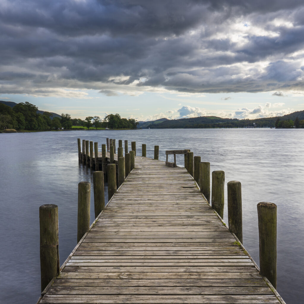
England, Cumbria, Lake District National Park. Jetty on Coniston Water, the third largest lake in the English Lake District.
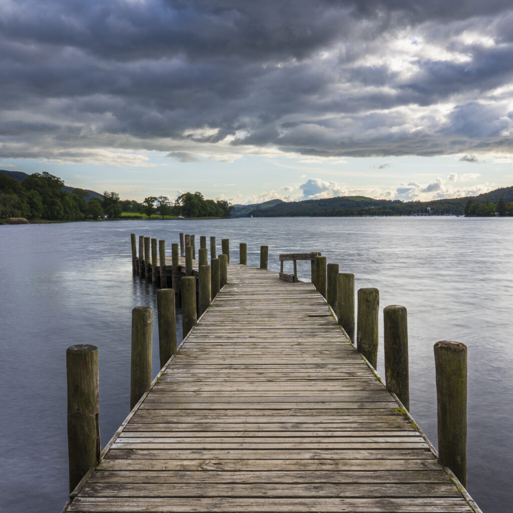
England, Cumbria, Lake District National Park. Jetty on Coniston Water, the third largest lake in the English Lake District.
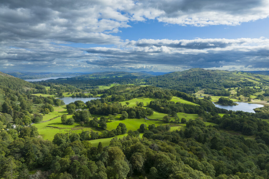
England, Cumbria, Lake District National Park. Aerial view of Elterwater, Loughrigg Tarn and Lake Windermere looking south towards the southern lake district.
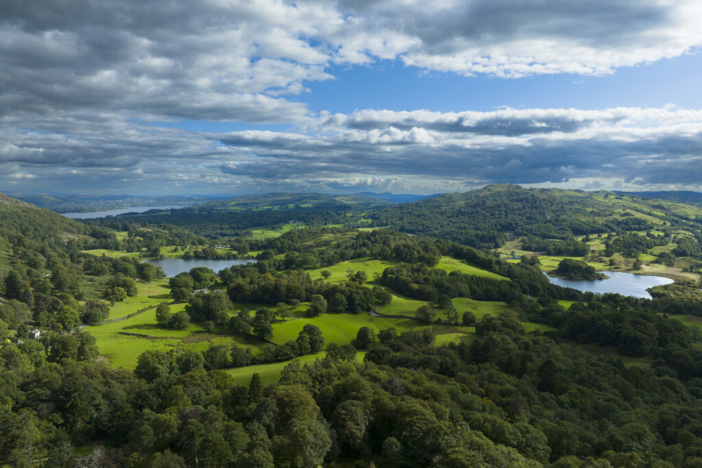
England, Cumbria, Lake District National Park. Aerial view of Elterwater, Loughrigg Tarn and Lake Windermere looking south towards the southern lake district.
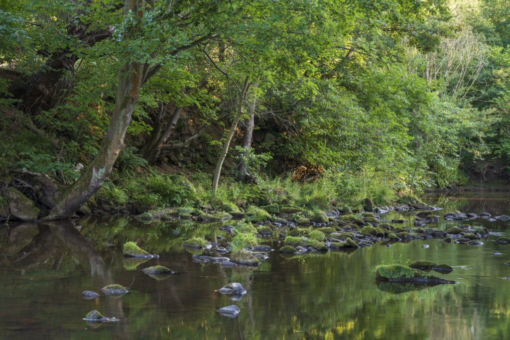
England, North Yorkshire, North York Moors National Park. Woodland surrounding the River Esk near Egton Bridge in the National Park
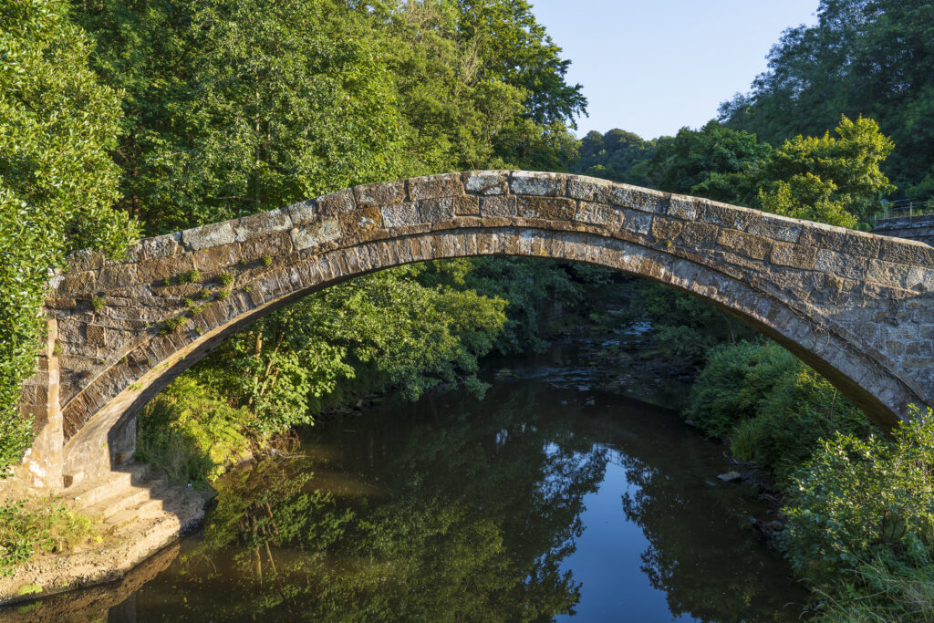
England, North Yorkshire, North York Moors National Park. Beggar's Bridge, a tradtional arched bridgfe designed to carry walkers and horses over the River Esk in Glaisdale.
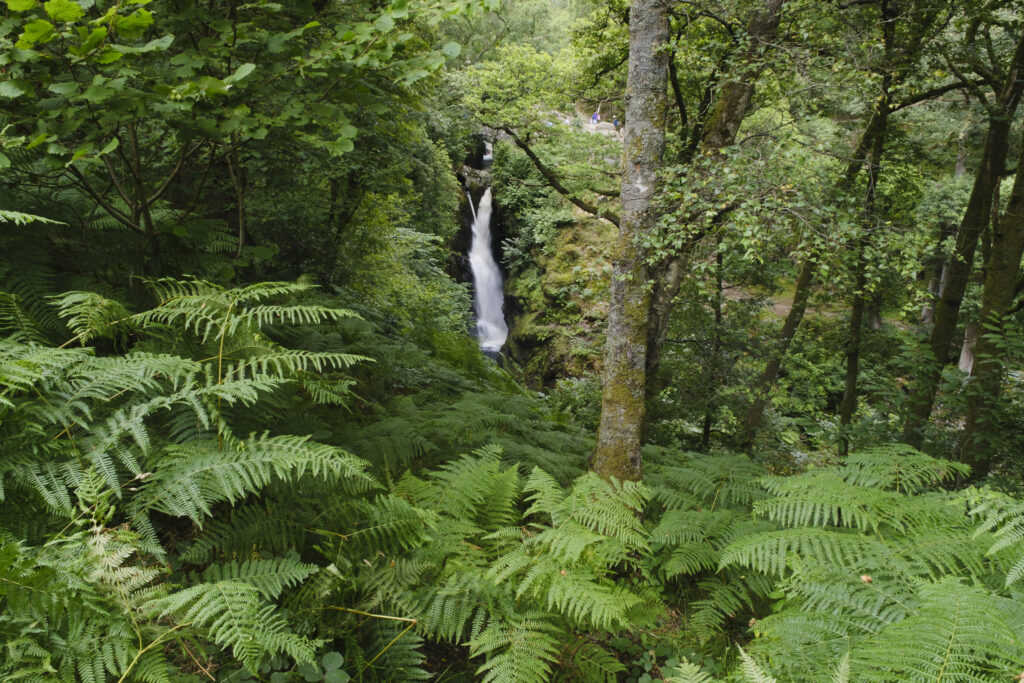
England, Cumbria, Lake District National Park. Aira Force is a powerful body of water near the shores of Ullswater. A circular walk follows both sides of the falls with a picturesque stone bridge providing the means to cross the 70ft dramatic drop of the water.
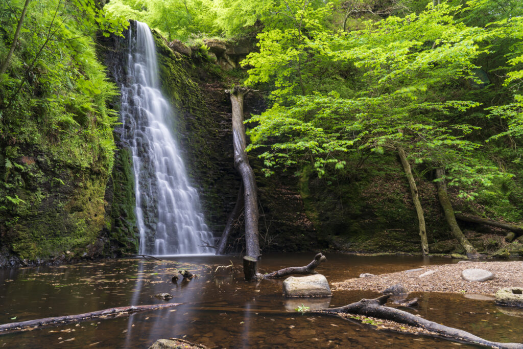
England, North Yorkshire, North York Moors National Park. Falling Foss, a popular waterfall situated in Sneaton Forest in the North York Moors National Park.
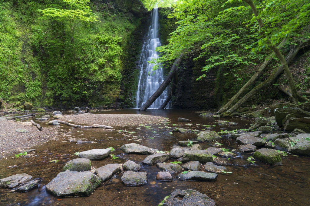
England, North Yorkshire, North York Moors National Park. Falling Foss, a popular waterfall situated in Sneaton Forest in the North York Moors National Park.
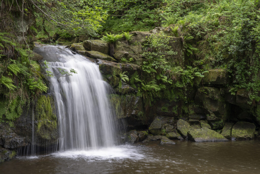
England, North Yorkshire, North York Moors National Park. Thomason Foss, a picturesque waterfall located between the villages of Goathland and Beck Hole.
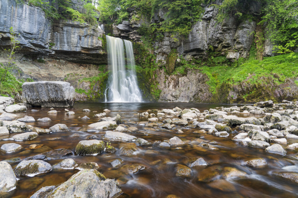
Englabd, Yorkshire, Yorkshire Dales National Park. The fast flowing waters of the Thornton Force waterfall, near Ingleton.
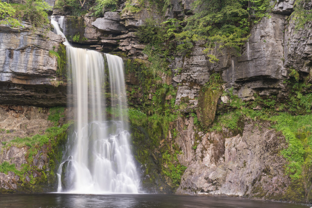
Englabd, Yorkshire, Yorkshire Dales National Park. The fast flowing waters of the Thornton Force waterfall, near Ingleton.
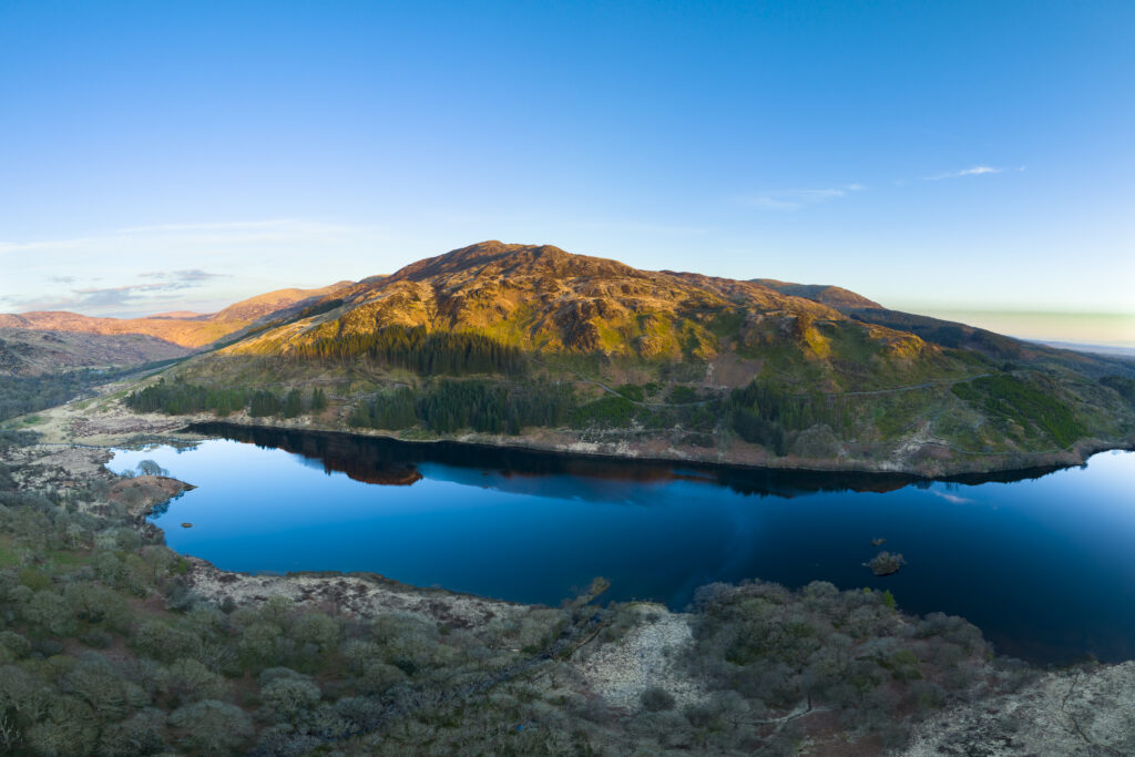
Scotland, Dumfries & Galloway, Galloway Forest Park. Aerial photograph of Loch Trool, a popular tourist attraction located in Glen Trool & the Galloway Forest Park.
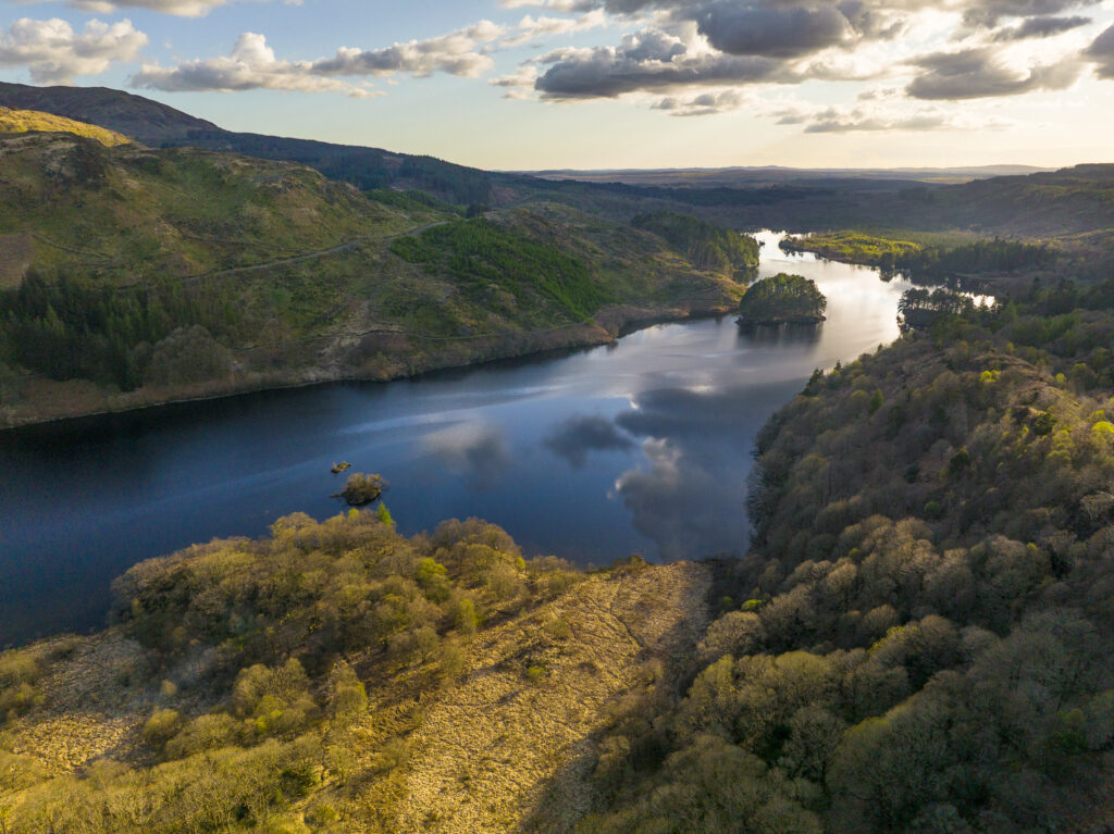
Scotland, Dumfries & Galloway, Galloway Forest Park. Aerial photograph of Loch Trool, a popular tourist attraction located in Glen Trool & the Galloway Forest Park.
Favourites
Photofeed
