
Your search for “RM” returned 1681 images.
Clear Search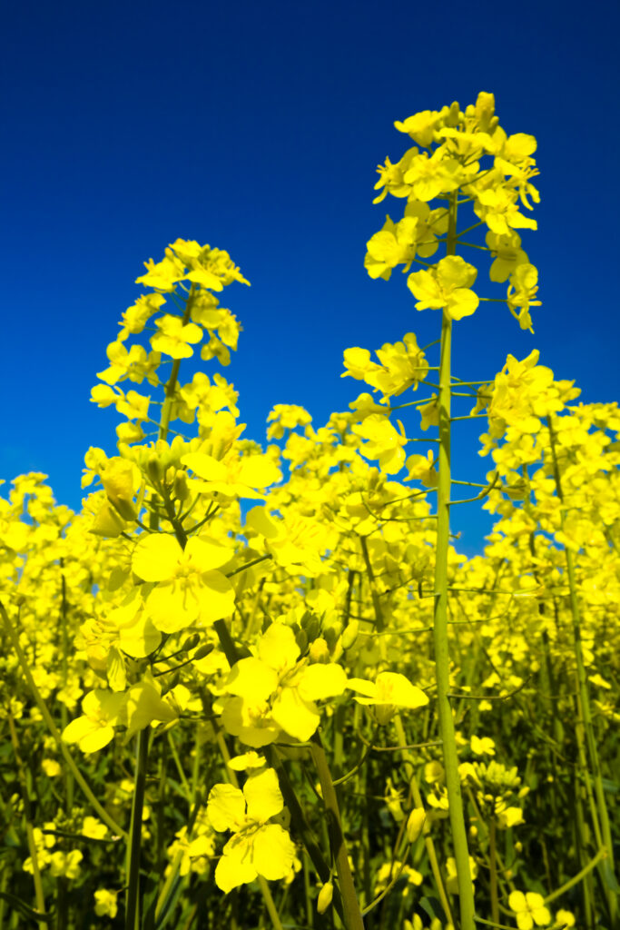
ENGLAND, Tyne & Wear, Holywell Dene. Fields of Rape growing in North Tyneside is a common sight due to the popularity of the Rapeseed oil which is extracted from the crop.
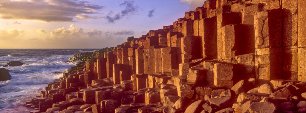
NORTHERN IRELAND, County Antrim, Giants Causeway. Waves crash against the hexagonal basalts rock formations of this world heritage site.
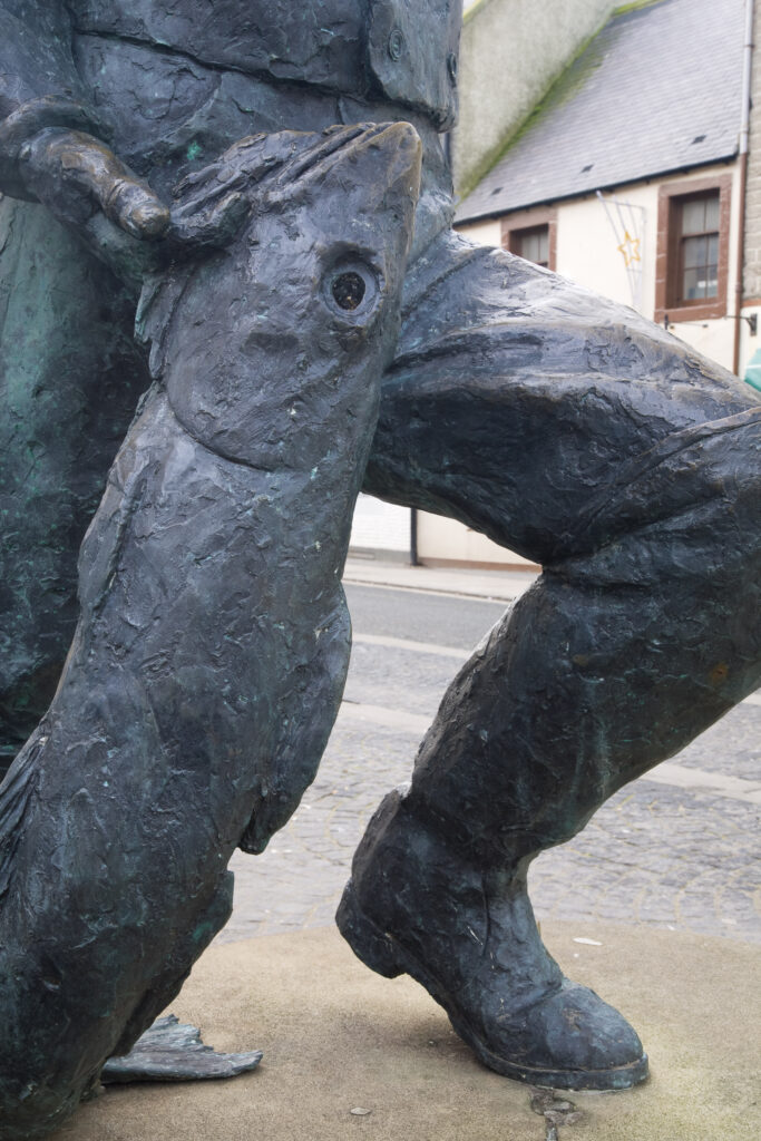
Scotland, Scottish Borders, Eyemouth. Bronze statue celebrating the historical hero of the coastal town of Eyemouth, Willie Spears (1812 – 1885). Willie became famous when he revolted against the Church of Scotland for the high taxes placed on the town’s fishermen and their catch.
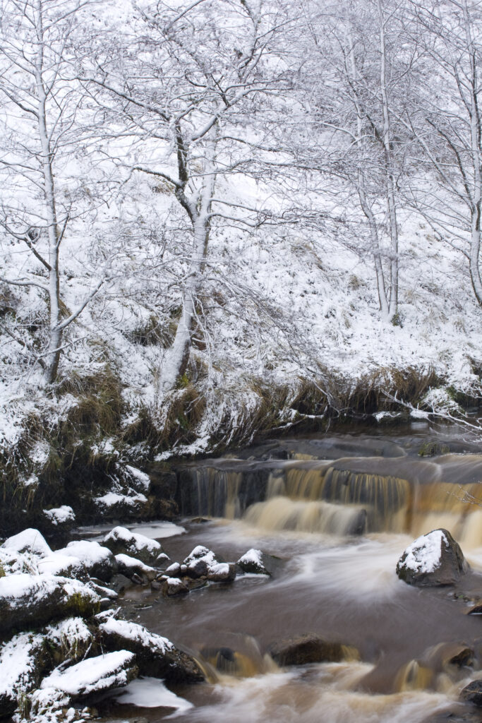
Scotland, Scottish Borders, Liddesdale. A fresh snowfall transforms the humble Whitrope Burn.
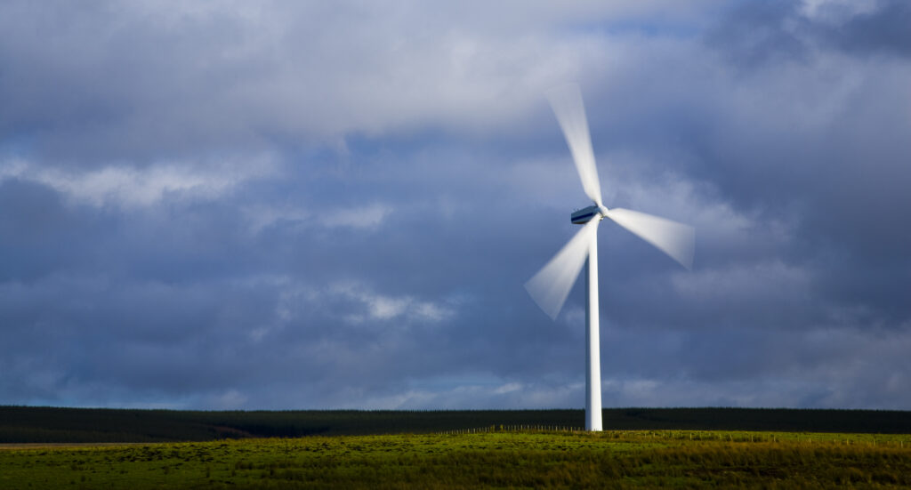
Scotland, Scottish Borders, Dun Law. Wind Farms are a controversial new feature to be increasingly found within the Scottish landscape. This wind turbine is part of the Dun Law wind farm located at the western end of the Lammermuir Hills.
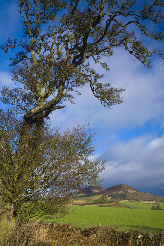
Scotland, Scottish Borders, Eildon Hills. The shape of a lone tree sculptured by the wind, with agriculture land and the famous Eildon hills in the distance.
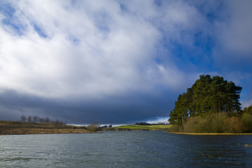
Scotland, Scottish Borders, Lindean Loch. Dramatic skies over Lindean Loch, Whitlaw Mosses National Nature Reserve.
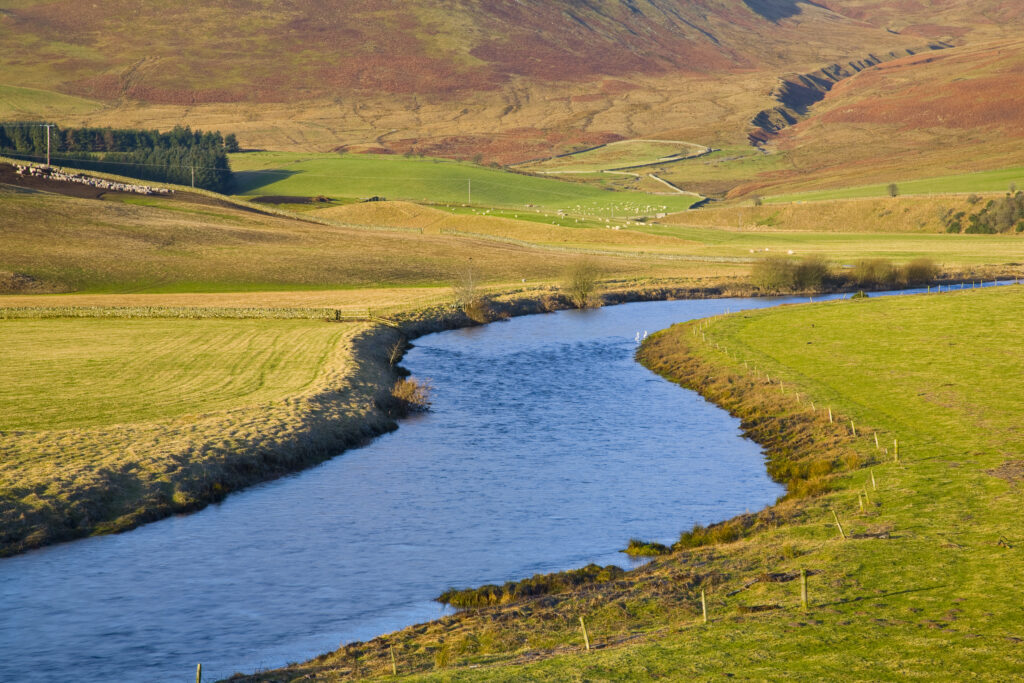
Scotland, Scottish Borders, Ettrick Valley. The gentle curve of Ettrick water through farmland in the Ettrick Valley.
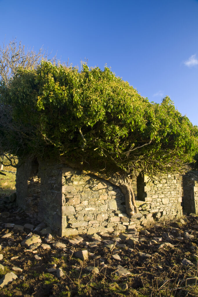
Scotland, Scottish Borders, Ettrick Valley. Nature begins to reclaim a disused stone farm building in the Ettrick Valley.
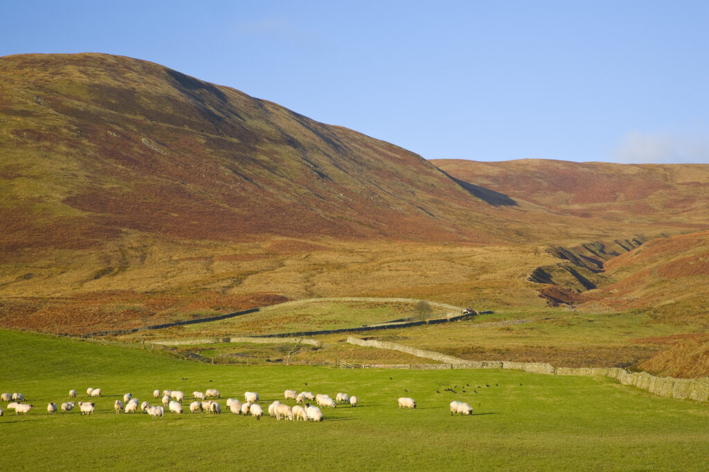
Scotland, Scottish Borders, Ettrick Valley. Sheep grazing on pasture land in the Ettrick Valley.
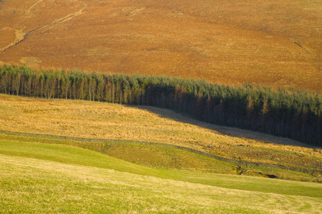
Scotland, Scottish Borders, Ettrick Valley. Forest plantation sandwiched between moors and land used for agriculture purposes.
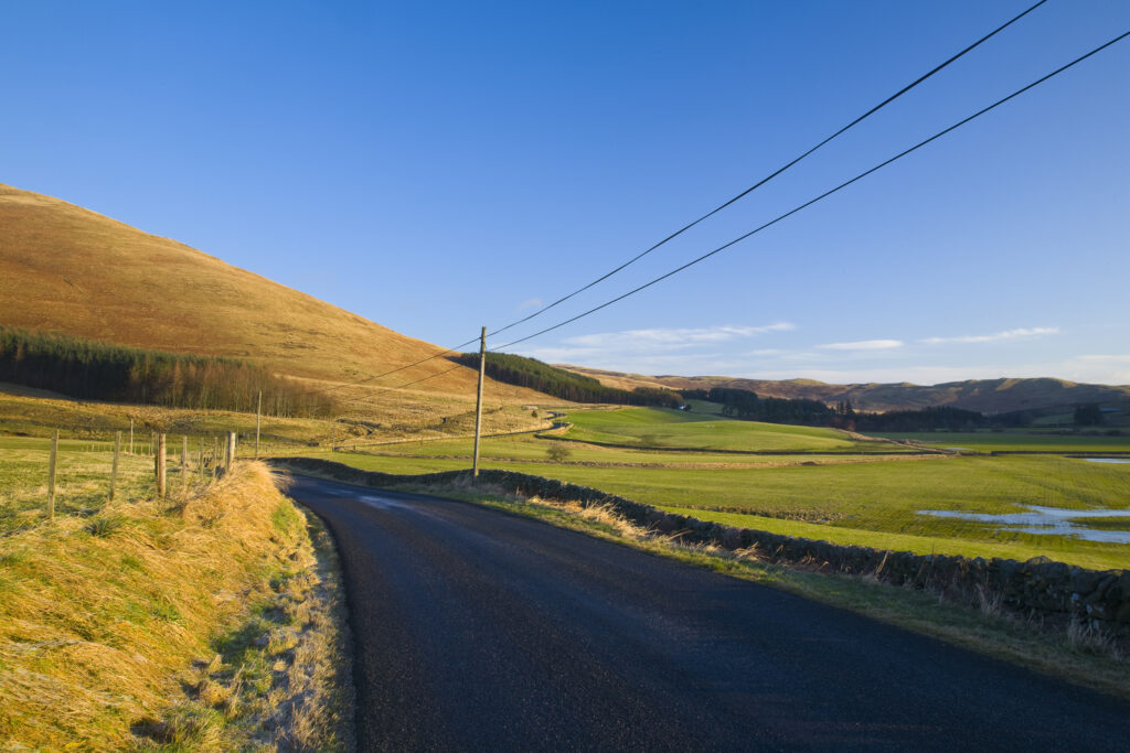
Scotland, Scottish Borders, Ettrick Valley. The B 7009 heading towards Selkirk meanders through picturesque borders scenery.
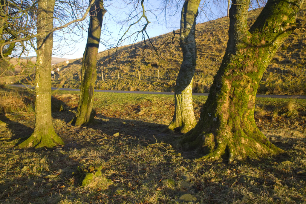
Scotland, Scottish Borders. Gentle morning light bathes a small pocket of woodland near the Ettrick Valley.
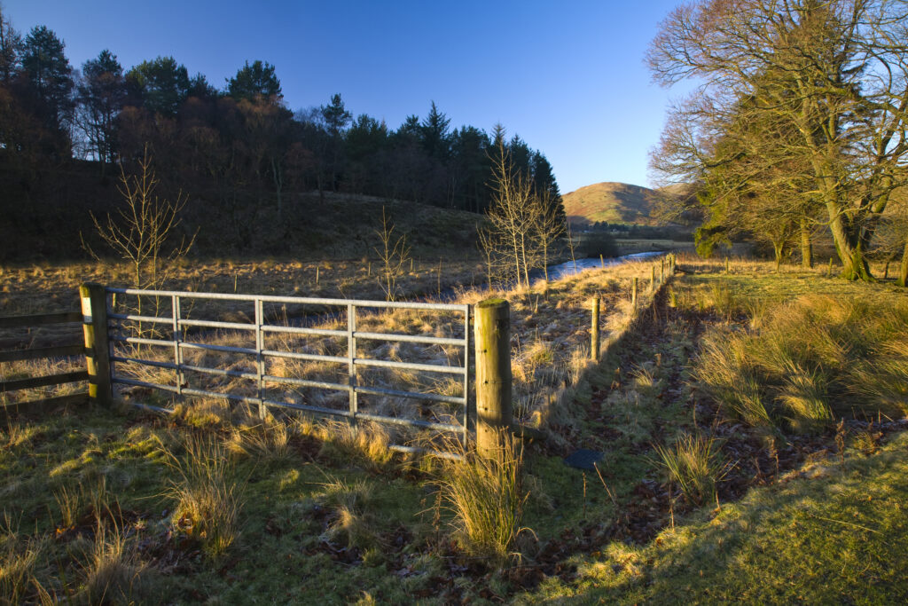
Scotland, Scottish Borders. Typical borders scene of farmland, plantation and rolling upland hills near the Ettrick Valley.
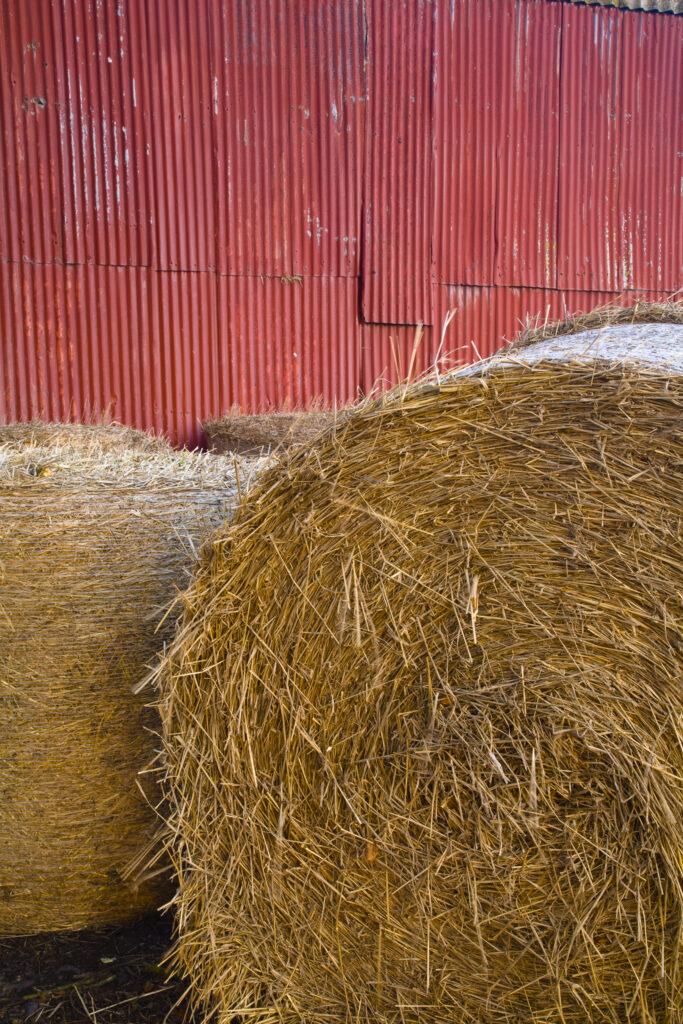
Scotland, Scottish Borders, Duns. Hay bales stacked outside a barn near Duns.
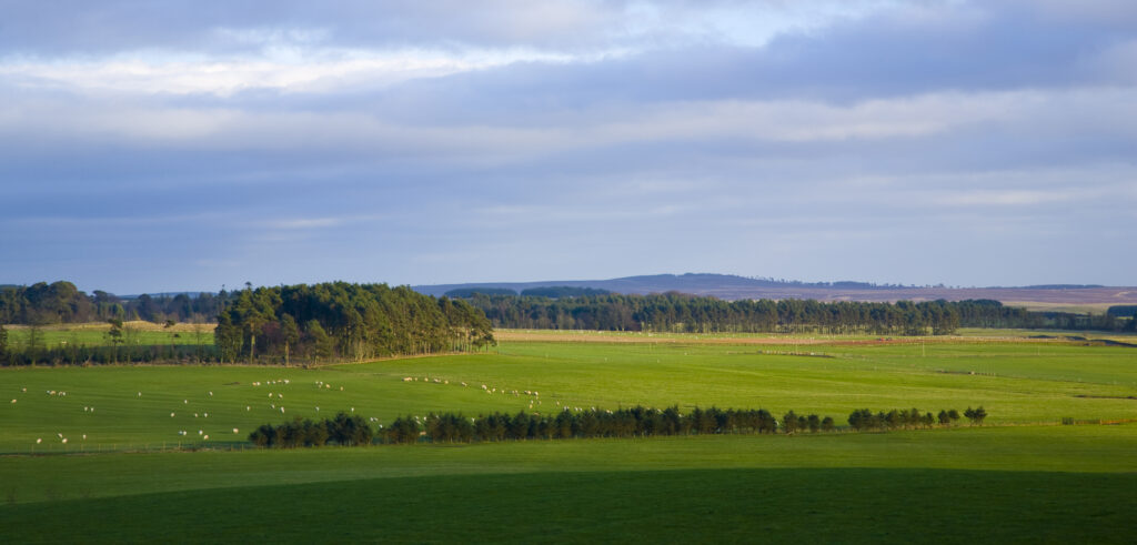
Scotland, Scottish Borders, Harelaw Moor. Panoramic view of the Harelaw Moor region.
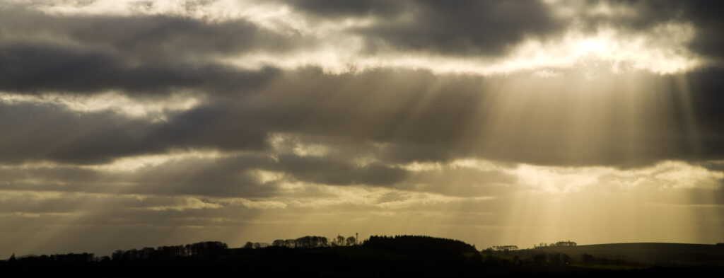
Scotland, Scottish Borders, Harelaw Moor. Shafts of light break through storm clouds near Harelaw Moor.
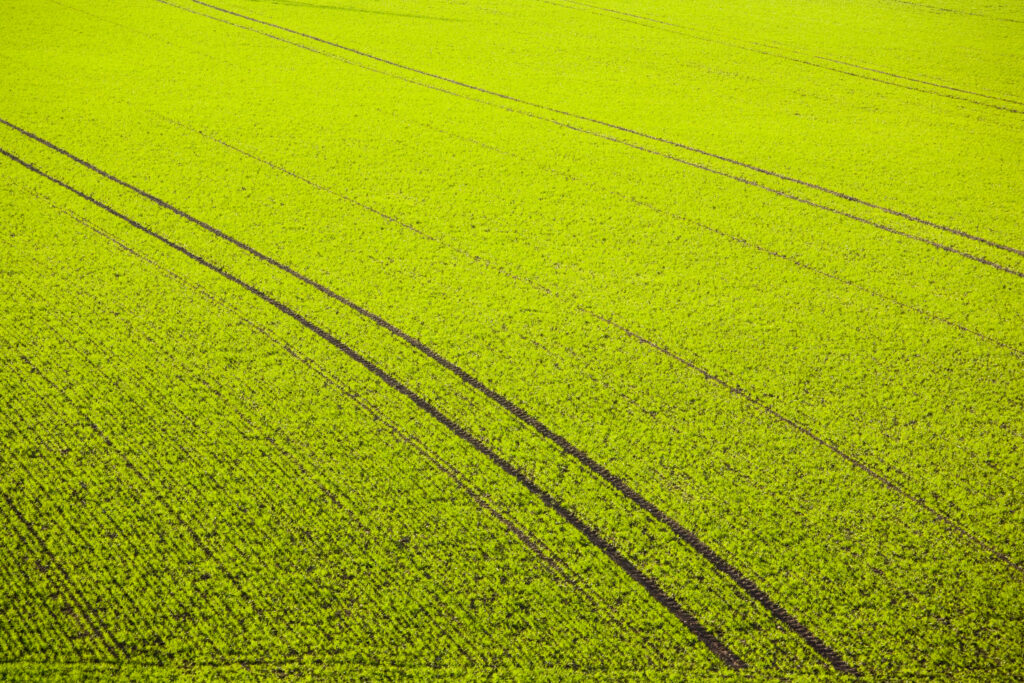
Scotland, Scottish Borders, Hareheugh. Patterns in agriculture land near Hareheugh.
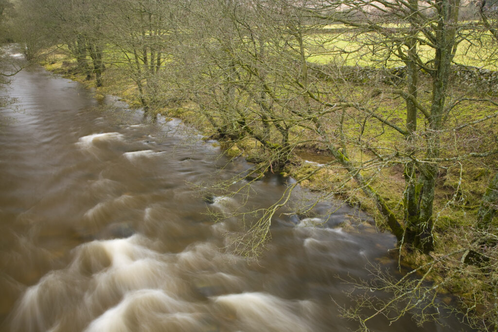
Scotland, Scottish Borders, Hermitage Water. Trees on the banks of the Hermitage Water.
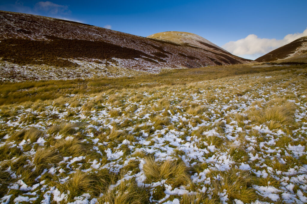
Scotland, Scottish Borders. A sprinkle of snow on the slopes of Leithen Hopes.
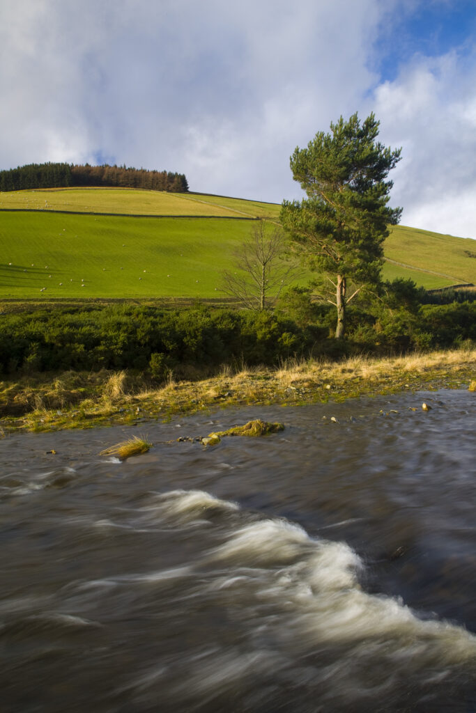
Scotland, Scottish Borders, Leithen Water. The gentle flowing rapids of Leithen Water.
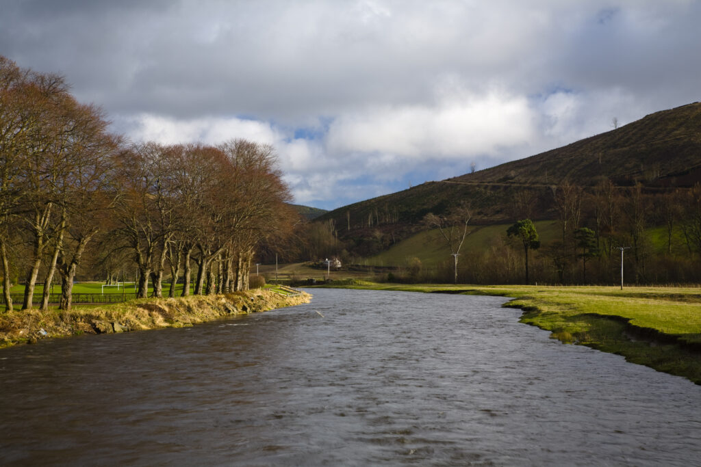
Scotland, Scottish Borders, Tweed Valley. The River Tweed near the small village of Walkerburn in the Tweed Valley.
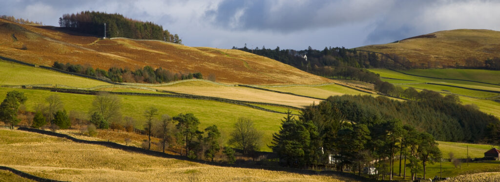
Scotland, Scottish Borders, Tweed Valley.Panoramic view of the Tweed Valley, viewed from near Walkerburn.
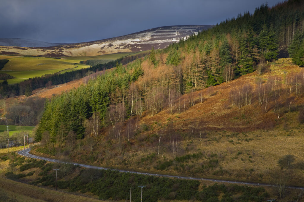
Scotland, Scottish Borders. A breaking storm reveals a dusting of snow on the Moorfoot Hills. The popular Glentress forest can be seen in the foreground.
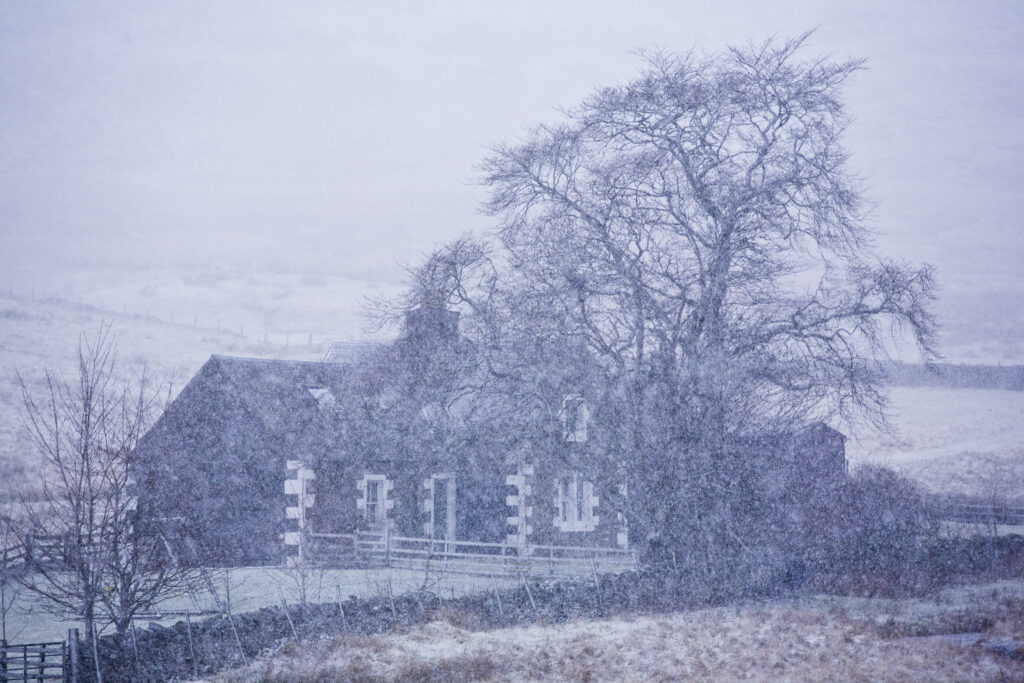
Scotland, Scottish Borders, Glentude Hill. A snow blizzard engulfs a farm house situated near the remote Glenlude Hill.
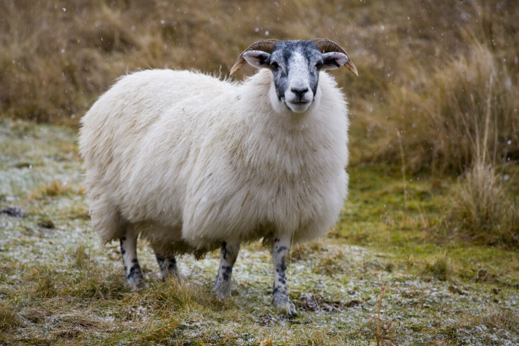
Scotland, Scottish Borders, Sheep near Glentude Hill. A thick coat of wool helps to ensure that grazing sheep can survive the hostile environment of the winter months in the Scottish Borders.
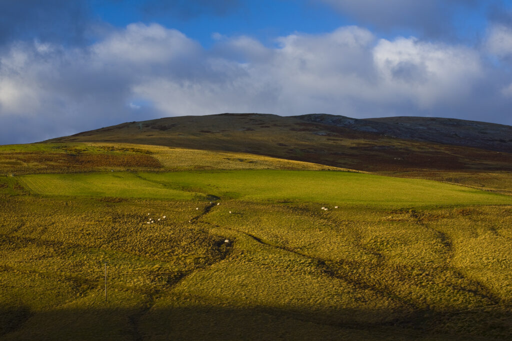
Scotland, Scottish Borders. Sun breaking though a storm highlights the features of the uplands to be found near Blake Muir.
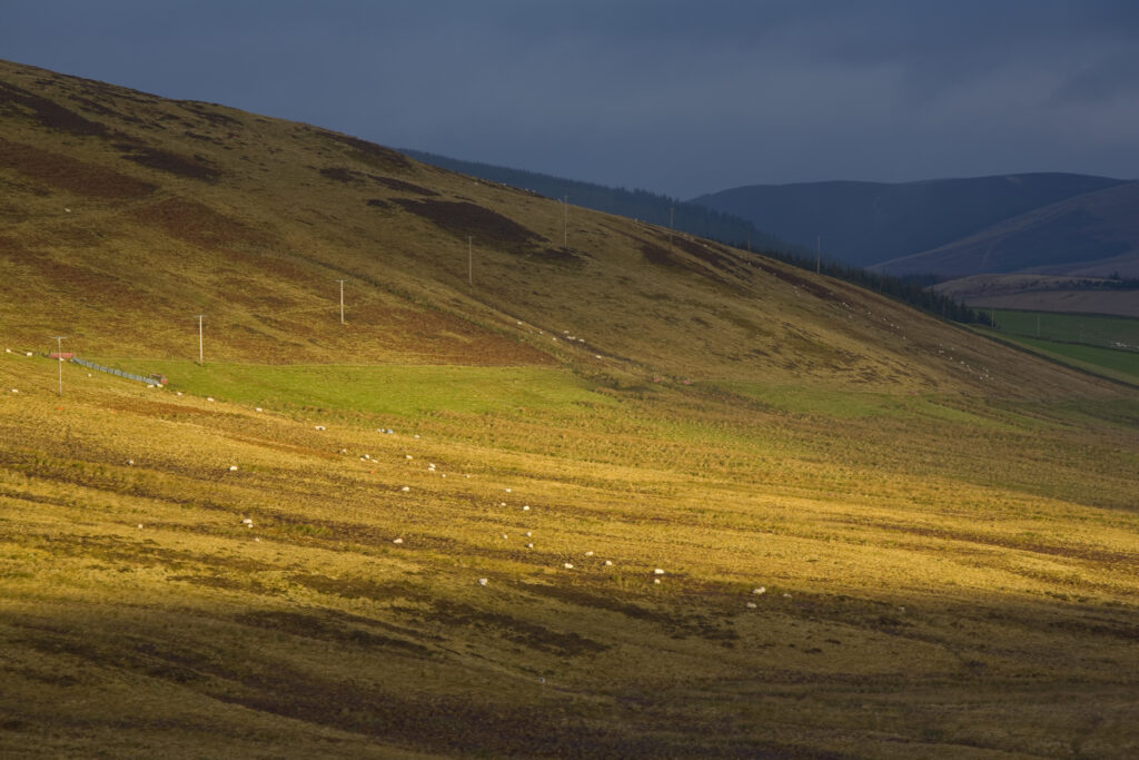
Scotland, Scottish Borders, Fethan Hill. Passing light on the slopes of Fethan Hill.
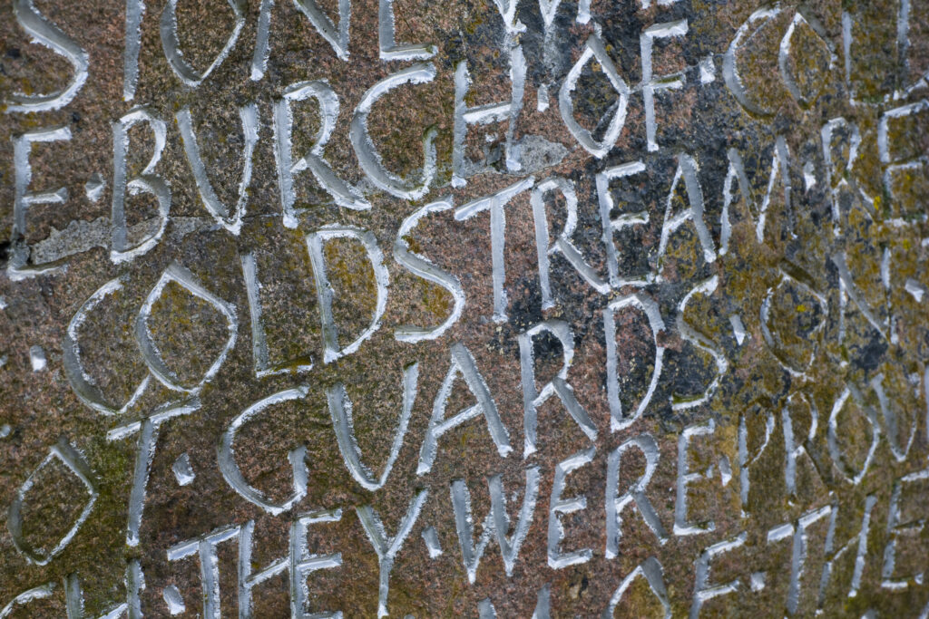
Scotland, Scottish Borders, Coldstream. Inscription on a memorial stone celebrating the formation of the Coldstream Guards.
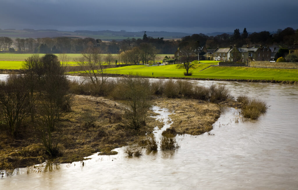
Scotland, Scottish Borders, Coldstream. Looking across the River Tweed, the natural border between England and Scotland.
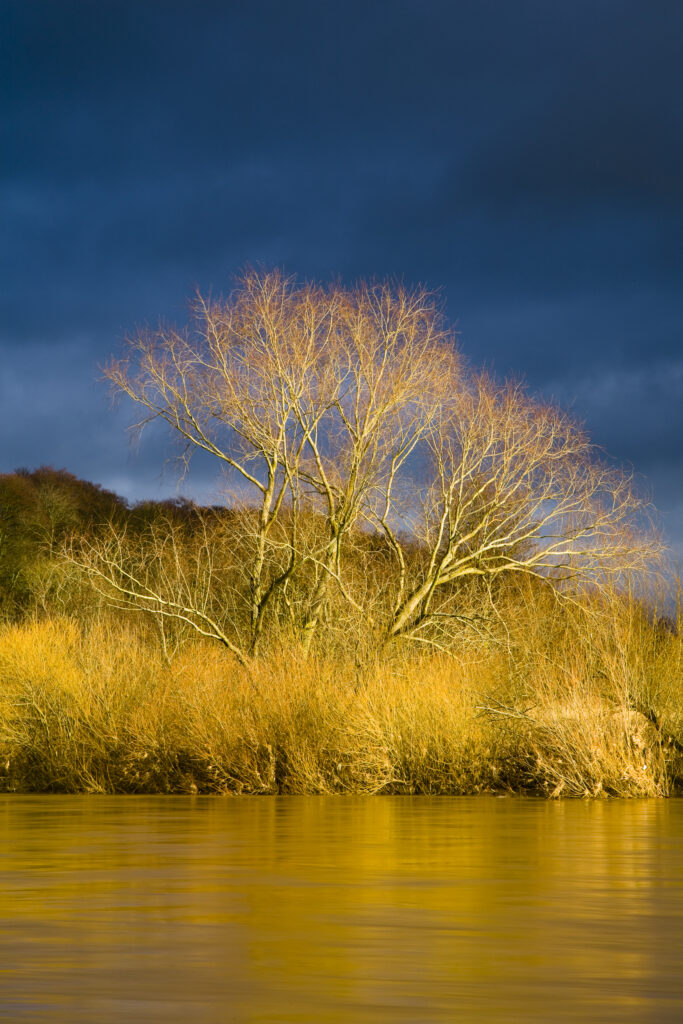
Scotland, Scottish Borders, Coldstream. Breaking light illuminates a tree and reeds on the banks of the River Tweed, against a backdrop of an indigo sky.
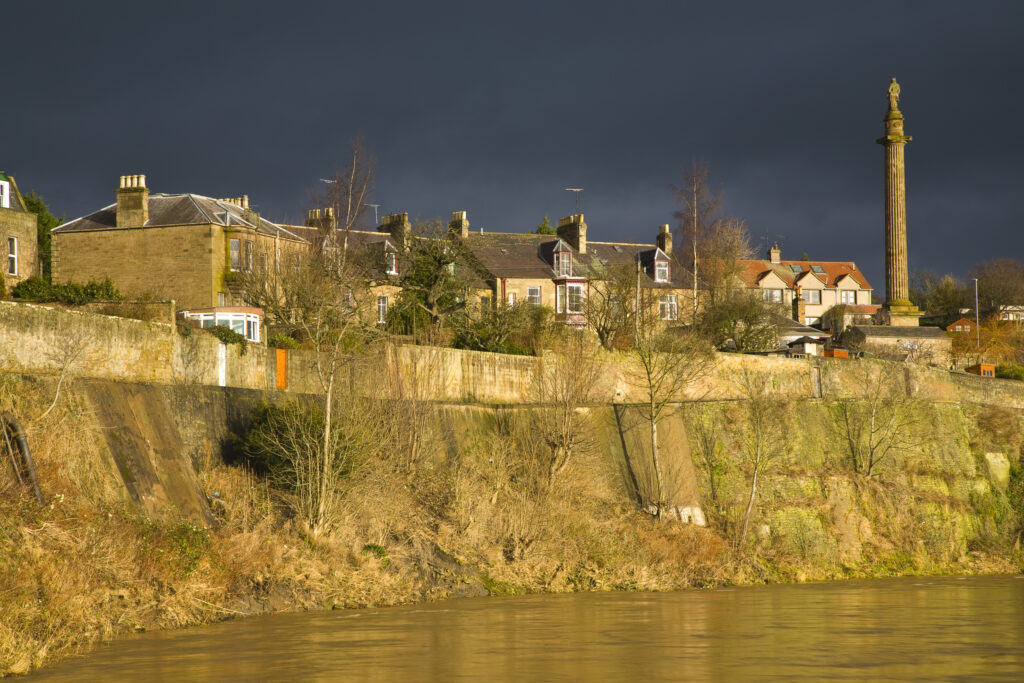
Scotland, Scottish Borders, Coldstream. The town houses and monuments of Coldstream, located on the banks of the River Tweed.
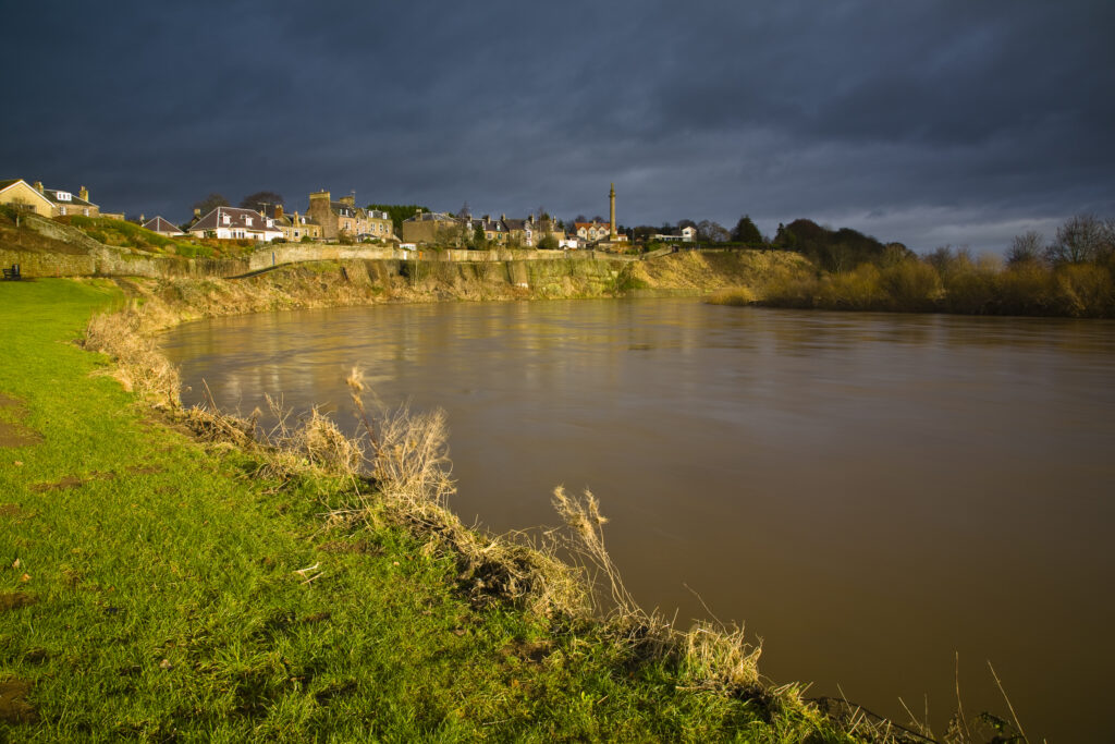
Scotland, Scottish Borders, Coldstream. The River Tweed dominates the landscape near Coldstream, the self proclaimed first true border ‘toon’.
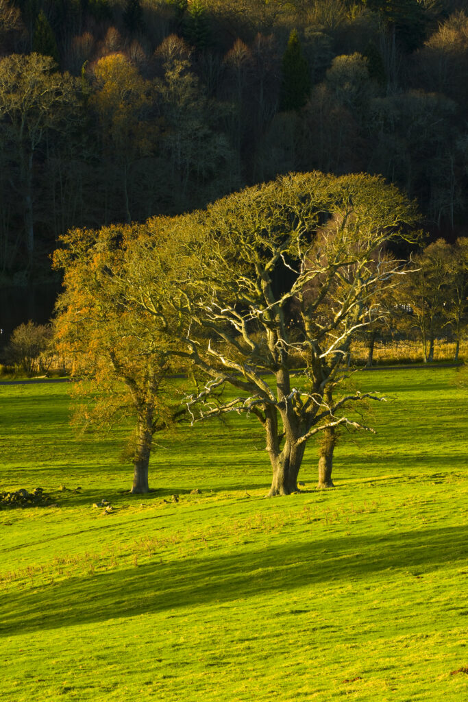
Scotland, Scottish Borders, Duns. A small pocket of woodland near to Duns Castle.
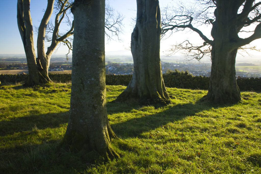
Scotland, Scottish Borders, Duns. A small group of trees located on a hill above the town of Duns, looking north towards England and the Cheviot hills.
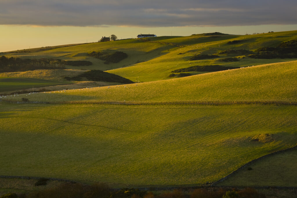
Scotland, Scottish Borders, St Abbs. Farmhouse and fields, looking west from the St Abbs National Nature Reserve.
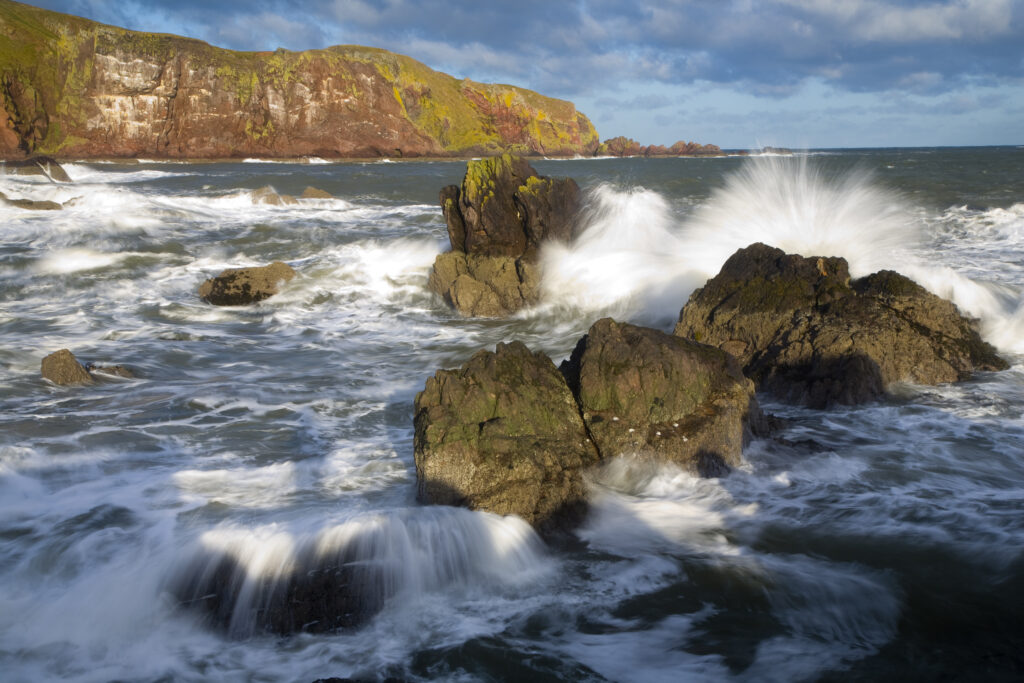
Scotland, Scottish Borders, St Abbs. Winter storms create a huge swell in the North Sea near St Abbs.
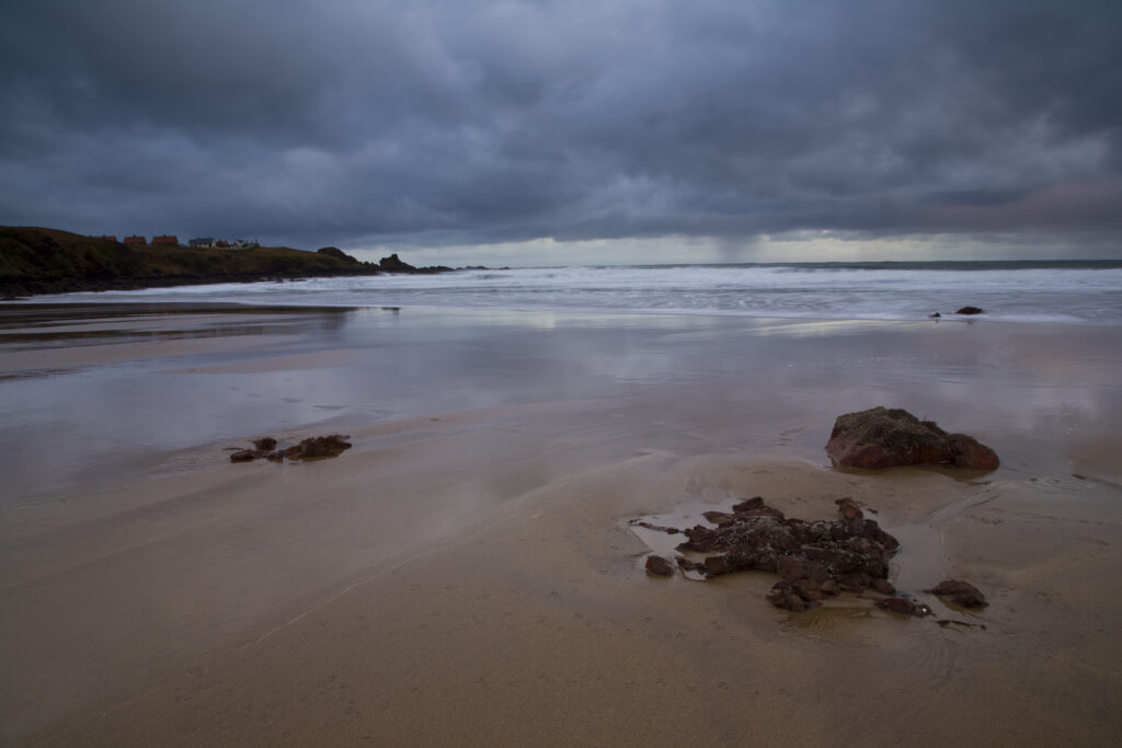
Scotland, Scottish Borders, Coldingham Bay. Storm clouds clear from above the sandy beach to be found at Coldingham Bay.
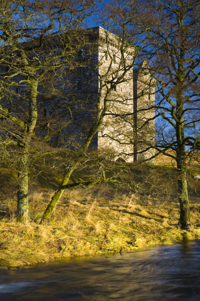
Scotland, Scottish Borders, Hermitage Castle. Hermitage water running in front of the Hermitage Castle. The castle has a somewhat colourful history with numerous stories of war, treason and murder being associated with the property. It was built in an area considered to be a key element in the English and Scottish wars for control over the Liddesdale and the border area.
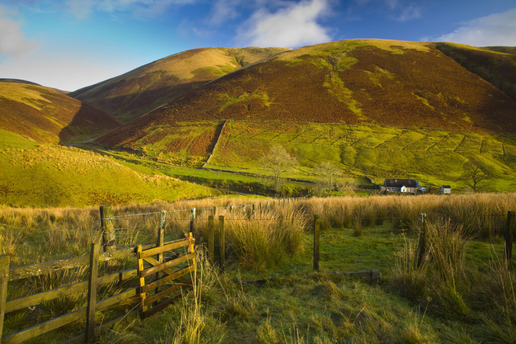
Scotland, Scottish Borders, Liddesdale. Farm gate and undulating scenery near Liddesdale.
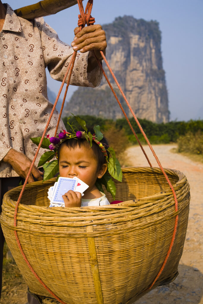
China, Guangxi Zhuang Autonomous Region, Yangshuo County. Young chinese child being carried in an hand woven basket along a rural road running through an agriculture landscape dominated by the Karst peaks of Yangshuo County.
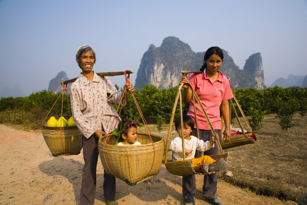
China, Guangxi Zhuang Autonomous Region, Yangshuo County. Two rural farm workers carry fruit and their children in hand woven baskets along a rural road running through an agriculture landscape dominated by the Karst peaks of Yangshuo County.
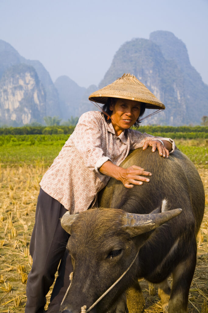
China, Guangxi Zhuang Autonomous Region, Yangshuo County. A chinese farmworker wearing a typical chinese hat, admires her domestic Buffalo which is grazing in an agriculture landscape dominated by the Karst peaks of Yangshuo County.
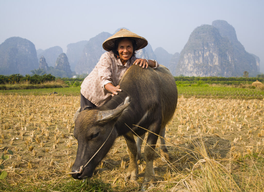
China, Guangxi Zhuang Autonomous Region, Yangshuo County. A chinese farmworker wearing a typical chinese hat, admires her domestic Buffalo which is grazing in an agriculture landscape dominated by the Karst peaks of Yangshuo County.
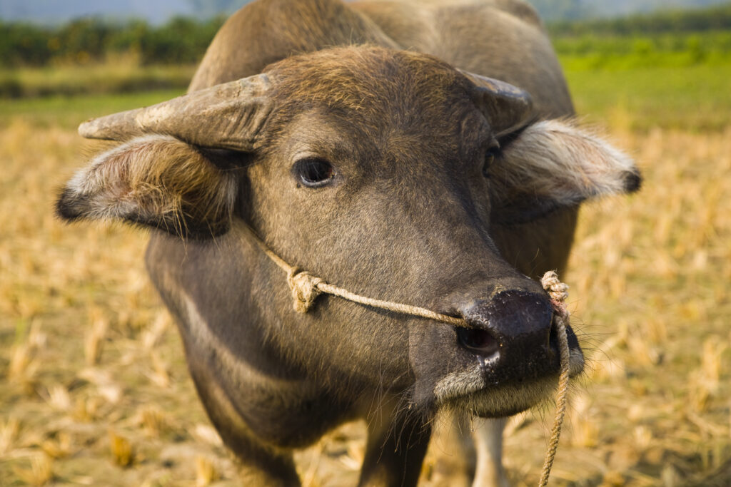
China, Guangxi Zhuang Autonomous Region, Yangshuo County. Domestic Buffalo grazing in an agriculture landscape which is dominated by the Karst peaks of Yangshuo County.
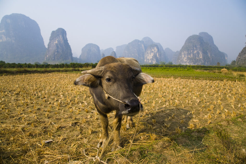
China, Guangxi Zhuang Autonomous Region, Yangshuo County. Domestic Buffalo grazing in an agriculture landscape which is dominated by the Karst peaks of Yangshuo County.
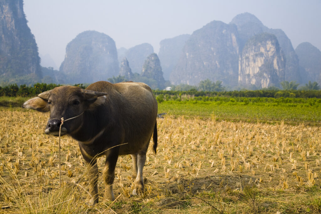
China, Guangxi Zhuang Autonomous Region, Yangshuo County. Domestic Buffalo grazing in an agriculture landscape which is dominated by the Karst peaks of Yangshuo County.
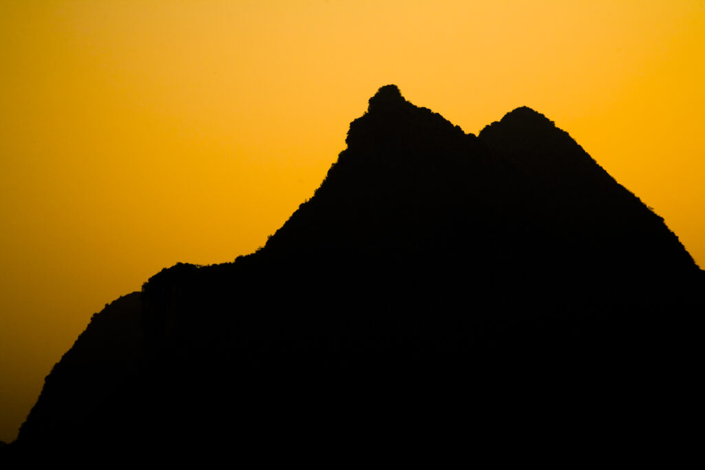
China, Guangxi Zhuang Autonomous Region, Yangshuo County. Sunset behind a karst peak near the town of Yangshuo.
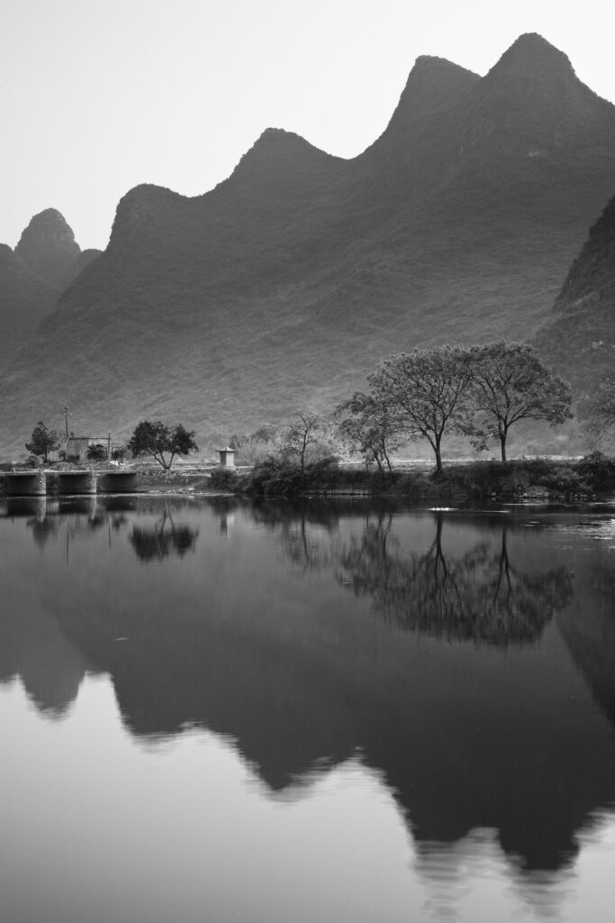
China, Guangxi Zhuang Autonomous Region, Yangshuo County. The Li River and karst peaks near the town of Yangshuo.
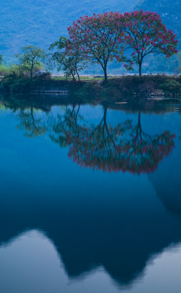
China, Guangxi Zhuang Autonomous Region, Yangshuo County. The Li River and karst peaks near the town of Yangshuo.
Favourites
Photofeed
