
Your search for “ir” returned 4368 images.
Clear Search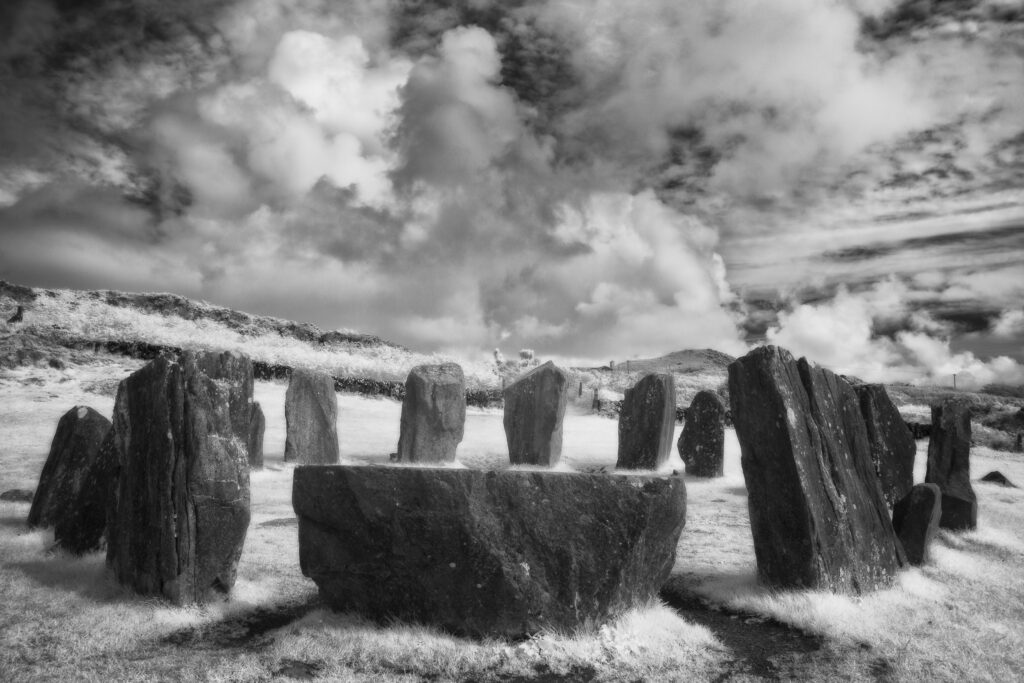
Drombeg Stone Circle, County Cork. This image was photographed for the Legacy project, a fascinating not-for-profit endeavour to capture the mystifying stone remains of prehistoric sites scattered across the British Isles. Please visit www.thelegacyproject.org.uk for more information.
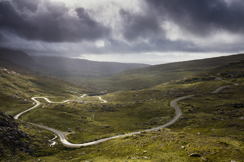
Republic of Ireland, County Cork, Healy Pass. The serpentine R574 road viewed from Healy Pass, a mountain pass in the Caha mountain range, located in the Beara peninsula.
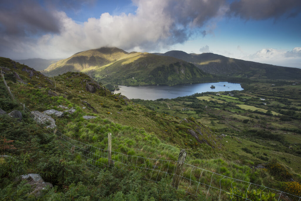
Republic of Ireland, County Kerry, Healy Pass. Glanmore Lake viewed from Healy Pass, a mountain pass in the Caha mountain range, located in the Beara peninsula.
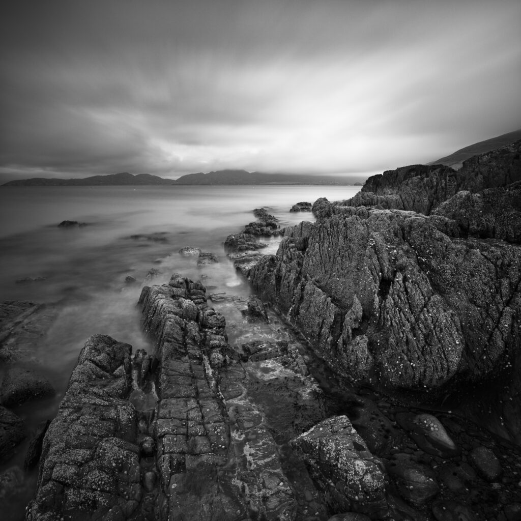
Republic of Ireland, County Cork, Garinish Beach. The dramatic coastline near Garinish located on the Beara Peninsula.
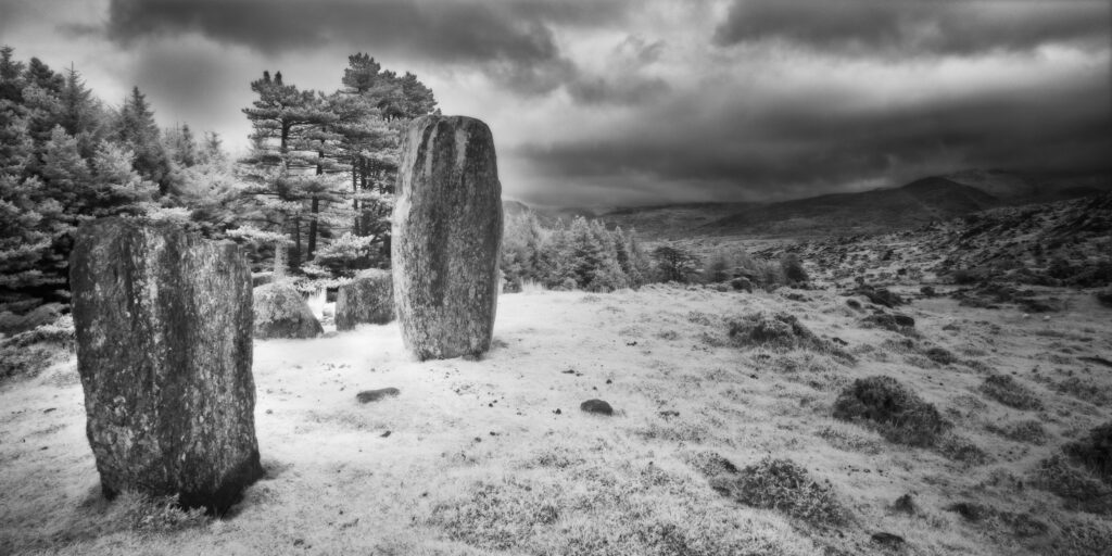
Cashelkeelty Stone Circle, County Kerry. This image was photographed for the Legacy project, a fascinating not-for-profit endeavour to capture the mystifying stone remains of prehistoric sites scattered across the British Isles. Please visit www.thelegacyproject.org.uk for more information.
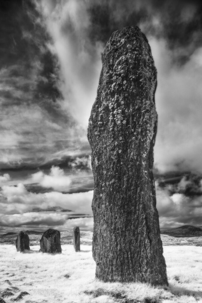
Kealkil Stone Circle, County Cork. This image was photographed for the Legacy project, a fascinating not-for-profit endeavour to capture the mystifying stone remains of prehistoric sites scattered across the British Isles. Please visit www.thelegacyproject.org.uk for more information.
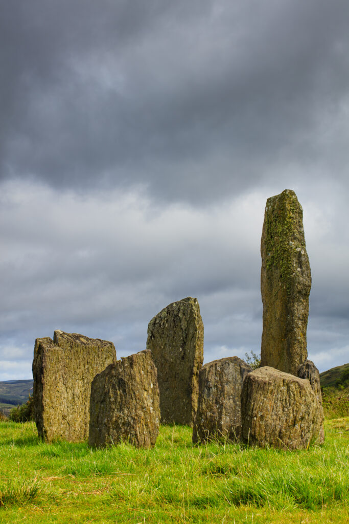
Republic of Ireland, County Cork, Kealkil Stone Circle. The prehistoric site of Kealkil consists of a small five stone circle and two large monoliths.
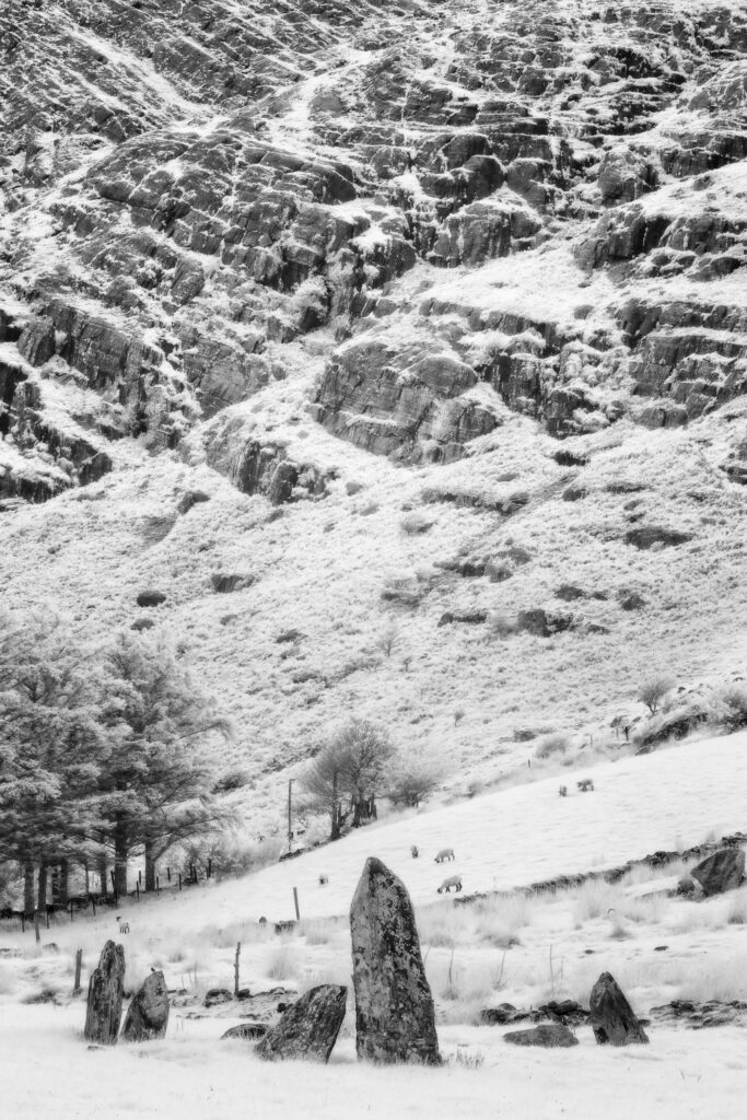
Shronebirrane Stone Circle, County Kerry. This image was photographed for the Legacy project, a fascinating not-for-profit endeavour to capture the mystifying stone remains of prehistoric sites scattered across the British Isles. Please visit www.thelegacyproject.org.uk for more information.
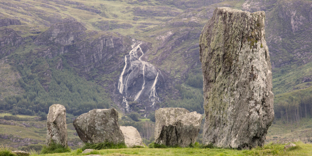
Republic of Ireland, County Kerry, Uragh Stone Circle. Waterfall behind the prehistoric Uragh Stone Circle which is located between Lough Inchiquin and Lough Cloonee in Gleninchiquin Park, on the Beara Peninsula.
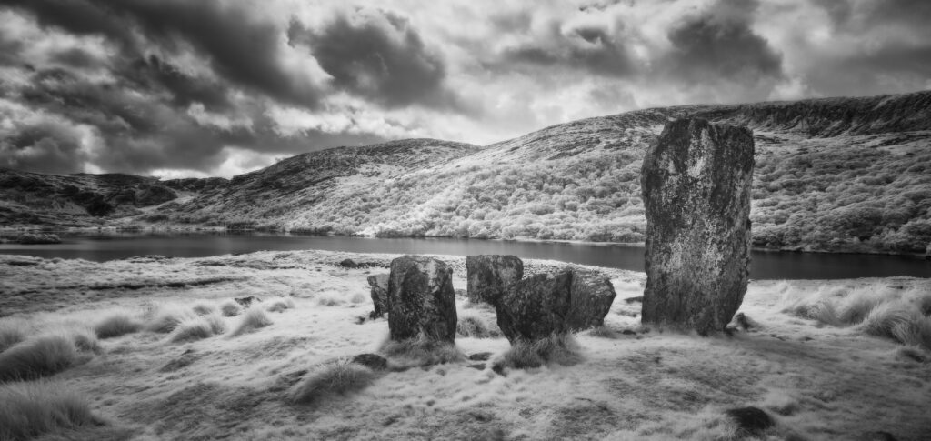
Uragh Stone Circle, County Kerry. This image was photographed for the Legacy project, a fascinating not-for-profit endeavour to capture the mystifying stone remains of prehistoric sites scattered across the British Isles. Please visit www.thelegacyproject.org.uk for more information.
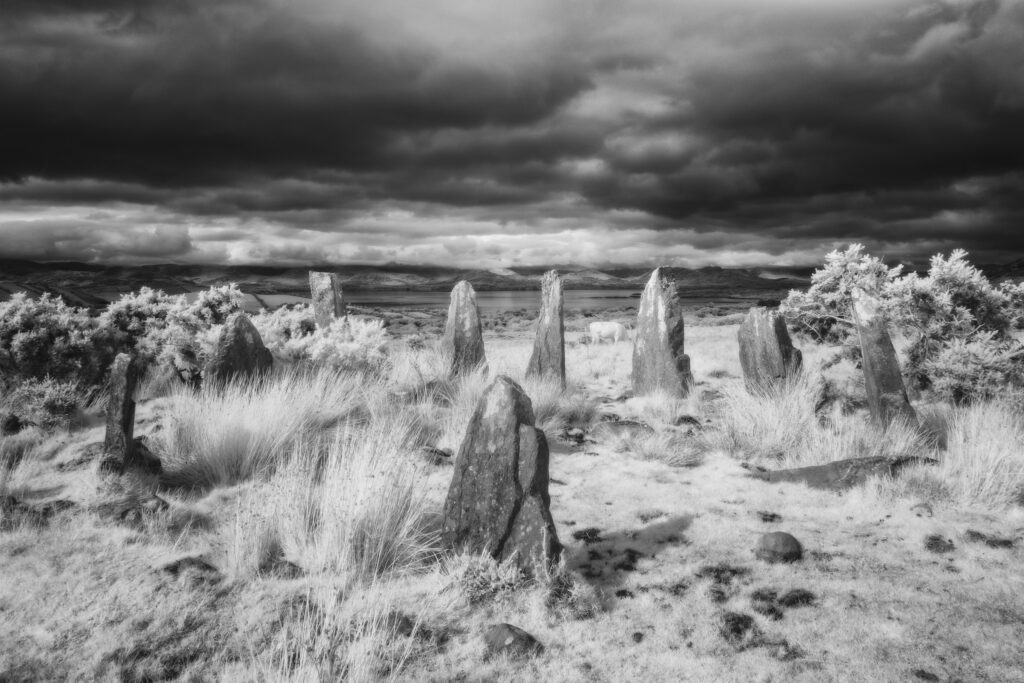
Ardgroom Stone Circle, County Cork. This image was photographed for the Legacy project, a fascinating not-for-profit endeavour to capture the mystifying stone remains of prehistoric sites scattered across the British Isles. Please visit www.thelegacyproject.org.uk for more information.
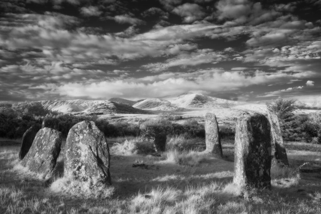
Derreenataggart Stone Circle, County Cork. This image was photographed for the Legacy project, a fascinating not-for-profit endeavour to capture the mystifying stone remains of prehistoric sites scattered across the British Isles. Please visit www.thelegacyproject.org.uk for more information.
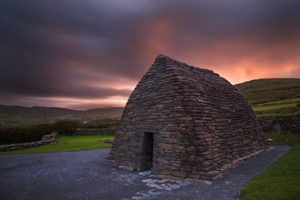
Republic of Ireland, County Kerry, Gallarus Oratory. Gallarus Oratory, an early Christian church located on the Dingle Peninsula in the Republic of Ireland.
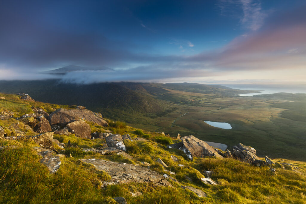
Republic of Ireland, County Kerry, Conor Pass. Early morning view from Connor Hill looking towards Brandon Peak and Brandon Bay on the Dingle Peninsula.
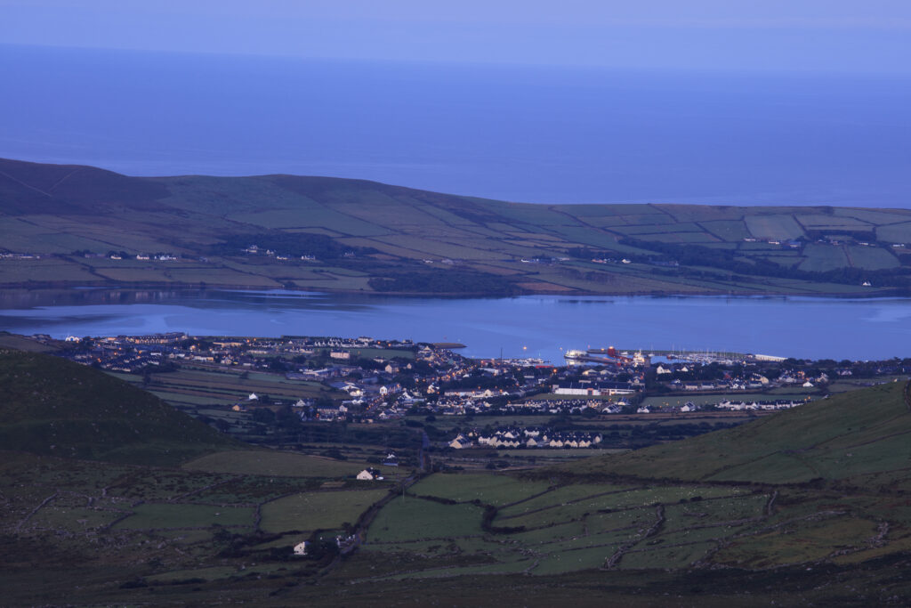
Republic of Ireland, County Kerry, Dingle. Early morning view from Connor Hill on the Conor Pass, looking the coastal town of Dingle on the Dingle Peninsula.
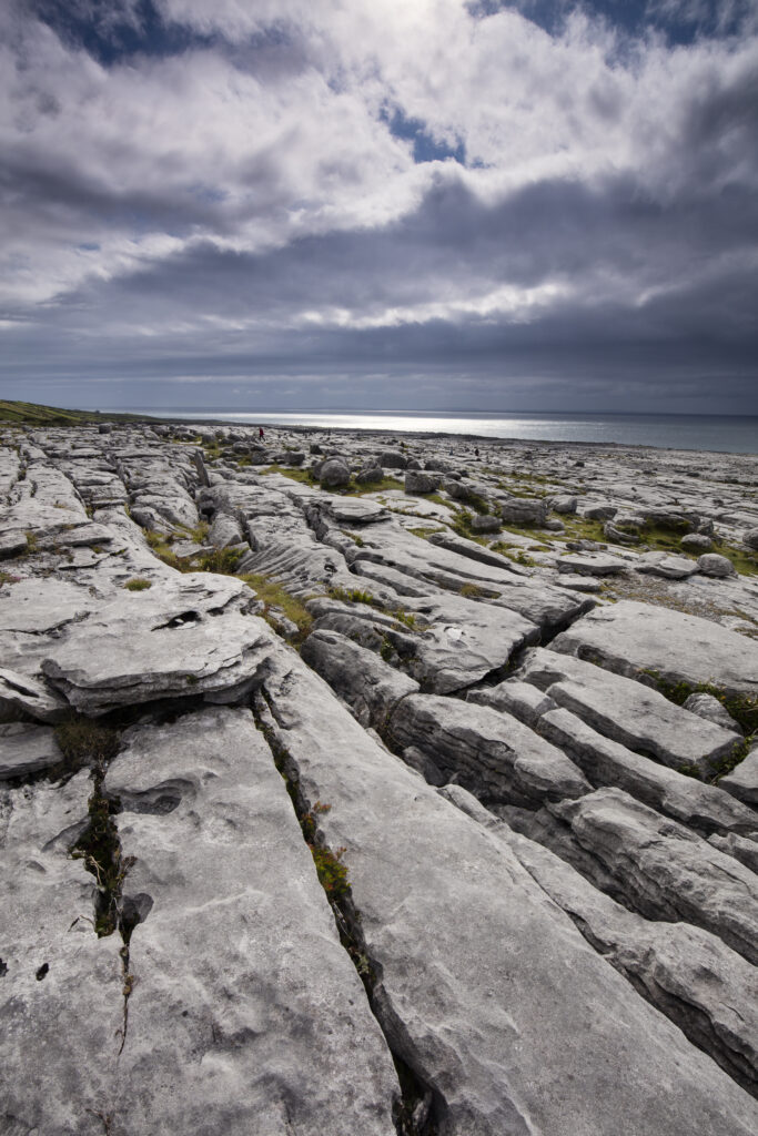
Republic of Ireland, County Clare, The Burren at Black Head. Grike and Clint in the limestone karst-landscape of The Burren near Galway Bay.
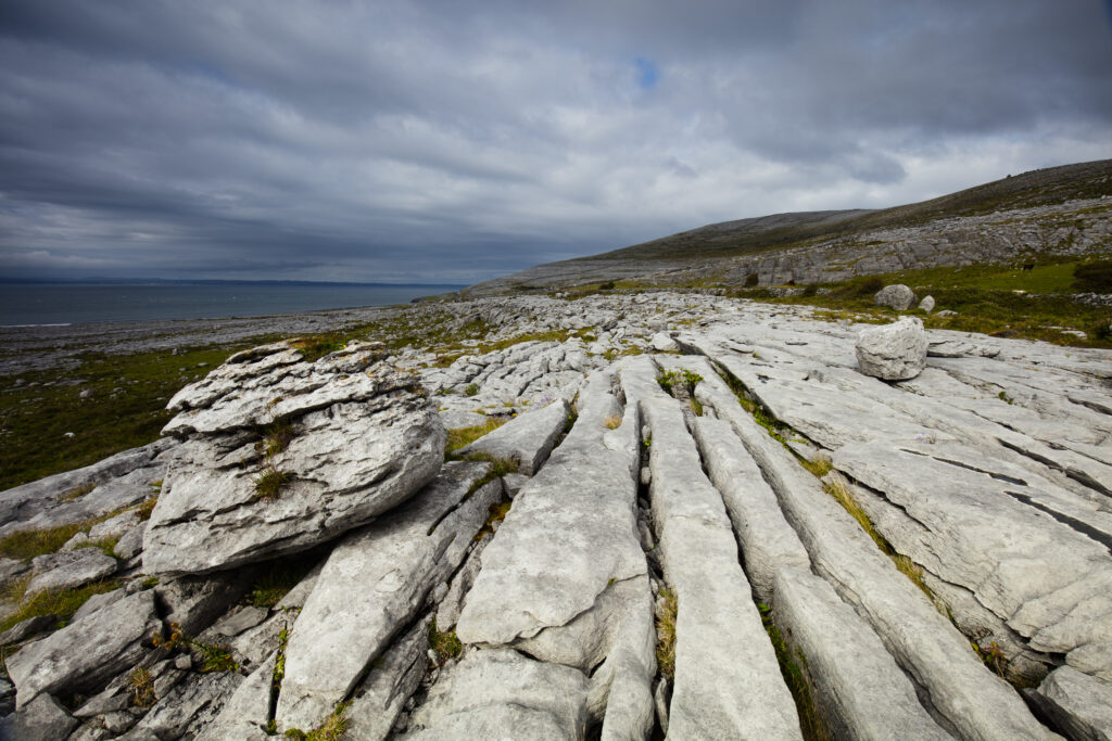
Republic of Ireland, County Clare, The Burren at Black Head. Grike and Clint in the limestone karst-landscape of The Burren near Galway Bay.
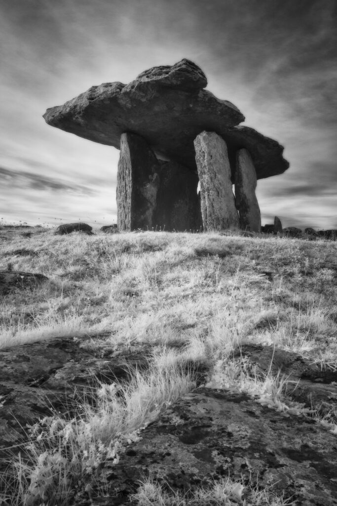
Poulnabrone Dolmen, County Clare. This image was photographed for the Legacy project, a fascinating not-for-profit endeavour to capture the mystifying stone remains of prehistoric sites scattered across the British Isles. Please visit www.thelegacyproject.org.uk for more information.
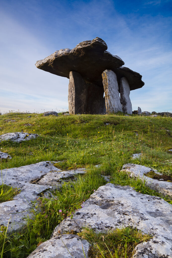
Republic of Ireland, County Clare, Poulnabrone Dolmen. Poulnabrone Portal Dolmen, an ancient stone tomb dating between 2000 – 2500 B.C., situated on limestone pavement in an area know as 'The Burren'.
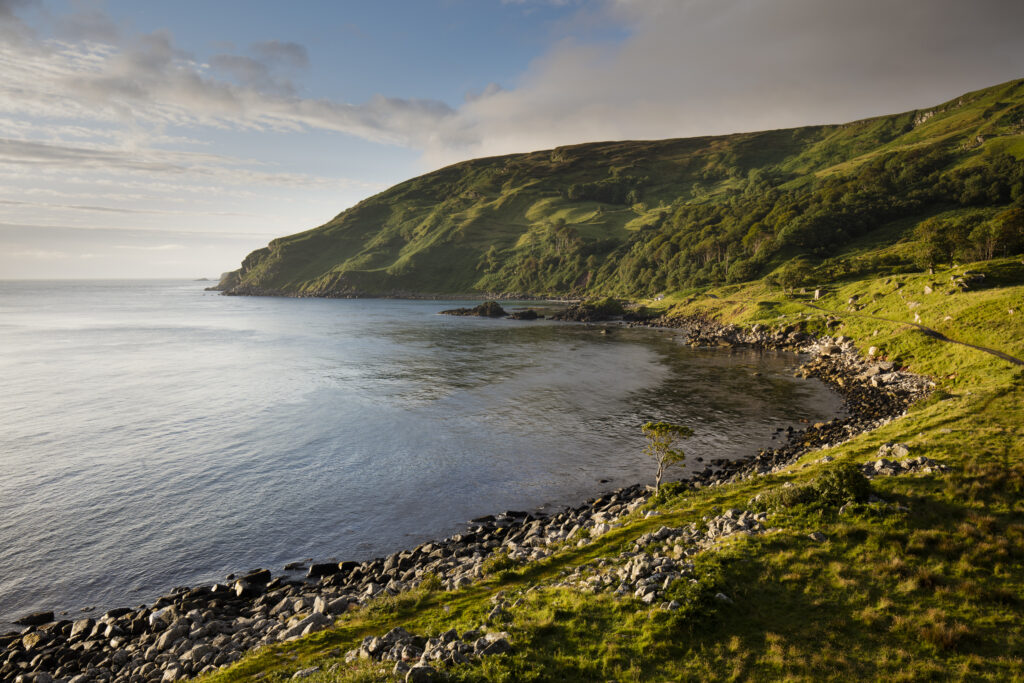
Northern Ireland, Country Antrim, Murlough Bay. Early morning sun illuminates the coastline of Murlough Bay, located near the coastal town of Ballycastle.
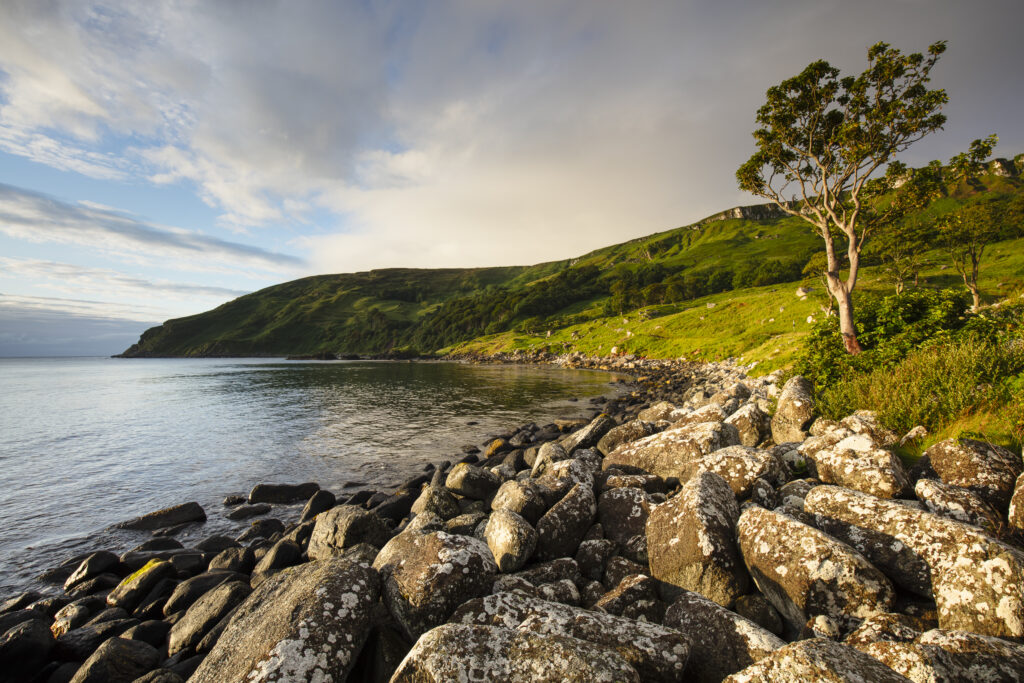
Northern Ireland, Country Antrim, Murlough Bay. Early morning sun illuminates the coastline of Murlough Bay, located near the coastal town of Ballycastle.
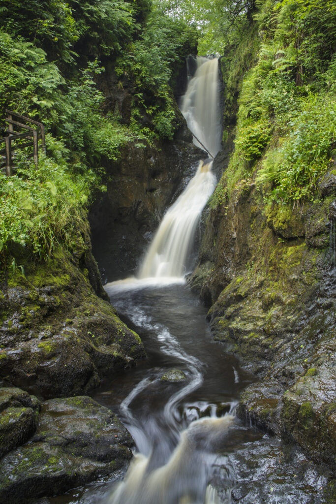
Northern Ireland, Country Antrim, Glenariff Forest Park. Cascade along the historic Glenariff Nature Reserve Waterfalls Walking Trail.
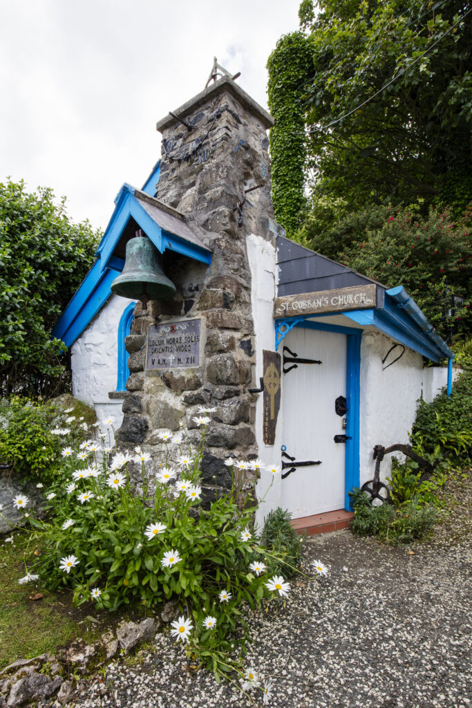
Northern Ireland, Country Antrim, Giant's Causeway. Coast. St Gobban church, located near White Park Bay, is considered to be the smallest church in Ireland.
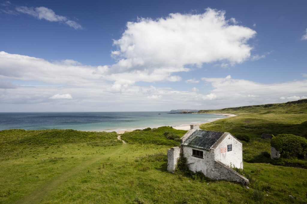
Northern Ireland, Country Antrim, White Park Bay. An abandoned Youth Hostel overlooking White Park Bay part of the Giants Causeway World Heritage Site (UNESCO).
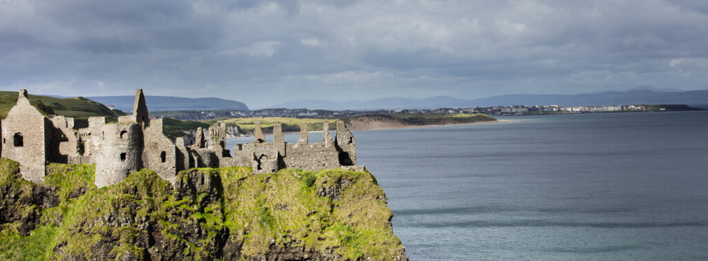
Northern Ireland, Country Antrim, Dunluce Castle. Dunluce Castle, a now-ruined medieval castle located near Giants Causeway.
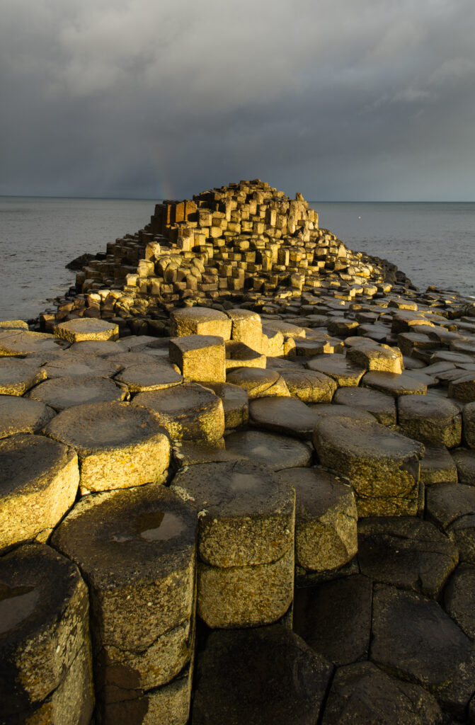
Northern Ireland, Country Antrim, Giant's Causeway. Rainbow behind the hexagonal basalt rock formations of the Wishing Chair, part of the Giant's Causeway Coast World Heritage site.
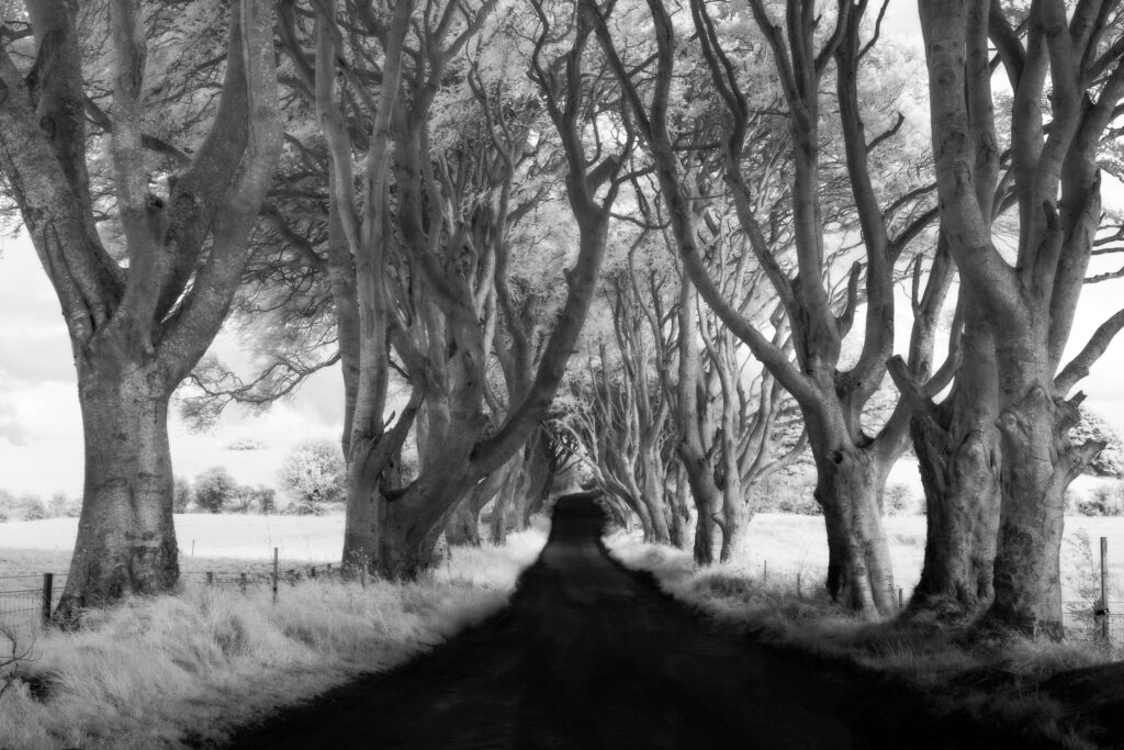
Northern Ireland, Country Antrim, The Dark Hedges. The Dark Hedges are an avenue of beech trees planted by the Stuart family in the eighteenth century, and are now a popular tourist attraction due in part to being used as a location for the filming of "Game of Thrones".
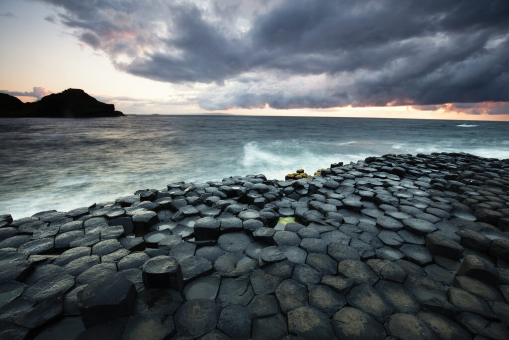
Northern Ireland, Country Antrim, Giant's Causeway. The sun sets behind the hexagonal basalt rock formations of Giant's Causeway Coast World Heritage site.
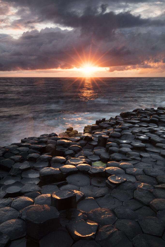
Northern Ireland, Country Antrim, Giant's Causeway. The sun sets behind the hexagonal basalt rock formations of Giant's Causeway Coast World Heritage site.
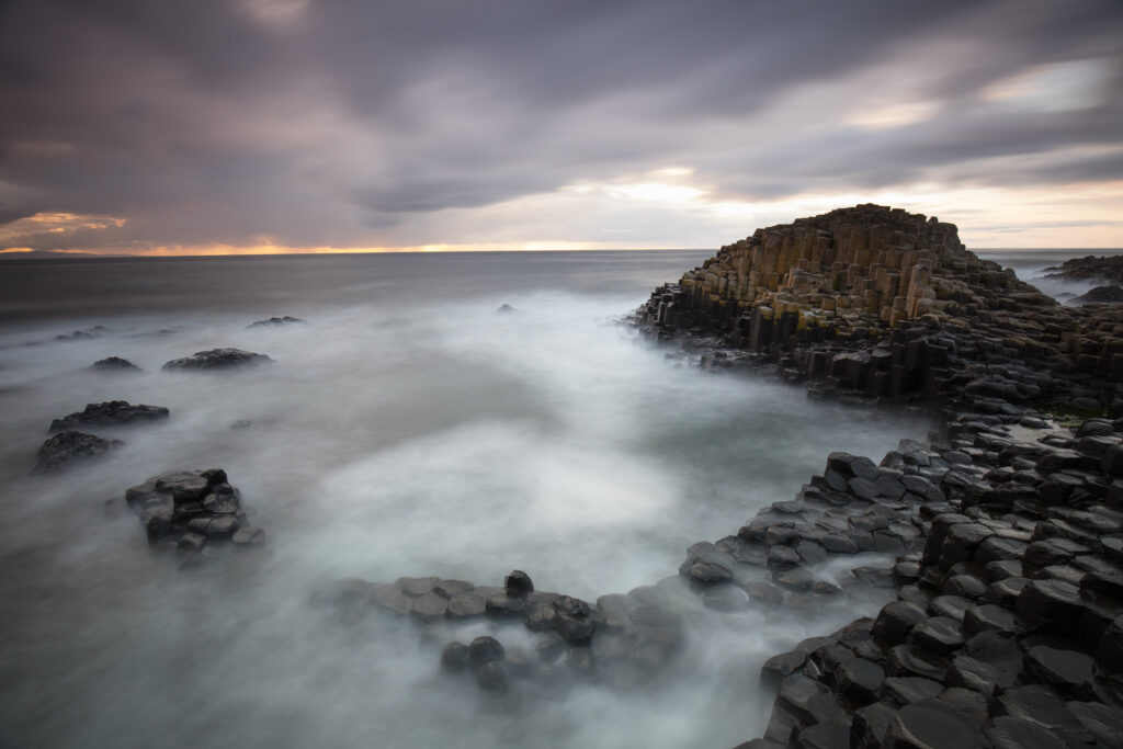
Northern Ireland, Country Antrim, Giant's Causeway. The sun sets behind the hexagonal basalt rock formations of the Wishing Chair, part of the Giant's Causeway Coast World Heritage site.
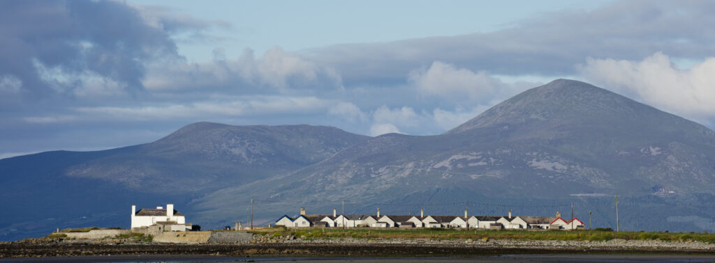
Northern Ireland, County Down, Tyrella Beach. The Mourne Mountains viewed from Tyrella.
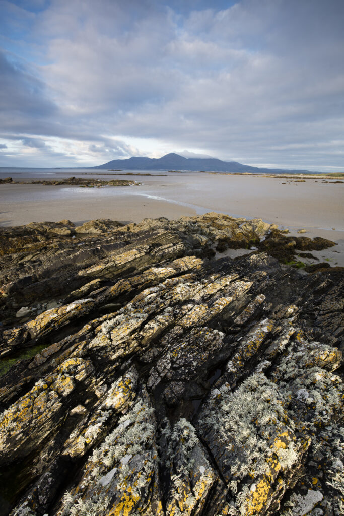
Northern Ireland, County Down, Tyrella Beach. The Mourne Mountains viewed from Tyrella.
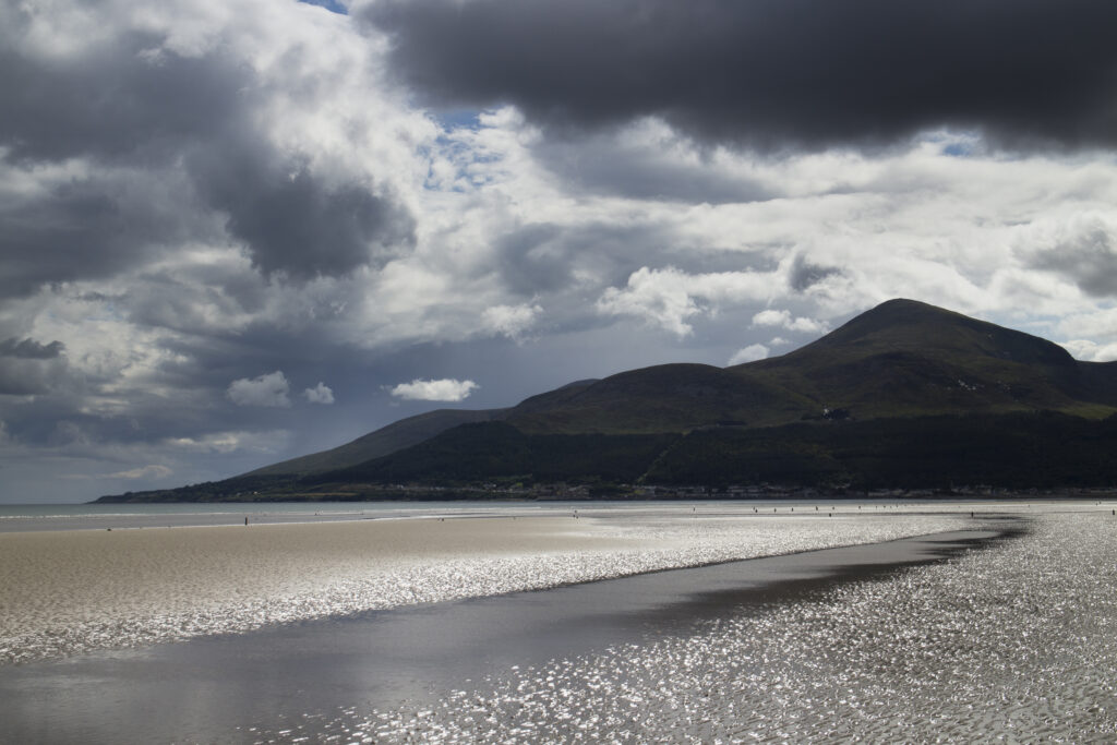
Northern Ireland, County Down, Murlough Beach. Storm clouds above Murlough Bay and the overlooking Mourne Mountains
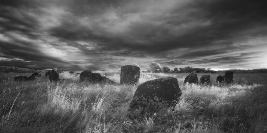
Ballynoe Stone Circle, County Down. This image was photographed for the Legacy project, a fascinating not-for-profit endeavour to capture the mystifying stone remains of prehistoric sites scattered across the British Isles. Please visit www.thelegacyproject.org.uk for more information.
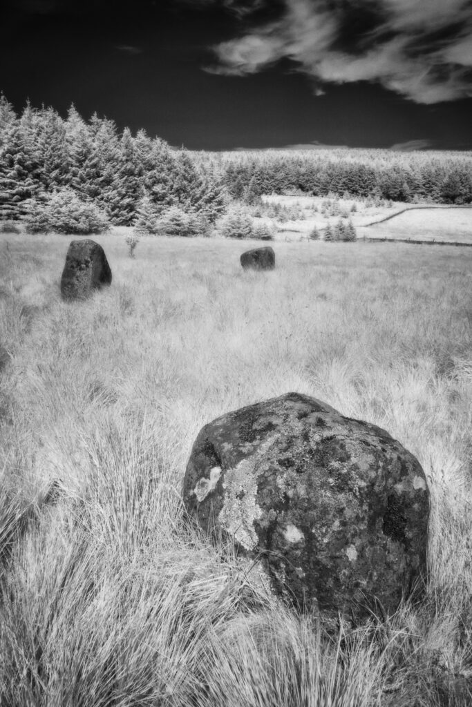
Threestoneburn Stone Circle, Northumberland. This image was photographed for the Legacy project, a fascinating not-for-profit endeavour to capture the mystifying stone remains of prehistoric sites scattered across the British Isles. Please visit www.thelegacyproject.org.uk for more information.
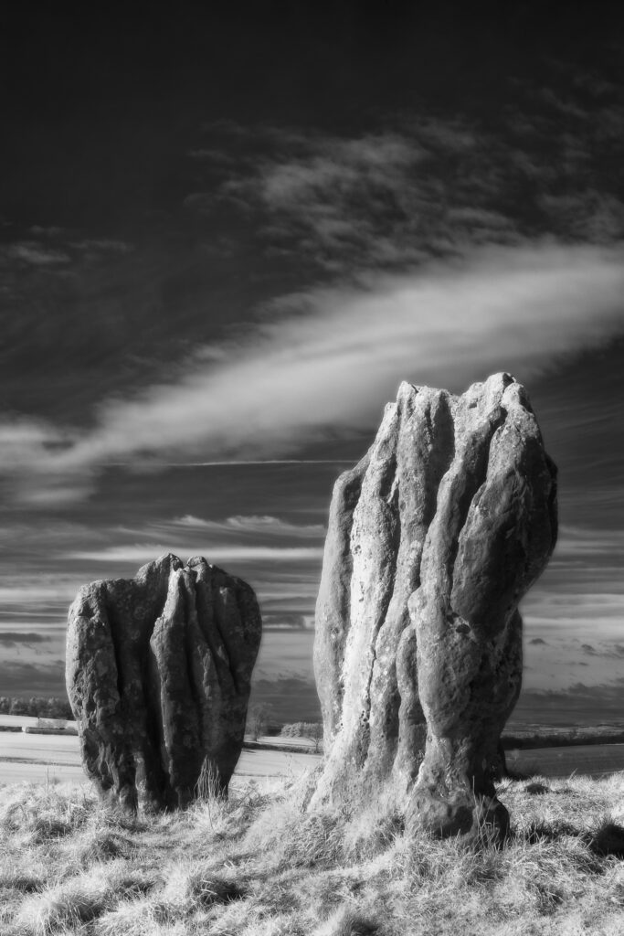
Duddo Five Stones, Northumberland. This image was photographed for the Legacy project, a fascinating not-for-profit endeavour to capture the mystifying stone remains of prehistoric sites scattered across the British Isles. Please visit www.thelegacyproject.org.uk for more information.
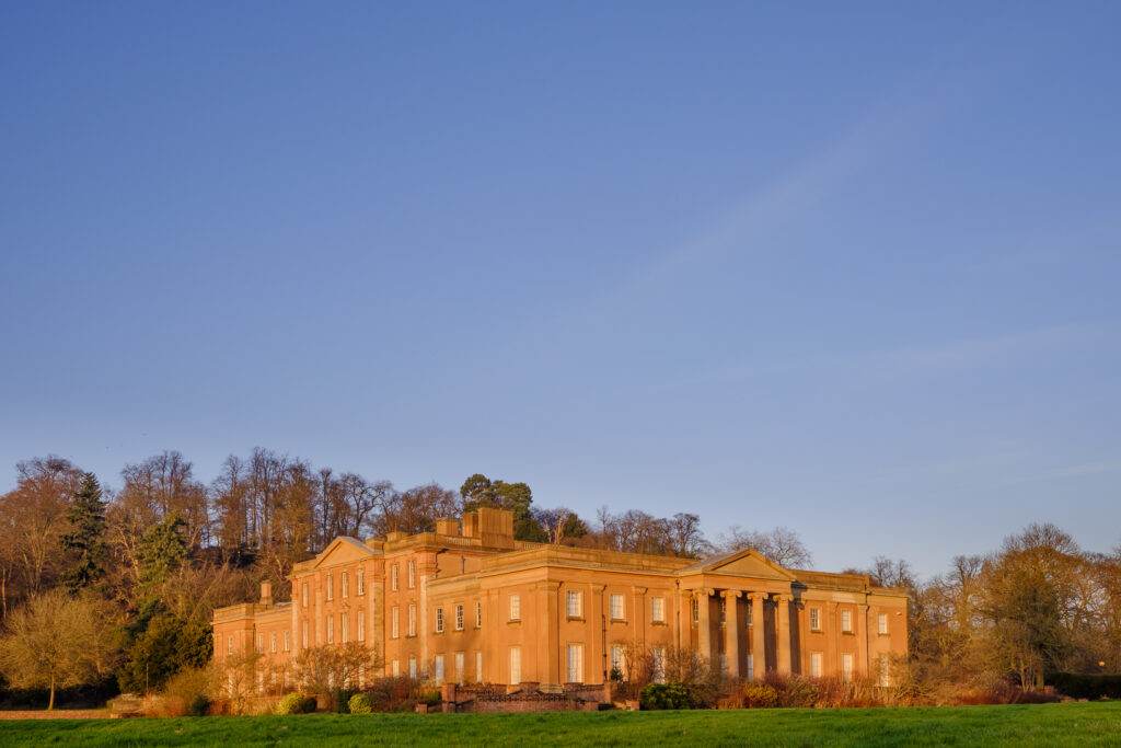
England, Staffordshire, Himley Hall. Himley Hall is a Grade II listed building located in Staffordshire, near to the town of Dudley and the city of Wolverhampton.
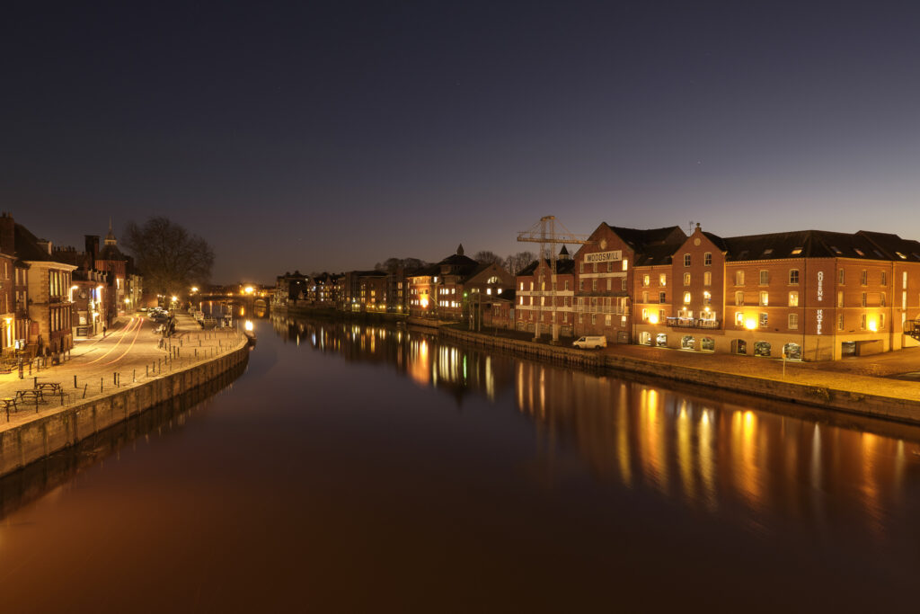
England, North Yorkshire, York City. Woodsmill Quay, Queens Staith and the River Ouse at night.
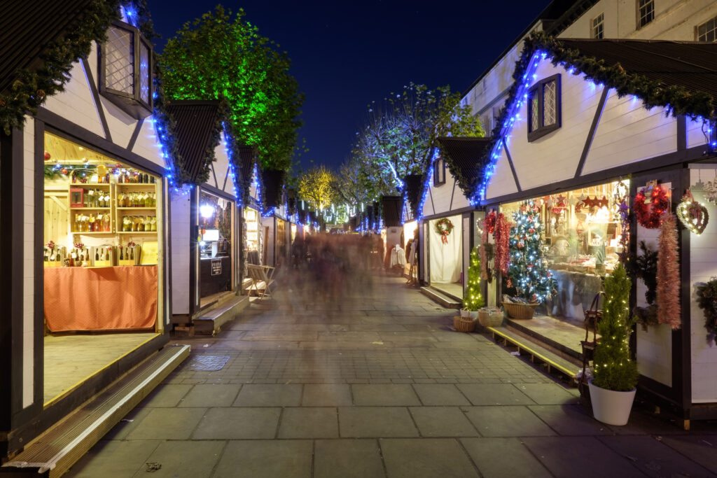
England, North Yorkshire, York City. Christmas Market on Parliament Street.
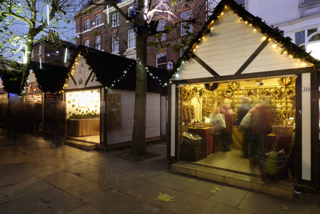
England, North Yorkshire, York City. Christmas Market on Parliament Street.
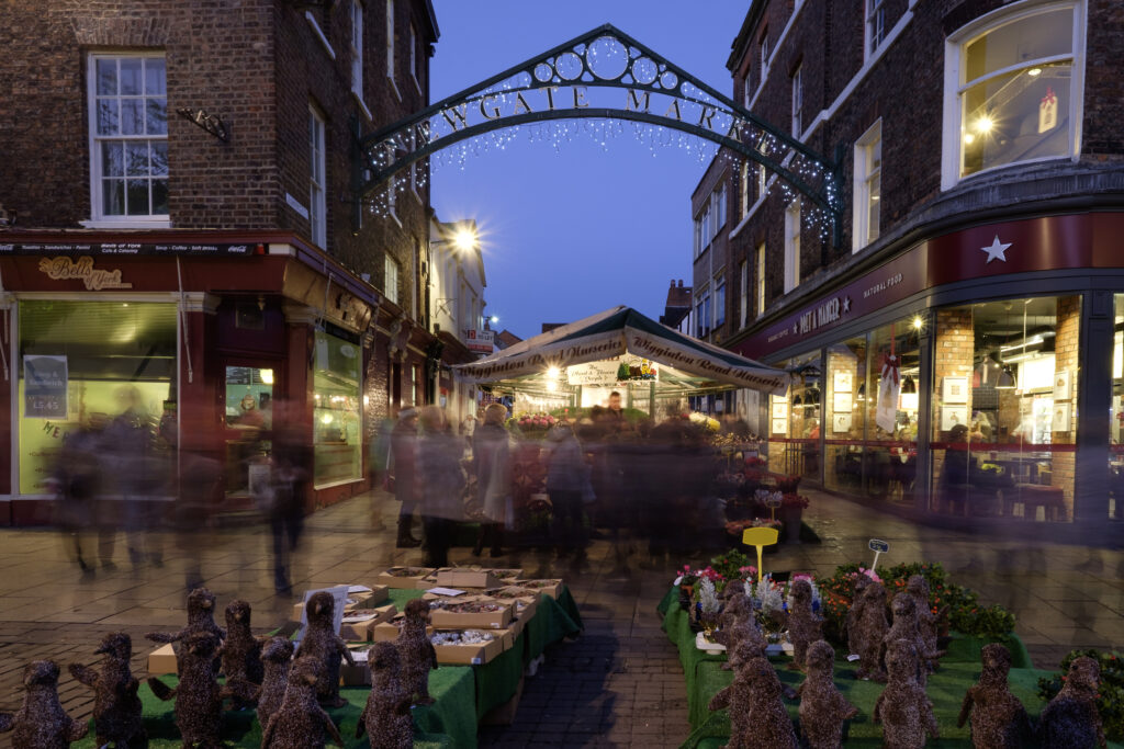
England, North Yorkshire, York City. Entrance to Newgate Christmas Market seen from Parliament Street.
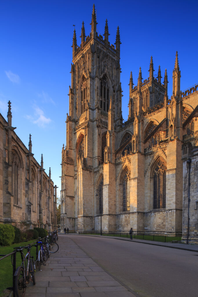
England, North Yorkshire, York City. St Michael le Belfrey and the York Minster – The cathedral which dominates the York skyline.
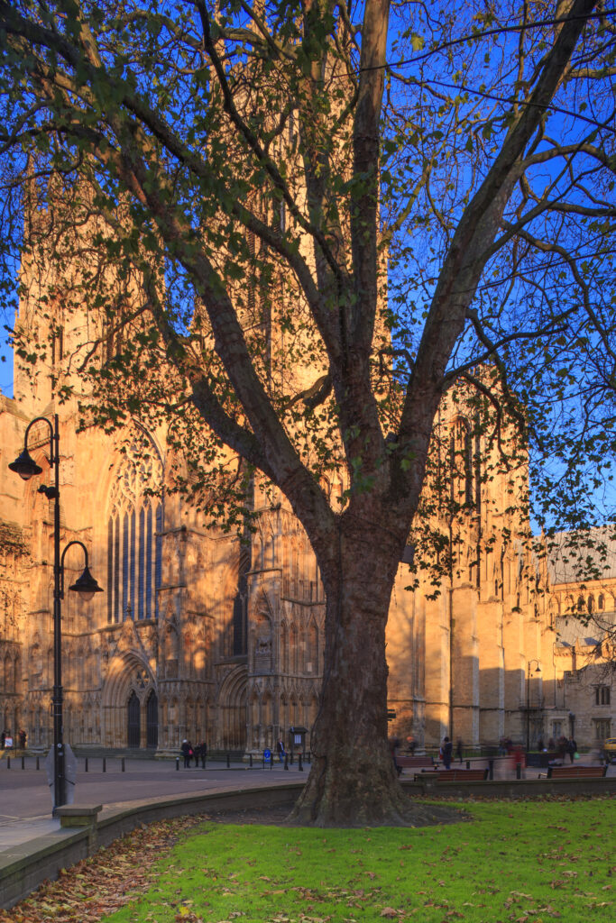
England, North Yorkshire, York City. Grand tree with the equally grand York Minster Cathedral in the distance.
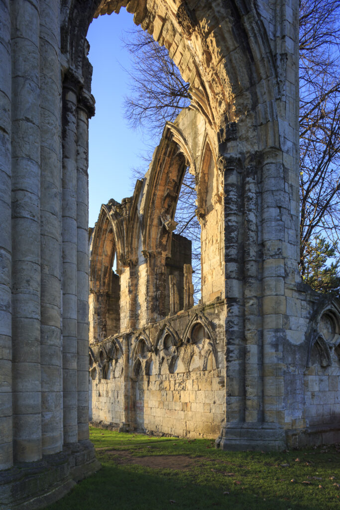
England, North Yorkshire, York City. The ruins of St Mary's Benedictine Abbey near the Yorkshire Museum in the city of York.
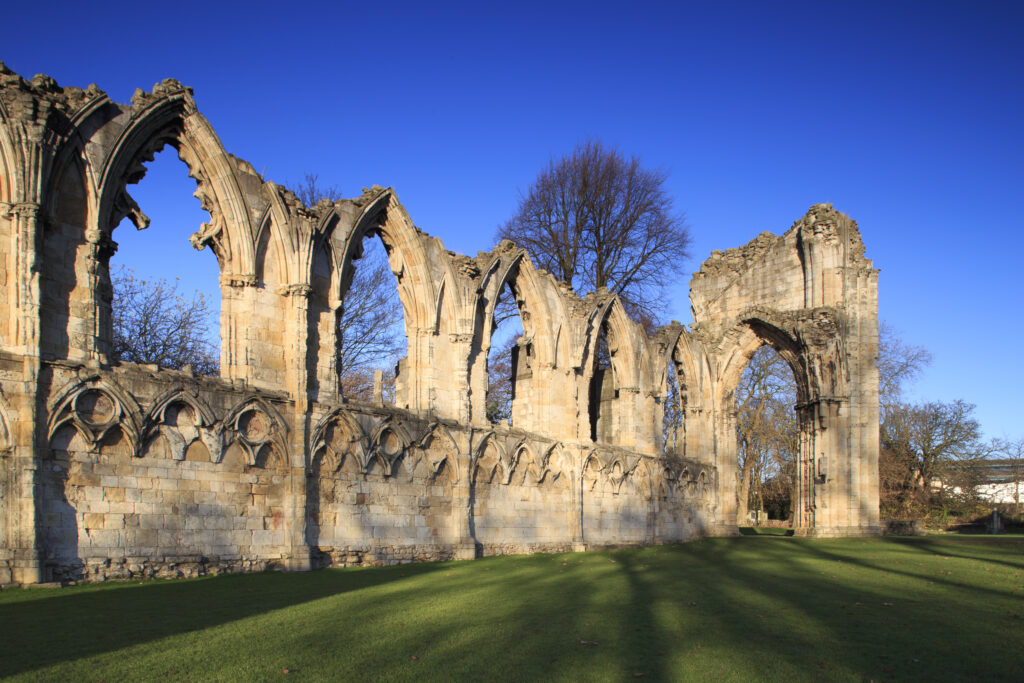
England, North Yorkshire, York City. The ruins of St Mary's Benedictine Abbey near the Yorkshire Museum in the city of York.
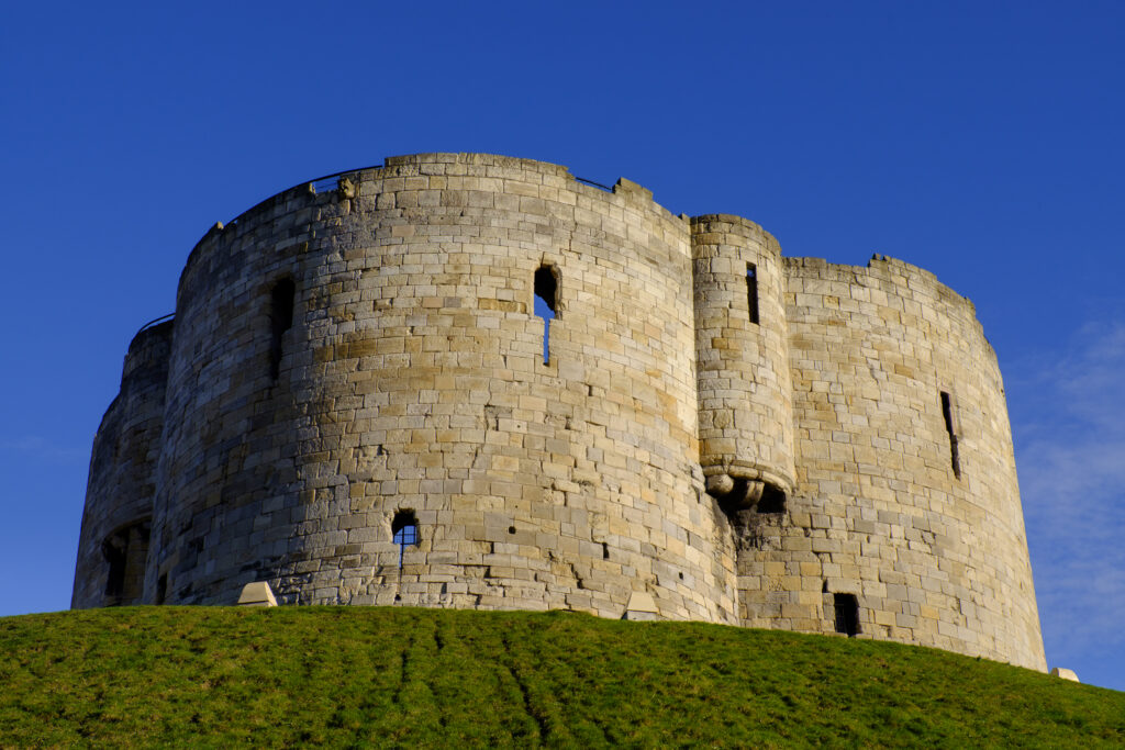
England, North Yorkshire, York City. Cliffords Tower / York Castle in the city of York.
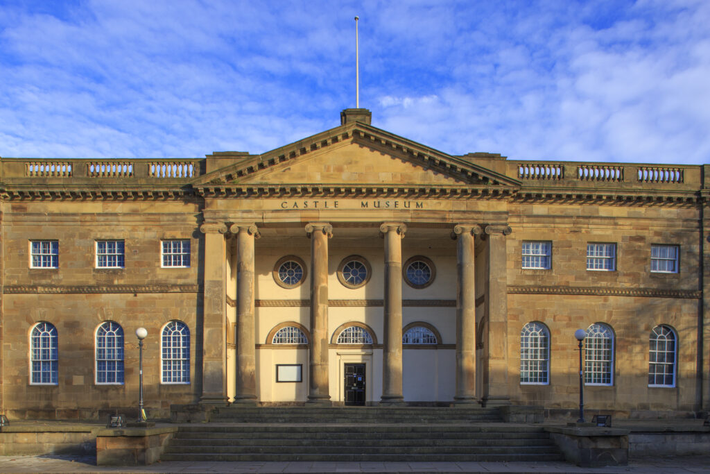
England, North Yorkshire, York City. York Castle Museum near Cliffords Tower in the York Castle area of the city of York.
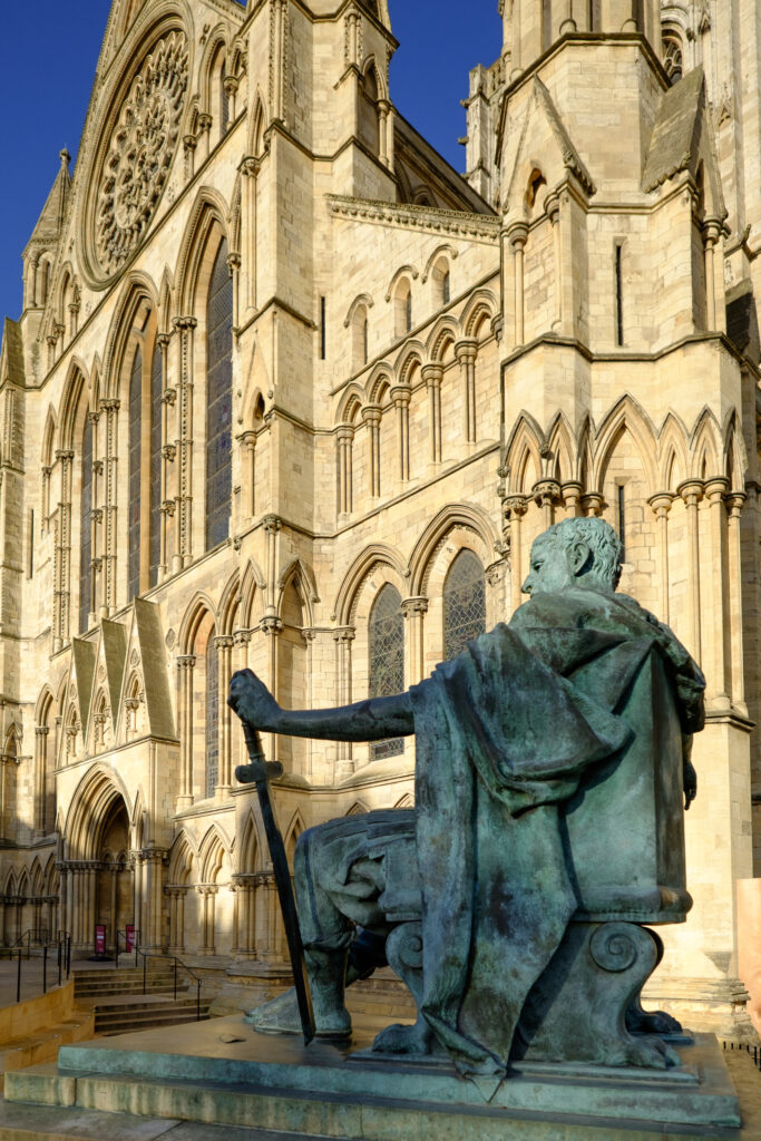
England, North Yorkshire, York City. Statue of Roman Emperor Constantine the Great. near the main entrance to York Minster.
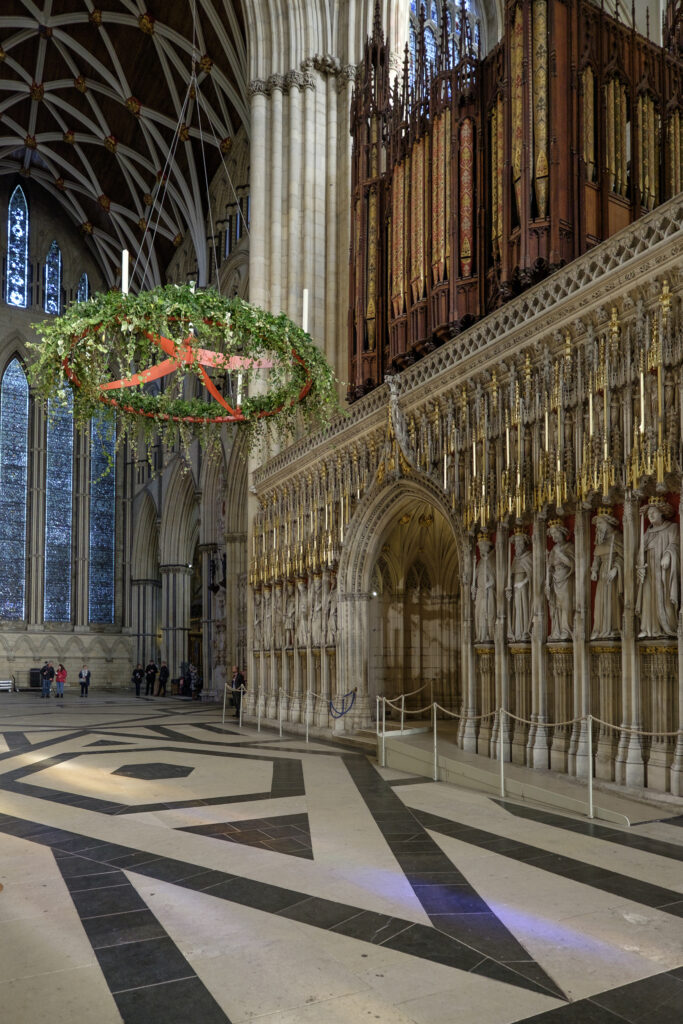
England, North Yorkshire, York Minster Cathedral. The Wall of Kings at York Minster.
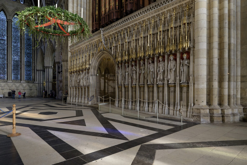
England, North Yorkshire, York Minster Cathedral. The Wall of Kings at York Minster.
Favourites
Photofeed
