
Your search for “ENGLAND, Northumberland, Northumberland National Park” returned 367 images.
Clear Search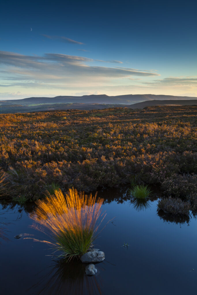
England, Northumberland, Northumberland National Park. Last light on Long Crag, looking towards the Simonside Hills.
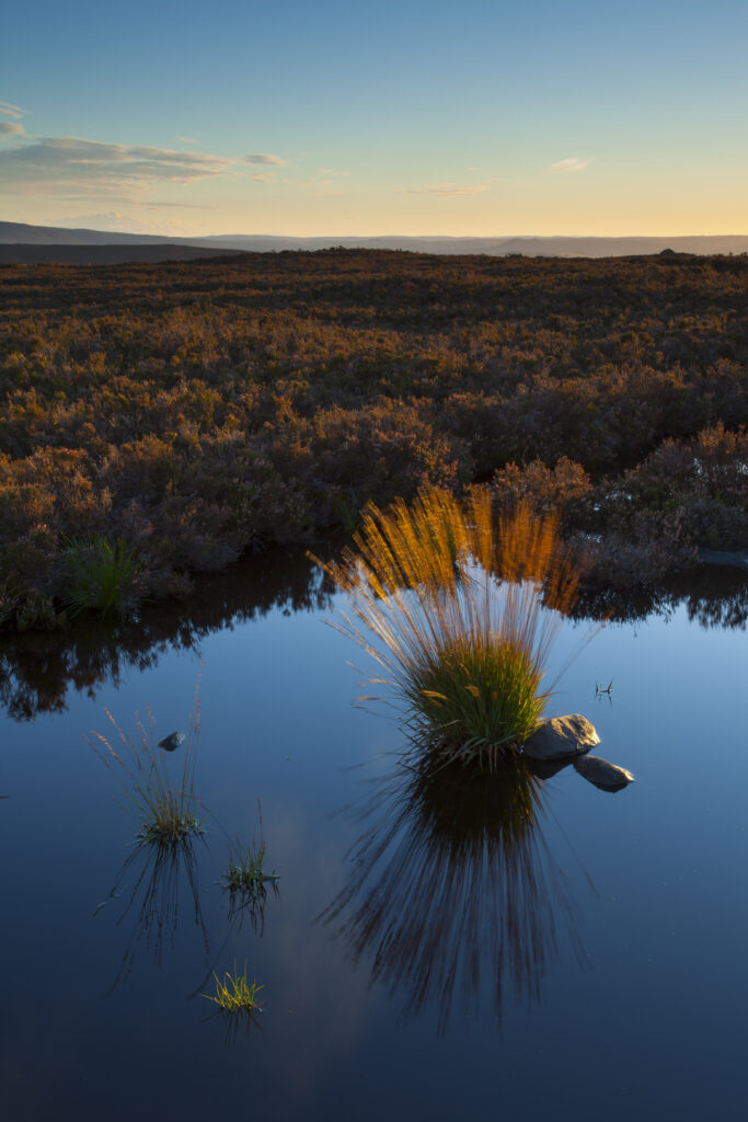
England, Northumberland, Northumberland National Park. Last light on Long Crag, looking towards the Simonside Hills.
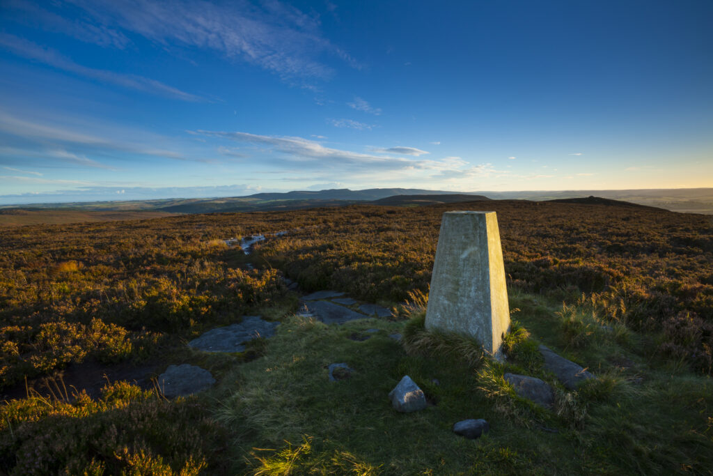
England, Northumberland, Northumberland National Park. Trig point on Long Crag, looking towards the Simonside Hills.
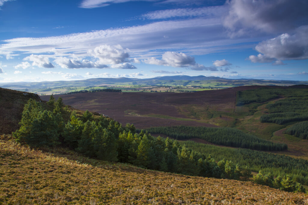
England, Northumberland, Northumberland National Park. View from Long Crag looking towards the Cheviot Hills.
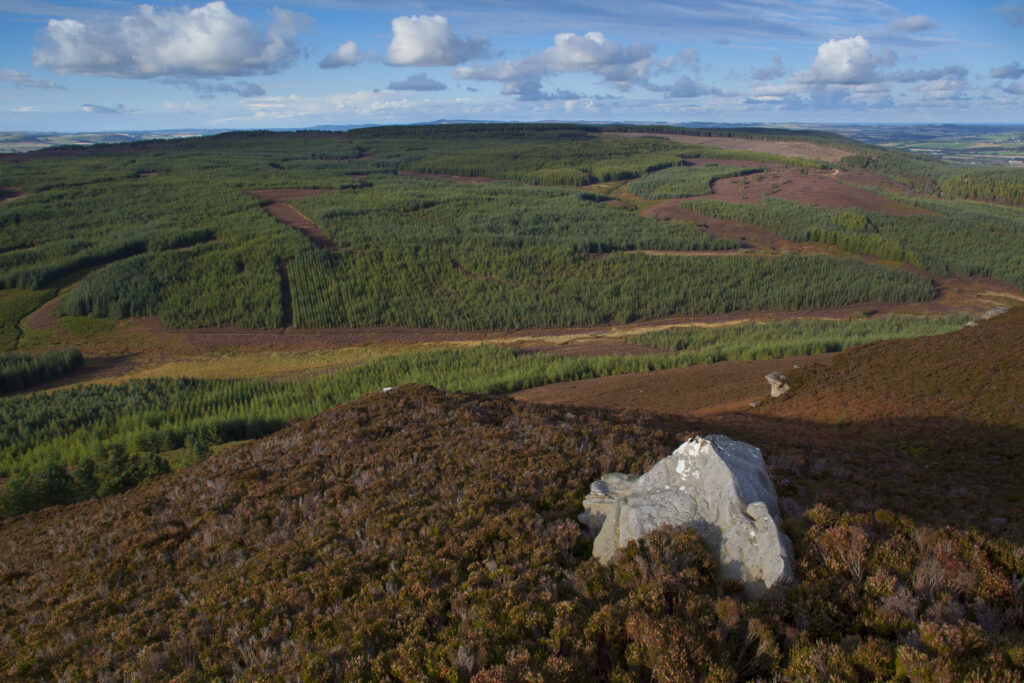
England, Northumberland, Northumberland National Park. View from Long Crag looking towards the forestry commission woodland, Thrunton Woods.
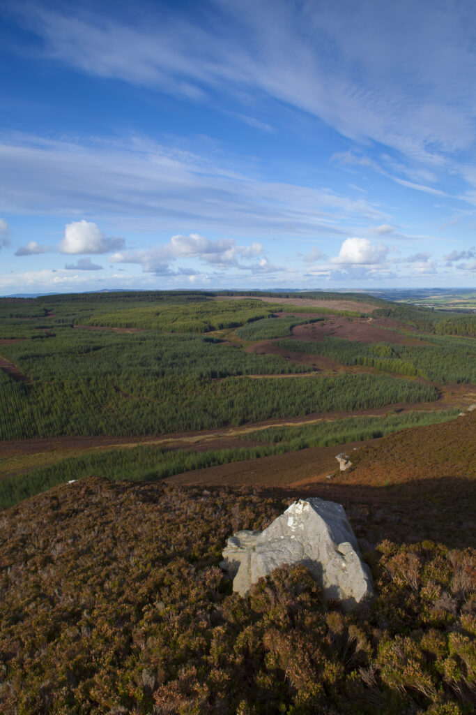
England, Northumberland, Northumberland National Park. View from Long Crag looking towards the forestry commission woodland, Thrunton Woods.
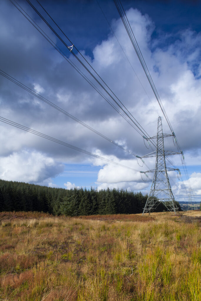
England, Northumberland, Thrunton Woods. Electricity Pylons running through Forestry Commission woodland near Rothbury in Northumberland.
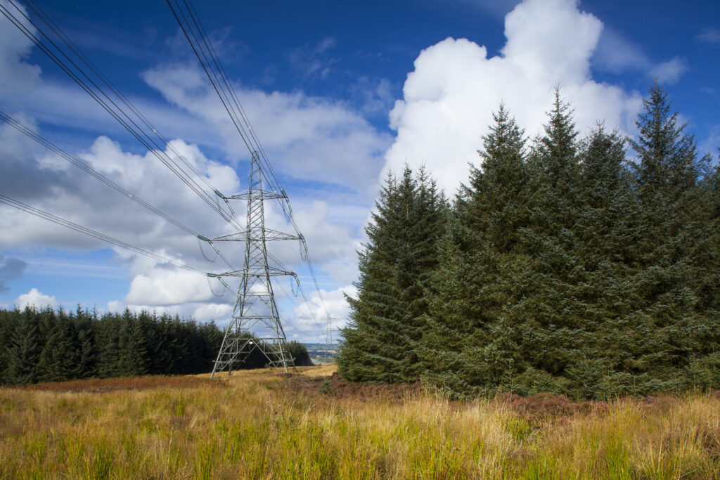
England, Northumberland, Thrunton Woods. Electricity Pylons running through Forestry Commission woodland near Rothbury in Northumberland.
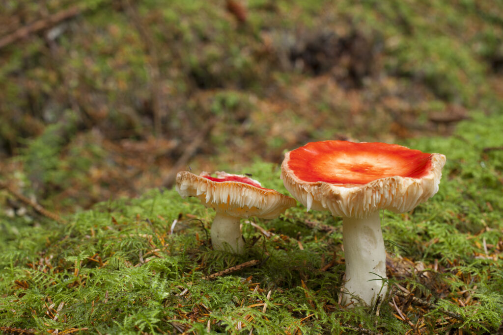
England, Northumberland, Thrunton Woods. Fly Agaric Mushrooms (Amanita muscaria) located in Forestry Commission woodland near Rothbury in Northumberland.
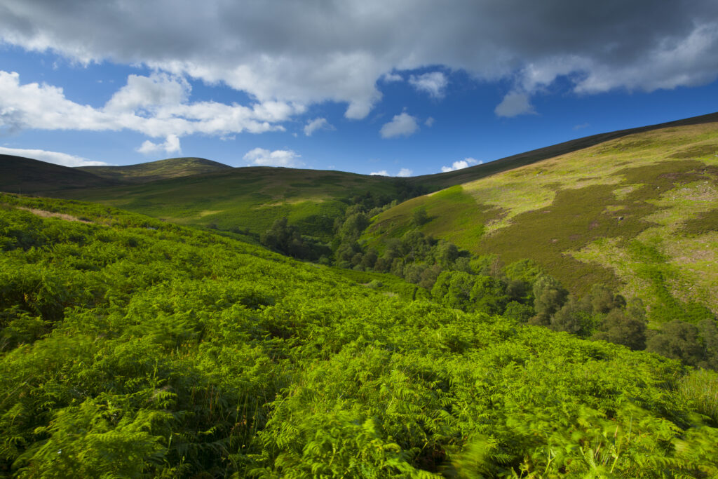
England, Northumberland, Northumberland National Park. The Breamish / Ingram Valley within the Northumberland National Park, during mid-summer.
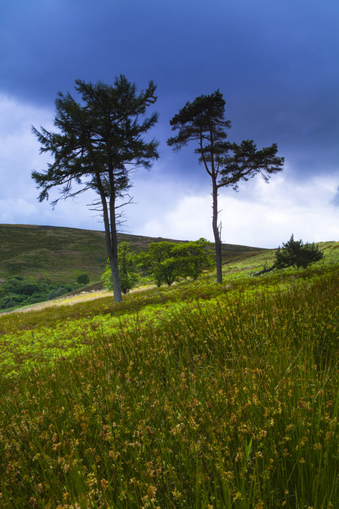
England, Northumberland, Northumberland National Park. The Breamish / Ingram Valley within the Northumberland National Park, during mid-summer.
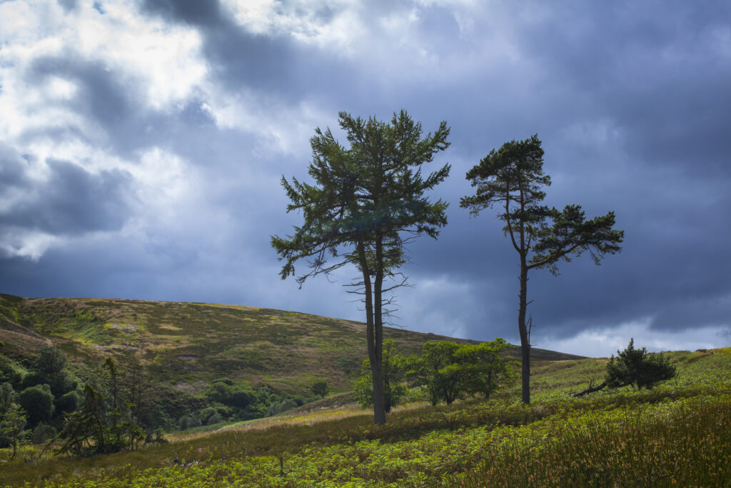
England, Northumberland, Northumberland National Park. The Breamish / Ingram Valley within the Northumberland National Park, during mid-summer.
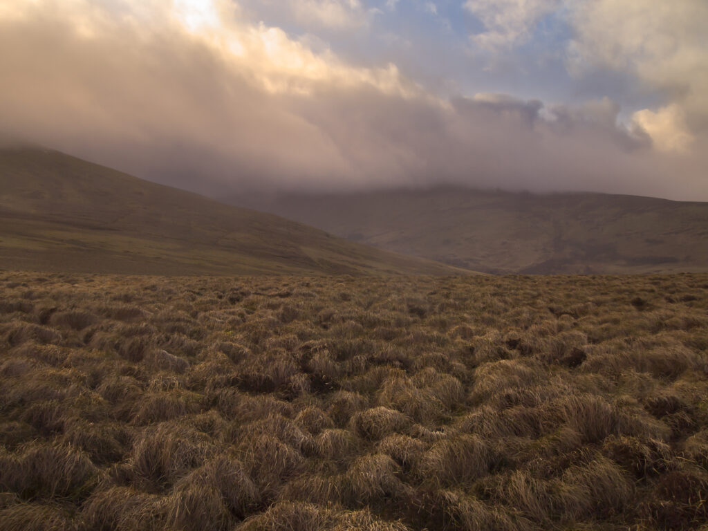
England, Northumberland, Northumberland National Park. Looking across the Harthope Valley towards the Cheviot, from the upper slopes of the Cheviot Hills.
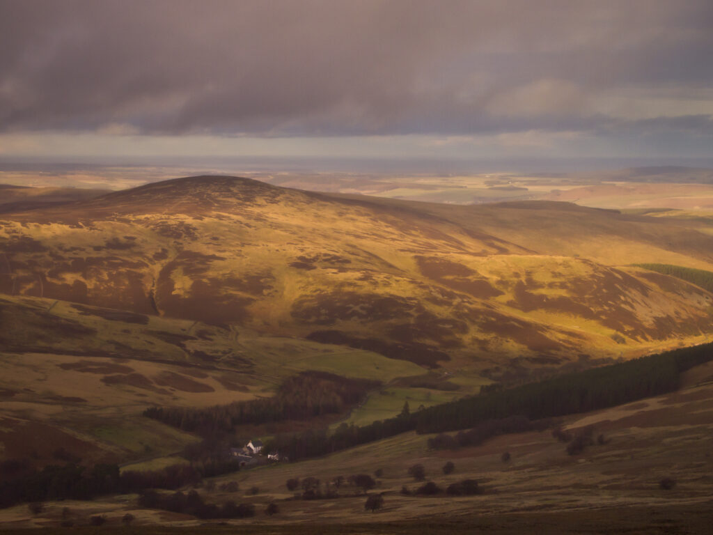
England, Northumberland, Northumberland National Park. Looking down towards the Harthope Valley, during a rain storm, from the upper slopes of the Cheviot Hills.
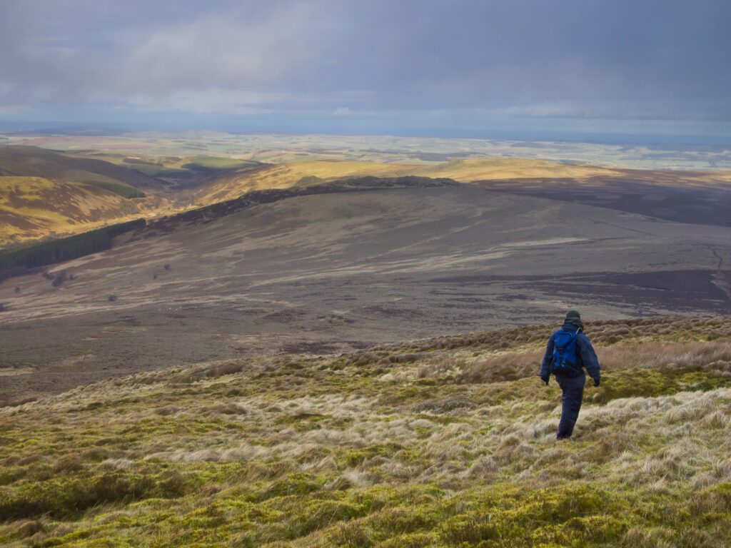
England, Northumberland, Northumberland National Park. Hiker walking down towards the Harthope Valley, from the upper slopes of the Cheviot Hills.
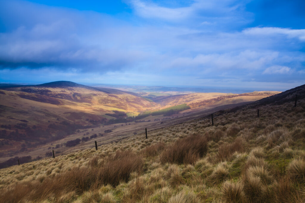
England, Northumberland, Northumberland National Park. Looking down towards the Harthope Valley, during a rain storm, from the upper slopes of the Cheviot Hills.
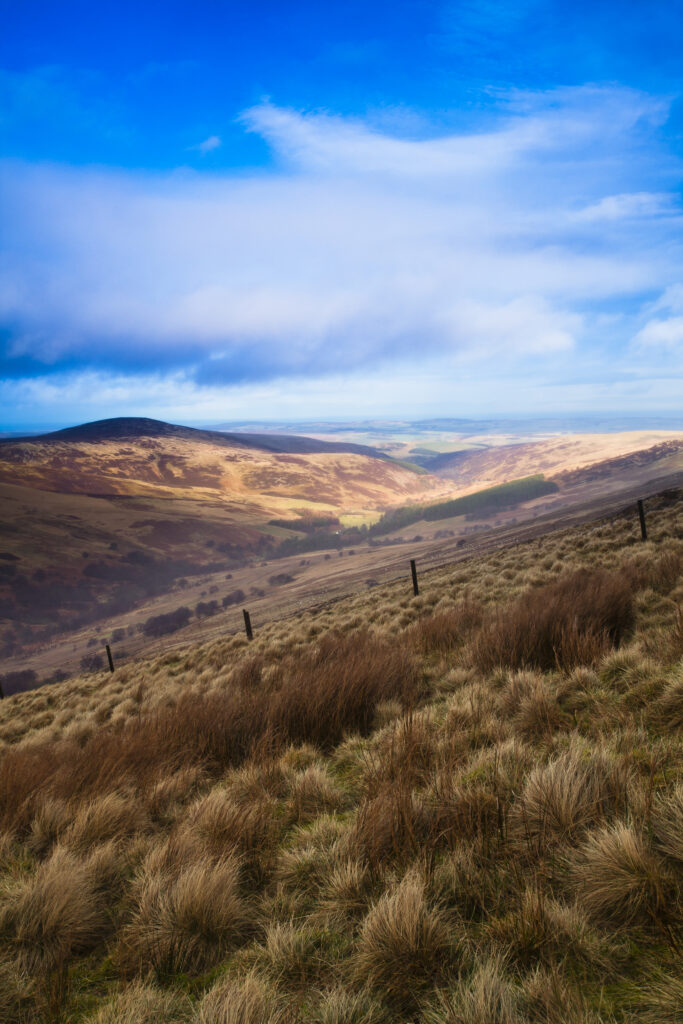
England, Northumberland, Northumberland National Park. Looking down towards the Harthope Valley, during a rain storm, from the upper slopes of the Cheviot Hills.
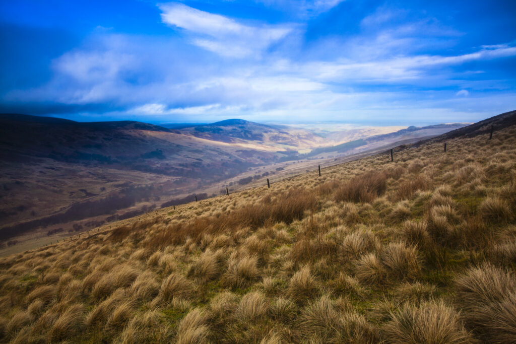
England, Northumberland, Northumberland National Park. Looking down towards the Harthope Valley, during a rain storm, from the upper slopes of the Cheviot Hills.
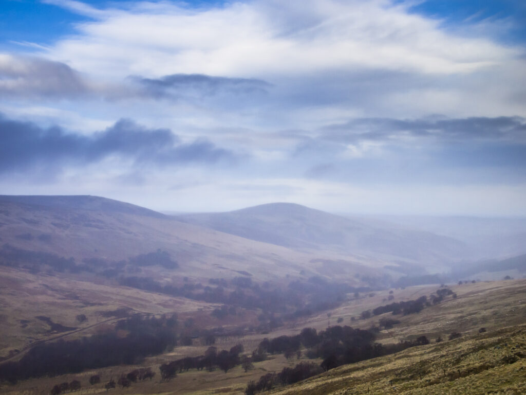
England, Northumberland, Northumberland National Park. Looking across the Harthope Valley towards the Cheviot, from the upper slopes of the Cheviot Hills.
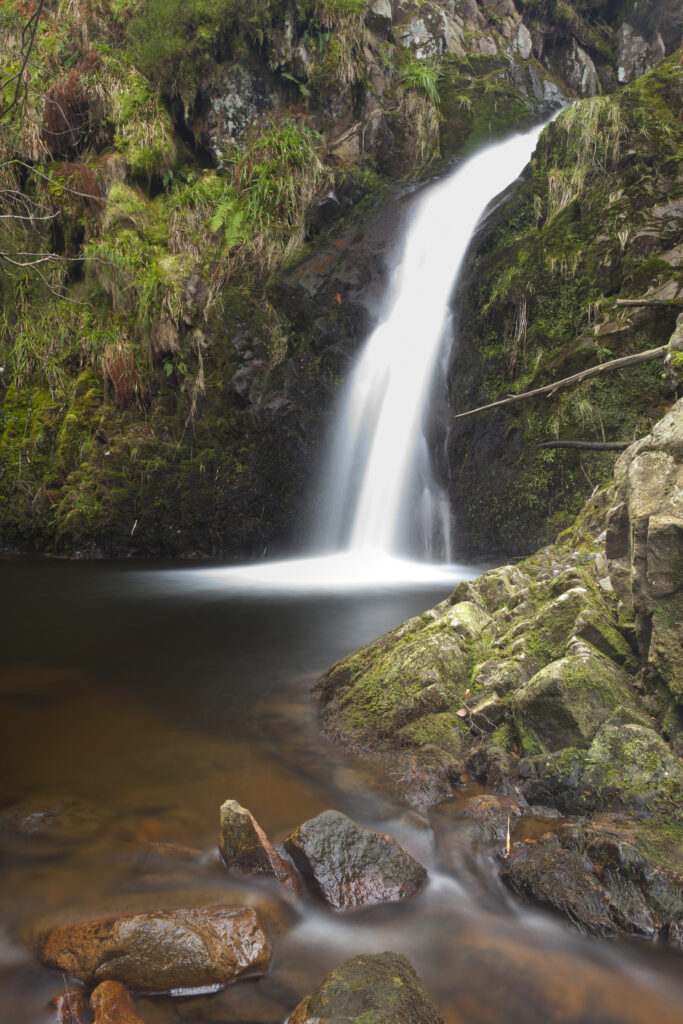
England, Northumberland, Northumberland National Park. Harthope Linn, a secluded waterfall in the Harthope Valley near the Scottish Border.
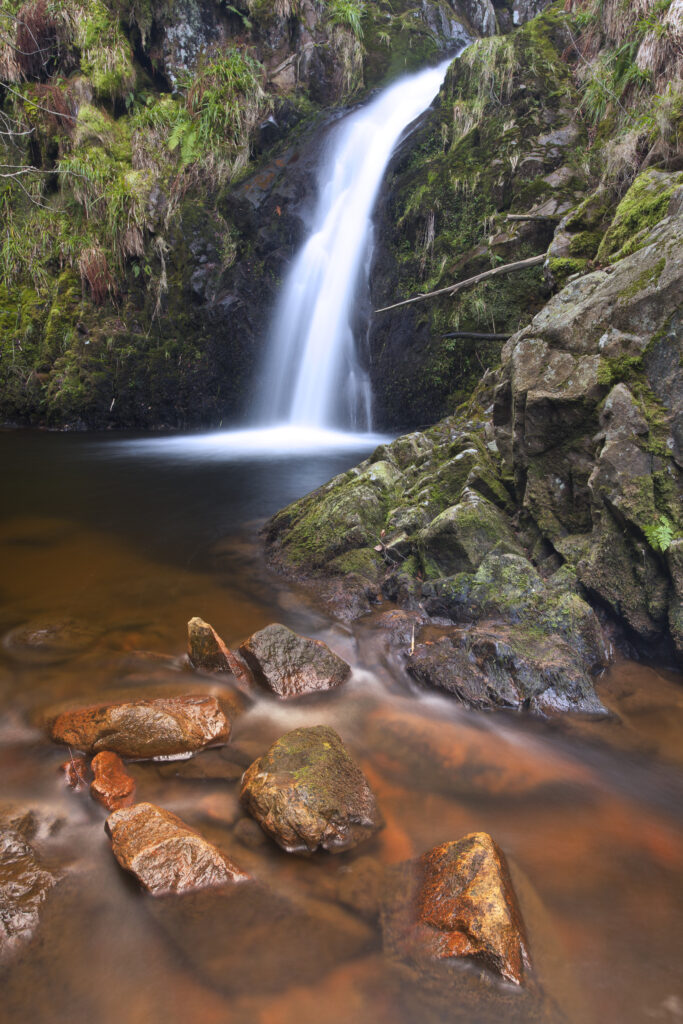
England, Northumberland, Northumberland National Park. Harthope Linn, a secluded waterfall in the Harthope Valley near the Scottish Border.
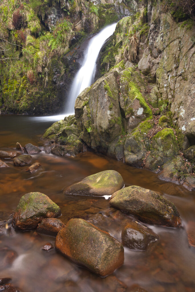
England, Northumberland, Northumberland National Park. Harthope Linn, a secluded waterfall in the Harthope Valley near the Scottish Border.
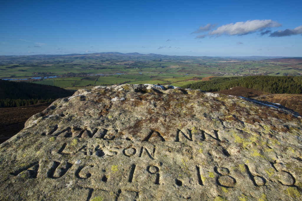
England, Northumberland, Simonside Hills. Name engraved on a side of a rock on the Simonside Hills, looking towards the Cheviot Hills and the Northumberland National Park.
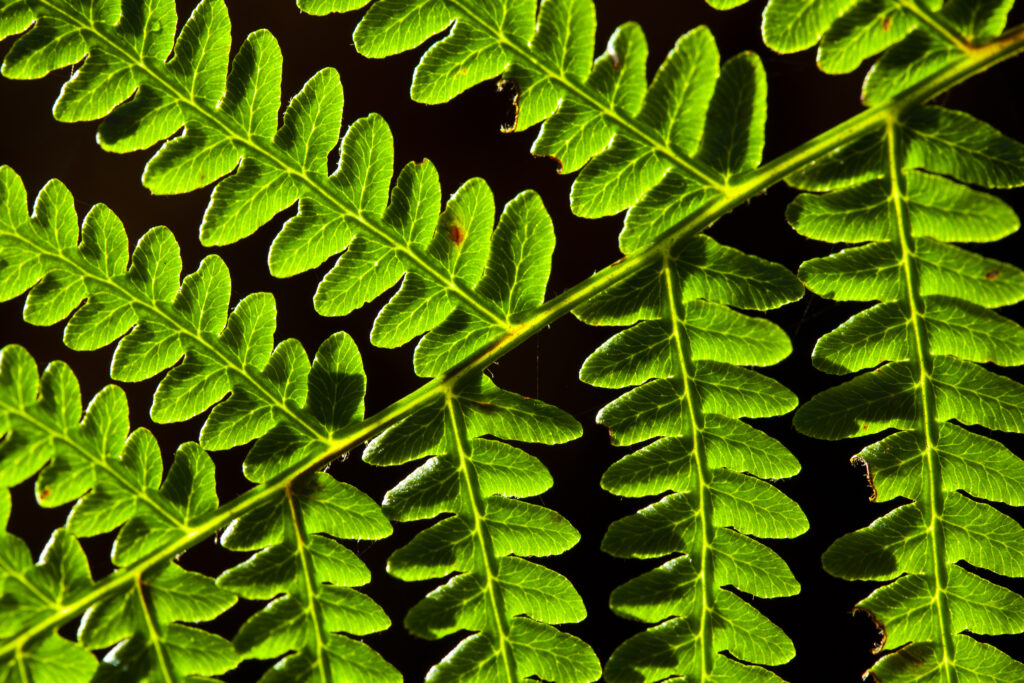
England, Northumberland, Northumberland National Park. Detail shot of a backlit fern growing near Simonside in the Northumberland National Park.
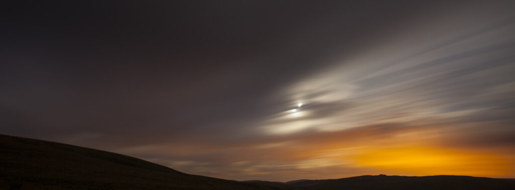
England, Northumberland, Northumberland National Park. Night time clouds move above the Northumberland Cheviot Hills near Yearning Saddle Refuge Hut.
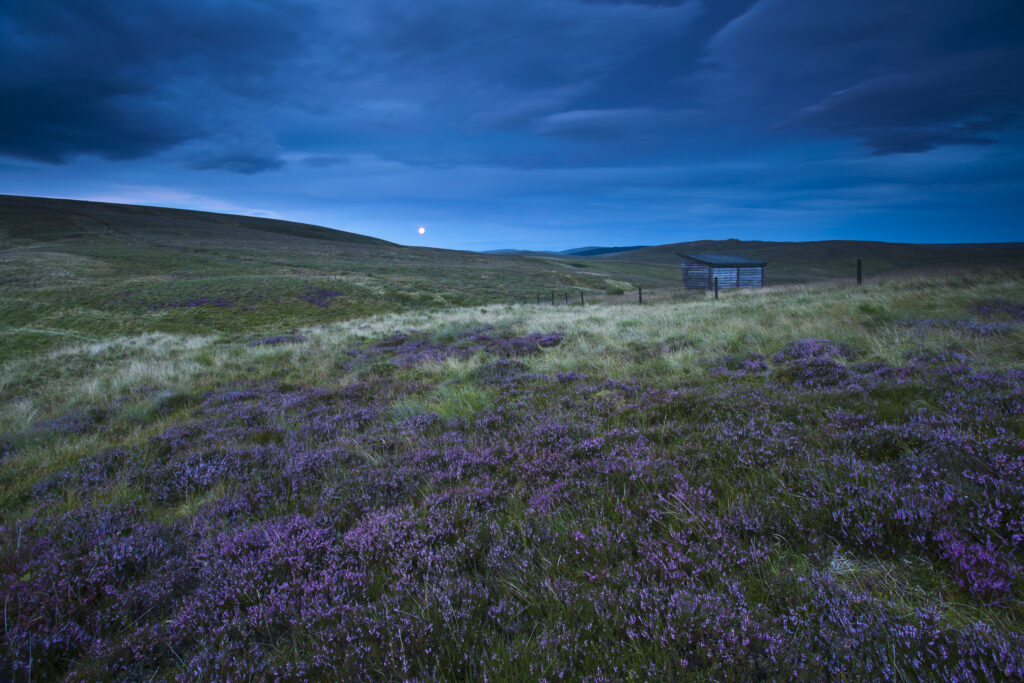
Scotland, Scottish Borders, English Border / Northumberland National Park. Looking across purple heather towards Lamb Hill and the Yearning Saddle Refuge Hut located on the Northumberland Cheviot Hills in England.
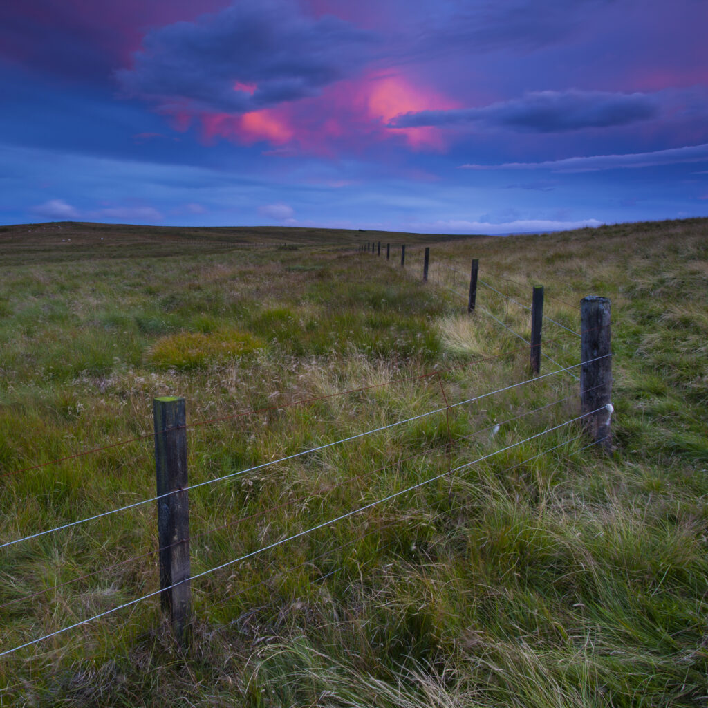
England, Northumberland, Northumberland National Park. Sunset behind the England / Scotland border fence on the Northumberland Cheviot Hills near Yearning Saddle Refuge Hut.
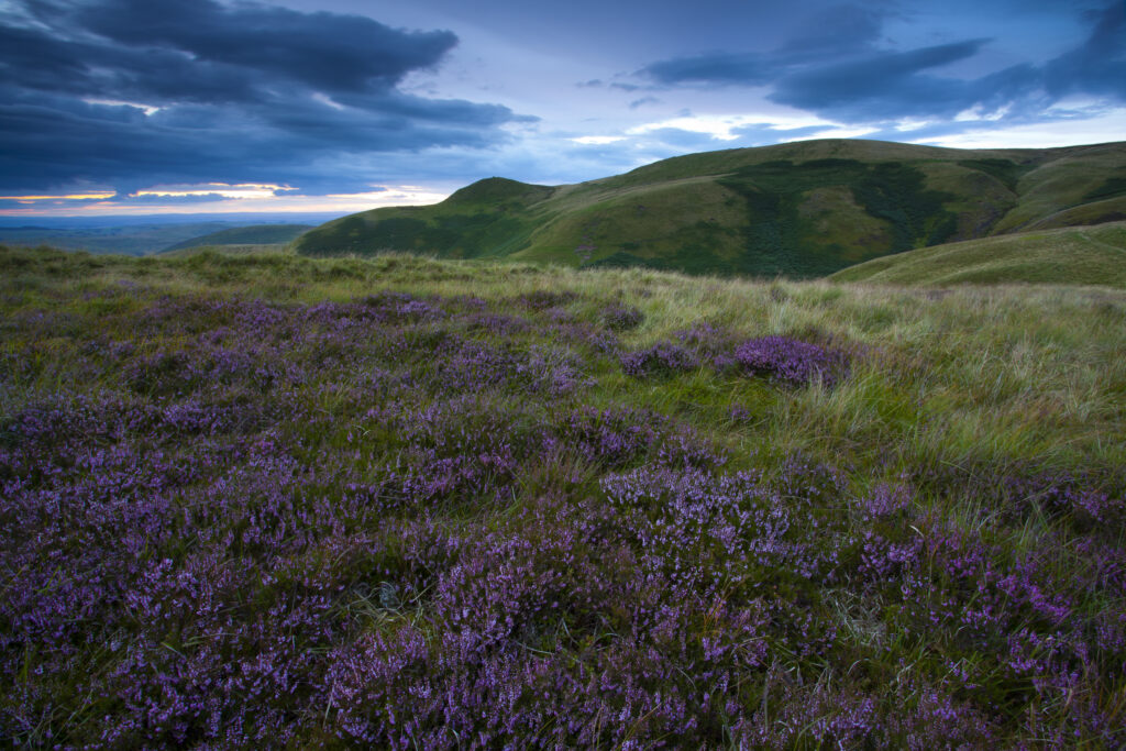
Scotland, Scottish Borders, English Border / Northumberland National Park. Looking across purple heather towards Lamb Hill and the Northumberland Cheviot Hills in England.
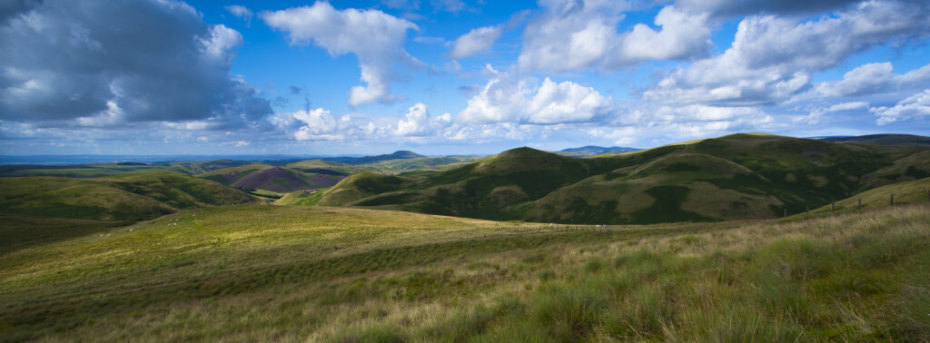
Scotland, Scottish Borders, English Border / Northumberland National Park. Looking towards Lamb Hill and the Northumberland Cheviot Hills in England from the Scottish Border.
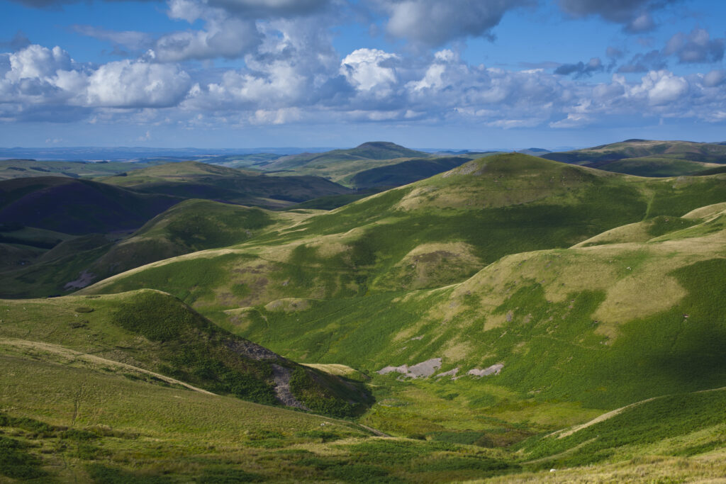
Scotland, Scottish Borders, English Border / Northumberland National Park. Looking towards Lamb Hill and the Northumberland Cheviot Hills in England from the Scottish Border.
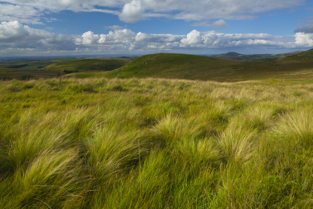
Scotland, Scottish Borders, English Border / Northumberland National Park. Looking towards the Northumberland Cheviot Hills in England from the Scottish Border.
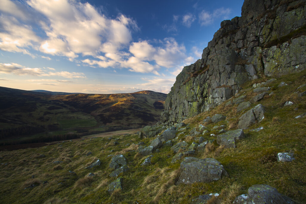
England, Northumberland, Harthope Valley. The Cheviot Hills and the Northumberland National Park viewed from Housey Crags above the Harthope Valley.
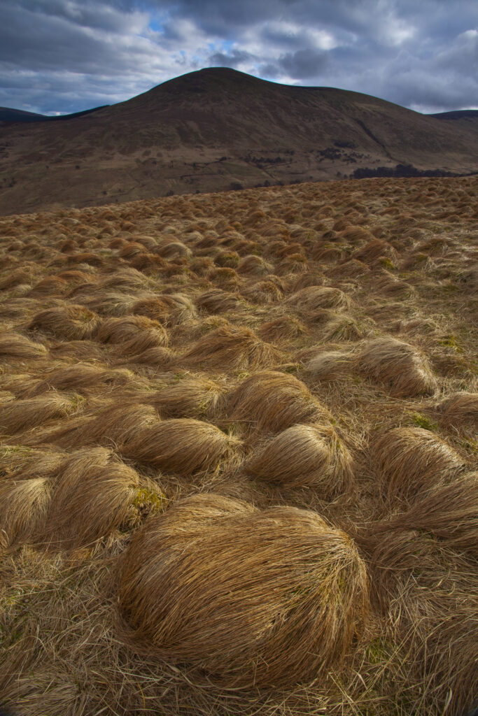
England, Northumberland, Northumberland National Park. Tussock on the remote hills of the Harthope Valley in the heart of the Northumberland National Park.
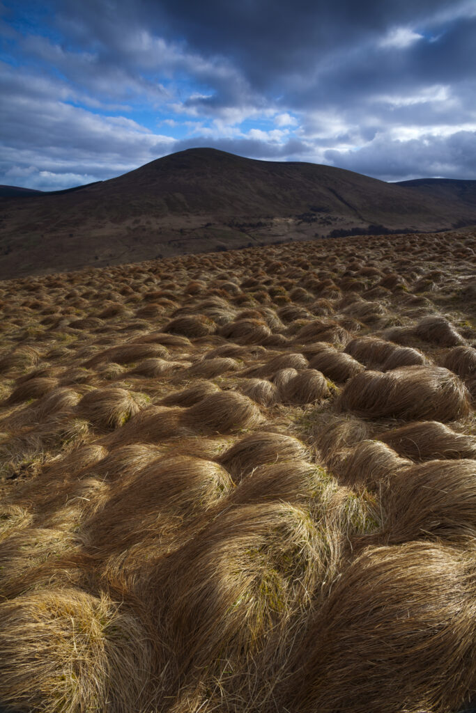
England, Northumberland, Northumberland National Park. Tussock on the remote hills of the Harthope Valley in the heart of the Northumberland National Park.
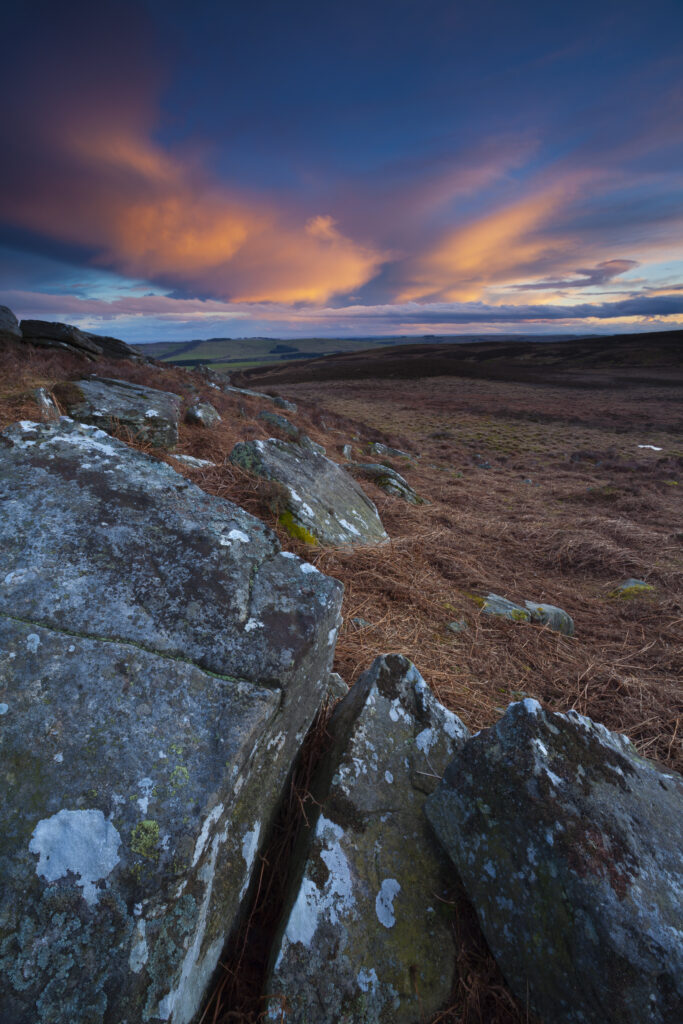
England, Northumberland, Northumberland National Park. Sunset above Caudhole Moss, viewed from the St Oswald's Way track near the town of Rothbury.
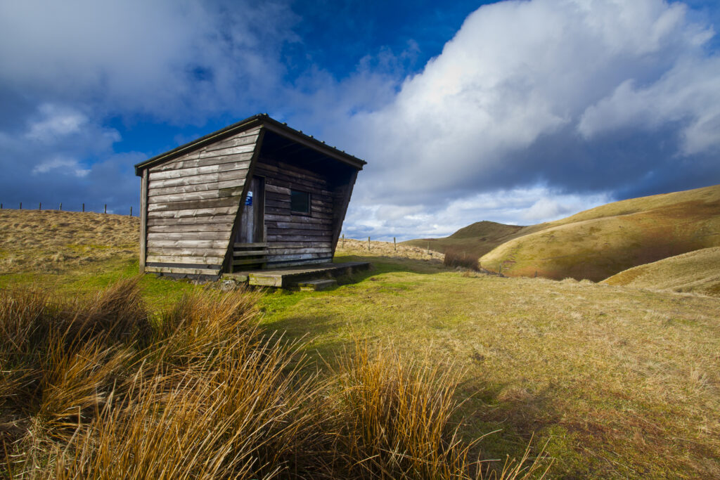
England, Northumberland, Northumberland National Park. Yearning Saddle / Lamb Hill Refuge Hut, located along the Pennine Way long distance track as it runs through the Cheviot Hills near the Scottish Border.
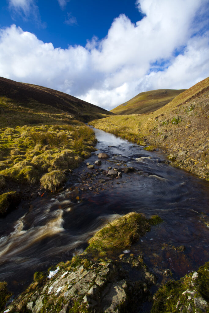
England, Northumberland, Northumberland National Park. Buckhams's Walls Burn, a mountain stream running from the Cheviot Hills to the River Coquet in the valley of Coquetdale.
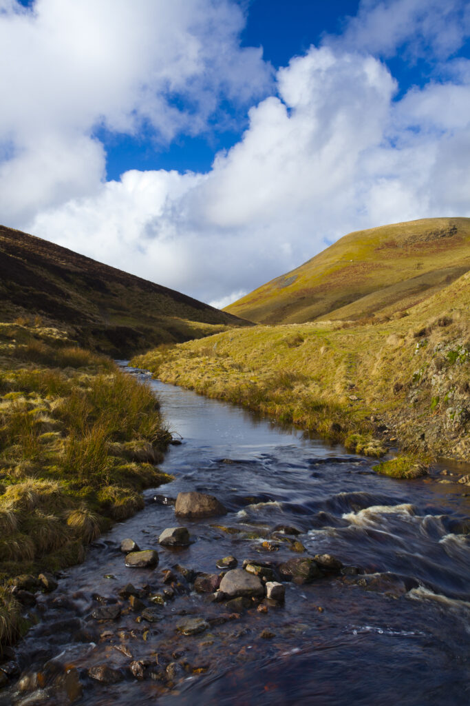
England, Northumberland, Northumberland National Park. Buckhams's Walls Burn, a mountain stream running from the Cheviot Hills to the River Coquet in the valley of Coquetdale.
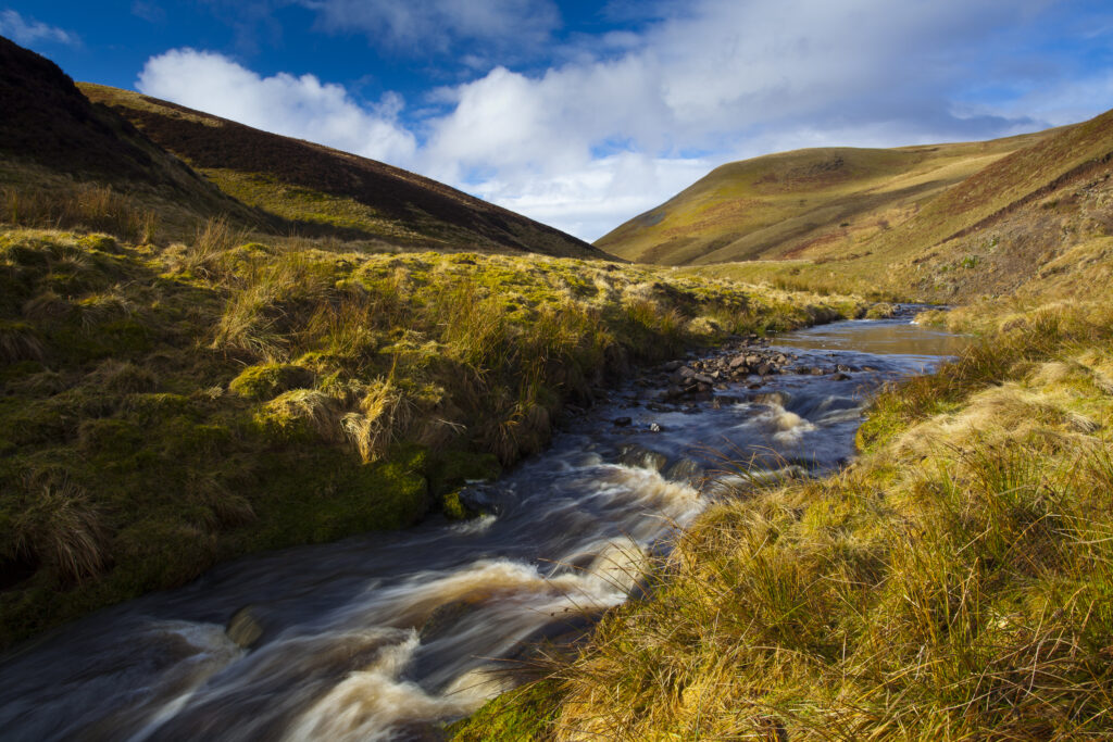
England, Northumberland, Northumberland National Park. Buckhams's Walls Burn, a mountain stream running from the Cheviot Hills to the River Coquet in the valley of Coquetdale.
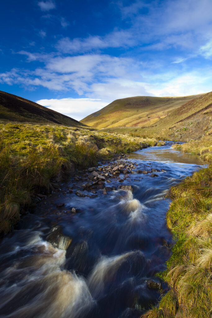
England, Northumberland, Northumberland National Park. Buckhams's Walls Burn, a mountain stream running from the Cheviot Hills to the River Coquet in the valley of Coquetdale.
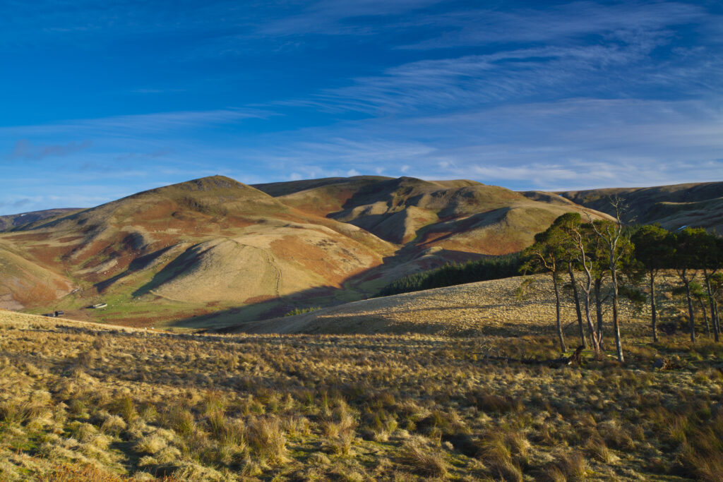
England, Northumberland, Northumberland National Park. Lamb Hill in the Cheviot Hills, part of the Northumberland National Park, viewed from Dere Street in the Scottish Borders
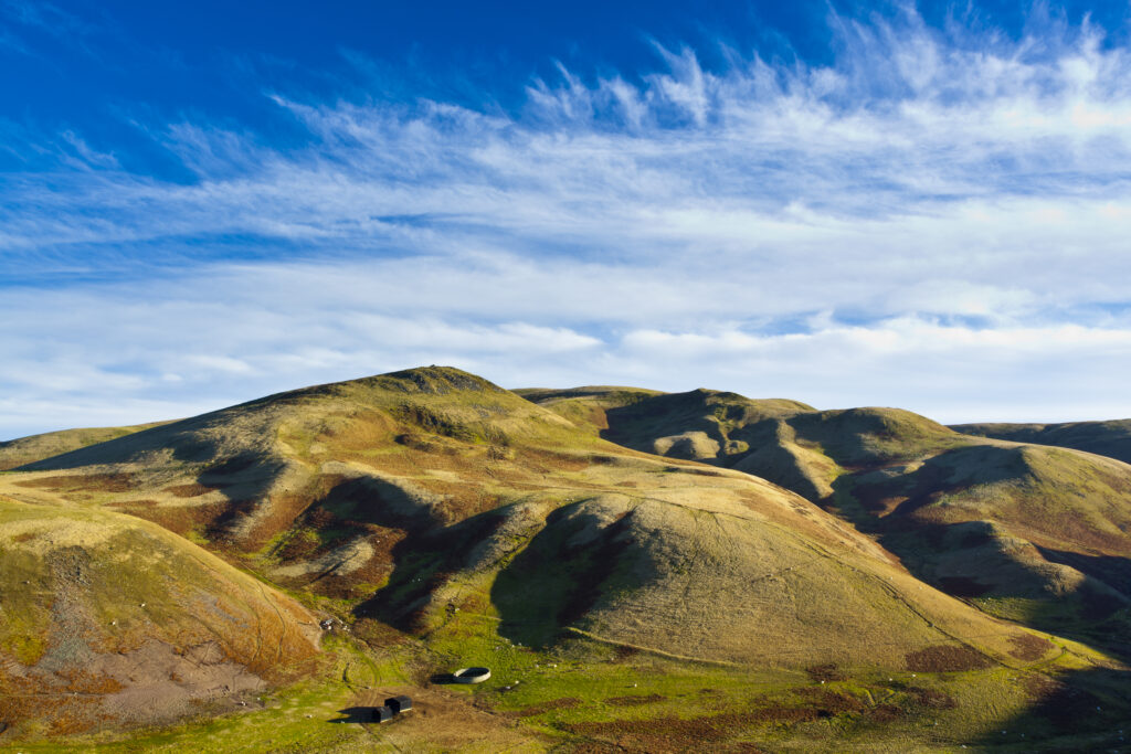
England, Northumberland, Northumberland National Park. Lamb Hill in the Cheviot Hills, part of the Northumberland National Park, viewed from Dere Street in the Scottish Borders
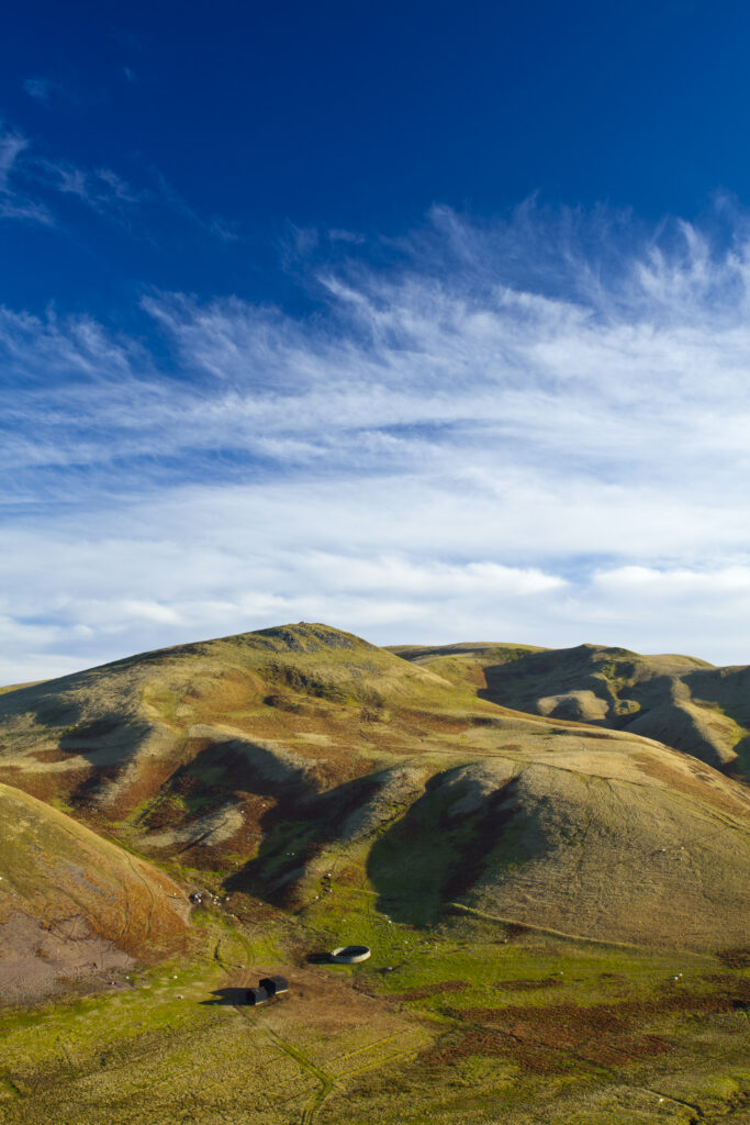
England, Northumberland, Northumberland National Park. Lamb Hill in the Cheviot Hills, part of the Northumberland National Park, viewed from Dere Street in the Scottish Borders
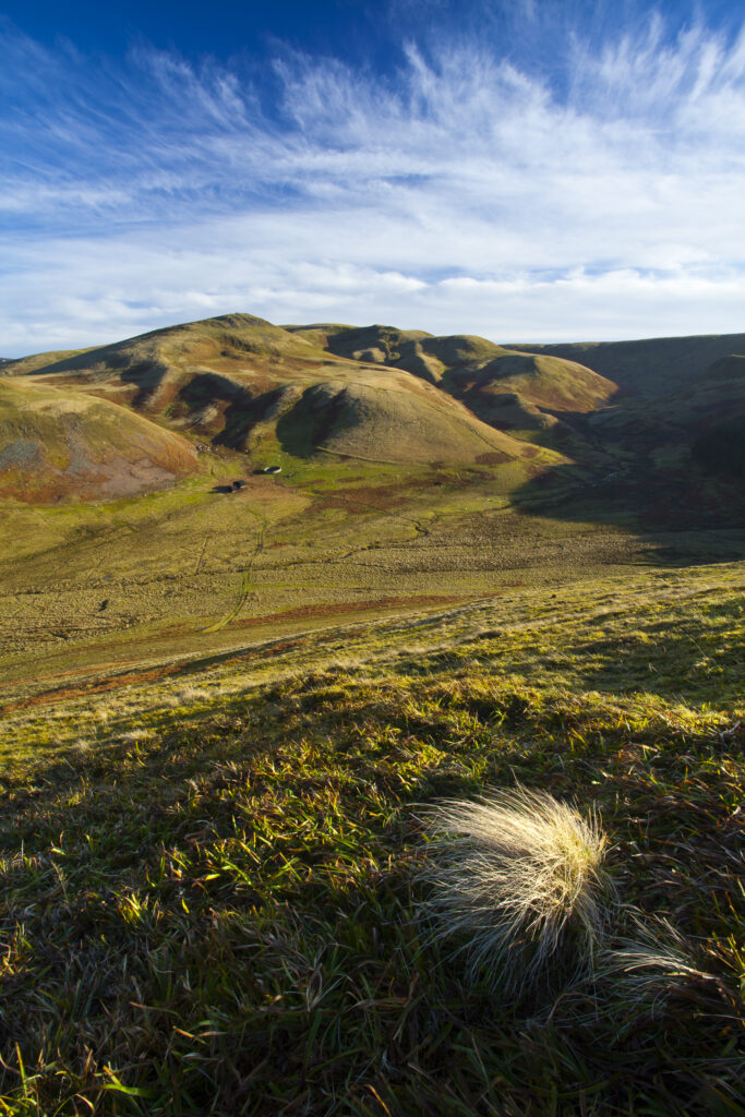
England, Northumberland, Northumberland National Park. Lamb Hill in the Cheviot Hills, part of the Northumberland National Park, viewed from Dere Street in the Scottish Borders
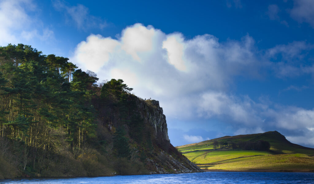
England, Northumberland, Hadrian's Wall. Crag Lough and the Great Whin Sill, viewed from near one of the most dramatic stretches of Hadrian's Wall.
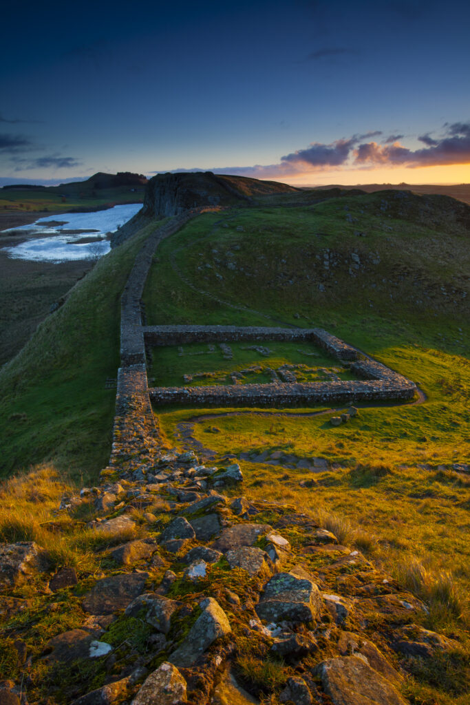
England, Northumberland, Hadrians Wall. Milecastle 39 on Hadrians Wall, a world heritage site located within the Northumberland National Park.
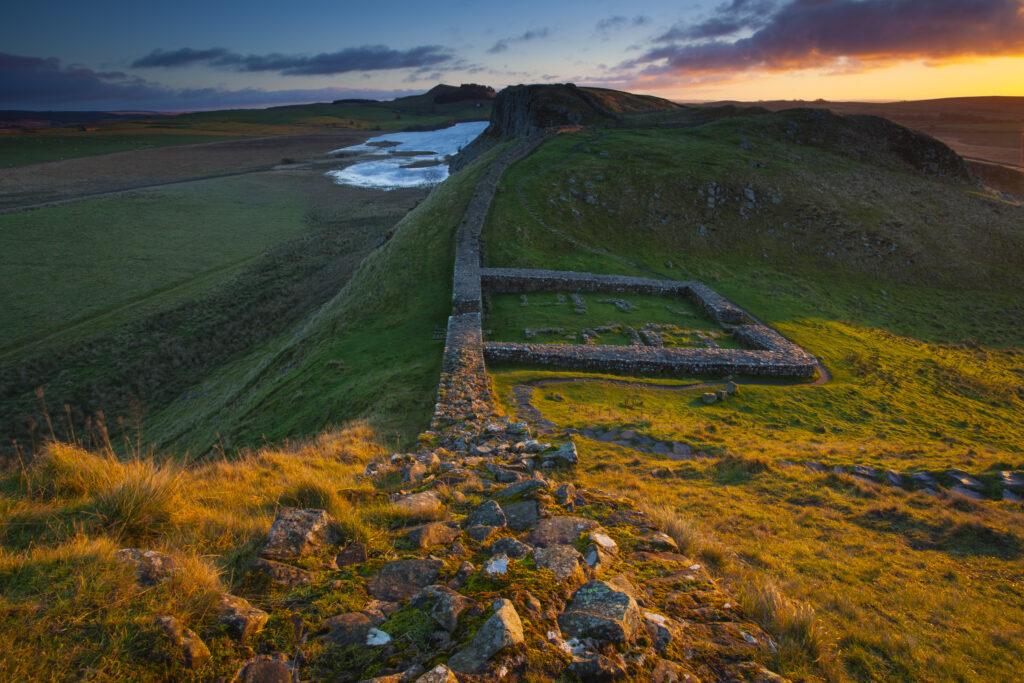
England, Northumberland, Hadrians Wall. Milecastle 39 on Hadrians Wall, a world heritage site located within the Northumberland National Park.
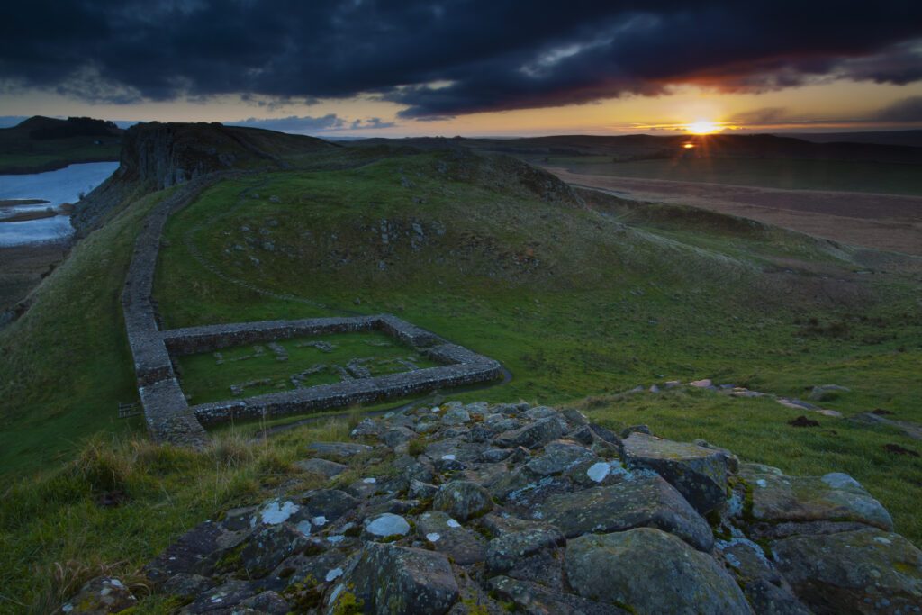
England, Northumberland, Hadrians Wall. Milecastle 39 on Hadrians Wall, a world heritage site located within the Northumberland National Park.
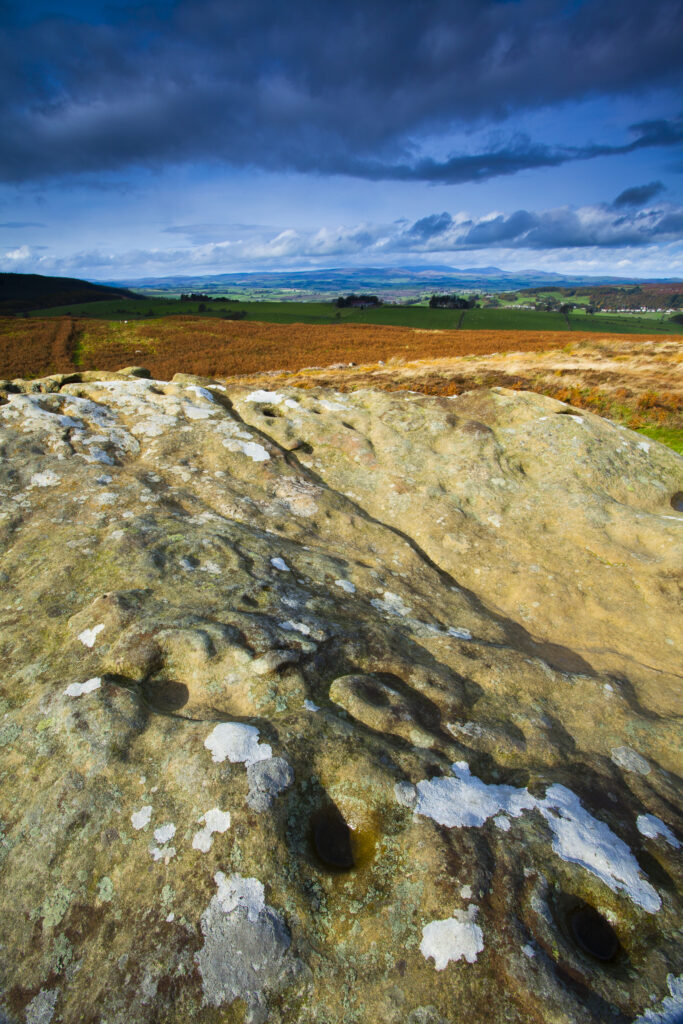
England, Northumberland, Northumberland National Park. Pre-historic cup and ring marks / rock art on a stone at Lordenshaw near the Lordenshaw Hill Fort
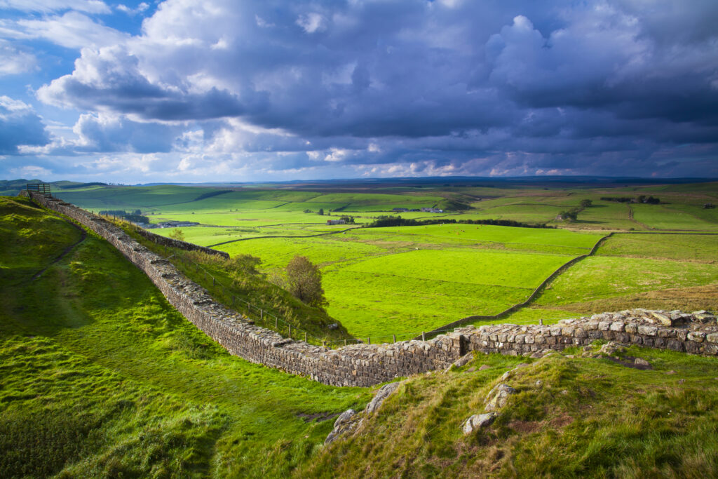
England, Northumberland, Northumberland National Park. A well preserved stretch of Hadrian's Wall passing along Caw Gap.
Favourites
Photofeed
