
Your search for “touris” returned 2402 images.
Clear Search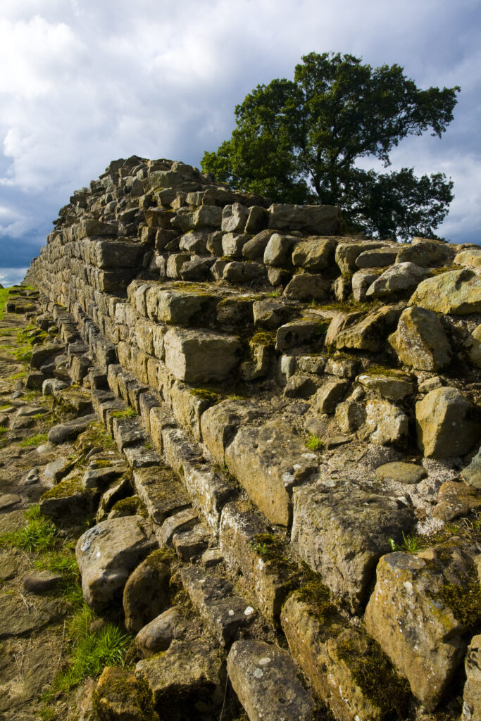
England, Cumbria, Gilsland. Hadrians Wall path running alongside Hadrians Wall – part of the Hadrians Wall UNESCO World Heritage Site.
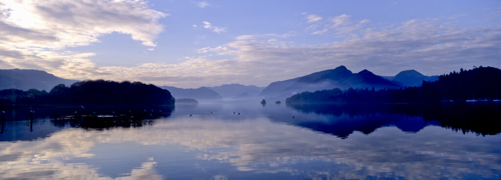
ENGLAND, Cumbria, Lake District National Park. Mountain backdrop reflected in the still waters of Derwentwater at dawn.
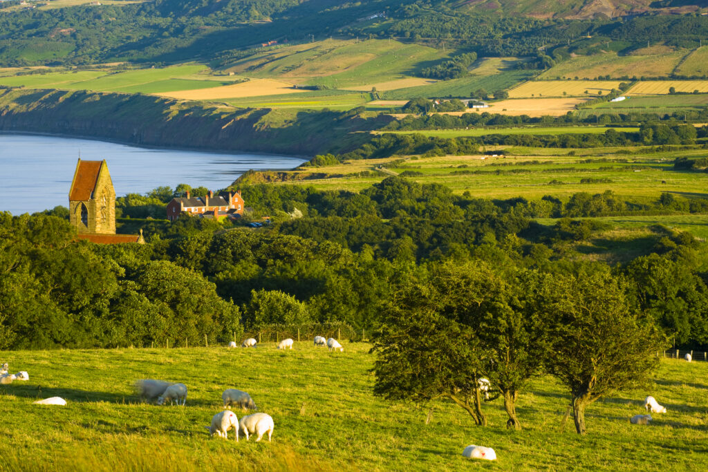
England, North Yorkshire, North York Moors National Park. The scenic Robin Hood's Bay, a popular tourist destination and the end point of the 'Coast to Coast' walk.
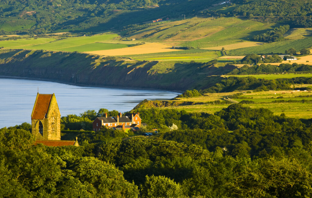
England, North Yorkshire, North York Moors National Park. The scenic Robin Hood's Bay, a popular tourist destination and the end point of the 'Coast to Coast' walk.
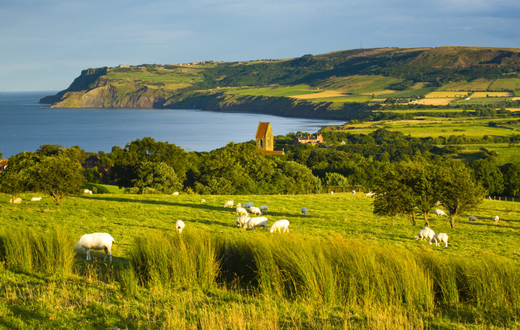
England, North Yorkshire, North York Moors National Park. The scenic Robin Hood's Bay, a popular tourist destination and the end point of the 'Coast to Coast' walk.
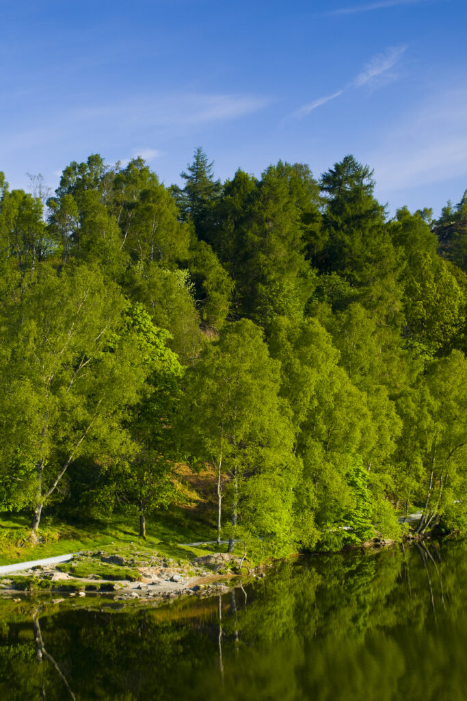
England, Cumbria, Lake District National Park. Birch trees reflected in Tarn Hows, a popular tourist destination once owned by Beatrix Potter and almost a totally artificial landmark. Tarn Hows was actually once two smaller tarns before previous owners merged the two and crafted the surrounding landscape to form the Tarn Hows we now know and love.
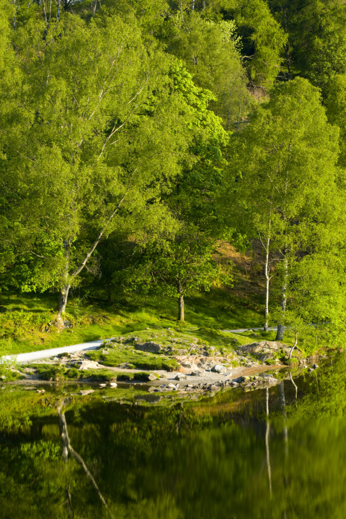
England, Cumbria, Lake District National Park. Birch trees reflected in Tarn Hows, a popular tourist destination once owned by Beatrix Potter and almost a totally artificial landmark. Tarn Hows was actually once two smaller tarns before previous owners merged the two and crafted the surrounding landscape to form the Tarn Hows we now know and love.
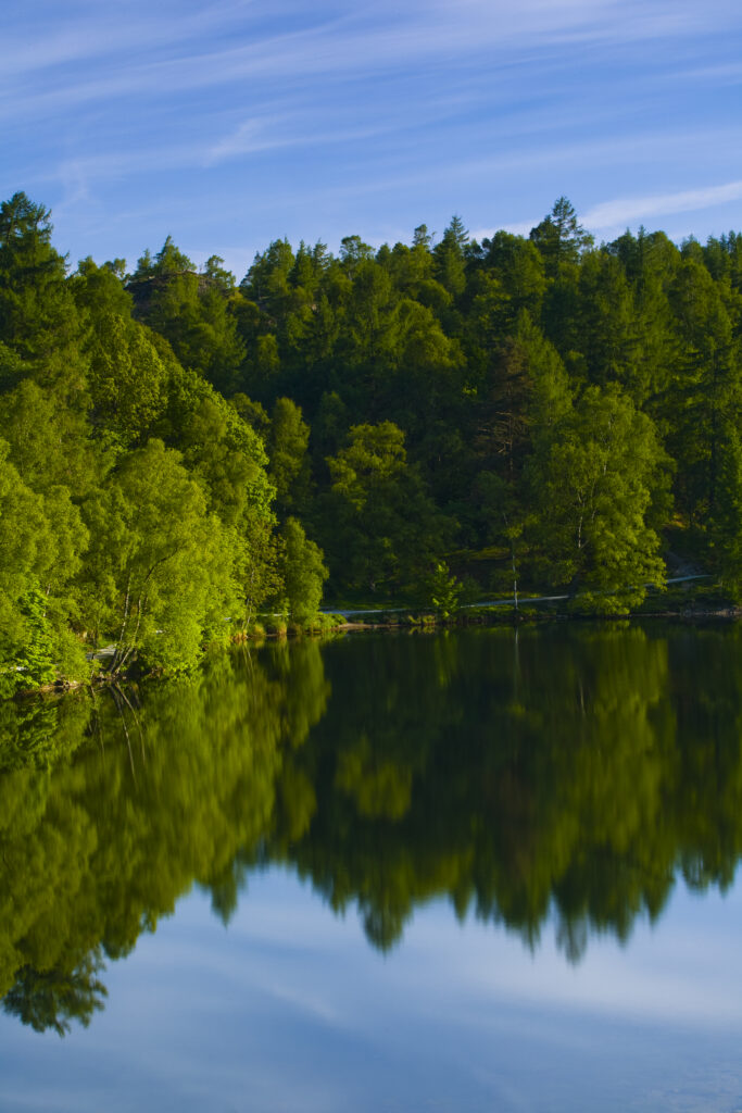
England, Cumbria, Lake District National Park. Birch trees reflected in Tarn Hows, a popular tourist destination once owned by Beatrix Potter and almost a totally artificial landmark. Tarn Hows was actually once two smaller tarns before previous owners merged the two and crafted the surrounding landscape to form the Tarn Hows we now know and love.
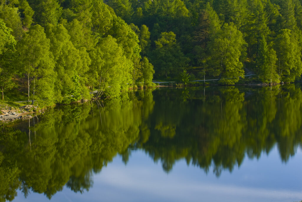
England, Cumbria, Lake District National Park. Birch trees reflected in Tarn Hows, a popular tourist destination once owned by Beatrix Potter and almost a totally artificial landmark. Tarn Hows was actually once two smaller tarns before previous owners merged the two and crafted the surrounding landscape to form the Tarn Hows we now know and love.
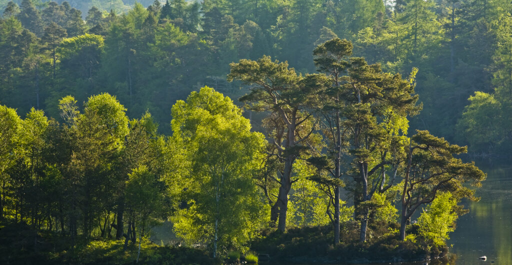
England, Cumbria, Lake District National Park. Mix of deciduous and evergreen trees surrounding the waters edge of Tarn Hows, a popular tourist destination once owned by Beatrix Potter and almost a totally artificial landmark. Tarn Hows was actually once two smaller tarns before previous owners merged the two and crafted the surrounding landscape to form the Tarn Hows we now know and love.
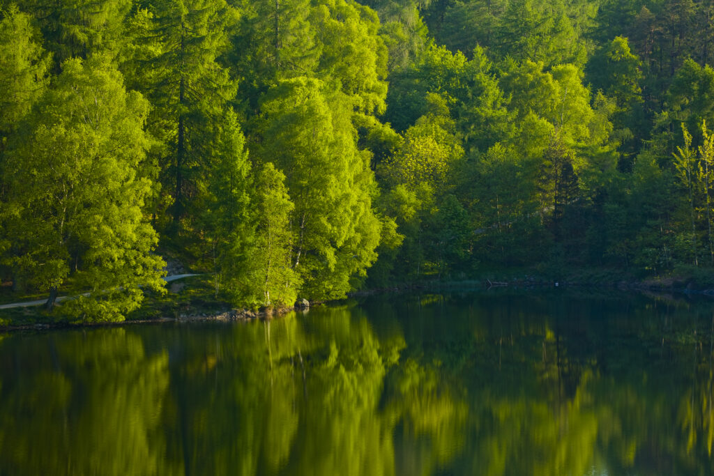
England, Cumbria, Lake District National Park. Birch trees reflected in Tarn Hows, a popular tourist destination once owned by Beatrix Potter and almost a totally artificial landmark. Tarn Hows was actually once two smaller tarns before previous owners merged the two and crafted the surrounding landscape to form the Tarn Hows we now know and love.
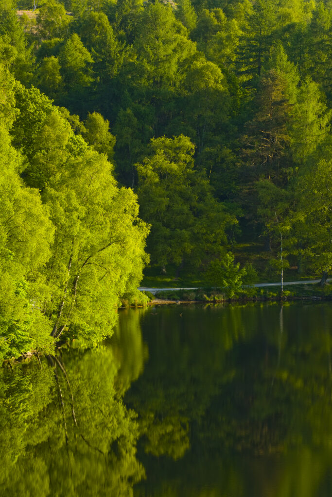
England, Cumbria, Lake District National Park. Birch trees reflected in Tarn Hows, a popular tourist destination once owned by Beatrix Potter and almost a totally artificial landmark. Tarn Hows was actually once two smaller tarns before previous owners merged the two and crafted the surrounding landscape to form the Tarn Hows we now know and love.
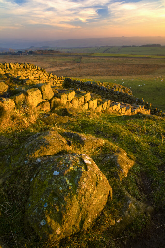
England, Northumberland Hadrians Wall. The world heritage site of Hadrians Wall near the town of Once Brewed.
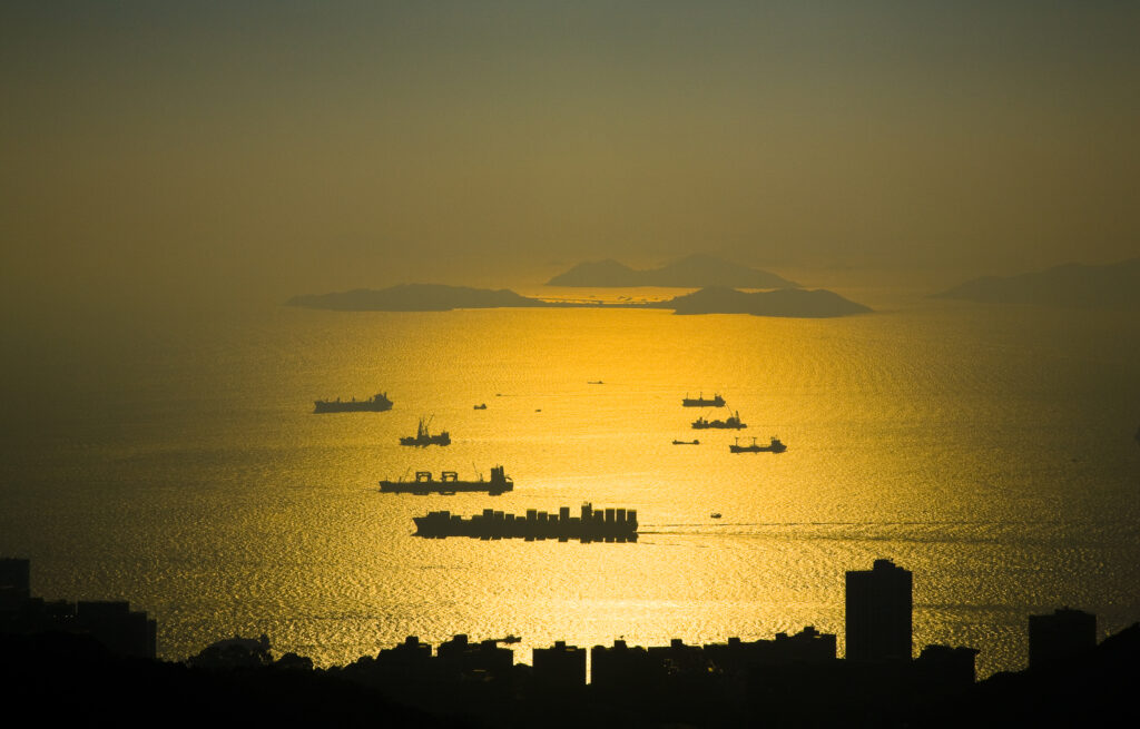
People's Republic of China, Hong Kong Special Administrative Region, Hong Kong Island. Sunset viewed from near the Peak complex.

People's Republic of China, Hong Kong Special Administrative Region, Hong Kong Island. Abstract view of the modern architecture of the Hong Kong financial district.
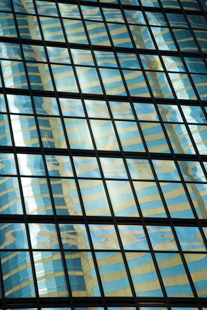
People's Republic of China, Hong Kong Special Administrative Region, Hong Kong Island. Abstract view of the modern architecture of the Hong Kong financial district.
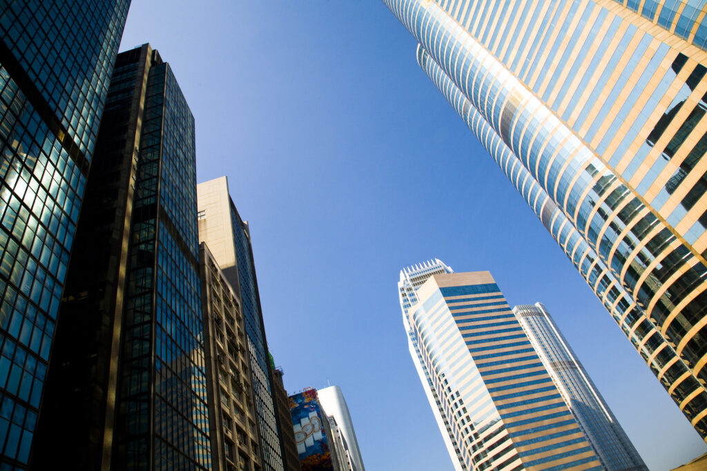
People's Republic of China, Hong Kong Special Administrative Region, Hong Kong Island. Abstract view of the modern architecture of the Hong Kong financial district.

People's Republic of China, Hong Kong Special Administrative Region, Hong Kong Island. Abstract view of the modern architecture of the Hong Kong financial district.

People's Republic of China, Hong Kong Special Administrative Region, Hong Kong Island. Abstract view of the modern architecture of the Hong Kong financial district.

People's Republic of China, Hong Kong Special Administrative Region, Hong Kong Island. Abstract view of the modern architecture of the Hong Kong financial district.
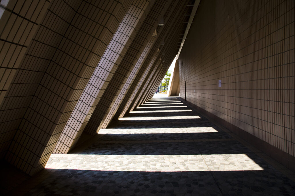
People's Republic of China, Hong Kong Special Administrative Region, Kowloon. Abstract view of a building near the public square in Tsim Sha Tsui.
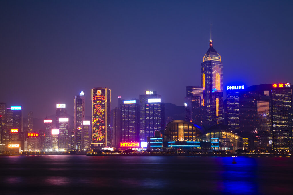
People's Republic of China, Hong Kong Special Administrative Region, Kowloon. The skyline of Kong Kong island viewed at dusk across Victoria Harbour from Kowloon.
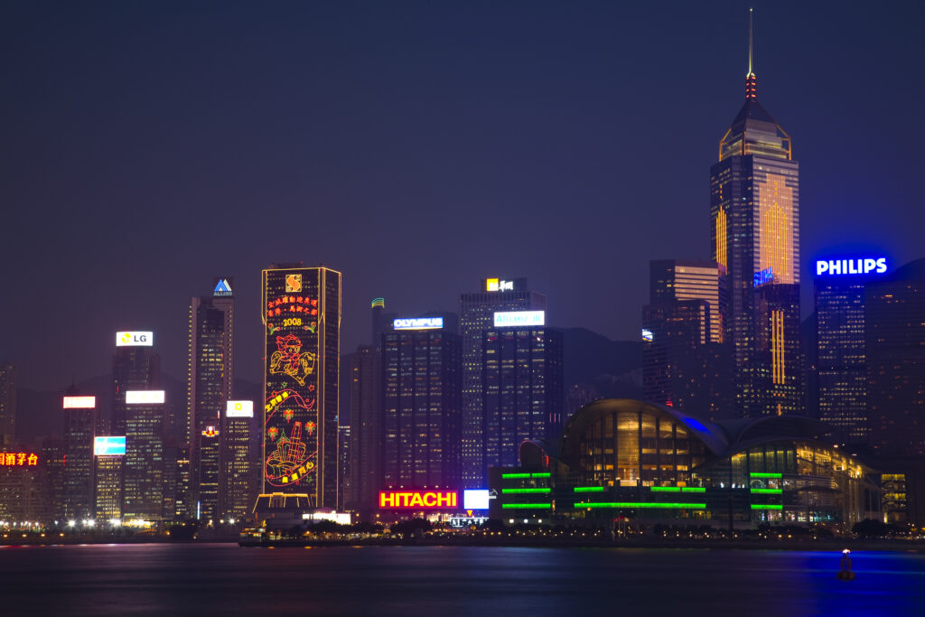
People's Republic of China, Hong Kong Special Administrative Region, Kowloon. The skyline of Kong Kong island viewed at dusk across Victoria Harbour from Kowloon.
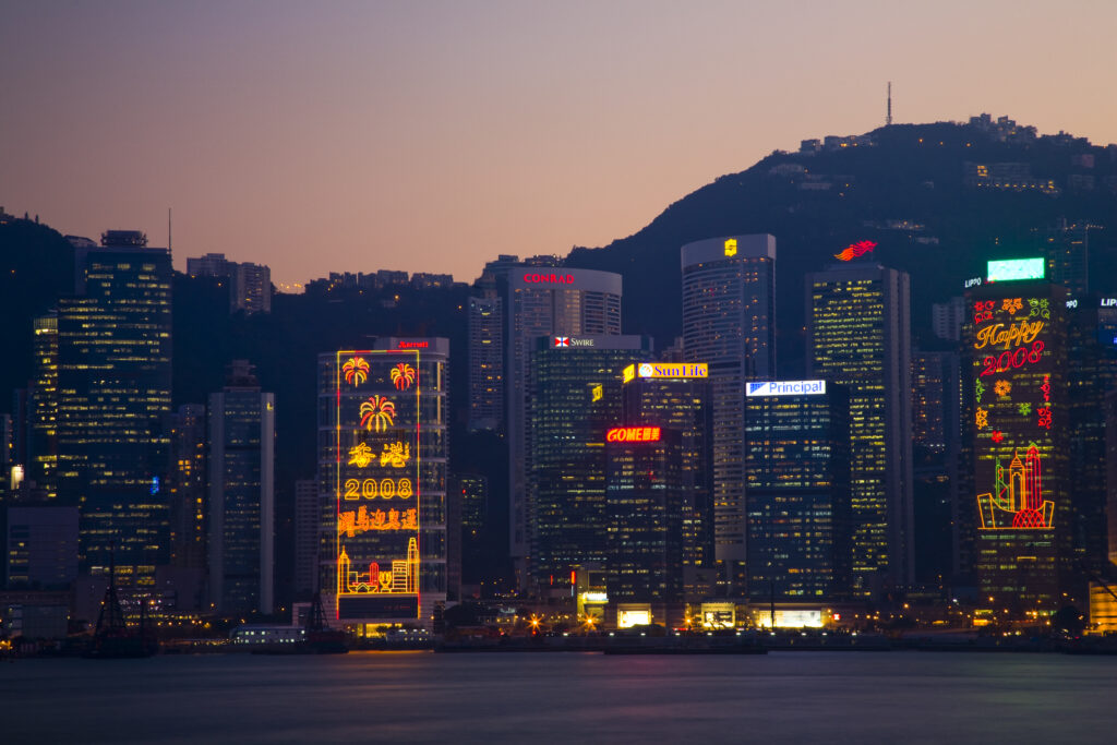
People's Republic of China, Hong Kong Special Administrative Region, Kowloon. The skyline of Kong Kong island viewed at dusk across Victoria Harbour from Kowloon.
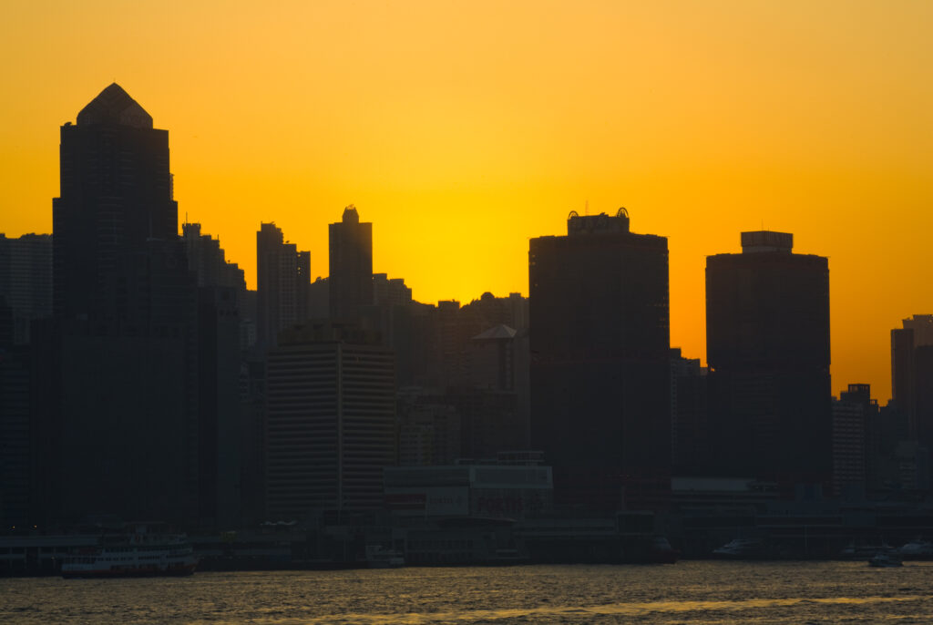
People's Republic of China, Hong Kong Special Administrative Region, Kowloon. The skyline of Kong Kong island viewed at sunset across Victoria Harbour from Kowloon.
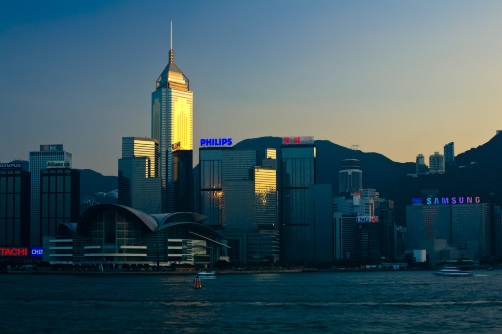
People's Republic of China, Hong Kong Special Administrative Region, Kowloon. The skyline of Kong Kong island viewed across Victoria Harbour from Kowloon.
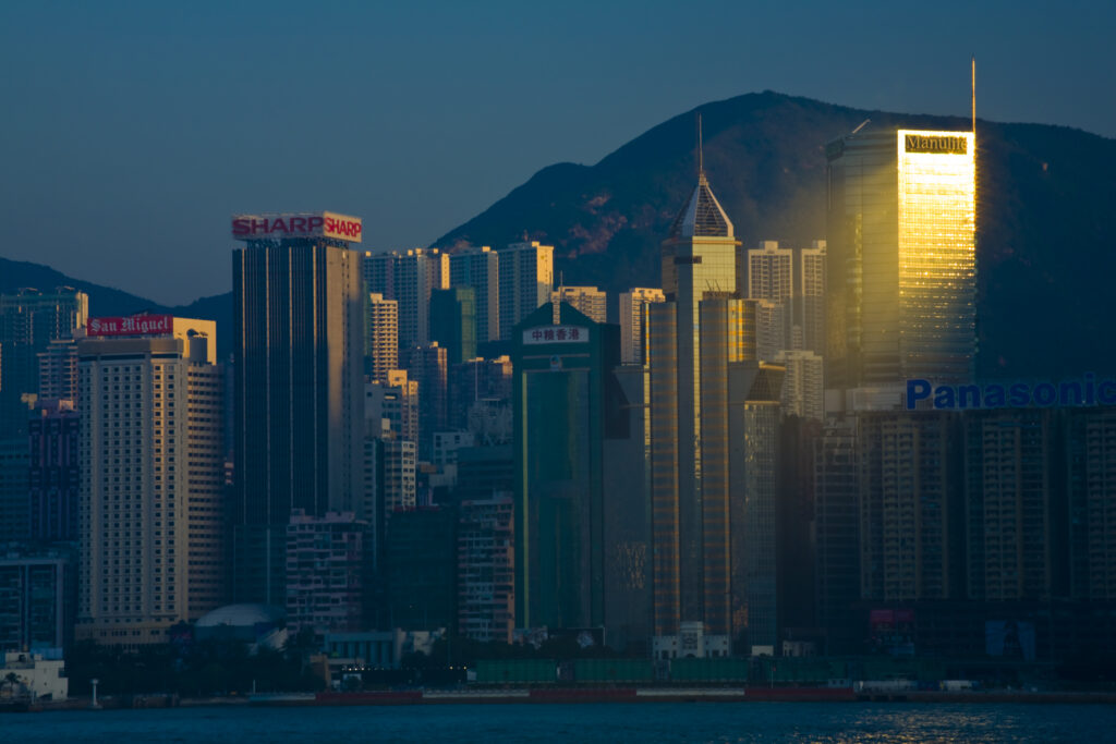
People's Republic of China, Hong Kong Special Administrative Region, Kowloon. The skyline of Kong Kong island viewed across Victoria Harbour from Kowloon.
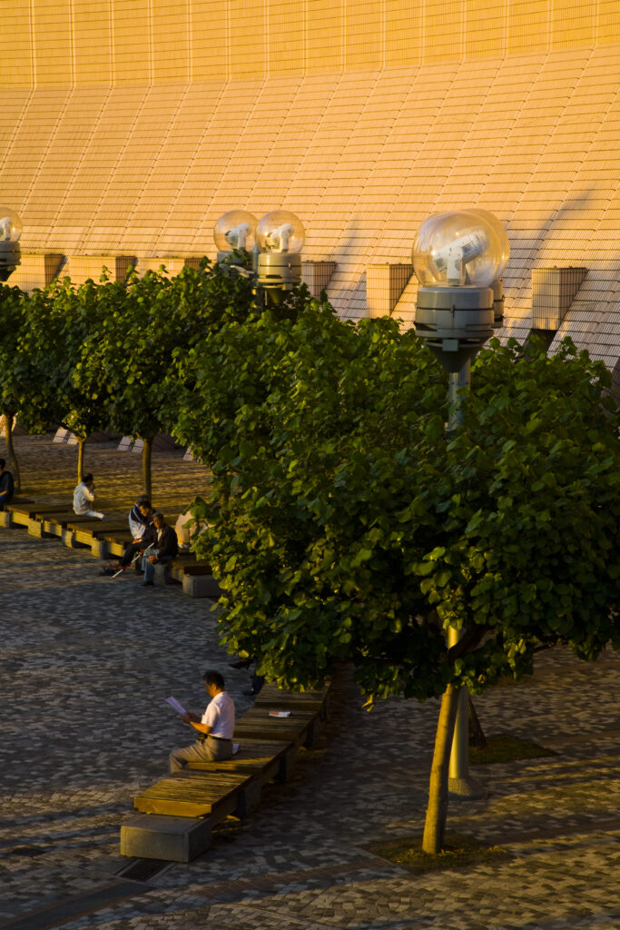
People's Republic of China, Hong Kong Special Administrative Region, Kowloon. Late afternoon light bathes a public square in Tsim Sha Tsui.
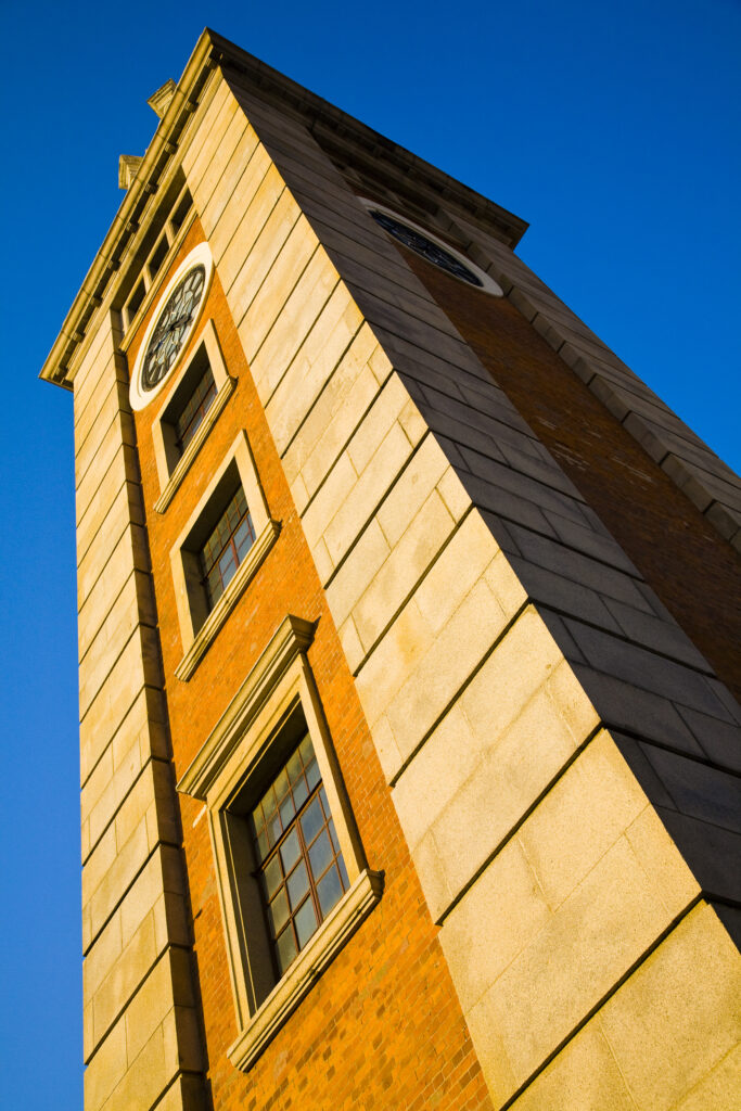
People's Republic of China, Hong Kong Special Administrative Region, Kowloon. The Clock Tower in Tsim Sha Tsui, a famous landmark of Kowloon.
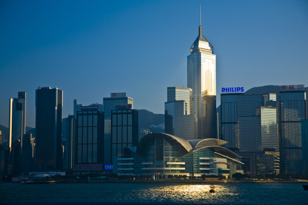
People's Republic of China, Hong Kong Special Administrative Region, Kowloon. The skyline of Kong Kong island viewed across Victoria Harbour from Kowloon.
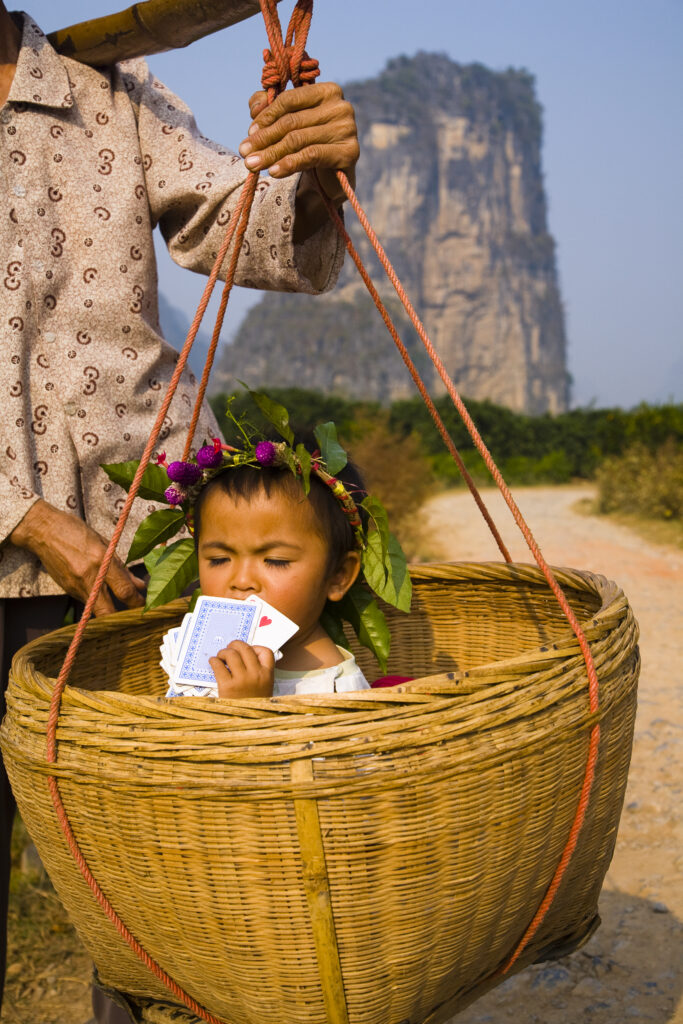
China, Guangxi Zhuang Autonomous Region, Yangshuo County. Young chinese child being carried in an hand woven basket along a rural road running through an agriculture landscape dominated by the Karst peaks of Yangshuo County.
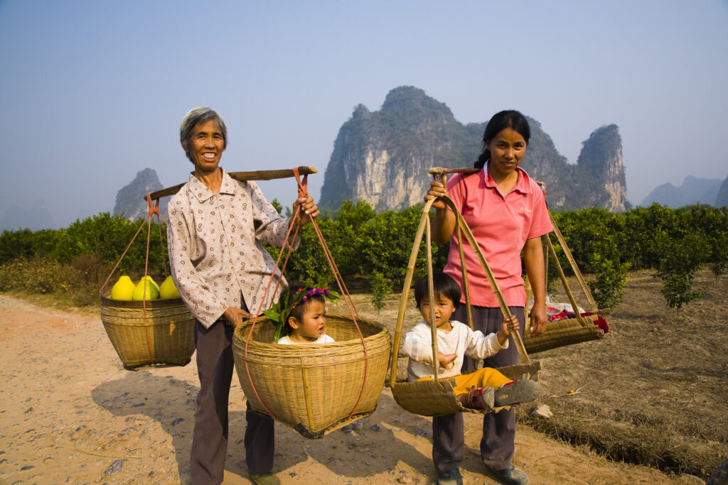
China, Guangxi Zhuang Autonomous Region, Yangshuo County. Two rural farm workers carry fruit and their children in hand woven baskets along a rural road running through an agriculture landscape dominated by the Karst peaks of Yangshuo County.
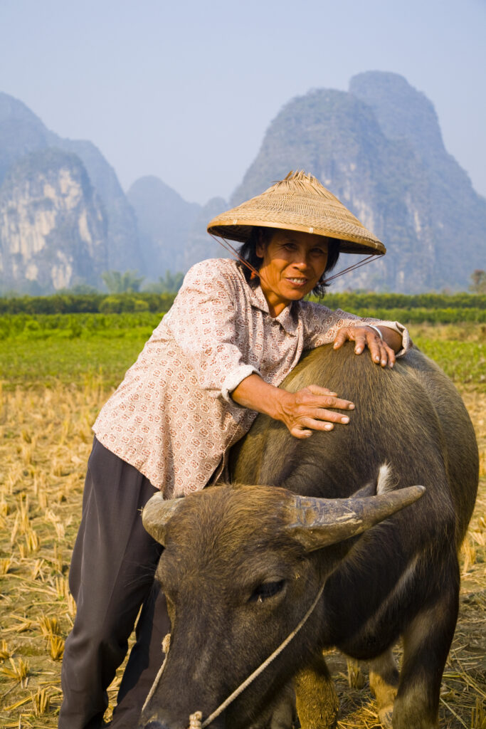
China, Guangxi Zhuang Autonomous Region, Yangshuo County. A chinese farmworker wearing a typical chinese hat, admires her domestic Buffalo which is grazing in an agriculture landscape dominated by the Karst peaks of Yangshuo County.
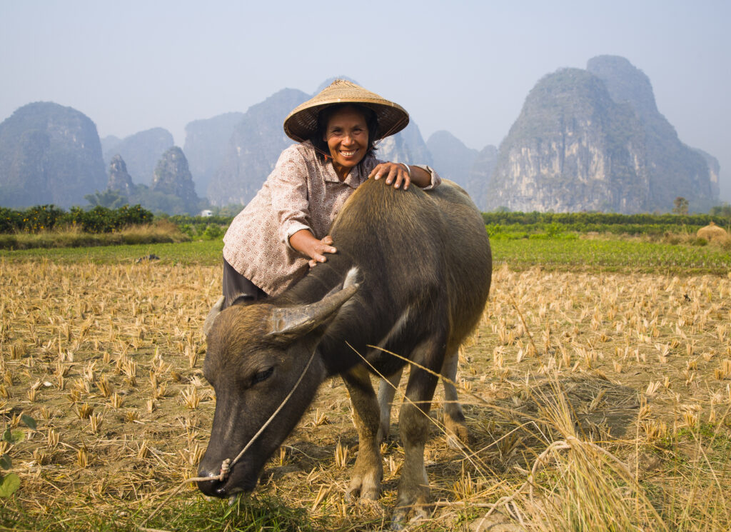
China, Guangxi Zhuang Autonomous Region, Yangshuo County. A chinese farmworker wearing a typical chinese hat, admires her domestic Buffalo which is grazing in an agriculture landscape dominated by the Karst peaks of Yangshuo County.
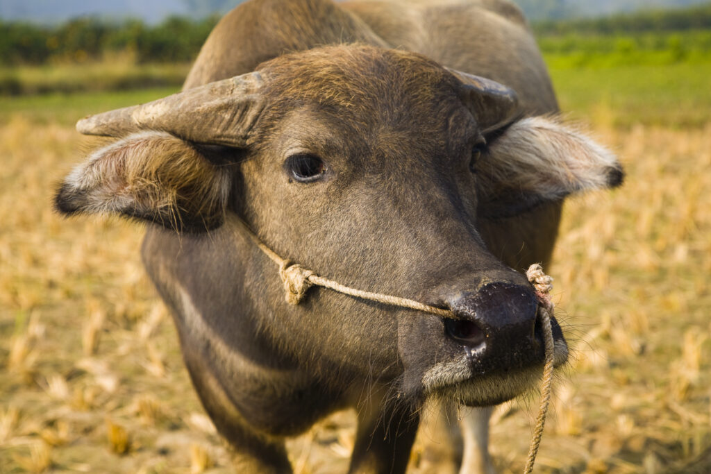
China, Guangxi Zhuang Autonomous Region, Yangshuo County. Domestic Buffalo grazing in an agriculture landscape which is dominated by the Karst peaks of Yangshuo County.
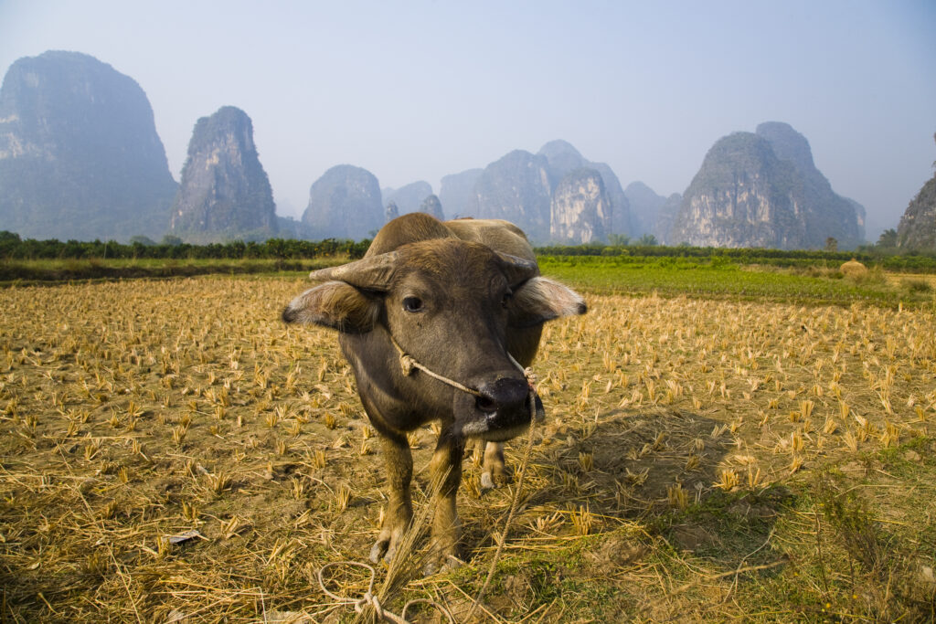
China, Guangxi Zhuang Autonomous Region, Yangshuo County. Domestic Buffalo grazing in an agriculture landscape which is dominated by the Karst peaks of Yangshuo County.
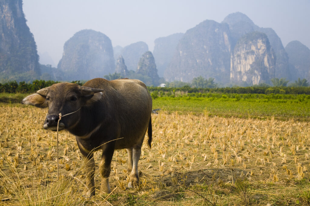
China, Guangxi Zhuang Autonomous Region, Yangshuo County. Domestic Buffalo grazing in an agriculture landscape which is dominated by the Karst peaks of Yangshuo County.
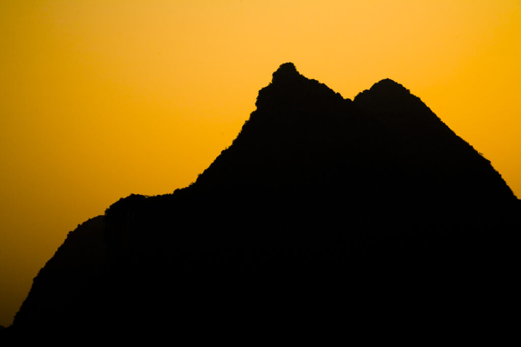
China, Guangxi Zhuang Autonomous Region, Yangshuo County. Sunset behind a karst peak near the town of Yangshuo.
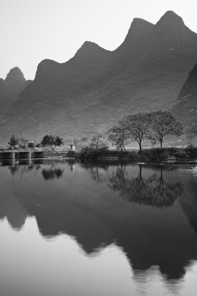
China, Guangxi Zhuang Autonomous Region, Yangshuo County. The Li River and karst peaks near the town of Yangshuo.
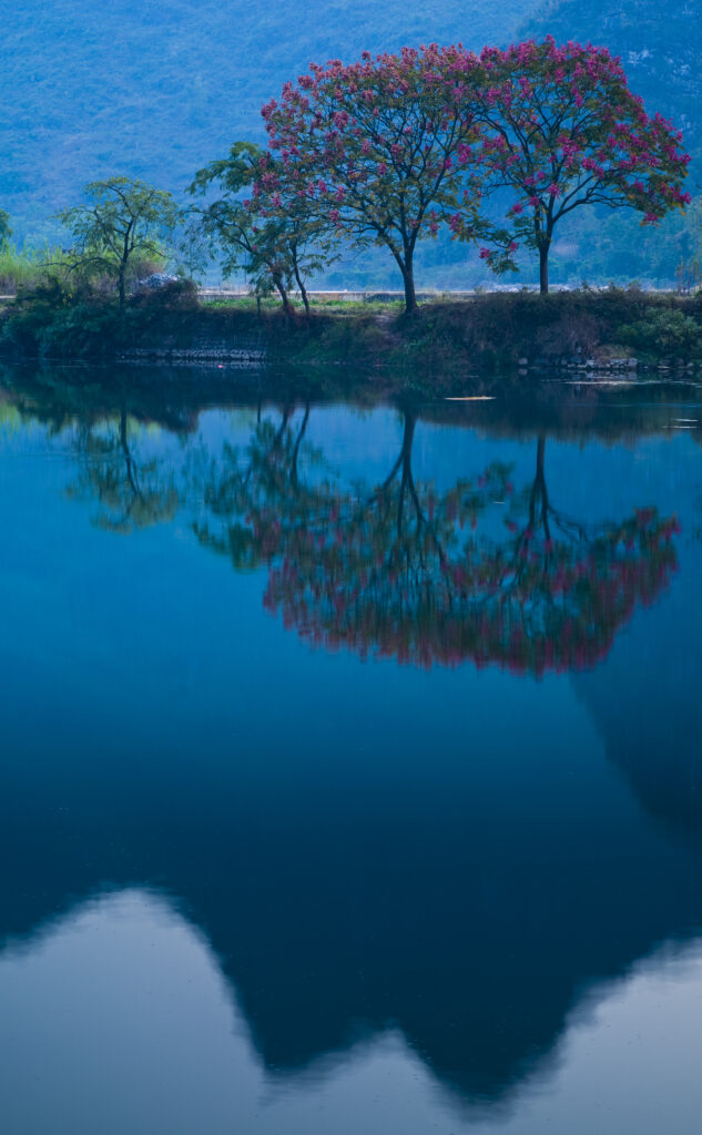
China, Guangxi Zhuang Autonomous Region, Yangshuo County. The Li River and karst peaks near the town of Yangshuo.
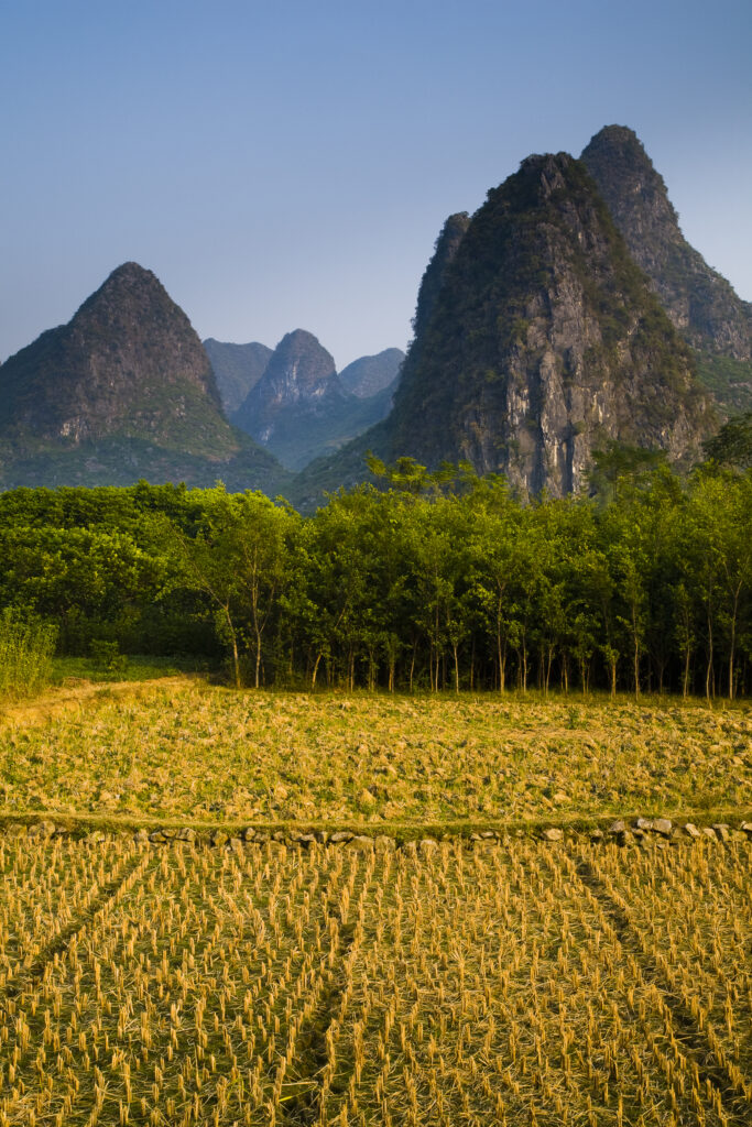
China, Guangxi Zhuang Autonomous Region, Yangshuo County. Agriculture landscape dominated by the Karst peaks of Yangshuo County near the town of Yangshuo.
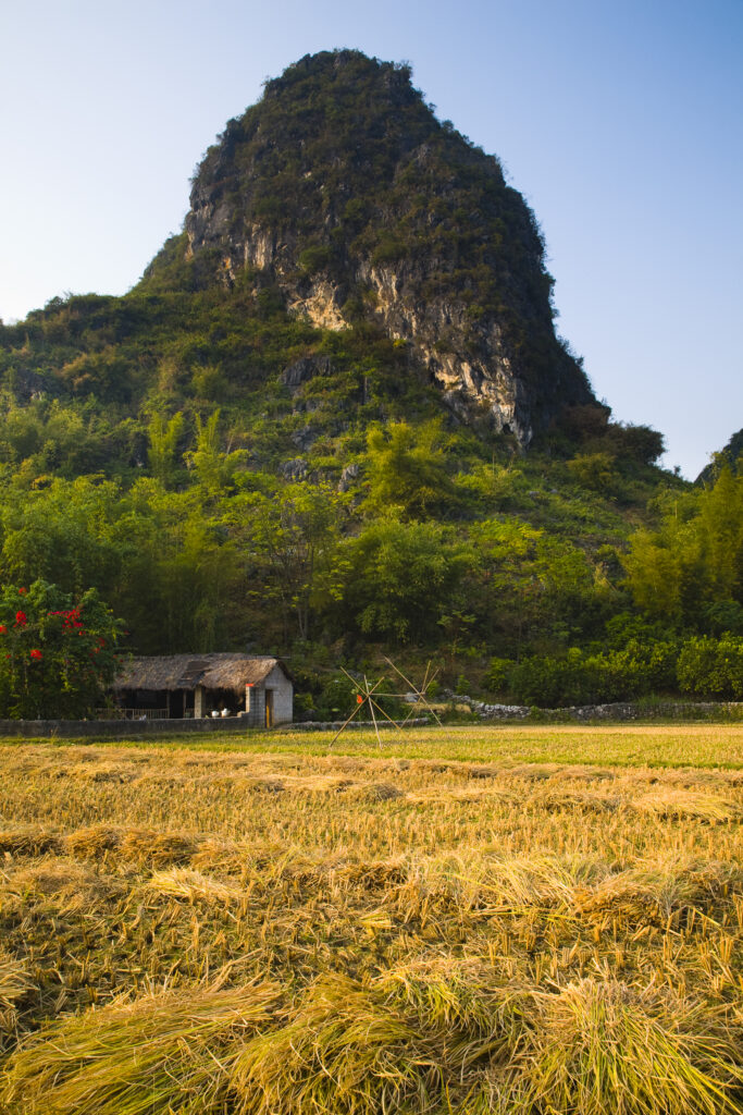
China, Guangxi Zhuang Autonomous Region, Yangshuo County. Agriculture landscape dominated by the Karst peaks of Yangshuo County near the town of Yangshuo.
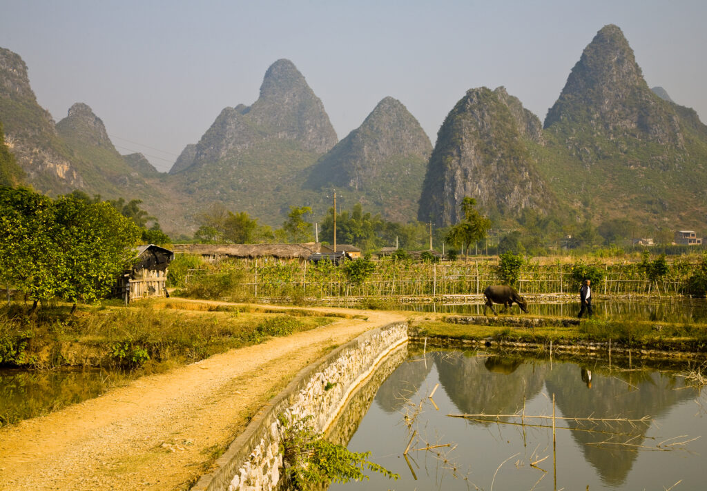
China, Guangxi Zhuang Autonomous Region, Yangshuo County. Agriculture landscape dominated by the Karst peaks of Yangshuo County near the town of Yangshuo.
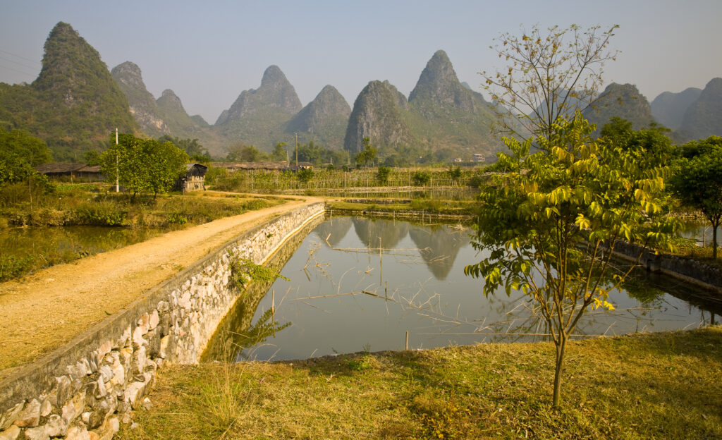
China, Guangxi Zhuang Autonomous Region, Yangshuo County. Agriculture landscape dominated by the Karst peaks of Yangshuo County near the town of Yangshuo.
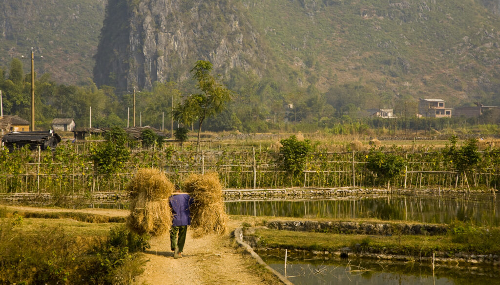
China, Guangxi Zhuang Autonomous Region, Yangshuo County. Farm worker carries two stacks of hay on a stick across his shoulders, along a path through farmland dominated by Karst peaks.
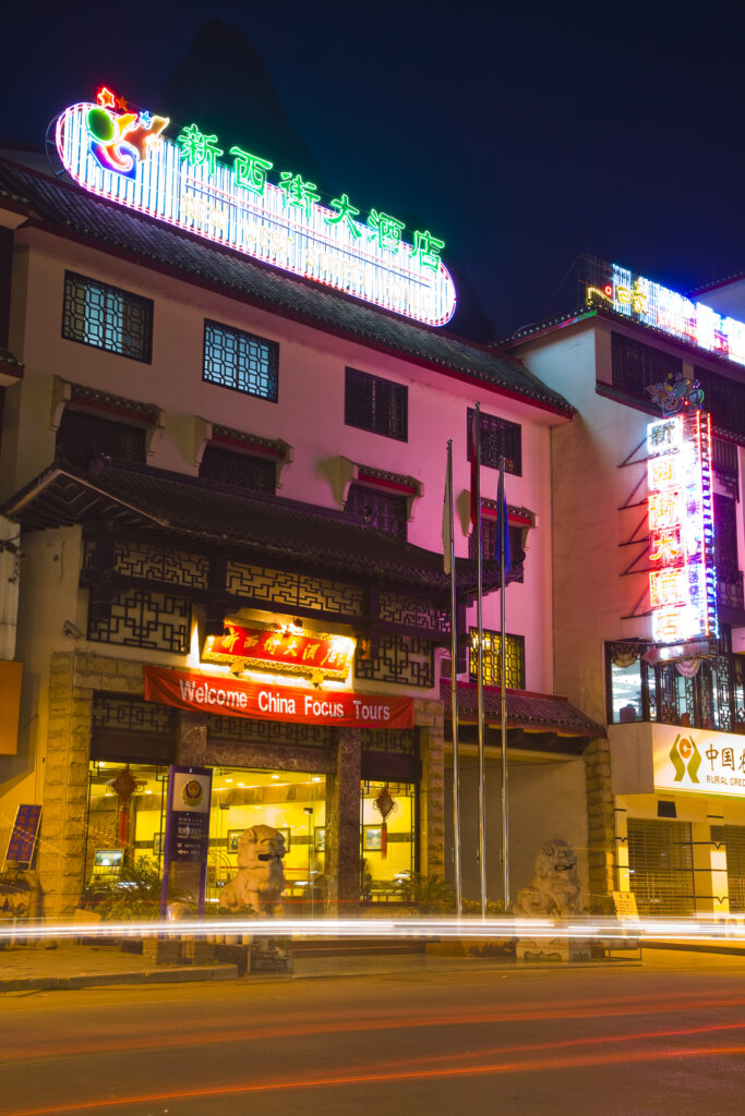
China, Guangxi Zhuang Autonomous Region, Yangshuo City. Busy traffic running through a chinese city at night with a backdop of limestone karst hills.
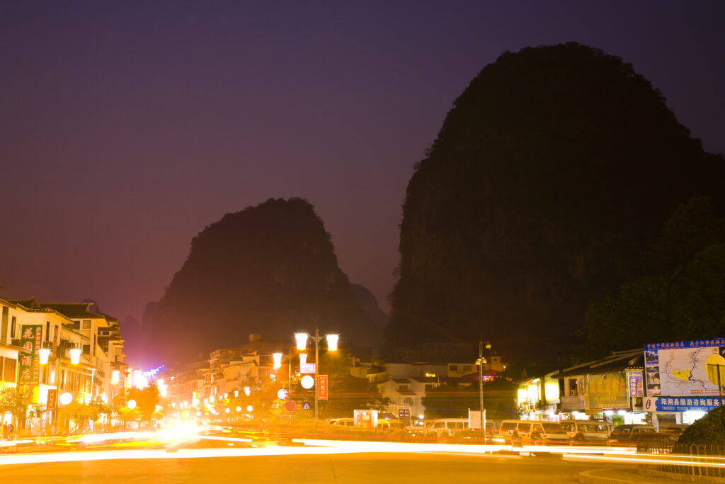
China, Guangxi Zhuang Autonomous Region, Yangshuo City. Busy traffic running through a chinese city at night with a backdop of limestone karst hills.
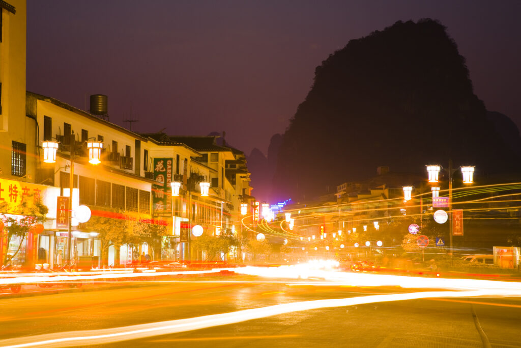
China, Guangxi Zhuang Autonomous Region, Yangshuo City. Busy traffic running through a chinese city at night with a backdop of limestone karst hills.
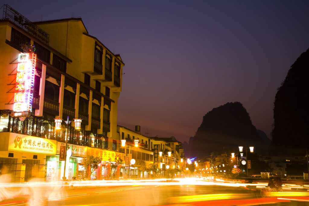
China, Guangxi Zhuang Autonomous Region, Yangshuo City. Busy traffic running through a chinese city at night with a backdop of limestone karst hills.
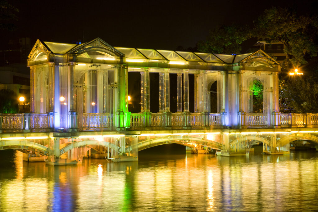
China, Guangxi Zhuang Autonomous Region, Guilin City. A glass bridge crossing over to a small island from the lakeside near downtown Guilin.
Favourites
Photofeed
