
Your search for “Ear” returned 3346 images.
Clear Search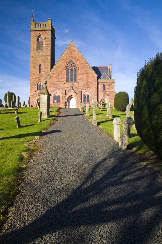
Scotland, Scottish Borders, Earlston. The parish church of Earlston, a small village located north of Melrose.
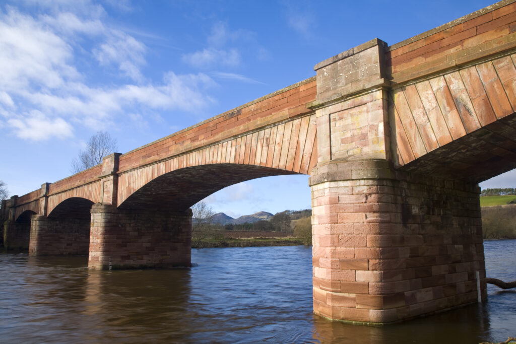
Scotland, Scottish Borders, St Boswells. The impressive Mertoun Bridge spanning across the river Tweed near St Boswells.
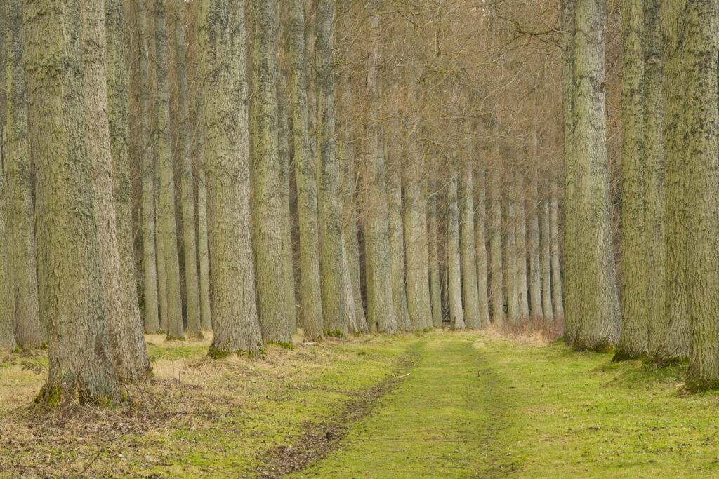
Scotland, Scottish Borders, Liddesdale. Morning St Boswells. Poplar trees growing in the Mertoun Estate near the town of St Boswells.
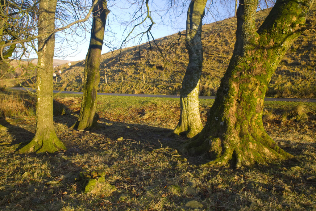
Scotland, Scottish Borders. Gentle morning light bathes a small pocket of woodland near the Ettrick Valley.
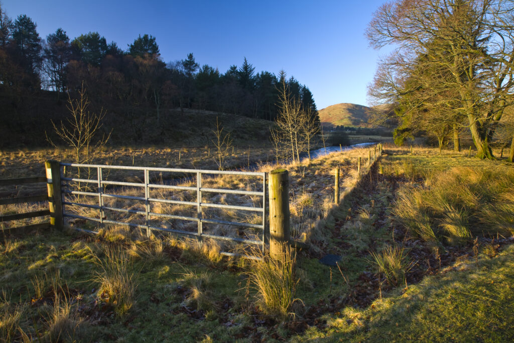
Scotland, Scottish Borders. Typical borders scene of farmland, plantation and rolling upland hills near the Ettrick Valley.
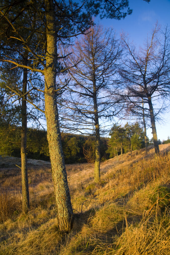
Scotland, Scottish Borders, Craik Forest. Early morning light softly illuminates a group of trees on the edge of the Craik Forest.
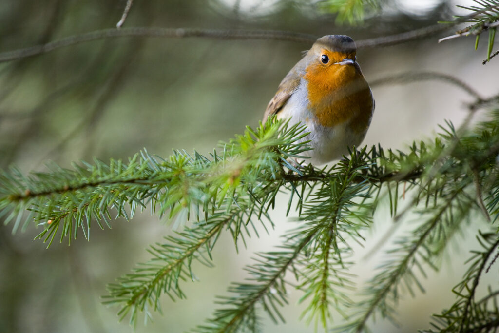
Scotland, Scottish Borders, Alemoor Loch. An inquisitive Robin rests on a branch in woodland near Alemoor Loch.
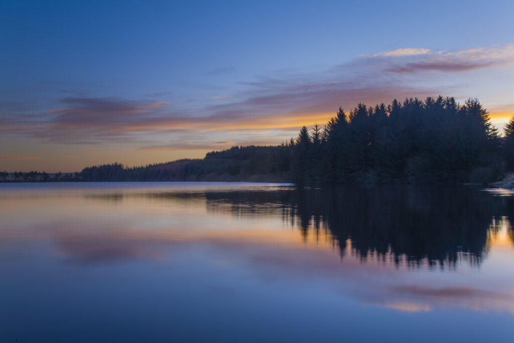
Scotland, Scottish Borders, Alemore Loch. Sunrise reflected in the tranquil waters of the Alemoor Loch, a popular place for recreational fishing near the town of Hawick.
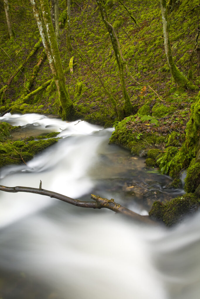
Scotland, Scottish Borders. Fast flowing stream shortly before it joins Borthwick Water near Roberton.
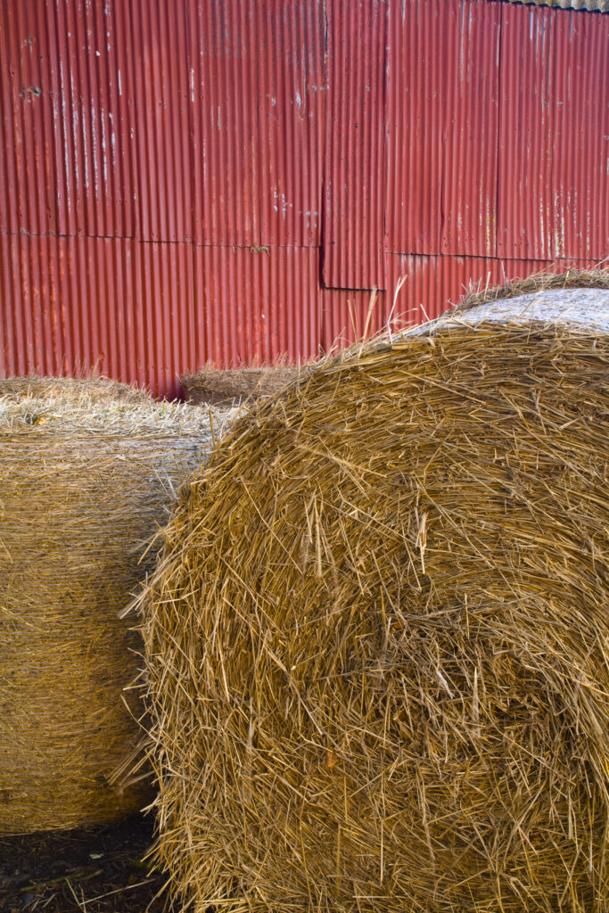
Scotland, Scottish Borders, Duns. Hay bales stacked outside a barn near Duns.
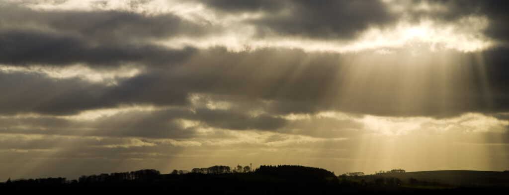
Scotland, Scottish Borders, Harelaw Moor. Shafts of light break through storm clouds near Harelaw Moor.
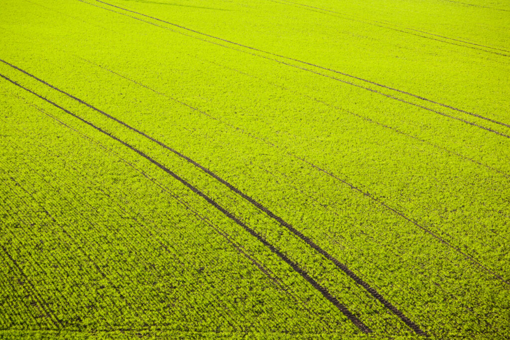
Scotland, Scottish Borders, Hareheugh. Patterns in agriculture land near Hareheugh.
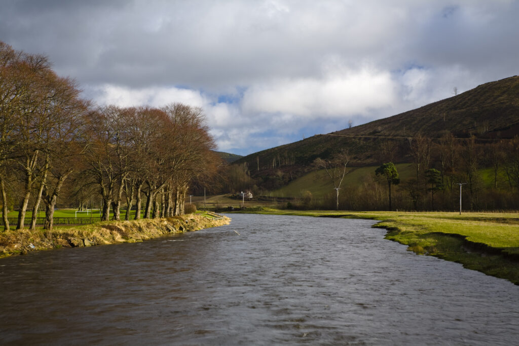
Scotland, Scottish Borders, Tweed Valley. The River Tweed near the small village of Walkerburn in the Tweed Valley.
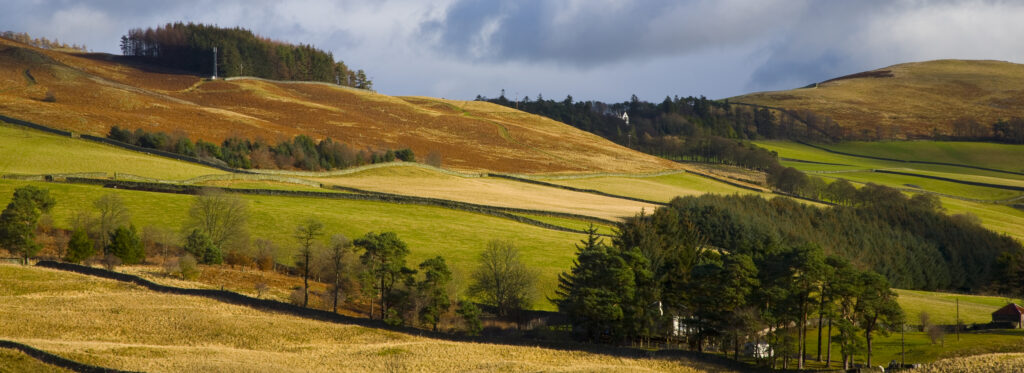
Scotland, Scottish Borders, Tweed Valley.Panoramic view of the Tweed Valley, viewed from near Walkerburn.
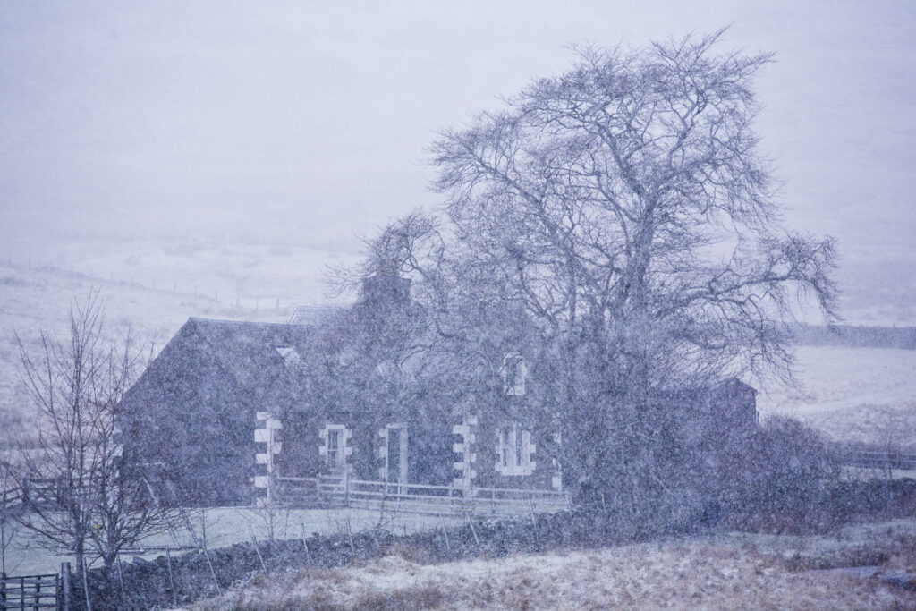
Scotland, Scottish Borders, Glentude Hill. A snow blizzard engulfs a farm house situated near the remote Glenlude Hill.
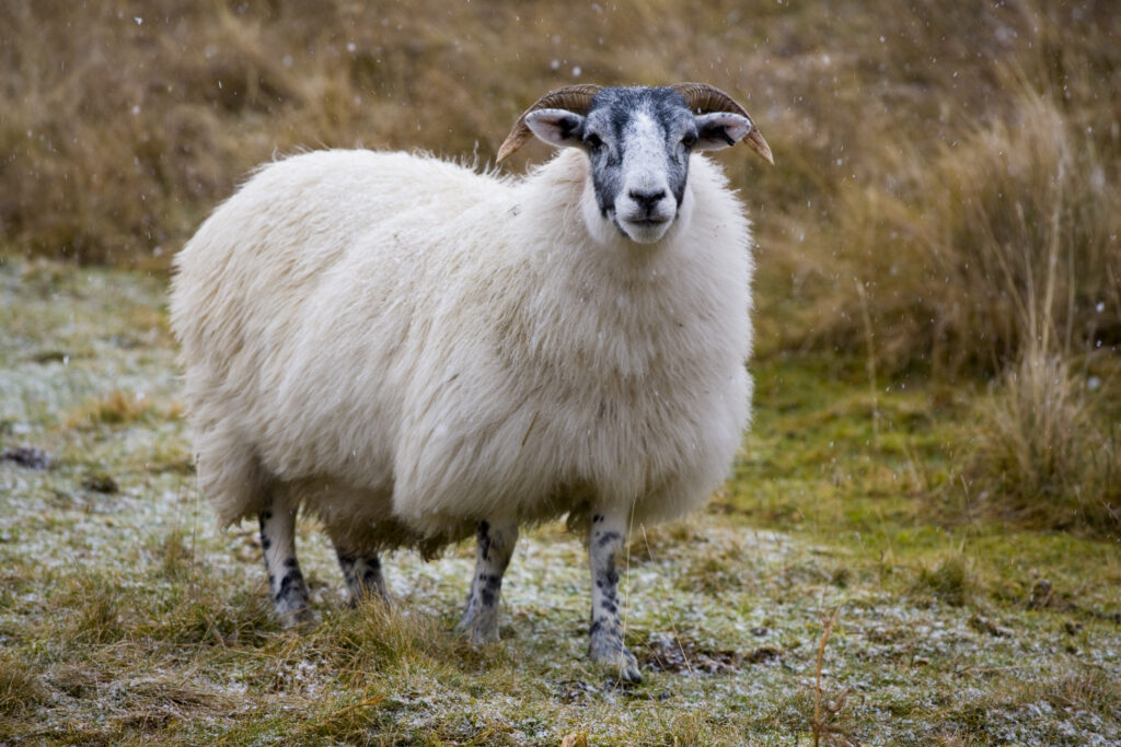
Scotland, Scottish Borders, Sheep near Glentude Hill. A thick coat of wool helps to ensure that grazing sheep can survive the hostile environment of the winter months in the Scottish Borders.
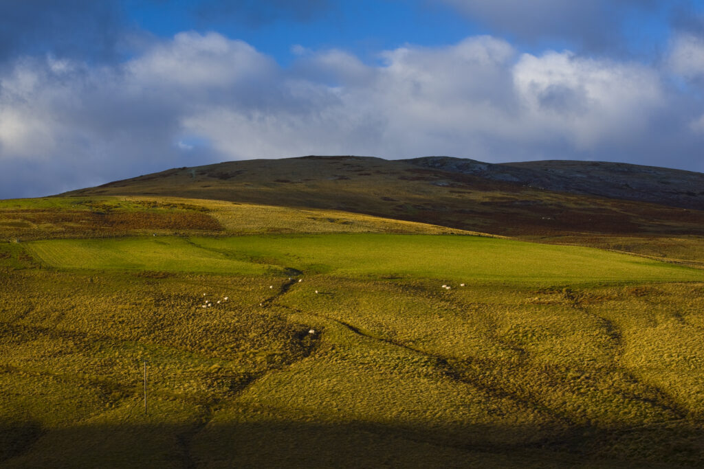
Scotland, Scottish Borders. Sun breaking though a storm highlights the features of the uplands to be found near Blake Muir.
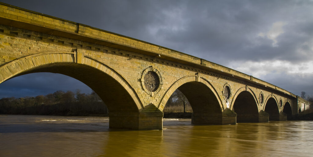
Scotland, Scottish Borders, Coldstream. Smeaton's seven arched bridge near Coldstream, was constructed between 1763 to 1766. Robert Burns famously crossed the bridge into England for the first time on the 7th May 1787.
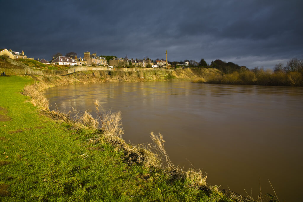
Scotland, Scottish Borders, Coldstream. The River Tweed dominates the landscape near Coldstream, the self proclaimed first true border ‘toon’.
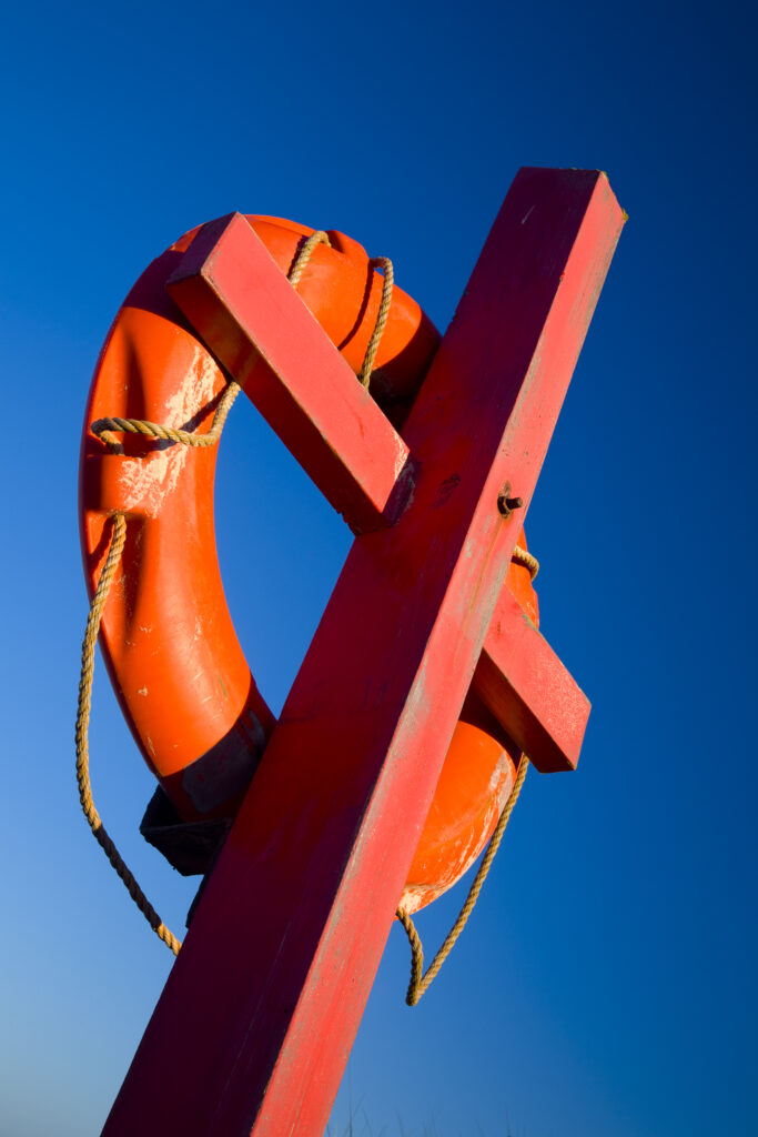
England, Northumberland, Heritage Coast. Red Life Ring against a blue sky, photographed near Bamburgh on the heritage coast.
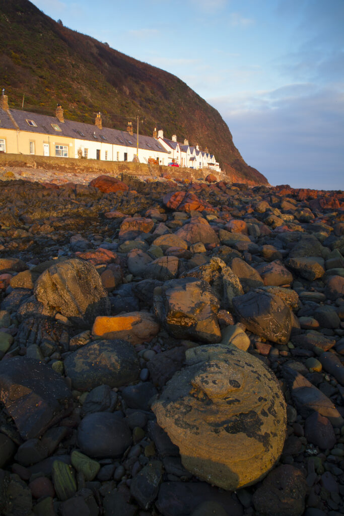
Scotland, Scottish Borders, Burnmouth. Early morning sun illuminates the rocky coastline to be found near the village of Burnmouth.
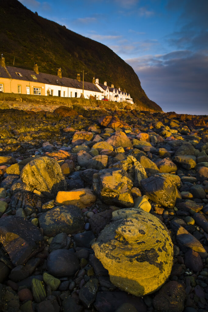
Scotland, Scottish Borders, Burnmouth. Early morning sun illuminates the rocky coastline to be found near the village of Burnmouth.
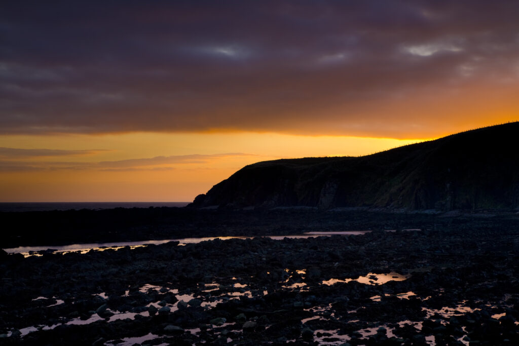
Scotland, Scottish Borders, Burnmouth. Sunrise over the North Sea near the village of Burnmouth – the first settlement to be found in Scotland after crossing the English border near the coast.
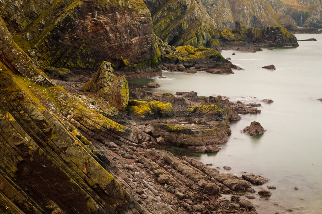
Scotland, Scottish Borders, Wauchope Forest. Uplifted rock layers at Petticot Wick near St Abbs.
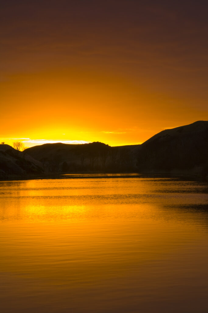
Scotland, Scottish Borders, Mire Loch. Sunrise reflected in Mire Loch, near the dramatic coastline of St Abbs head.
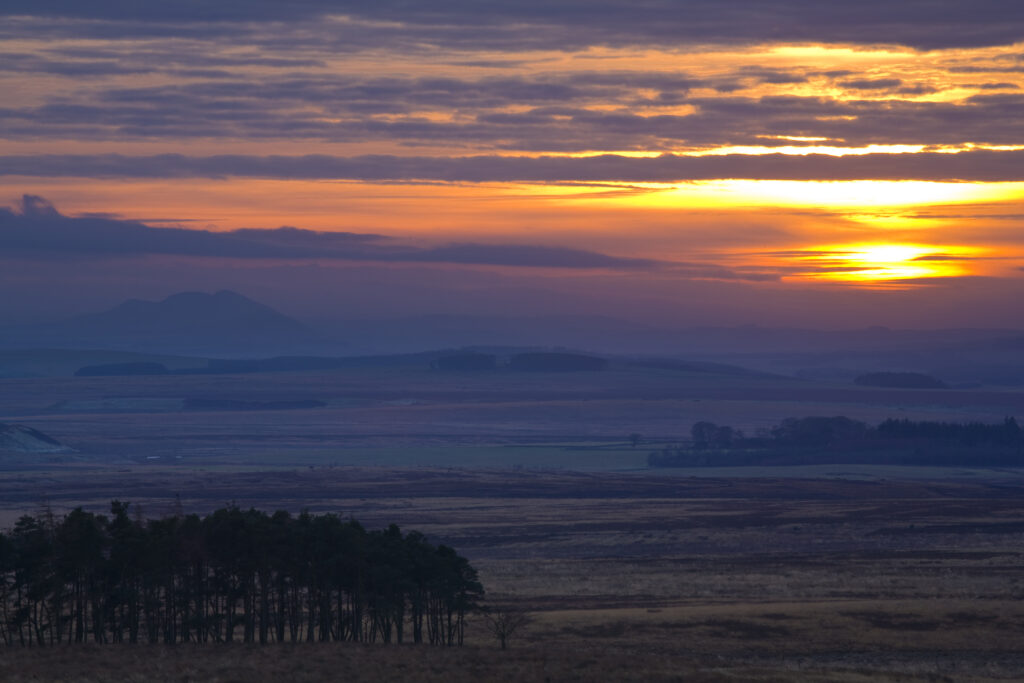
Scotland, Scottish Borders, Eildon Hills. Hazy sunset looking towards the Eildon Hills from near the town of Duns.
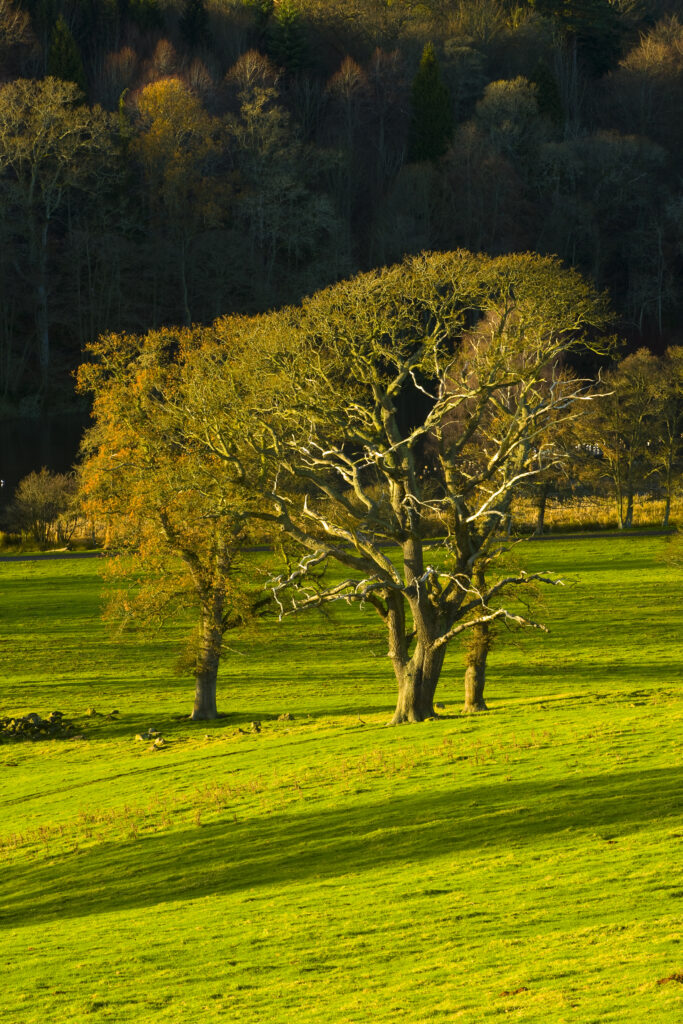
Scotland, Scottish Borders, Duns. A small pocket of woodland near to Duns Castle.
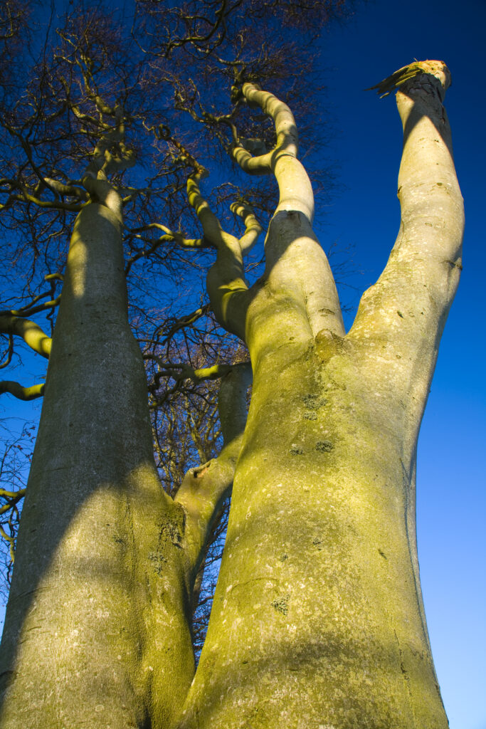
Scotland, Scottish Borders, Duns. A weathered tree stands proud near the town of Duns.
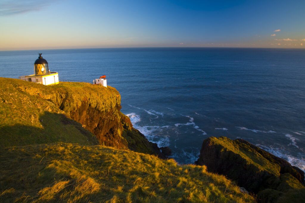
Scotland, Scottish Borders, St Abbs National Nature Reserve. The St Abbs lighthouse, erected in 1862 after the sinking of the ‘Martello’ on Carr Rock five years previously.
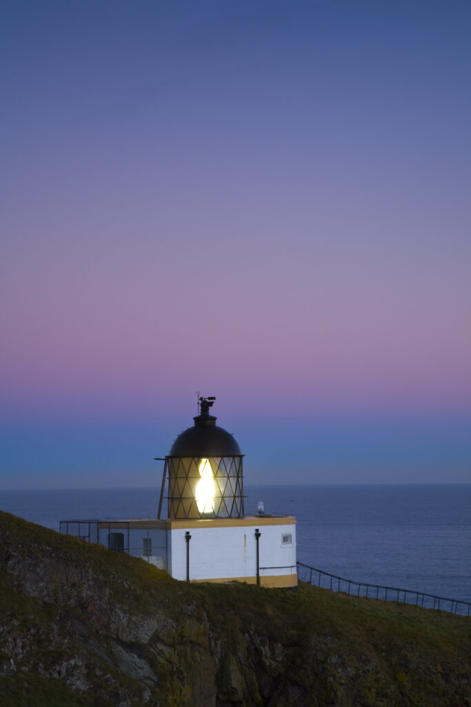
Scotland, Scottish Borders, St Abbs National Nature Reserve. The St Abbs lighthouse, erected in 1862 after the sinking of the ‘Martello’ on Carr Rock five years previously.
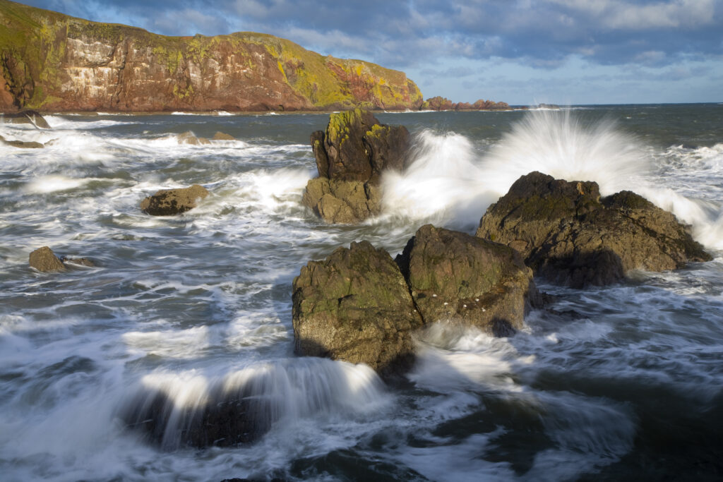
Scotland, Scottish Borders, St Abbs. Winter storms create a huge swell in the North Sea near St Abbs.
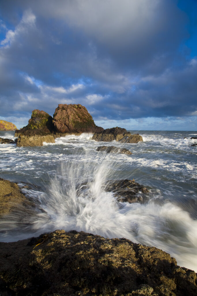
Scotland, Scottish Borders, St Abbs. Waves crashing against rocky outcrops near the harbour of St Abbs.
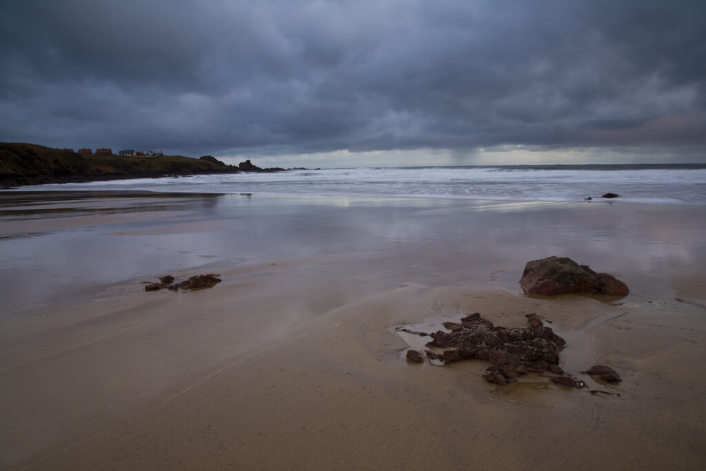
Scotland, Scottish Borders, Coldingham Bay. Storm clouds clear from above the sandy beach to be found at Coldingham Bay.
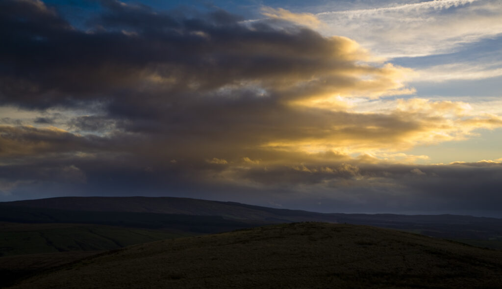
Scotland, Scottish Borders, Liddesdale. Sunset over the hills of Liddesdale near the English border.
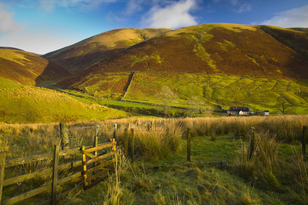
Scotland, Scottish Borders, Liddesdale. Farm gate and undulating scenery near Liddesdale.
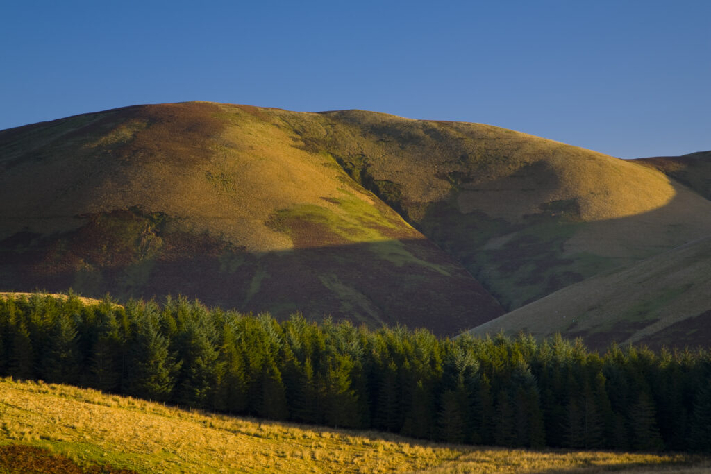
Scotland, Scottish Borders, Liddesdale. Rolling hills and forest plantation near the Dunfries and Galloway border in the Liddesdale area.
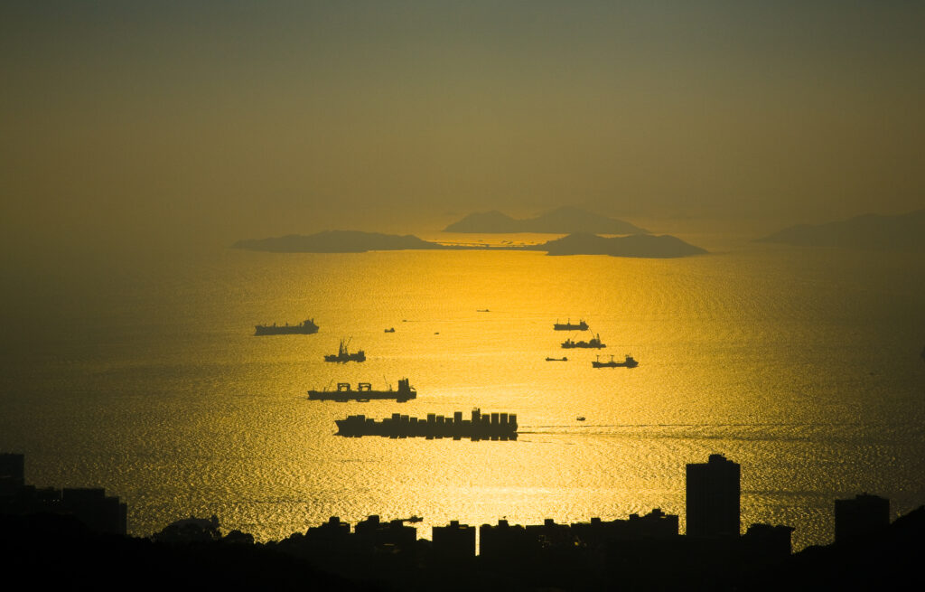
People's Republic of China, Hong Kong Special Administrative Region, Hong Kong Island. Sunset viewed from near the Peak complex.
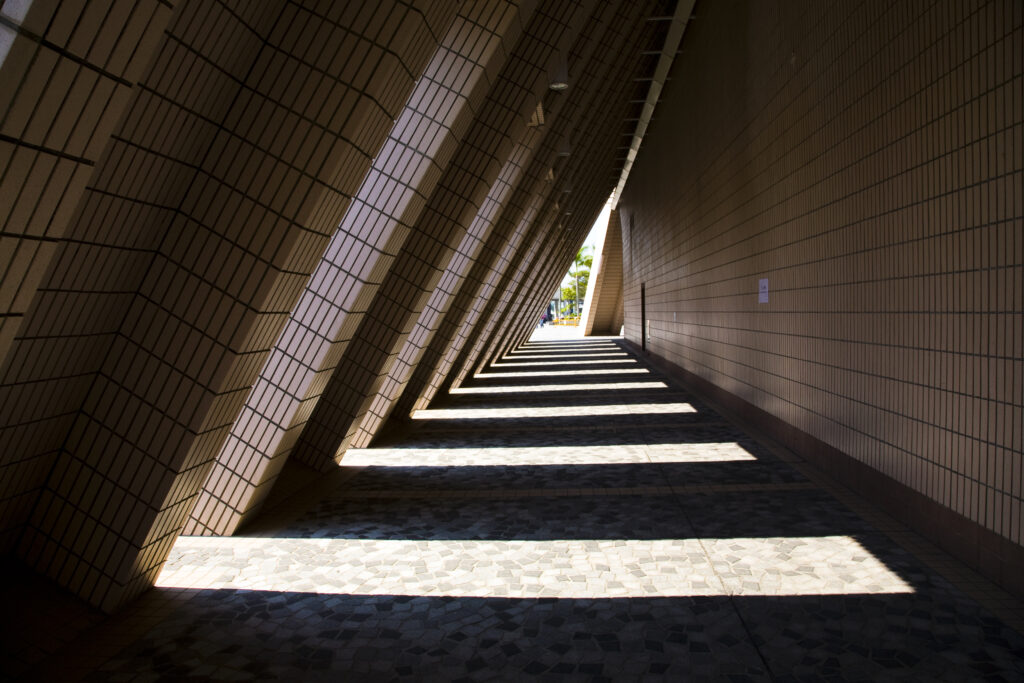
People's Republic of China, Hong Kong Special Administrative Region, Kowloon. Abstract view of a building near the public square in Tsim Sha Tsui.
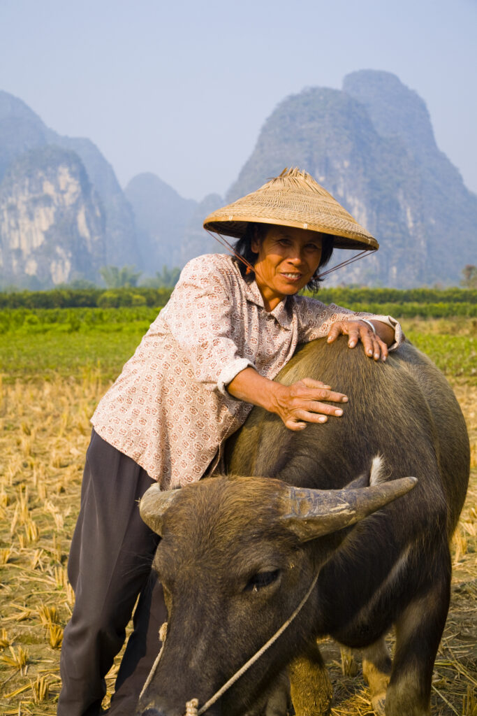
China, Guangxi Zhuang Autonomous Region, Yangshuo County. A chinese farmworker wearing a typical chinese hat, admires her domestic Buffalo which is grazing in an agriculture landscape dominated by the Karst peaks of Yangshuo County.
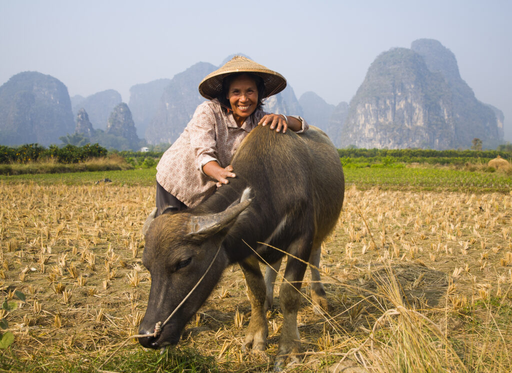
China, Guangxi Zhuang Autonomous Region, Yangshuo County. A chinese farmworker wearing a typical chinese hat, admires her domestic Buffalo which is grazing in an agriculture landscape dominated by the Karst peaks of Yangshuo County.
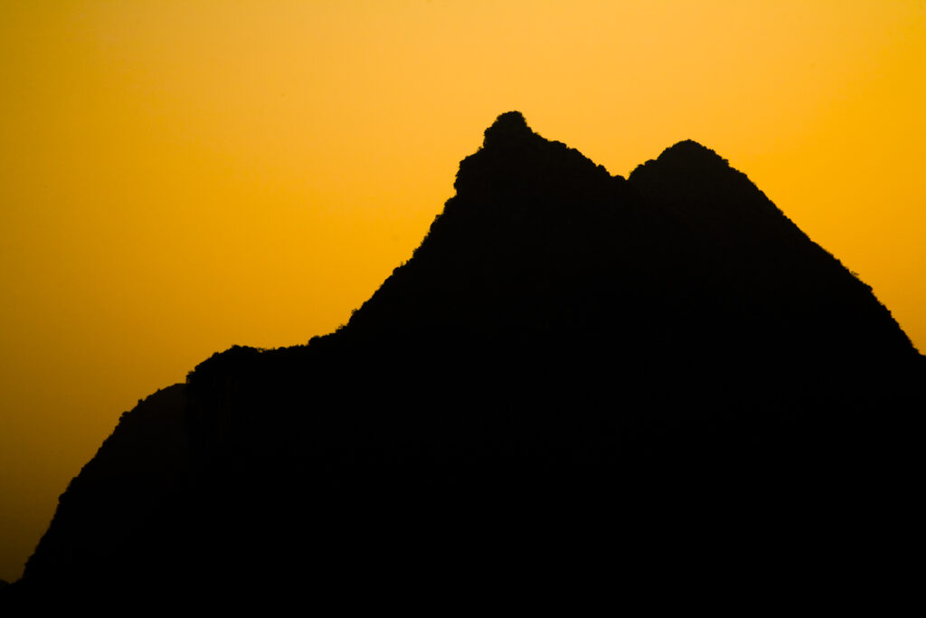
China, Guangxi Zhuang Autonomous Region, Yangshuo County. Sunset behind a karst peak near the town of Yangshuo.
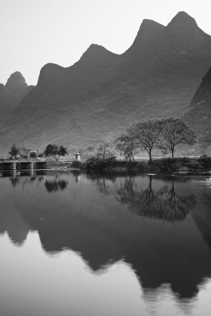
China, Guangxi Zhuang Autonomous Region, Yangshuo County. The Li River and karst peaks near the town of Yangshuo.
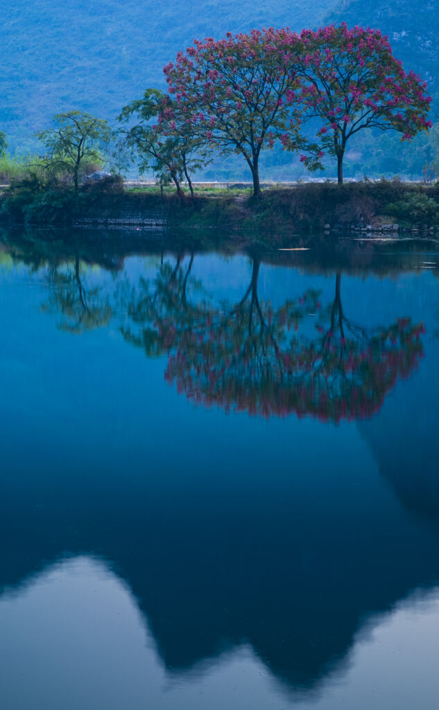
China, Guangxi Zhuang Autonomous Region, Yangshuo County. The Li River and karst peaks near the town of Yangshuo.
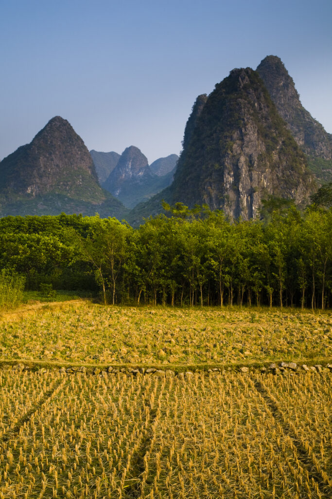
China, Guangxi Zhuang Autonomous Region, Yangshuo County. Agriculture landscape dominated by the Karst peaks of Yangshuo County near the town of Yangshuo.
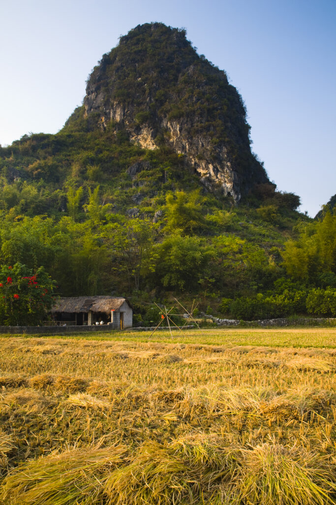
China, Guangxi Zhuang Autonomous Region, Yangshuo County. Agriculture landscape dominated by the Karst peaks of Yangshuo County near the town of Yangshuo.
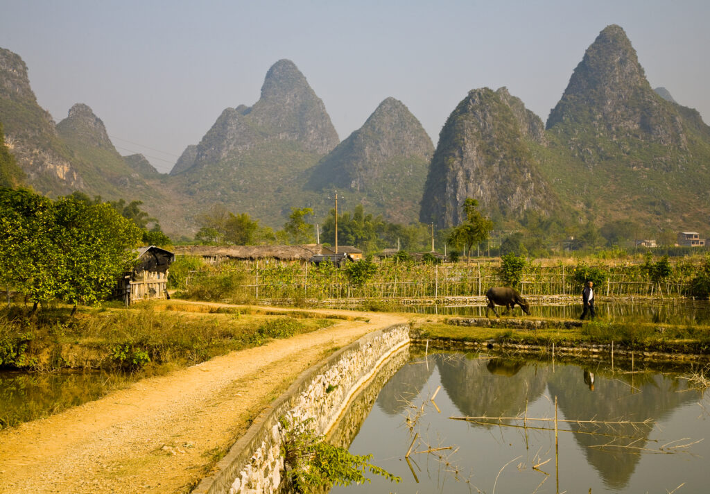
China, Guangxi Zhuang Autonomous Region, Yangshuo County. Agriculture landscape dominated by the Karst peaks of Yangshuo County near the town of Yangshuo.
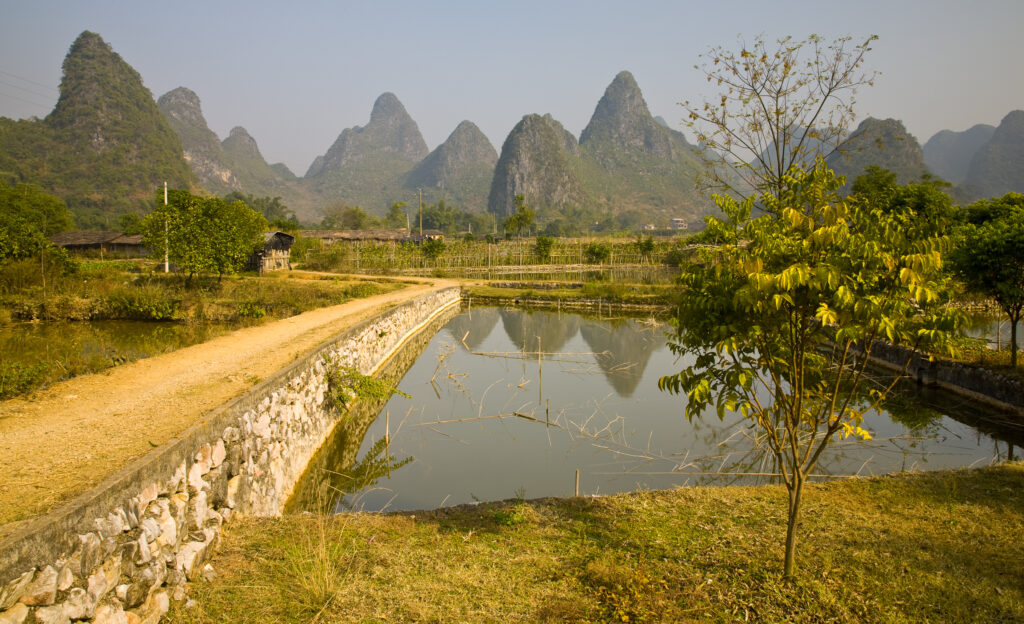
China, Guangxi Zhuang Autonomous Region, Yangshuo County. Agriculture landscape dominated by the Karst peaks of Yangshuo County near the town of Yangshuo.
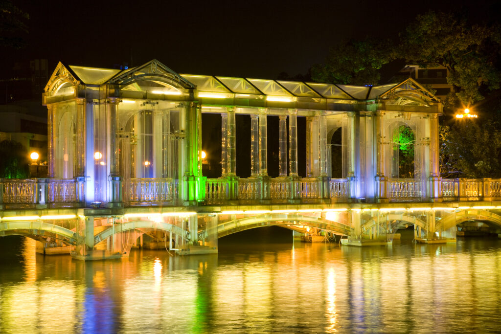
China, Guangxi Zhuang Autonomous Region, Guilin City. A glass bridge crossing over to a small island from the lakeside near downtown Guilin.
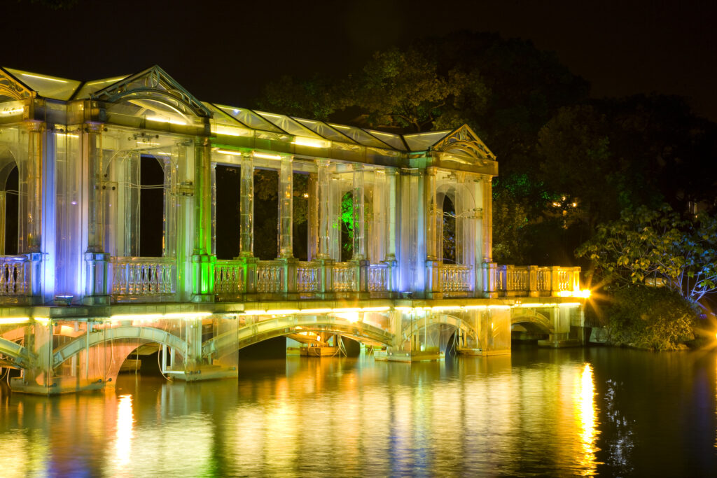
China, Guangxi Zhuang Autonomous Region, Guilin City. A glass bridge crossing over to a small island from the lakeside near downtown Guilin.
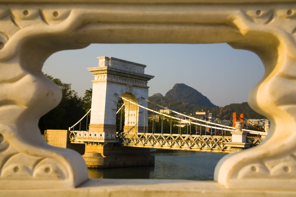
China, Guangxi Zhuang Autonomous Region, Guilin City. Bridge, waterfront and limestone Karst viewed from near downtown Guilin city.
Favourites
Photofeed
