
Your search for “county” returned 445 images.
Clear Search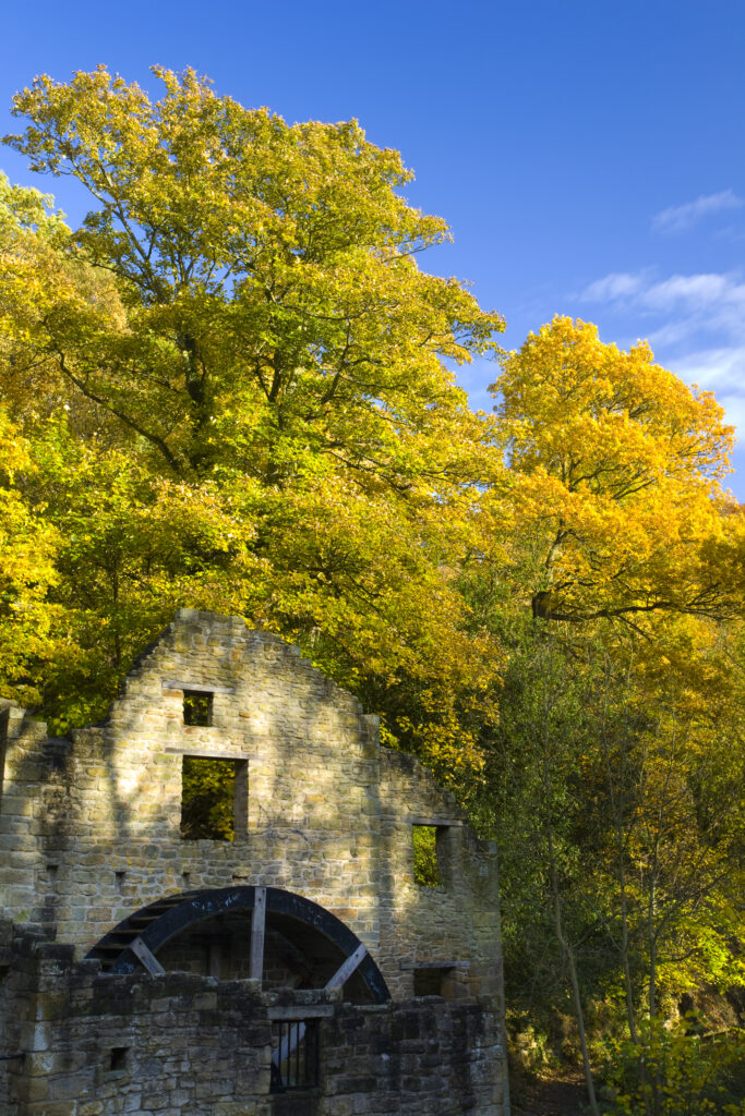
England, Tyne & Wear, Jesmond Dene. Named Heaton Mill in 1848 although originally a water corn mill called Mabel's Mill since 1739, this structure is now simply known as 'The Mill'.
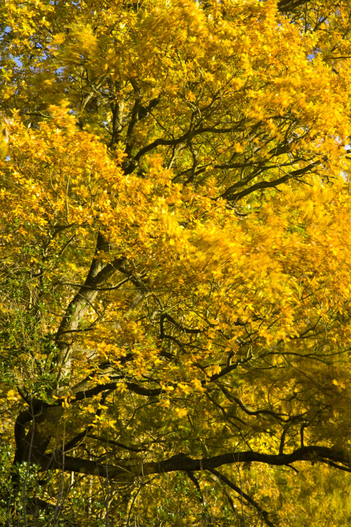
England, Tyne & Wear, Newcastle Upon Tyne. The autumn colours of trees in Jesmond Dene.
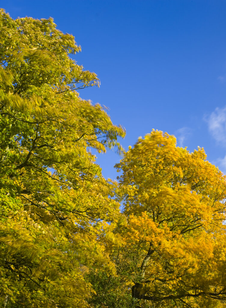
England, Tyne & Wear, Newcastle Upon Tyne. The autumn colours of trees in Jesmond Dene.
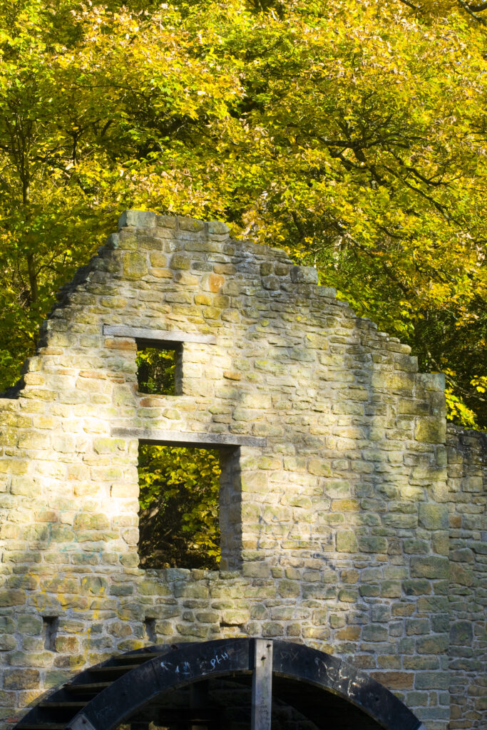
Mabel's Mill, a water corn mill of the Ridleys, existed here by 1739. From circa. 1848 called Heaton Mill. A flint mill from mid to late 19th Century. Acquired by Lord Armstrong in 1862.
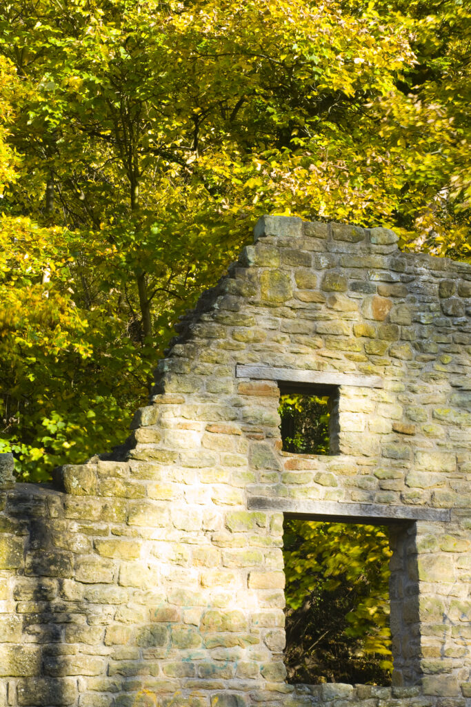
Mabel's Mill, a water corn mill of the Ridleys, existed here by 1739. From circa. 1848 called Heaton Mill. A flint mill from mid to late 19th Century. Acquired by Lord Armstrong in 1862.
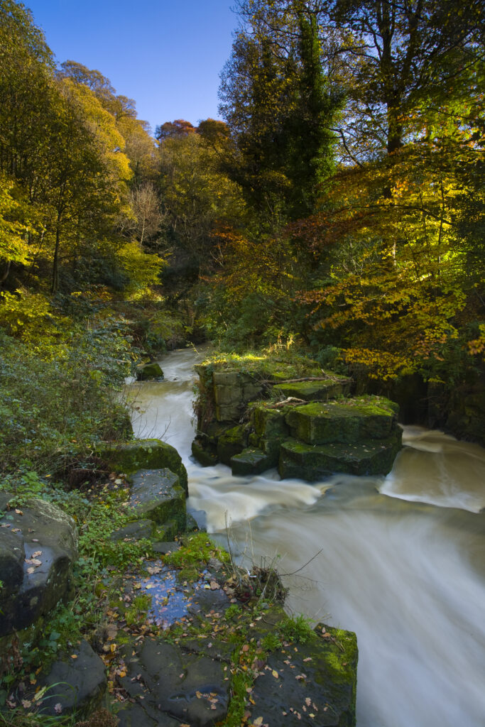
England, Tyne & Wear, Newcastle Upon Tyne. The Ouseburn flowing through autumnal woodland in Jesmond Dene.
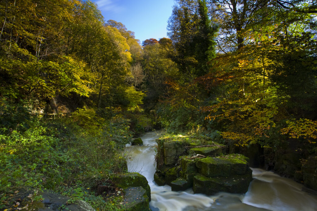
England, Tyne & Wear, Newcastle Upon Tyne. The Ouseburn flowing through autumnal woodland in Jesmond Dene.
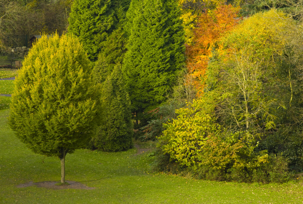
England, Tyne & Wear, Newcastle Upon Tyne. View looking from the Armstrong Bridge towards Jesmond Dene.
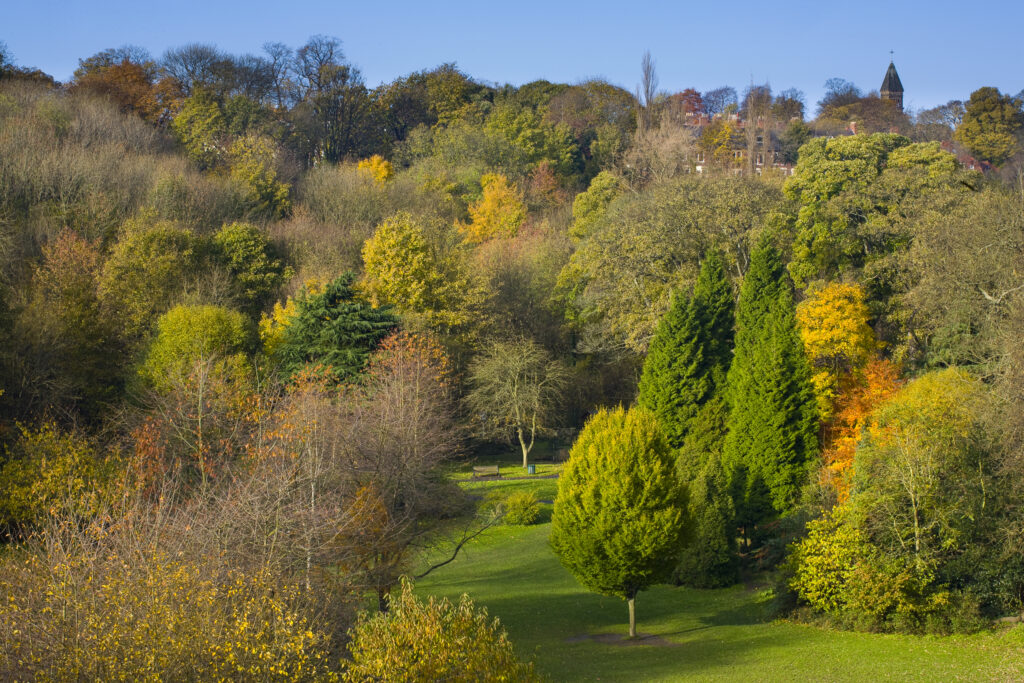
England, Tyne & Wear, Newcastle Upon Tyne. View looking from the Armstrong Bridge towards Jesmond Dene.
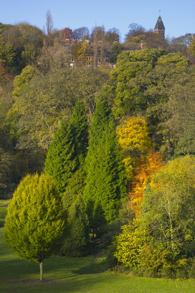
England, Tyne & Wear, Newcastle Upon Tyne. View looking from the Armstrong Bridge towards Jesmond Dene.
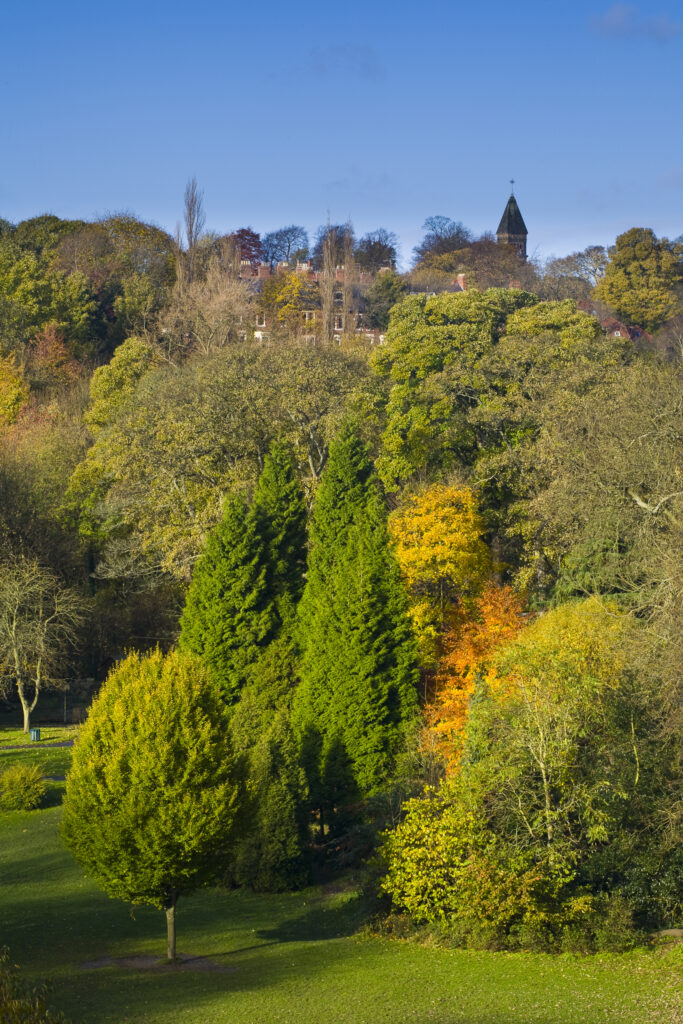
England, Tyne & Wear, Newcastle Upon Tyne. View looking from the Armstrong Bridge towards Jesmond Dene.
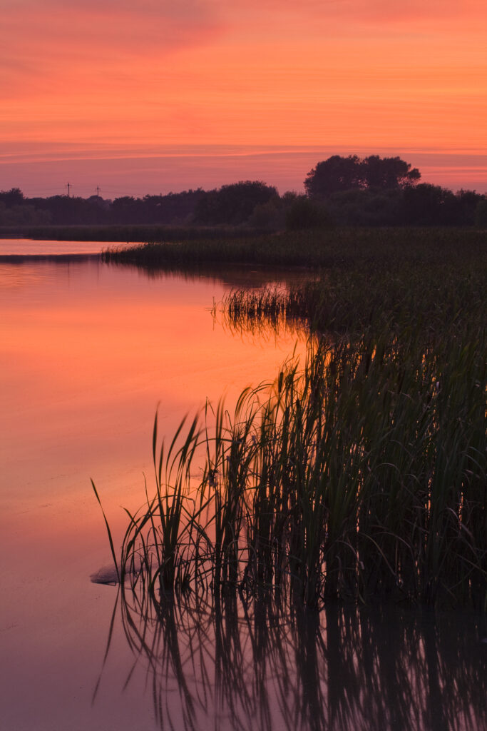
England, Tyne and Wear, Big Waters County Park. Sunset over the lake in Big Waters Country Park The lake is a a subsidence pond, formed by the collapse of old mine workings.
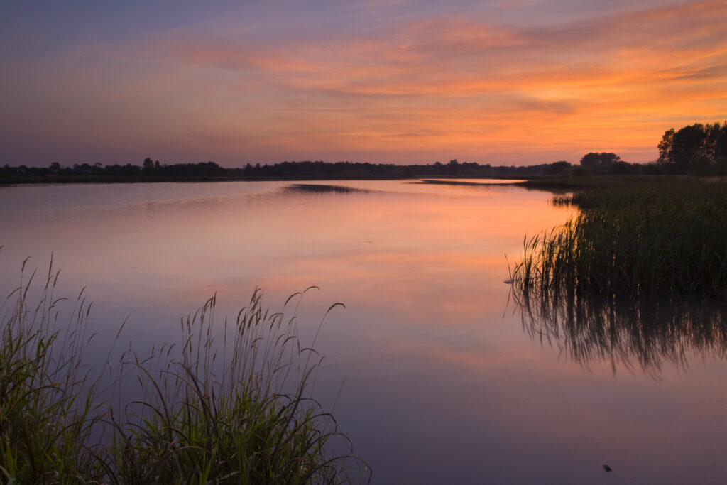
England, Tyne and Wear, Big Waters County Park. Sunset over the lake in Big Waters Country Park The lake is a a subsidence pond, formed by the collapse of old mine workings.
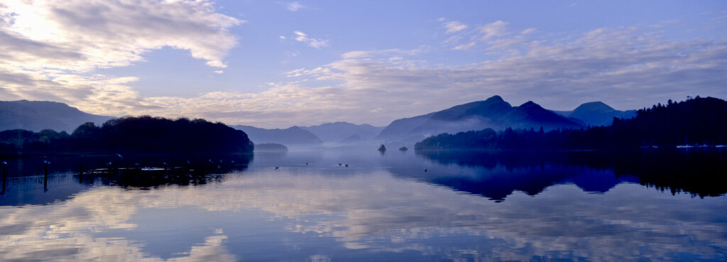
ENGLAND, Cumbria, Lake District National Park. Mountain backdrop reflected in the still waters of Derwentwater at dawn.
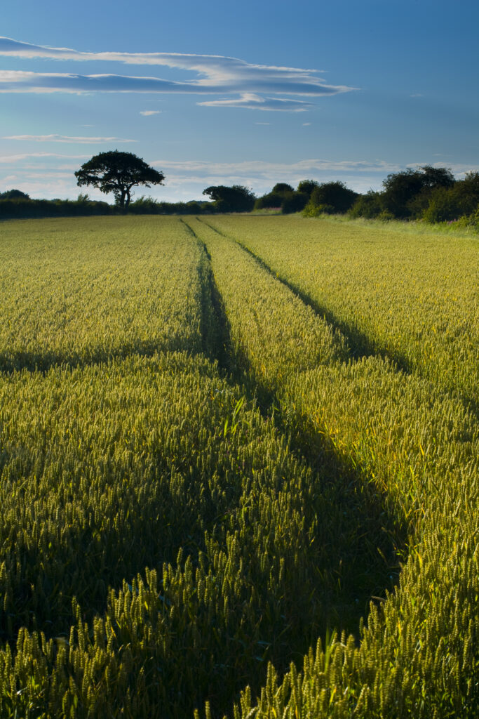
ENGLAND, Tyne & Wear, Holywell Dene. Farm track running through a field used for agriculture in North Tyneside.
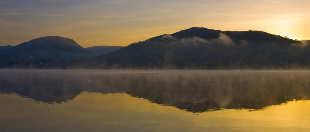
England, Cumbria, Lake District National Park. Dawn at Low Wray, looking across the still waters of Windermere, the largest lake to be found in England.
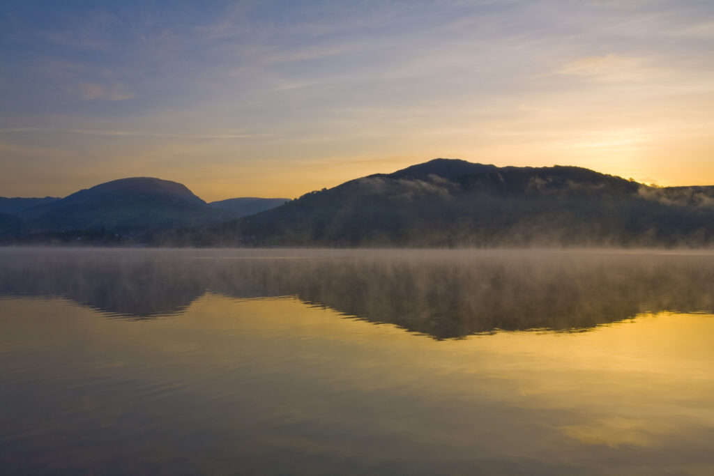
England, Cumbria, Lake District National Park. Dawn at Low Wray, looking across the still waters of Windermere, the largest lake to be found in England.
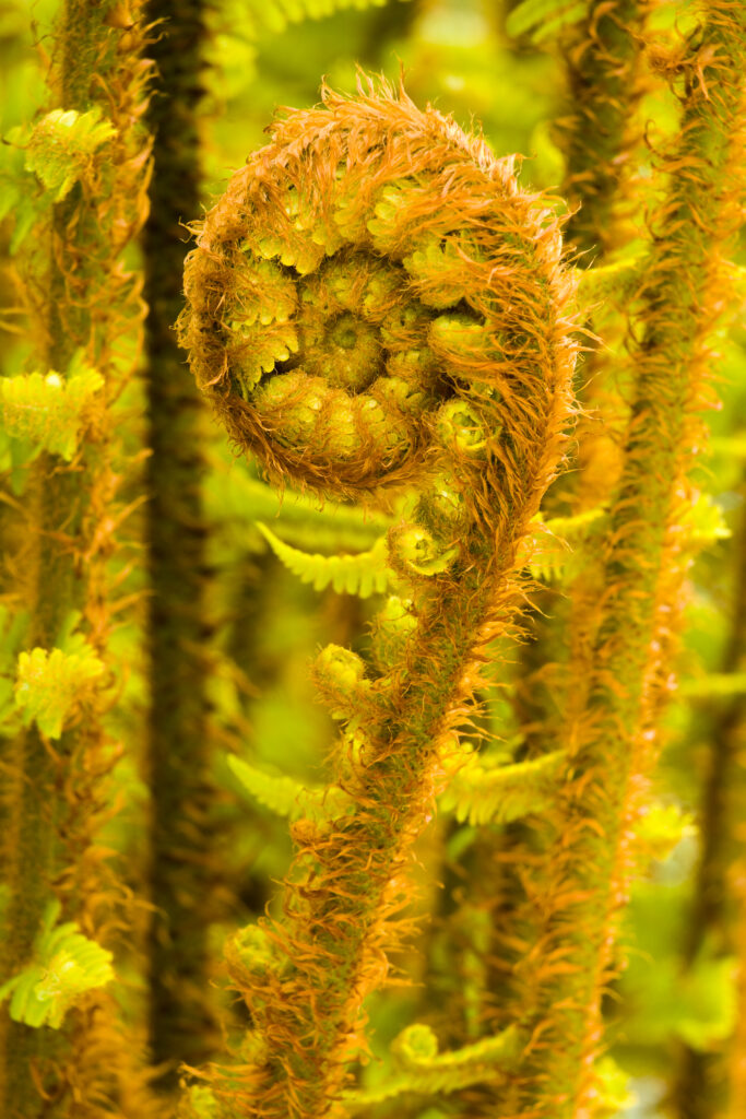
England, Cumbria, Lake District National Park. Developing Fern Leaf in Grizedale Forest.

England, Cumbria, Lake District National Park. Developing Fern Leaf in Grizedale Forest.
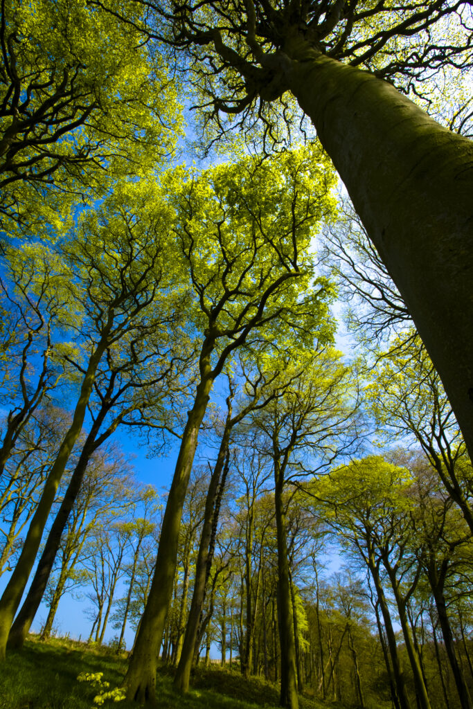
ENGLAND, Tyne & Wear, Holywell Dene. Woodland canopy in Holywell Dene, a popular pocket of forest near the Northumberland / Tyneside border.
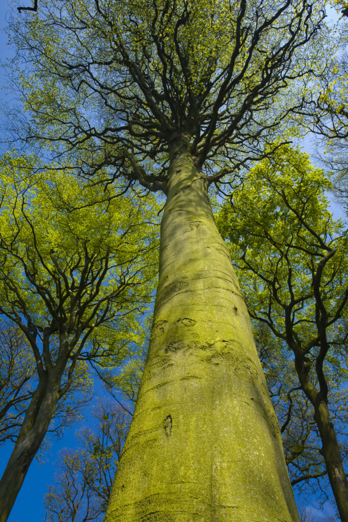
ENGLAND, Tyne & Wear, Holywell Dene. Woodland canopy in Holywell Dene, a popular pocket of forest near the Northumberland / Tyneside border.
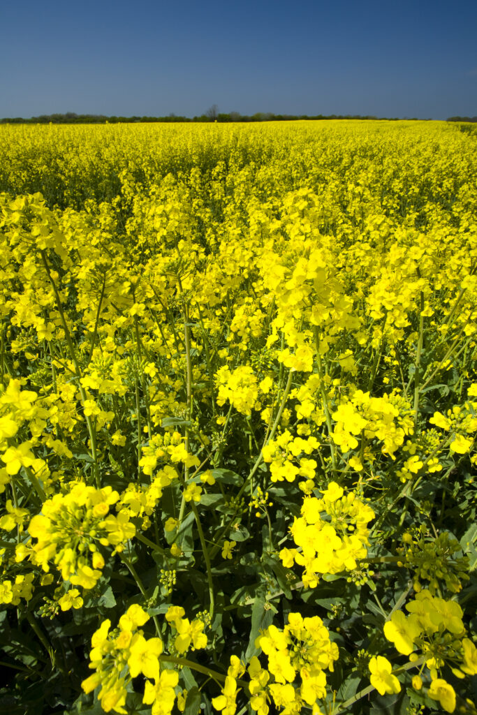
ENGLAND, Tyne & Wear, Holywell Dene. Fields of Rape growing in North Tyneside is a common sight due to the popularity of the Rapeseed oil which is extracted from the crop.
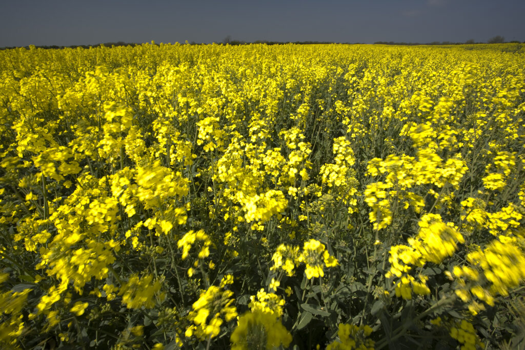
ENGLAND, Tyne & Wear, Holywell Dene. Fields of Rape growing in North Tyneside is a common sight due to the popularity of the Rapeseed oil which is extracted from the crop.
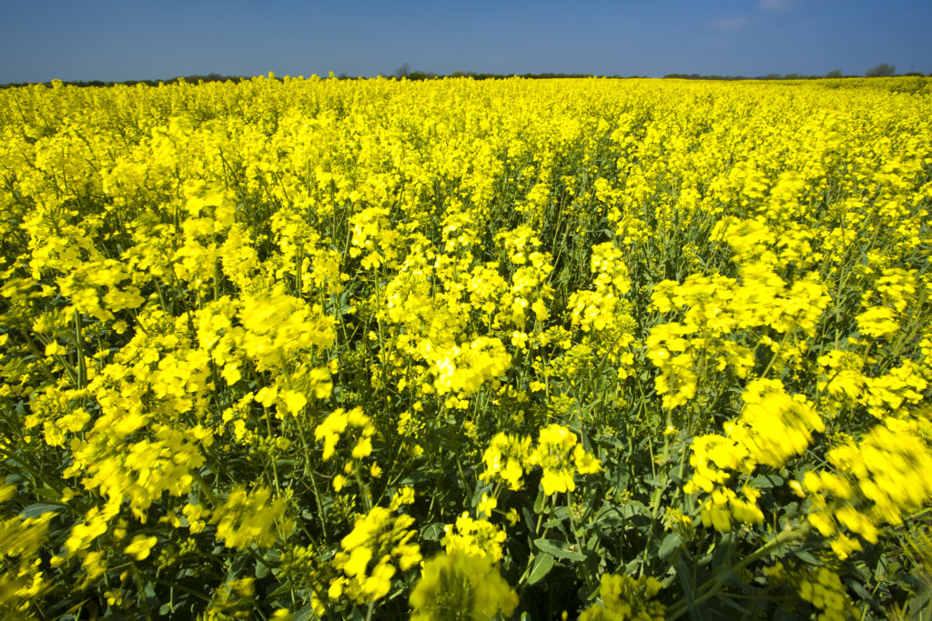
ENGLAND, Tyne & Wear, Holywell Dene. Fields of Rape growing in North Tyneside is a common sight due to the popularity of the Rapeseed oil which is extracted from the crop.
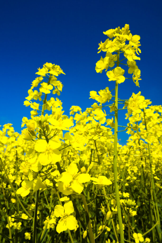
ENGLAND, Tyne & Wear, Holywell Dene. Fields of Rape growing in North Tyneside is a common sight due to the popularity of the Rapeseed oil which is extracted from the crop.
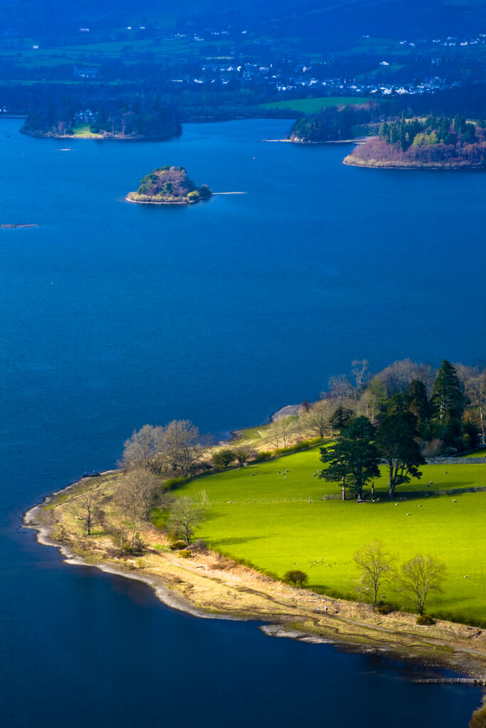
England, Cumbria, Lake District National Park. Derwentwater, with Derwent Island and Keswick in the distance, viewed from Surprise View On Gowder Crag.
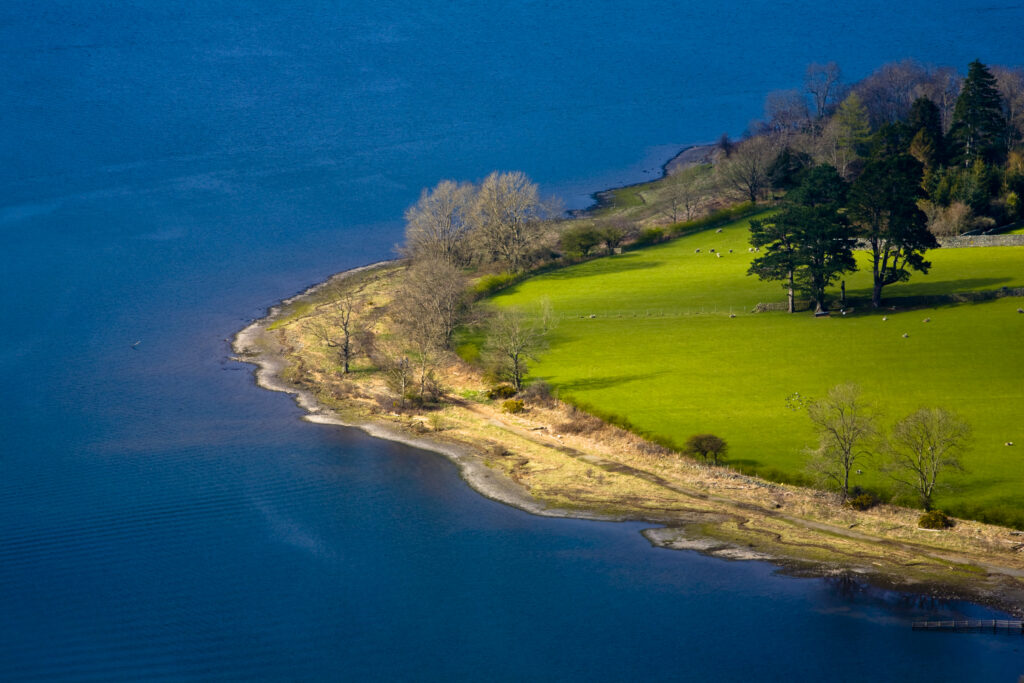
England, Cumbria, Lake District National Park. Derwentwater and shoreline, viewed from Surprise View On Gowder Crag.
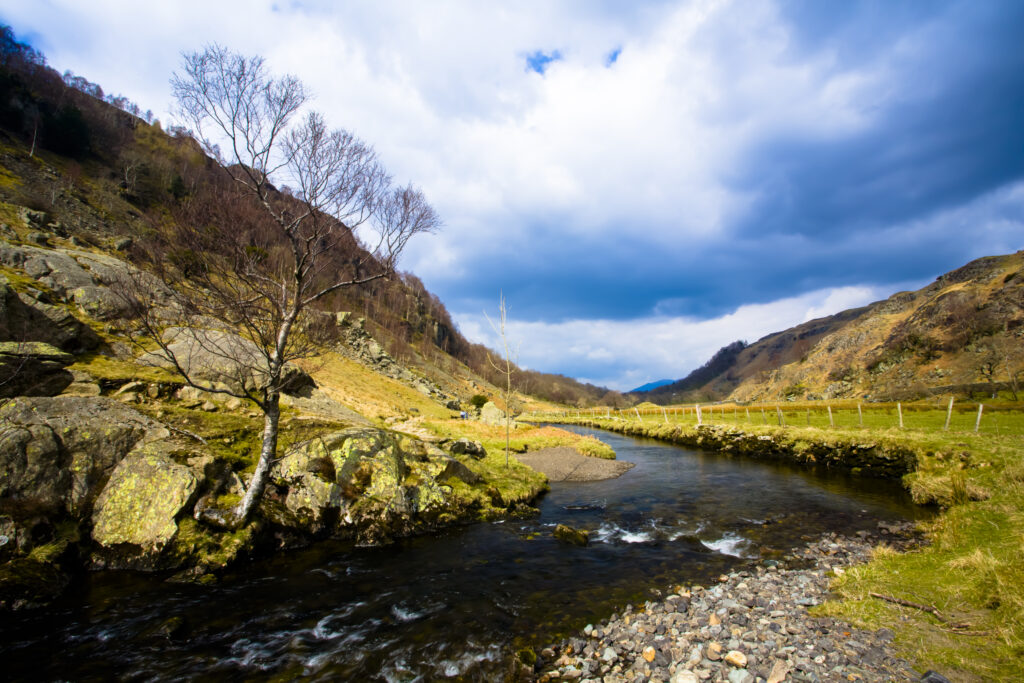
England, Cumbria, Lake District National Park. Watendlath Beck running through the Watendlath Valley.
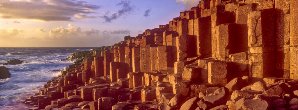
NORTHERN IRELAND, County Antrim, Giants Causeway. Waves crash against the hexagonal basalts rock formations of this world heritage site.

China, Guangxi Zhuang Autonomous Region, Yangshuo County. Young chinese child being carried in an hand woven basket along a rural road running through an agriculture landscape dominated by the Karst peaks of Yangshuo County.

China, Guangxi Zhuang Autonomous Region, Yangshuo County. Two rural farm workers carry fruit and their children in hand woven baskets along a rural road running through an agriculture landscape dominated by the Karst peaks of Yangshuo County.
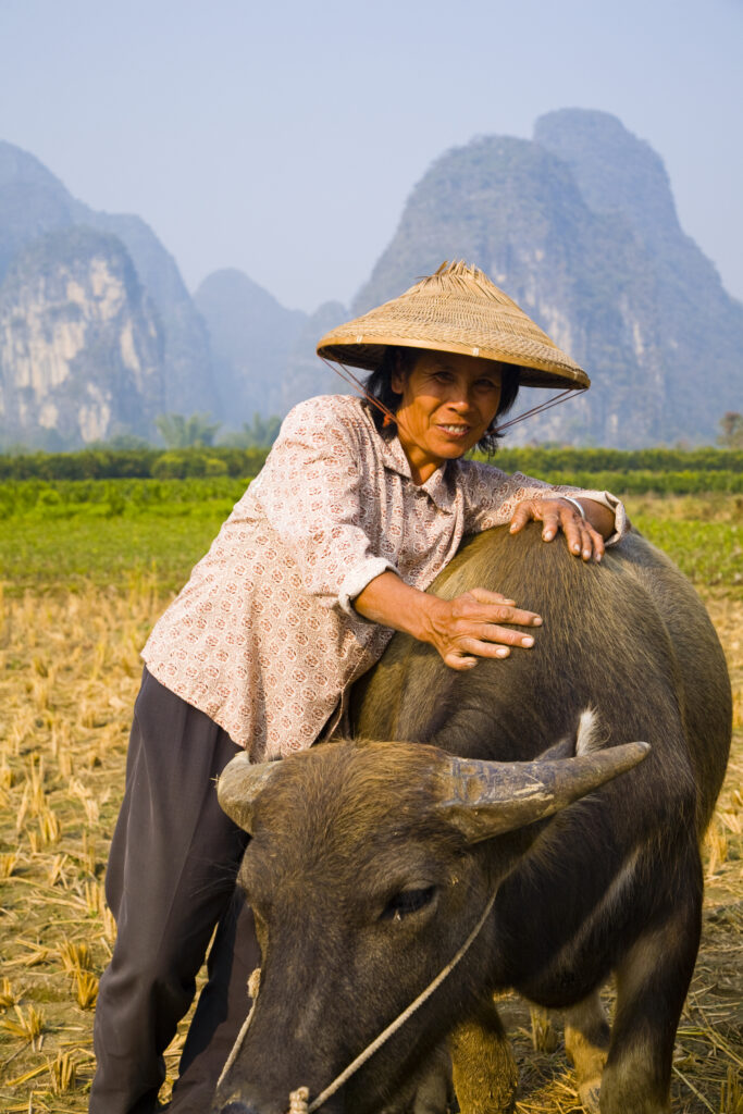
China, Guangxi Zhuang Autonomous Region, Yangshuo County. A chinese farmworker wearing a typical chinese hat, admires her domestic Buffalo which is grazing in an agriculture landscape dominated by the Karst peaks of Yangshuo County.
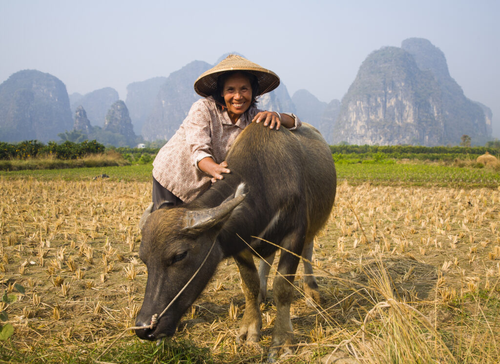
China, Guangxi Zhuang Autonomous Region, Yangshuo County. A chinese farmworker wearing a typical chinese hat, admires her domestic Buffalo which is grazing in an agriculture landscape dominated by the Karst peaks of Yangshuo County.
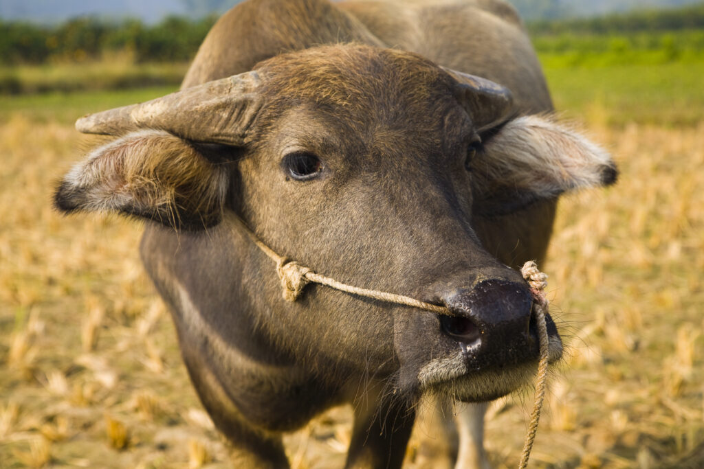
China, Guangxi Zhuang Autonomous Region, Yangshuo County. Domestic Buffalo grazing in an agriculture landscape which is dominated by the Karst peaks of Yangshuo County.
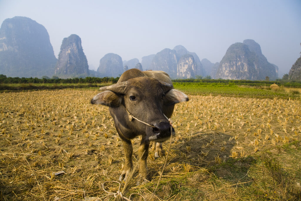
China, Guangxi Zhuang Autonomous Region, Yangshuo County. Domestic Buffalo grazing in an agriculture landscape which is dominated by the Karst peaks of Yangshuo County.
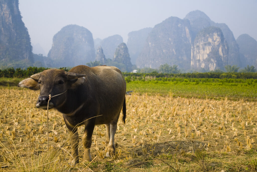
China, Guangxi Zhuang Autonomous Region, Yangshuo County. Domestic Buffalo grazing in an agriculture landscape which is dominated by the Karst peaks of Yangshuo County.
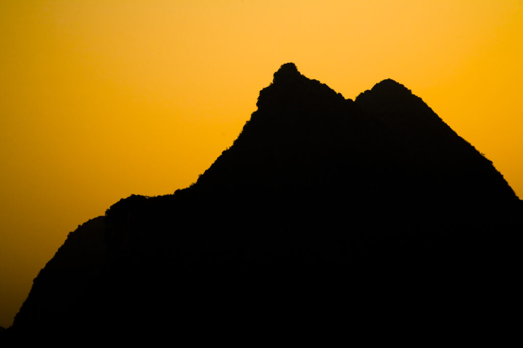
China, Guangxi Zhuang Autonomous Region, Yangshuo County. Sunset behind a karst peak near the town of Yangshuo.
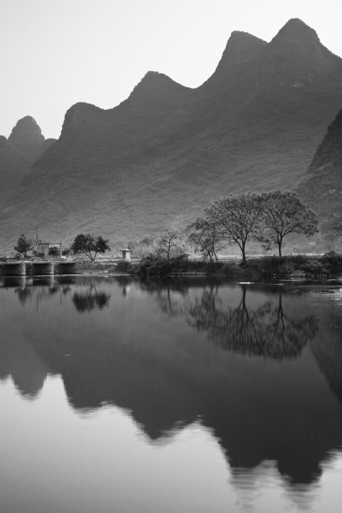
China, Guangxi Zhuang Autonomous Region, Yangshuo County. The Li River and karst peaks near the town of Yangshuo.
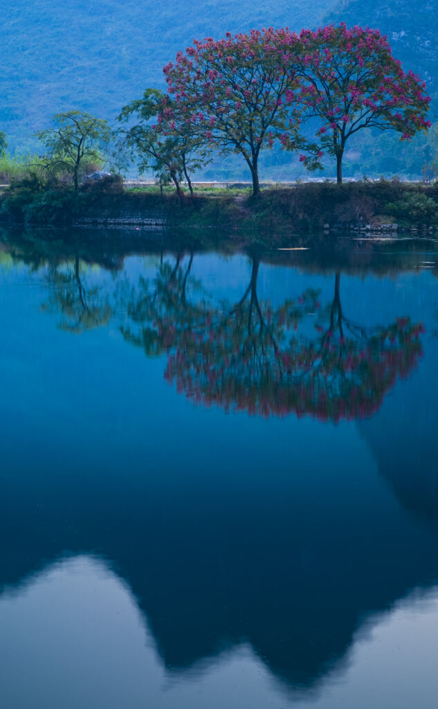
China, Guangxi Zhuang Autonomous Region, Yangshuo County. The Li River and karst peaks near the town of Yangshuo.
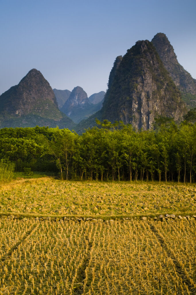
China, Guangxi Zhuang Autonomous Region, Yangshuo County. Agriculture landscape dominated by the Karst peaks of Yangshuo County near the town of Yangshuo.
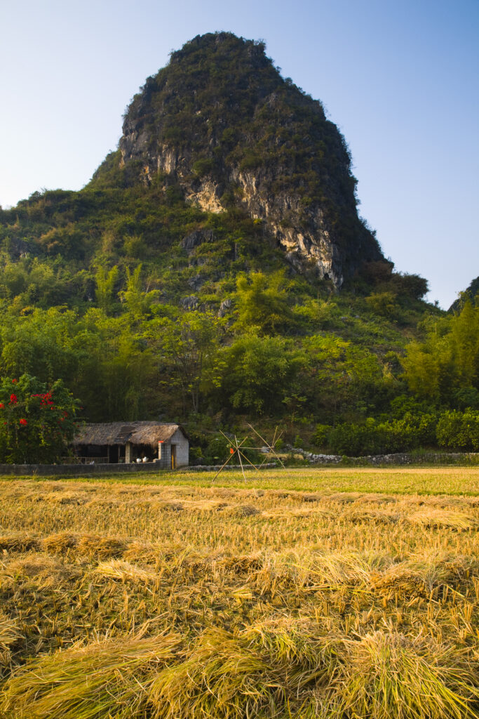
China, Guangxi Zhuang Autonomous Region, Yangshuo County. Agriculture landscape dominated by the Karst peaks of Yangshuo County near the town of Yangshuo.
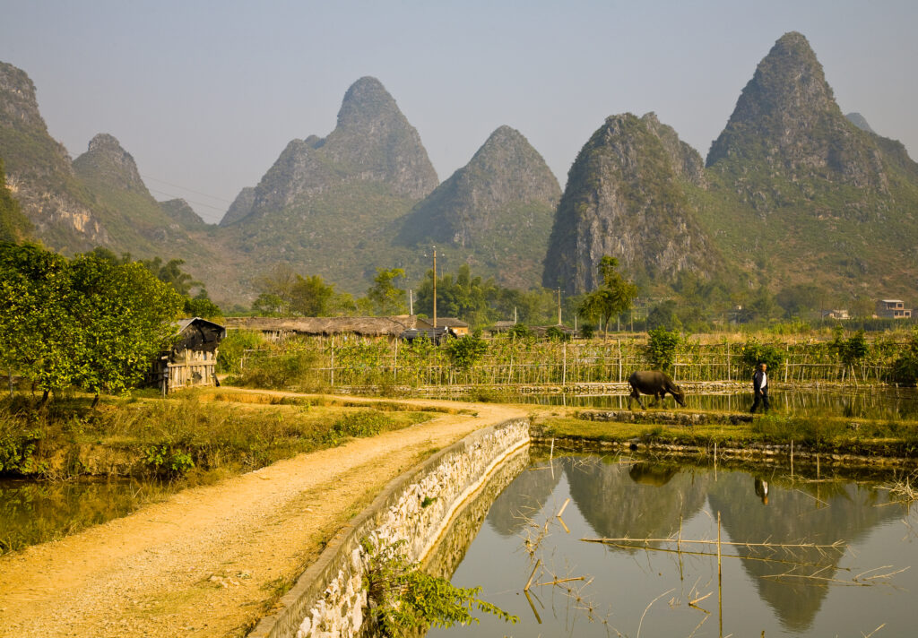
China, Guangxi Zhuang Autonomous Region, Yangshuo County. Agriculture landscape dominated by the Karst peaks of Yangshuo County near the town of Yangshuo.
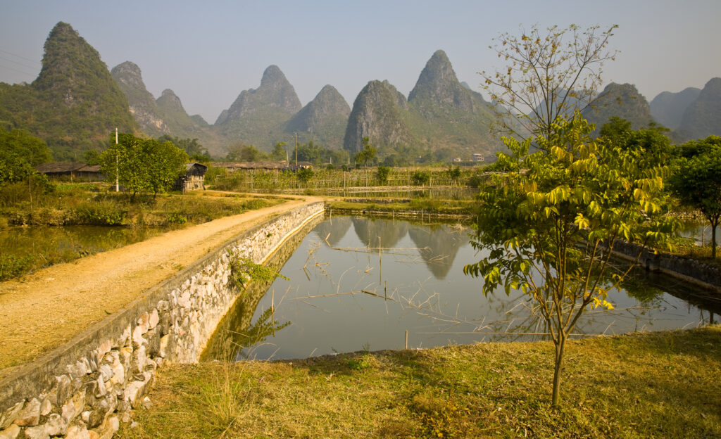
China, Guangxi Zhuang Autonomous Region, Yangshuo County. Agriculture landscape dominated by the Karst peaks of Yangshuo County near the town of Yangshuo.
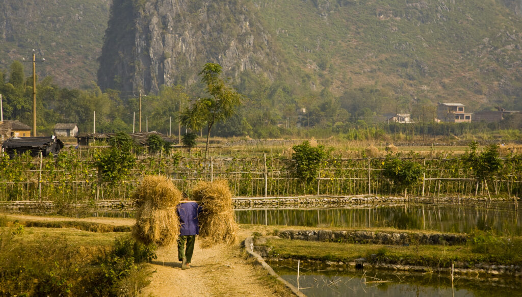
China, Guangxi Zhuang Autonomous Region, Yangshuo County. Farm worker carries two stacks of hay on a stick across his shoulders, along a path through farmland dominated by Karst peaks.
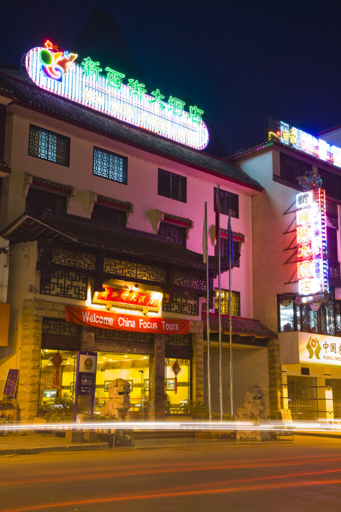
China, Guangxi Zhuang Autonomous Region, Yangshuo City. Busy traffic running through a chinese city at night with a backdop of limestone karst hills.
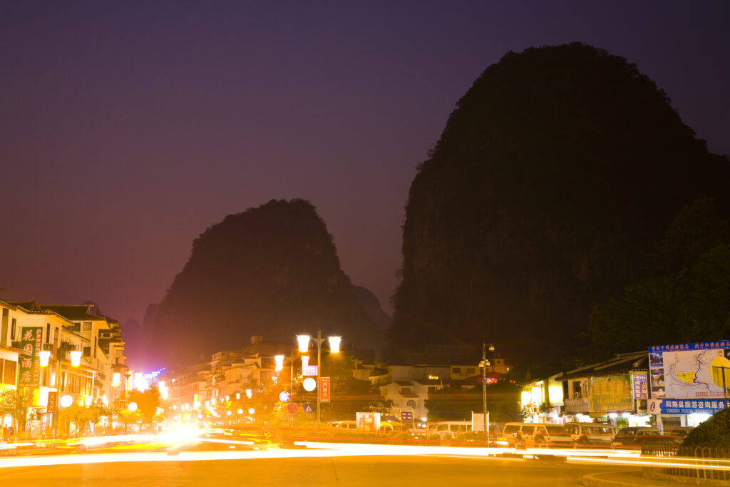
China, Guangxi Zhuang Autonomous Region, Yangshuo City. Busy traffic running through a chinese city at night with a backdop of limestone karst hills.
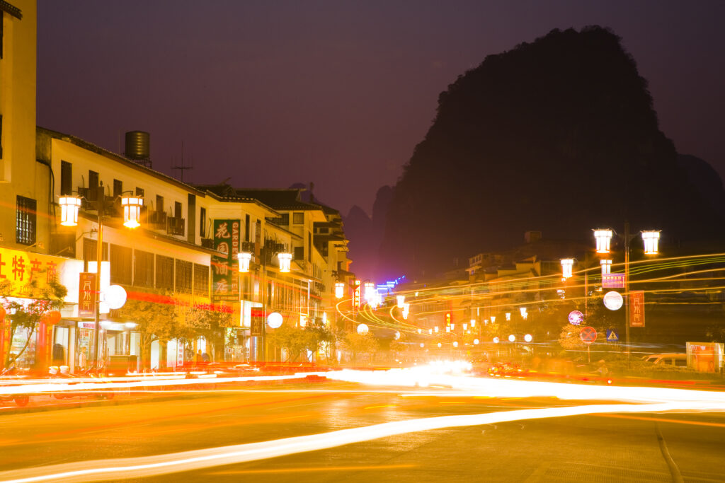
China, Guangxi Zhuang Autonomous Region, Yangshuo City. Busy traffic running through a chinese city at night with a backdop of limestone karst hills.
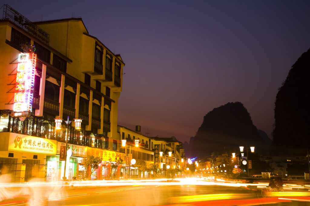
China, Guangxi Zhuang Autonomous Region, Yangshuo City. Busy traffic running through a chinese city at night with a backdop of limestone karst hills.
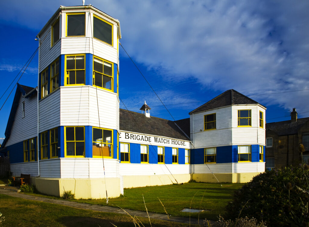
England, Tyne and Wear, Tynemouth Volunteer Life Brigade Watch House. The historic building of the Tynemouth Volunteer Life Brigade Watch House, now a popular museum near the Tyneside Coast.
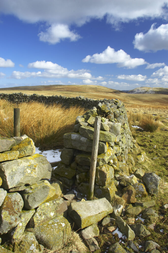
England, Northumberland, Northumberland National Park. A winter scene with a cattle shelter at the foothills of the Cheviots and the Breamish valley near the village of Ingram situated within the Northumberland National Park in the northen england county of Northumberland about 8km east of the border with Scotland.
Favourites
Photofeed
