
Your search for “tramp” returned 359 images.
Clear Search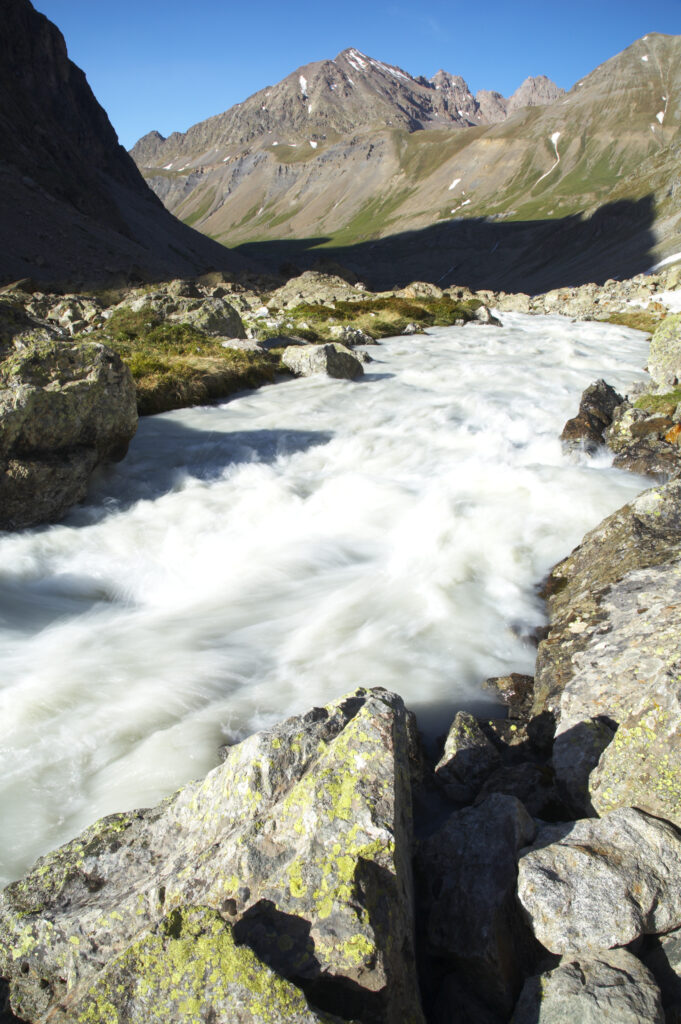
France, Rhône-Alpes, The Ecrins National Park. The fast rapids of the la Romanche river running near the Plan De Valfourone in the Ecrins National Park.
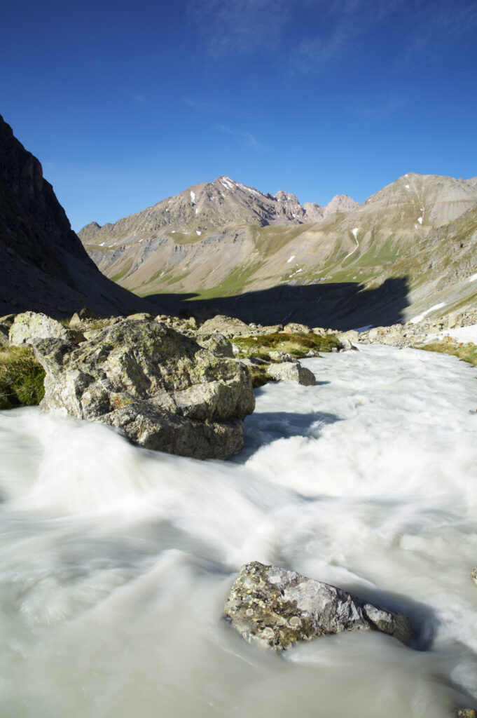
France, Rhône-Alpes, The Ecrins National Park. The fast rapids of the la Romanche river running near the Plan De Valfourone in the Ecrins National Park.
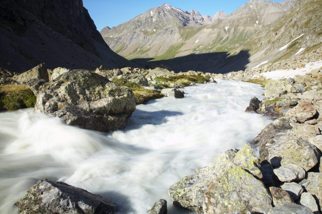
France, Rhône-Alpes, The Ecrins National Park. The fast rapids of the la Romanche river running near the Plan De Valfourone in the Ecrins National Park.
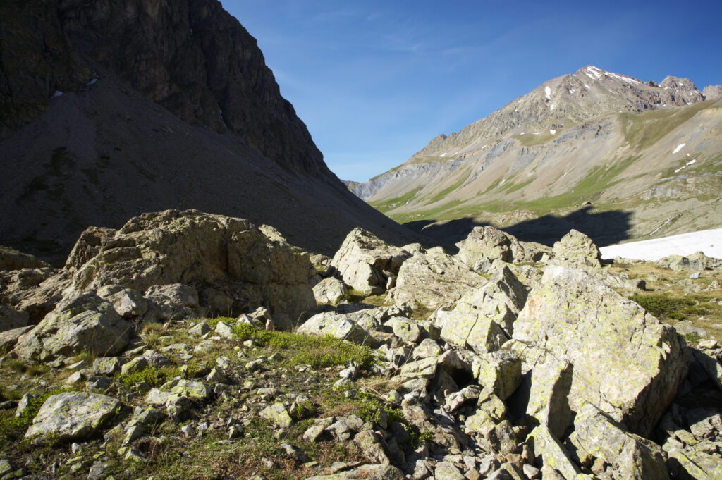
France, Rhône-Alpes, The Ecrins National Park. Rocks deposited by glacial river and rockslides near the Plan De Valfourone
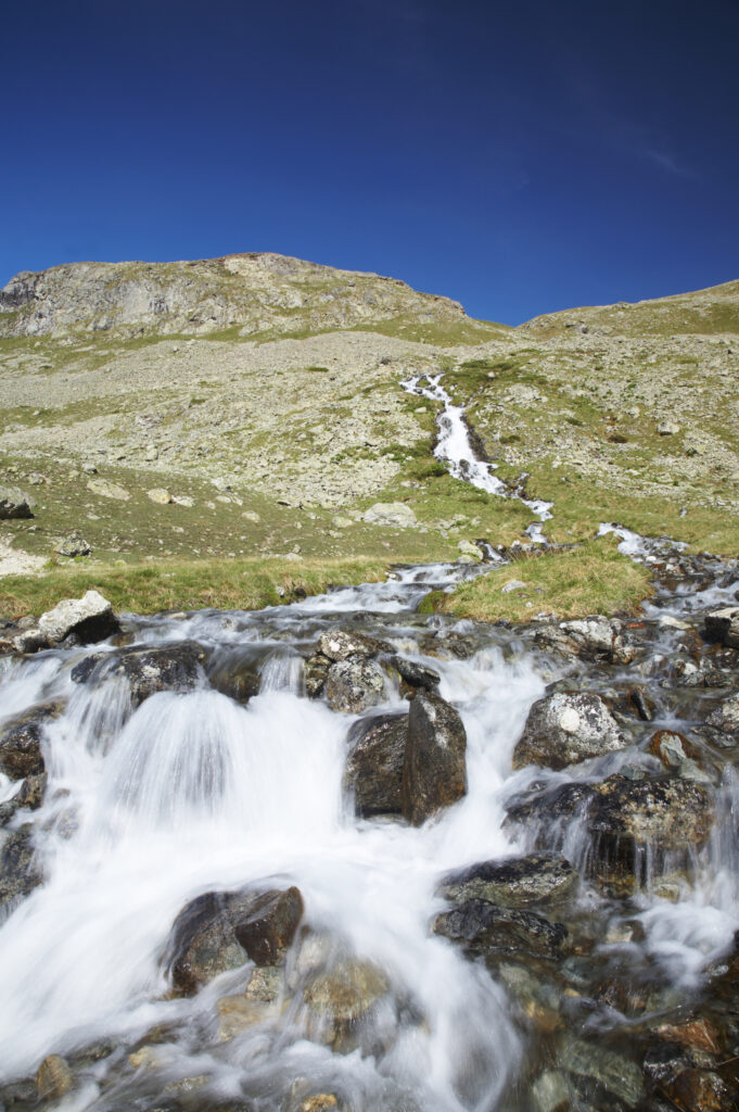
France, Rhône-Alpes, The Ecrins National Park. Mountain stream running near the La Plan de l'Alpe in the Ecrins National Park.
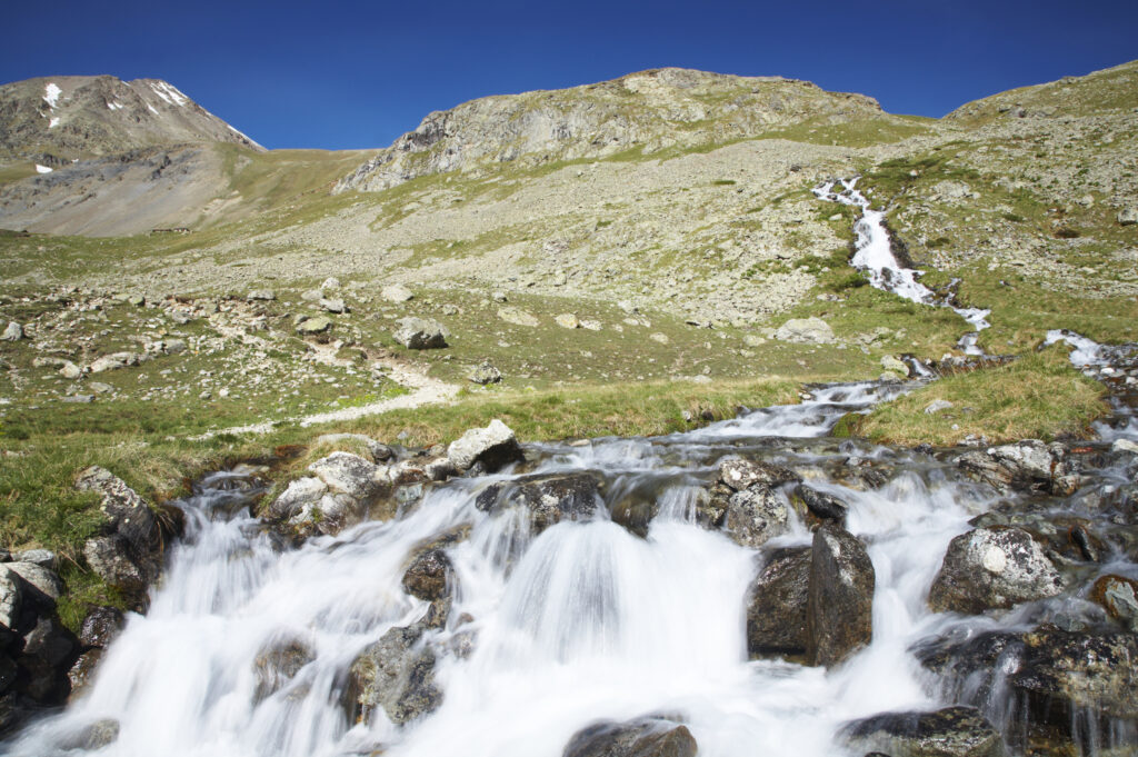
France, Rhône-Alpes, The Ecrins National Park. Mountain stream running near the La Plan de l'Alpe in the Ecrins National Park.
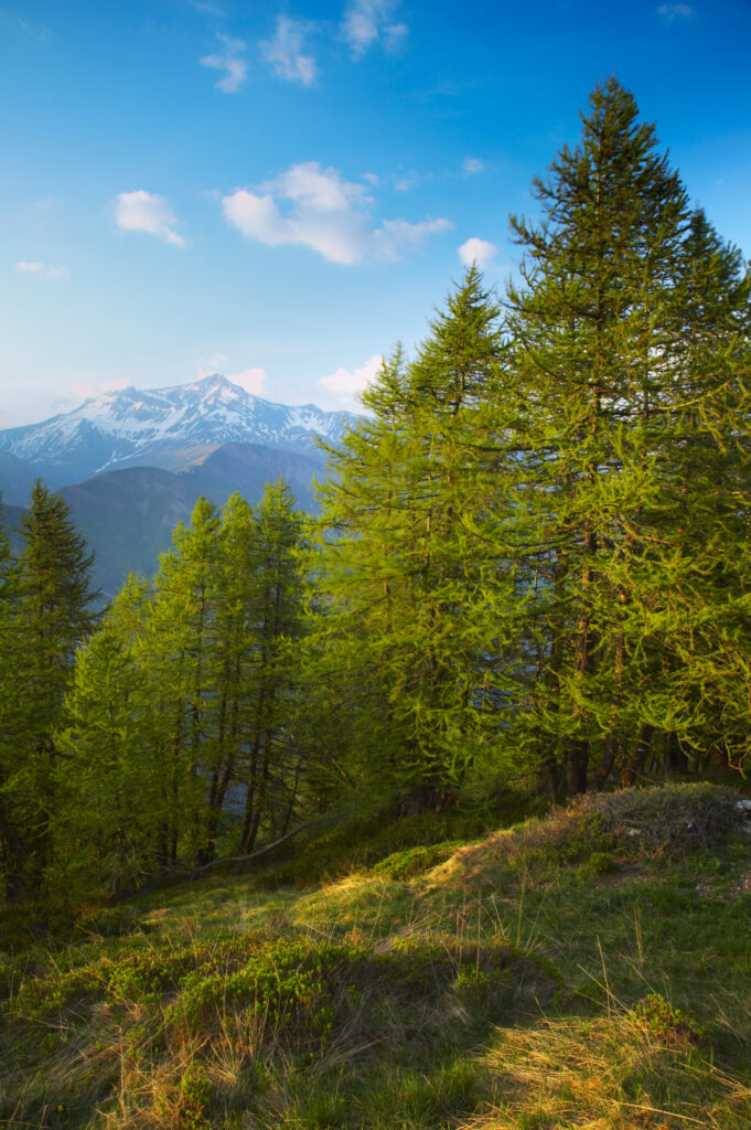
France, Rhône-Alpes, The Ecrins National Park. Fir trees growing in an alpine environment near to the village of La Grave
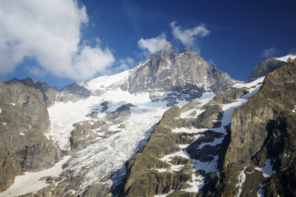
France, Rhône-Alpes, The Ecrins National Park. Evening light bathes the majestic peak of La Meije and surrounding glaciers.
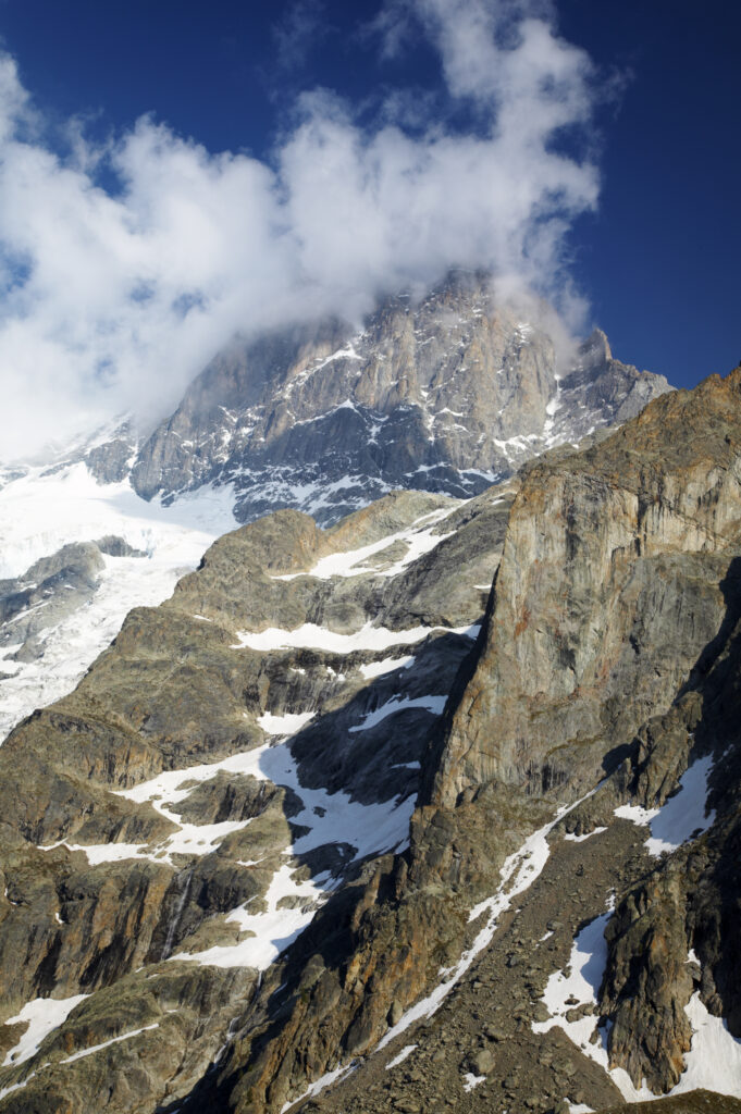
France, Rhône-Alpes, The Ecrins National Park. Evening light bathes the majestic peak of La Meije and surrounding glaciers.
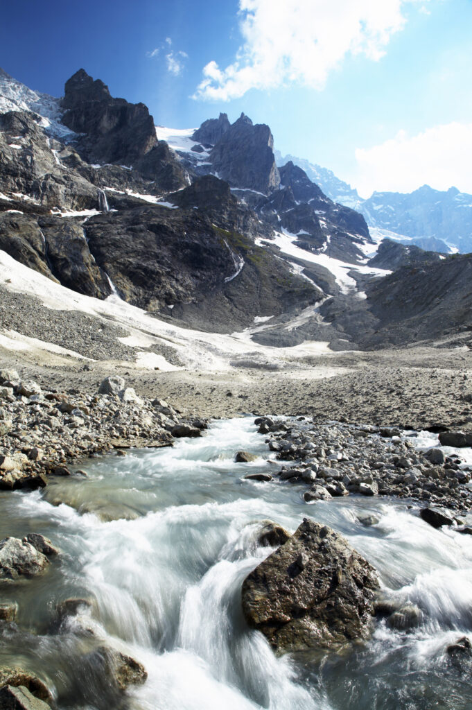
France, Rhône-Alpes, The Ecrins National Park. Mountain stream (Torrent de l'Abergue) running through a wild mountain landscape located near the village of La Grave and the Chal Vachere
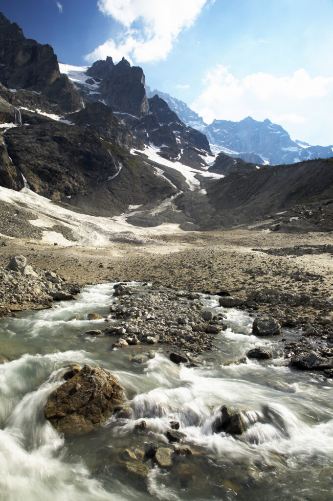
France, Rhône-Alpes, The Ecrins National Park. Mountain stream (Torrent de l'Abergue) running through a wild mountain landscape located near the village of La Grave and the Chal Vachere
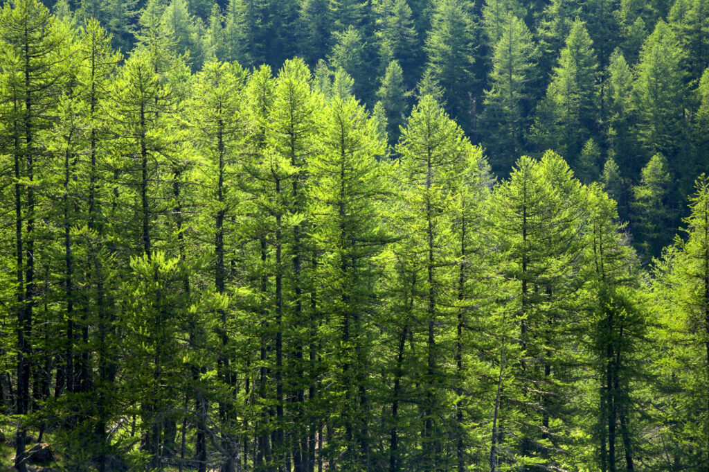
France, Rhône-Alpes, The Ecrins National Park. Fir trees growing in an alpine environment near to the village of La Grave
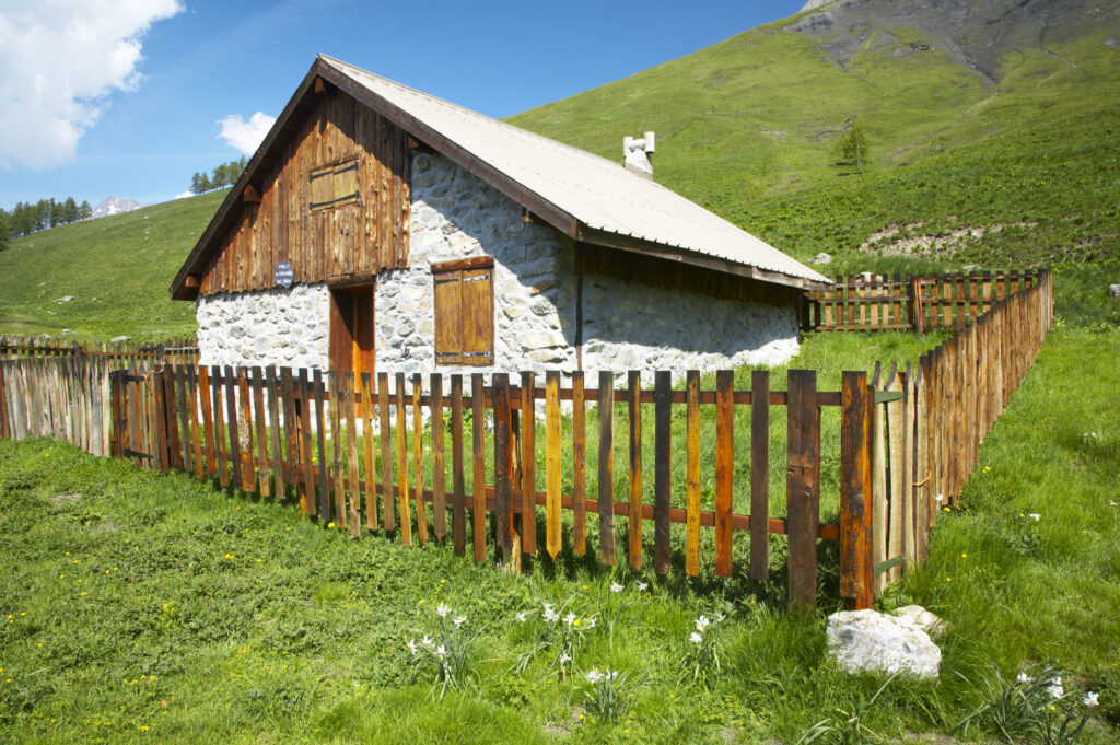
France, Rhône-Alpes, The Ecrins National Park. Wood cabin Chal Vachere loacted on a meadow near the dominating peak of the La Meije
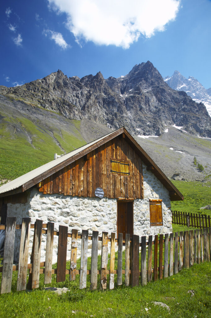
France, Rhône-Alpes, The Ecrins National Park. Wood cabin Chal Vachere loacted on a meadow near the dominating peak of the La Meije
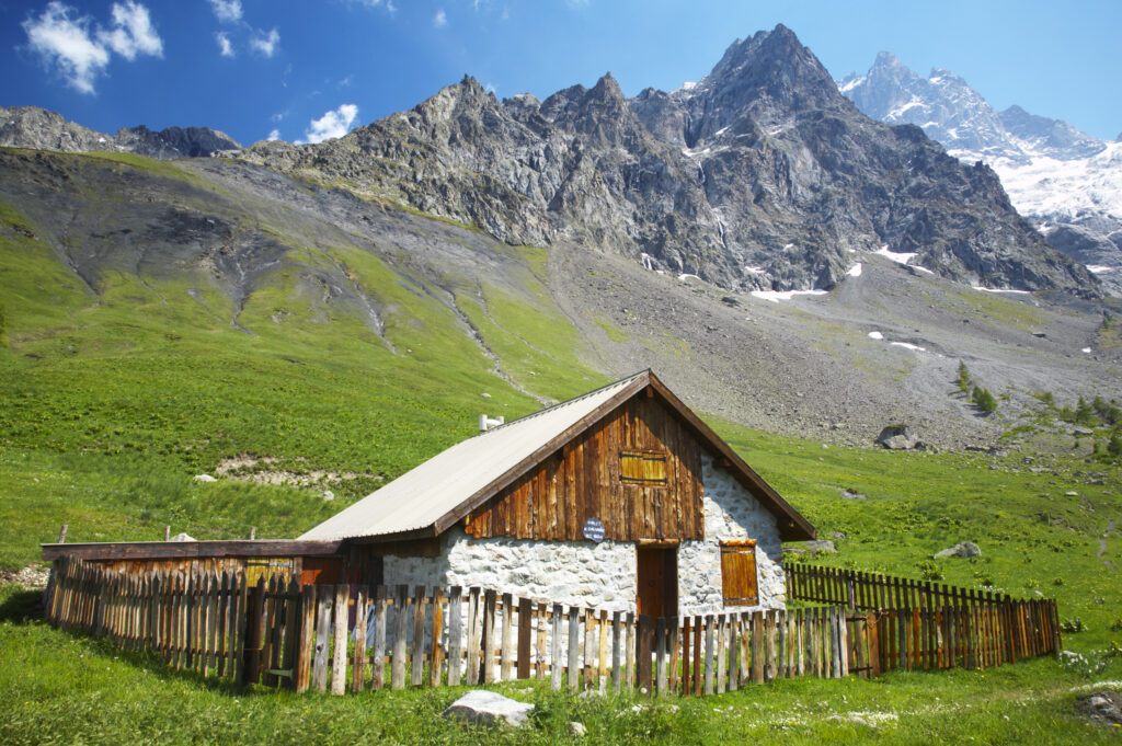
France, Rhône-Alpes, The Ecrins National Park. Wood cabin Chal Vachere loacted on a meadow near the dominating peak of the La Meije
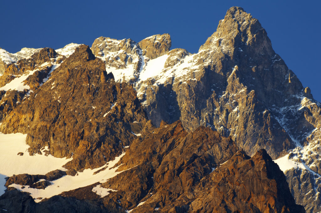
France, Rhône-Alpes, The Ecrins National Park. Morning light illuminates the peak of La Meije, within the Ecrins National Park near the village of La Grave.
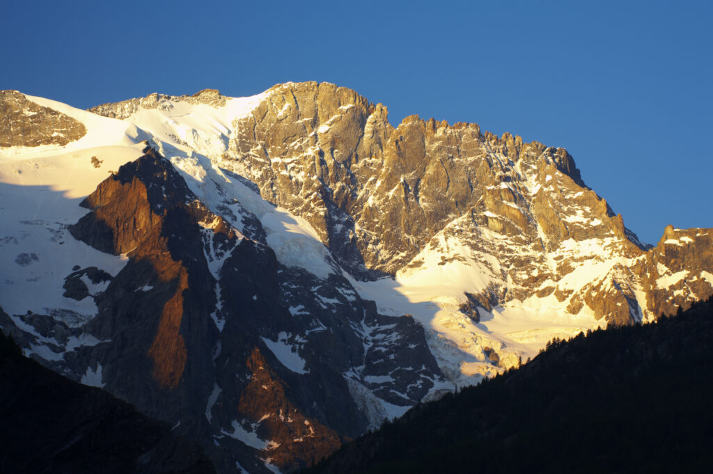
France, Rhône-Alpes, The Ecrins National Park. Morning light illuminates the peak of Le Rateau, within the Ecrins National Park near the village of La Grave.
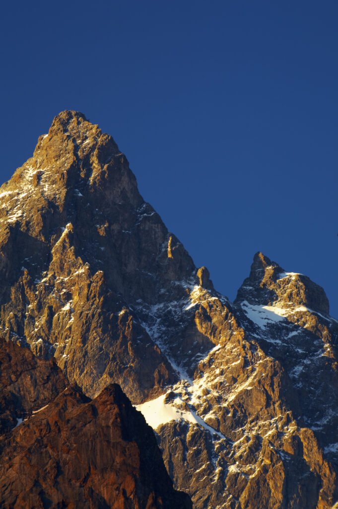
France, Rhône-Alpes, The Ecrins National Park. Morning light illuminates the peak of La Meije, within the Ecrins National Park near the village of La Grave.
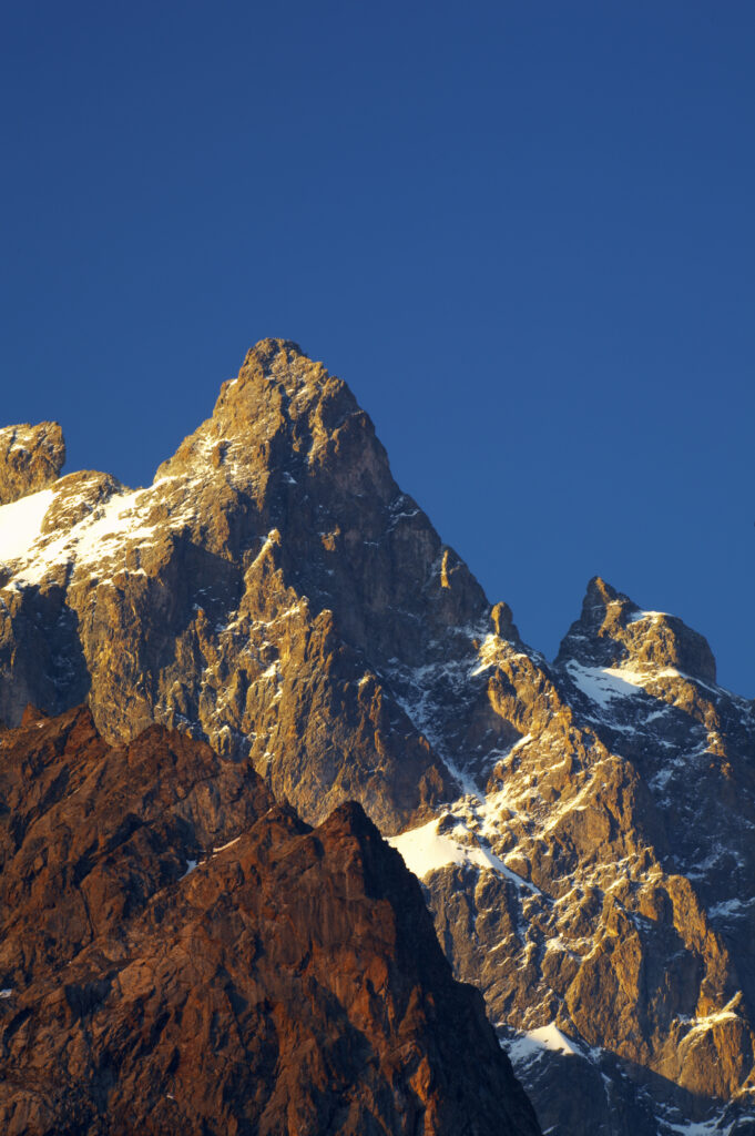
France, Rhône-Alpes, The Ecrins National Park. Morning light illuminates the peak of La Meije, within the Ecrins National Park near the village of La Grave.
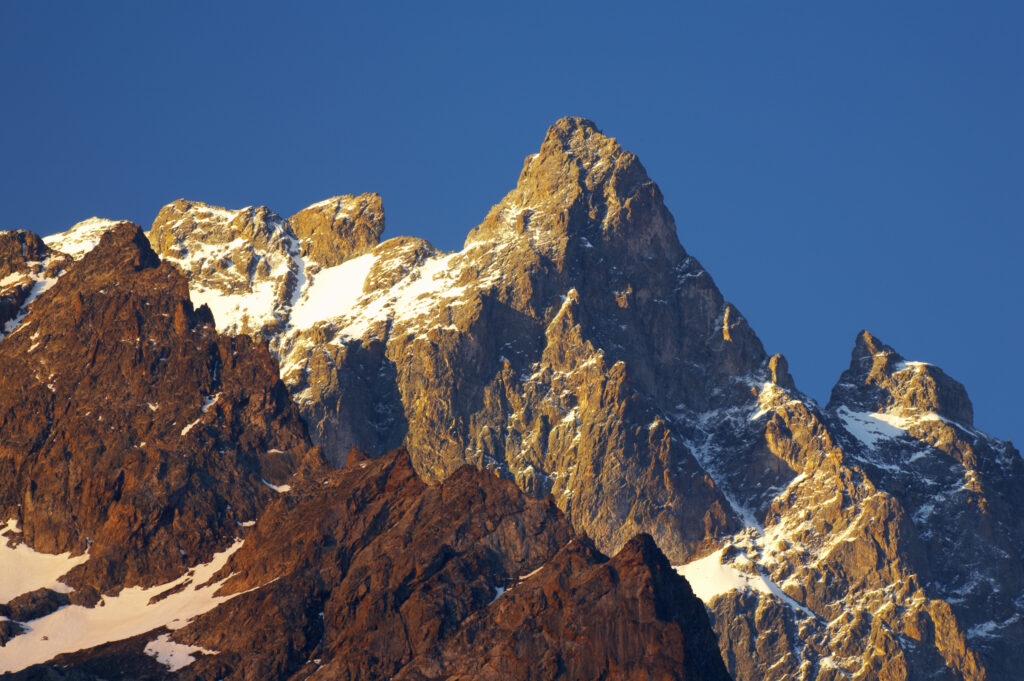
France, Rhône-Alpes, The Ecrins National Park. Morning light illuminates the peak of La Meije, within the Ecrins National Park near the village of La Grave.
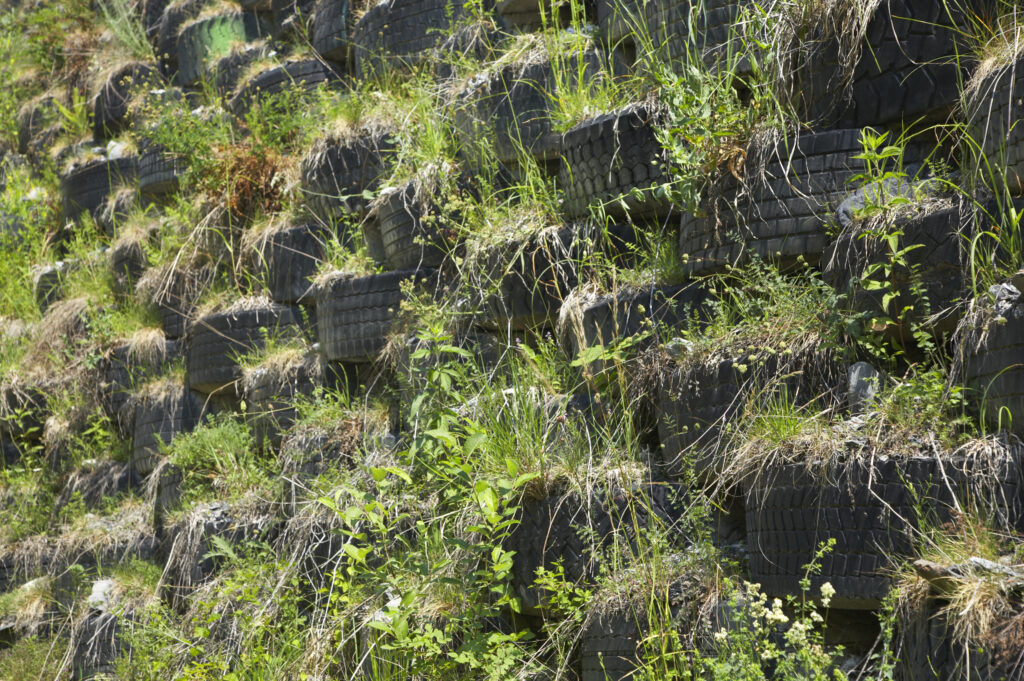
France, Rhône-Alpes, Le Bourg d Oisans. Worn car, lorry and tractor tyres are recycled to provide flood protection on the river bed near the Bourg d Oisans
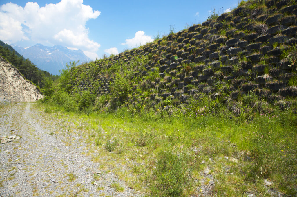
France, Rhône-Alpes, Le Bourg d Oisans. Worn car, lorry and tractor tyres are recycled to provide flood protection on the river bed near the Bourg d Oisans
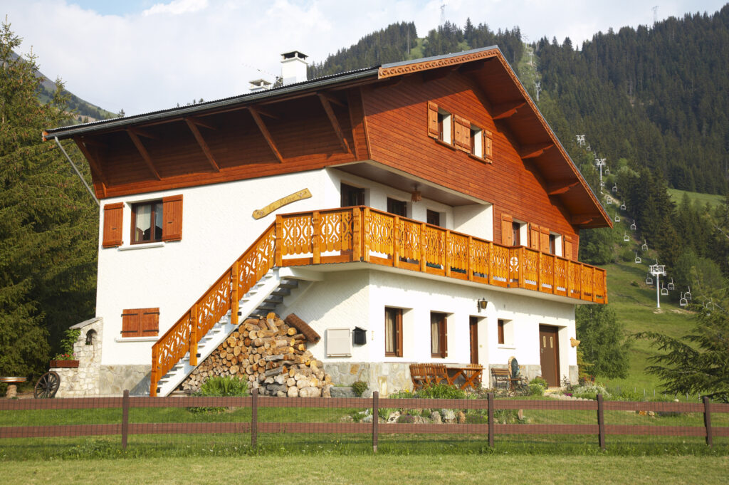
France, Rhône-Alpes, Huez. Wood lodge / restuarant located in the Alps near the Le Bourg d Oisans
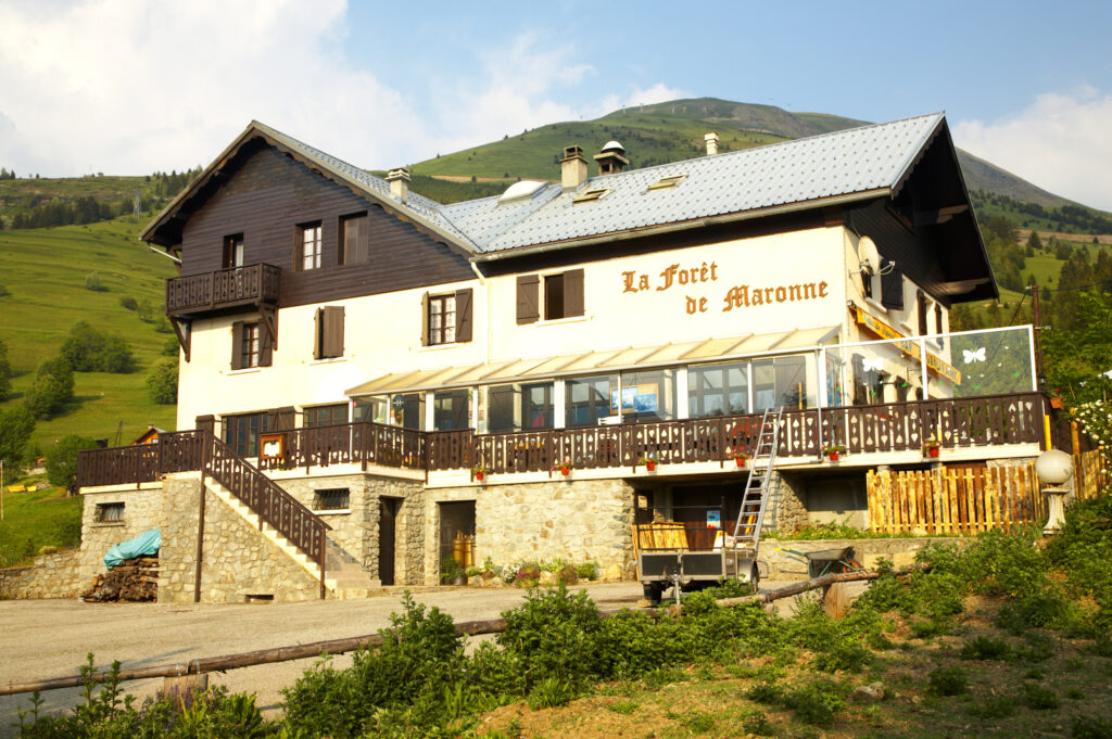
France, Rhône-Alpes, Huez. Wood lodge / restuarant located in the Alps near the Le Bourg d Oisans

France, Rhône-Alpes, The Ecrins National Park. Mist lingers over the peaks of the Ecrins National Park near Le Bourg d Oisans.
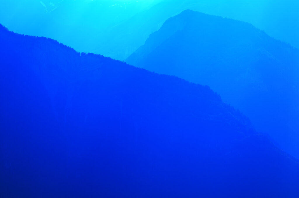
France, Rhône-Alpes, The Ecrins National Park. Mist lingers over the peaks of the Ecrins National Park near Le Bourg d Oisans.
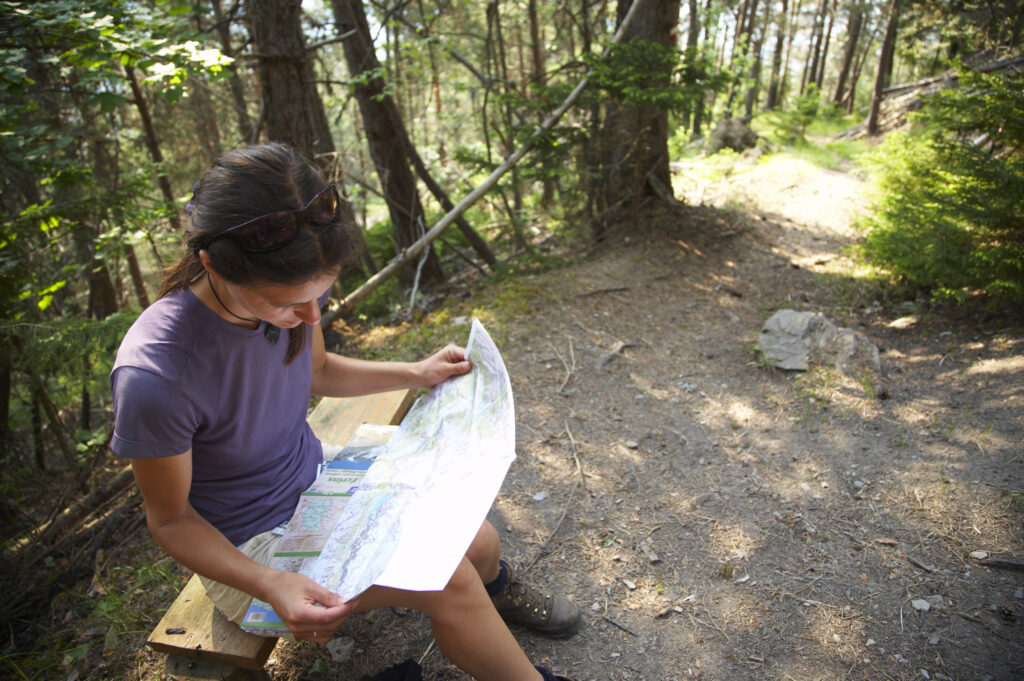
France, Rhône-Alpes, Le Bourg d Oisans. A female hiker reads a map in a forest (Foret de Marronne) near Le Bourg d Oisans.
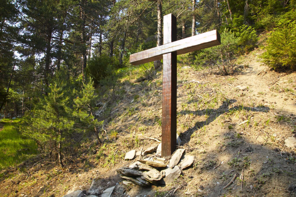
France, Rhône-Alpes, Le Bourg d Oisans. A wooden cross located in a forest (Foret de Marronne) near Le Bourg d Oisans.
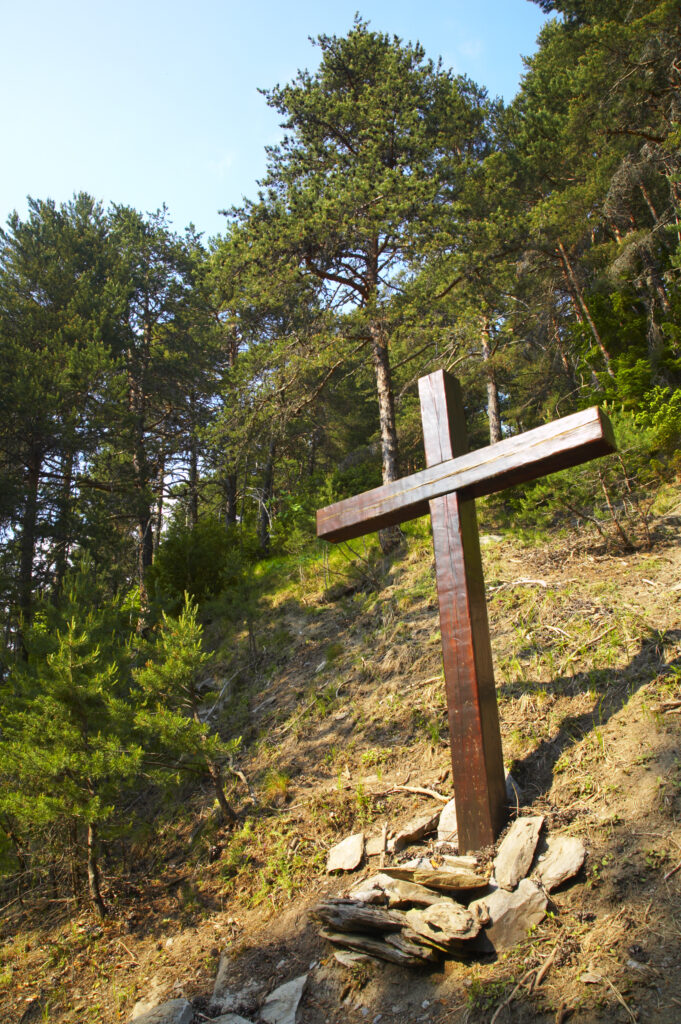
France, Rhône-Alpes, Le Bourg d Oisans. A wooden cross located in a forest (Foret de Marronne) near Le Bourg d Oisans.
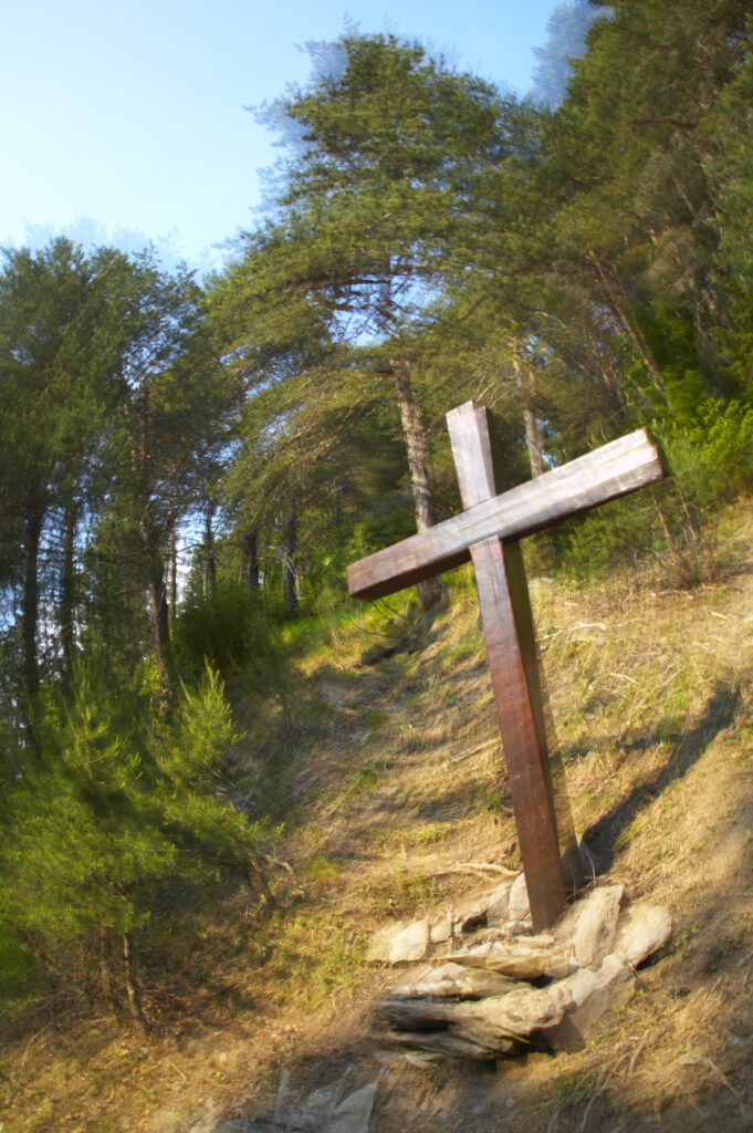
France, Rhône-Alpes, Le Bourg d Oisans. A wooden cross located in a forest (Foret de Marronne) near Le Bourg d Oisans.
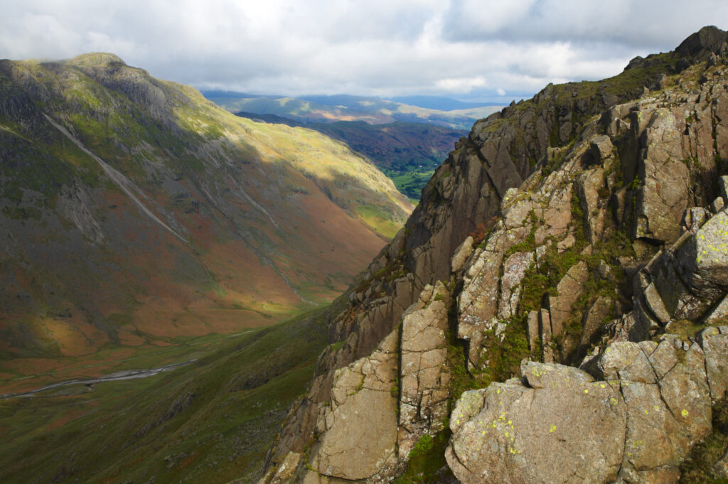
England, Cumbria, Lake District National Park. View looking down the Mickleden into the Great Langdale Valley near Dungeon Ghyll
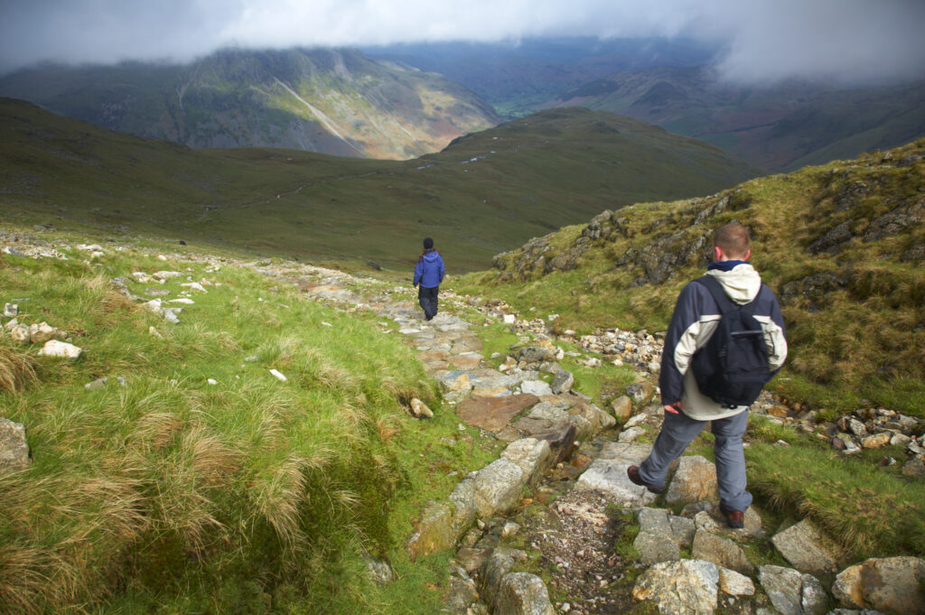
England, Cumbria, Lake District National Park. Hikers descending from tarn towards Dungeon Ghyll in the Great Langdale Valley
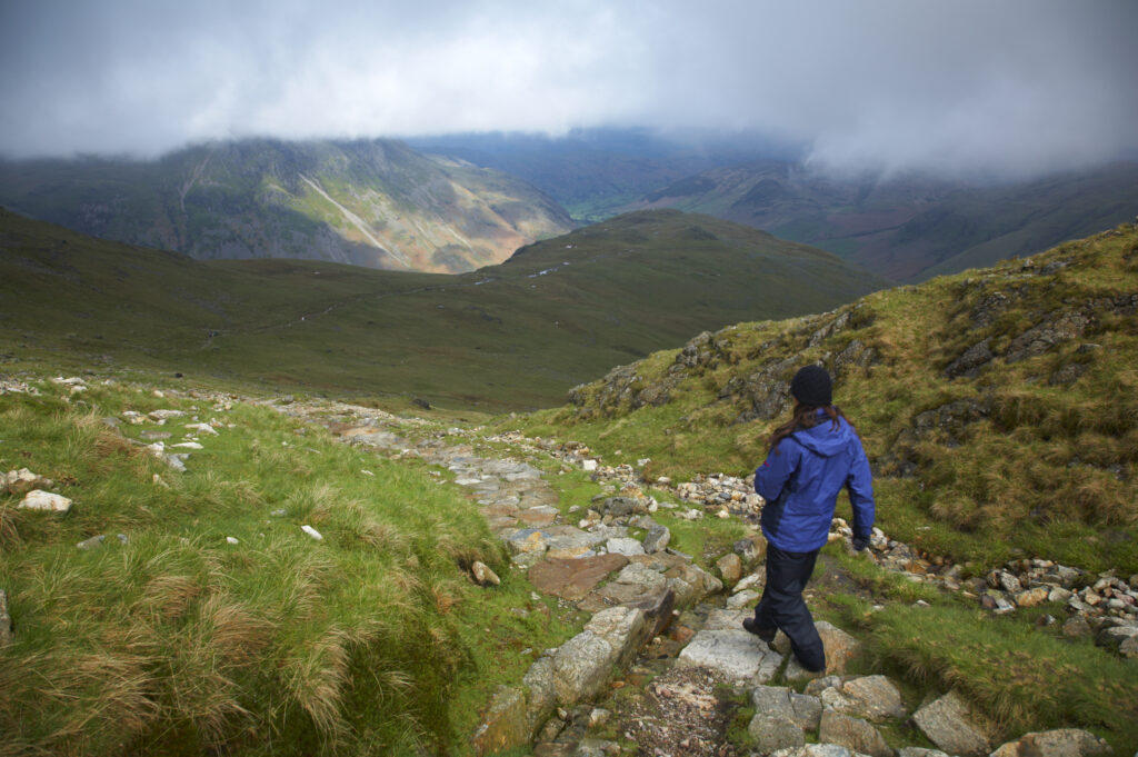
England, Cumbria, Lake District National Park. Hiker descending from tarn towards Dungeon Ghyll in the Great Langdale Valley
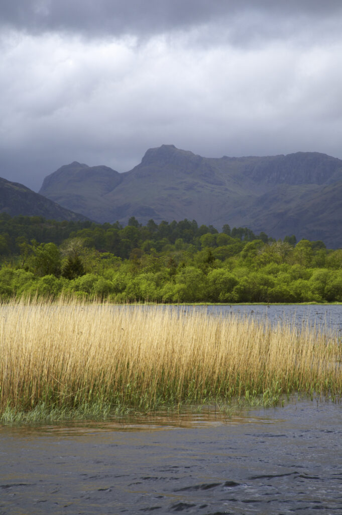
England, Cumbria, The Lake District National Park. Reeds in the still waters of Lake Elterwater with the Langdale mountains in the distance.
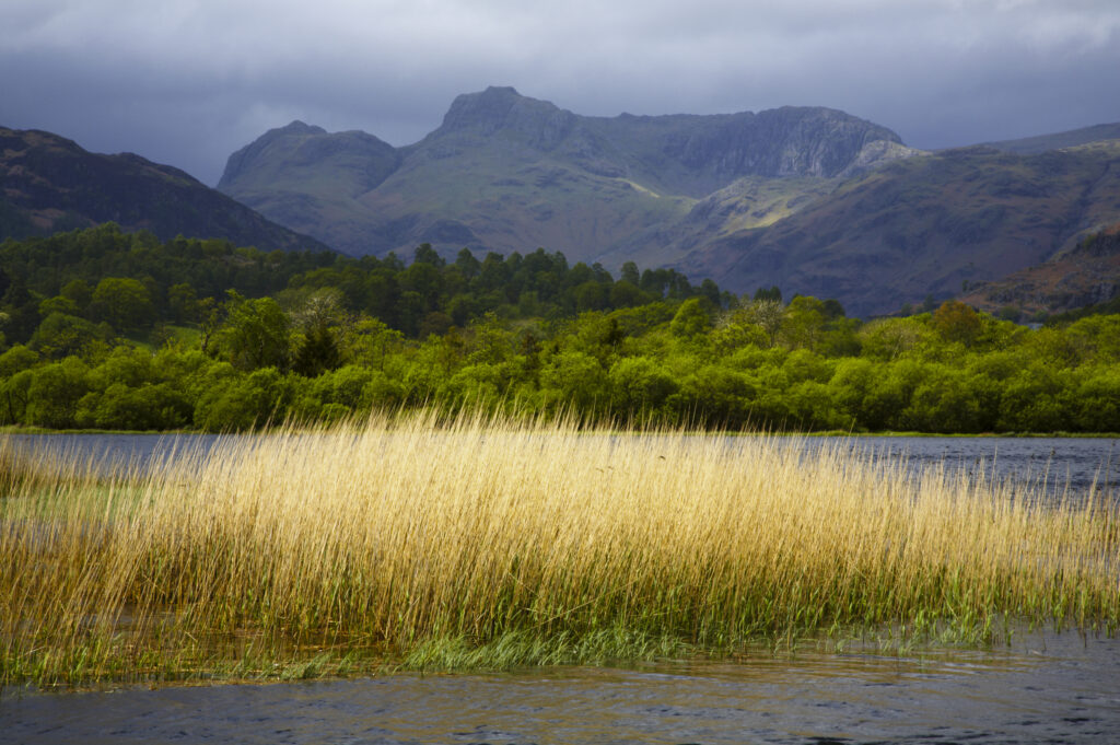
England, Cumbria, The Lake District National Park. Reeds in the still waters of Lake Elterwater with the Langdale mountains in the distance.
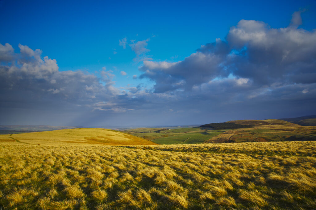
England, Northumberland, Northumberland National Park. The typical landscape encountered on the St Cuthberts way track nr Wooler
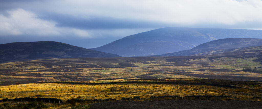
England, Northumberland, Northumberland National Park. The Cheviot and other typical landscape encountered on the St Cuthberts way track nr Wooler
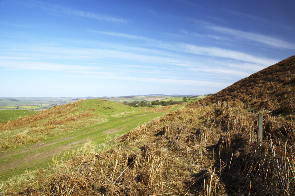
England, Northumberland, Northumberland National Park. Public footpath running through typical Northumberland scenery near Wooler
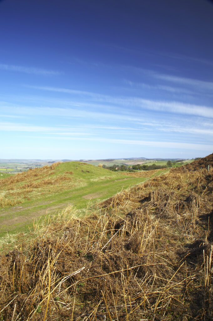
England, Northumberland, Northumberland National Park. Public footpath running through typical Northumberland scenery near Wooler
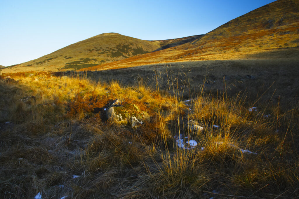
England, Northumberland, Northumberland National Park. The typical landscape encountered on the St Cuthberts way long distance track near Hethpool Mill as the track continues from the start of the College Valley to the town of wooler – the self proclaimed gateway to the cheviots and the Northumberland National Park
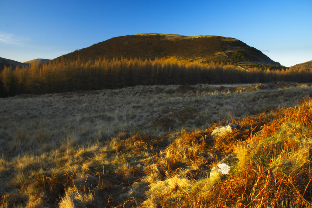
England, Northumberland, Northumberland National Park. The typical landscape encountered on the St Cuthberts way long distance track near Hethpool Mill as the track continues from the start of the College Valley to the town of wooler – the self proclaimed gateway to the cheviots and the Northumberland National Park
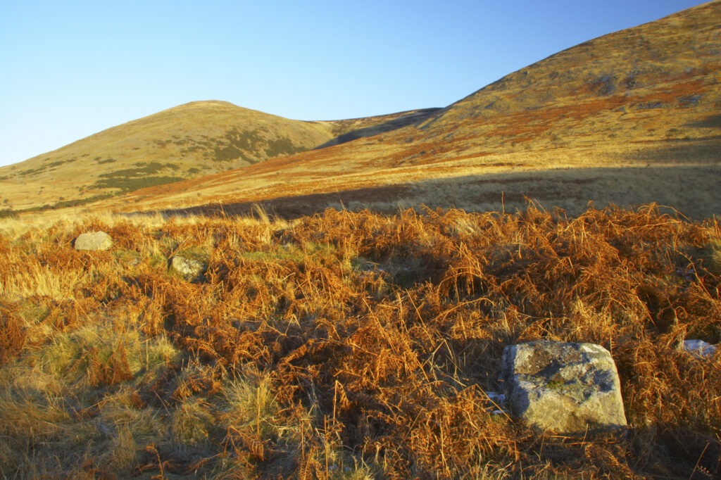
England, Northumberland, Northumberland National Park. The typical landscape encountered on the St Cuthberts way long distance track near Hethpool Mill as the track continues from the start of the College Valley to the town of wooler – the self proclaimed gateway to the cheviots and the Northumberland National Park
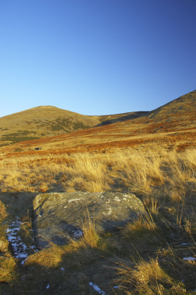
England, Northumberland, Northumberland National Park. The typical landscape encountered on the St Cuthberts way long distance track near Hethpool Mill as the track continues from the start of the College Valley to the town of wooler – the self proclaimed gateway to the cheviots and the Northumberland National Park
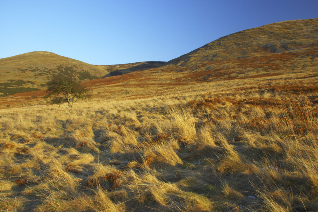
England, Northumberland, Northumberland National Park. The typical landscape encountered on the St Cuthberts way long distance track near Hethpool Mill as the track continues from the start of the College Valley to the town of wooler – the self proclaimed gateway to the cheviots and the Northumberland National Park
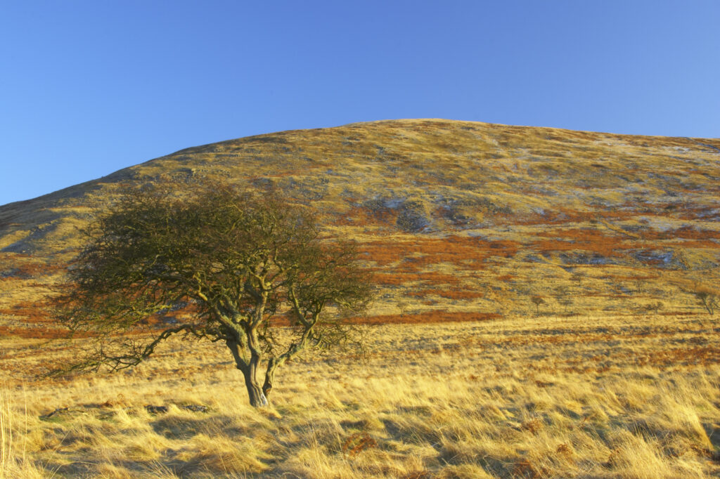
England, Northumberland, Northumberland National Park. The typical landscape encountered on the St Cuthberts way long distance track near Hethpool Mill as the track continues from the start of the College Valley to the town of wooler – the self proclaimed gateway to the cheviots and the Northumberland National Park
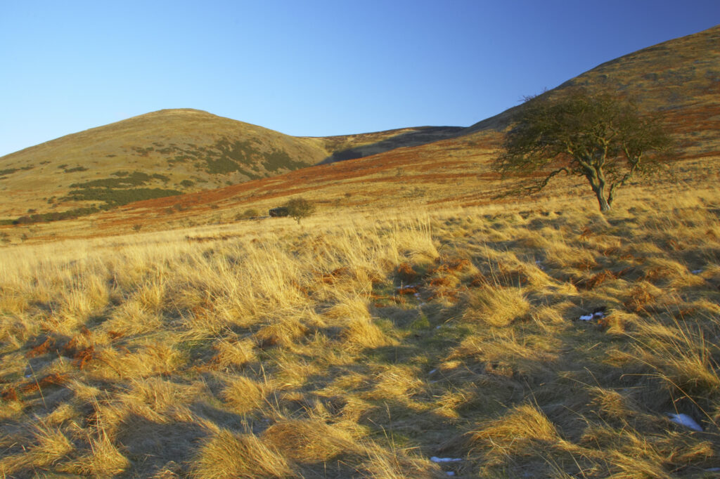
England, Northumberland, Northumberland National Park. The typical landscape encountered on the St Cuthberts way long distance track near Hethpool Mill as the track continues from the start of the College Valley to the town of wooler – the self proclaimed gateway to the cheviots and the Northumberland National Park
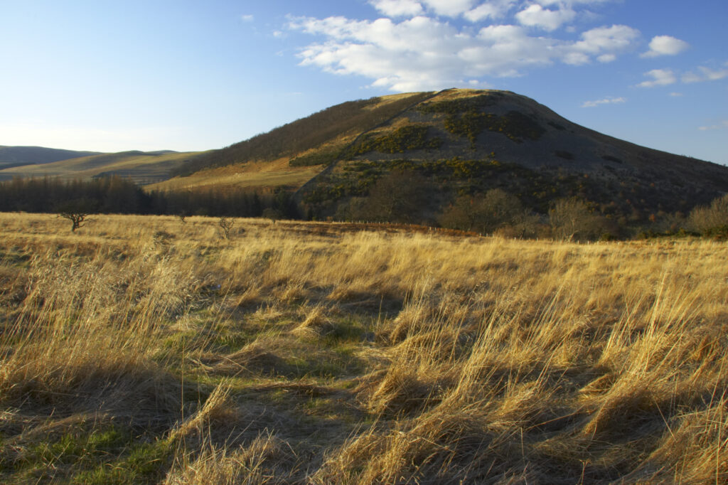
England, Northumberland, Northumberland National Park. The typical landscape encountered on the St Cuthberts way long distance track near Hethpool Mill as the track continues from the start of the College Valley to the town of wooler – the self proclaimed gateway to the cheviots and the Northumberland National Park
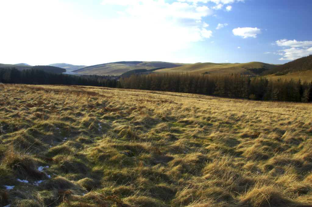
England, Northumberland, Northumberland National Park. The typical landscape encountered on the St Cuthberts way long distance track near Hethpool Mill as the track continues from the start of the College Valley to the town of wooler – the self proclaimed gateway to the cheviots and the Northumberland National Park
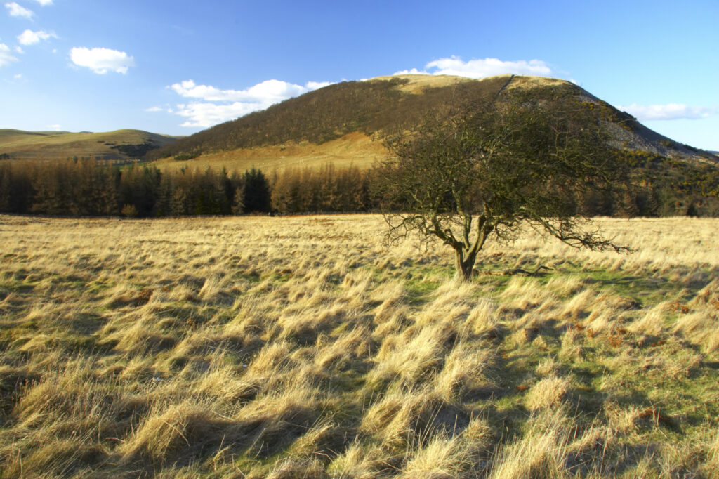
England, Northumberland, Northumberland National Park. The typical landscape encountered on the St Cuthberts way long distance track near Hethpool Mill as the track continues from the start of the College Valley to the town of wooler – the self proclaimed gateway to the cheviots and the Northumberland National Park
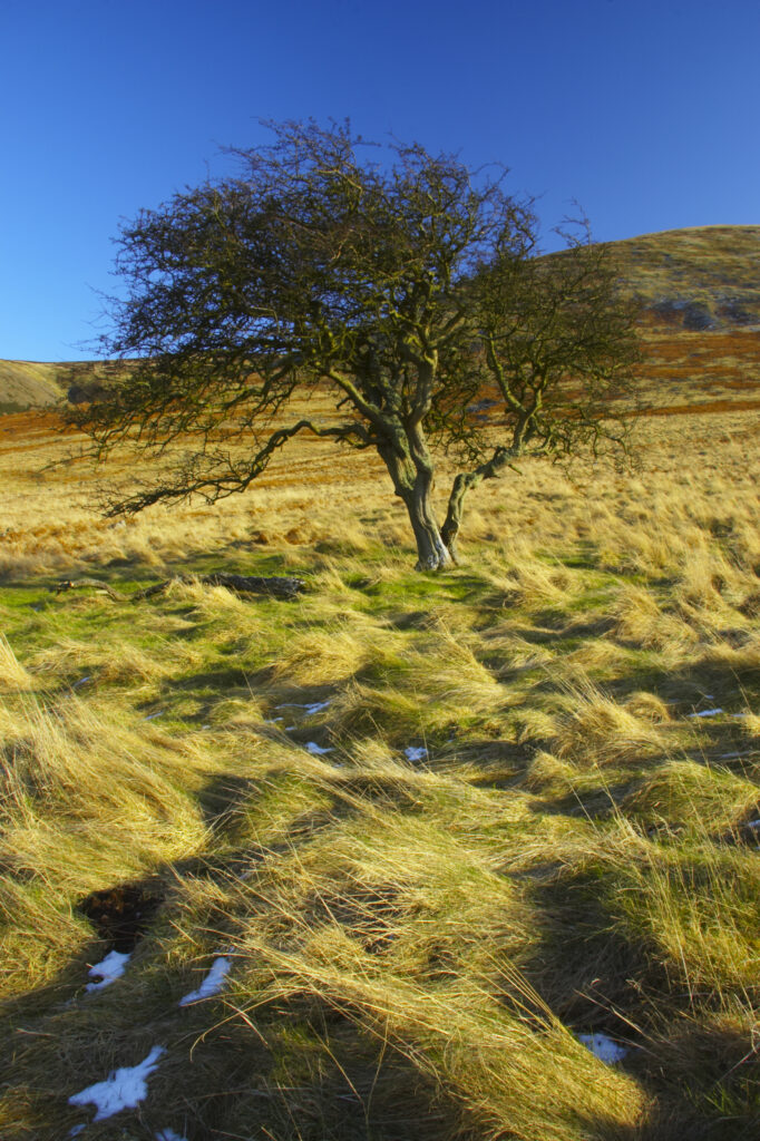
England, Northumberland, Northumberland National Park. The typical landscape encountered on the St Cuthberts way long distance track near Hethpool Mill as the track continues from the start of the College Valley to the town of wooler – the self proclaimed gateway to the cheviots and the Northumberland National Park
Favourites
Photofeed
