
Your search for “nt” returned 5970 images.
Clear Search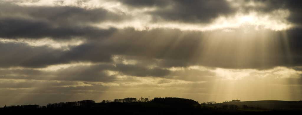
Scotland, Scottish Borders, Harelaw Moor. Shafts of light break through storm clouds near Harelaw Moor.
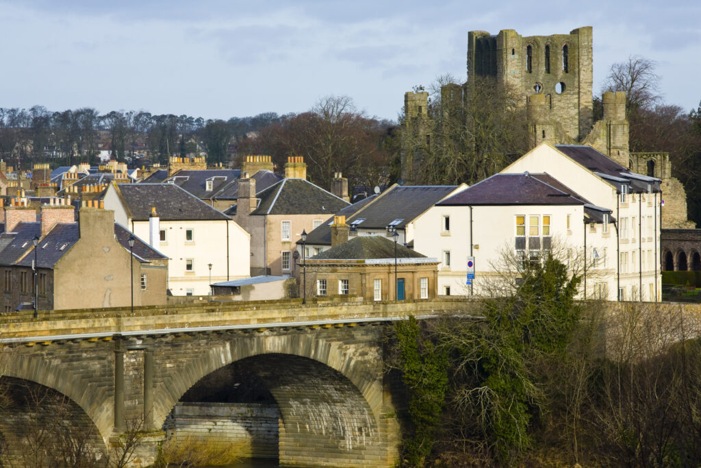
Scotland, Scottish Borders, Kelso. Looking towards the town of Kelso from the Millennium Viewpoint.
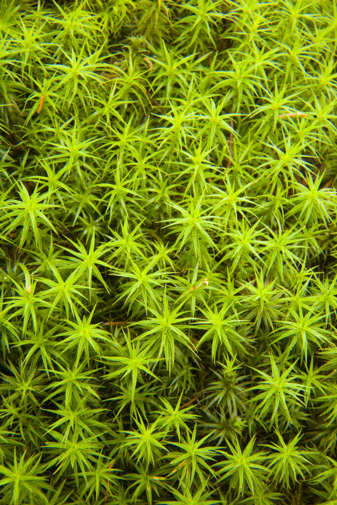
Scotland, Scottish Borders, Wauchope Forest. Close up view of moss. The clean air and damp environment of the Scottish Borders provides a perfect growing environment for such plants.
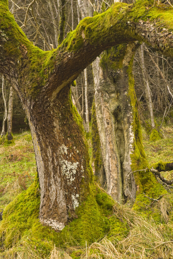
Scotland, Scottish Borders, Cragbank Woods. Deciduous trees found at Cragbank Woods National Nature Reserve. This protected woodland is the largest area of ancient Ash, Elm and Hazel woodland left in the Scottish Borders.
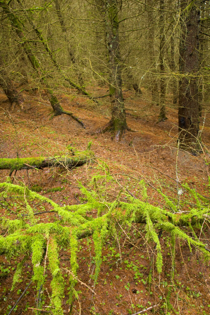
Scotland, Scottish Borders, Wauchope Forest. Wind damaged tree covered in moss on the floor of a forest plantation in Wauchope Forest.
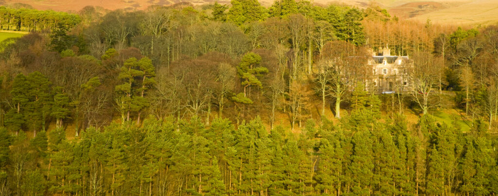
Scotland, Scottish Borders. Grand house located in forest plantation east of Gala Water.
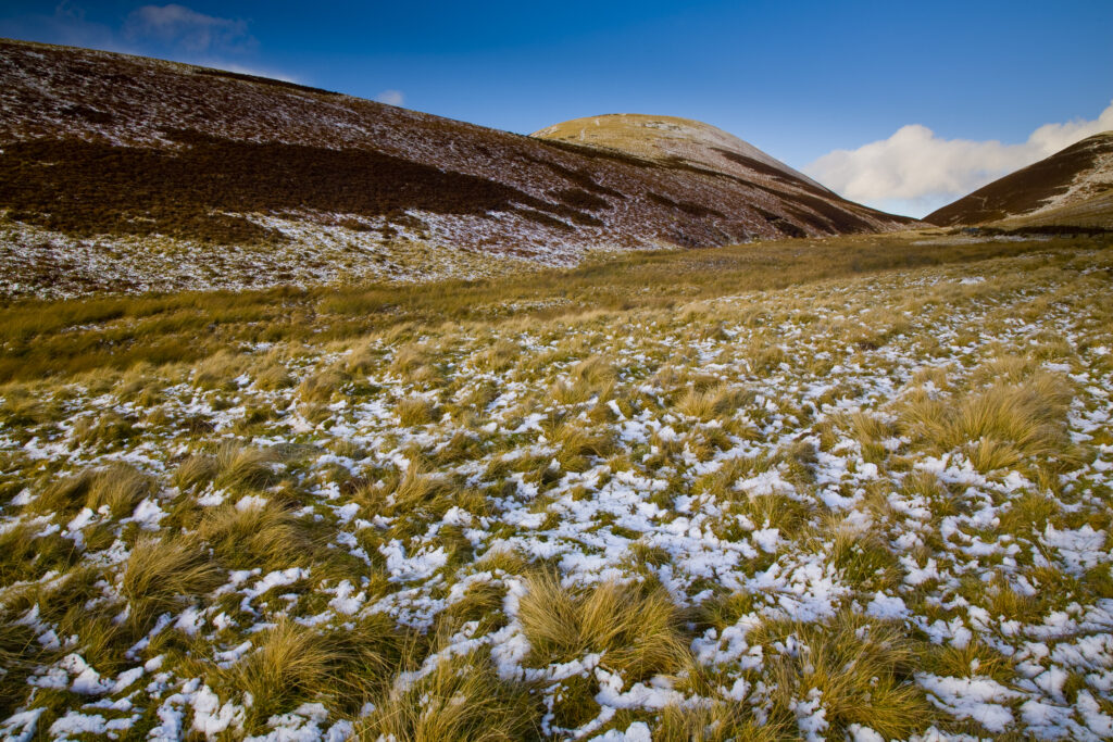
Scotland, Scottish Borders. A sprinkle of snow on the slopes of Leithen Hopes.
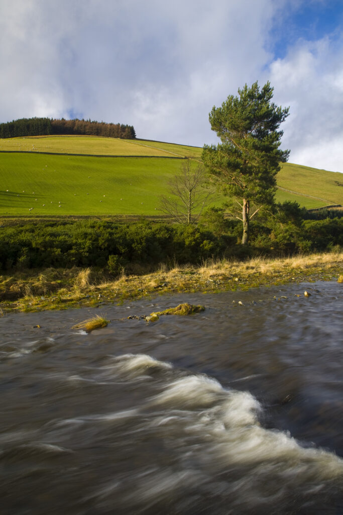
Scotland, Scottish Borders, Leithen Water. The gentle flowing rapids of Leithen Water.
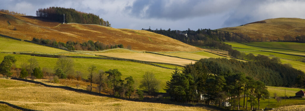
Scotland, Scottish Borders, Tweed Valley.Panoramic view of the Tweed Valley, viewed from near Walkerburn.
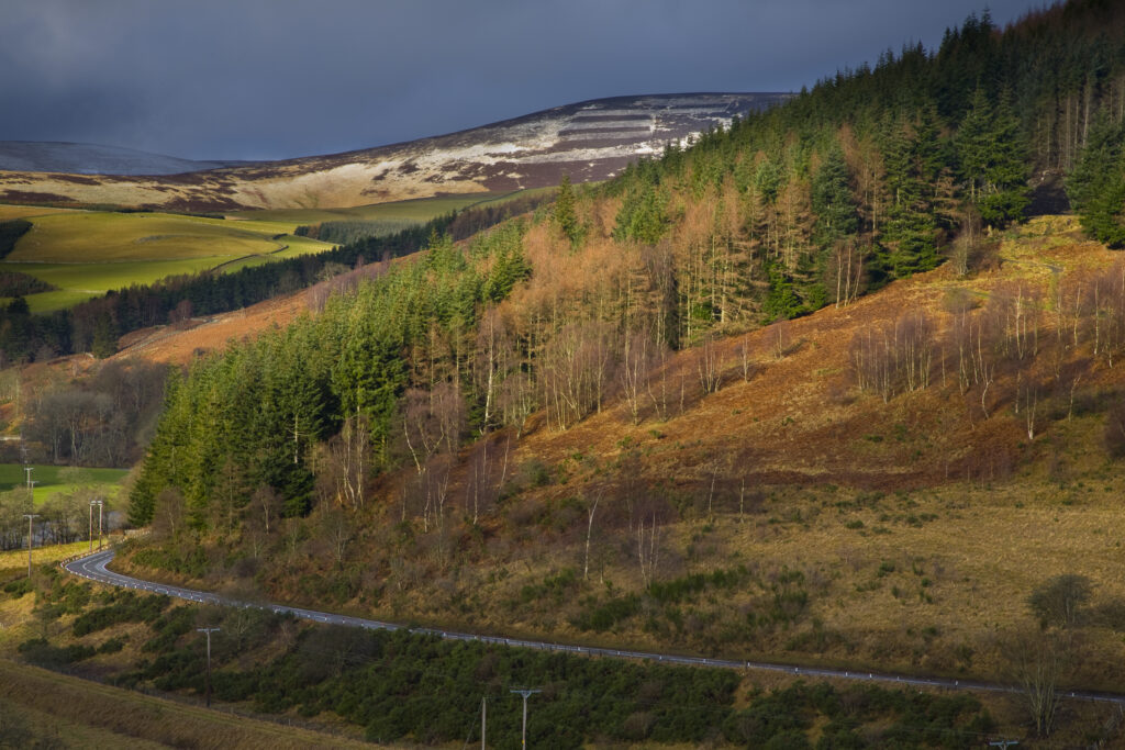
Scotland, Scottish Borders. A breaking storm reveals a dusting of snow on the Moorfoot Hills. The popular Glentress forest can be seen in the foreground.
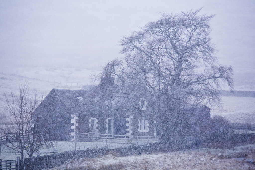
Scotland, Scottish Borders, Glentude Hill. A snow blizzard engulfs a farm house situated near the remote Glenlude Hill.
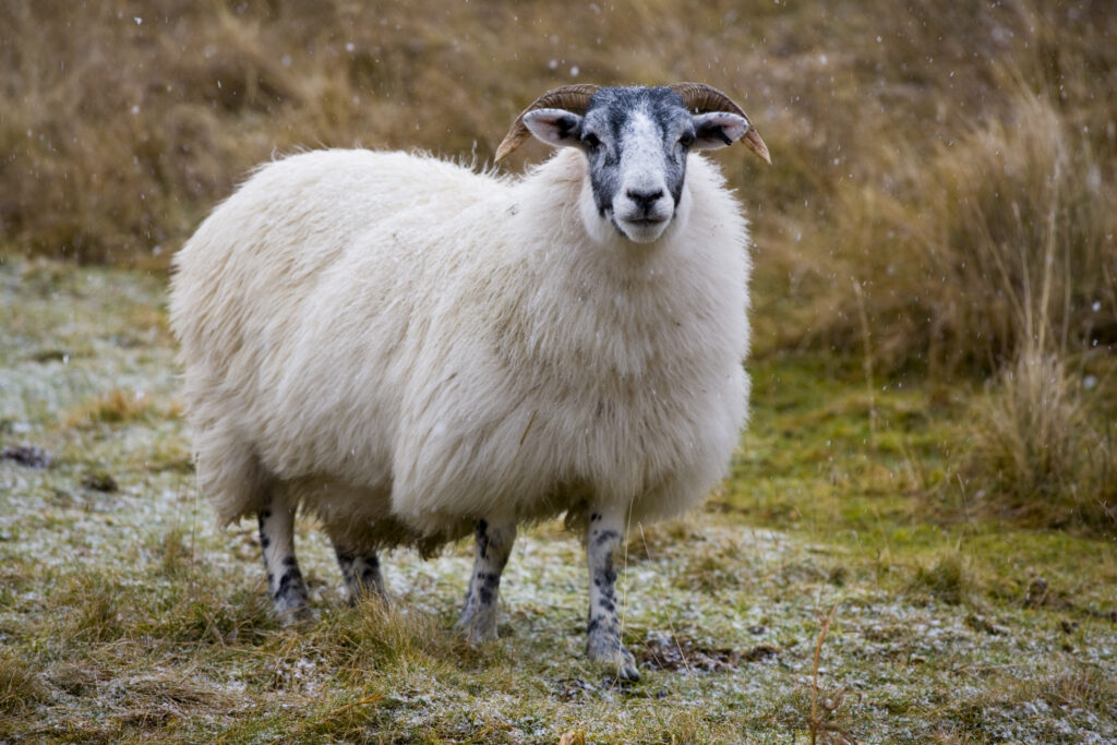
Scotland, Scottish Borders, Sheep near Glentude Hill. A thick coat of wool helps to ensure that grazing sheep can survive the hostile environment of the winter months in the Scottish Borders.
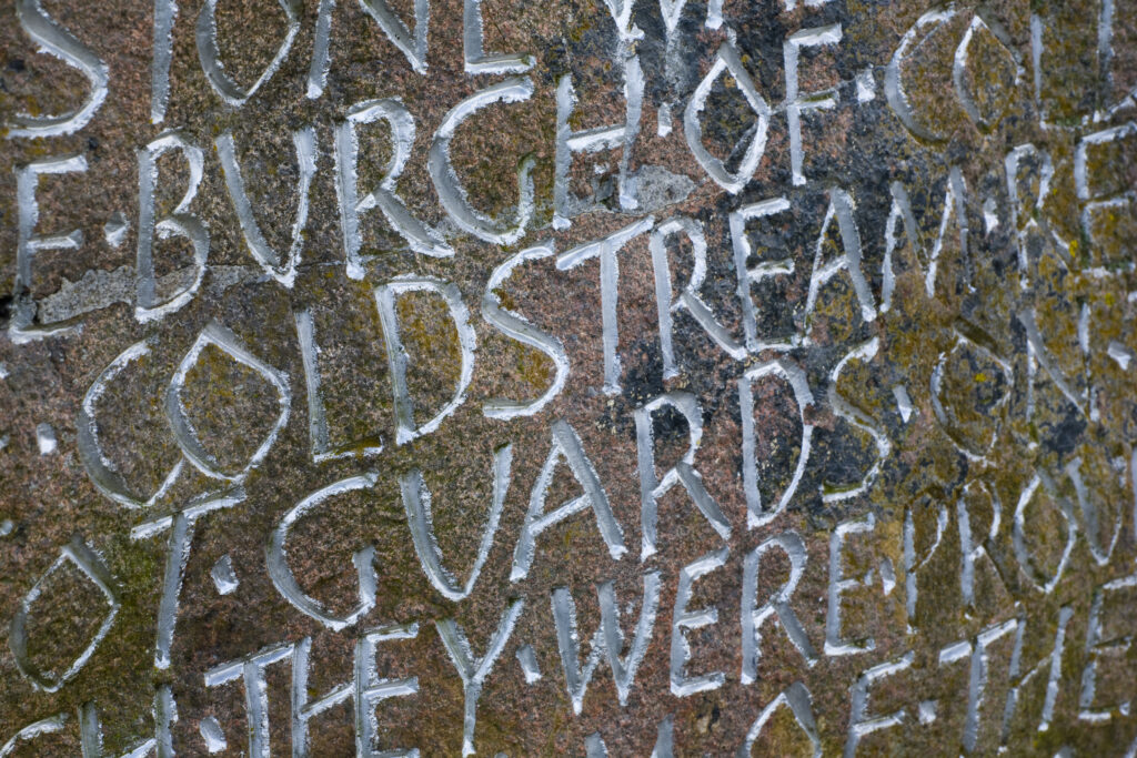
Scotland, Scottish Borders, Coldstream. Inscription on a memorial stone celebrating the formation of the Coldstream Guards.
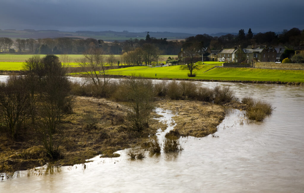
Scotland, Scottish Borders, Coldstream. Looking across the River Tweed, the natural border between England and Scotland.
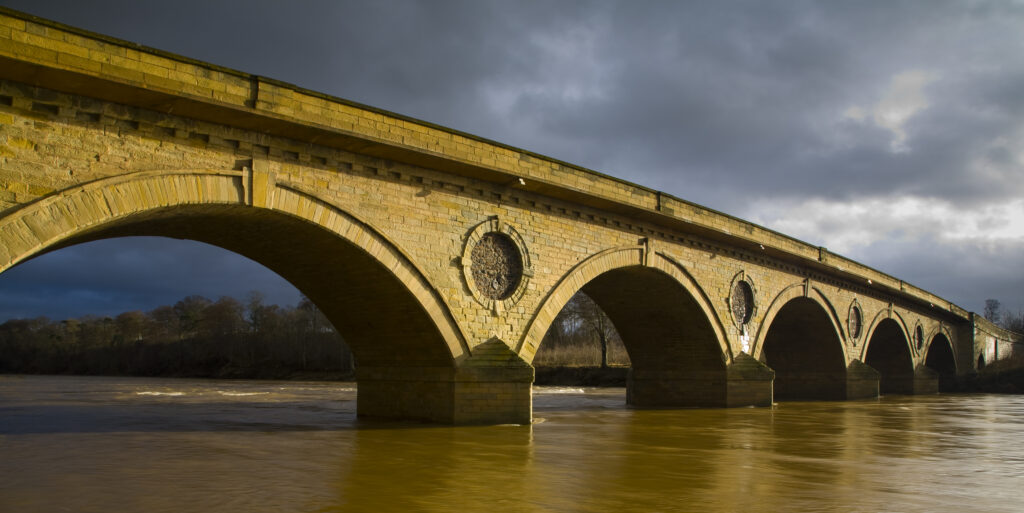
Scotland, Scottish Borders, Coldstream. Smeaton's seven arched bridge near Coldstream, was constructed between 1763 to 1766. Robert Burns famously crossed the bridge into England for the first time on the 7th May 1787.
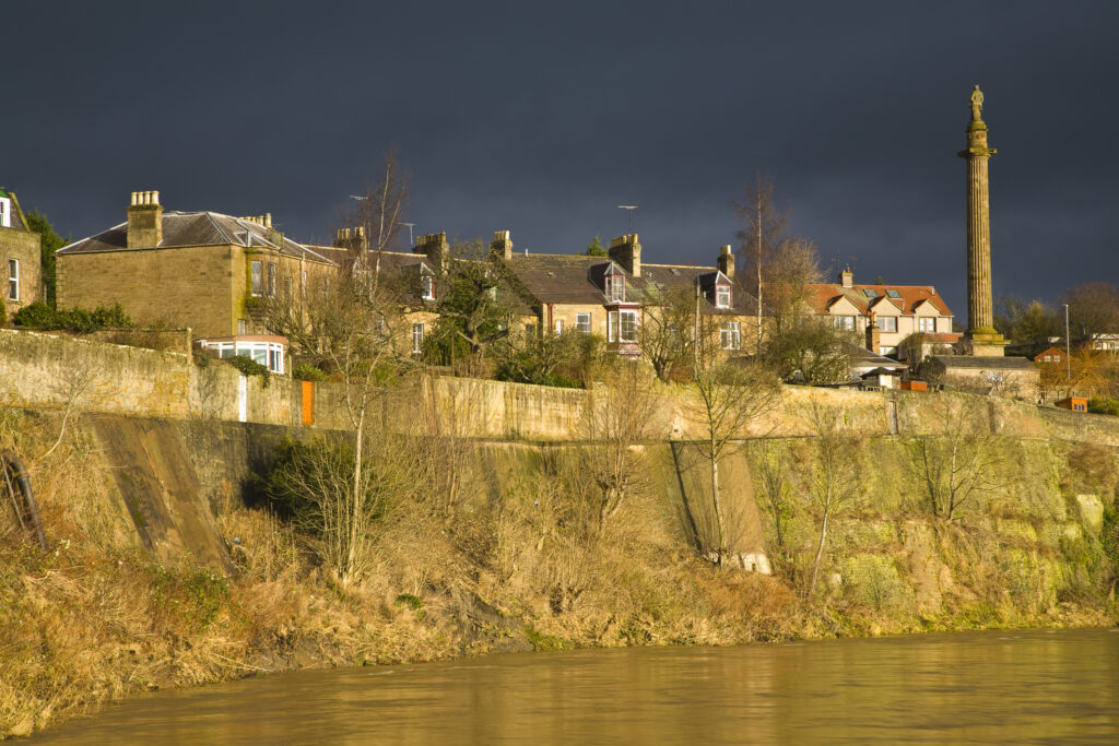
Scotland, Scottish Borders, Coldstream. The town houses and monuments of Coldstream, located on the banks of the River Tweed.
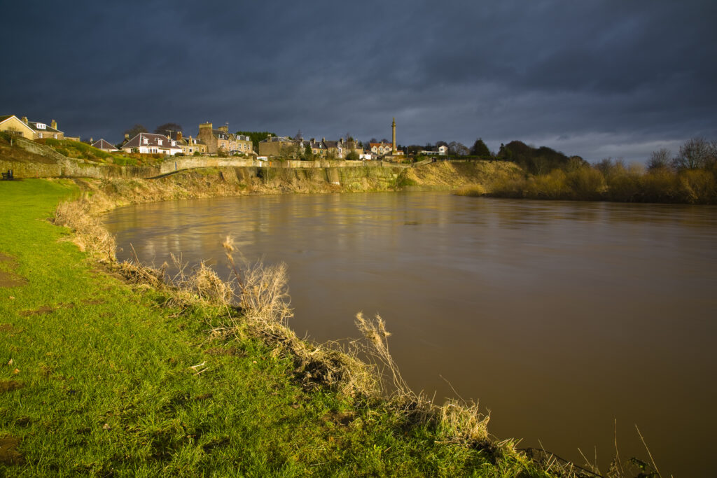
Scotland, Scottish Borders, Coldstream. The River Tweed dominates the landscape near Coldstream, the self proclaimed first true border ‘toon’.
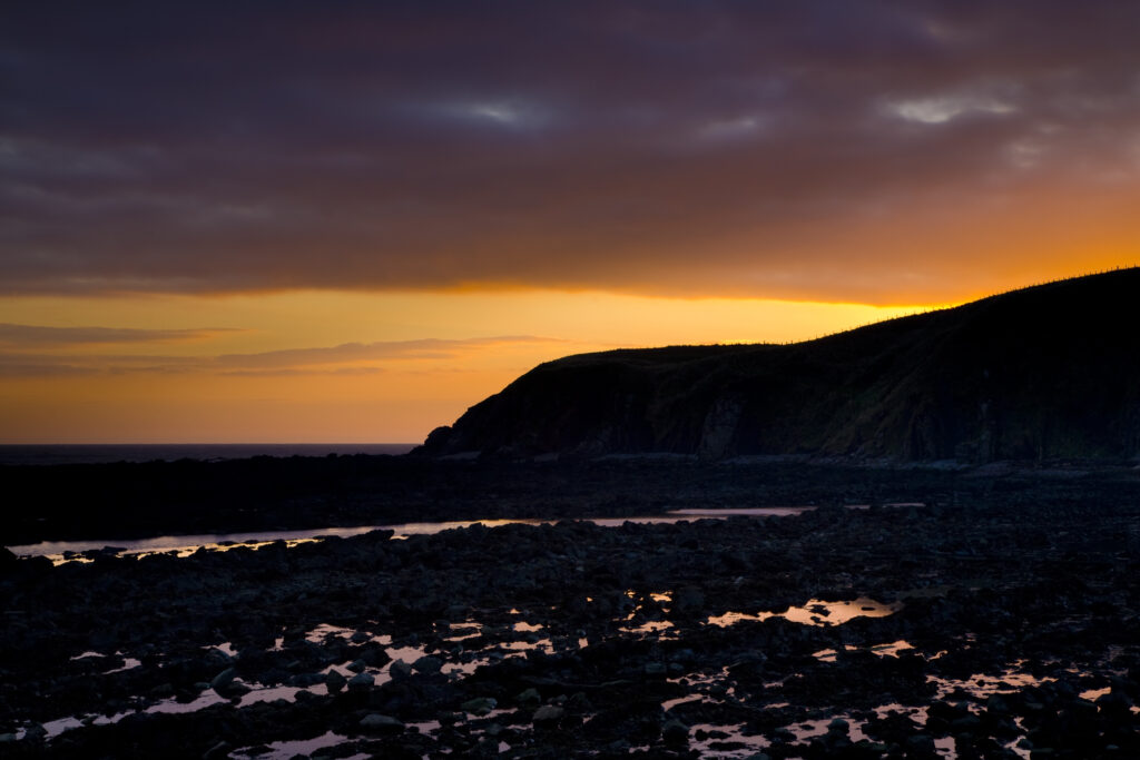
Scotland, Scottish Borders, Burnmouth. Sunrise over the North Sea near the village of Burnmouth – the first settlement to be found in Scotland after crossing the English border near the coast.
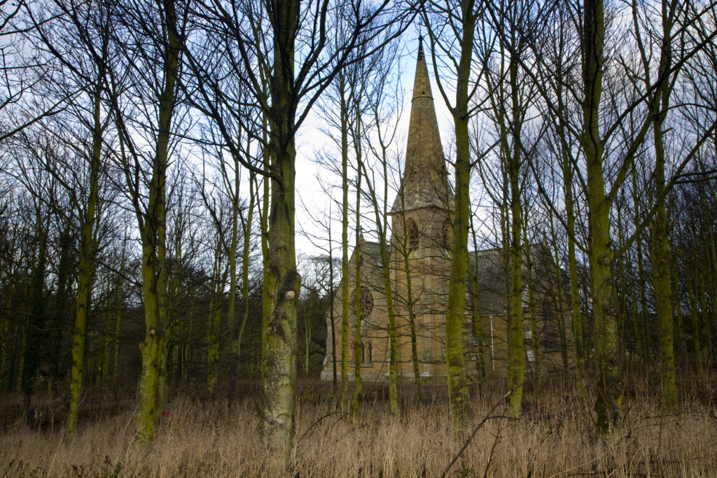
Scotland, Scottish Borders, Ayton. The new parish church in the village of Ayton.
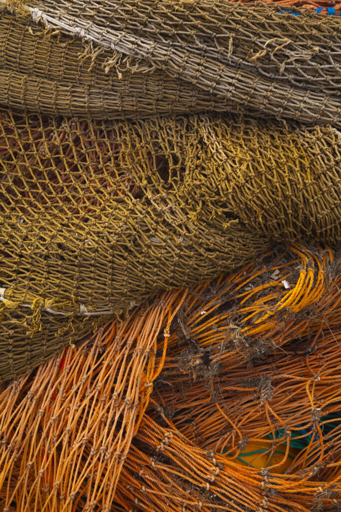
Scotland, Scottish Borders, Eyemouth. Entwined fishing nets stored in the harbour of Eyemouth.
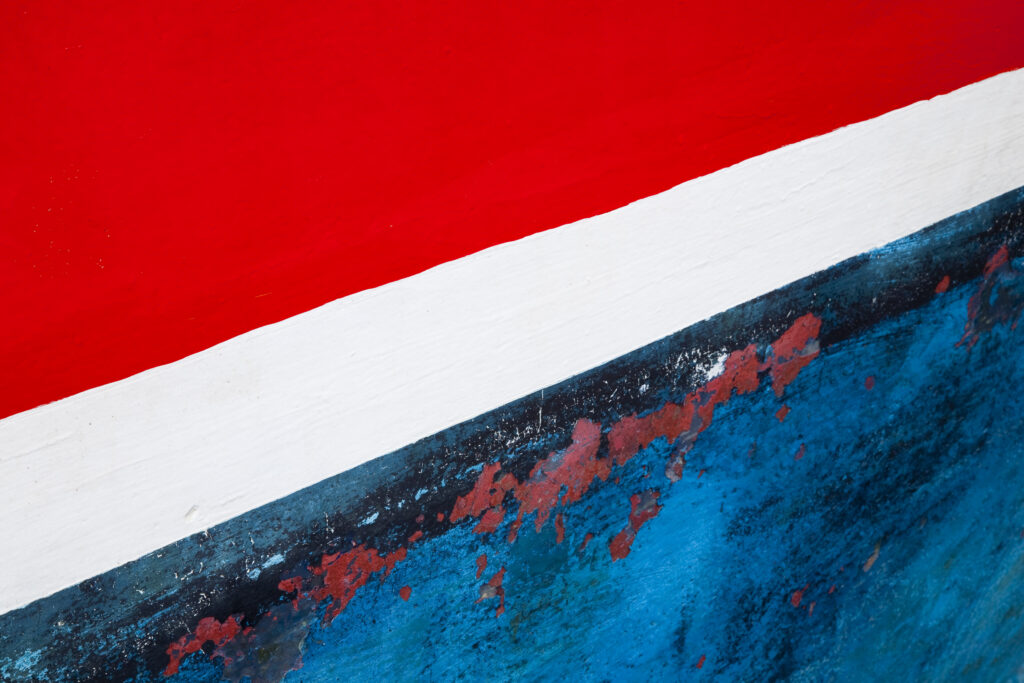
Scotland, Scottish Borders, St Abbs.. Weathered paint work on the hull of a fishing boat moored in the harbour of St Abbs.
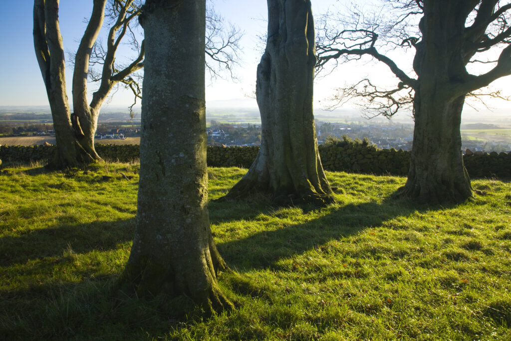
Scotland, Scottish Borders, Duns. A small group of trees located on a hill above the town of Duns, looking north towards England and the Cheviot hills.
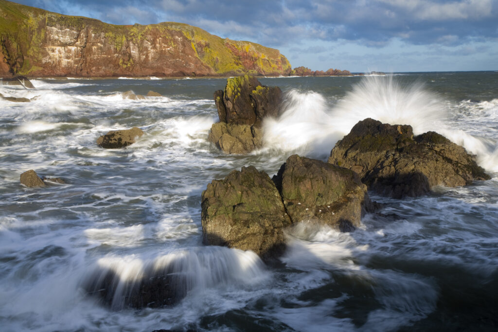
Scotland, Scottish Borders, St Abbs. Winter storms create a huge swell in the North Sea near St Abbs.
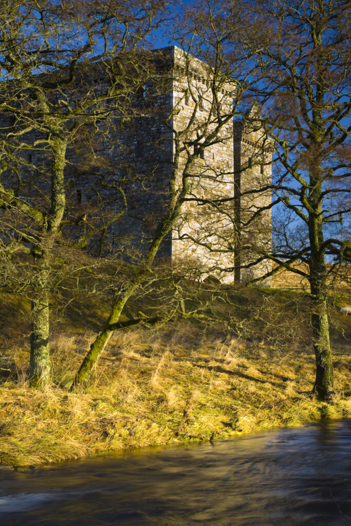
Scotland, Scottish Borders, Hermitage Castle. Hermitage water running in front of the Hermitage Castle. The castle has a somewhat colourful history with numerous stories of war, treason and murder being associated with the property. It was built in an area considered to be a key element in the English and Scottish wars for control over the Liddesdale and the border area.
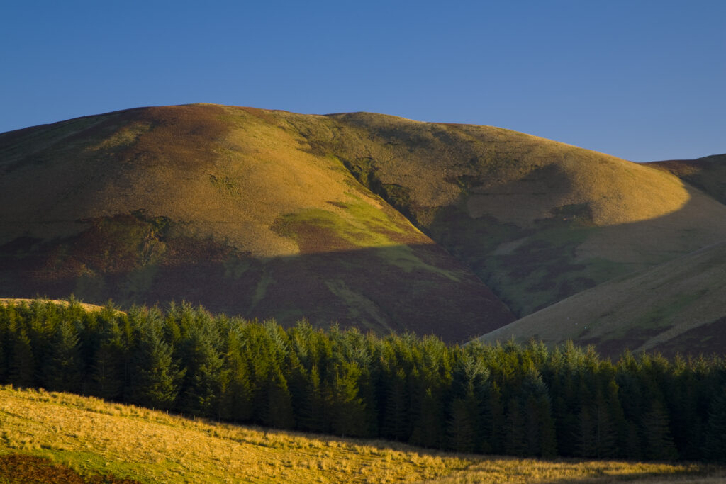
Scotland, Scottish Borders, Liddesdale. Rolling hills and forest plantation near the Dunfries and Galloway border in the Liddesdale area.
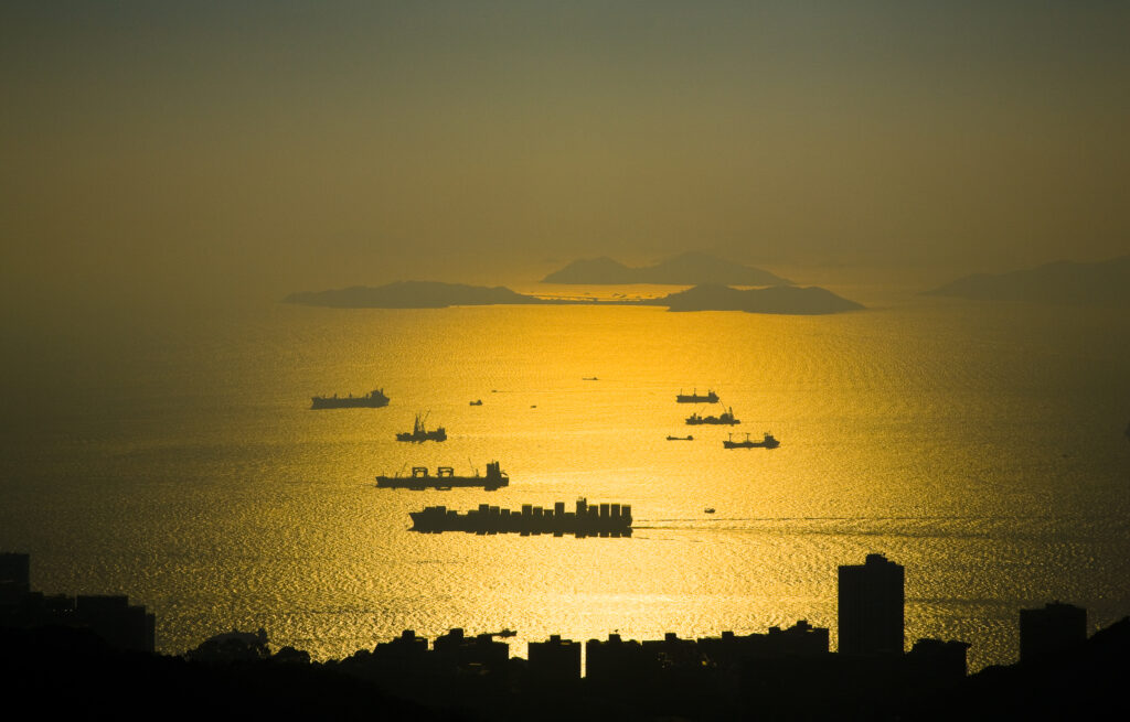
People's Republic of China, Hong Kong Special Administrative Region, Hong Kong Island. Sunset viewed from near the Peak complex.
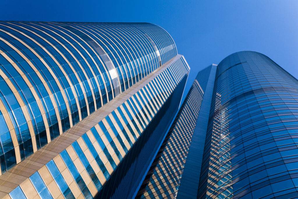
People's Republic of China, Hong Kong Special Administrative Region, Hong Kong Island. Abstract view of the modern architecture of the Hong Kong financial district.
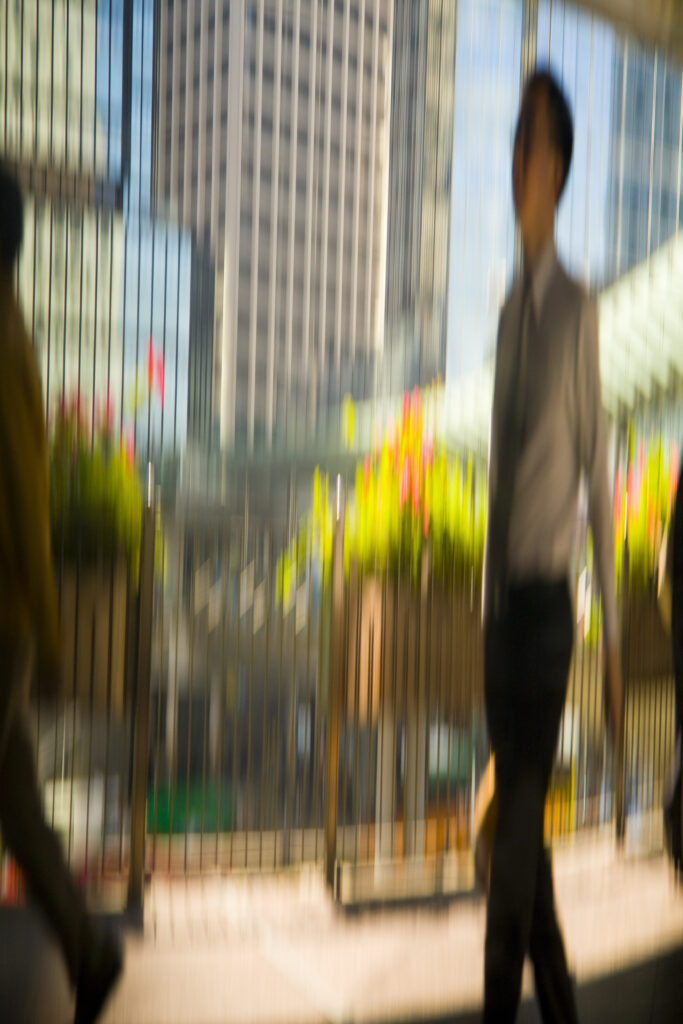
People's Republic of China, Hong Kong Special Administrative Region, Hong Kong Island. Abstract view of office worker and business men walking among the financial district of Hong Kong.
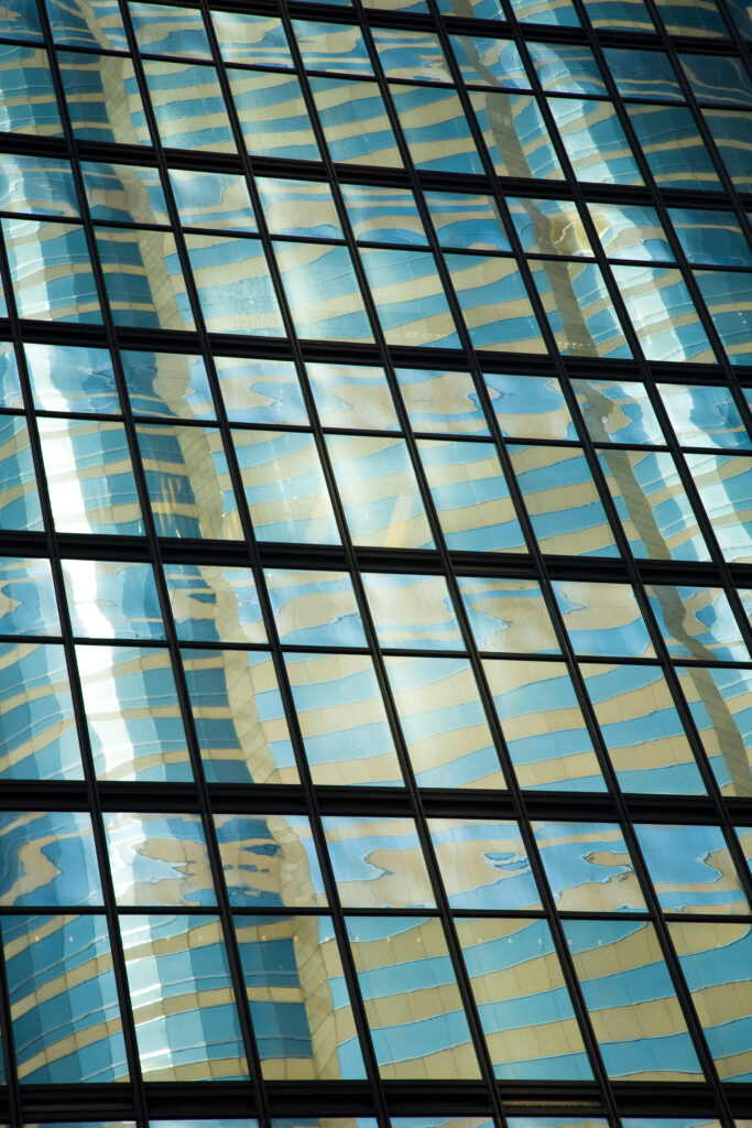
People's Republic of China, Hong Kong Special Administrative Region, Hong Kong Island. Abstract view of the modern architecture of the Hong Kong financial district.
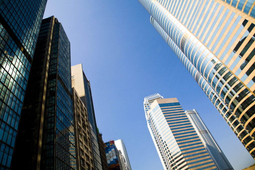
People's Republic of China, Hong Kong Special Administrative Region, Hong Kong Island. Abstract view of the modern architecture of the Hong Kong financial district.
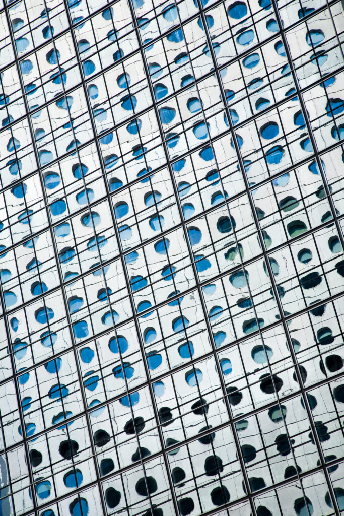
People's Republic of China, Hong Kong Special Administrative Region, Hong Kong Island. Abstract view of the modern architecture of the Hong Kong financial district.
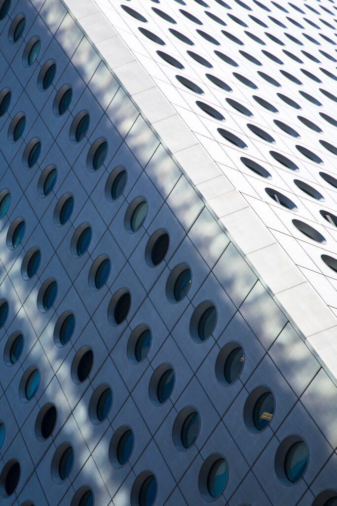
People's Republic of China, Hong Kong Special Administrative Region, Hong Kong Island. Abstract view of the modern architecture of the Hong Kong financial district.
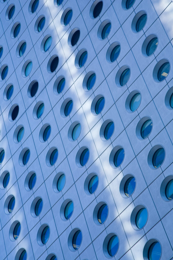
People's Republic of China, Hong Kong Special Administrative Region, Hong Kong Island. Abstract view of the modern architecture of the Hong Kong financial district.
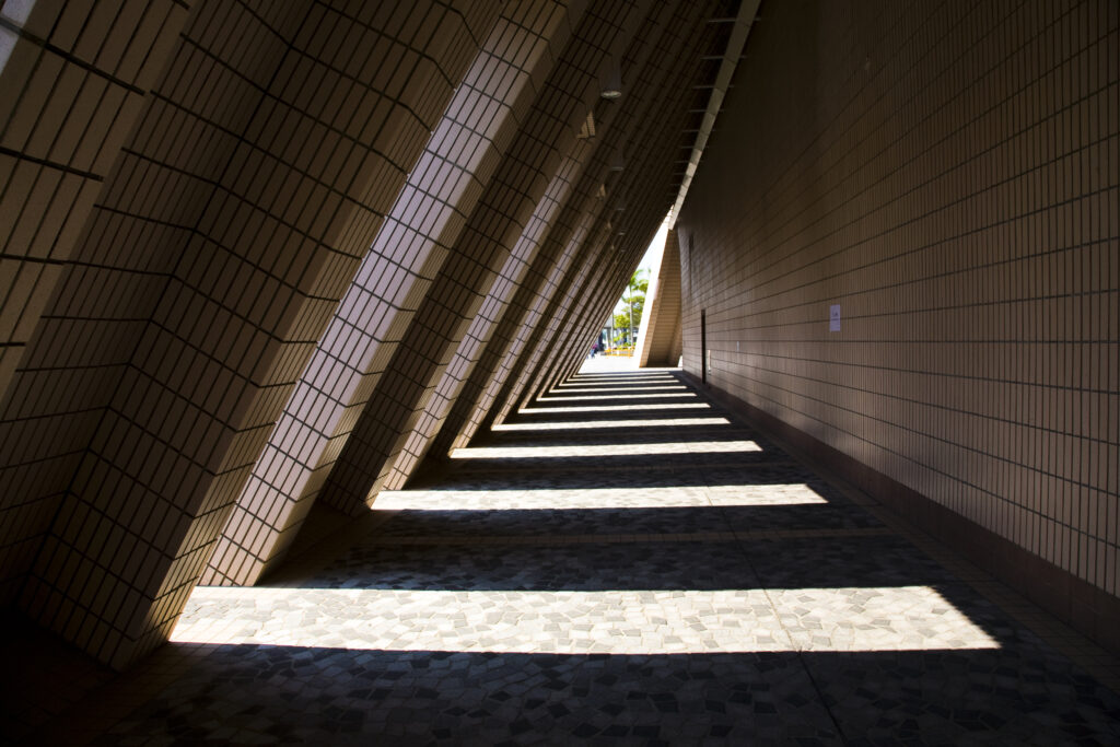
People's Republic of China, Hong Kong Special Administrative Region, Kowloon. Abstract view of a building near the public square in Tsim Sha Tsui.
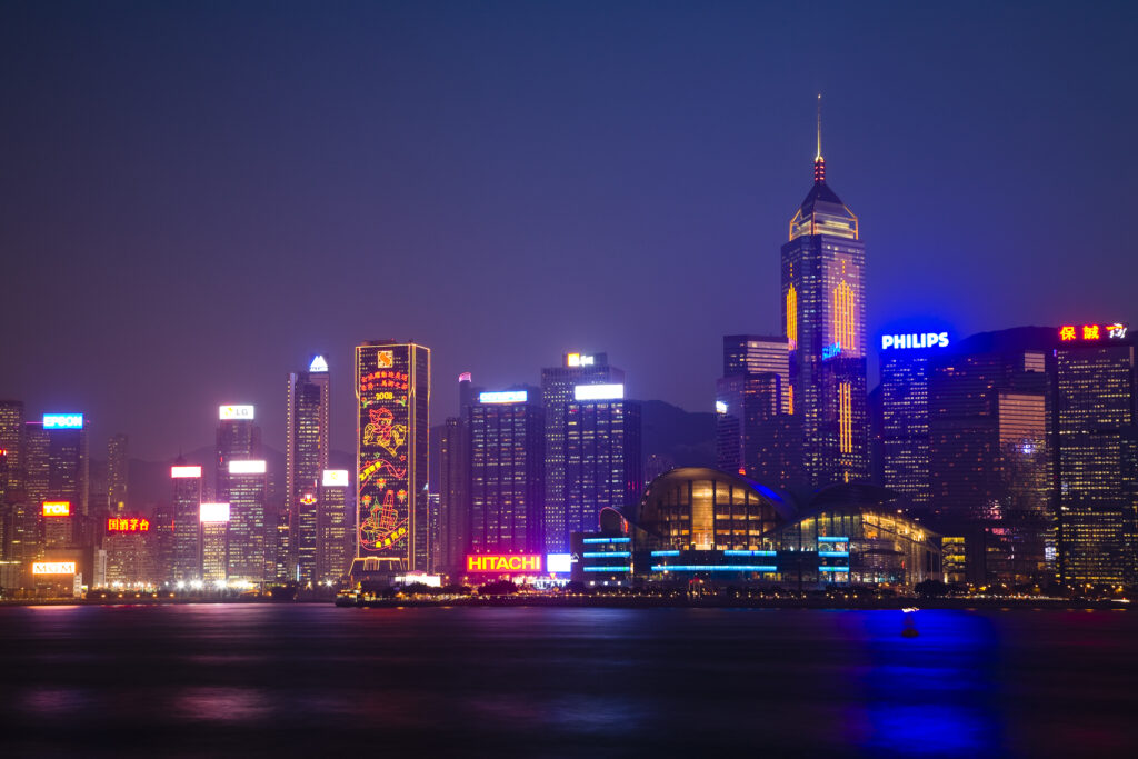
People's Republic of China, Hong Kong Special Administrative Region, Kowloon. The skyline of Kong Kong island viewed at dusk across Victoria Harbour from Kowloon.
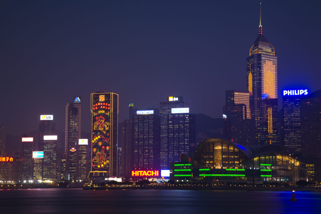
People's Republic of China, Hong Kong Special Administrative Region, Kowloon. The skyline of Kong Kong island viewed at dusk across Victoria Harbour from Kowloon.
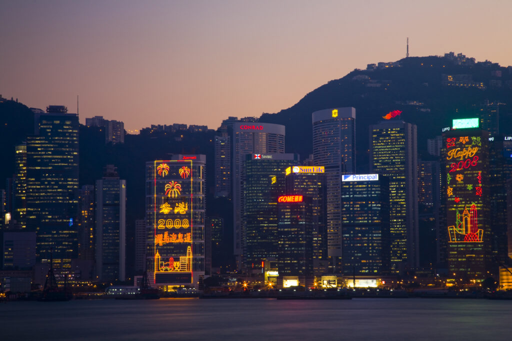
People's Republic of China, Hong Kong Special Administrative Region, Kowloon. The skyline of Kong Kong island viewed at dusk across Victoria Harbour from Kowloon.
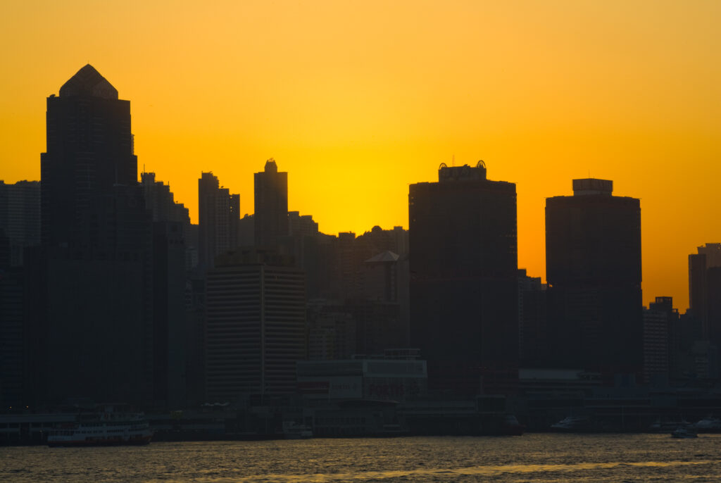
People's Republic of China, Hong Kong Special Administrative Region, Kowloon. The skyline of Kong Kong island viewed at sunset across Victoria Harbour from Kowloon.
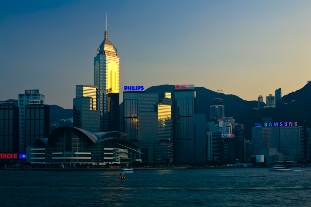
People's Republic of China, Hong Kong Special Administrative Region, Kowloon. The skyline of Kong Kong island viewed across Victoria Harbour from Kowloon.
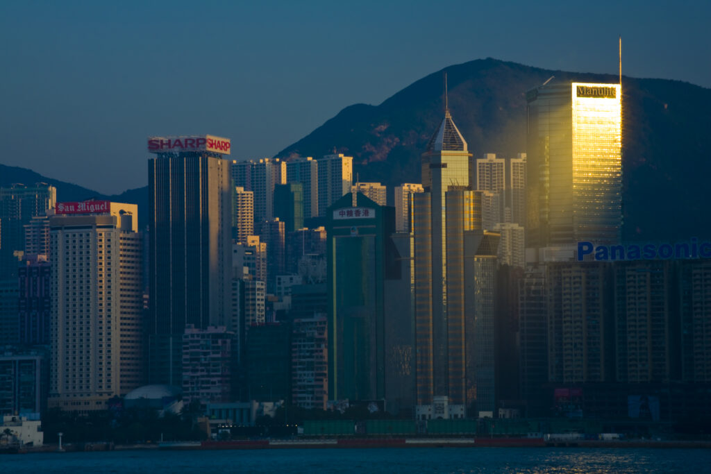
People's Republic of China, Hong Kong Special Administrative Region, Kowloon. The skyline of Kong Kong island viewed across Victoria Harbour from Kowloon.
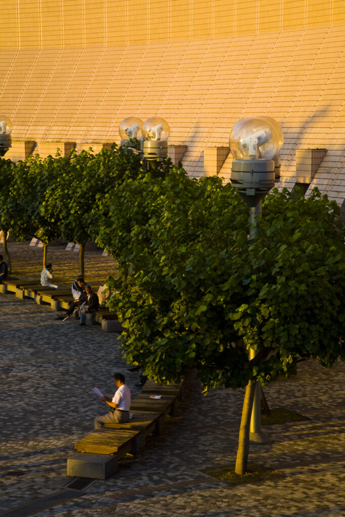
People's Republic of China, Hong Kong Special Administrative Region, Kowloon. Late afternoon light bathes a public square in Tsim Sha Tsui.
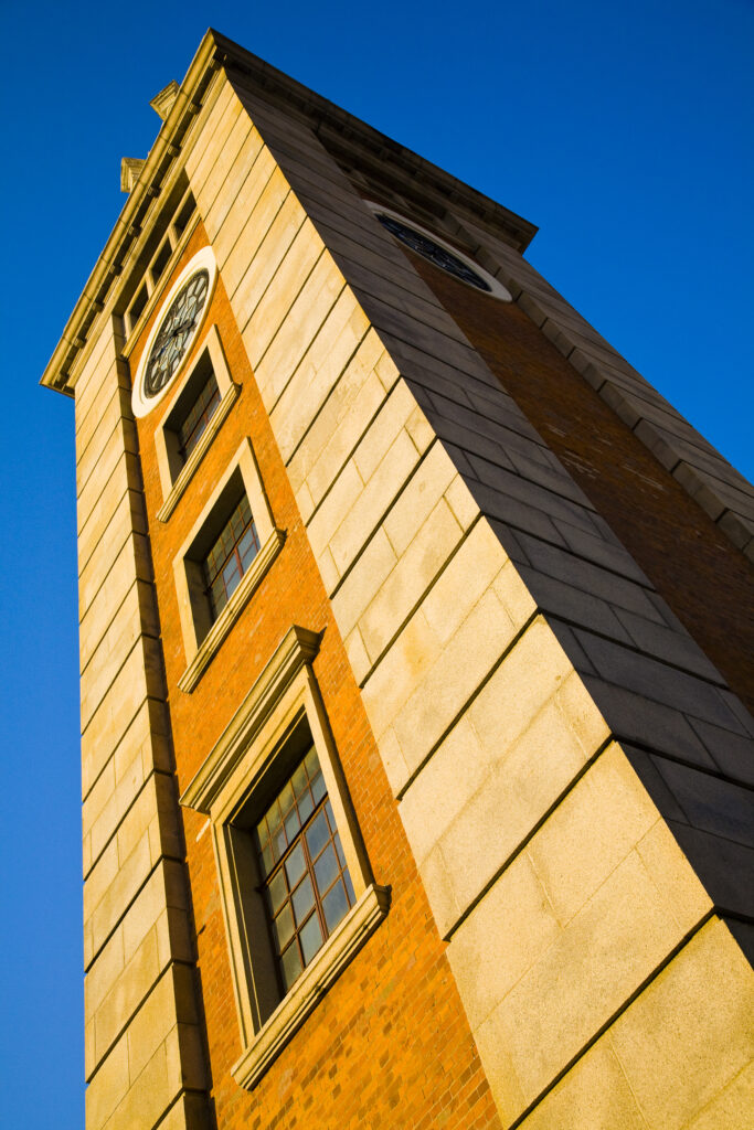
People's Republic of China, Hong Kong Special Administrative Region, Kowloon. The Clock Tower in Tsim Sha Tsui, a famous landmark of Kowloon.
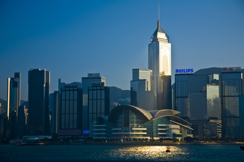
People's Republic of China, Hong Kong Special Administrative Region, Kowloon. The skyline of Kong Kong island viewed across Victoria Harbour from Kowloon.
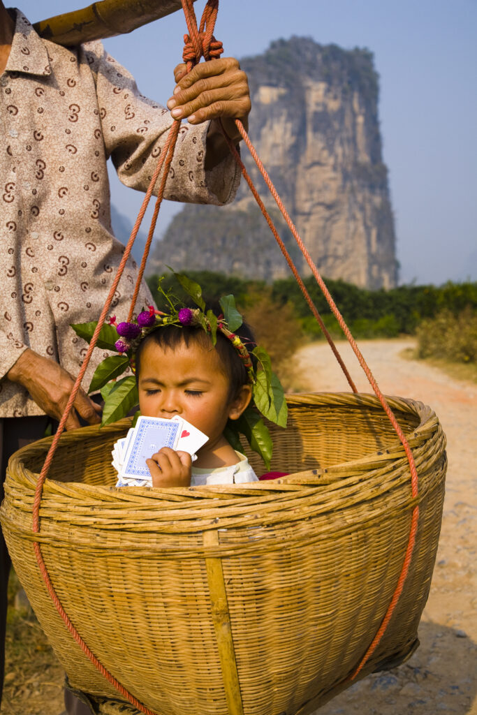
China, Guangxi Zhuang Autonomous Region, Yangshuo County. Young chinese child being carried in an hand woven basket along a rural road running through an agriculture landscape dominated by the Karst peaks of Yangshuo County.
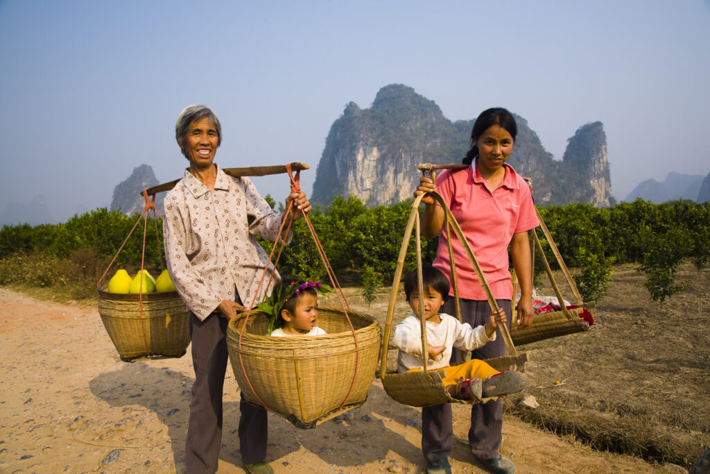
China, Guangxi Zhuang Autonomous Region, Yangshuo County. Two rural farm workers carry fruit and their children in hand woven baskets along a rural road running through an agriculture landscape dominated by the Karst peaks of Yangshuo County.
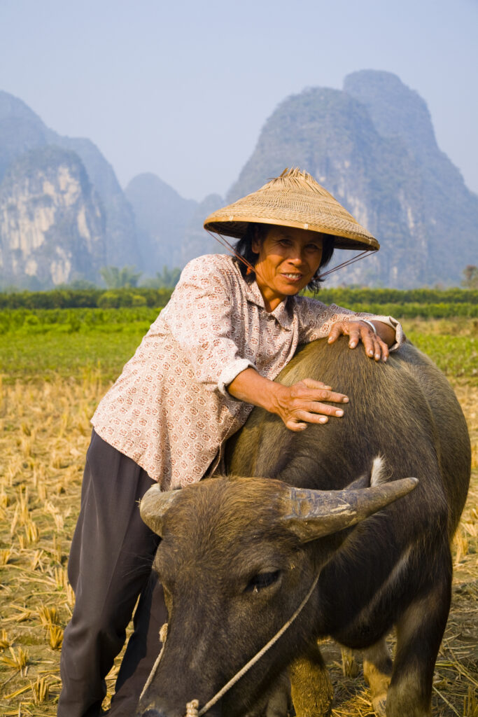
China, Guangxi Zhuang Autonomous Region, Yangshuo County. A chinese farmworker wearing a typical chinese hat, admires her domestic Buffalo which is grazing in an agriculture landscape dominated by the Karst peaks of Yangshuo County.
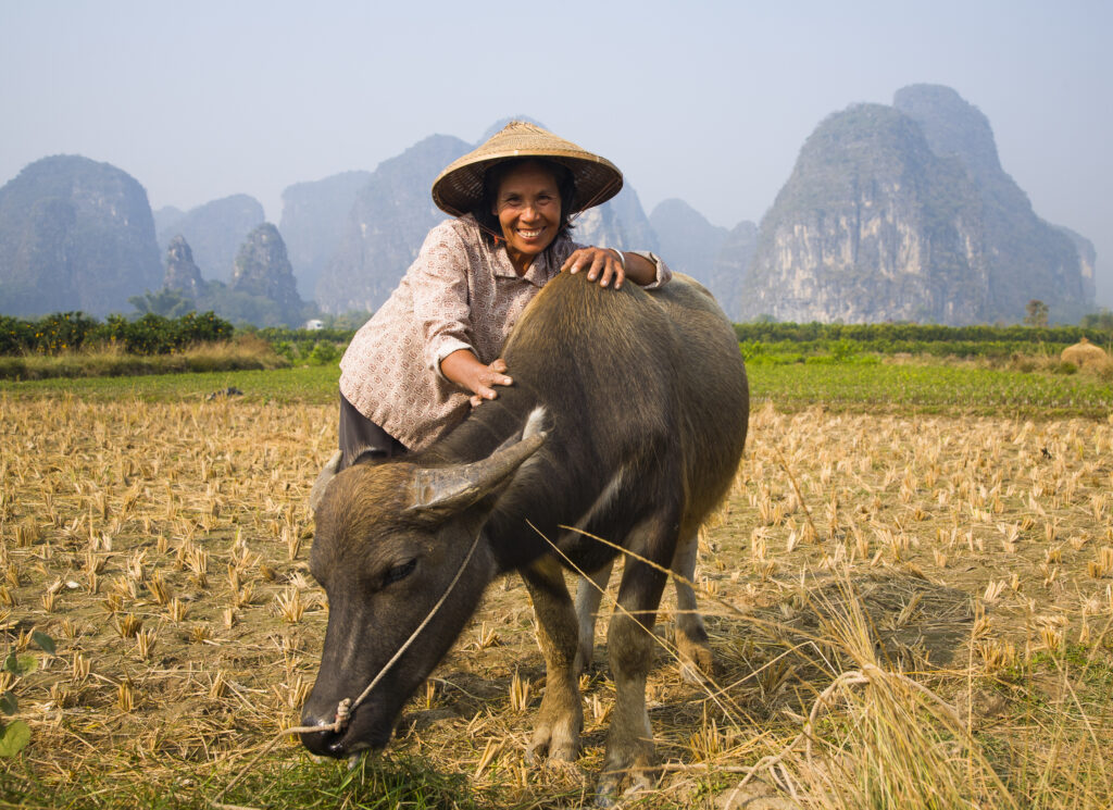
China, Guangxi Zhuang Autonomous Region, Yangshuo County. A chinese farmworker wearing a typical chinese hat, admires her domestic Buffalo which is grazing in an agriculture landscape dominated by the Karst peaks of Yangshuo County.
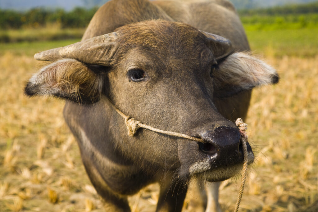
China, Guangxi Zhuang Autonomous Region, Yangshuo County. Domestic Buffalo grazing in an agriculture landscape which is dominated by the Karst peaks of Yangshuo County.
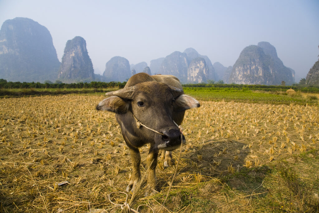
China, Guangxi Zhuang Autonomous Region, Yangshuo County. Domestic Buffalo grazing in an agriculture landscape which is dominated by the Karst peaks of Yangshuo County.
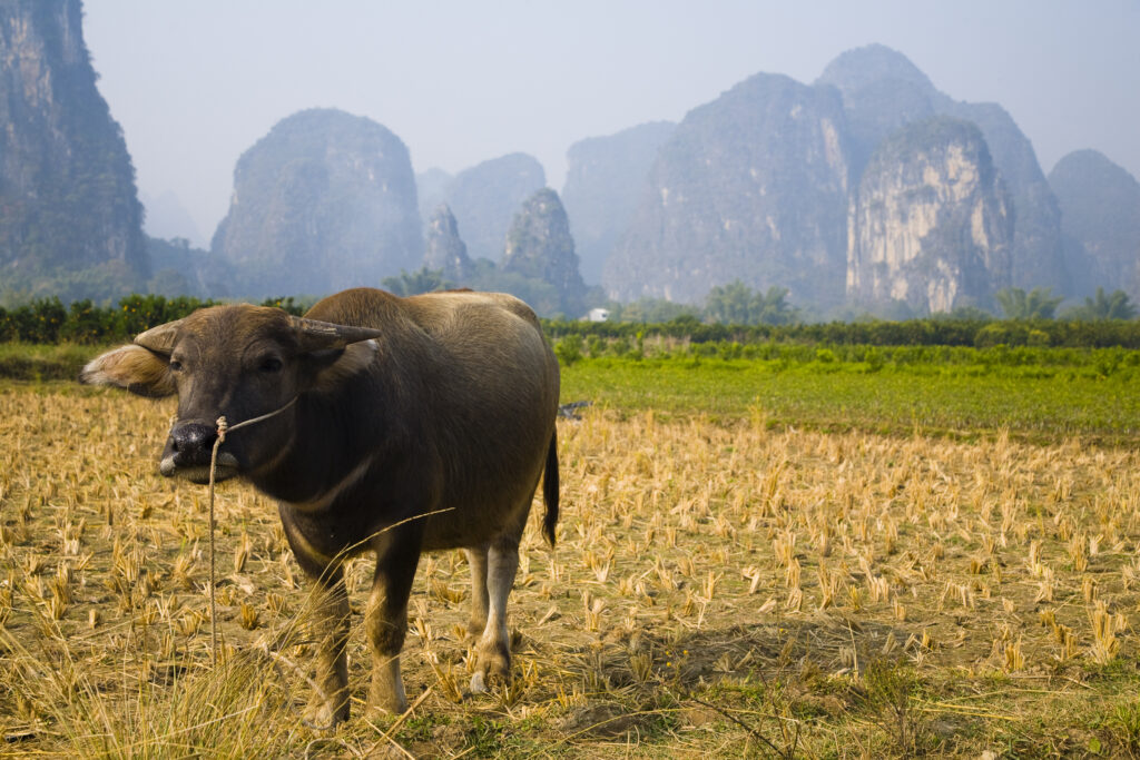
China, Guangxi Zhuang Autonomous Region, Yangshuo County. Domestic Buffalo grazing in an agriculture landscape which is dominated by the Karst peaks of Yangshuo County.
Favourites
Photofeed
