
Your search for “ir” returned 4368 images.
Clear Search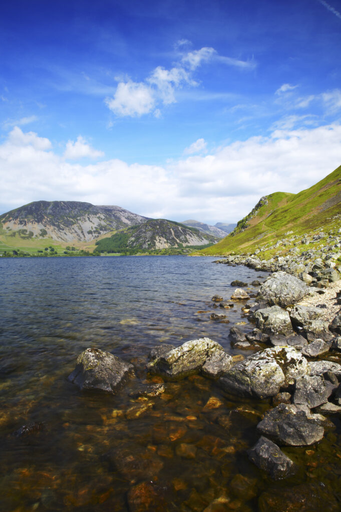
England, Cumbria, Lake District National Park The rocky lake shore of Ennerdale Water in the western region of the Lake District
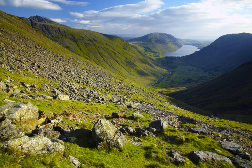
England, Cumbria, Lake District National Park.View from the lower slopes of Great Gable towards wastwater and wasdale
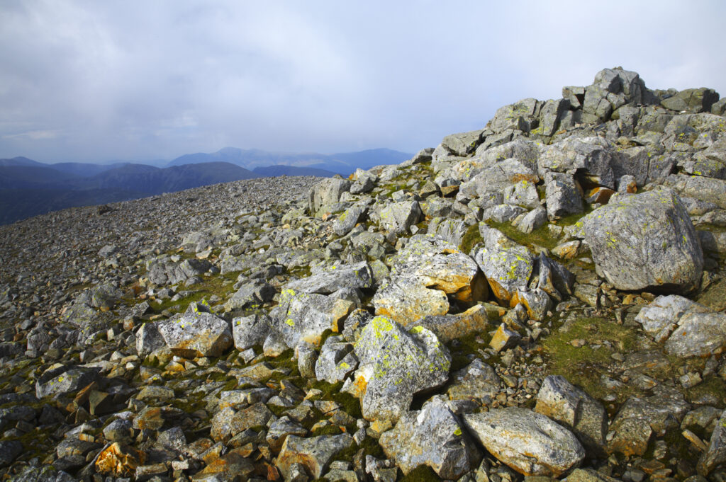
England, Cumbria, Lake District National Park. Cairn on the rocky summit of Great Gable in the Western Lakes
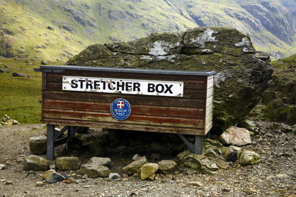
England, Cumbria, Lake District National Park. Mountain rescue stretcher box and rescue post near Great Gable
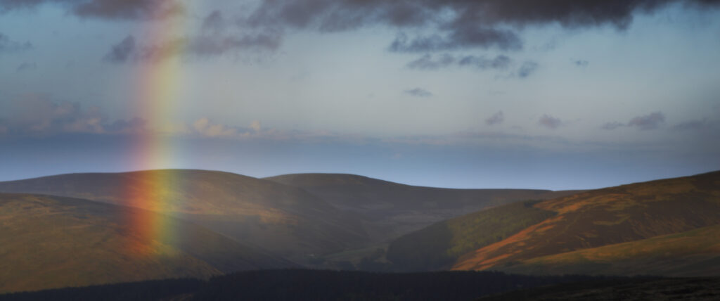
England, Northumberland, The Pennine Way. A rainbow above the Cheviots near the England / Scottish Border.
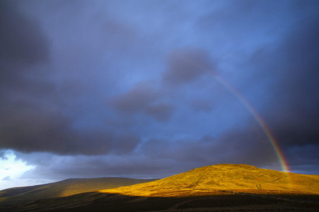
England, Northumberland, The Pennine Way. A rainbow above the Schil on the England / Scottish Border.
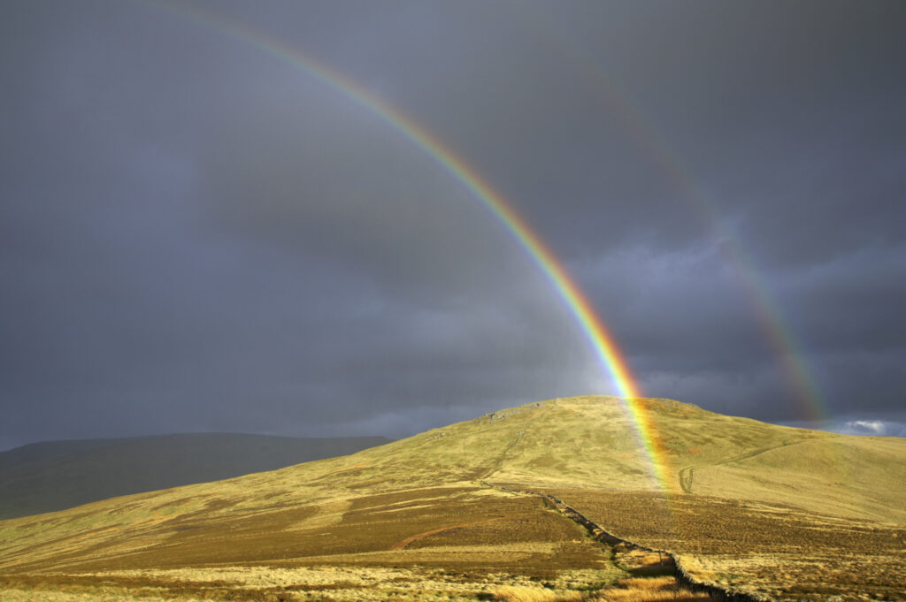
England, Northumberland, The Pennine Way. A rainbow above the Schil on the England / Scottish Border.
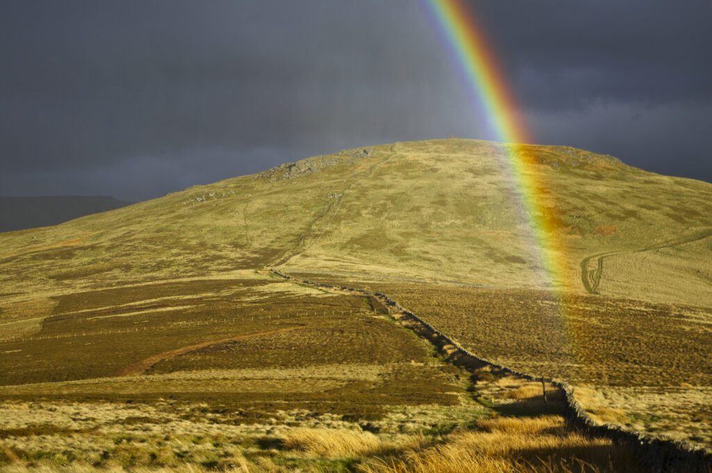
England, Northumberland, The Pennine Way. A rainbow above the Schil on the England / Scottish Border.
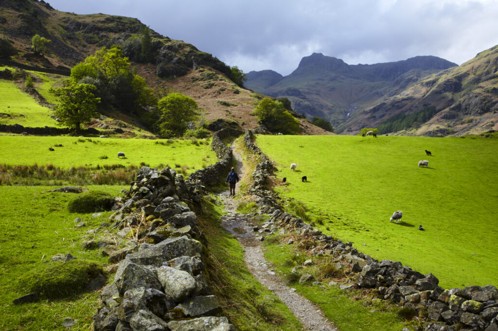
England, Cumbria, Lake District National Park. A hiker walking along the Cumbria Way near Chapel Stile, heading towards Dungeon Ghyll and the Langdale Mountains.
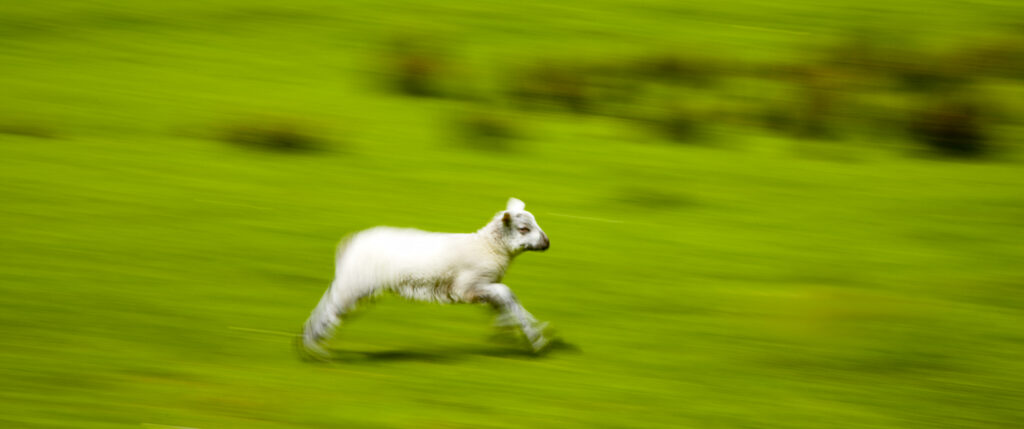
England, Cumbria, The Lake District National Park. A spring lamb running in a field near Dungeon Ghyll
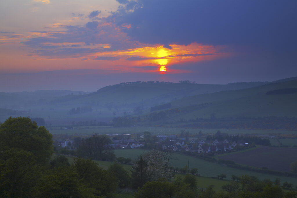
Scotland, Scottish Borders, The Pennine Way. Sunset behind the Scottish Upland Hill near Kirk Yetholm, on the final stretch of the Pennine Way.
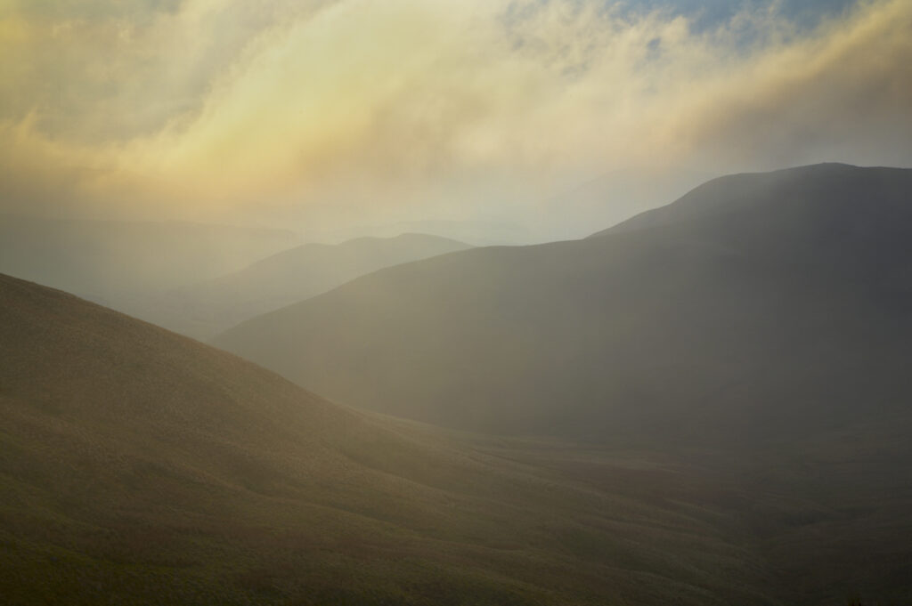
Scotland, Scottish Borders, The Pennine Way. Mist begins to shroud the rolling hills of the Scottish Uplands, viewed from the low level route of the Pennine Way near Kirk Yetholm.
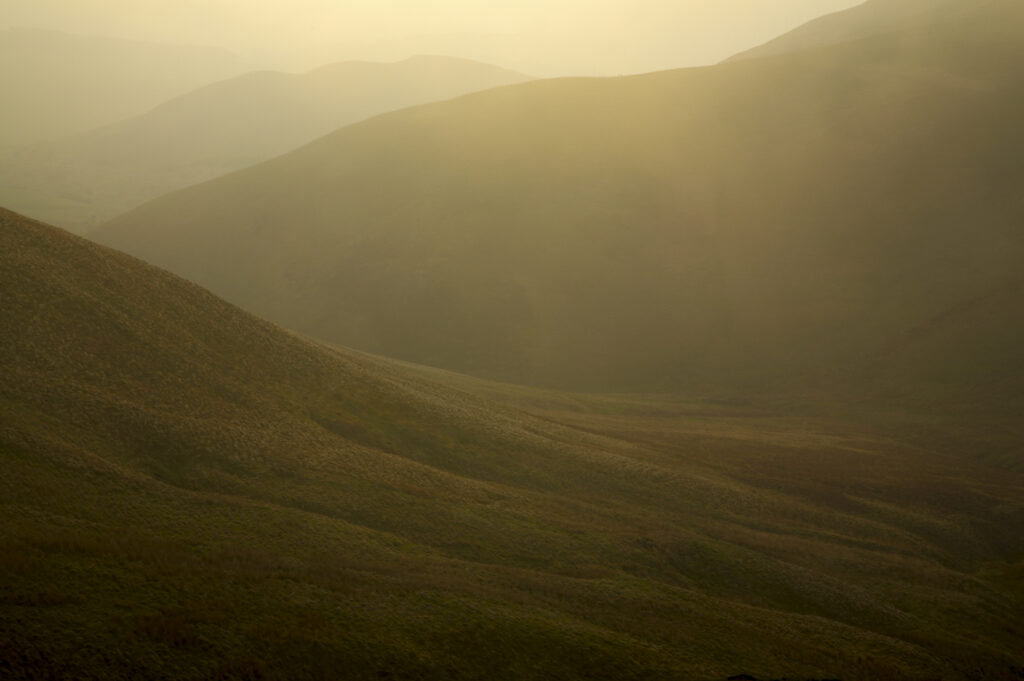
Scotland, Scottish Borders, The Pennine Way. Mist begins to shroud the rolling hills of the Scottish Uplands, viewed from the low level route of the Pennine Way near Kirk Yetholm.
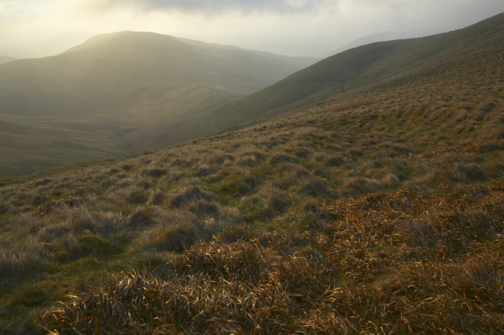
Scotland, Scottish Borders, The Pennine Way. Mist begins to shroud the rolling hills of the Scottish Uplands, viewed from the low level route of the Pennine Way near Kirk Yetholm.
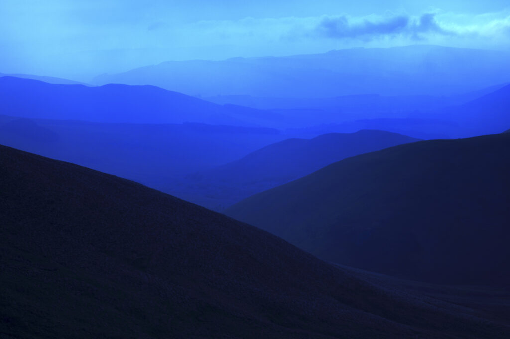
Scotland, Scottish Borders, The Pennine Way. Mist shrouds the rolling hills of the Scottish Uplands, viewed from the low level route of the Pennine Way near Kirk Yetholm.
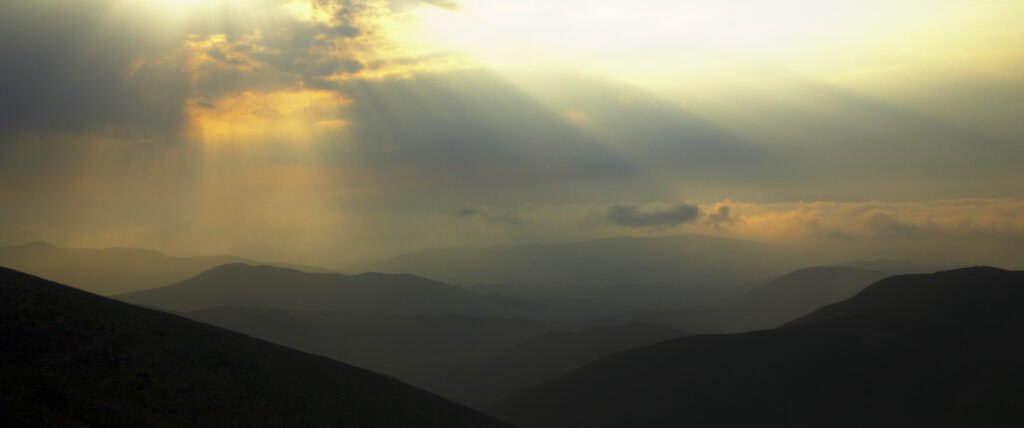
Scotland, Scottish Borders, The Pennine Way. Dramatic light breaking through clouds above the Scottish Uplands, viewed from the low level route of the Pennine Way near Kirk Yetholm.
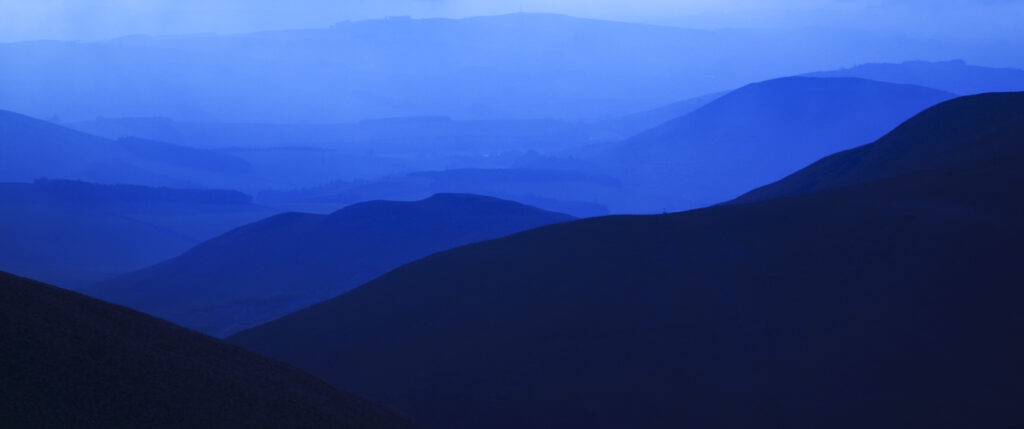
Scotland, Scottish Borders, The Pennine Way. Mist shrouds the rolling hills of the Scottish Uplands, viewed from the low level route of the Pennine Way near Kirk Yetholm.
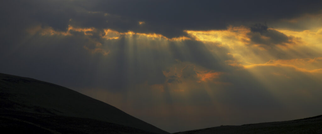
Scotland, Scottish Borders, The Pennine Way. Dramatic light breaking through clouds above the Scottish Uplands, viewed from the low level route of the Pennine Way near Kirk Yetholm.
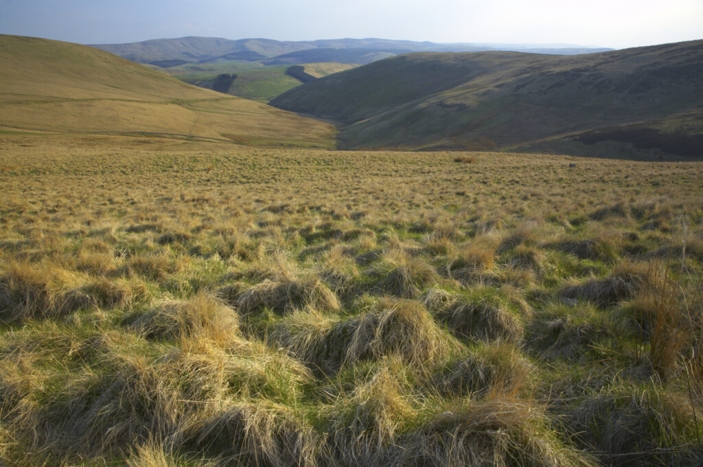
Scotland, Scottish Borders, The Pennine Way. View looking from the Pennine Way on the final leg towards Kirk Yetholm.
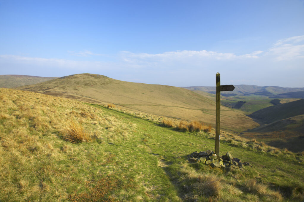
Scotland, Scottish Borders, The Pennine Way. The Pennine Way high level route meets the low level route heading towards Kirk Yetholm, with the Schil in the distance.
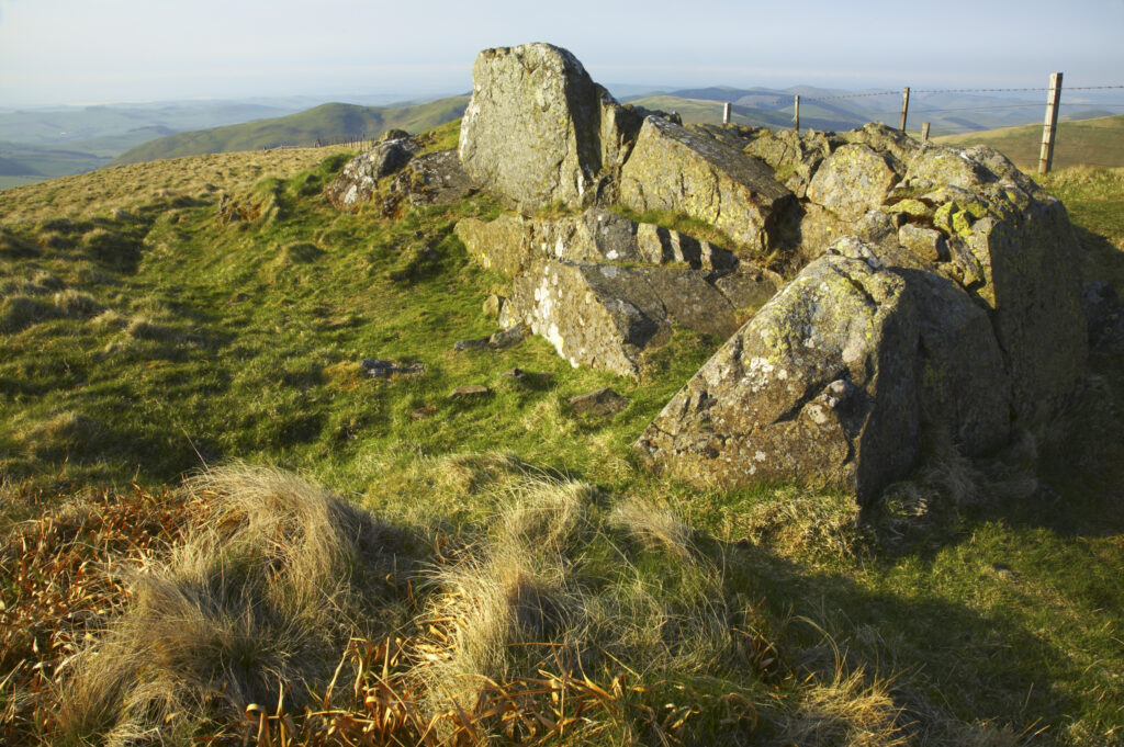
Scotland, Scottish Borders, The Pennine Way. The route of the Pennine Way high level route near Kirk Yetholm, following the double wire fence indicating the English / Scottish border.
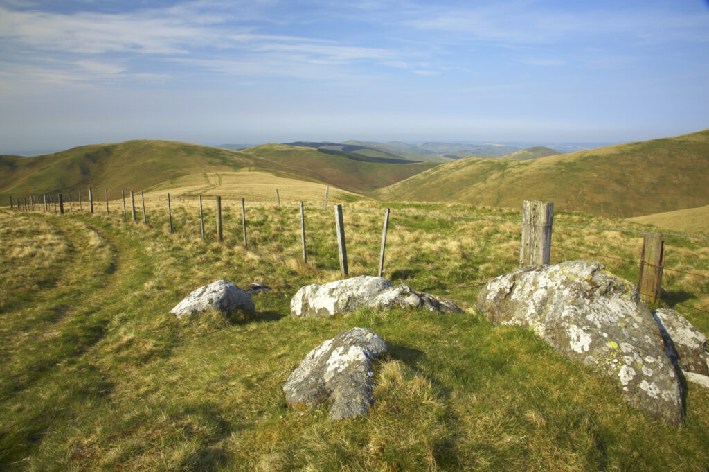
Scotland, Scottish Borders, The Pennine Way. The route of the Pennine Way high level route near Kirk Yetholm, following the double wire fence indicating the English / Scottish border.
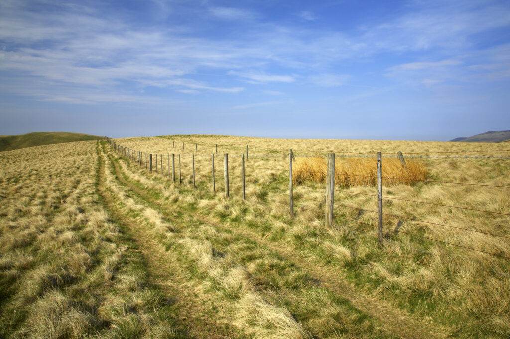
Scotland, Scottish Borders, The Pennine Way. The route of the Pennine Way high level route near Kirk Yetholm, following the double wire fence indicating the English / Scottish border.
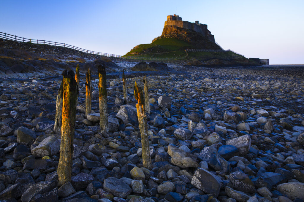
England, Northumberland, Lindisfarne / Holy Island. Lindisfarne Castle (National Trust) located upon Holy Island, part of the Northumberland Heritage Coast.
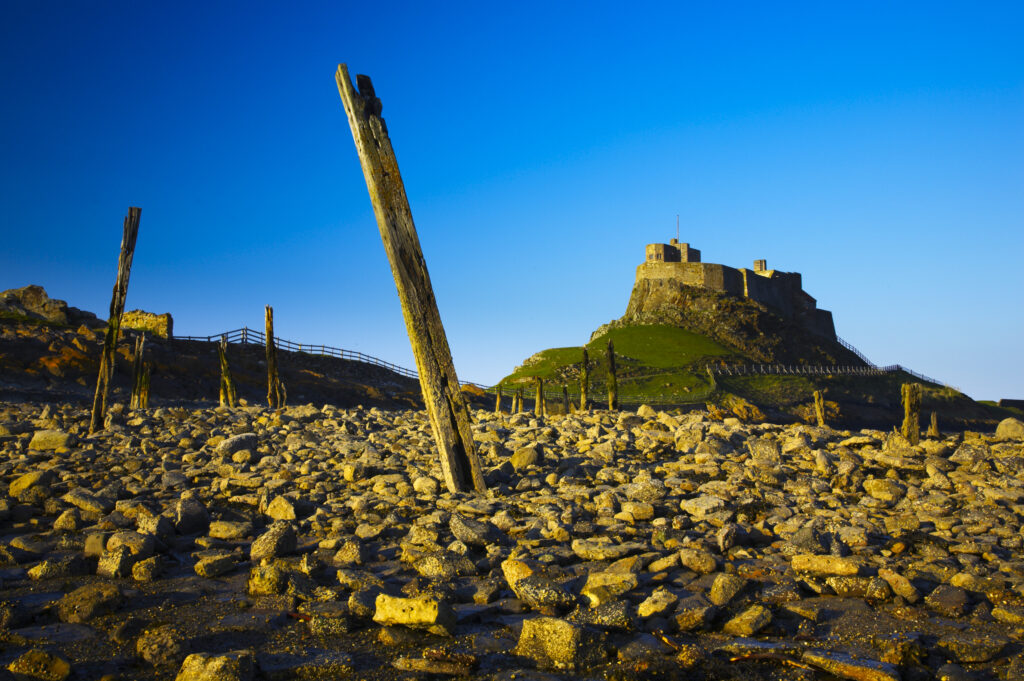
England, Northumberland, Lindisfarne / Holy Island. Lindisfarne Castle (National Trust) located upon Holy Island, part of the Northumberland Heritage Coast.
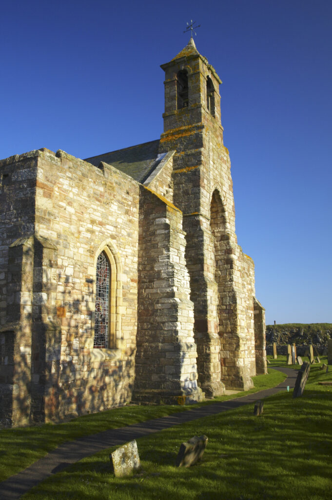
England, Northumberland, Lindisfarne / Holy Island. The church of St Mary the Virgin, located upon Holy Island, part of the Northumberland Heritage Coast.
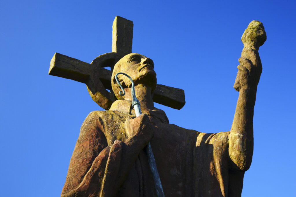
England, Northumberland, Lindisfarne / Holy Island. Statue of St. Aidan in the grounds of the Lindisfarne Priory, located upon Holy Island along the Northumberland Heritage Coast.
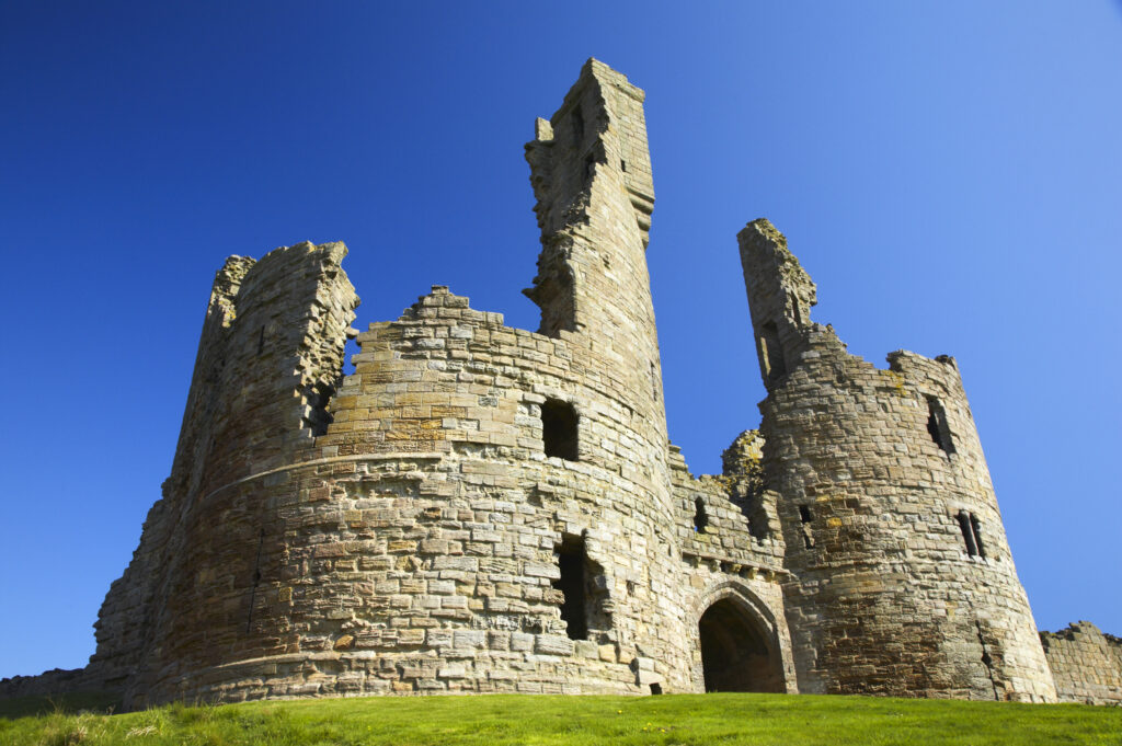
England, Northumberland, Dunstanburgh Castle. The ruins of the impressive Dunstanburgh Castle (National Trust / English Heritage) located along the Northumberland Heritage Coast near Craster.
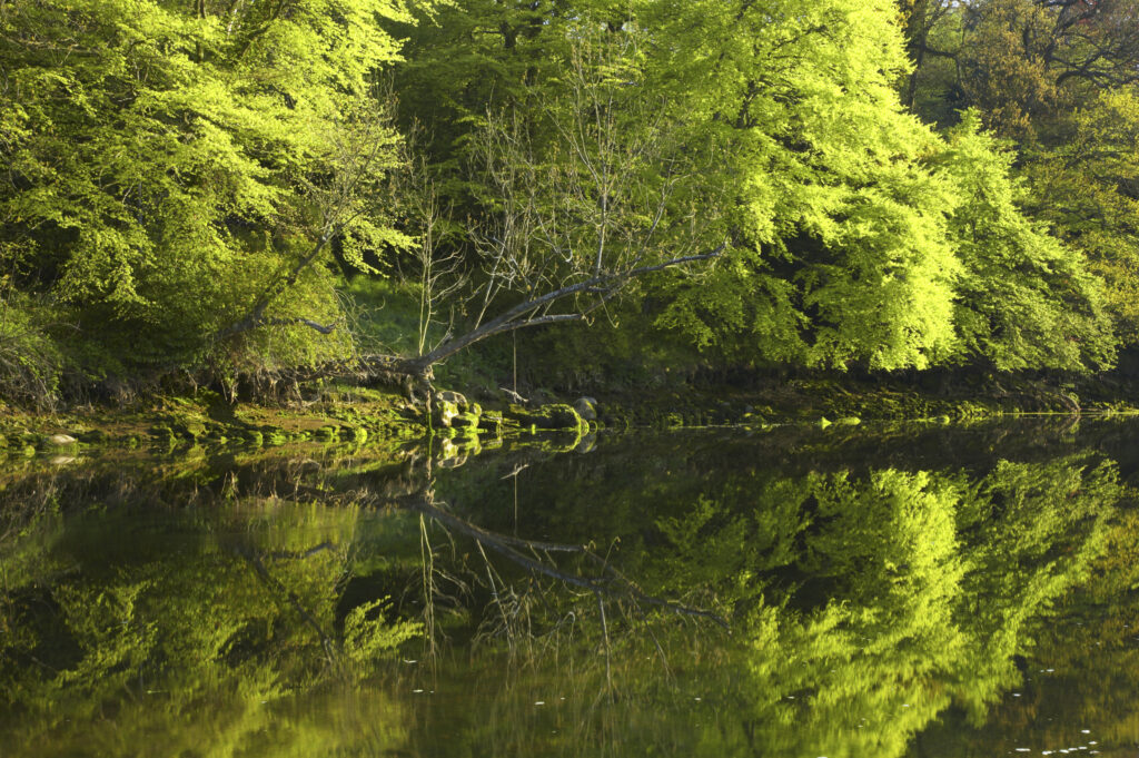
England, Northumberland, Warkworth. Spring foliage, reflected in the still waters of the River Coquet in Warkworth Village, located near the Northumberland Heritage Coast.
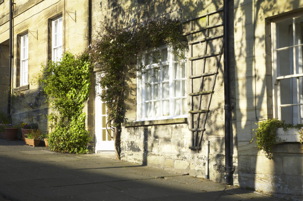
England, Northumberland, Warkworth. A row of terraced houses in Warkworth Village, located near the Northumberland Heritage Coast.
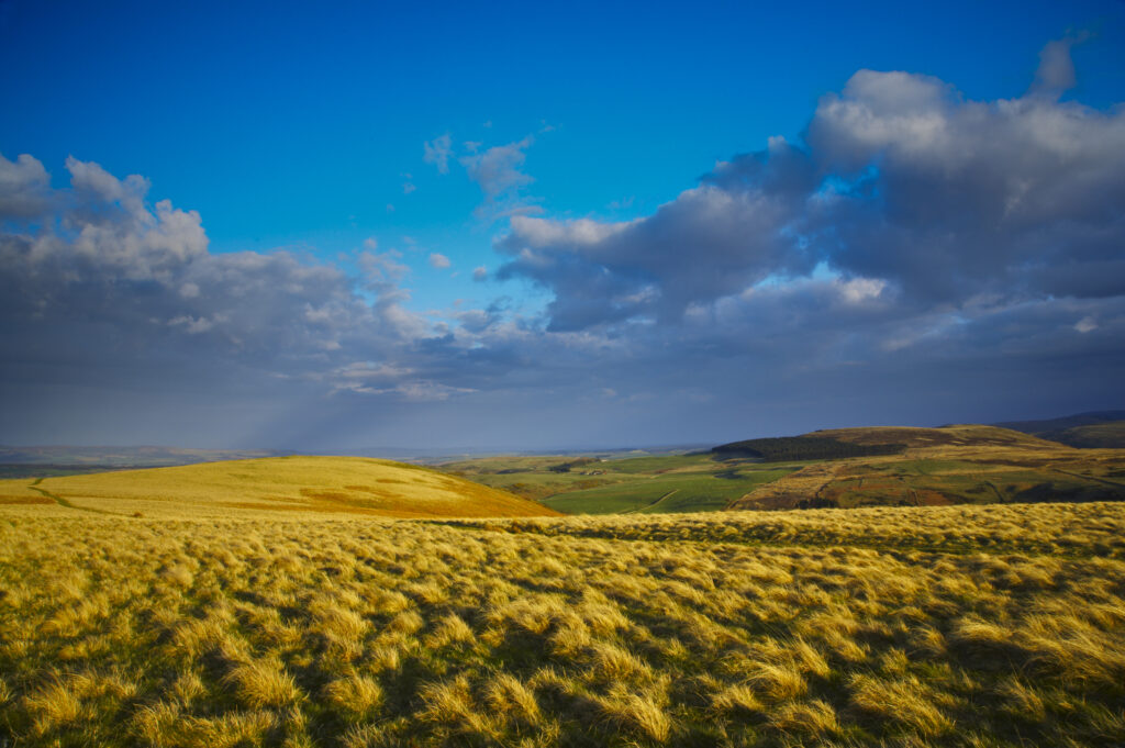
England, Northumberland, Northumberland National Park. The typical landscape encountered on the St Cuthberts way track nr Wooler
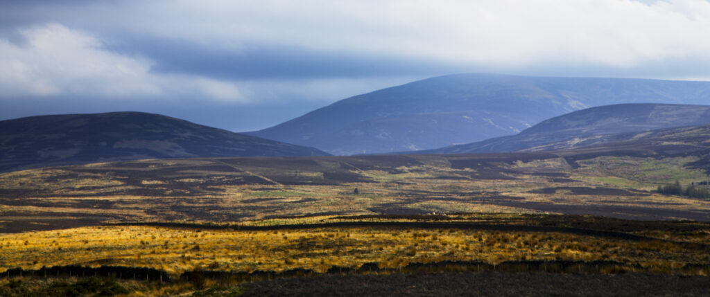
England, Northumberland, Northumberland National Park. The Cheviot and other typical landscape encountered on the St Cuthberts way track nr Wooler
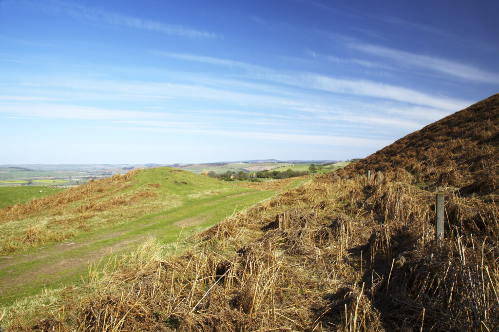
England, Northumberland, Northumberland National Park. Public footpath running through typical Northumberland scenery near Wooler
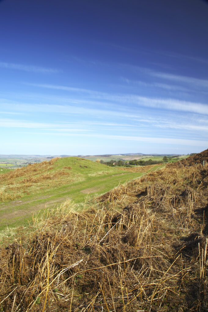
England, Northumberland, Northumberland National Park. Public footpath running through typical Northumberland scenery near Wooler
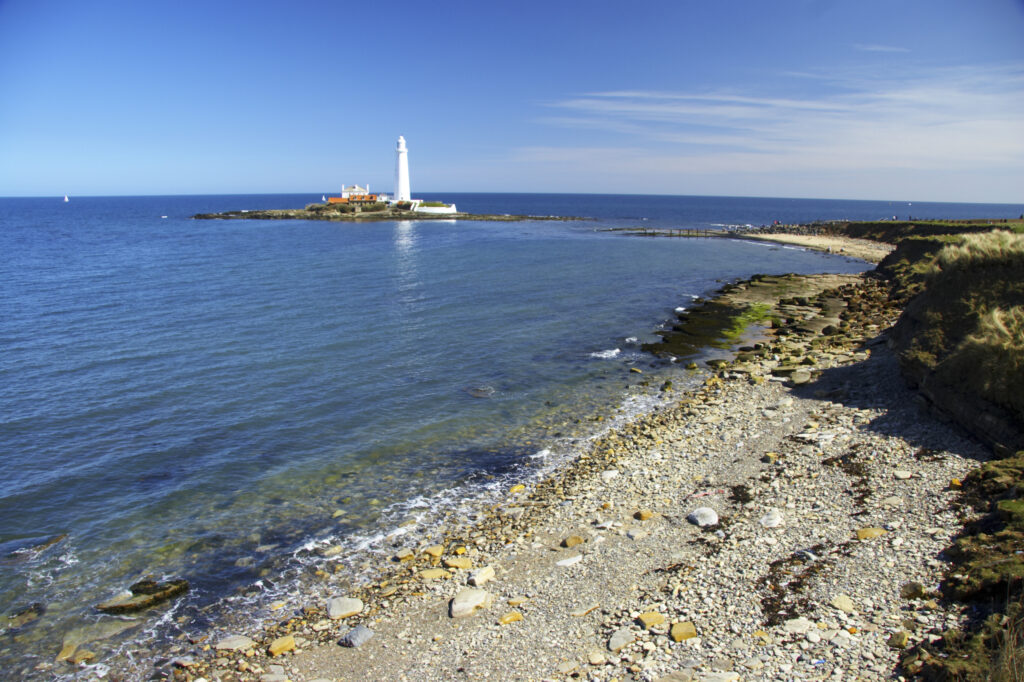
ENGLAND Tyne Wear St Marys Island The lighthouse and the North Sea near Whitley Bay
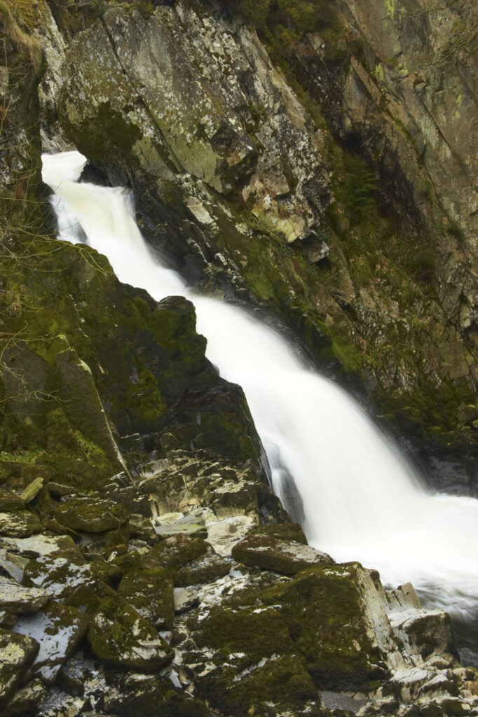
Wales, Caernarfonshire, Snowdonia National Park. The fast flowing waters of the Conwy Falls.
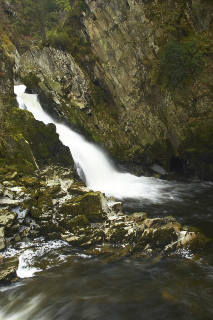
Wales, Caernarfonshire, Snowdonia National Park. The fast flowing waters of the Conwy Falls.
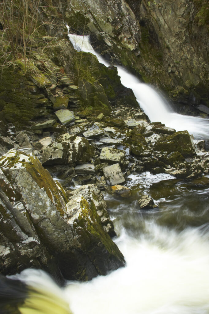
Wales, Caernarfonshire, Snowdonia National Park. The fast flowing waters of the Conwy Falls.
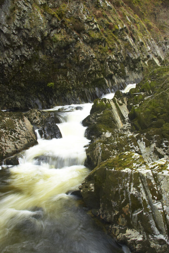
Wales, Caernarfonshire, Snowdonia National Park. The fast flowing waters of the Conwy Falls.
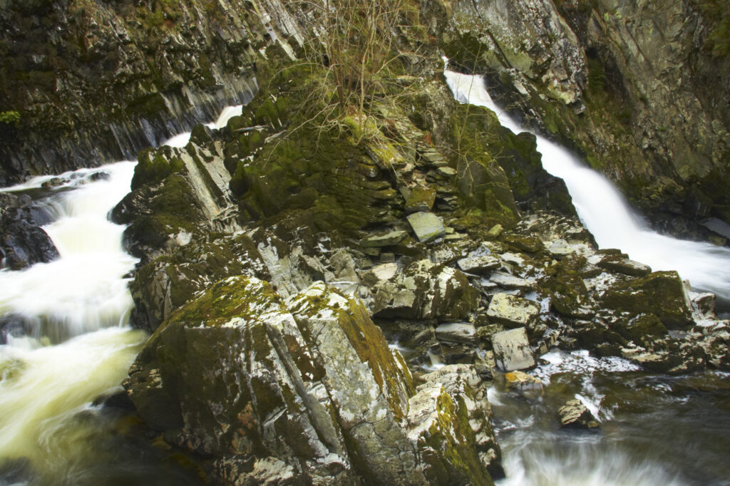
Wales, Caernarfonshire, Snowdonia National Park. The fast flowing waters of the Conwy Falls.
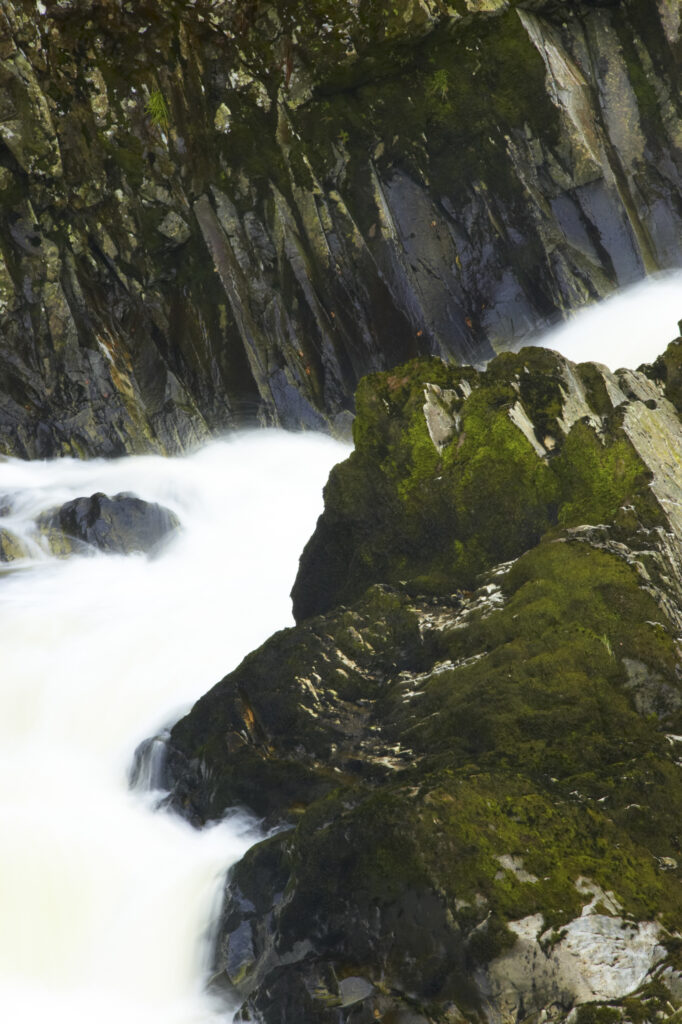
Wales, Caernarfonshire, Snowdonia National Park. The fast flowing waters of the Conwy Falls.
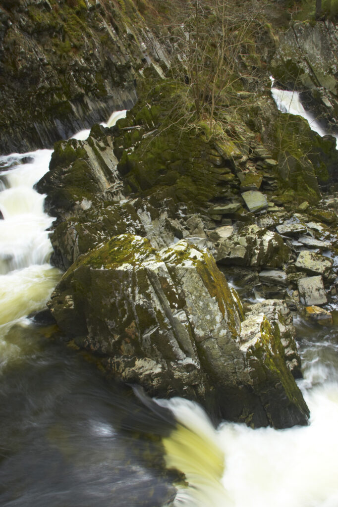
Wales, Caernarfonshire, Snowdonia National Park. The fast flowing waters of the Conwy Falls.
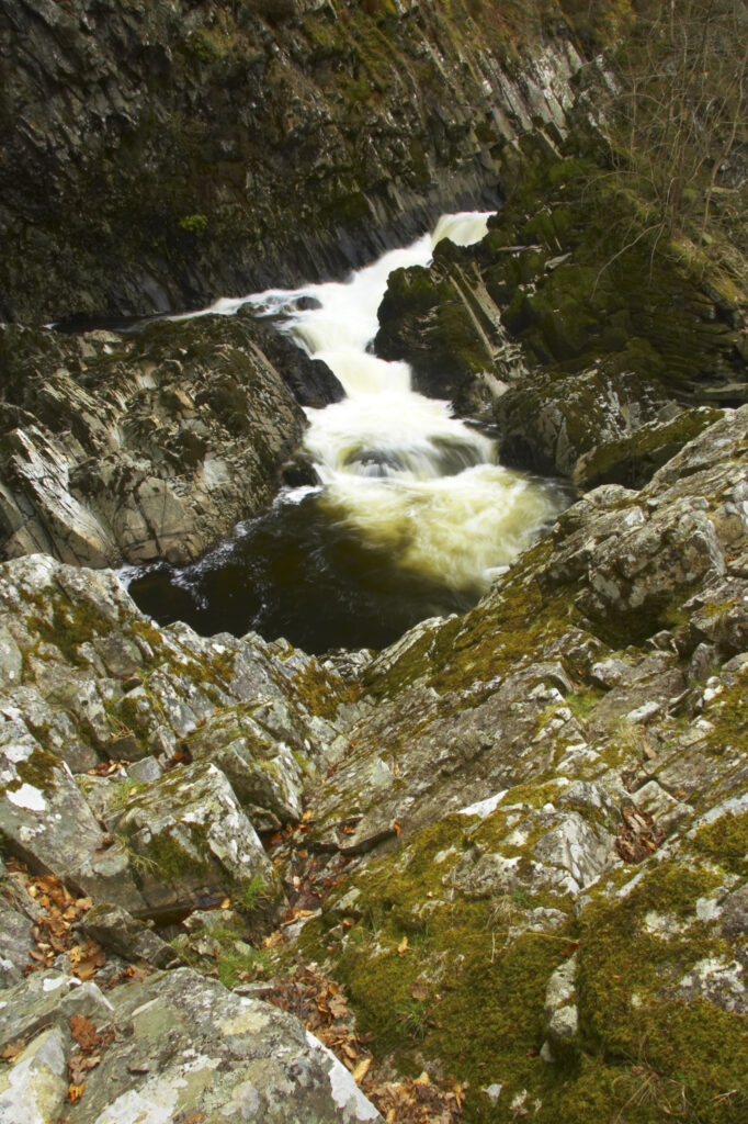
Wales, Caernarfonshire, Snowdonia National Park. The fast flowing waters of the Conwy Falls.
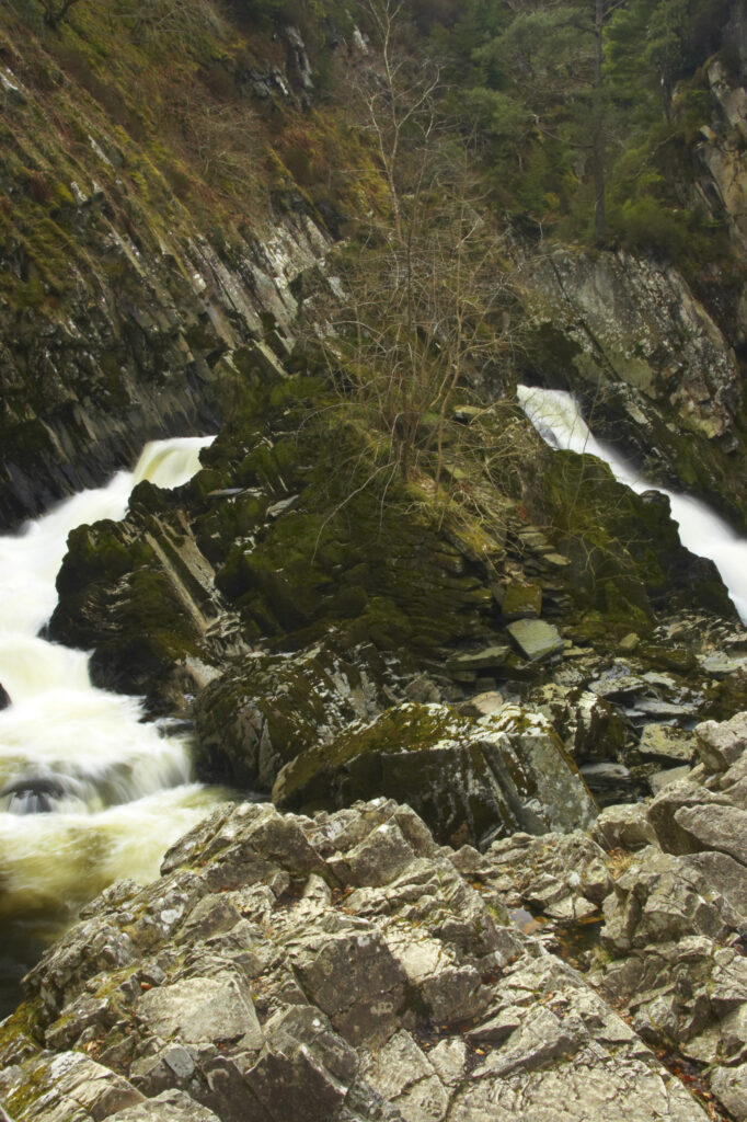
Wales, Caernarfonshire, Snowdonia National Park. The fast flowing waters of the Conwy Falls.
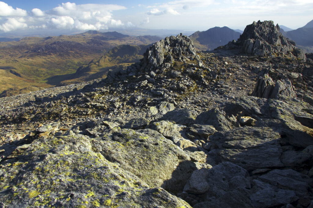
Wales, Caernarfonshire, Snowdonia National Park. Amazing rock formations located near the summit of Glyder Fawr.
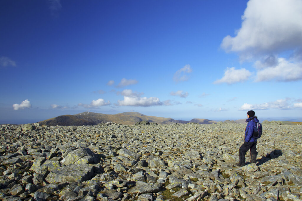
Wales, Caernarfonshire, Snowdonia National Park. Hiker on a plateau near the summit of Glyder Fawr.
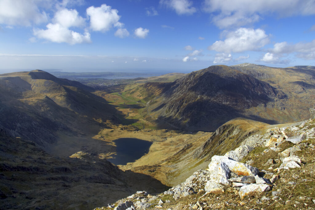
Wales, Caernarfonshire, Snowdonia National Park. The dramatic landscape of the Ogwen Valley, viewed from the lower slopes of Glyder Fawr.
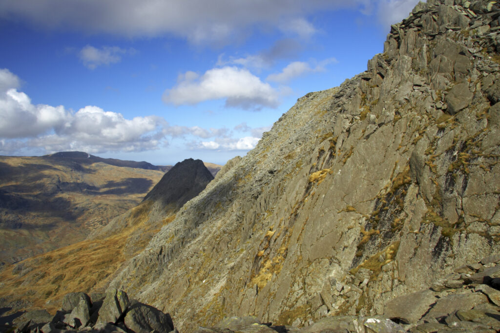
Wales, Caernarfonshire, Snowdonia National Park. The dramatic landscape surrounding the mountain peak of Tryfan, viewed from the lower slopes of Glyder Fawr.
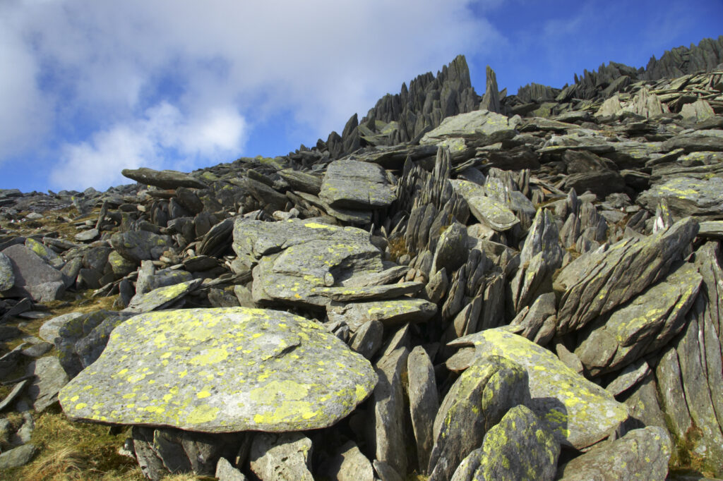
Wales, Caernarfonshire, Snowdonia National Park. A dramatic example of the geology to be found near the summit of the Glyder Fach mountain.
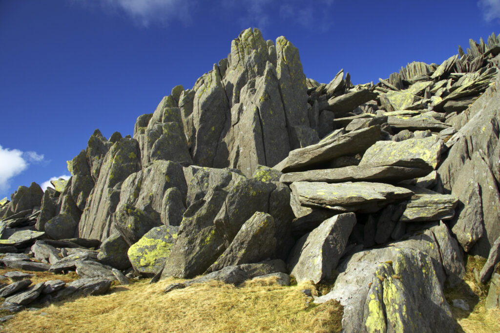
Wales, Caernarfonshire, Snowdonia National Park. A dramatic example of the geology to be found near the summit of the Glyder Fach mountain.
Favourites
Photofeed
