
Your search for “County” returned 445 images.
Clear Search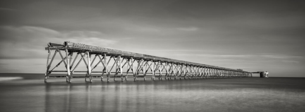
England, County Durham, Steetley Pier. Located near Hartlepool, Steetley Pier is a 2,000 foot long pier built in the 1960's to pipe sea water for the magnesia treatment works.
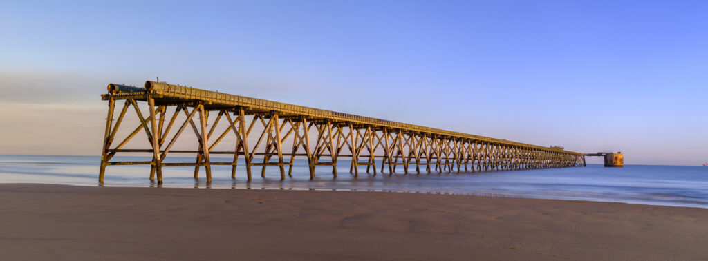
England, County Durham, Steetley Pier. Located near Hartlepool, Steetley Pier is a 2,000 foot long pier built in the 1960's to pipe sea water for the magnesia treatment works.
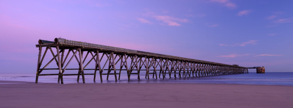
England, County Durham, Steetley Pier. Located near Hartlepool, Steetley Pier is a 2,000 foot long pier built in the 1960's to pipe sea water for the magnesia treatment works.
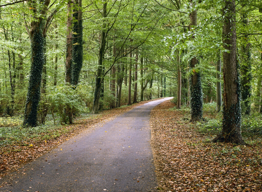
England, County Durham, Staindrop. Autumn colours in woodland near Staindrop which belongs to the Raby Castle & Estate.
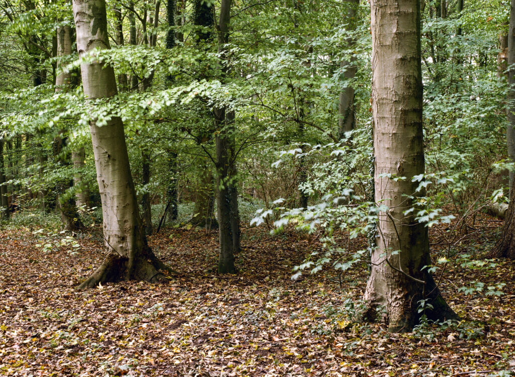
England, County Durham, Staindrop. Autumn colours in woodland near Staindrop which belongs to the Raby Castle & Estate.
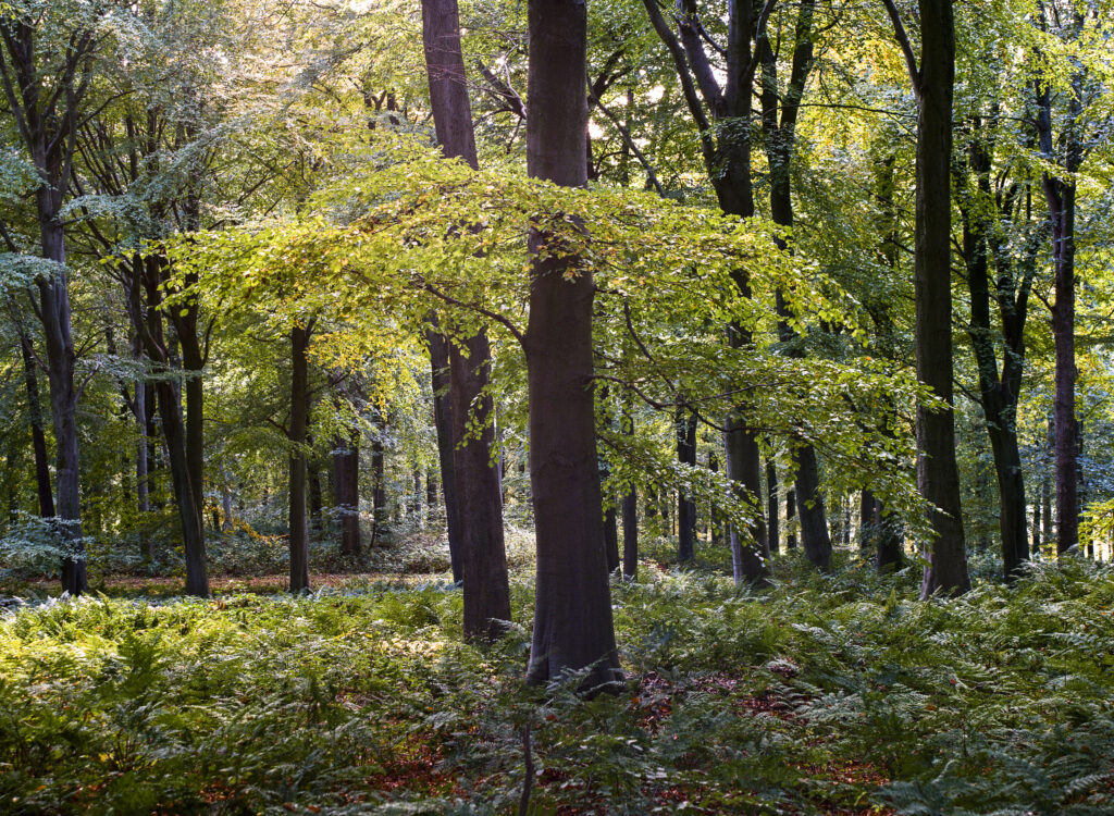
England, County Durham, Staindrop. Autumn colours in North Wood, woodland belonging to the Raby Castle & Estate.
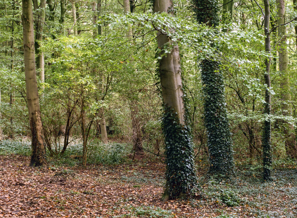
England, County Durham, Staindrop. Autumn colours in woodland near Staindrop which belongs to the Raby Castle & Estate.
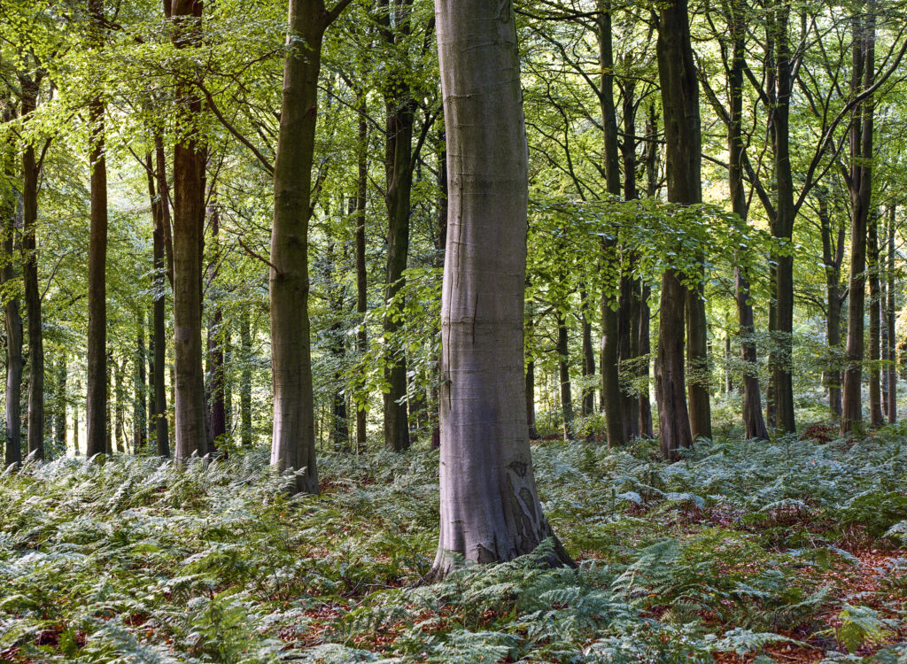
England, County Durham, Staindrop. Autumn colours in North Wood, woodland belonging to the Raby Castle & Estate.
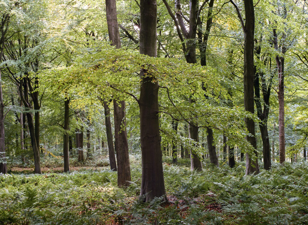
England, County Durham, Staindrop. Autumn colours in North Wood, woodland belonging to the Raby Castle & Estate.
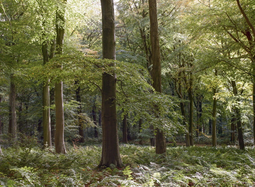
England, County Durham, Staindrop. Autumn colours in North Wood, woodland belonging to the Raby Castle & Estate.
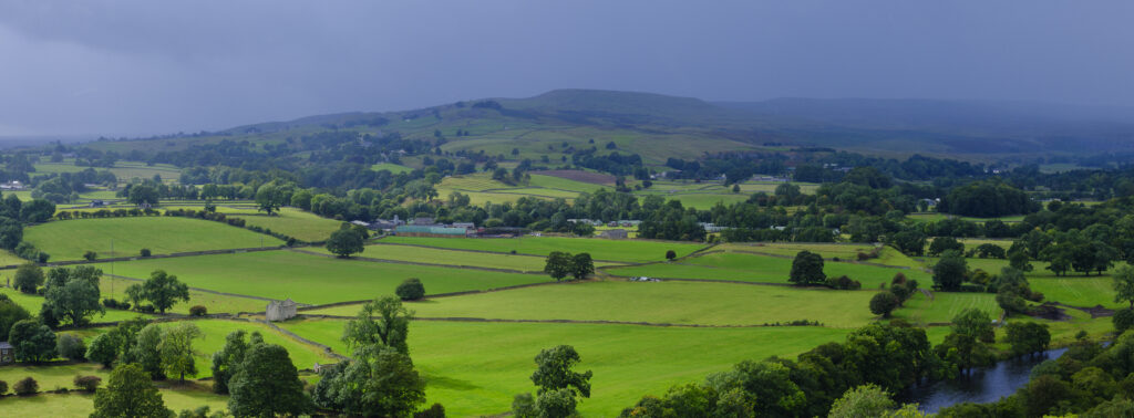
England, County Durham, North Pennines National Landscape. View across Teesdale from Whistle Crag, near Middleton-in-Teesdale.
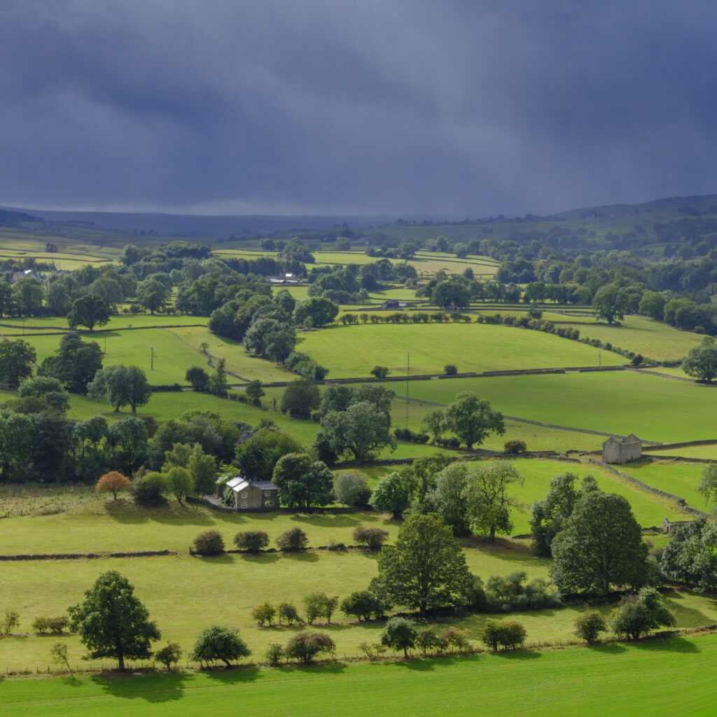
England, County Durham, North Pennines National Landscape. View across Teesdale from Whistle Crag, near Middleton-in-Teesdale.
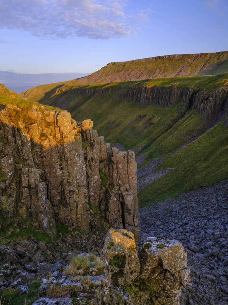
England, Cumbria, High Cup Nick. High Cup Gill — also known as High Cup Nick — is a strikingly symmetrical U-shaped valley carved deep into the Pennine escarpment near Appleby-in-Westmorland, Cumbria, within the North Pennines Area of Outstanding Natural Beauty.
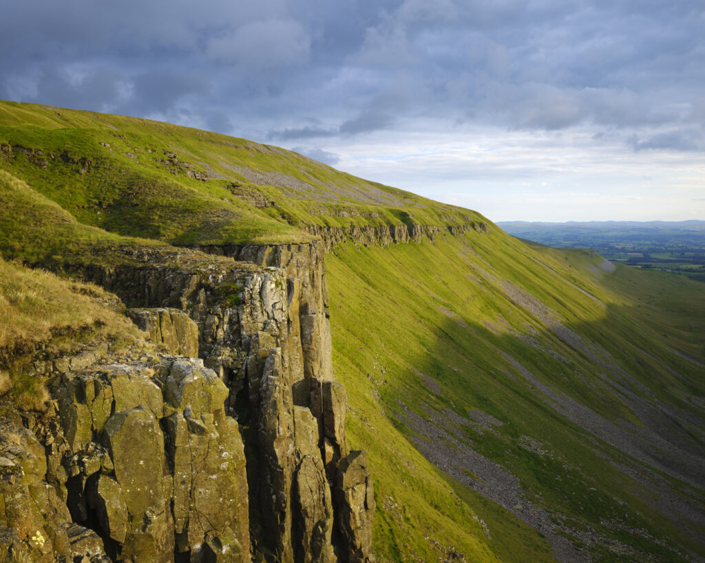
England, Cumbria, High Cup Nick. High Cup Gill — also known as High Cup Nick — is a strikingly symmetrical U-shaped valley carved deep into the Pennine escarpment near Appleby-in-Westmorland, Cumbria, within the North Pennines Area of Outstanding Natural Beauty.
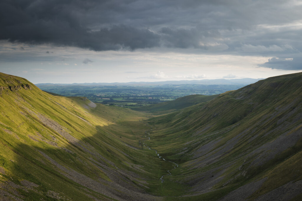
England, Cumbria, High Cup Nick. High Cup Gill — also known as High Cup Nick — is a strikingly symmetrical U-shaped valley carved deep into the Pennine escarpment near Appleby-in-Westmorland, Cumbria, within the North Pennines Area of Outstanding Natural Beauty.
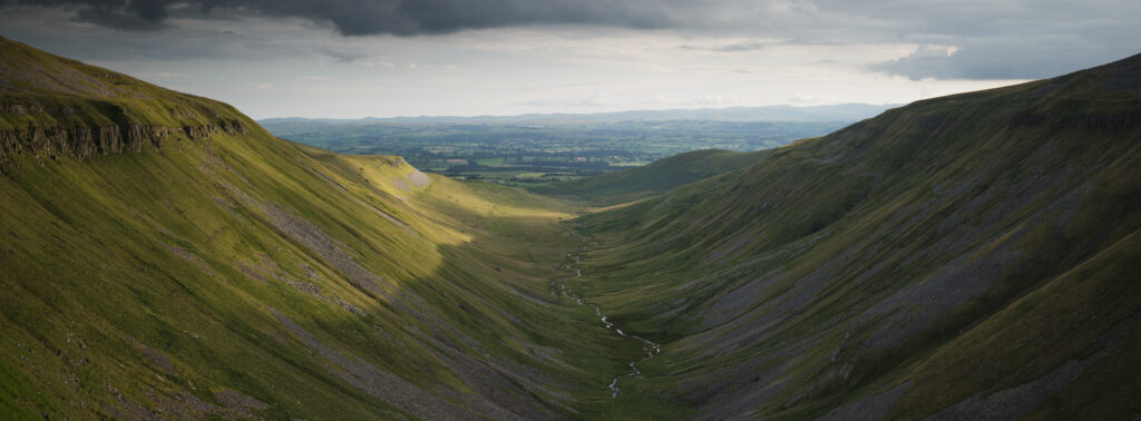
England, Cumbria, High Cup Nick. High Cup Gill — also known as High Cup Nick — is a strikingly symmetrical U-shaped valley carved deep into the Pennine escarpment near Appleby-in-Westmorland, Cumbria, within the North Pennines Area of Outstanding Natural Beauty.
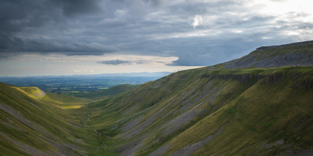
England, Cumbria, High Cup Nick. High Cup Gill — also known as High Cup Nick — is a strikingly symmetrical U-shaped valley carved deep into the Pennine escarpment near Appleby-in-Westmorland, Cumbria, within the North Pennines Area of Outstanding Natural Beauty.
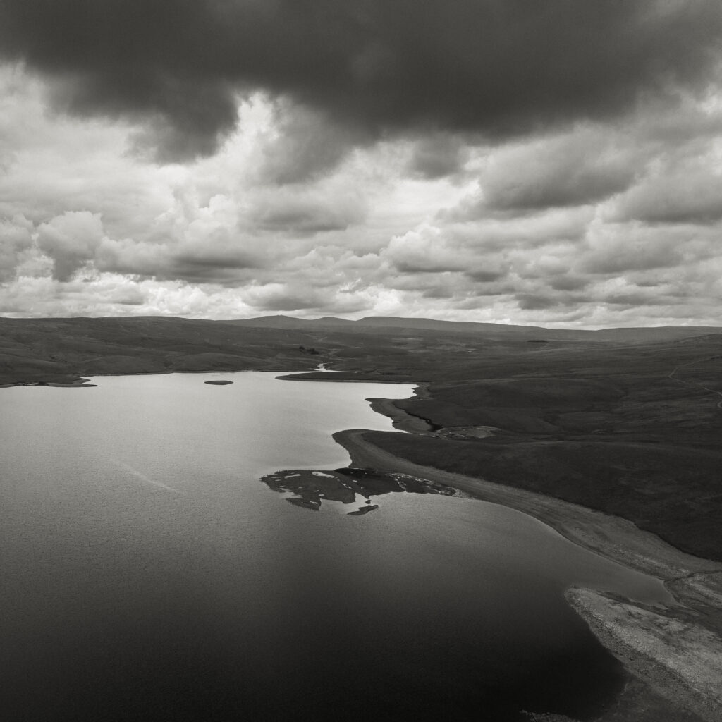
England, County Durham, Cow Green Reservoir. Aerial photo of Cow Green Reservoir, built to supply water to the industries of Teesside.
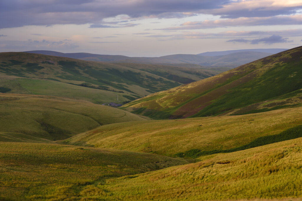
England, Northumberland, Northumberland National Park. Evening light illuminates the rolling hills of Upper Coquetdale in Northumberland National Park.
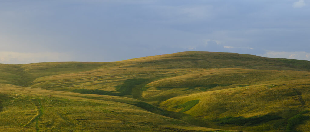
England, Northumberland, Northumberland National Park. Evening light illuminates the rolling hills of Upper Coquetdale in Northumberland National Park.
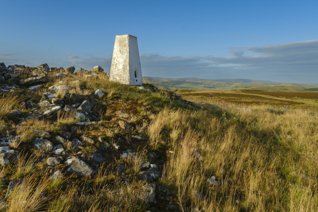
England, Northumberland, Northumberland National Park. Ridlees Cairn located in the Otterburn Ranges towards the western end of Upper Coquetdale.
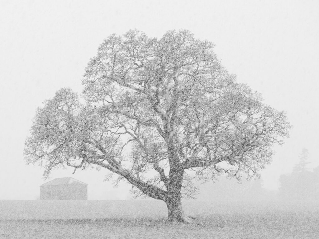
England, County Durham, Barnard Castle. A spring snowfall creates blizzard like conditions on farm land near Barnard Castle.
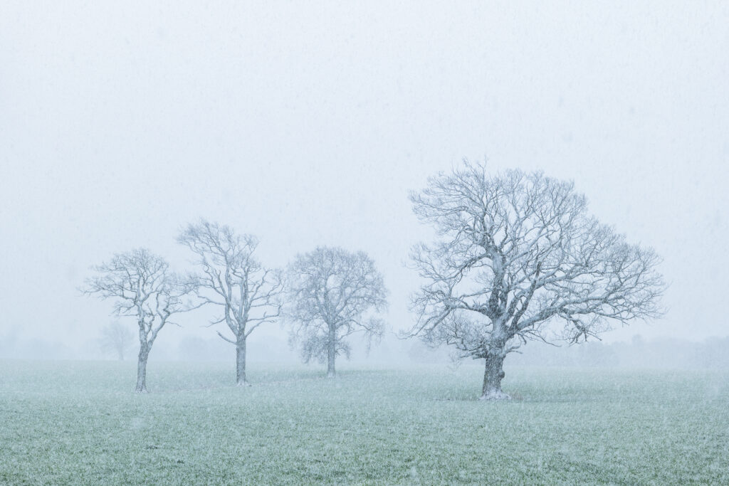
England, County Durham, Barnard Castle. A spring snowfall creates blizzard like conditions on farm land near Barnard Castle.
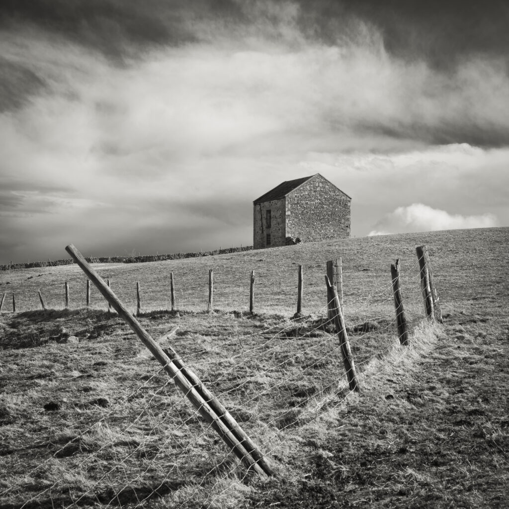
England, County Durham, Tees Dale. Farm building in a sheep field near to Bowlees.
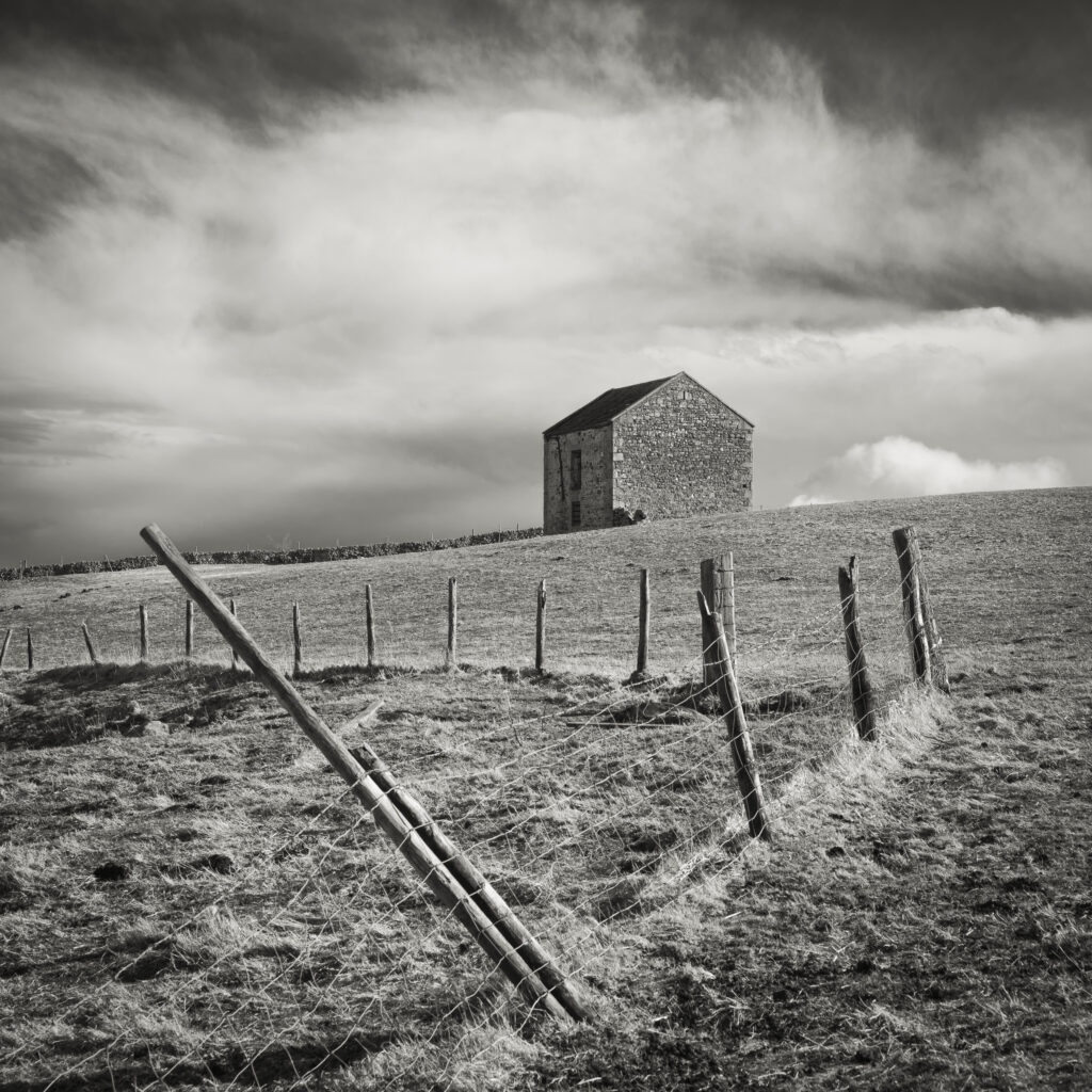
England, County Durham, Tees Dale. Farm building in a sheep field near to Bowlees.
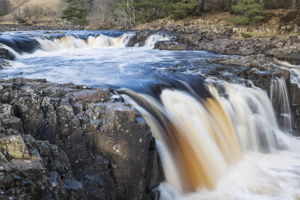
England, County Durham, Low Force. The River Tees cascades down the Low Force waterfall in County Durham.
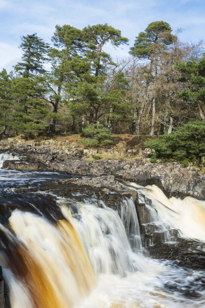
England, County Durham, Low Force. The River Tees cascades down the Low Force waterfall in County Durham.
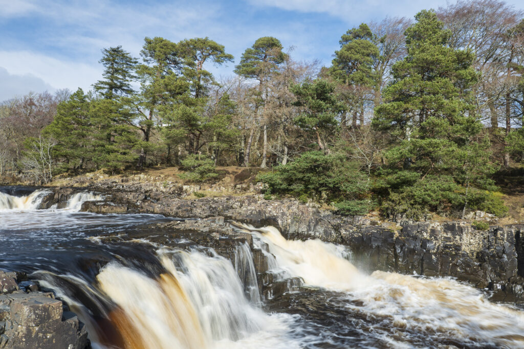
England, County Durham, Low Force. The River Tees cascades down the Low Force waterfall in County Durham.
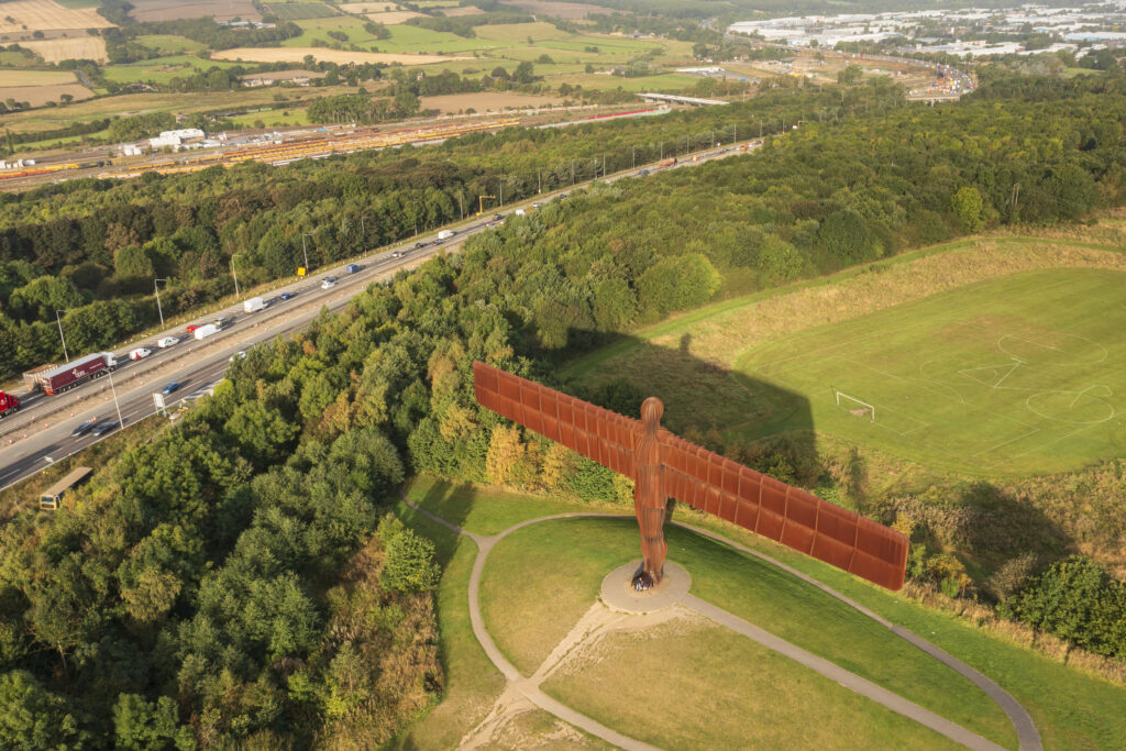
England, Tyne and Wear, Gateshead. Aerial (drone) view of the iconic Angel of the North statue by Antony Gormley. The 'Angel', built on a a former colliery pit head bath site, is one of the worlds most viewed work of art with over 33 million viewers each year.
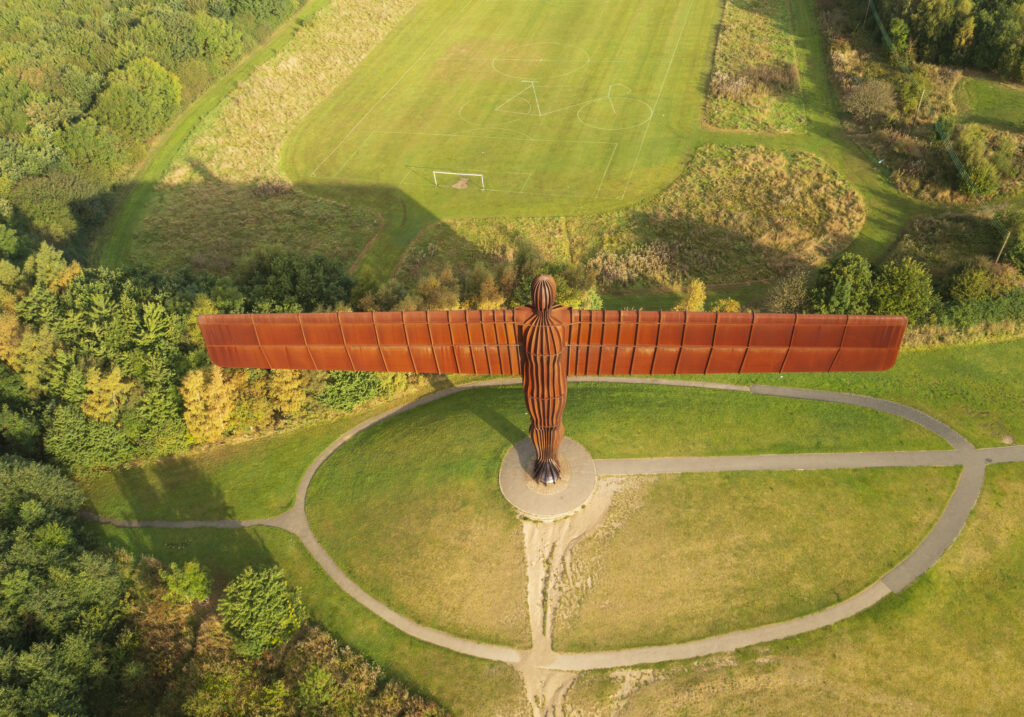
England, Tyne and Wear, Gateshead. Aerial (drone) view of the iconic Angel of the North statue by Antony Gormley. The 'Angel', built on a a former colliery pit head bath site, is one of the worlds most viewed work of art with over 33 million viewers each year.
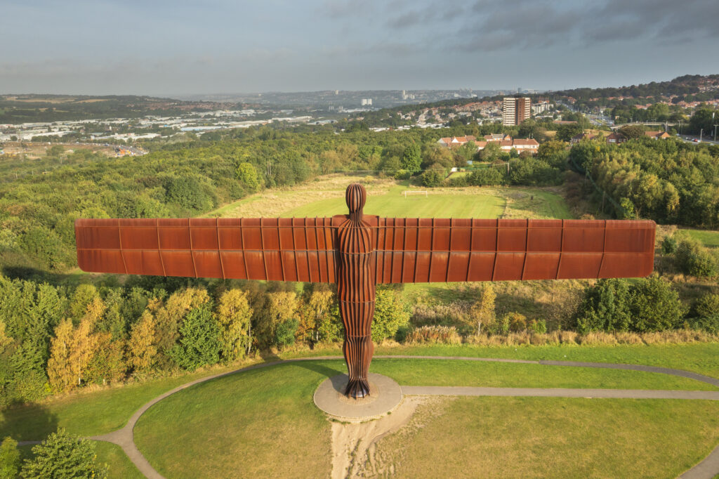
England, Tyne and Wear, Gateshead. Aerial (drone) view of the iconic Angel of the North statue by Antony Gormley. The 'Angel', built on a a former colliery pit head bath site, is one of the worlds most viewed work of art with over 33 million viewers each year.
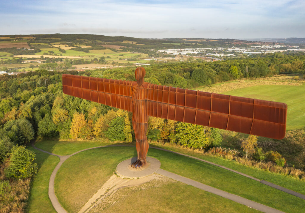
England, Tyne and Wear, Gateshead. Aerial (drone) view of the iconic Angel of the North statue by Antony Gormley. The 'Angel', built on a a former colliery pit head bath site, is one of the worlds most viewed work of art with over 33 million viewers each year.
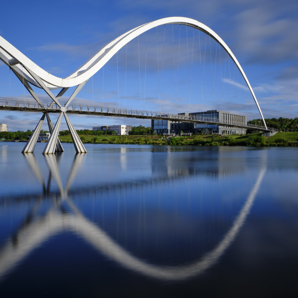
England, County Durham, Stockton-on-Tees. The Infinity Bridge, a public pedestrian and cycle footbridge across the River Tees.
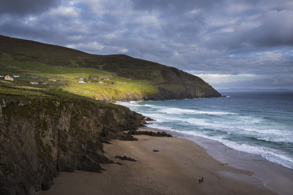
Republic of Ireland, County Kerry, Slea Head. Dramatic light near Slea Head Beach on the Wild Atlantic Way.
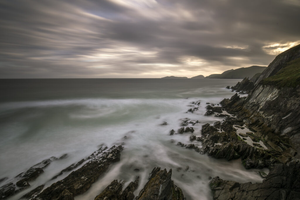
Republic of Ireland, County Kerry, Slea Head. Dramatic light near Slea Head Beach on the Wild Atlantic Way.
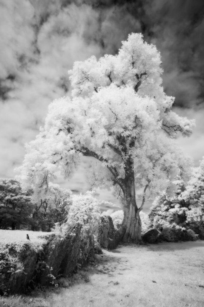
Grange Stone Circle, County Limerick. This image was photographed for the Legacy project, a fascinating not-for-profit endeavour to capture the mystifying stone remains of prehistoric sites scattered across the British Isles. Please visit www.thelegacyproject.org.uk for more information.
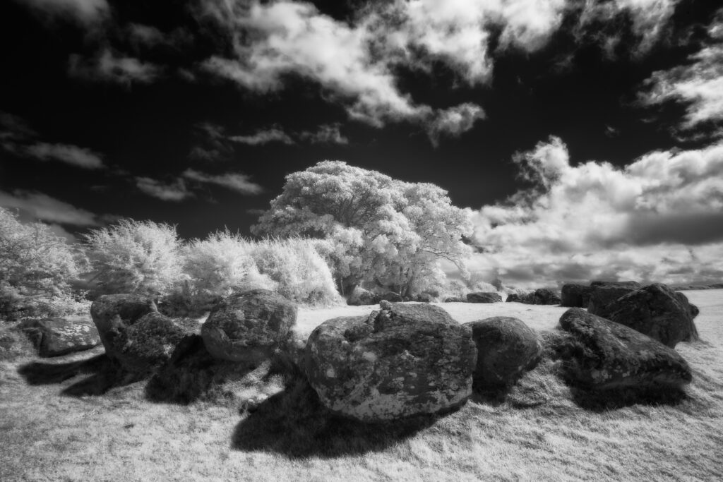
Carrowmore Megalithic Cemetery, County Sligo. This image was photographed for the Legacy project, a fascinating not-for-profit endeavour to capture the mystifying stone remains of prehistoric sites scattered across the British Isles. Please visit www.thelegacyproject.org.uk for more information.
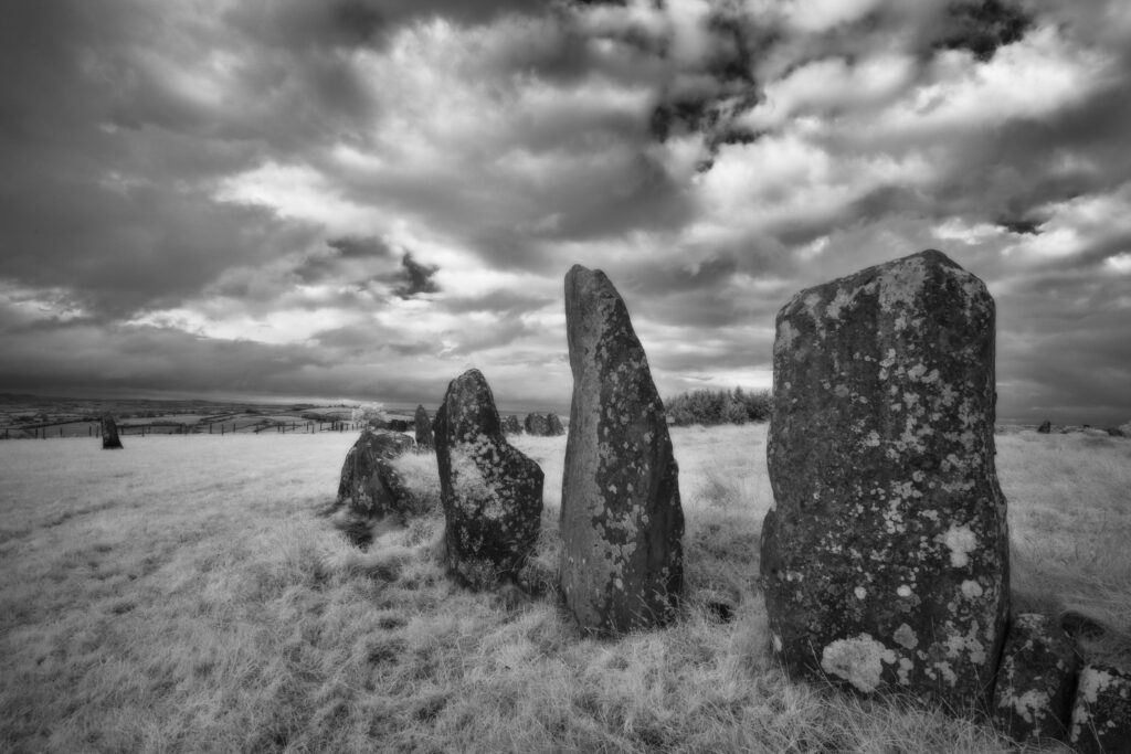
Beltany Stone Circle, County Donegal. This image was photographed for the Legacy project, a fascinating not-for-profit endeavour to capture the mystifying stone remains of prehistoric sites scattered across the British Isles. Please visit www.thelegacyproject.org.uk for more information.
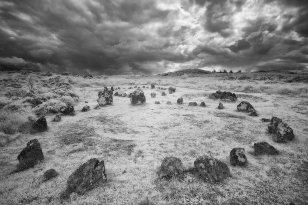
Beaghmore Stone Circle, County Tyrone. This image was photographed for the Legacy project, a fascinating not-for-profit endeavour to capture the mystifying stone remains of prehistoric sites scattered across the British Isles. Please visit www.thelegacyproject.org.uk for more information.
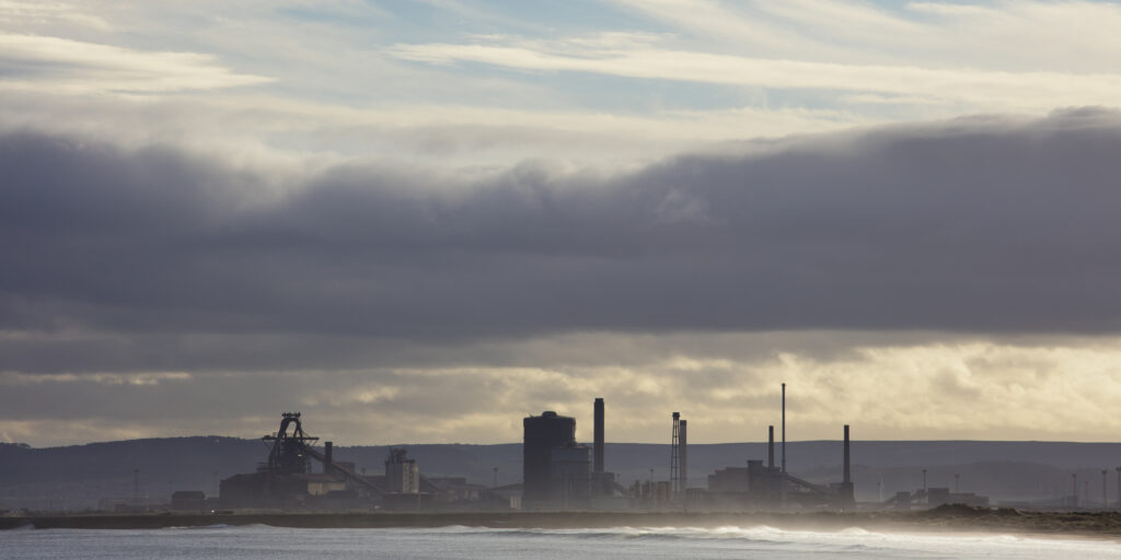
England, County Durham, Seaton Carew. The Teeside Redcar Steel Works viewd from Seaton Carew.
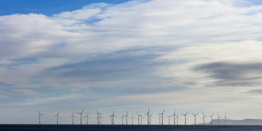
England, County Durham, Teesside Offshore Windfarm. The north sea situated wind turbines of the Teesside Offshore Windfarm viewd from Seaton Carew.
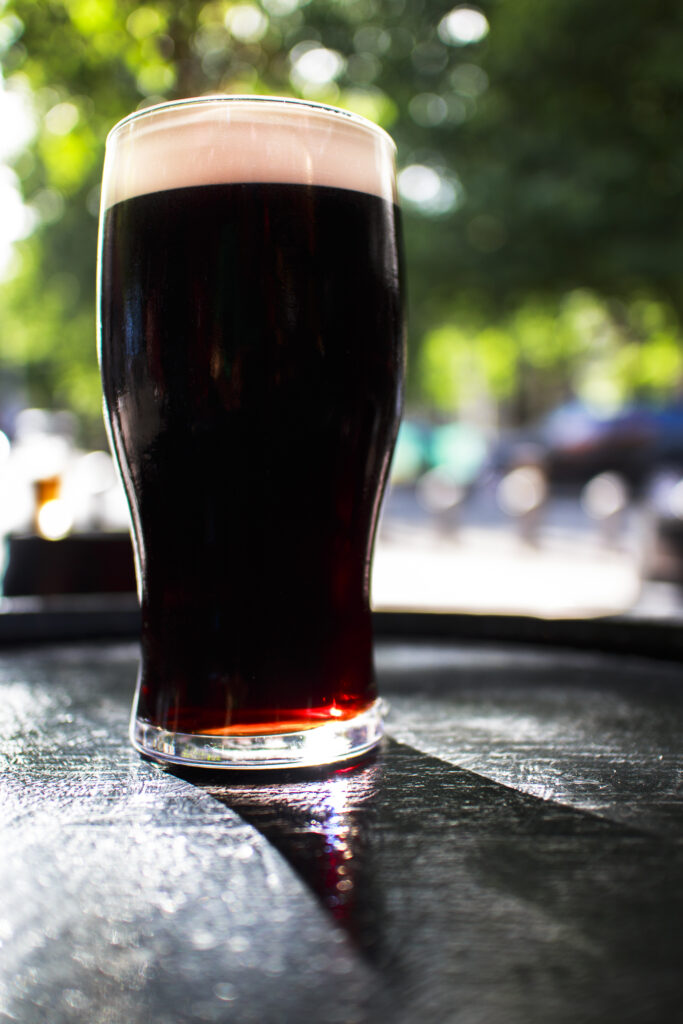
Republic of Ireland, County Dublin, Dublin City. A pint of Irish Stout outside a public house in the city of Ireland.
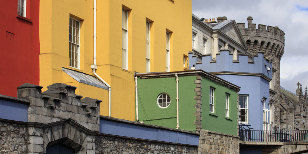
Republic of Ireland, County Dublin, Dublin City. The colourful state apartments at Dublin Castle.
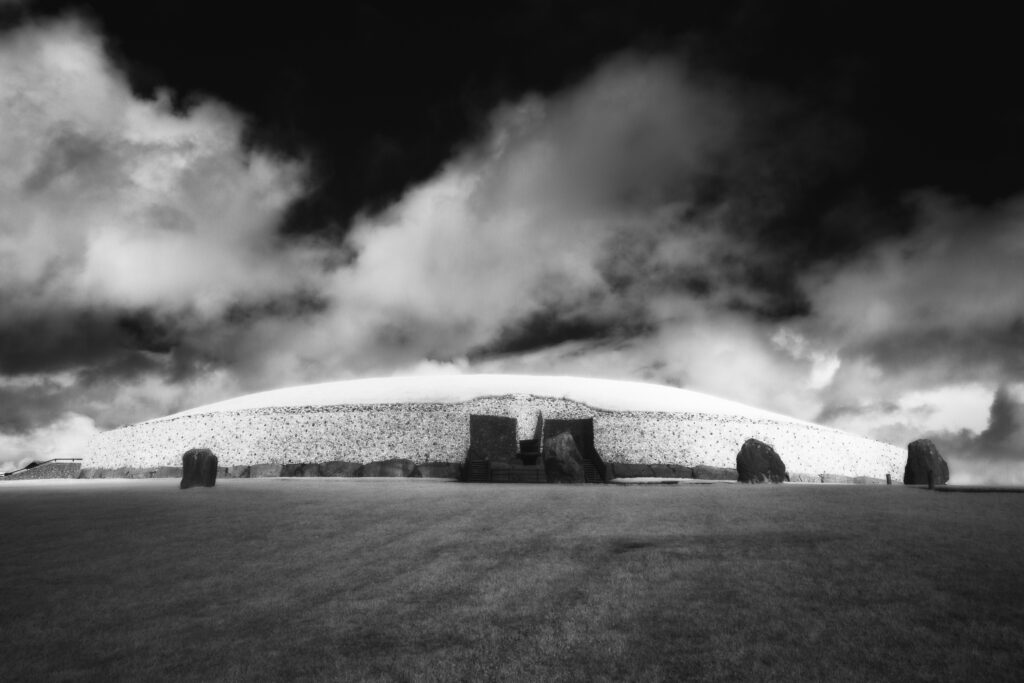
Newgrange, County Meath. This image was photographed for the Legacy project, a fascinating not-for-profit endeavour to capture the mystifying stone remains of prehistoric sites scattered across the British Isles. Please visit www.thelegacyproject.org.uk for more information.
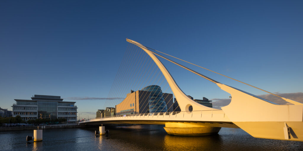
Republic of Ireland, County Dublin, Dublin City. The Samuel Beckett Bridge over the river Liffey with the National Convention Centre behind.
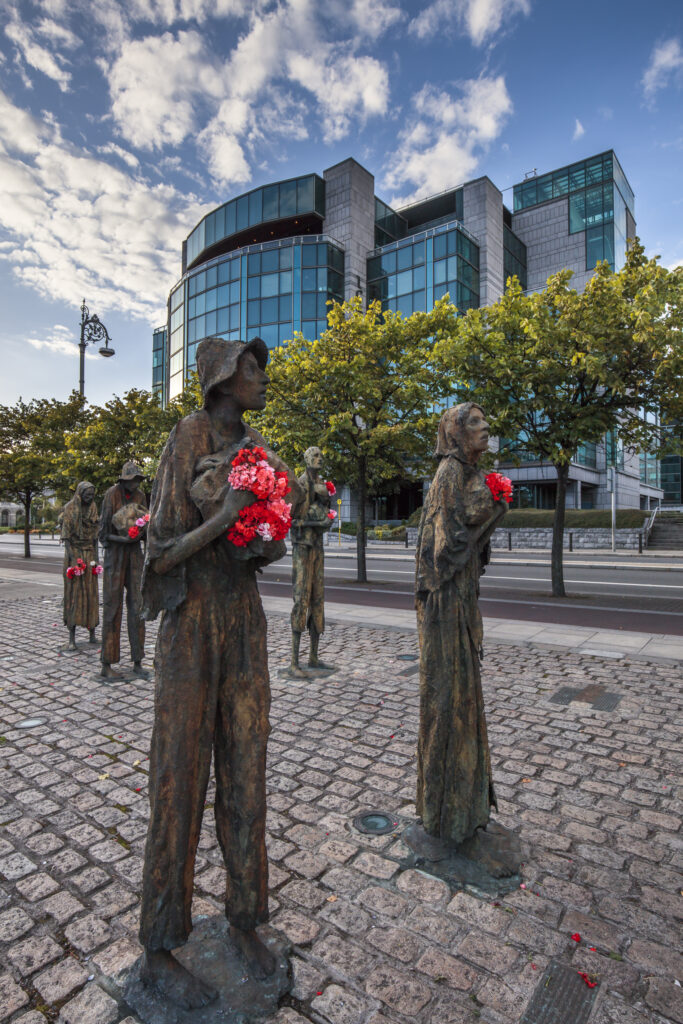
Republic of Ireland, County Dublin, Dublin City. Memorial to the 'Great Famine' also known as the 'Irish Potatoe Famine', located on Customs House Quay in the city of Dublin.
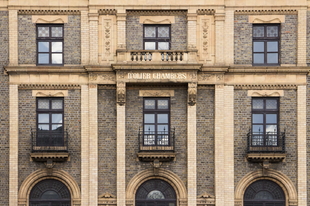
Republic of Ireland, County Dublin, Dublin City. D’Olier Chambers was built in 1891 by J.F Fuller for Gallaher’s Tobacco Company.
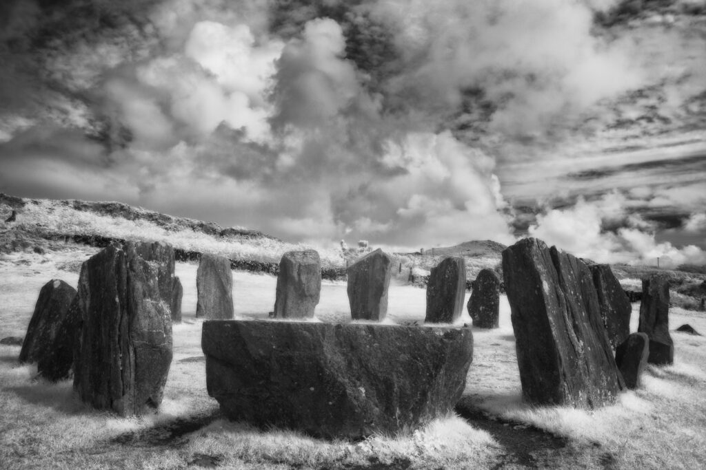
Drombeg Stone Circle, County Cork. This image was photographed for the Legacy project, a fascinating not-for-profit endeavour to capture the mystifying stone remains of prehistoric sites scattered across the British Isles. Please visit www.thelegacyproject.org.uk for more information.
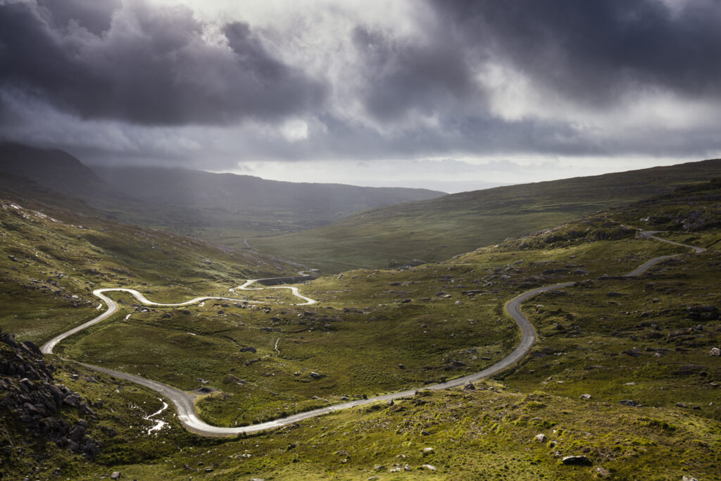
Republic of Ireland, County Cork, Healy Pass. The serpentine R574 road viewed from Healy Pass, a mountain pass in the Caha mountain range, located in the Beara peninsula.
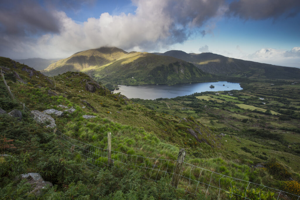
Republic of Ireland, County Kerry, Healy Pass. Glanmore Lake viewed from Healy Pass, a mountain pass in the Caha mountain range, located in the Beara peninsula.
Favourites
Photofeed
