
Your search for “County” returned 445 images.
Clear Search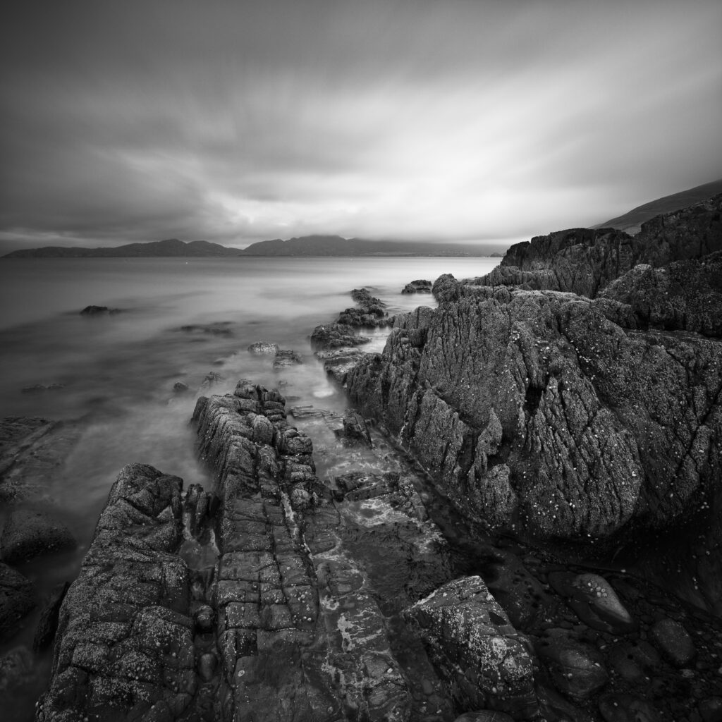
Republic of Ireland, County Cork, Garinish Beach. The dramatic coastline near Garinish located on the Beara Peninsula.
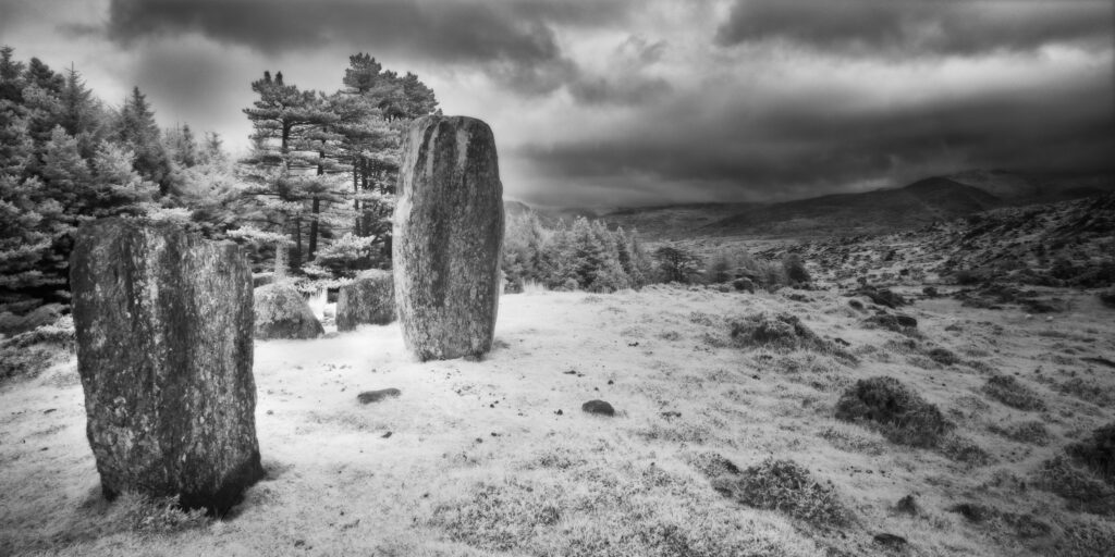
Cashelkeelty Stone Circle, County Kerry. This image was photographed for the Legacy project, a fascinating not-for-profit endeavour to capture the mystifying stone remains of prehistoric sites scattered across the British Isles. Please visit www.thelegacyproject.org.uk for more information.
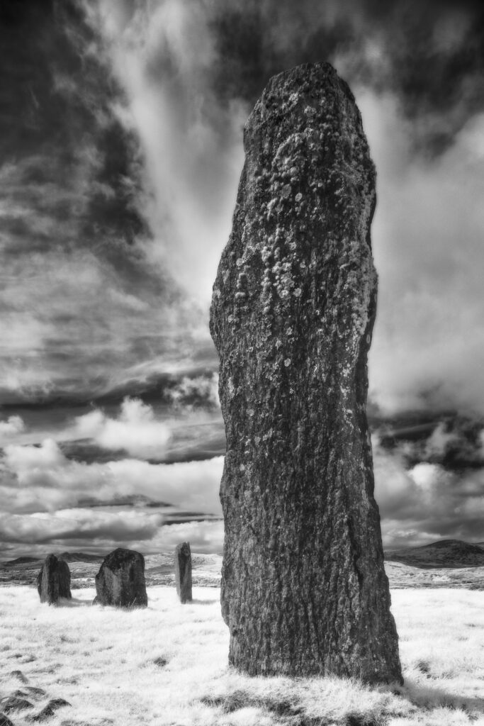
Kealkil Stone Circle, County Cork. This image was photographed for the Legacy project, a fascinating not-for-profit endeavour to capture the mystifying stone remains of prehistoric sites scattered across the British Isles. Please visit www.thelegacyproject.org.uk for more information.
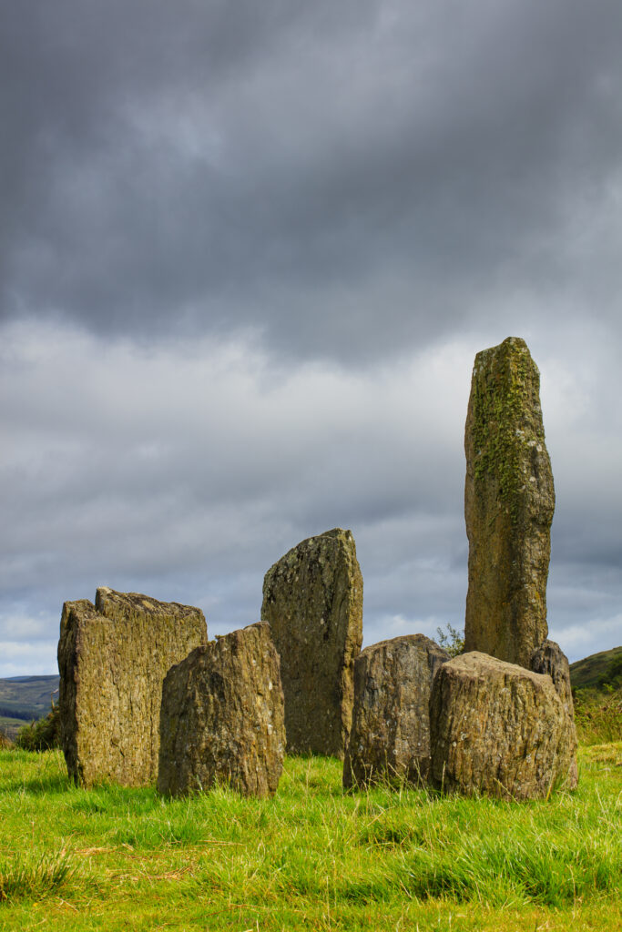
Republic of Ireland, County Cork, Kealkil Stone Circle. The prehistoric site of Kealkil consists of a small five stone circle and two large monoliths.
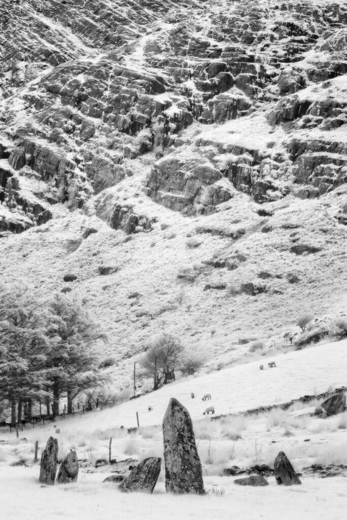
Shronebirrane Stone Circle, County Kerry. This image was photographed for the Legacy project, a fascinating not-for-profit endeavour to capture the mystifying stone remains of prehistoric sites scattered across the British Isles. Please visit www.thelegacyproject.org.uk for more information.
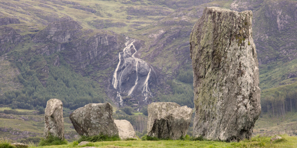
Republic of Ireland, County Kerry, Uragh Stone Circle. Waterfall behind the prehistoric Uragh Stone Circle which is located between Lough Inchiquin and Lough Cloonee in Gleninchiquin Park, on the Beara Peninsula.
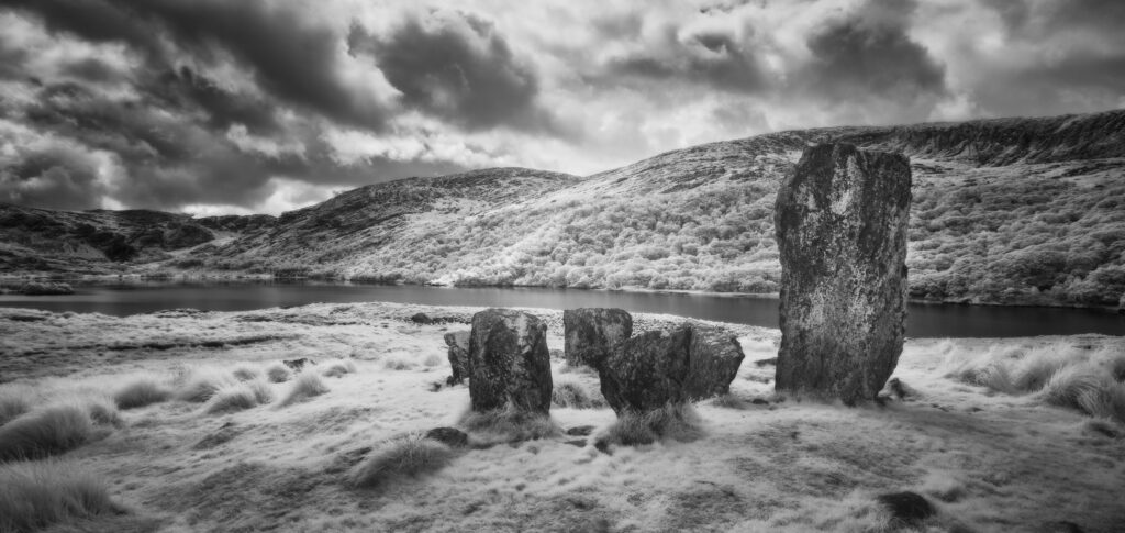
Uragh Stone Circle, County Kerry. This image was photographed for the Legacy project, a fascinating not-for-profit endeavour to capture the mystifying stone remains of prehistoric sites scattered across the British Isles. Please visit www.thelegacyproject.org.uk for more information.
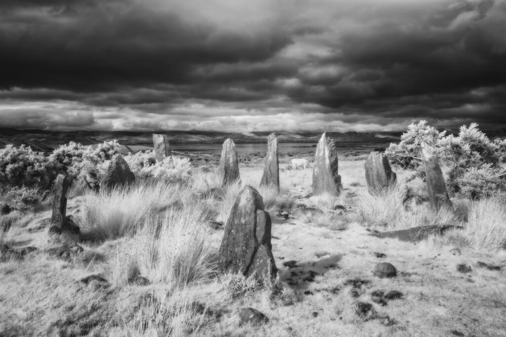
Ardgroom Stone Circle, County Cork. This image was photographed for the Legacy project, a fascinating not-for-profit endeavour to capture the mystifying stone remains of prehistoric sites scattered across the British Isles. Please visit www.thelegacyproject.org.uk for more information.
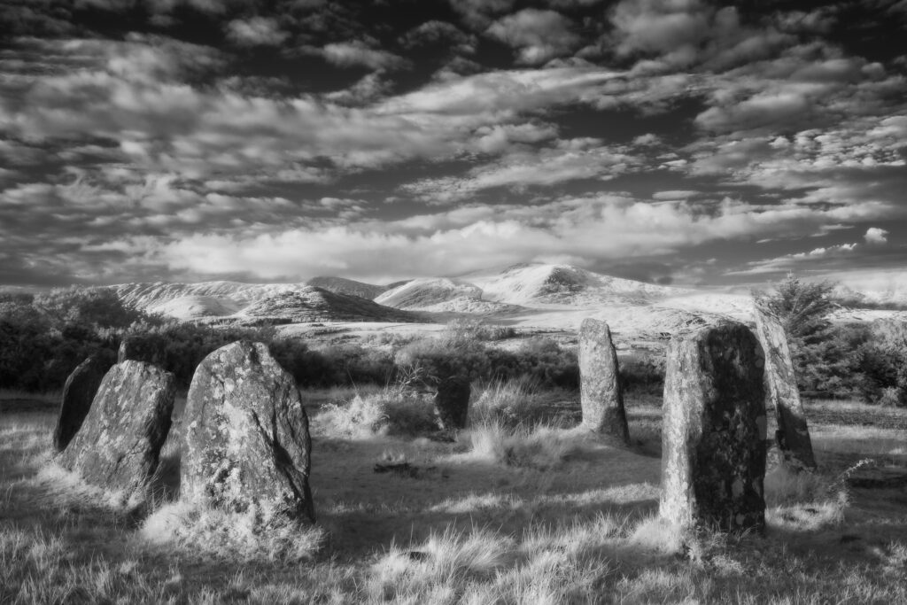
Derreenataggart Stone Circle, County Cork. This image was photographed for the Legacy project, a fascinating not-for-profit endeavour to capture the mystifying stone remains of prehistoric sites scattered across the British Isles. Please visit www.thelegacyproject.org.uk for more information.
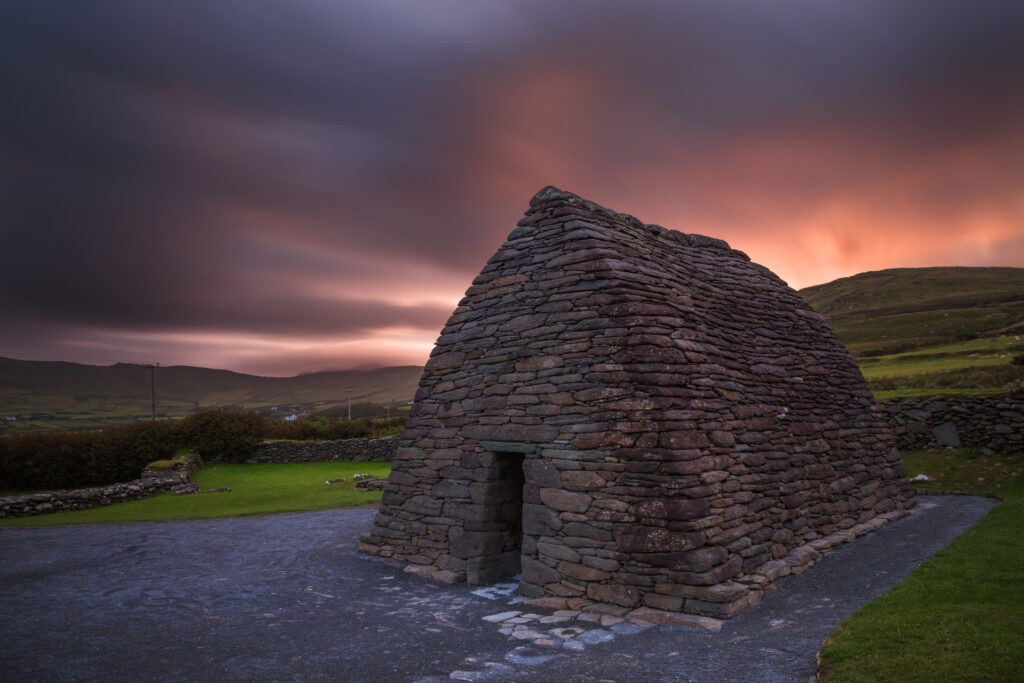
Republic of Ireland, County Kerry, Gallarus Oratory. Gallarus Oratory, an early Christian church located on the Dingle Peninsula in the Republic of Ireland.
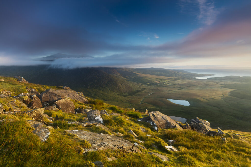
Republic of Ireland, County Kerry, Conor Pass. Early morning view from Connor Hill looking towards Brandon Peak and Brandon Bay on the Dingle Peninsula.
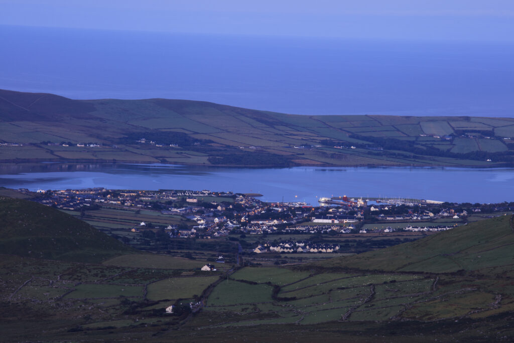
Republic of Ireland, County Kerry, Dingle. Early morning view from Connor Hill on the Conor Pass, looking the coastal town of Dingle on the Dingle Peninsula.
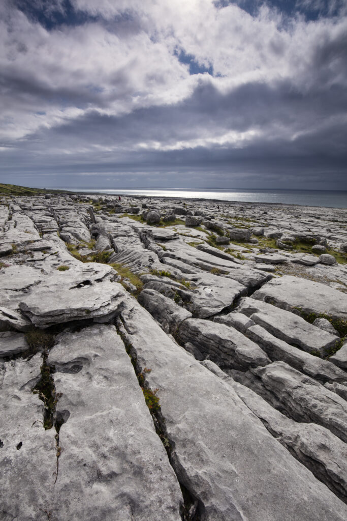
Republic of Ireland, County Clare, The Burren at Black Head. Grike and Clint in the limestone karst-landscape of The Burren near Galway Bay.
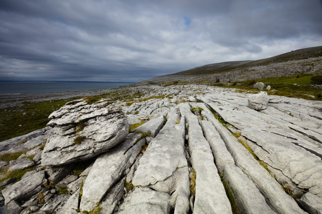
Republic of Ireland, County Clare, The Burren at Black Head. Grike and Clint in the limestone karst-landscape of The Burren near Galway Bay.
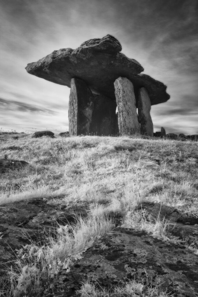
Poulnabrone Dolmen, County Clare. This image was photographed for the Legacy project, a fascinating not-for-profit endeavour to capture the mystifying stone remains of prehistoric sites scattered across the British Isles. Please visit www.thelegacyproject.org.uk for more information.
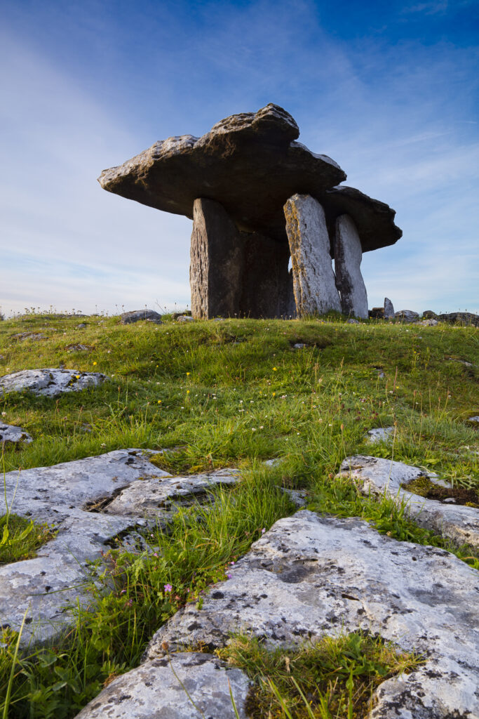
Republic of Ireland, County Clare, Poulnabrone Dolmen. Poulnabrone Portal Dolmen, an ancient stone tomb dating between 2000 – 2500 B.C., situated on limestone pavement in an area know as 'The Burren'.
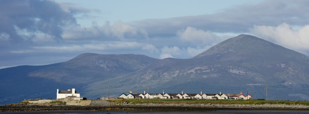
Northern Ireland, County Down, Tyrella Beach. The Mourne Mountains viewed from Tyrella.
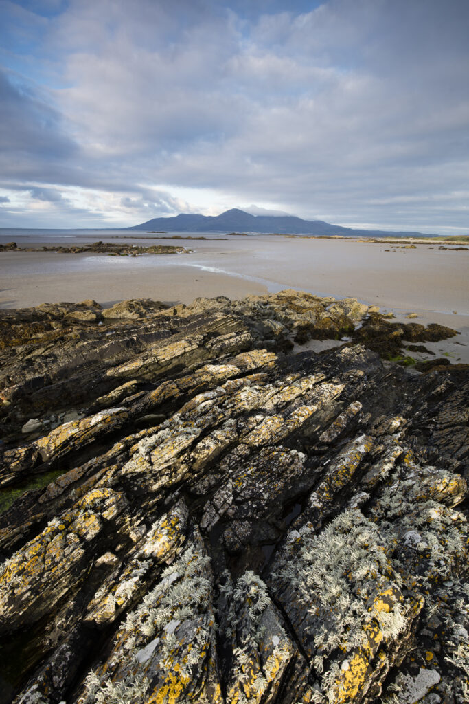
Northern Ireland, County Down, Tyrella Beach. The Mourne Mountains viewed from Tyrella.
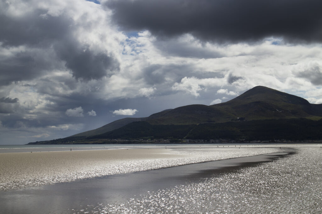
Northern Ireland, County Down, Murlough Beach. Storm clouds above Murlough Bay and the overlooking Mourne Mountains
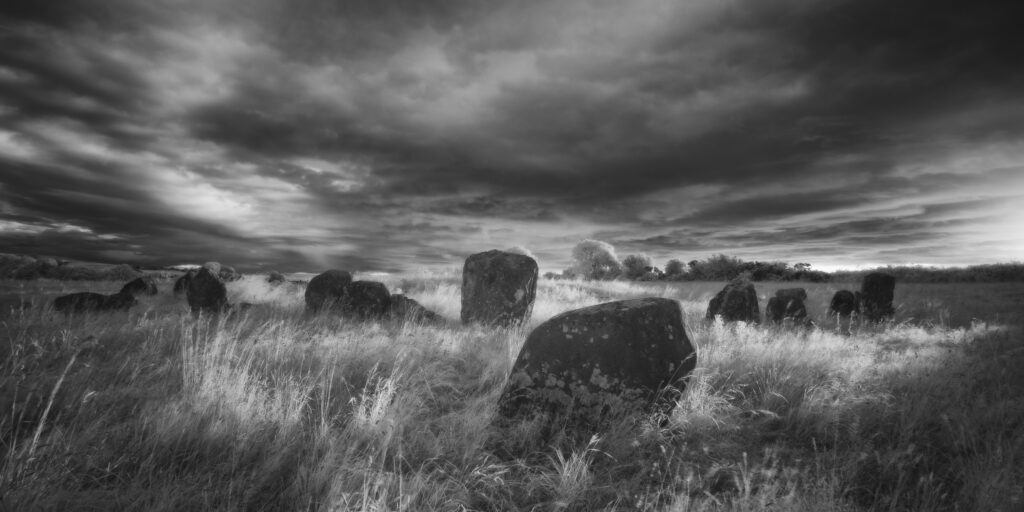
Ballynoe Stone Circle, County Down. This image was photographed for the Legacy project, a fascinating not-for-profit endeavour to capture the mystifying stone remains of prehistoric sites scattered across the British Isles. Please visit www.thelegacyproject.org.uk for more information.
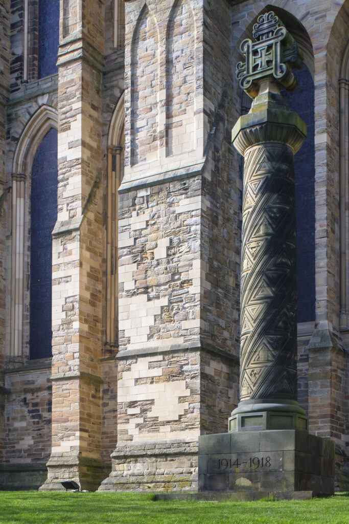
England, County Durham, Durham City. Memorial Gravestone within the grounds of Durham Cathedral.
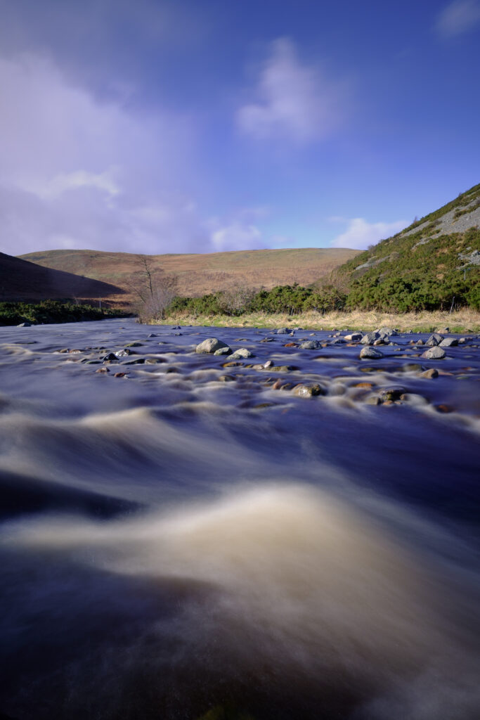
England, Northumberland, Northumberland National Park. The river Breamish, running through the Cheviots and the Breamish valley near the village of Ingram situated within the Northumberland National Park in the northen england county of Northumberland about 8km east of the border with Scotland.
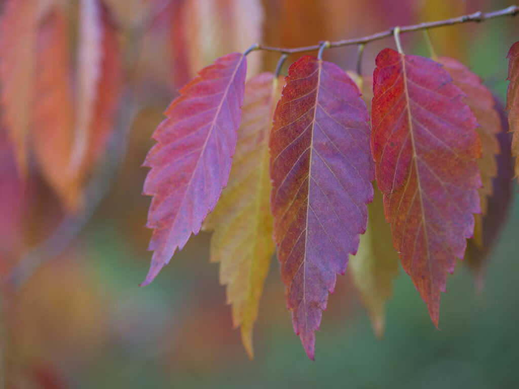
England, County Durham, East Durham College Arboretum. Autumn / fall colours of the Zelkova Serrata – keyaki or Japanese zelkova (Ulmaceae) tree.
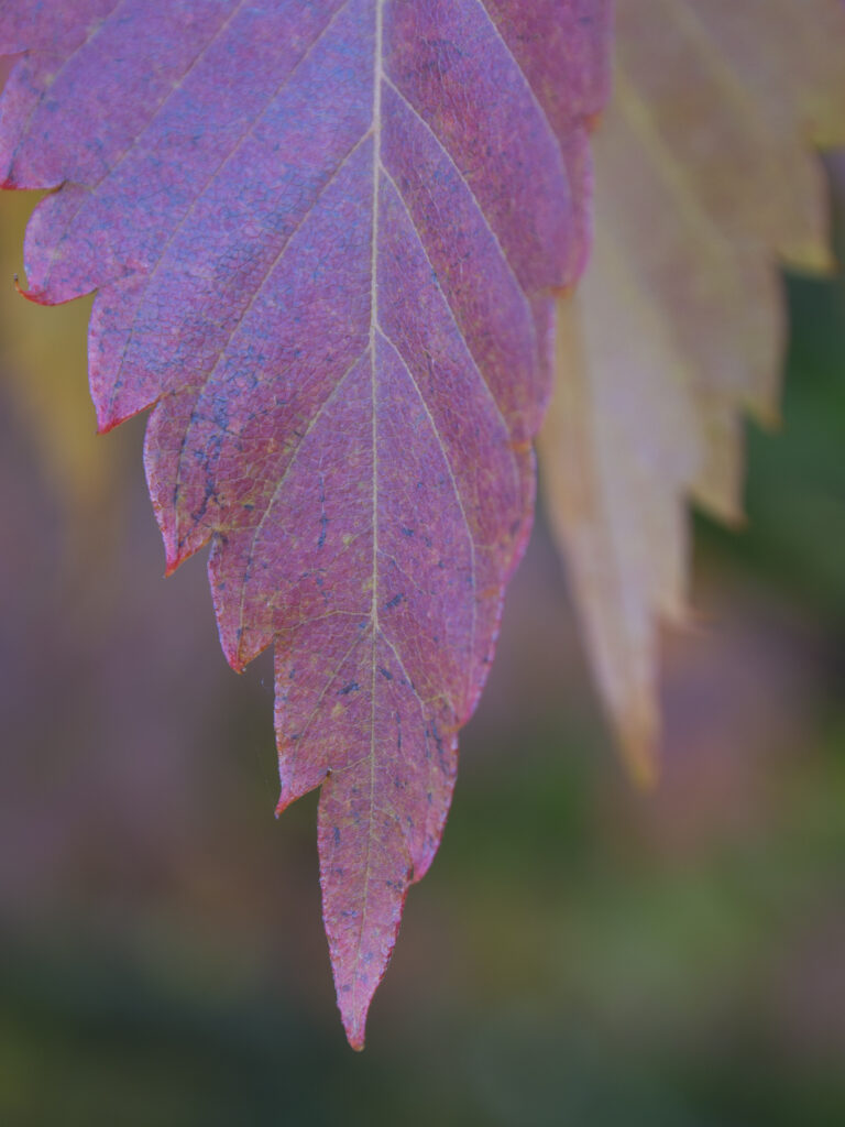
England, County Durham, East Durham College Arboretum. Autumn / fall colours of the Zelkova Serrata – keyaki or Japanese zelkova (Ulmaceae) tree.
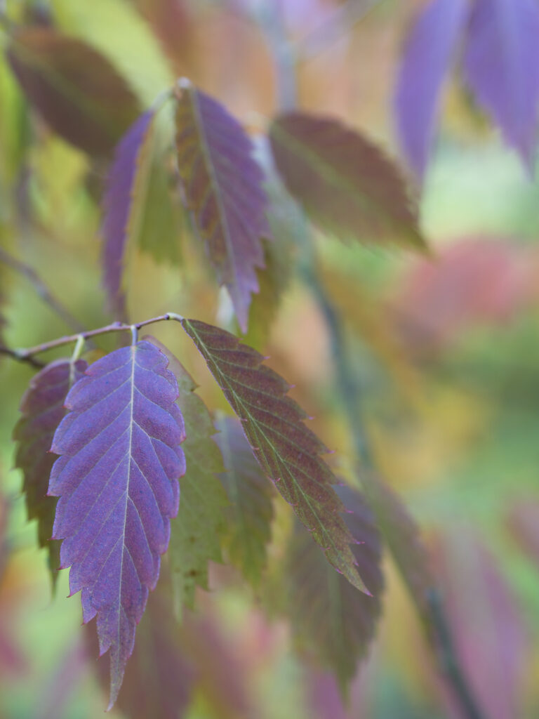
England, County Durham, East Durham College Arboretum. Autumn / fall colours of the Zelkova Serrata – keyaki or Japanese zelkova (Ulmaceae) tree.
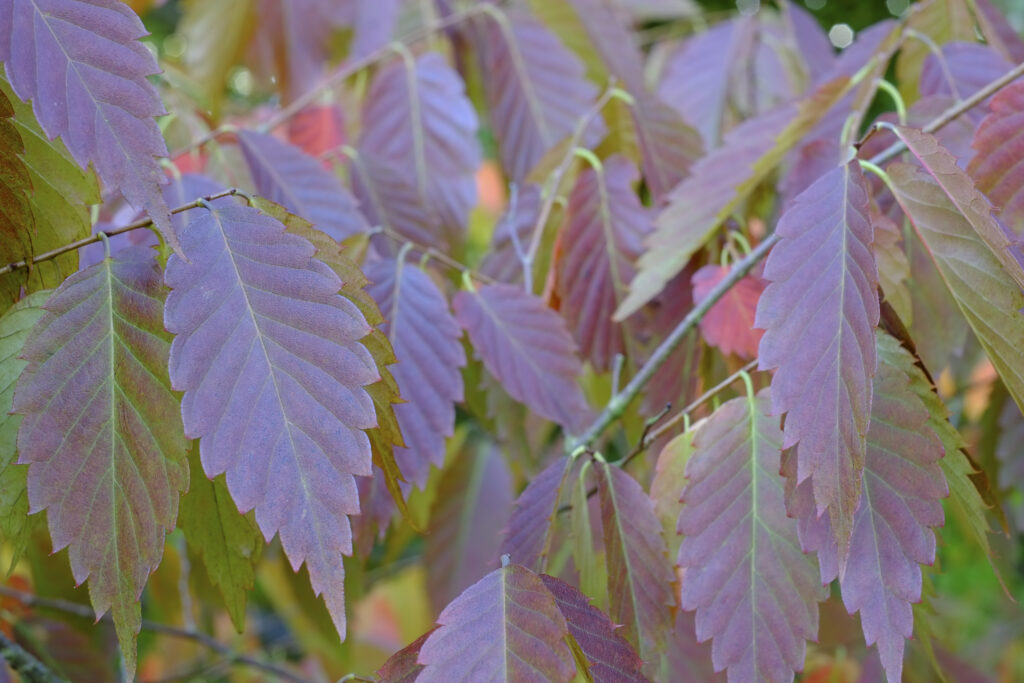
England, County Durham, East Durham College Arboretum. Autumn / fall colours of the Zelkova Serrata – keyaki or Japanese zelkova (Ulmaceae) tree.
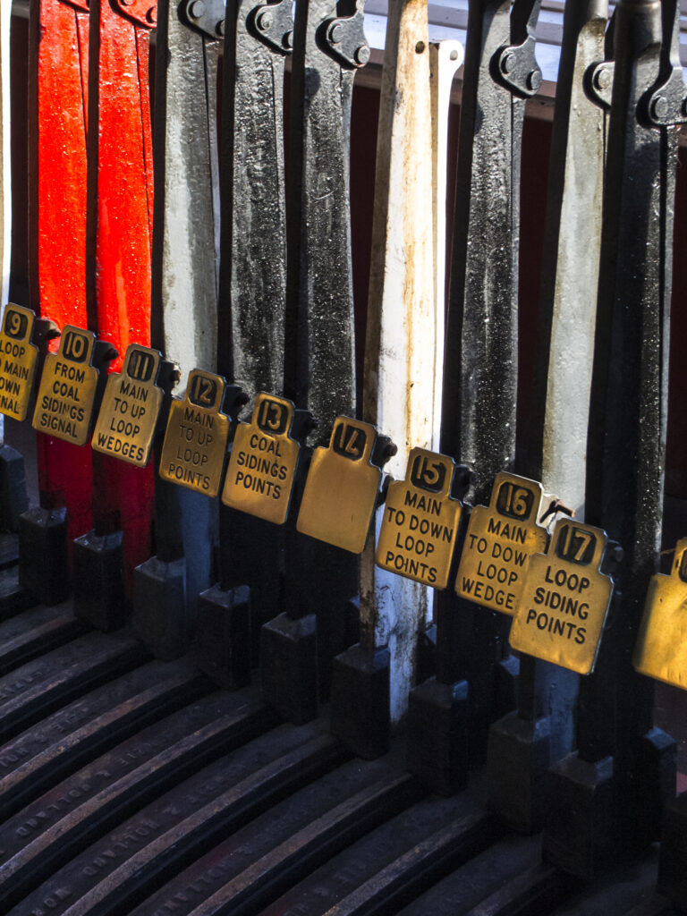
England, County Durham, Beamish Museum. Railway signal controls in a signal box from Carr House East now preserved as a building on display in the Beamish Open Air Living Museum.
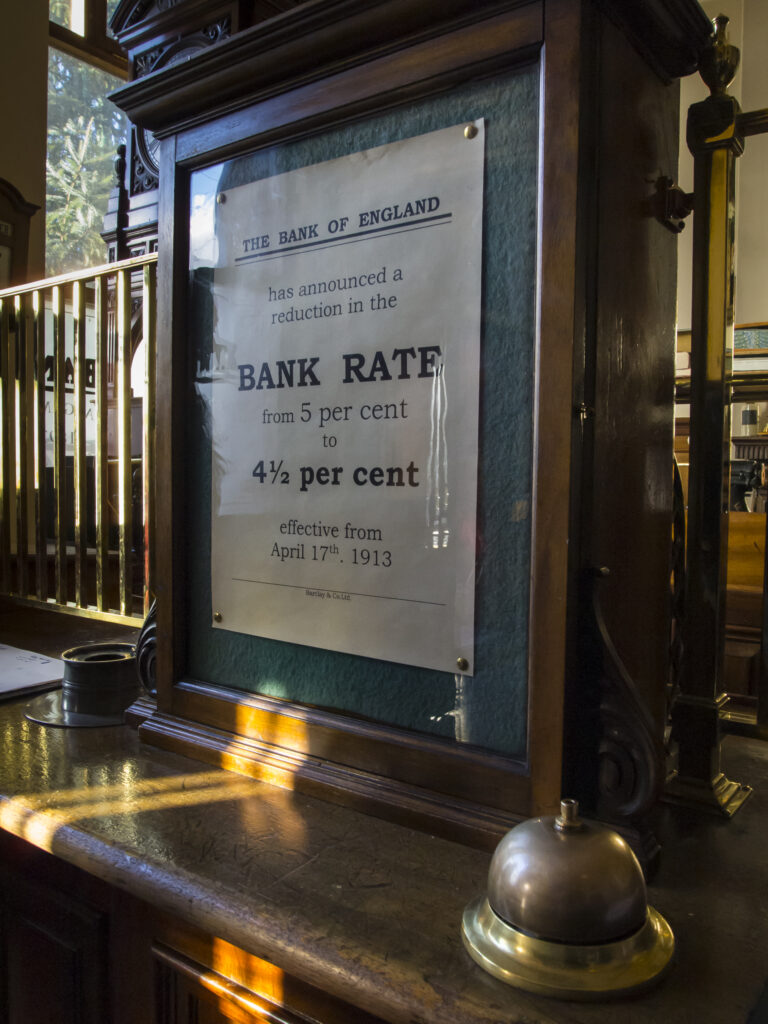
England, County Durham, Beamish Museum. Bank of England Bank Rate sign from 1913, located in the Barclays bank building on display in the Beamish Open Air Living Museum.
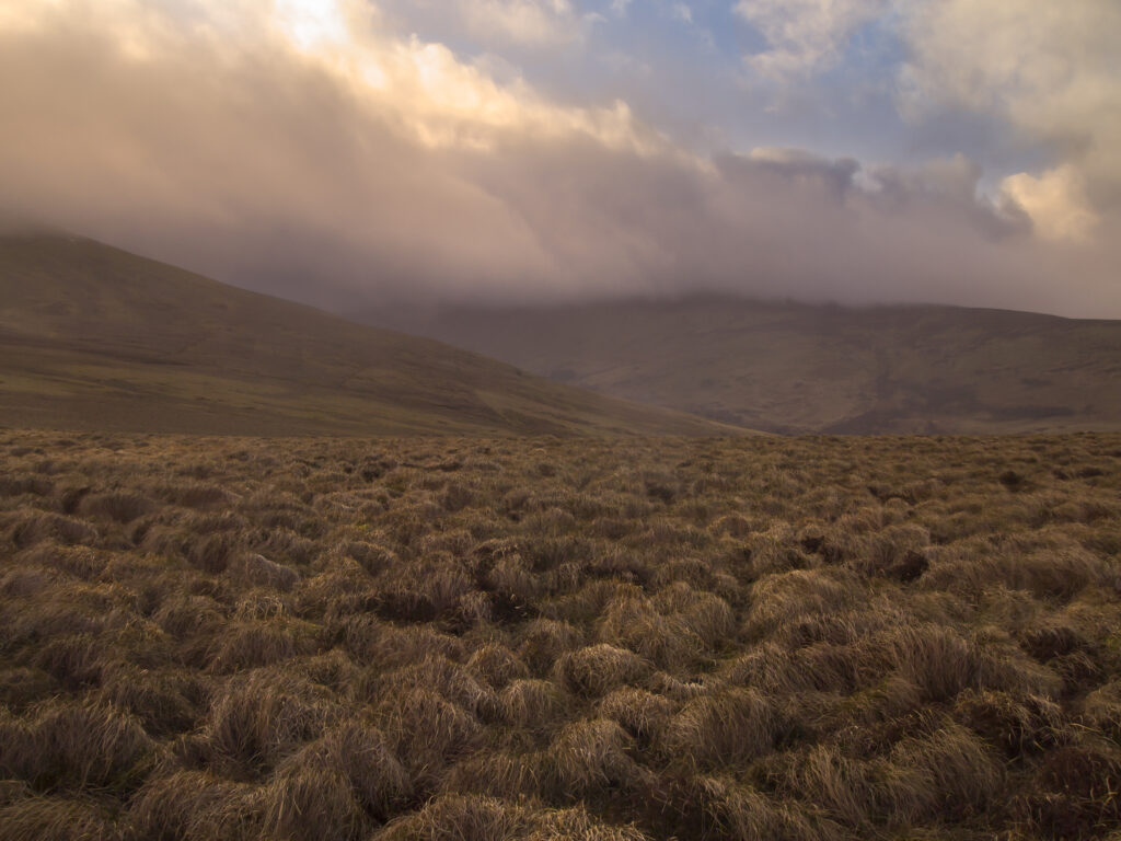
England, Northumberland, Northumberland National Park. Looking across the Harthope Valley towards the Cheviot, from the upper slopes of the Cheviot Hills.
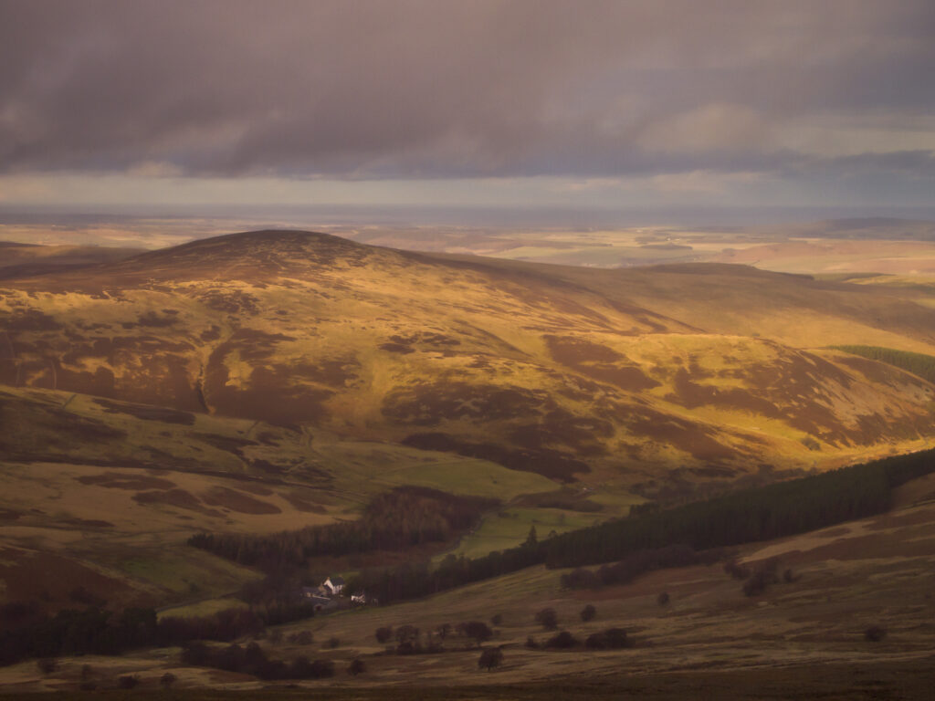
England, Northumberland, Northumberland National Park. Looking down towards the Harthope Valley, during a rain storm, from the upper slopes of the Cheviot Hills.
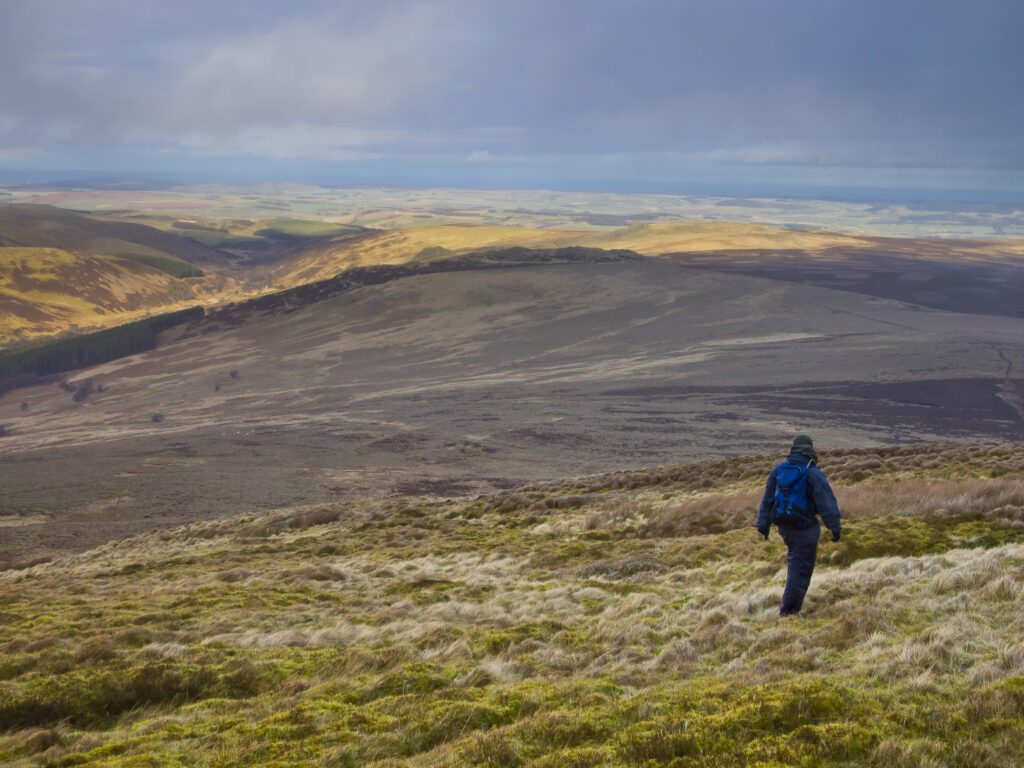
England, Northumberland, Northumberland National Park. Hiker walking down towards the Harthope Valley, from the upper slopes of the Cheviot Hills.
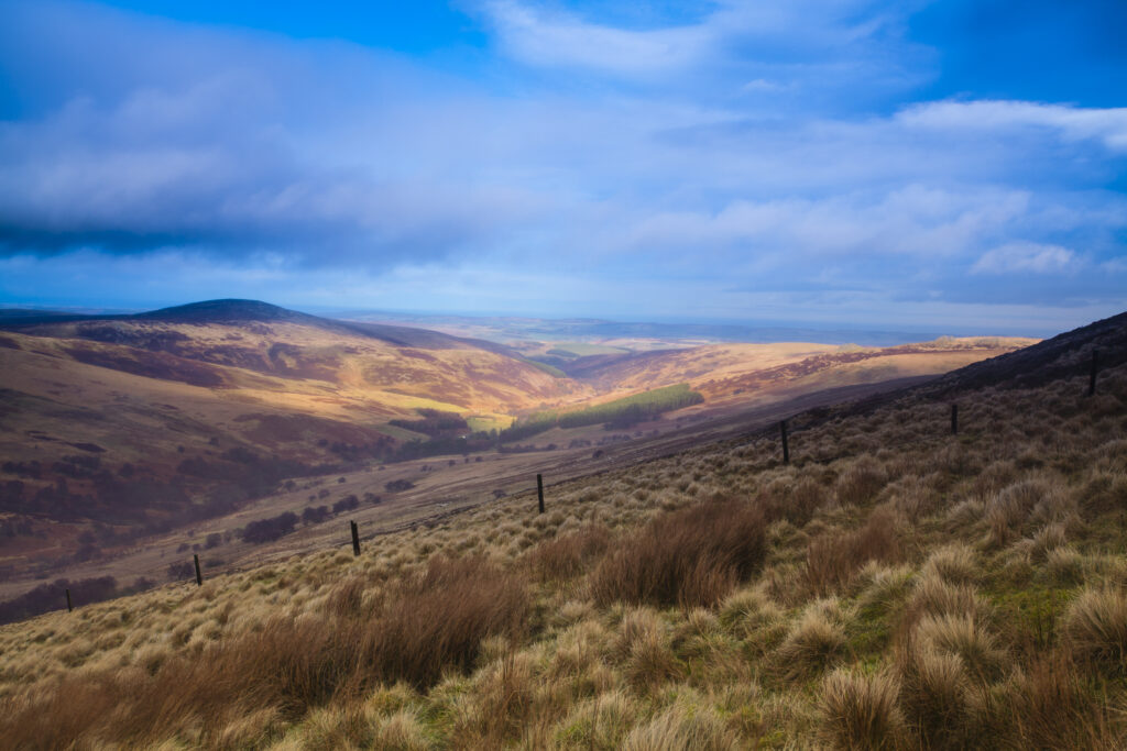
England, Northumberland, Northumberland National Park. Looking down towards the Harthope Valley, during a rain storm, from the upper slopes of the Cheviot Hills.
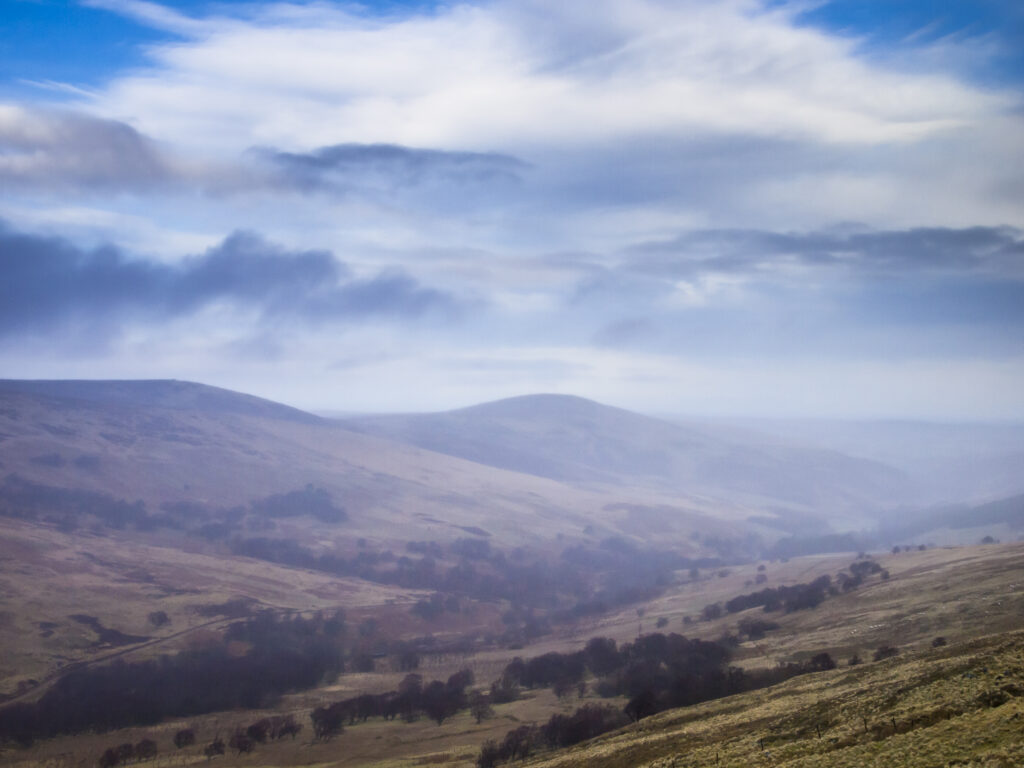
England, Northumberland, Northumberland National Park. Looking across the Harthope Valley towards the Cheviot, from the upper slopes of the Cheviot Hills.
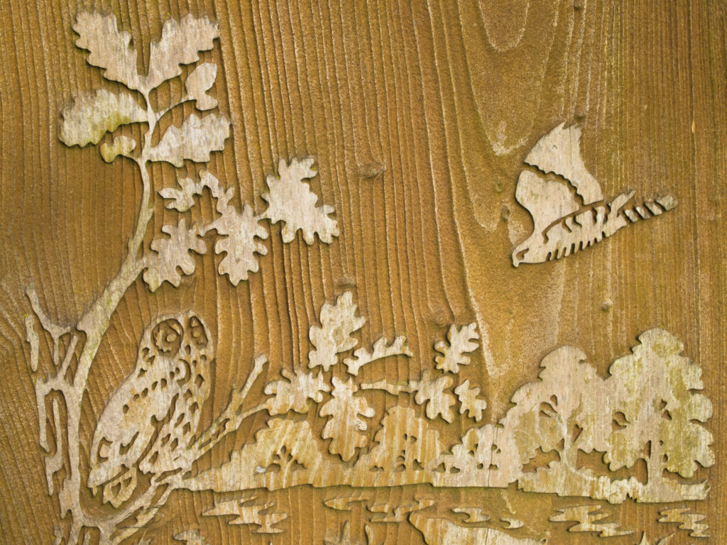
England, Tyne and Wear, Gibside Estate. Wood engraving / carving located within the walled garden at Gibisde.

England, Tyne and Wear, Gibside Estate. Shadow of a tree on the bricks of the wall of the walled garden within the Gibside Esate.
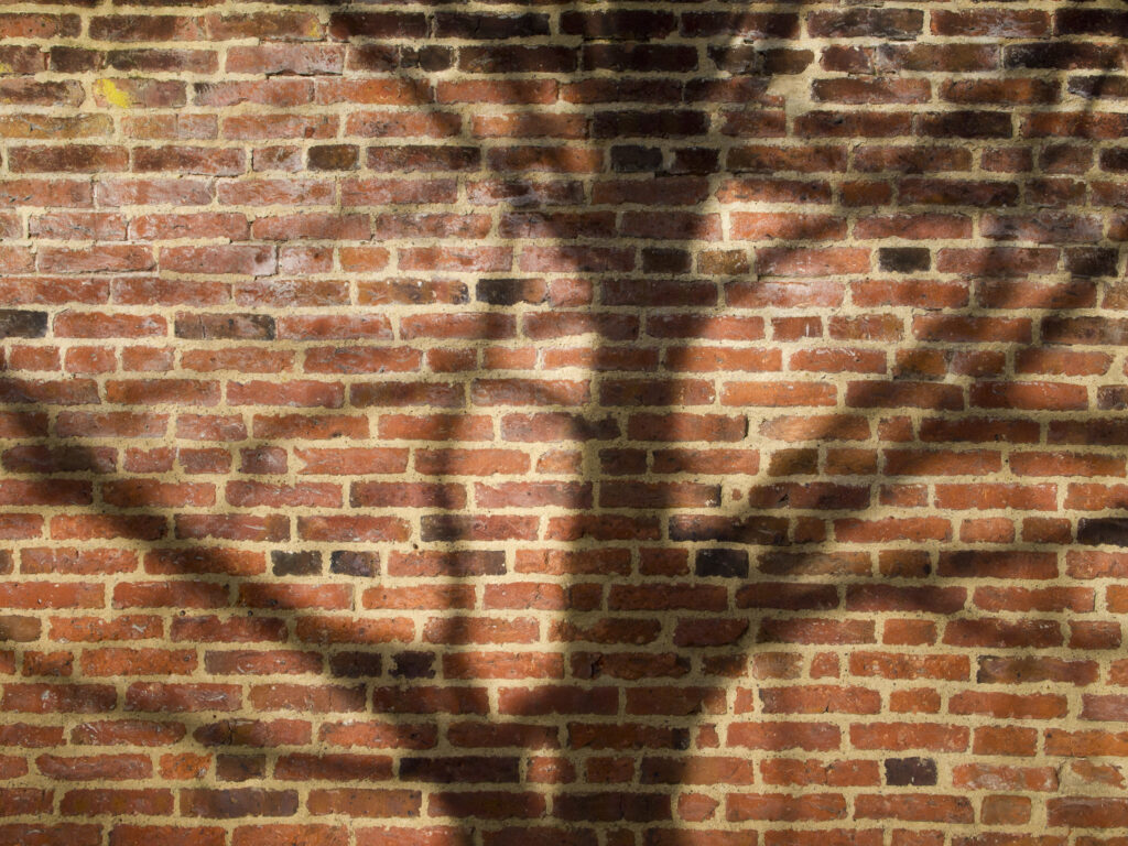
England, Tyne and Wear, Gibside Estate. Shadow of a tree on the bricks of the wall of the walled garden within the Gibside Esate.
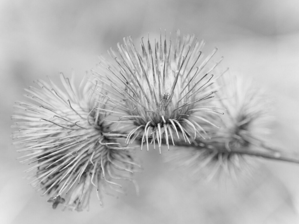
England, Tyne and Wear, Gibside Estate. Burdock Seed Heads located within woodland forming the Gibside Estate.
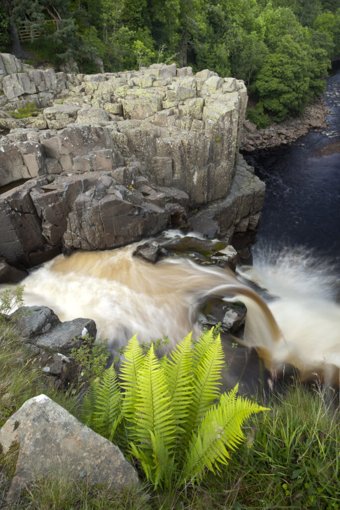
England, County Durham, High Force. The River Tees cascades down the High Force waterfall in County Durham.
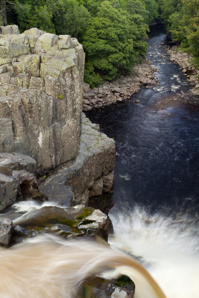
England, County Durham, High Force. The River Tees cascades down the High Force waterfall in County Durham.
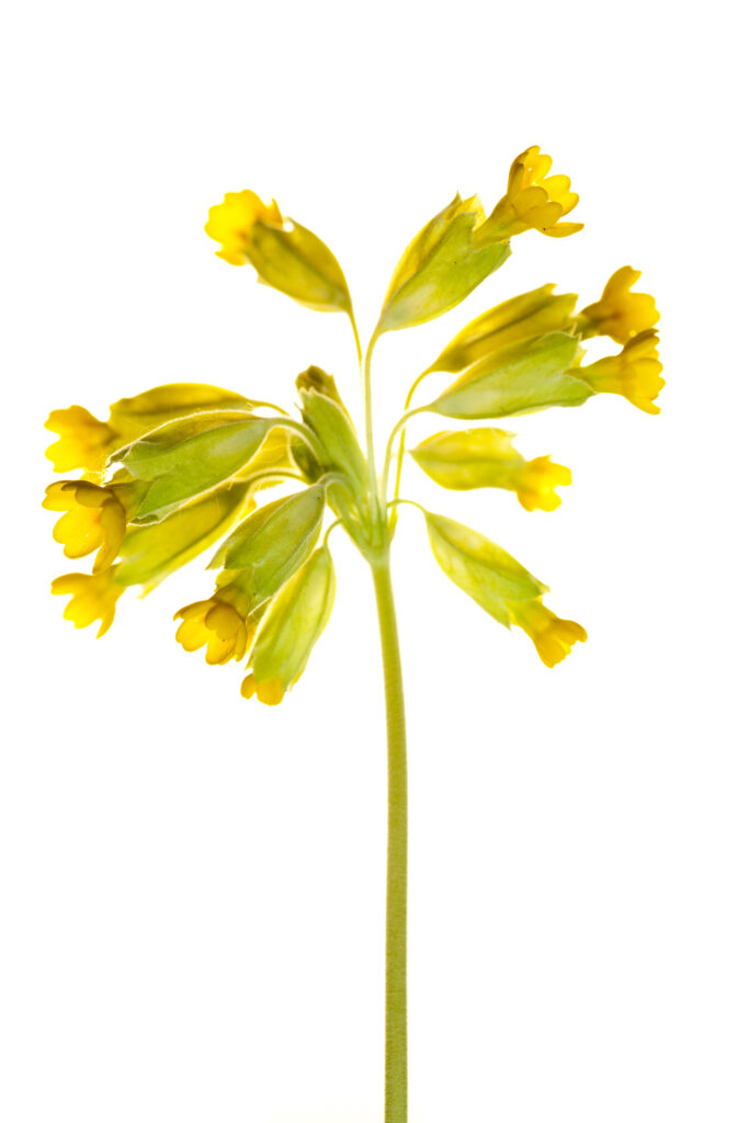
England. Northumberland, Birdsfoot Trefoil. Birdsfoot Trefoil flowers growing in the county of Northumberland, UK. Photographed outdoors.

England. Northumberland, Fern. Native Fern growing in the county of Northumberland, UK. Photographed outdoors.
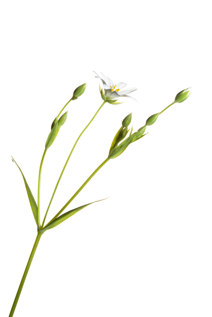
England. Northumberland, Stichwort. Stichwort flower growing in the county of Northumberland, UK. Photographed outdoors.
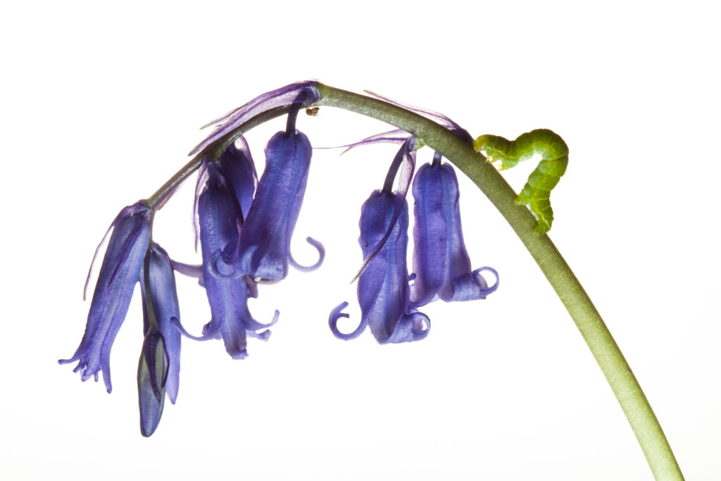
Caterpillar on wild Bluebell flowers growing in the county of Northumberland, UK. Photographed outdoors.
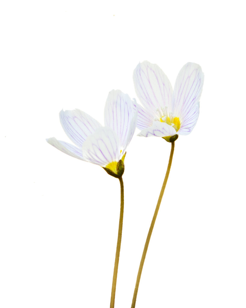
England. Northumberland, Wood-sorrel. Wood-sorrel flowers growing in the county of Northumberland, UK. Photographed outdoors.
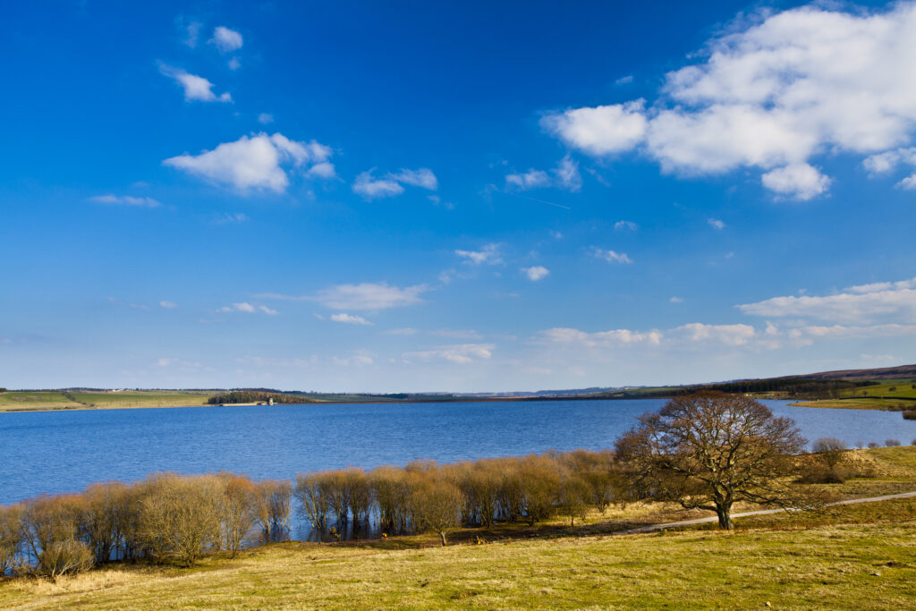
England, Northumberland / County Durham, Derwent Reservoir. Tree on the banks of the Derwent Reservoir, during the winter months.
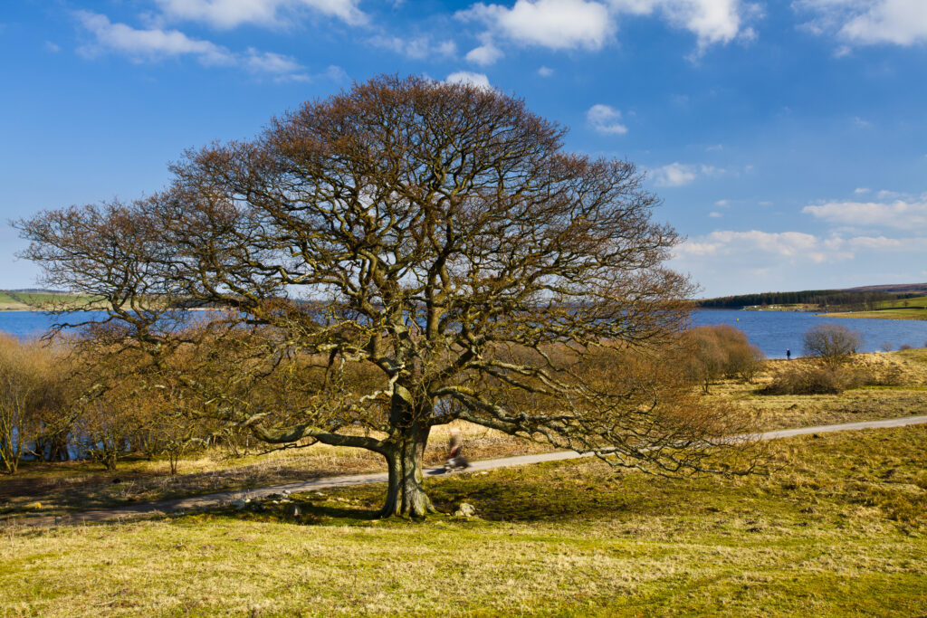
England, Northumberland / County Durham, Derwent Reservoir. Tree on the banks of the Derwent Reservoir, during the winter months.
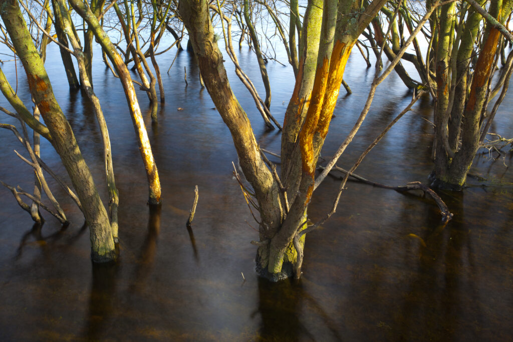
England, Northumberland / County Durham, Derwent Reservoir. Trees submerged in flood waters in the Derwent Reservoir.
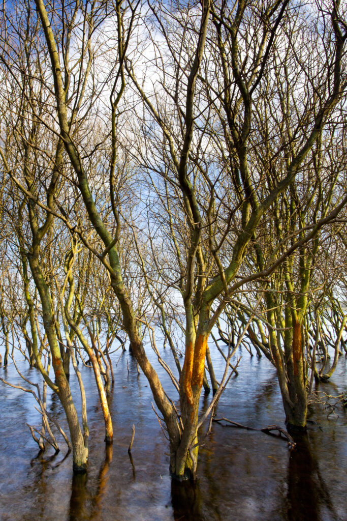
England, Northumberland / County Durham, Derwent Reservoir. Trees submerged in flood waters in the Derwent Reservoir.
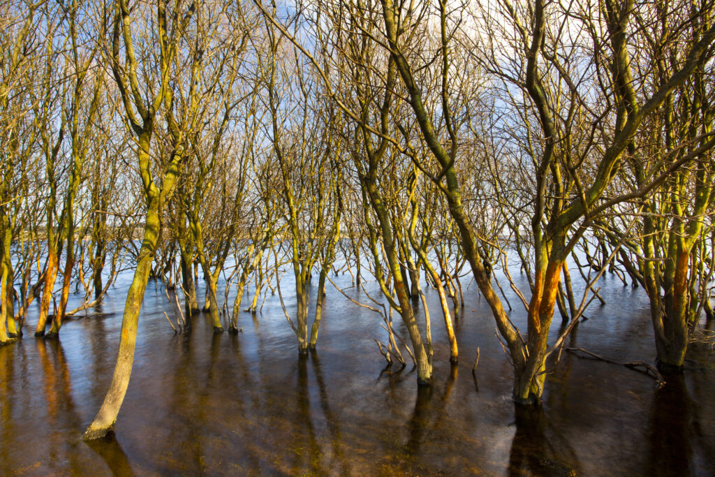
England, Northumberland / County Durham, Derwent Reservoir. Trees submerged in flood waters in the Derwent Reservoir.
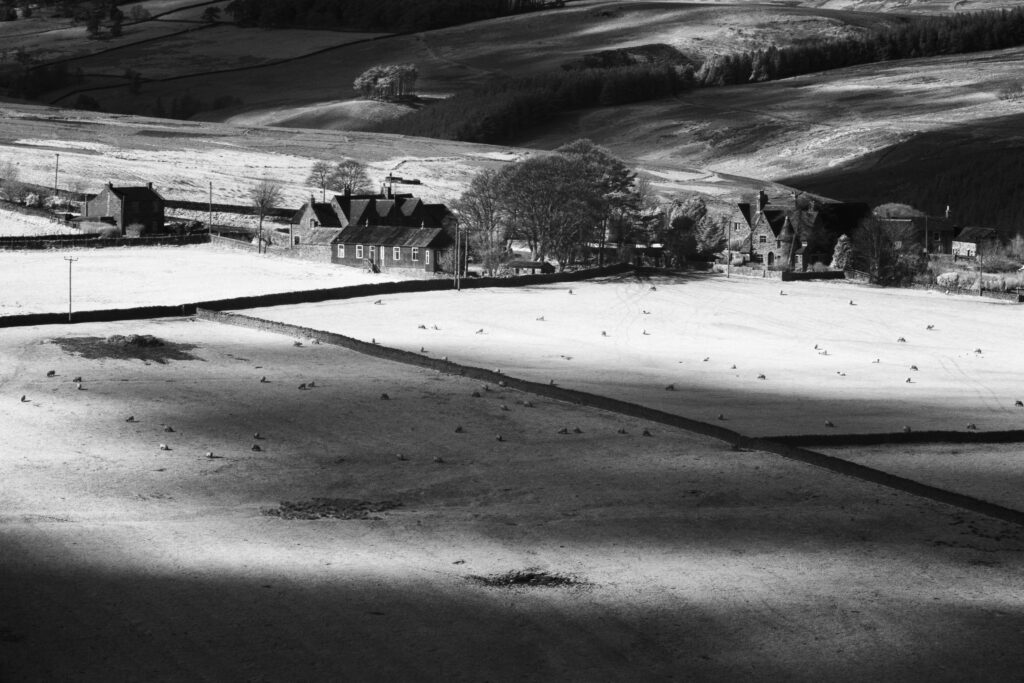
England, County Durham, Derwent Valley. Infrared Black and white shot of the peaceful Derwent Valley
Favourites
Photofeed
