
Your search for “route” returned 146 images.
Clear Search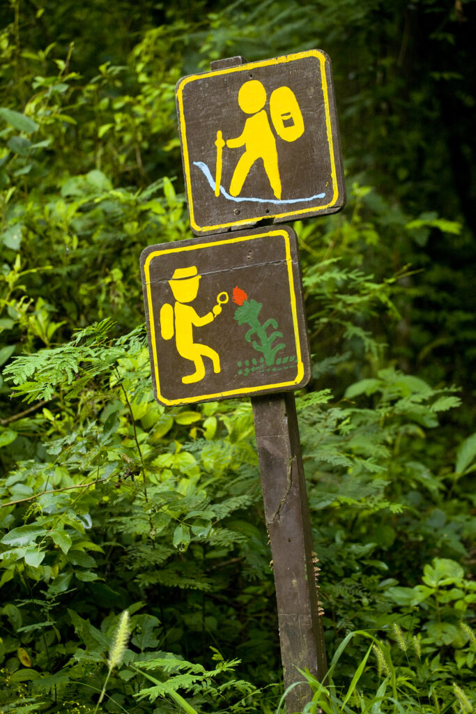
Argentina, Salta, Parque Nacional Calilegua. Hiking route – tropical plant trail sign within the National Park.
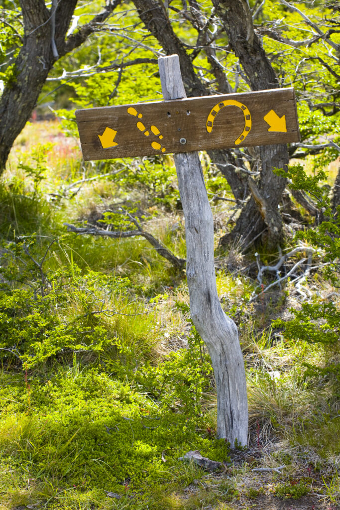
Argentina, Patagonia, Los Glaciares National Park. Sign indicating hiking and horse route.
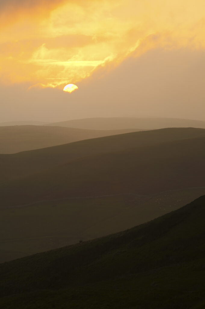
England, Northumberland, Northumberland National Park. Sunset over the rolling Cheviot Hills, viewed from the Border Coutry Ride route near Murder Cleugh.
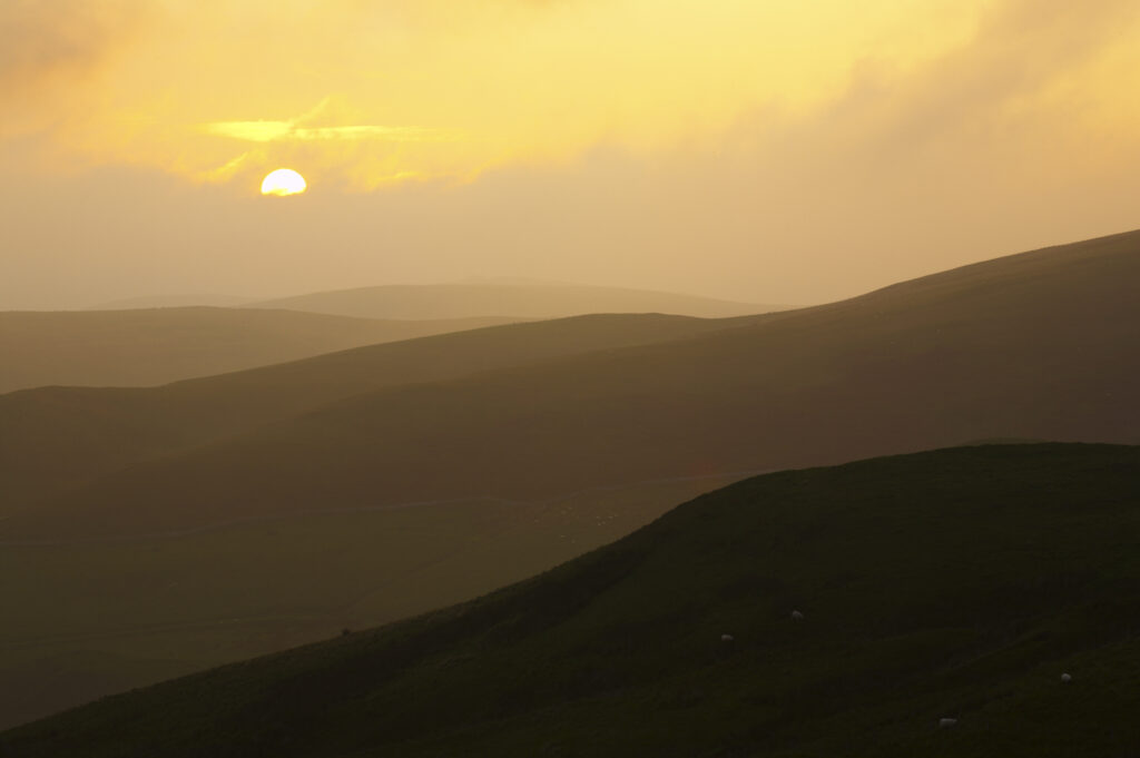
England, Northumberland, Northumberland National Park. Sunset over the rolling Cheviot Hills, viewed from the Border Coutry Ride route near Murder Cleugh.
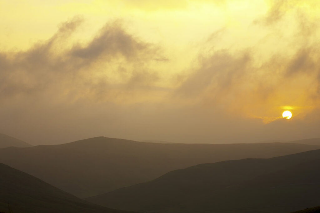
England, Northumberland, Northumberland National Park. Sunset over the rolling Cheviot Hills, viewed from the Border Coutry Ride route near Murder Cleugh.
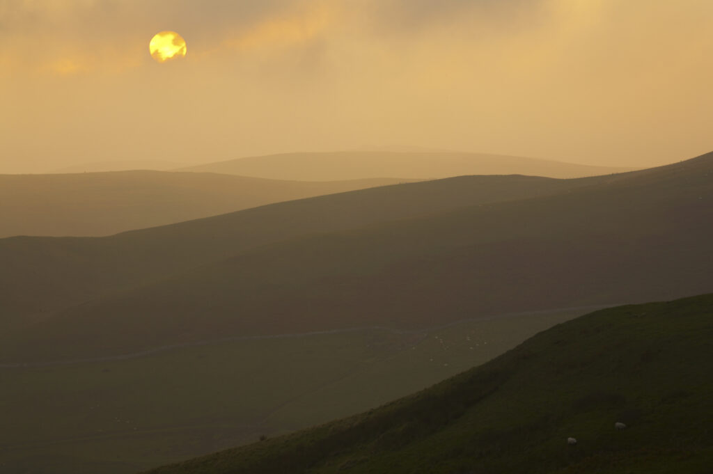
England, Northumberland, Northumberland National Park. Sunset over the rolling Cheviot Hills, viewed from the Border Coutry Ride route near Murder Cleugh.
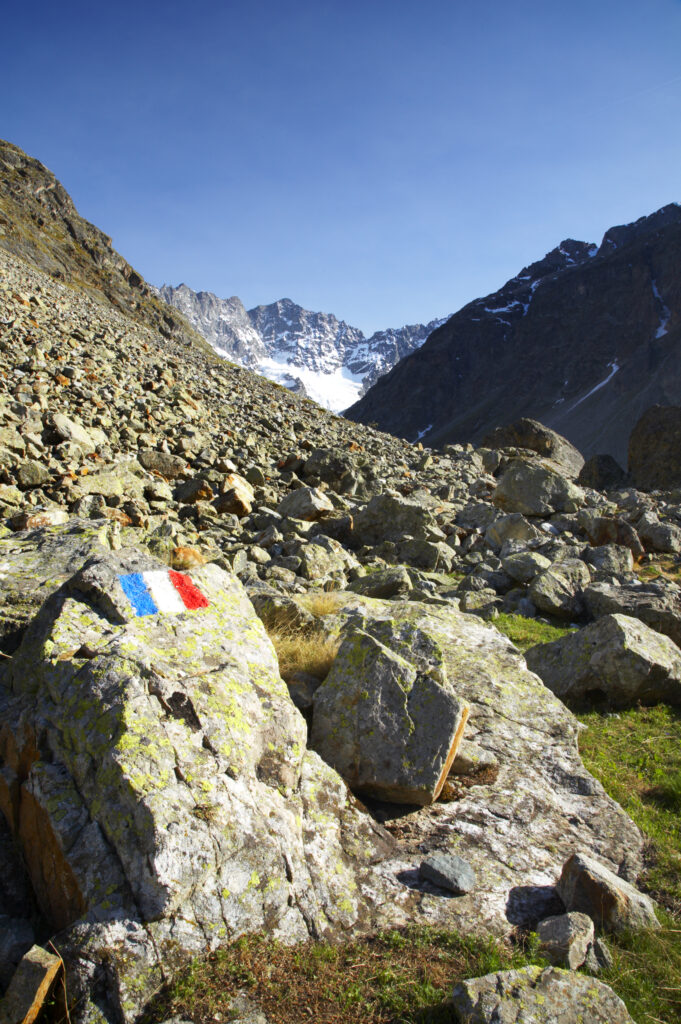
France, Rhône-Alpes, The Ecrins National Park. French flag painted on rocks to indicate the hiking route near the Plan De Valfourone
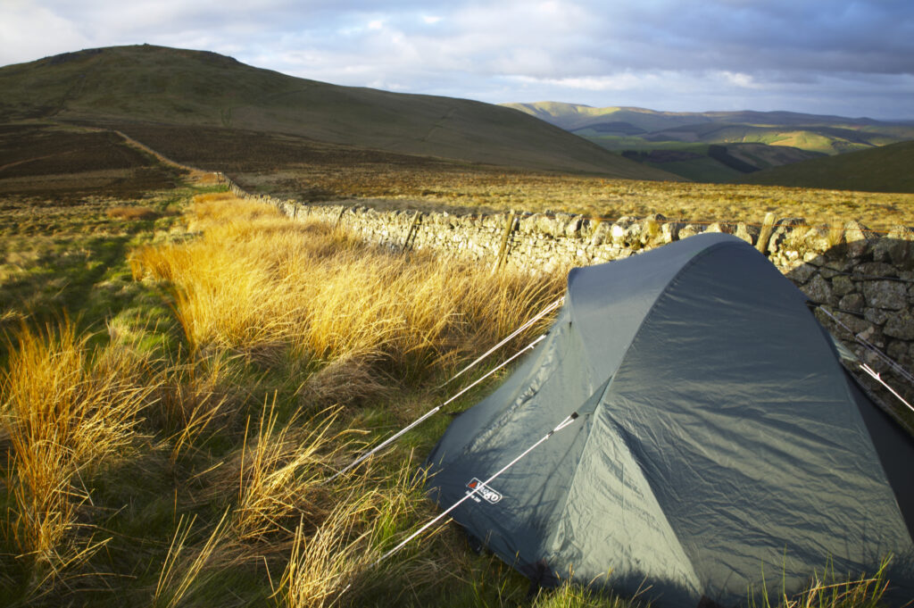
England Northumberland The Pennine Way Wild camp site near to the wall marking the England Scotland border with the Schil in the distance.
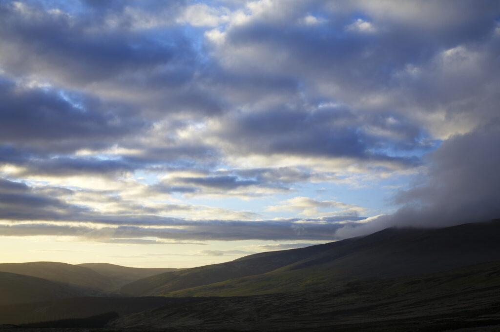
England Northumberland The Pennine Way Morning light illuminates the Cheviot Hills near the Scotland / England border.
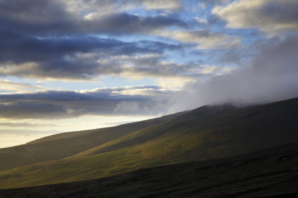
England Northumberland The Pennine Way Morning light illuminates the Cheviot Hills near the Scotland / England border.
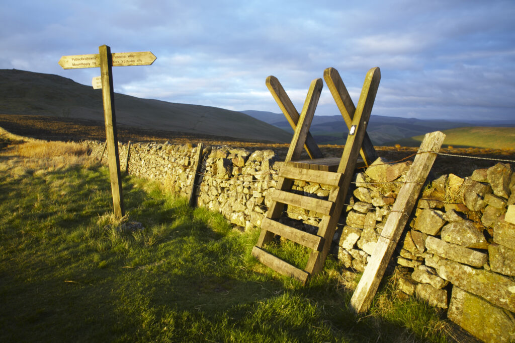
England Northumberland The Pennine Way Ladder Stile over a wall marking the England Scotland border with the Schil in the distance.
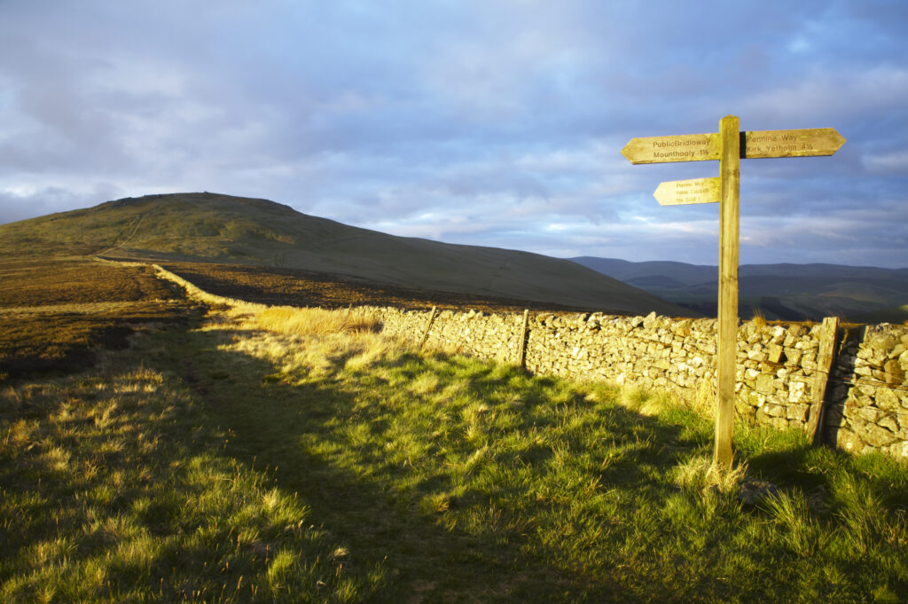
England Northumberland The Pennine Way Ladder Stile over a wall marking the England Scotland border with the Schil in the distance.
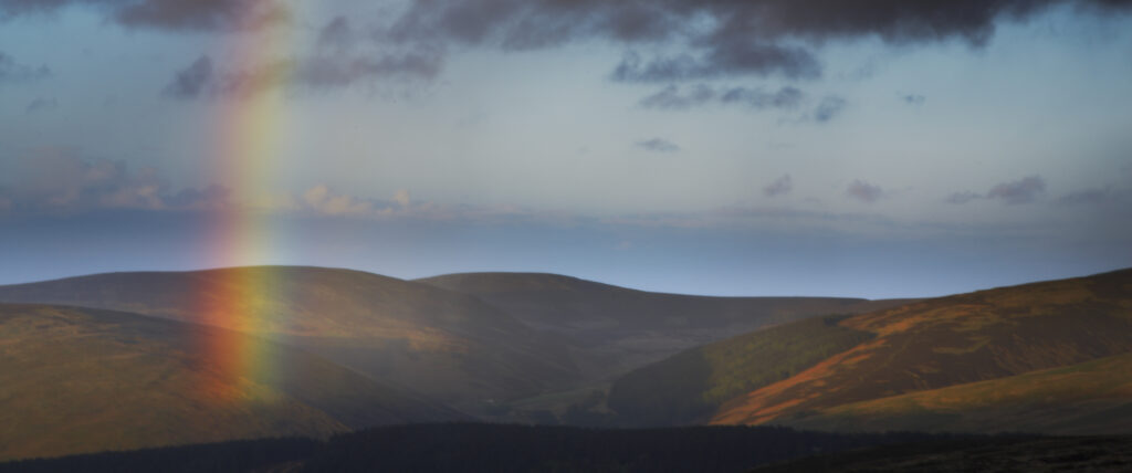
England, Northumberland, The Pennine Way. A rainbow above the Cheviots near the England / Scottish Border.
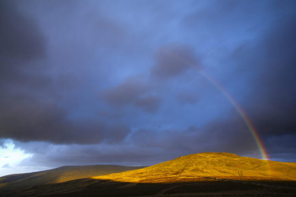
England, Northumberland, The Pennine Way. A rainbow above the Schil on the England / Scottish Border.
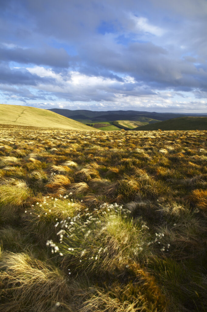
Scotland Scottish Borders The Pennine Way Cotton grass on moorland near the England Scotland border close to the Schil.
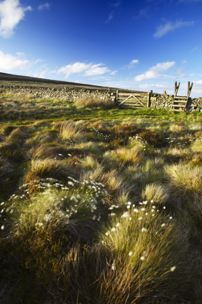
Scotland Scottish Borders The Pennine Way Cotton grass on moorland near the England Scotland border close to the Schil.
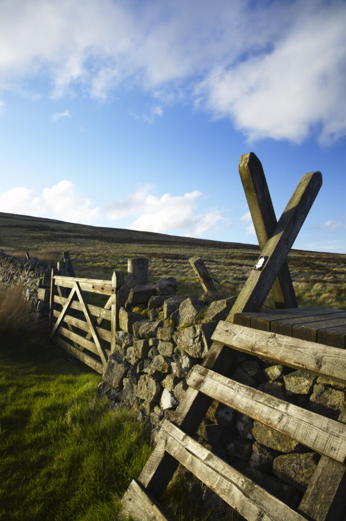
Scotland Scottish Borders The Pennine Way Ladder Stile over a wall marking the England Scotland border near the Schil.
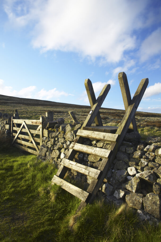
Scotland Scottish Borders The Pennine Way Ladder Stile over a wall marking the England Scotland border near the Schil.
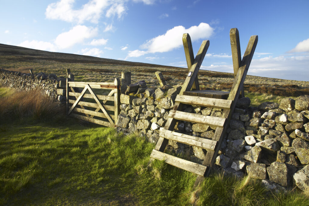
Scotland Scottish Borders The Pennine Way Ladder Stile over a wall marking the England Scotland border near the Schil.
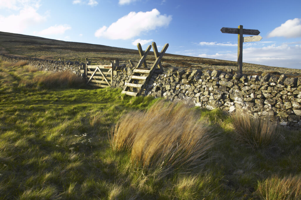
Scotland Scottish Borders The Pennine Way Ladder Stile over a wall marking the England Scotland border near the Schil.
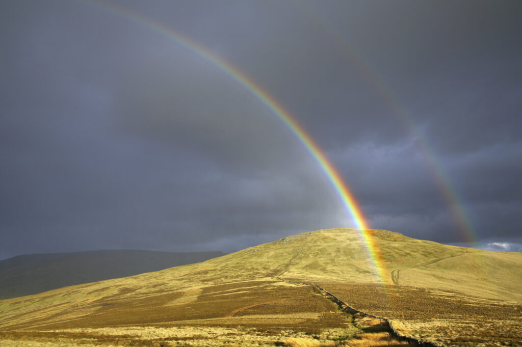
England, Northumberland, The Pennine Way. A rainbow above the Schil on the England / Scottish Border.
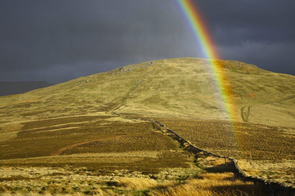
England, Northumberland, The Pennine Way. A rainbow above the Schil on the England / Scottish Border.
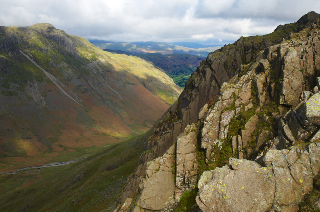
England, Cumbria, Lake District National Park. View looking down the Mickleden into the Great Langdale Valley near Dungeon Ghyll
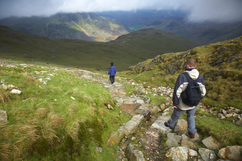
England, Cumbria, Lake District National Park. Hikers descending from tarn towards Dungeon Ghyll in the Great Langdale Valley
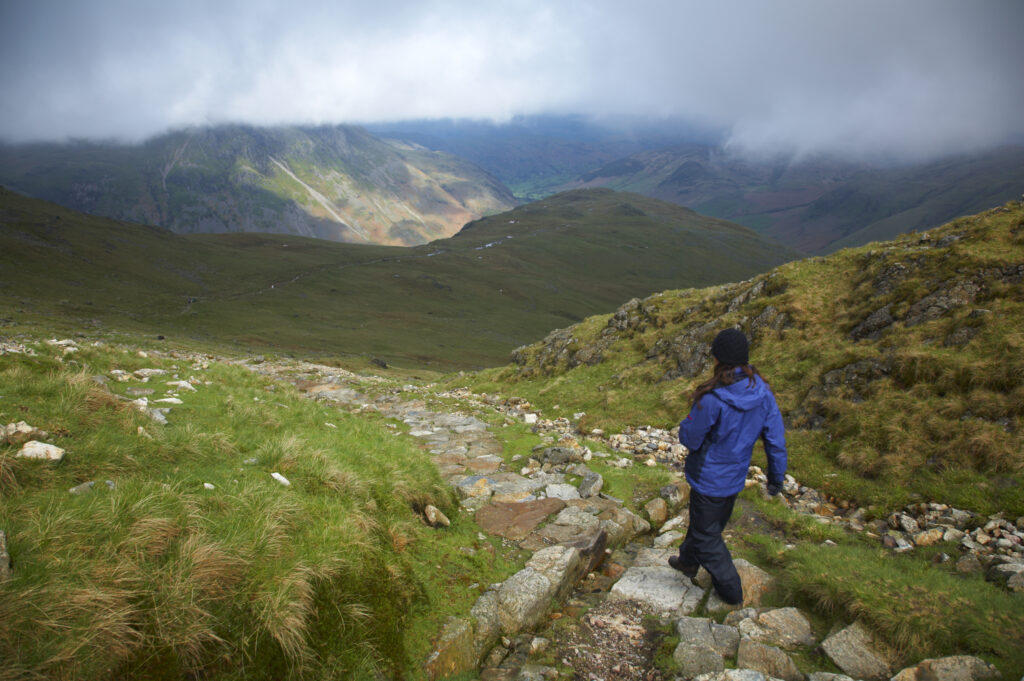
England, Cumbria, Lake District National Park. Hiker descending from tarn towards Dungeon Ghyll in the Great Langdale Valley
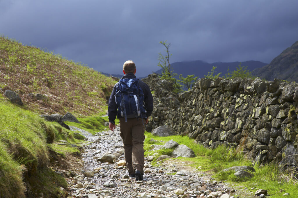
England, Cumbria, Lake District National Park. A hiker walking along the Cumbria Way near Chapel Stile, heading towards Dungeon Ghyll and the Langdale Mountains.
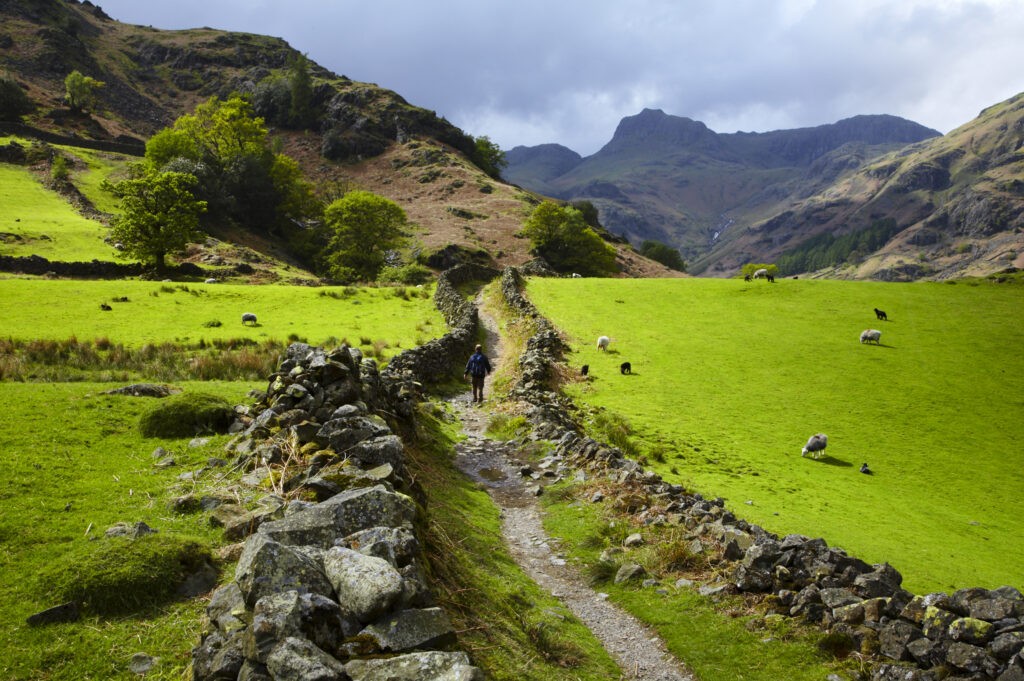
England, Cumbria, Lake District National Park. A hiker walking along the Cumbria Way near Chapel Stile, heading towards Dungeon Ghyll and the Langdale Mountains.
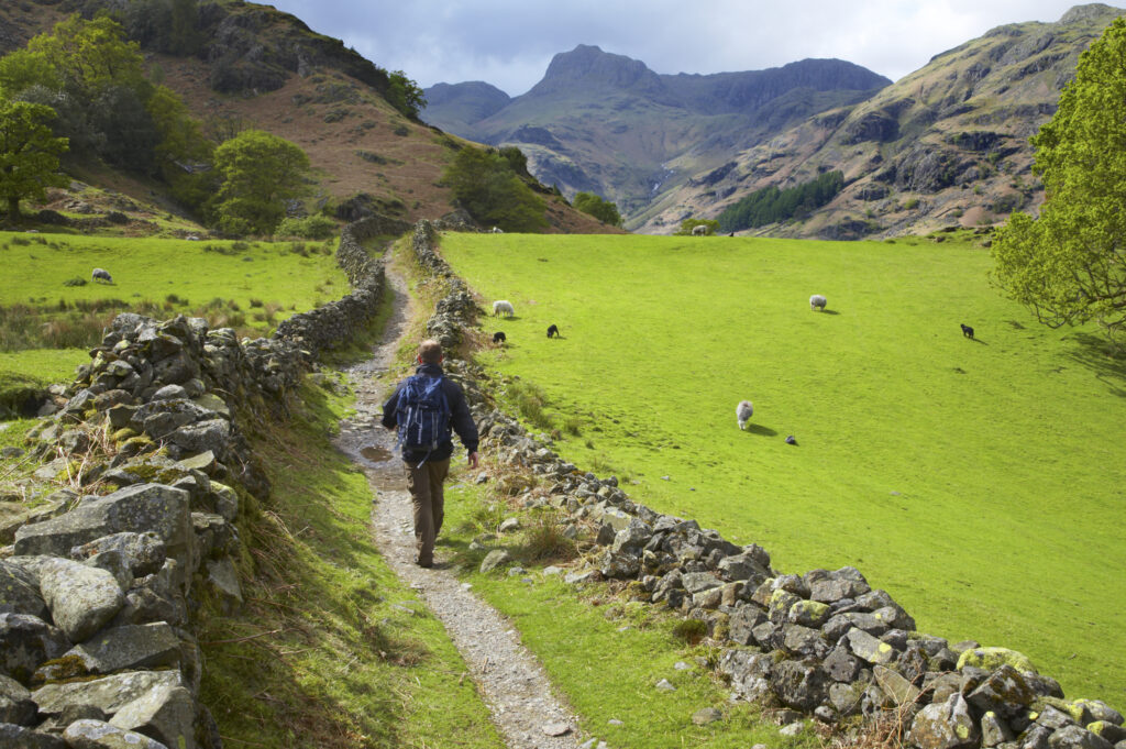
England, Cumbria, Lake District National Park. A hiker walking along the Cumbria Way near Chapel Stile, heading towards Dungeon Ghyll and the Langdale Mountains.
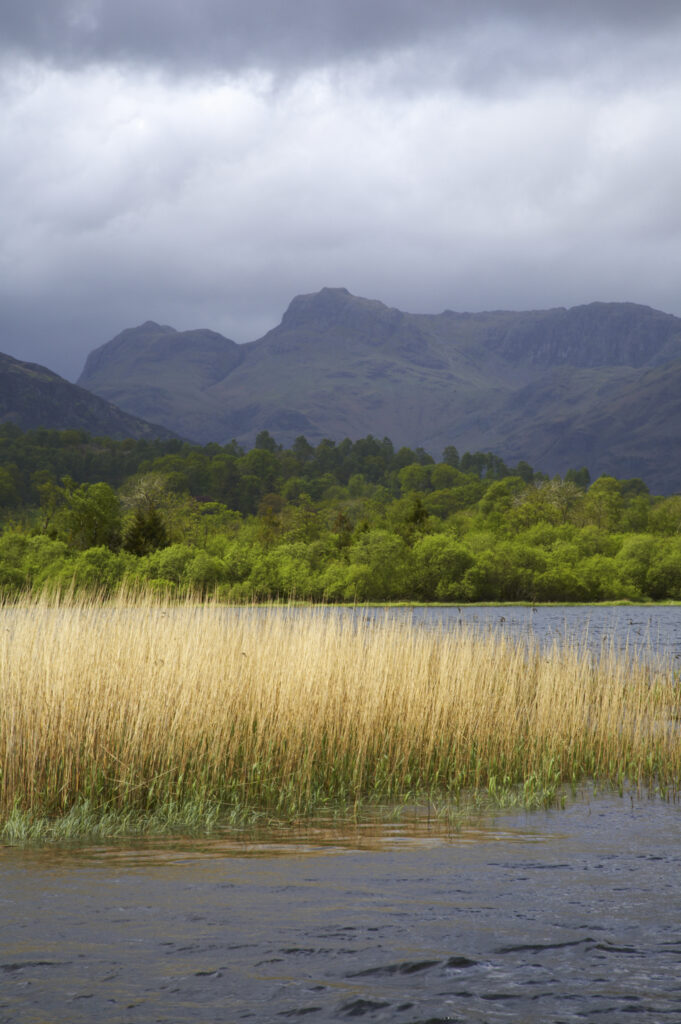
England, Cumbria, The Lake District National Park. Reeds in the still waters of Lake Elterwater with the Langdale mountains in the distance.
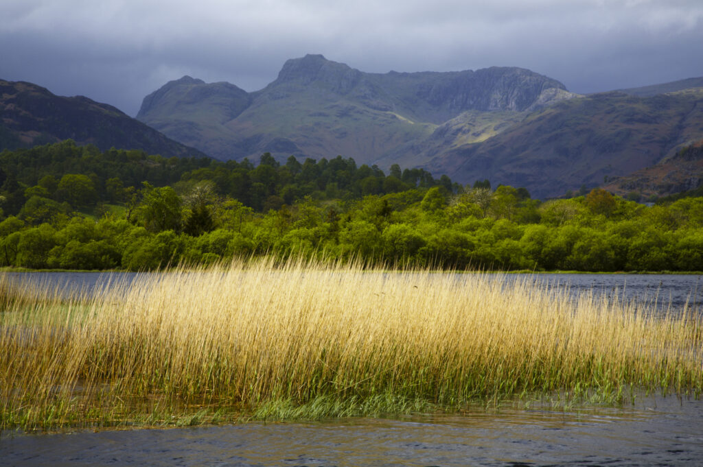
England, Cumbria, The Lake District National Park. Reeds in the still waters of Lake Elterwater with the Langdale mountains in the distance.
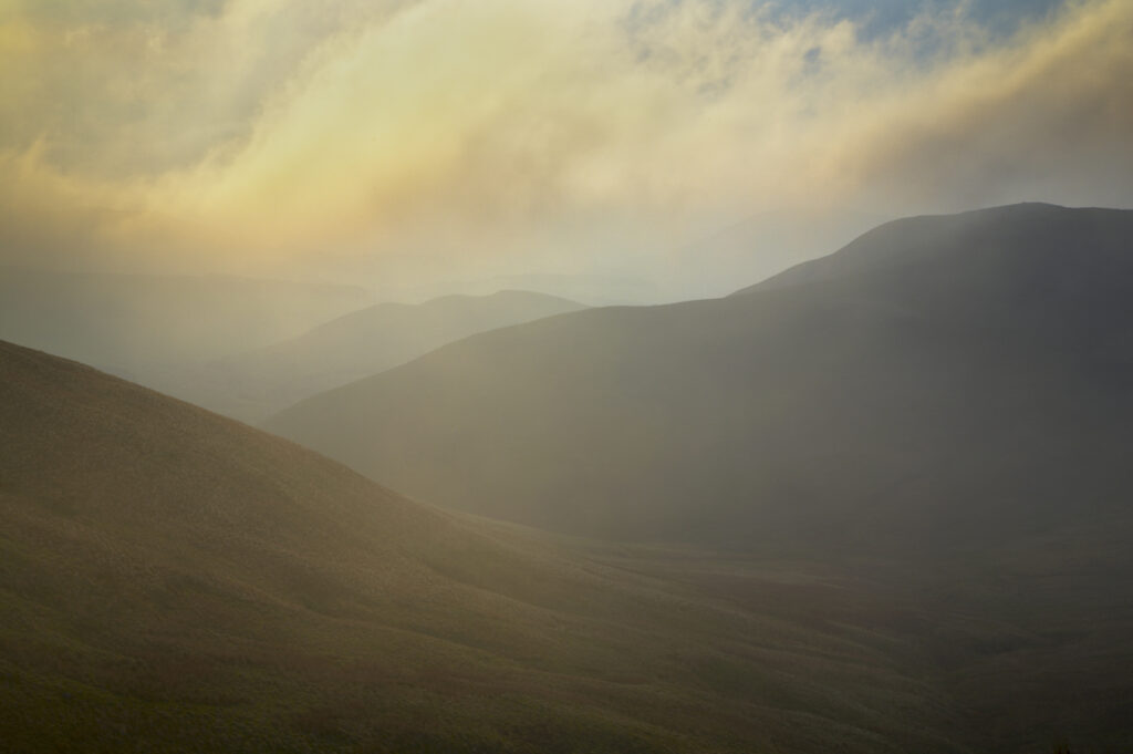
Scotland, Scottish Borders, The Pennine Way. Mist begins to shroud the rolling hills of the Scottish Uplands, viewed from the low level route of the Pennine Way near Kirk Yetholm.
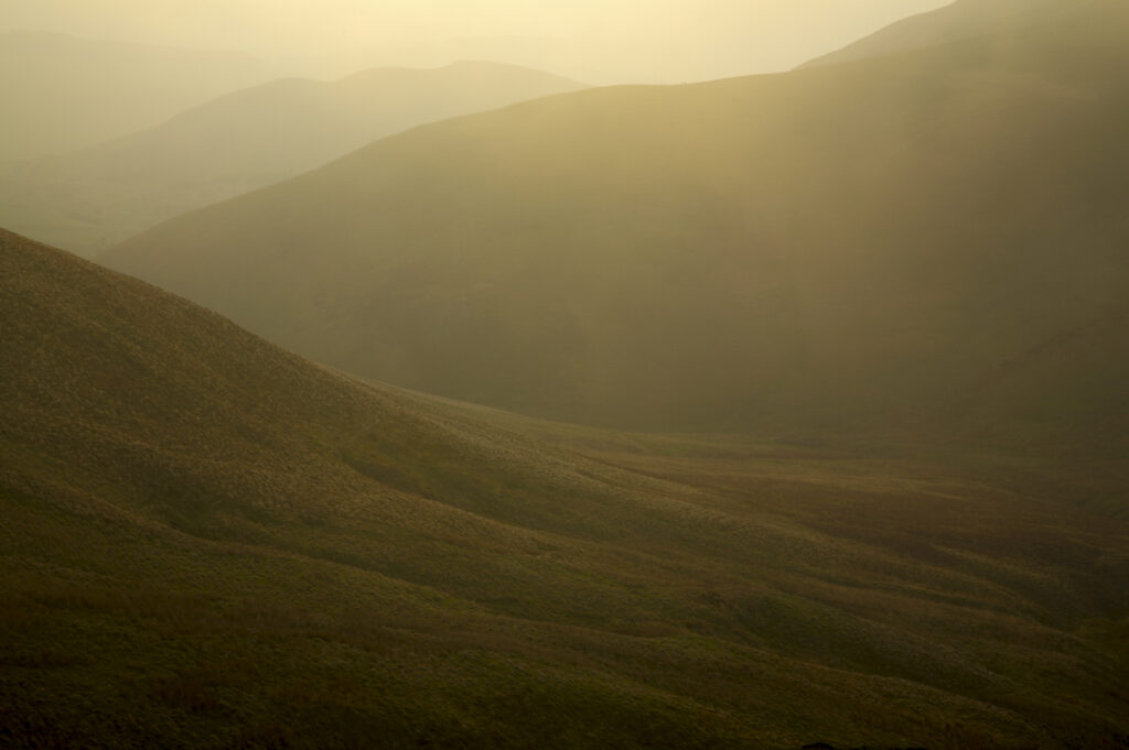
Scotland, Scottish Borders, The Pennine Way. Mist begins to shroud the rolling hills of the Scottish Uplands, viewed from the low level route of the Pennine Way near Kirk Yetholm.
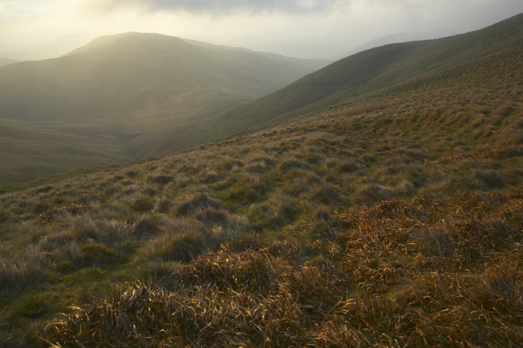
Scotland, Scottish Borders, The Pennine Way. Mist begins to shroud the rolling hills of the Scottish Uplands, viewed from the low level route of the Pennine Way near Kirk Yetholm.
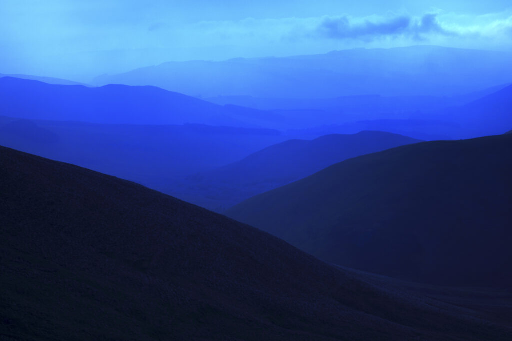
Scotland, Scottish Borders, The Pennine Way. Mist shrouds the rolling hills of the Scottish Uplands, viewed from the low level route of the Pennine Way near Kirk Yetholm.
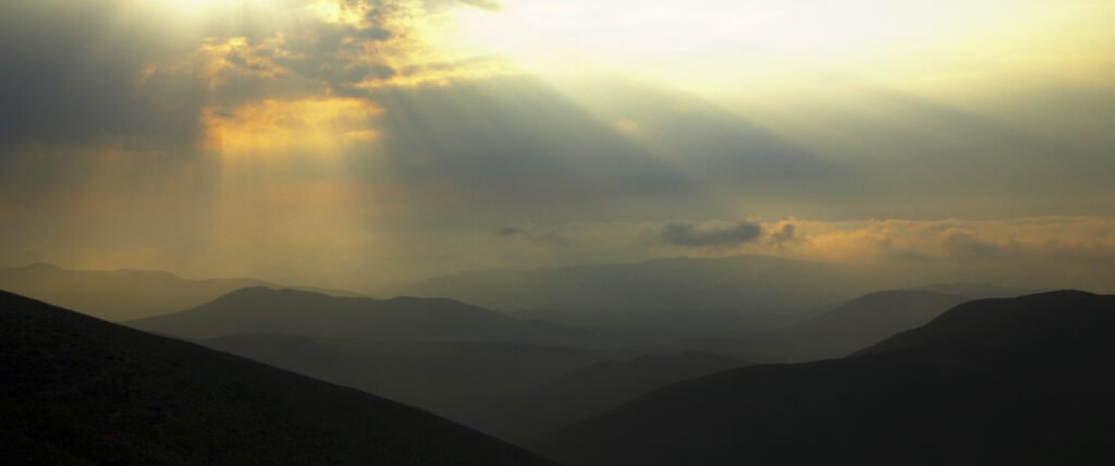
Scotland, Scottish Borders, The Pennine Way. Dramatic light breaking through clouds above the Scottish Uplands, viewed from the low level route of the Pennine Way near Kirk Yetholm.
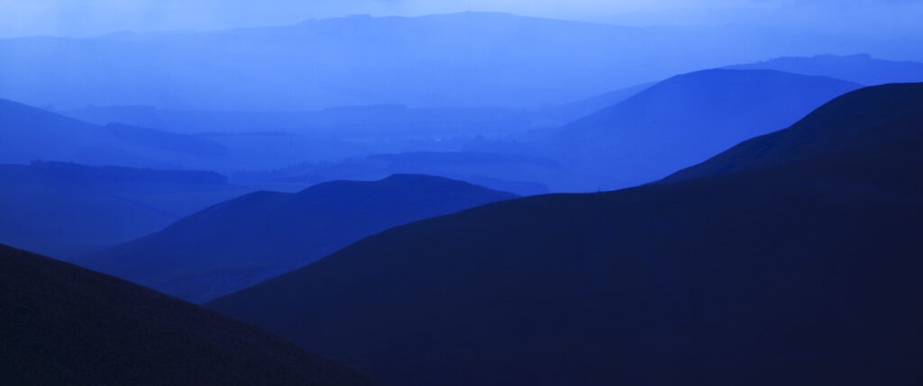
Scotland, Scottish Borders, The Pennine Way. Mist shrouds the rolling hills of the Scottish Uplands, viewed from the low level route of the Pennine Way near Kirk Yetholm.
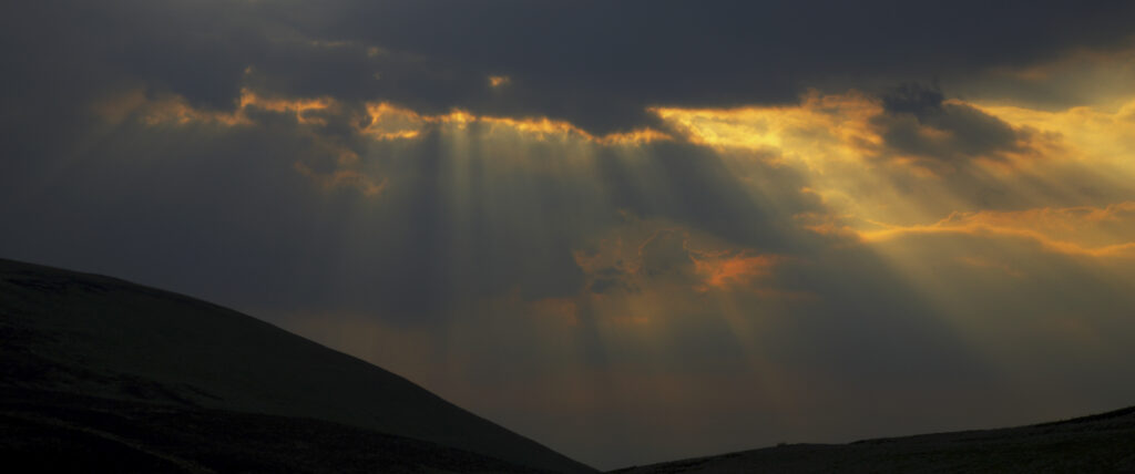
Scotland, Scottish Borders, The Pennine Way. Dramatic light breaking through clouds above the Scottish Uplands, viewed from the low level route of the Pennine Way near Kirk Yetholm.
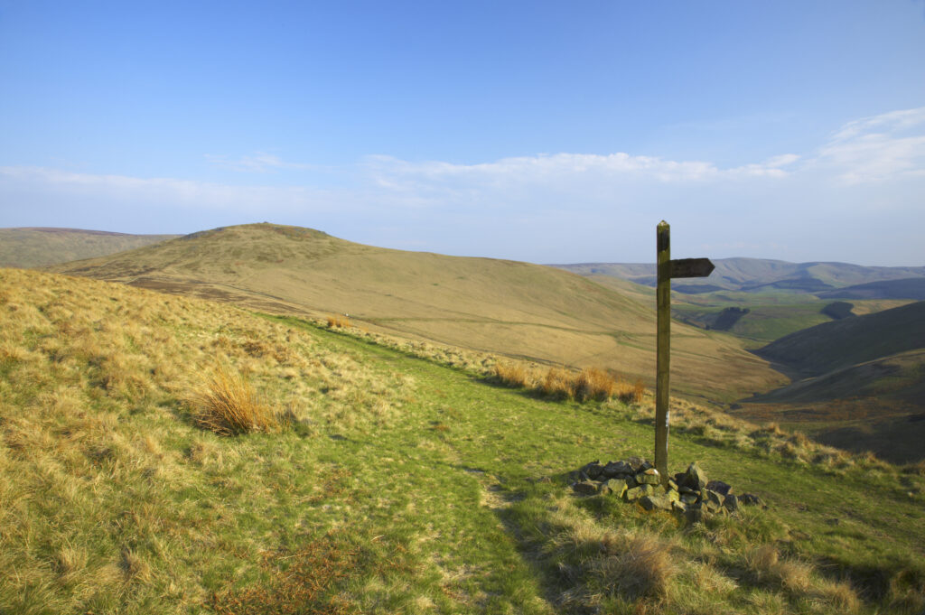
Scotland, Scottish Borders, The Pennine Way. The Pennine Way high level route meets the low level route heading towards Kirk Yetholm, with the Schil in the distance.
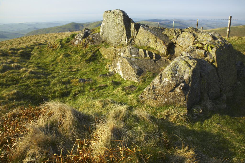
Scotland, Scottish Borders, The Pennine Way. The route of the Pennine Way high level route near Kirk Yetholm, following the double wire fence indicating the English / Scottish border.
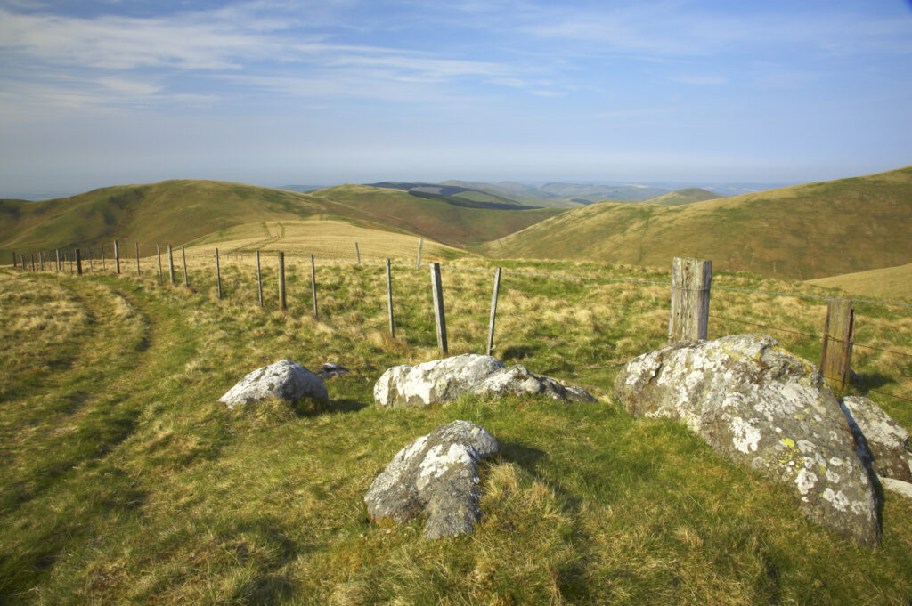
Scotland, Scottish Borders, The Pennine Way. The route of the Pennine Way high level route near Kirk Yetholm, following the double wire fence indicating the English / Scottish border.
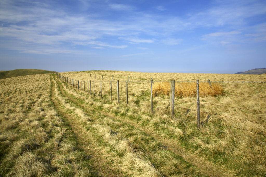
Scotland, Scottish Borders, The Pennine Way. The route of the Pennine Way high level route near Kirk Yetholm, following the double wire fence indicating the English / Scottish border.
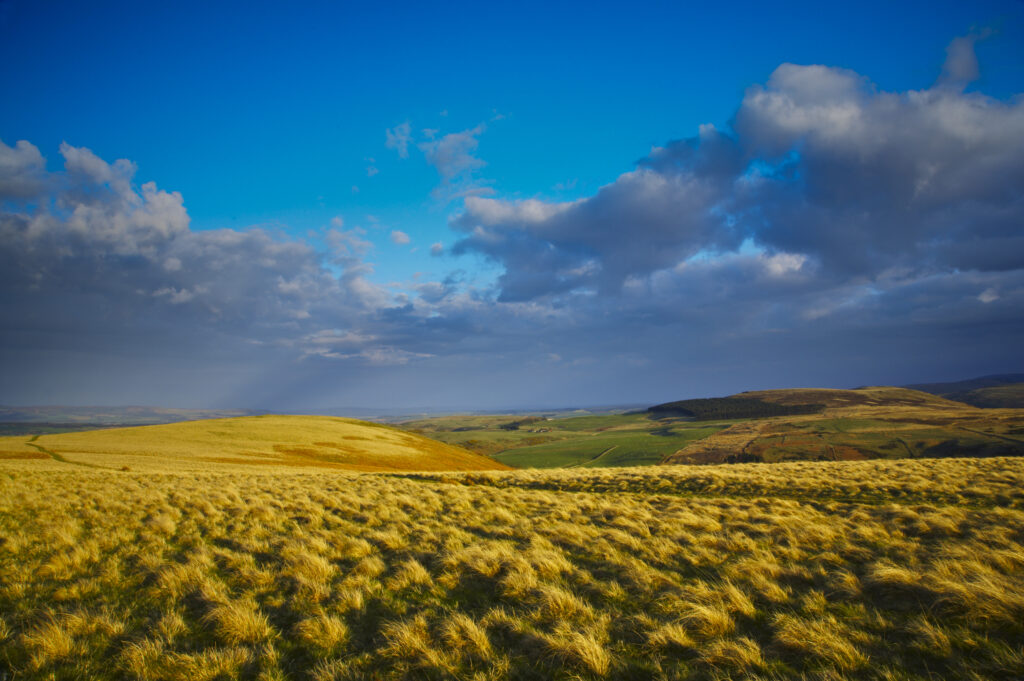
England, Northumberland, Northumberland National Park. The typical landscape encountered on the St Cuthberts way track nr Wooler
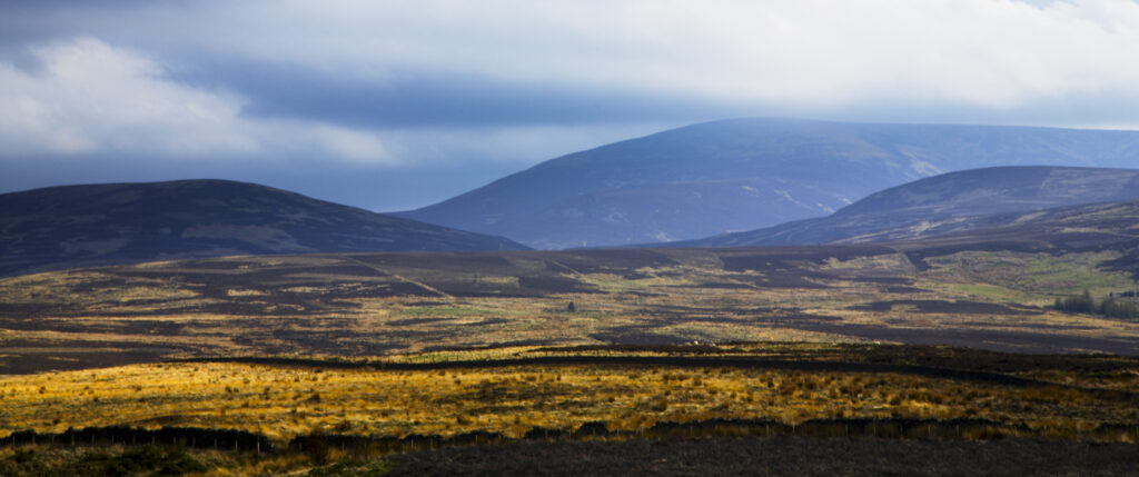
England, Northumberland, Northumberland National Park. The Cheviot and other typical landscape encountered on the St Cuthberts way track nr Wooler
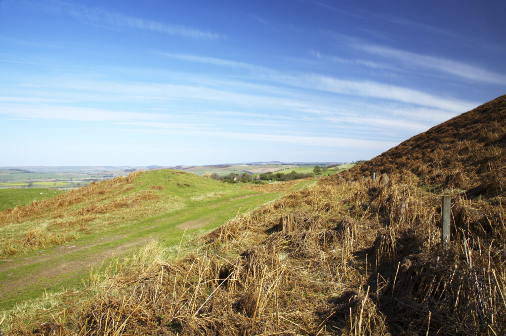
England, Northumberland, Northumberland National Park. Public footpath running through typical Northumberland scenery near Wooler
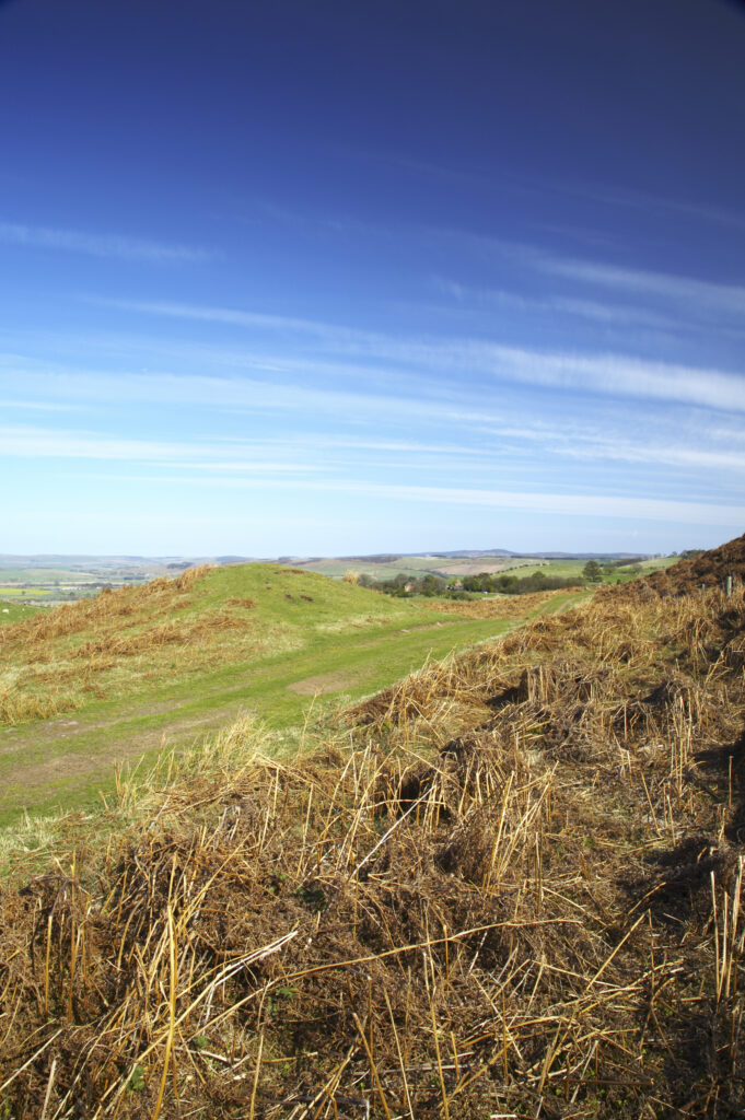
England, Northumberland, Northumberland National Park. Public footpath running through typical Northumberland scenery near Wooler
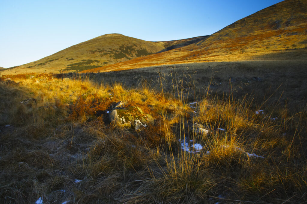
England, Northumberland, Northumberland National Park. The typical landscape encountered on the St Cuthberts way long distance track near Hethpool Mill as the track continues from the start of the College Valley to the town of wooler – the self proclaimed gateway to the cheviots and the Northumberland National Park
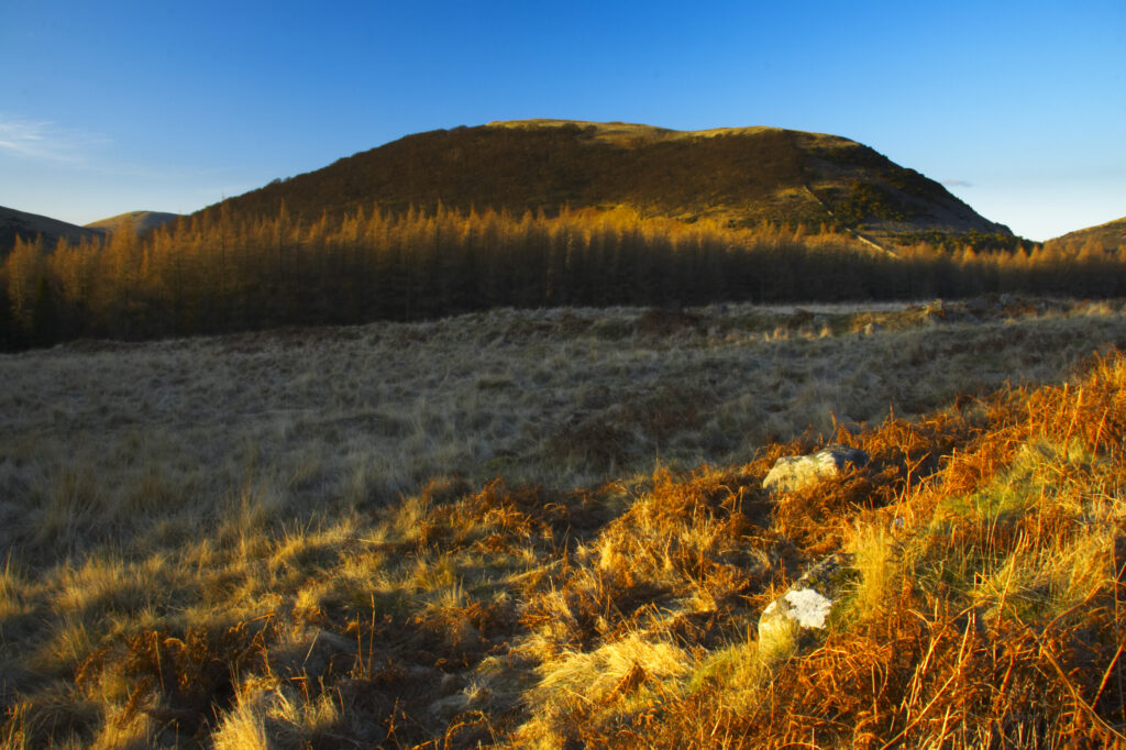
England, Northumberland, Northumberland National Park. The typical landscape encountered on the St Cuthberts way long distance track near Hethpool Mill as the track continues from the start of the College Valley to the town of wooler – the self proclaimed gateway to the cheviots and the Northumberland National Park
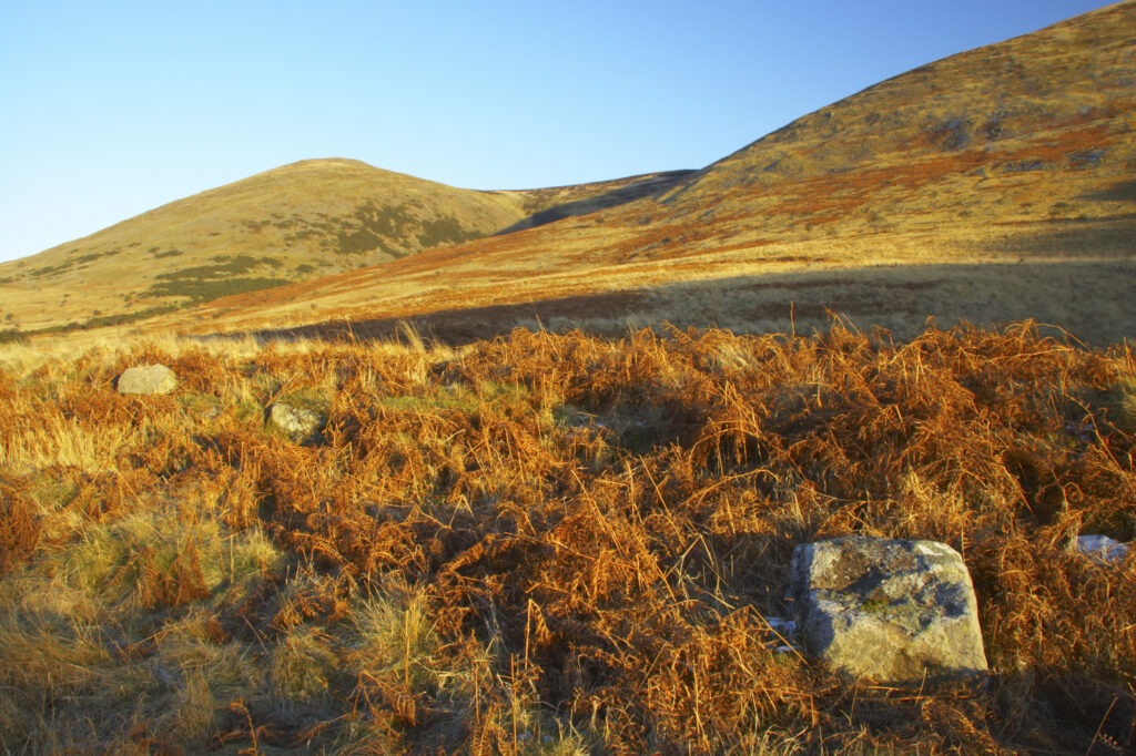
England, Northumberland, Northumberland National Park. The typical landscape encountered on the St Cuthberts way long distance track near Hethpool Mill as the track continues from the start of the College Valley to the town of wooler – the self proclaimed gateway to the cheviots and the Northumberland National Park
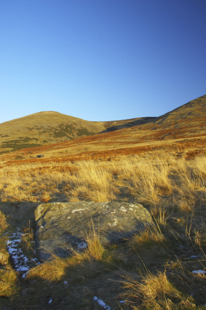
England, Northumberland, Northumberland National Park. The typical landscape encountered on the St Cuthberts way long distance track near Hethpool Mill as the track continues from the start of the College Valley to the town of wooler – the self proclaimed gateway to the cheviots and the Northumberland National Park
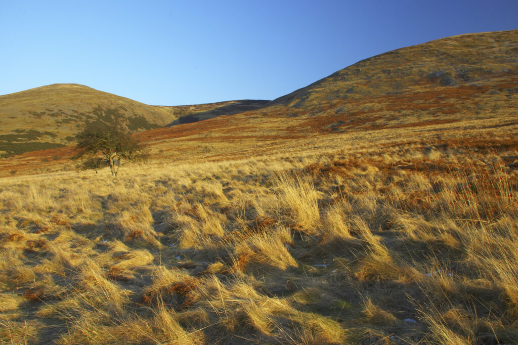
England, Northumberland, Northumberland National Park. The typical landscape encountered on the St Cuthberts way long distance track near Hethpool Mill as the track continues from the start of the College Valley to the town of wooler – the self proclaimed gateway to the cheviots and the Northumberland National Park
Favourites
Photofeed
