
Your search for “route” returned 146 images.
Clear Search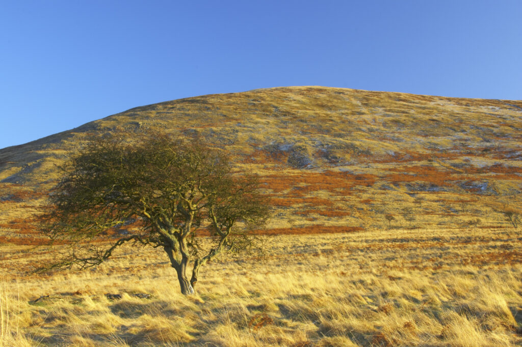
England, Northumberland, Northumberland National Park. The typical landscape encountered on the St Cuthberts way long distance track near Hethpool Mill as the track continues from the start of the College Valley to the town of wooler – the self proclaimed gateway to the cheviots and the Northumberland National Park
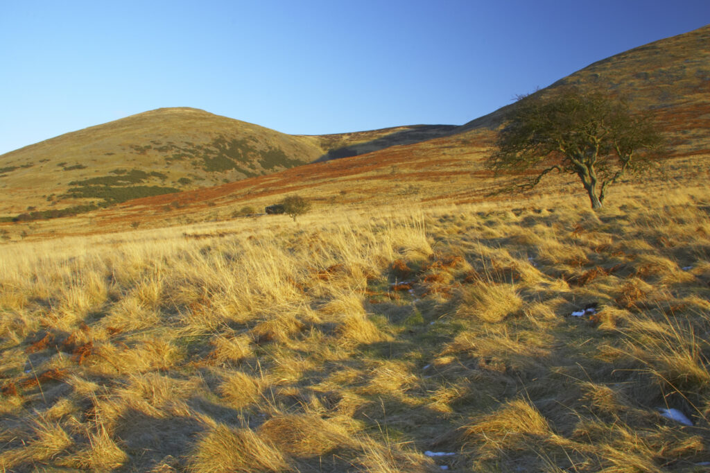
England, Northumberland, Northumberland National Park. The typical landscape encountered on the St Cuthberts way long distance track near Hethpool Mill as the track continues from the start of the College Valley to the town of wooler – the self proclaimed gateway to the cheviots and the Northumberland National Park
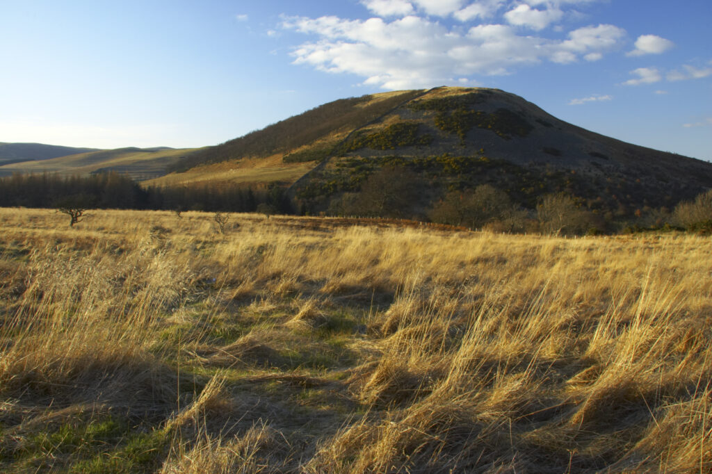
England, Northumberland, Northumberland National Park. The typical landscape encountered on the St Cuthberts way long distance track near Hethpool Mill as the track continues from the start of the College Valley to the town of wooler – the self proclaimed gateway to the cheviots and the Northumberland National Park
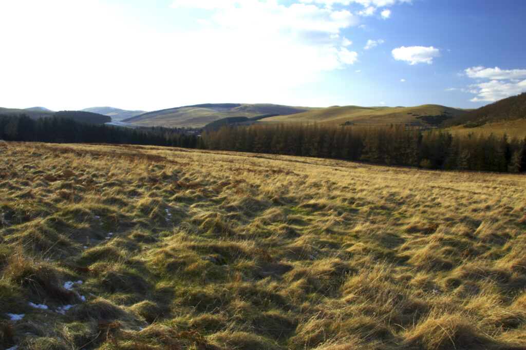
England, Northumberland, Northumberland National Park. The typical landscape encountered on the St Cuthberts way long distance track near Hethpool Mill as the track continues from the start of the College Valley to the town of wooler – the self proclaimed gateway to the cheviots and the Northumberland National Park
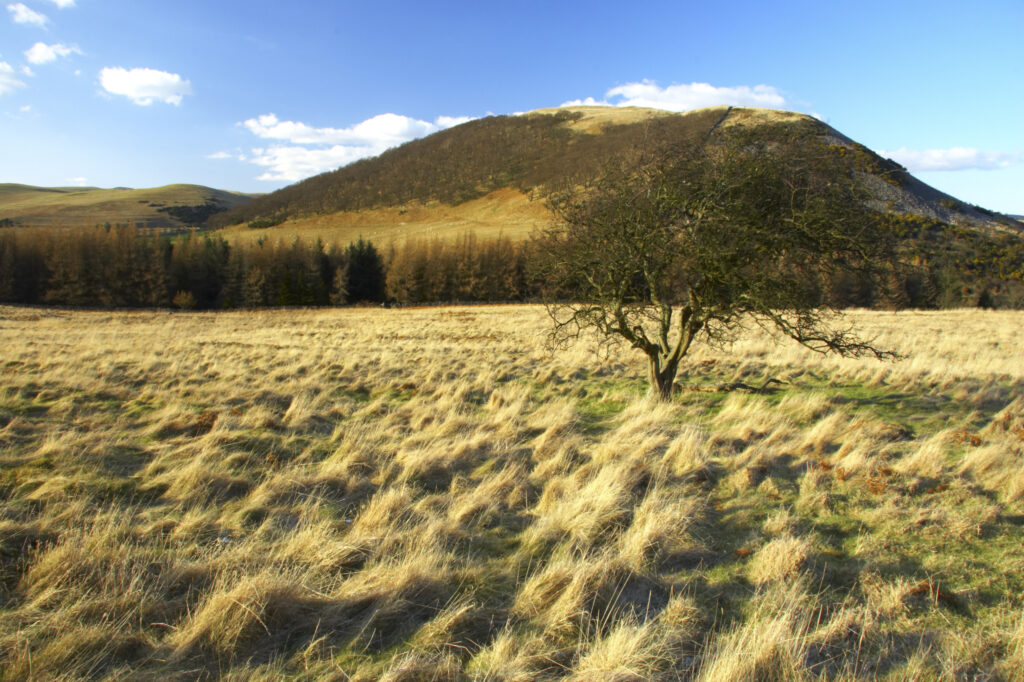
England, Northumberland, Northumberland National Park. The typical landscape encountered on the St Cuthberts way long distance track near Hethpool Mill as the track continues from the start of the College Valley to the town of wooler – the self proclaimed gateway to the cheviots and the Northumberland National Park
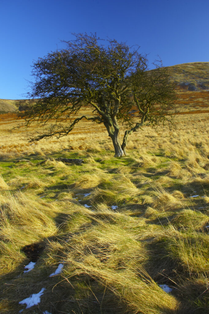
England, Northumberland, Northumberland National Park. The typical landscape encountered on the St Cuthberts way long distance track near Hethpool Mill as the track continues from the start of the College Valley to the town of wooler – the self proclaimed gateway to the cheviots and the Northumberland National Park
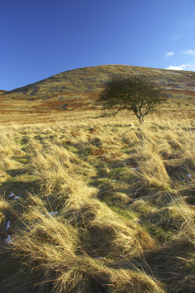
England, Northumberland, Northumberland National Park. The typical landscape encountered on the St Cuthberts way long distance track near Hethpool Mill as the track continues from the start of the College Valley to the town of wooler – the self proclaimed gateway to the cheviots and the Northumberland National Park
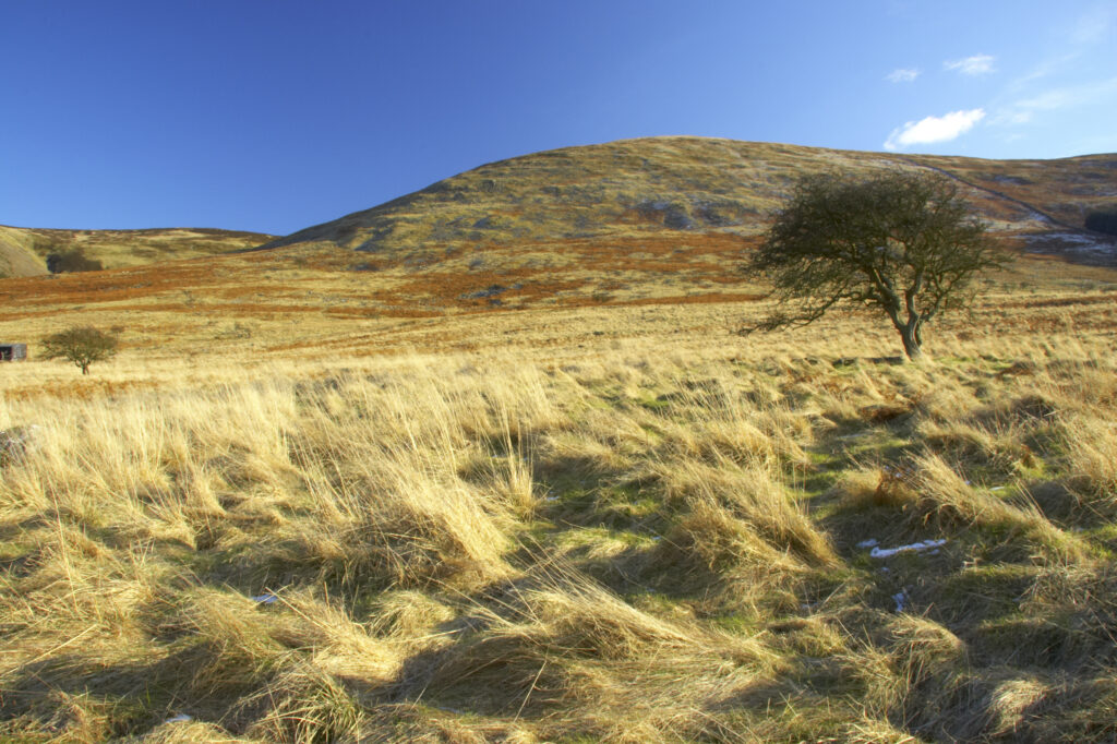
England, Northumberland, Northumberland National Park. The typical landscape encountered on the St Cuthberts way long distance track near Hethpool Mill as the track continues from the start of the College Valley to the town of wooler – the self proclaimed gateway to the cheviots and the Northumberland National Park
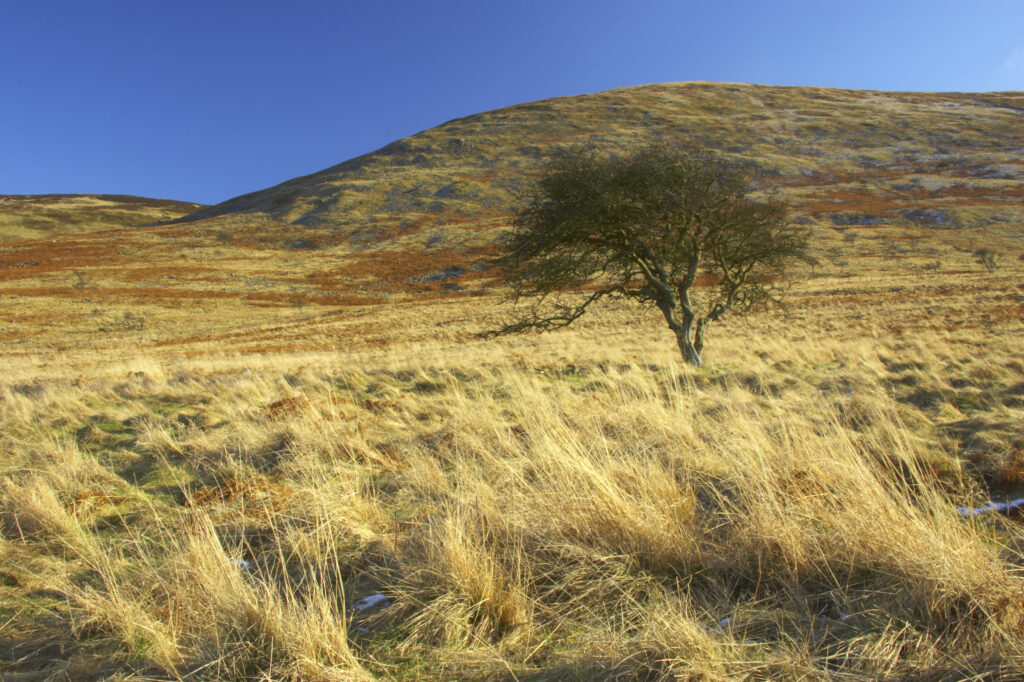
England, Northumberland, Northumberland National Park. The typical landscape encountered on the St Cuthberts way long distance track near Hethpool Mill as the track continues from the start of the College Valley to the town of wooler – the self proclaimed gateway to the cheviots and the Northumberland National Park
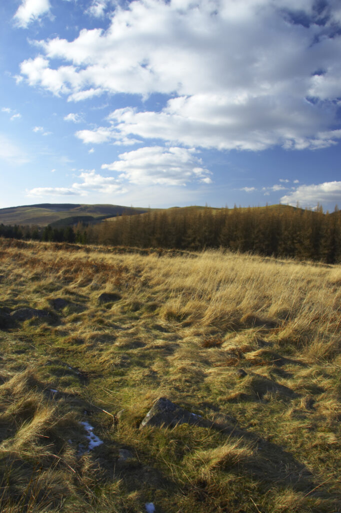
England, Northumberland, Northumberland National Park. The typical landscape encountered on the St Cuthberts way long distance track near Hethpool Mill as the track continues from the start of the College Valley to the town of wooler – the self proclaimed gateway to the cheviots and the Northumberland National Park
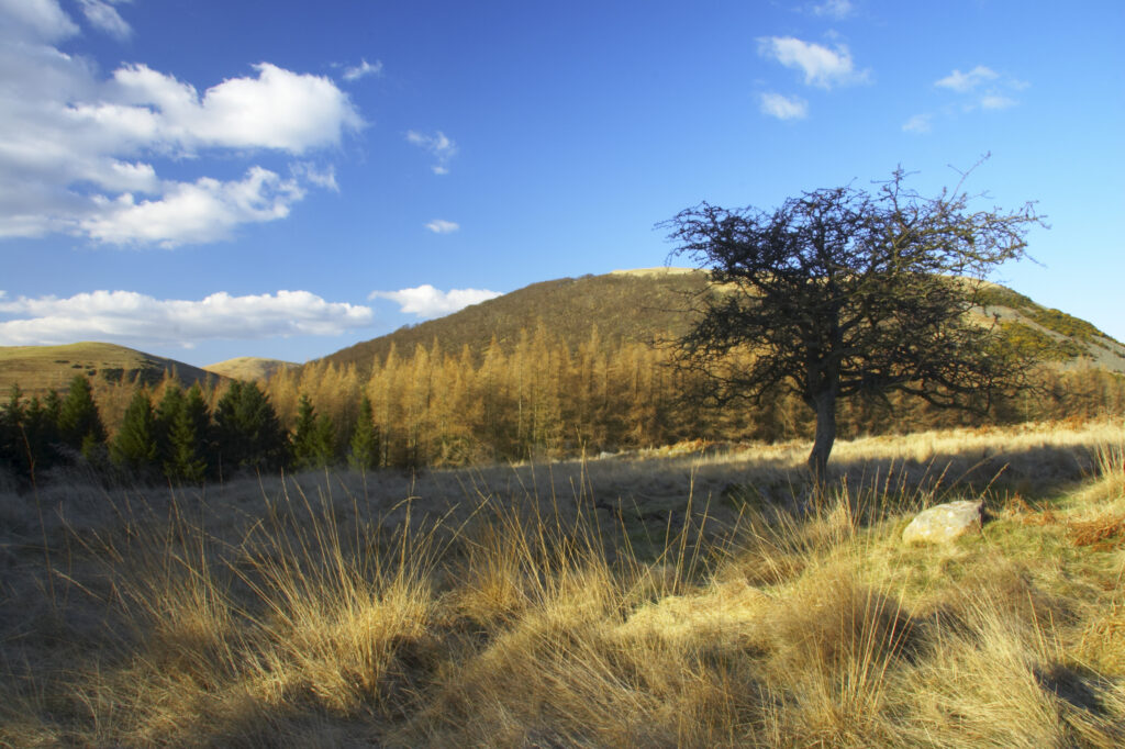
England, Northumberland, Northumberland National Park. The typical landscape encountered on the St Cuthberts way long distance track near Hethpool Mill as the track continues from the start of the College Valley to the town of wooler – the self proclaimed gateway to the cheviots and the Northumberland National Park
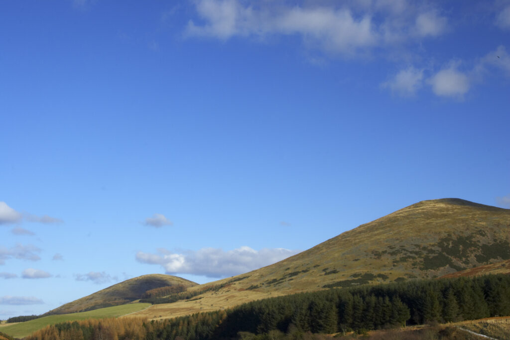
England, Northumberland, Northumberland National Park. The typical landscape encountered on the St Cuthberts way long distance track near Hethpool Mill as the track continues from the start of the College Valley to the town of wooler – the self proclaimed gateway to the cheviots and the Northumberland National Park
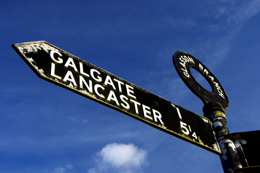
England, Lancashire, Galgate. Sign post indicating route of canal and towpath near Galgate and Lancaster.
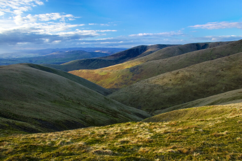
England, Cumbria, The Howgills. View looking over the underlating hills of the Howgills from a route heading from the Calf near Sedbergh.
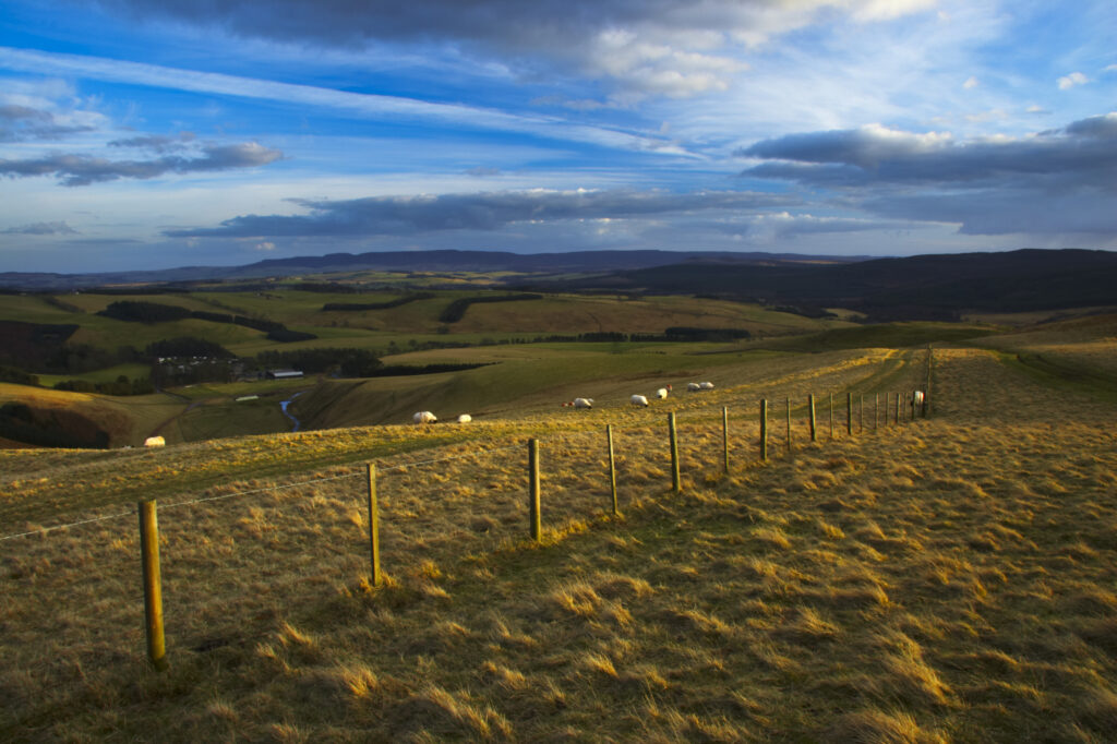
England, Northumberland, Northumberland National Park. A wire fencel running alongside the historic Clennell Steet route, as it heads towards Alwinton and the Coquetdale Valley.
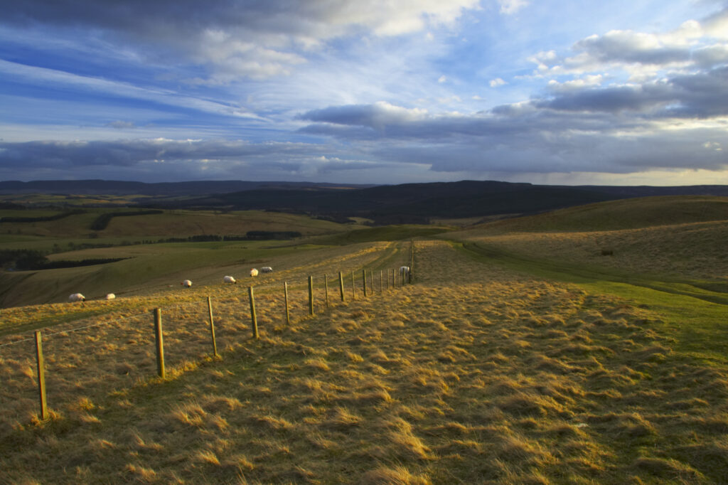
England, Northumberland, Northumberland National Park. A wire fencel running alongside the historic Clennell Steet route, as it heads towards Alwinton and the Coquetdale Valley.
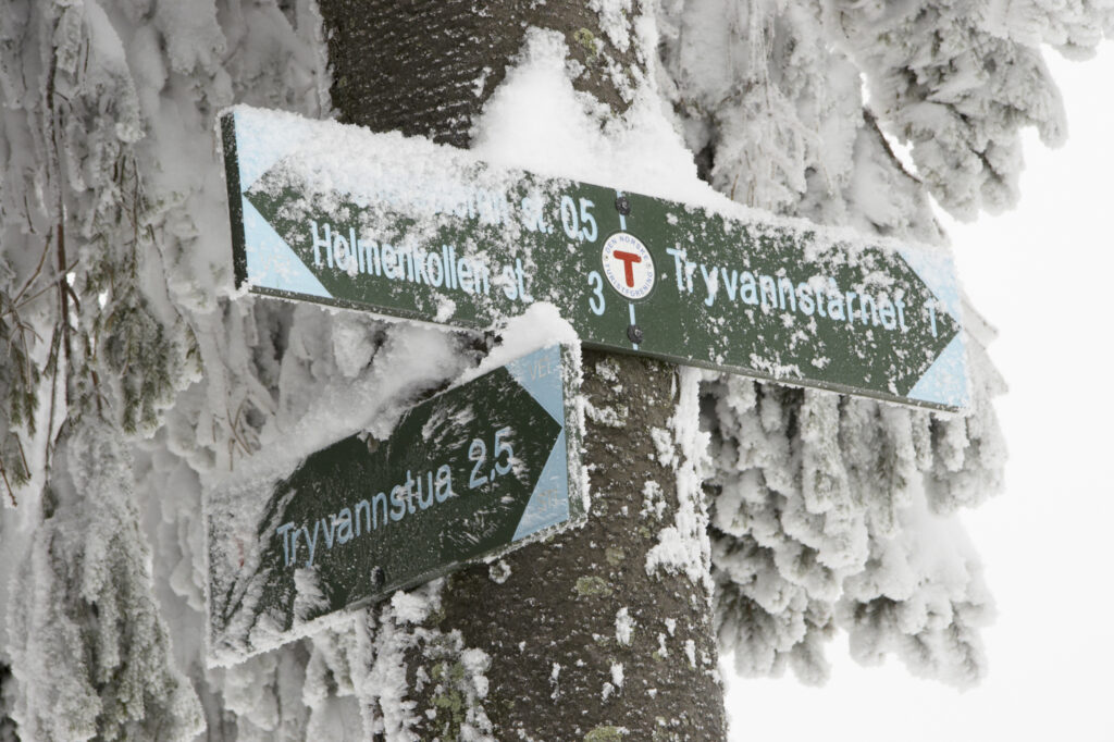
Norway, Oslo, Holmenkollen. A snow covered route direction sign found in the Holmenkollen area near to the Tryvann Ski-field.
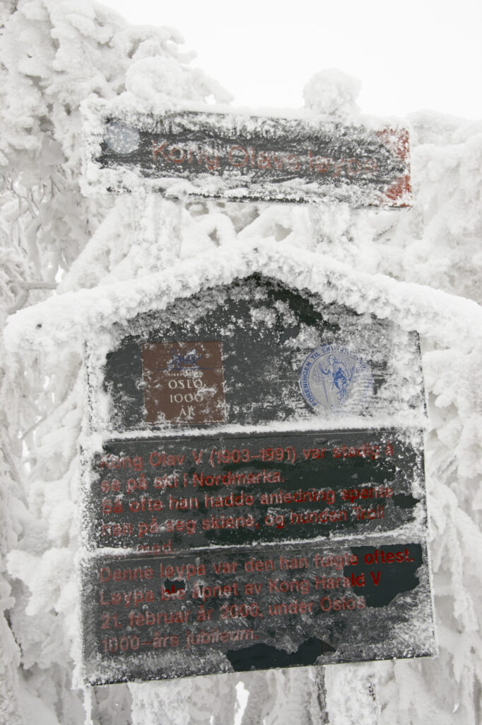
Norway, Oslo, Holmenkollen. A snow covered route direction sign found in the Holmenkollen area near to the Tryvann Ski-field.
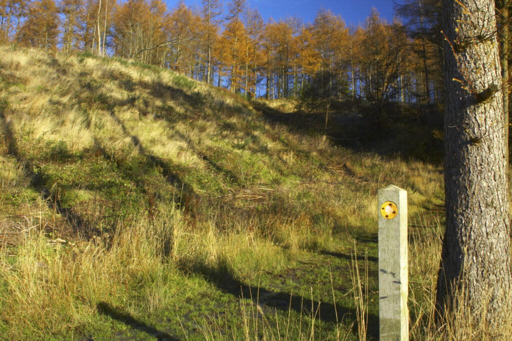
England, Cumbria, Caldbeck. Sign indicating the route towards Parsons Park Wood.
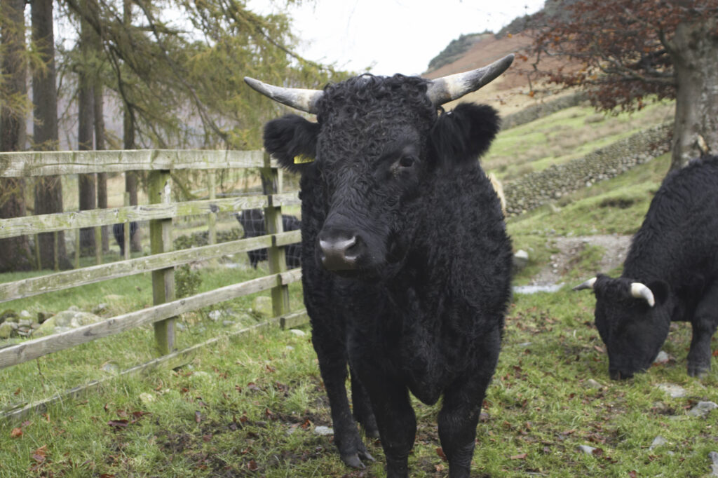
England, Cumbria, Lake District National Park. Farm cattle in a field near Dungeon Ghyl, along the Cumbria Way long distance route.
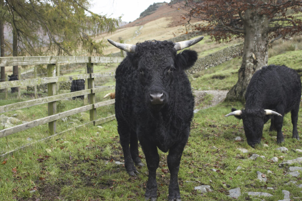
England, Cumbria, Lake District National Park. Farm cattle in a field near Dungeon Ghyl, along the Cumbria Way long distance route.
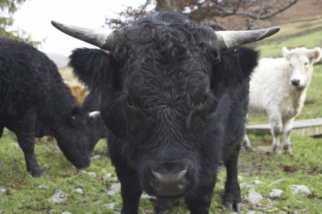
England, Cumbria, Lake District National Park. Farm cattle in a field near Dungeon Ghyl, along the Cumbria Way long distance route.
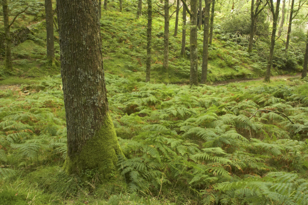
England, Cumbria, Lake District National Park. The summer colours of fern and forest in Colwith Woods, along the Cumbria Way long distance route.
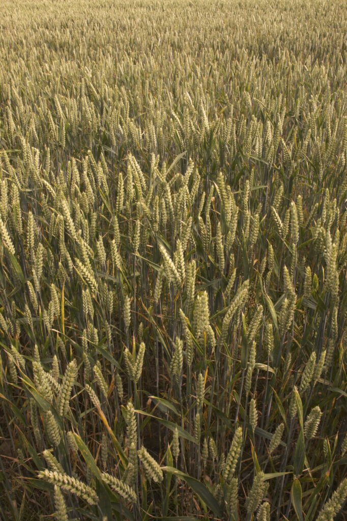
England, Cumbria. A close up view of farmers crops in a field near Bog Bridge, along the Cumbria Way long distance route
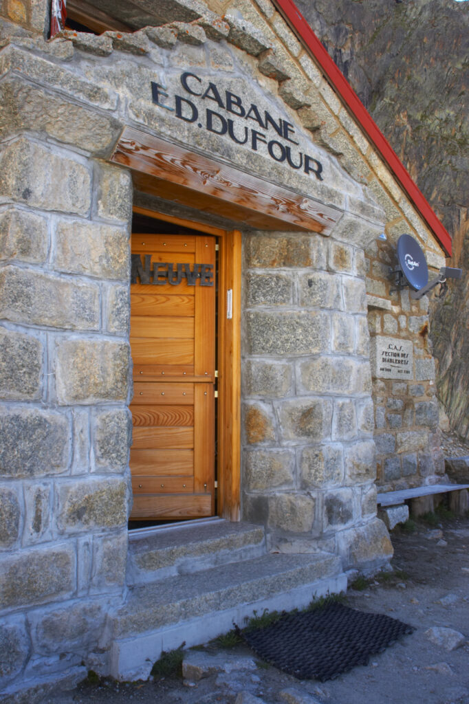
Switzerland Valais Val Ferret. The Cabane de l'A Neuve mountain hut also known as cabane dufour 2735m, 8973ft
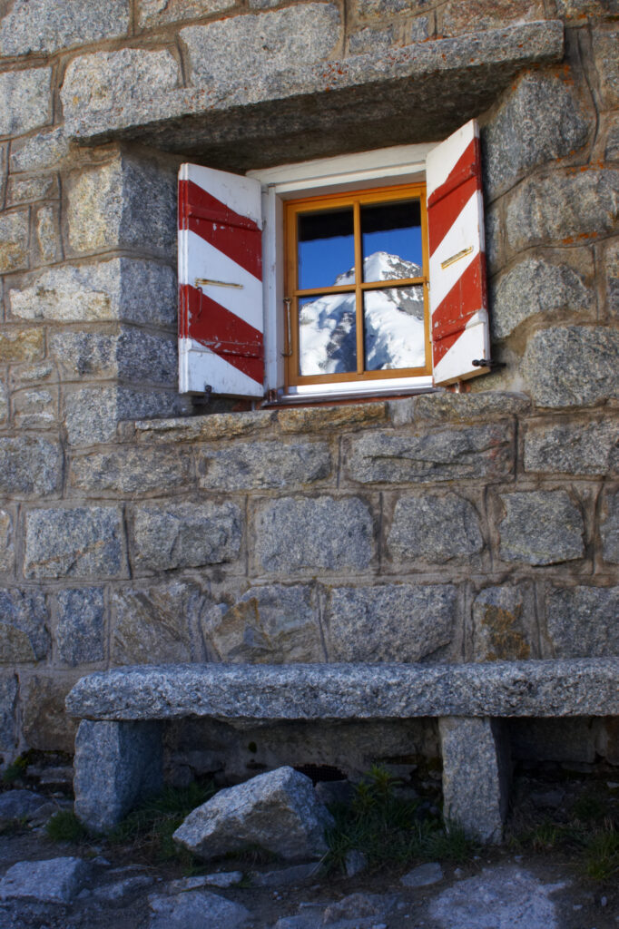
Switzerland Valais Val Ferret. Mountains reflected in the windows of the Cabane de l'A Neuve mountain refuge
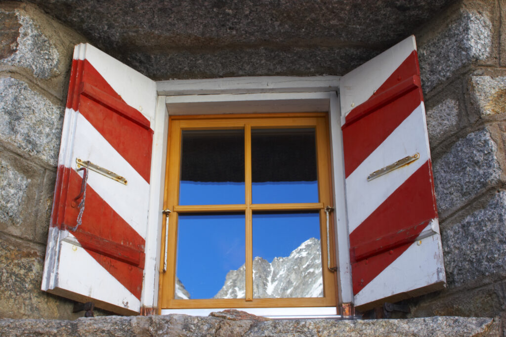
Switzerland Valais Val Ferret. Mountains reflected in the windows of the Cabane de l'A Neuve mountain refuge
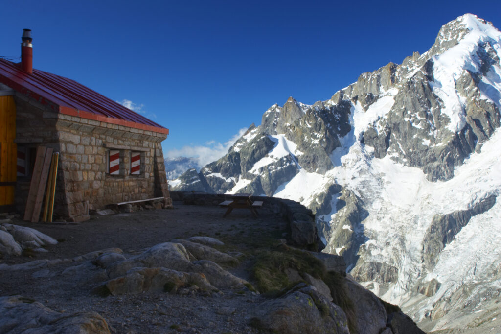
Switzerland Valais Val Ferret. The Cabane de l'A Neuve mountain hut also known as cabane dufour 2735m, 8973ft
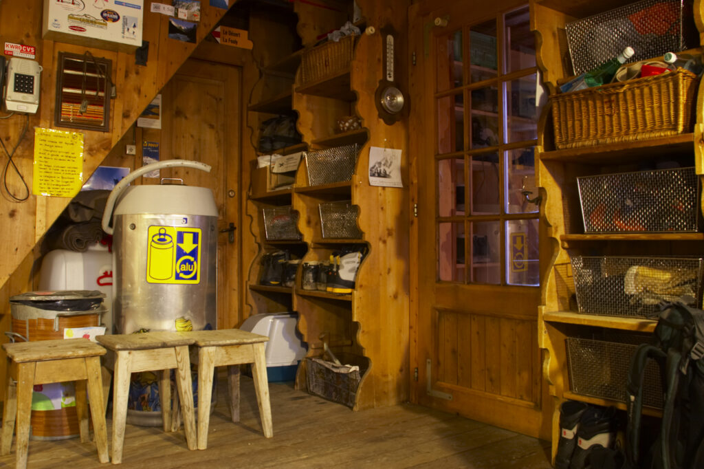
Switzerland Valais Val Ferret. The interior of the Cabane de l'A Neuve 2735m, 8973ft mountain hut also known as cabane dufour
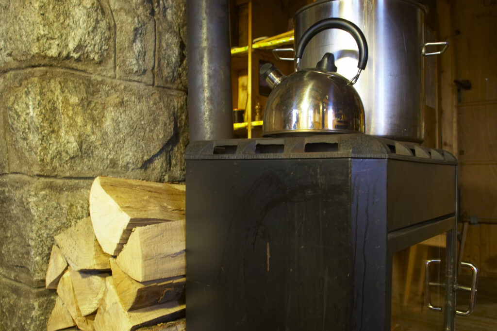
Switzerland Valais Val Ferret. The interior of the Cabane de l'A Neuve 2735m, 8973ft mountain hut also known as cabane dufour
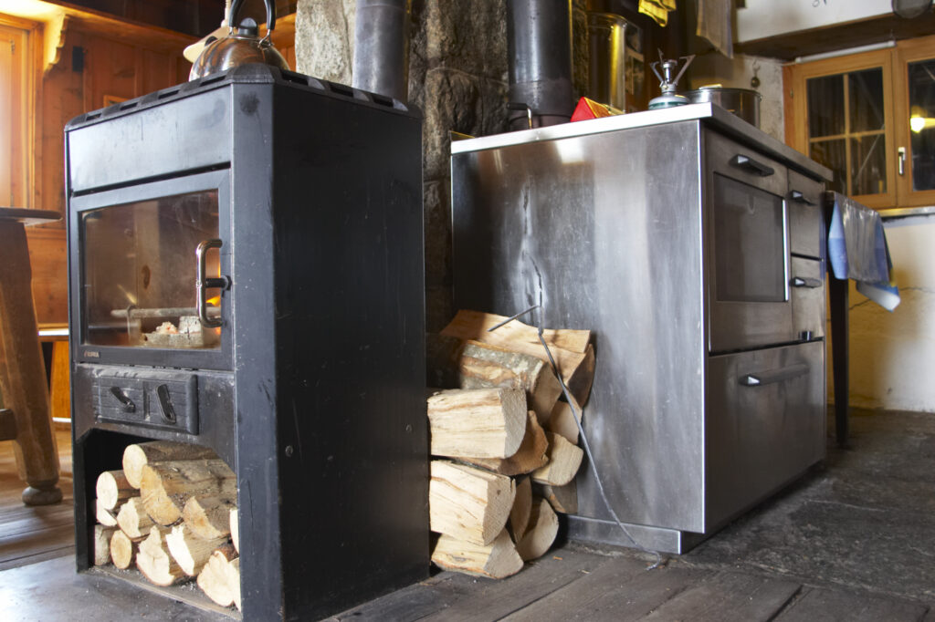
Switzerland Valais Val Ferret. The interior of the Cabane de l'A Neuve 2735m, 8973ft mountain hut also known as cabane dufour
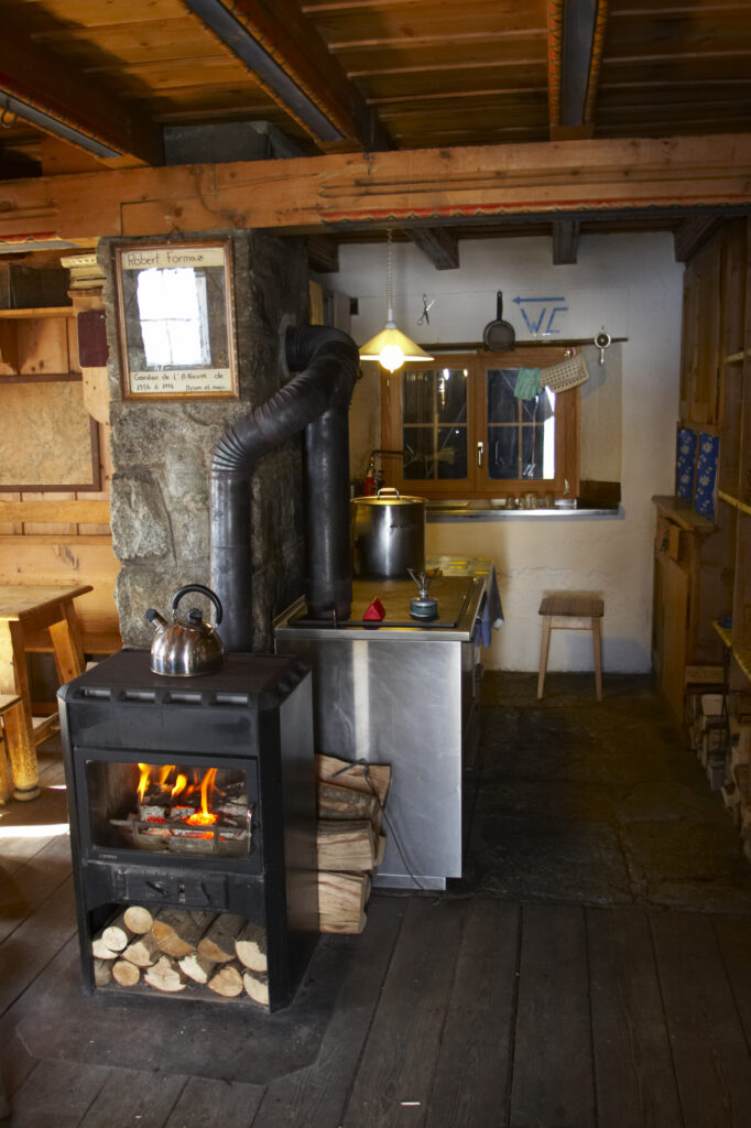
Switzerland Valais Val Ferret. The interior of the Cabane de l'A Neuve 2735m, 8973ft mountain hut also known as cabane dufour
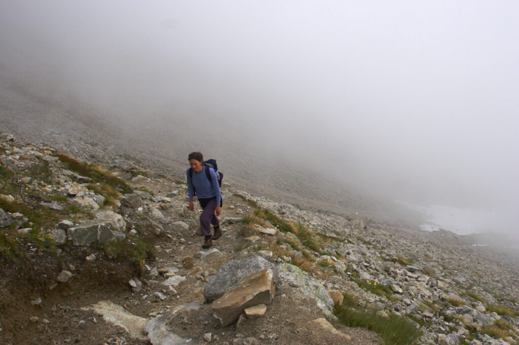
Switzerland Valais Val d Arpette A female hiker heading along the route from La Breya towards Orny near the popular Champex town
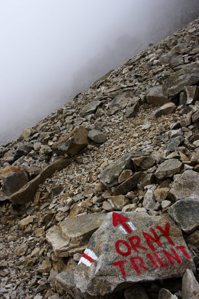
Switzerland Valais Val d Arpette A painted stone indicates the route from La Breya towards Orny near the popular Champex.
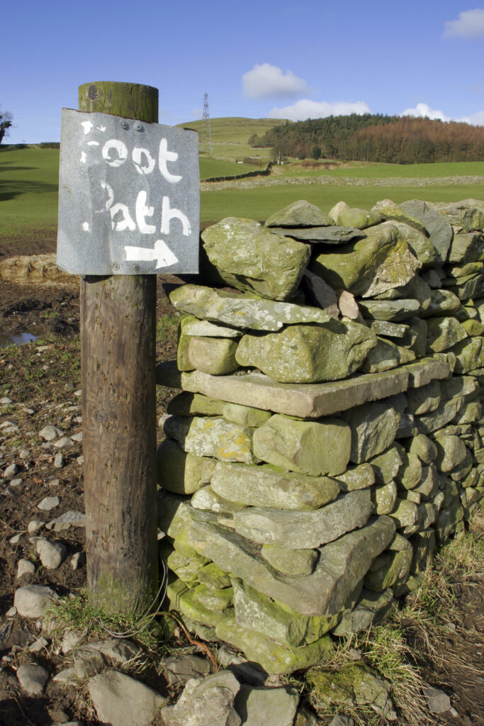
ENGLAND, Cumbria, Ulverston. Foot path sign and dry stone wall on route to Old Hall Farm, on the Cumbria Way
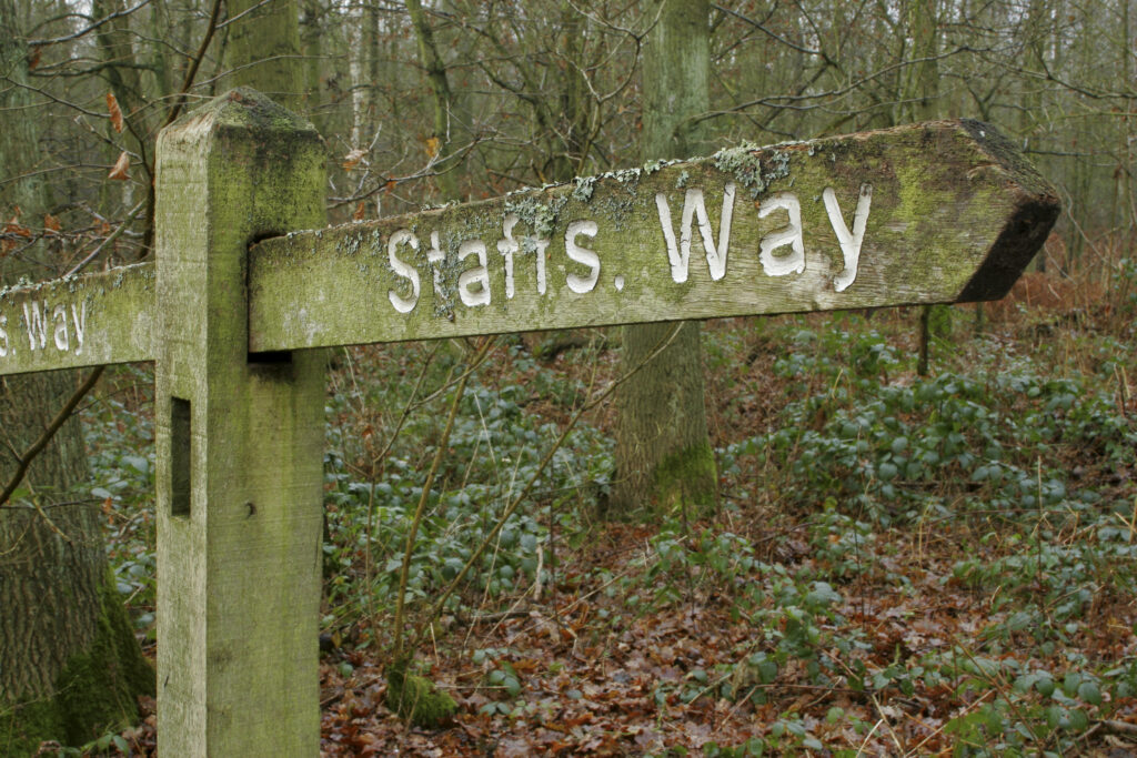
England, West Midlands, Highgate Common. A public footpath sign indicating the route of the Staffordshire Way
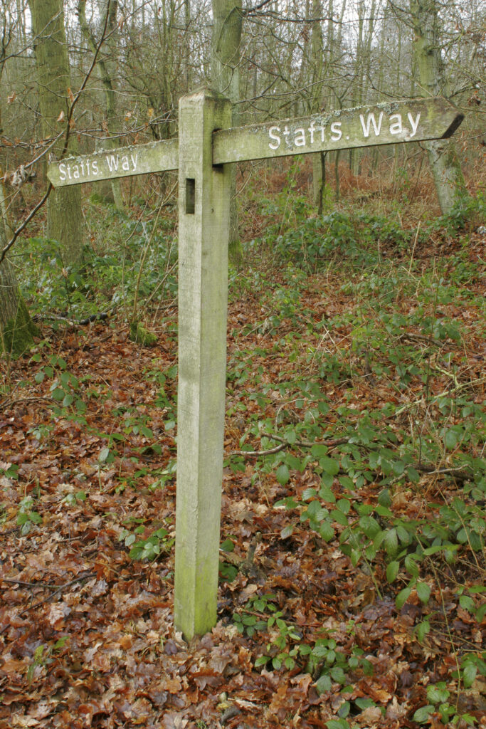
England, West Midlands, Highgate Common. A public footpath sign indicating the route of the Staffordshire Way
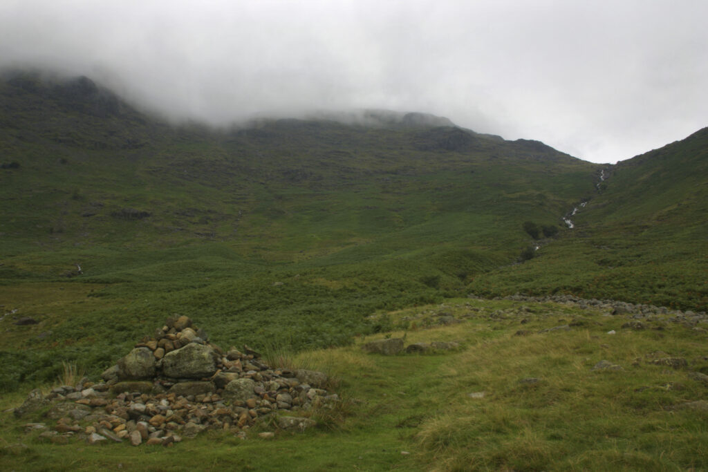
ENGLAND, Cumbria, Lake District National Park. A cairn marks the route near the fast flowing waters of the Stake Gill flowing from Stake Pass near Langdale, on the Cumbria Way.
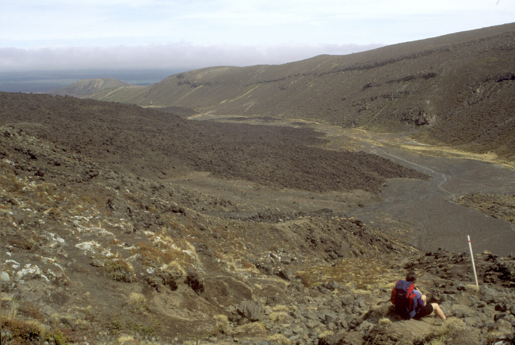
NEW ZEALAND, Central Plateau, Tongariro National Park. Tramper looking back towards the route hiked on the Tongariro Crossing Track.
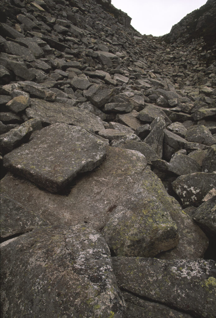
SCOTLAND, Scottish Highlands, Cairngorm National Park. The huge boulders of a hiking route through the Chalamain Gap.
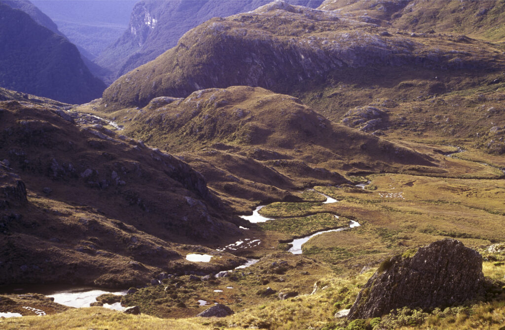
NEW ZEALAND, Mt Aspiring National Park. The Routeburn viewed from the Harris saddle on the popular Routeburn Track
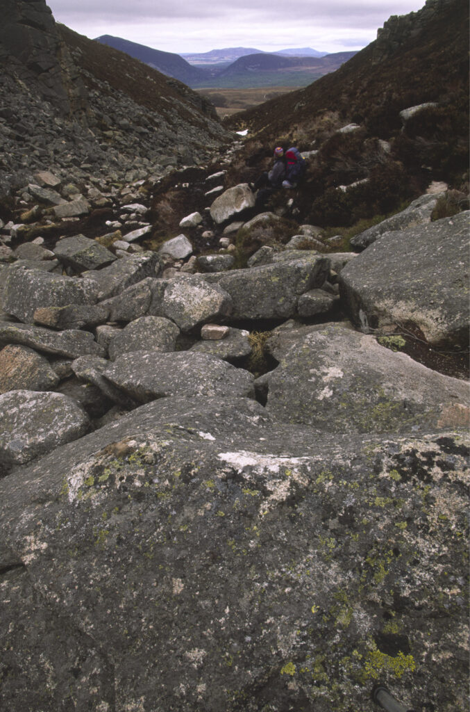
SCOTLAND, Scottish Highlands, Cairngorm National Park. The huge boulders of a hiking route through the Chalamain Gap.
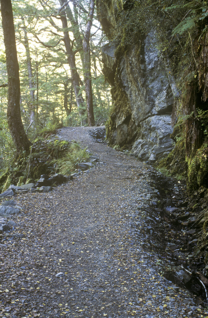
NEW ZEALAND, Otago, Mt Aspiring National Park. The well formed twisting path at the start of the Routeburn Track
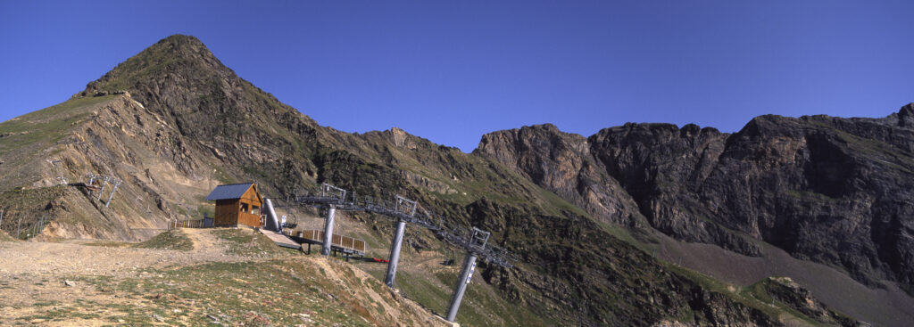
FRANCE, Midi Pyrenees, Pyrenees National Park. A chairlift offers an easy access route for summer visitors to this wild landscape
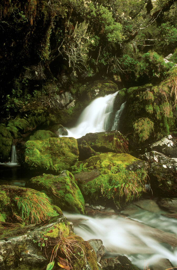
NEW ZEALAND, Otago, Fiordland National Park. Waterfall to be found on the popular Routeburn Track
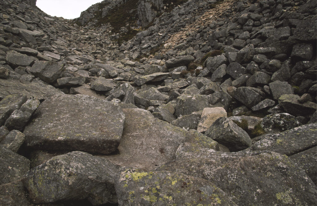
SCOTLAND, Scottish Highlands, Cairngorm National Park. The huge boulders of a hiking route through the Chalamain Gap.
Favourites
Photofeed
